The Peruvian Coast
Peru’s coast is home to breath taking landscapes, the ruins of ancient civilizations and an unparalleled level of cuisine.
Peru, Ancient Land of Mysteries
Peru is known for many great things, including the ruins of ancient civilizations, stunning nature and an unparalleled level of cuisine. We toured Lima and explored the Peruvian coast visiting numerous towns by bus including Pisco, Paracas, Ica and Huacachina and Nasca. During our past two trips along the Peruvian Coast, we were able to have authentic and local experiences through our own exploration and the eyes of multiple friends we met along the way.
Lima, The Capital of Peru
Lima is an expansive coastal city with stunning ocean views, Spanish colonial architecture, ancient ruins, catacombs, important cultural sights and irresistible cuisine, especially the seafood. In fact, we credit this trip with converting us from vegetarians into pescatarians. Lima is often an entry point to the country and jumping off point for other Peruvian destinations.
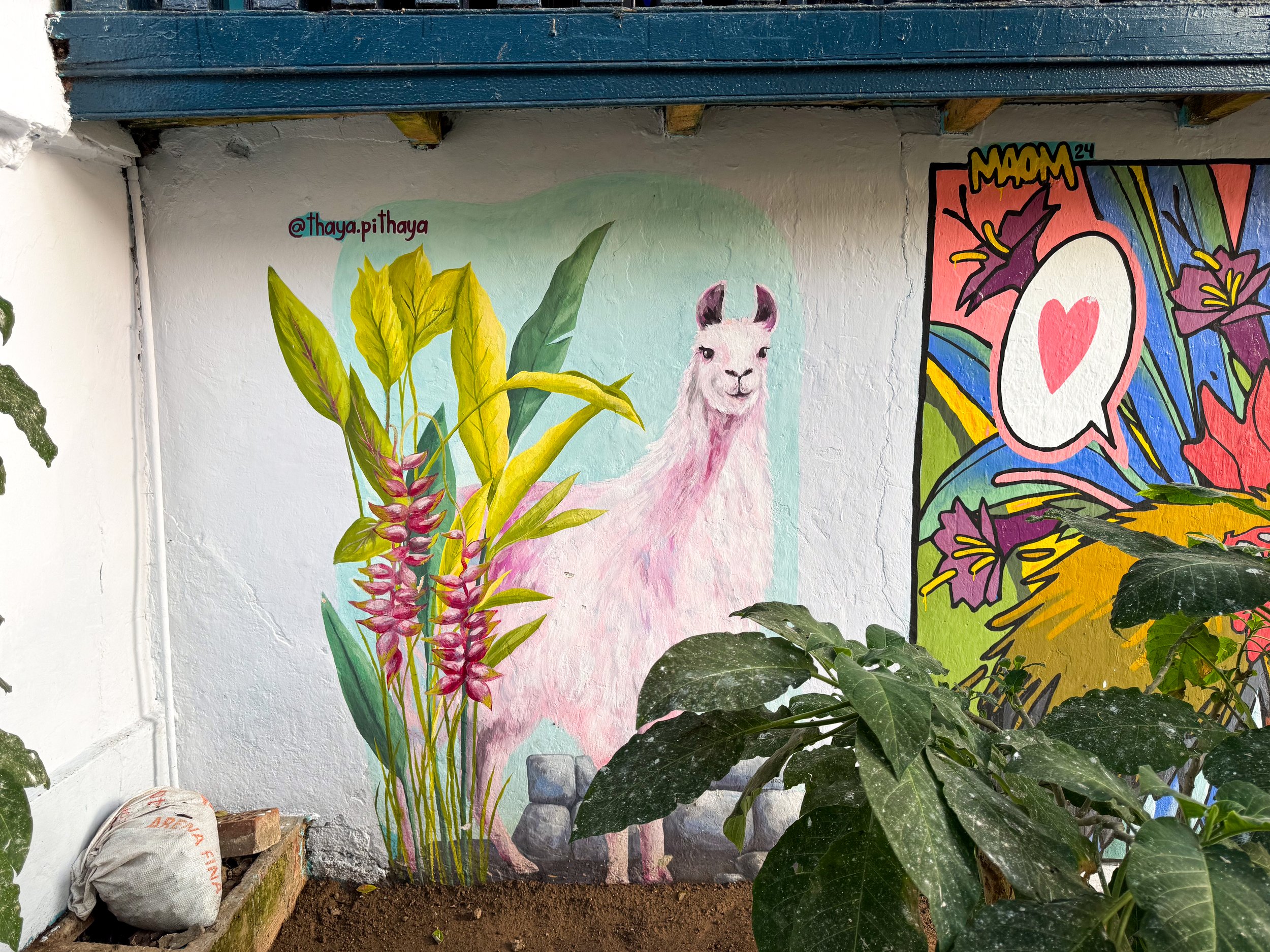


Our Favorite Neighborhoods
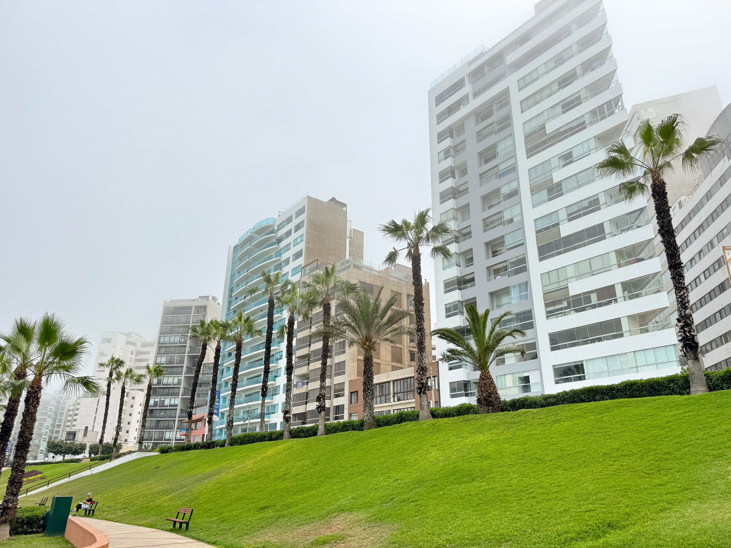
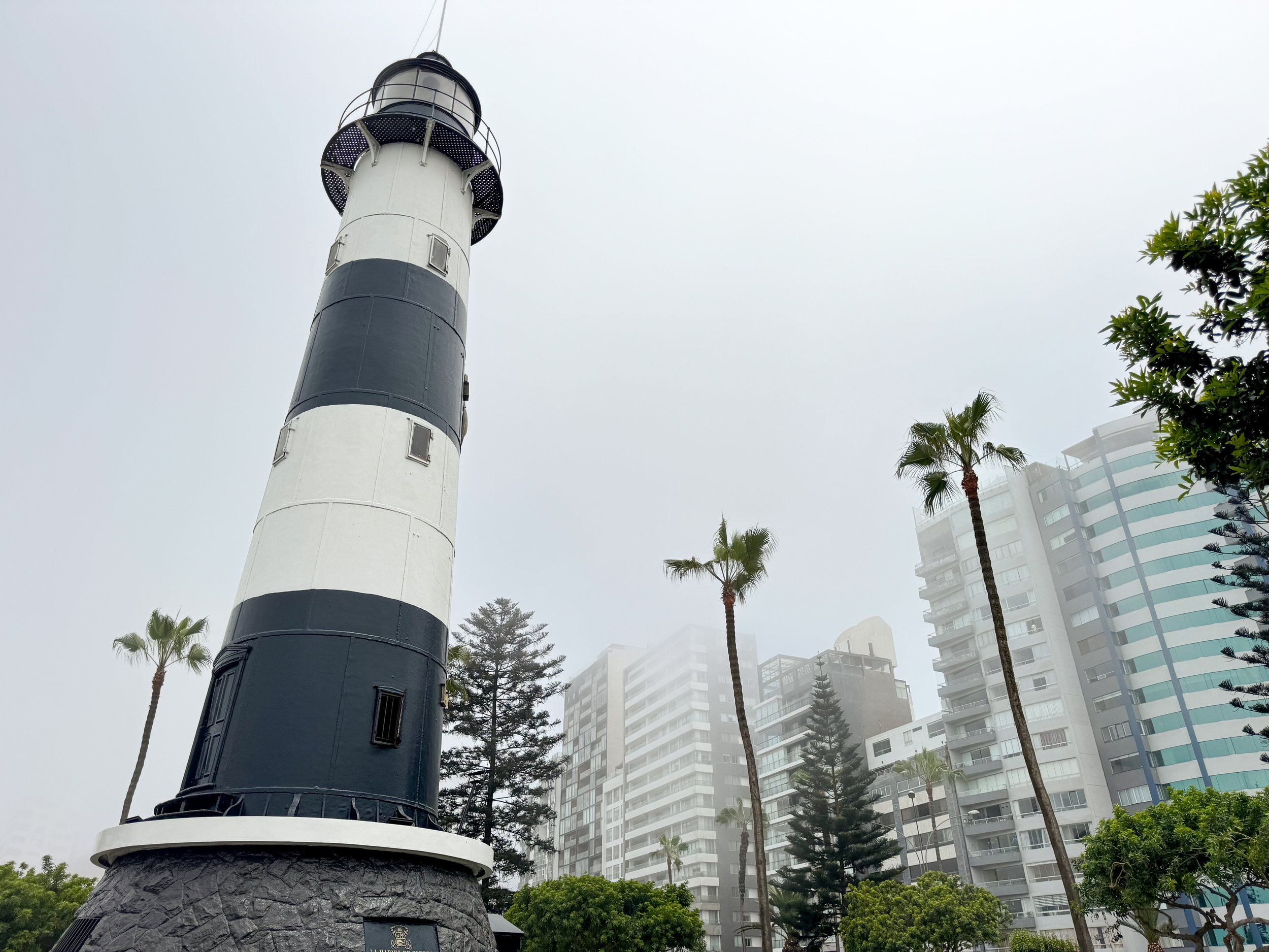
Miraflores, which translates to “Look at the Flowers” is a green neighborhood in the heart of the city with lush parks and coastal visitas. It’s an elevated area with modern skyscrapers, beautiful residences and many restaurants.
Locramar. An outdoor shopping mall in Miraflores with stores, restaurants and bars built into a cliff overlooking the Pacific Ocean.
Cat Park. A tiny park, home to at least 100 kittens and cats cared for by the city. Come here to cuddle and play with them as they wander the park.
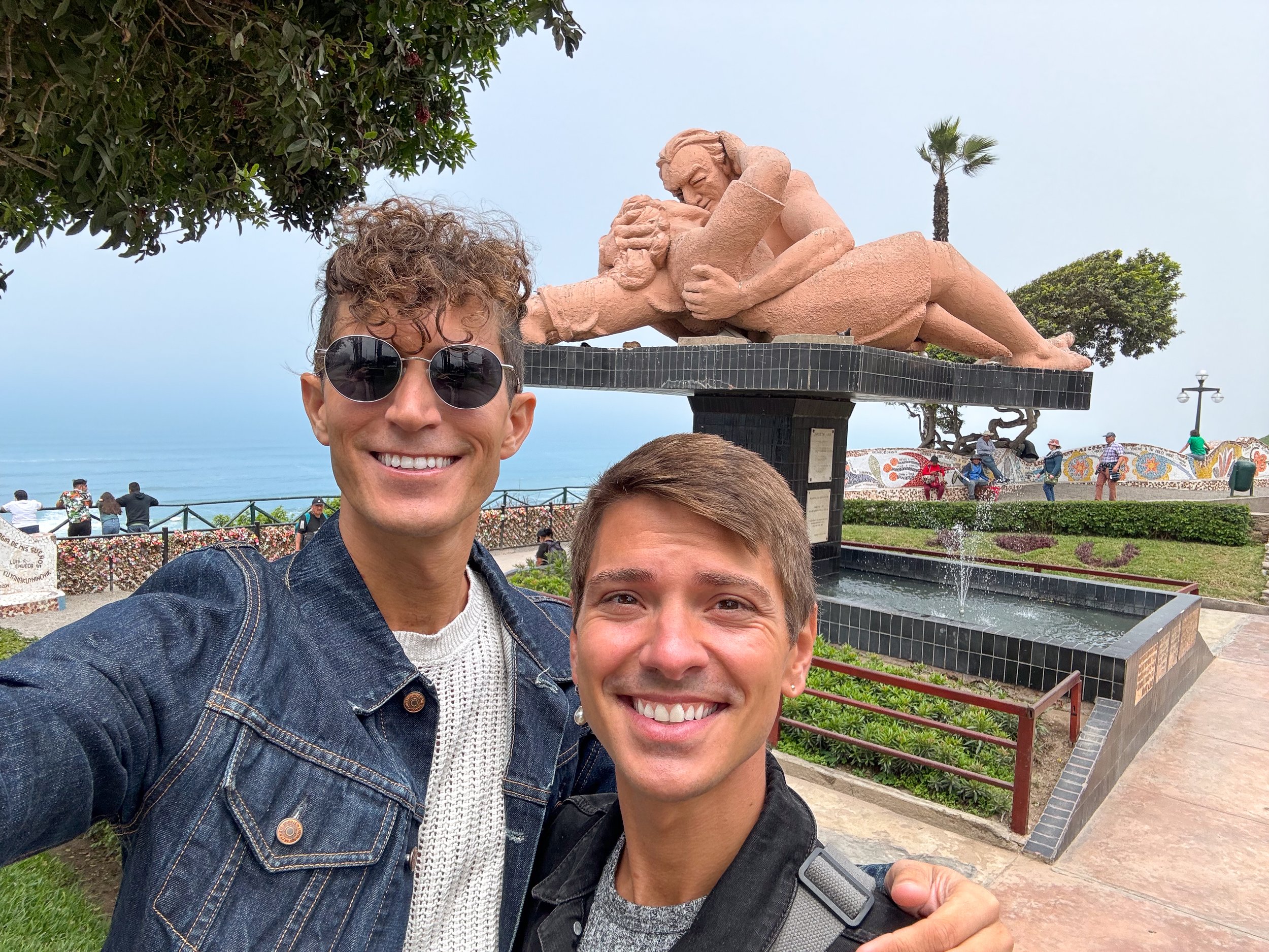
Love Park. A park along the seaside cliff in Miraflores with a large terracotta sculpture of two lovers lying and embracing, wavy colorfully tiled walls and a fence with heart shaped locks.
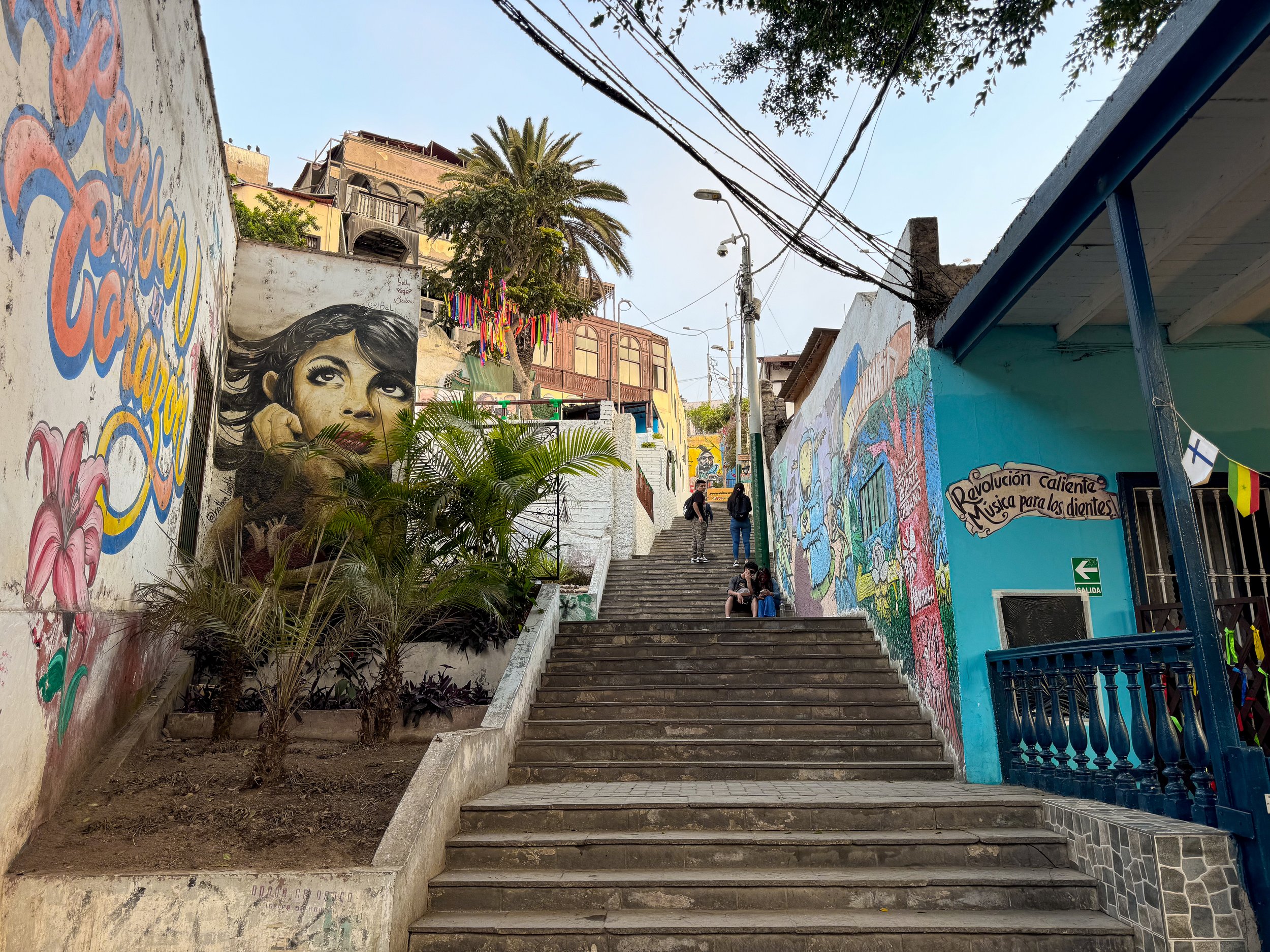
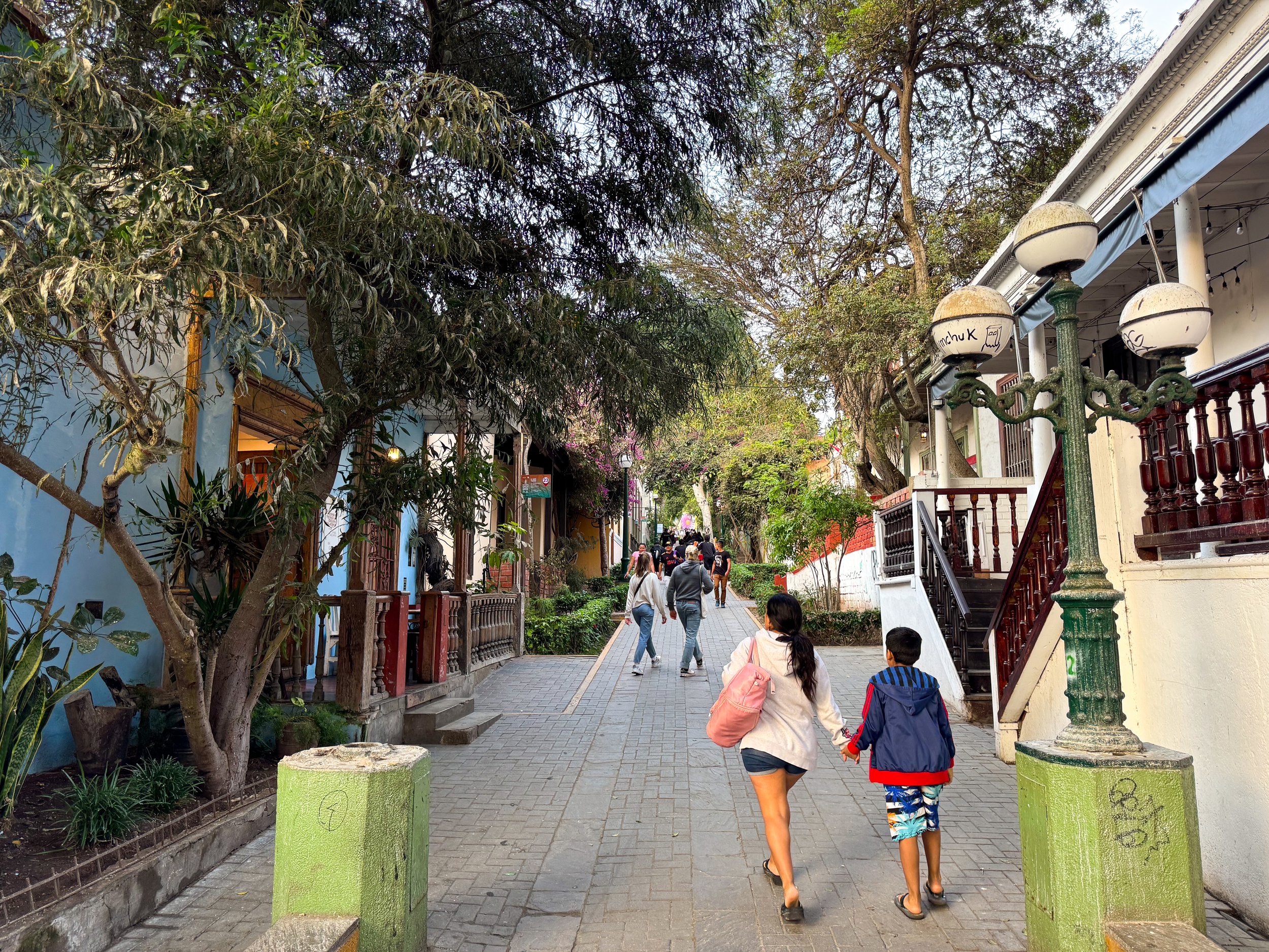
Barranco, another coastal neighborhood with an old world feel, local vibes and welcoming atmosphere. The neighborhood is walkable making it easy to spend time exploring by foot. We walked along narrow tree lined streets, through flowering parks, past historic buildings and admired the creative street art. There are plenty of bars, restaurants and coffee shops making it a lovely place to stay or visit.
Parque Federico Villarreal. A park with an abandoned cathedral and pedestrian walkway leading from the top of the neighborhood to a lookout over the ocean past several restaurants, bars, cafes, art galleries and shops. The lookout is a beautiful spot to watch the sunset.
Puente de los Suspiros. A wooden pedestrian bridge with views of the walkway below.
Parque Municipal de Barranco. A historic plaza in the heart of the neighborhood with colonial architecture including a yellow neoclassical cathedral, a pink library and reflecting pool with a Greek style fountain.
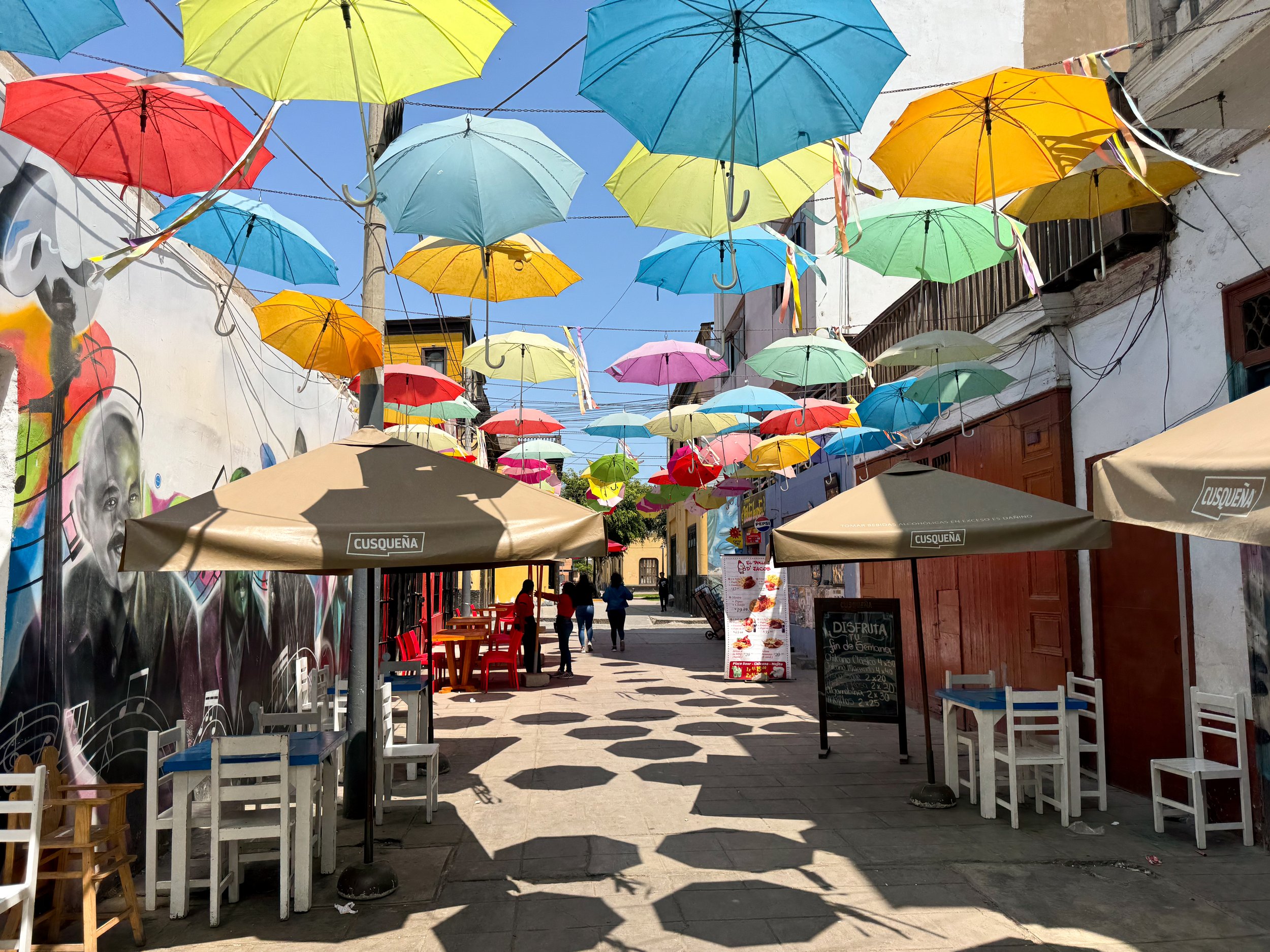
Callao, a neighborhood known locally for its fishing port and seafood restaurants. We explored the streets and sights around the central plaza where stopped to eat ceviche and drink pisco sours. The area outside of the central plaza is considered unsafe to visit.
Sights & Museums
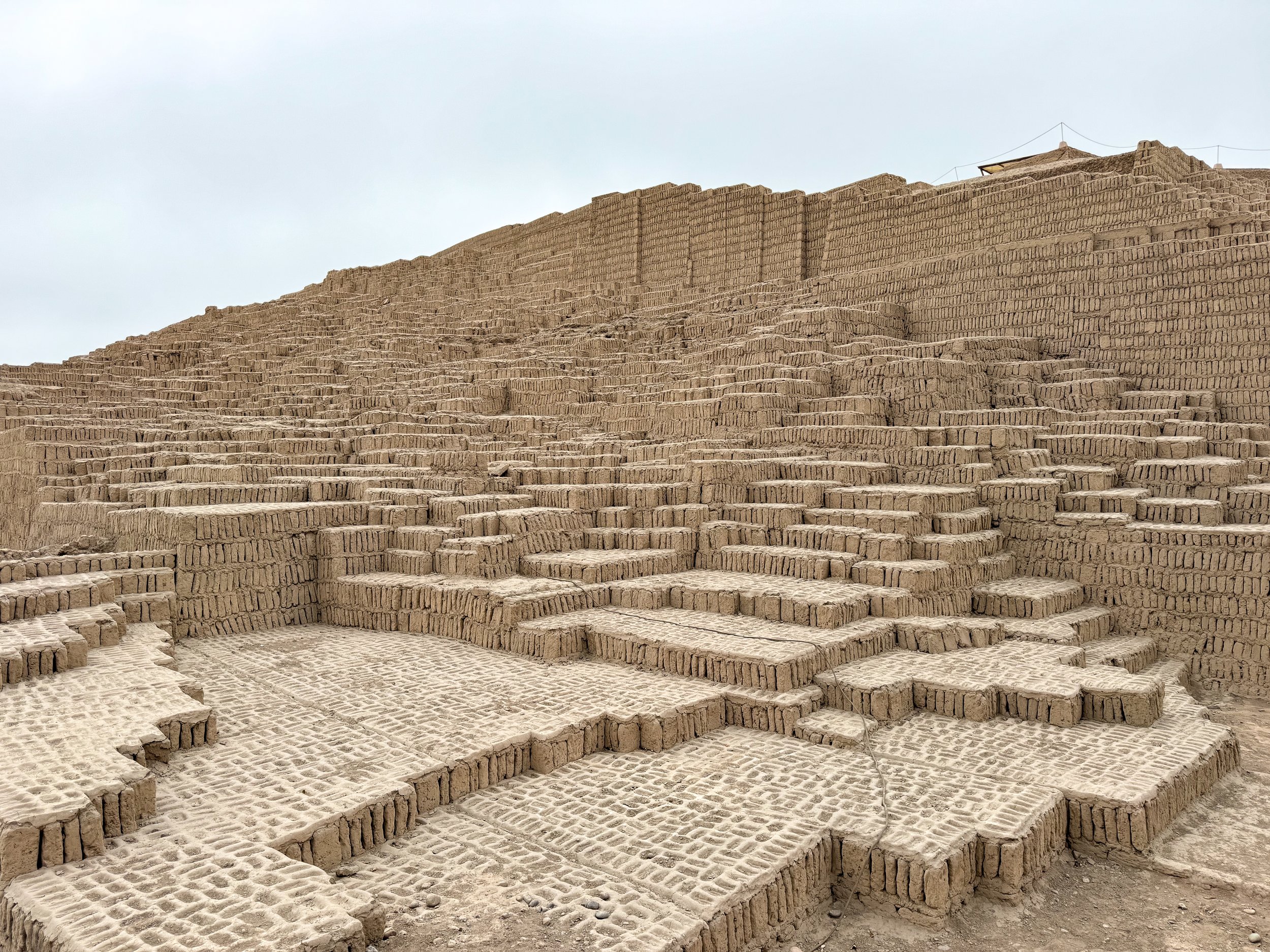
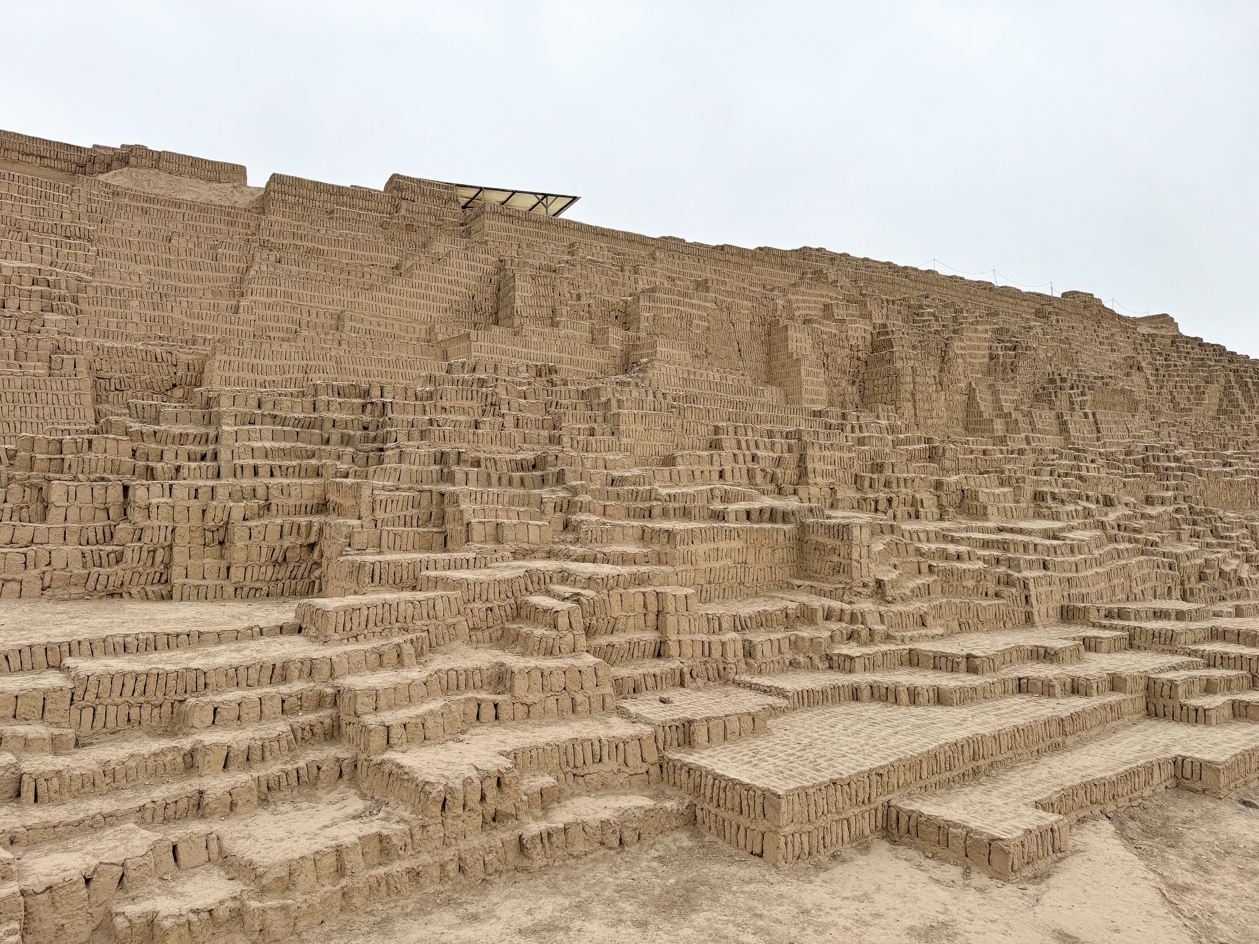
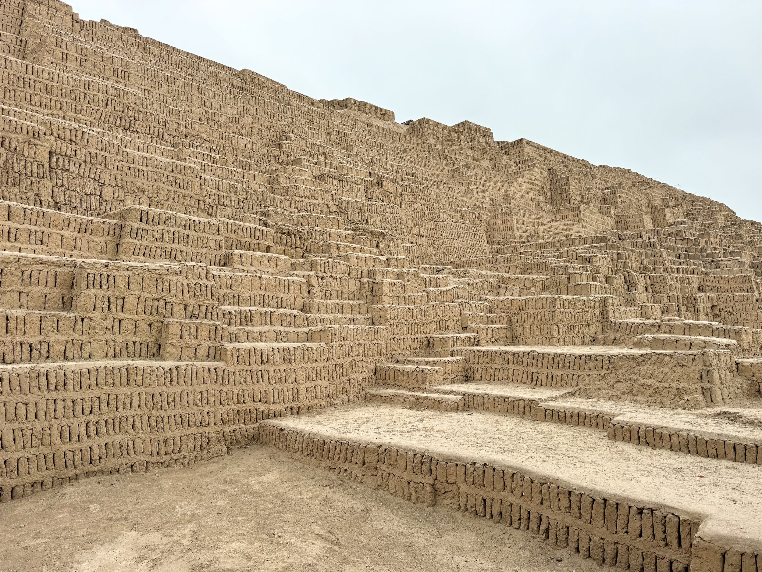
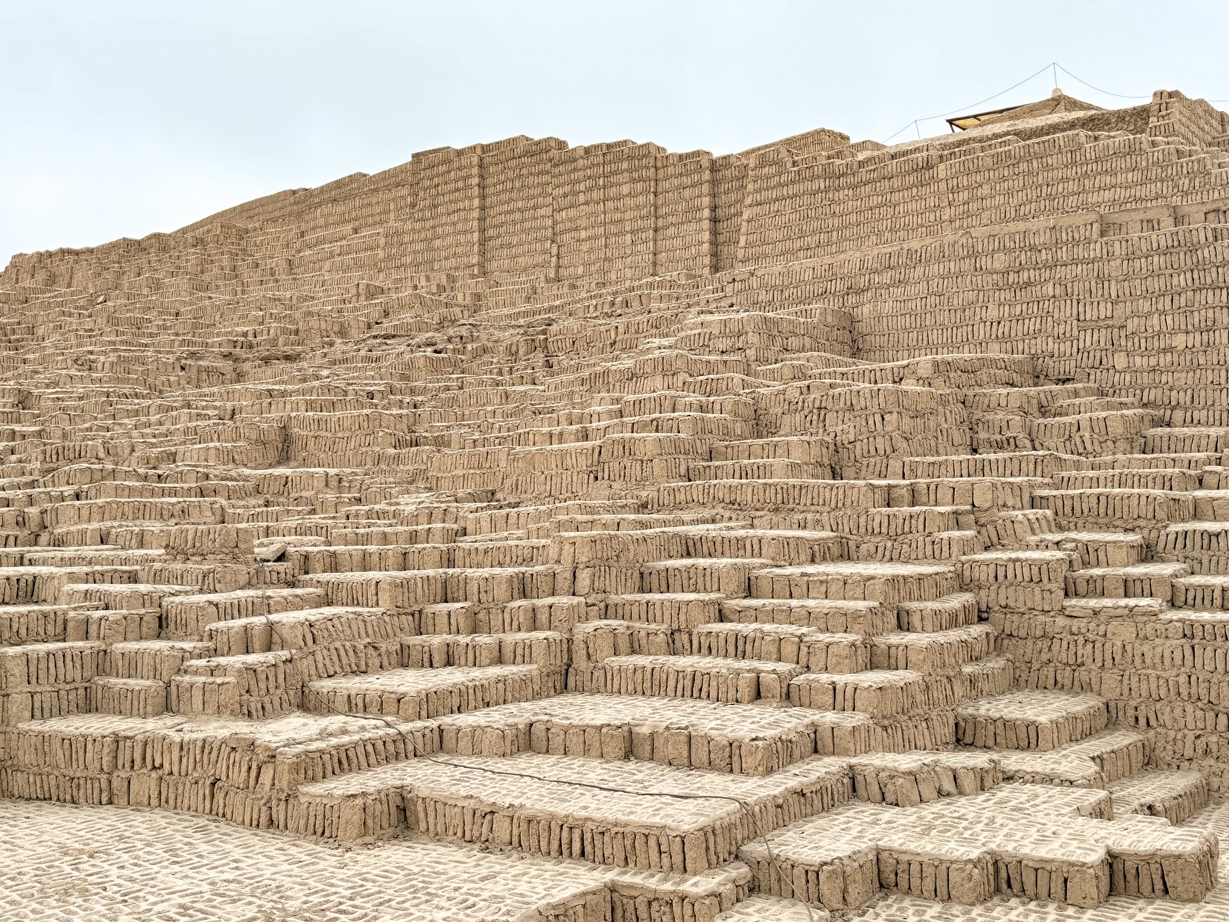
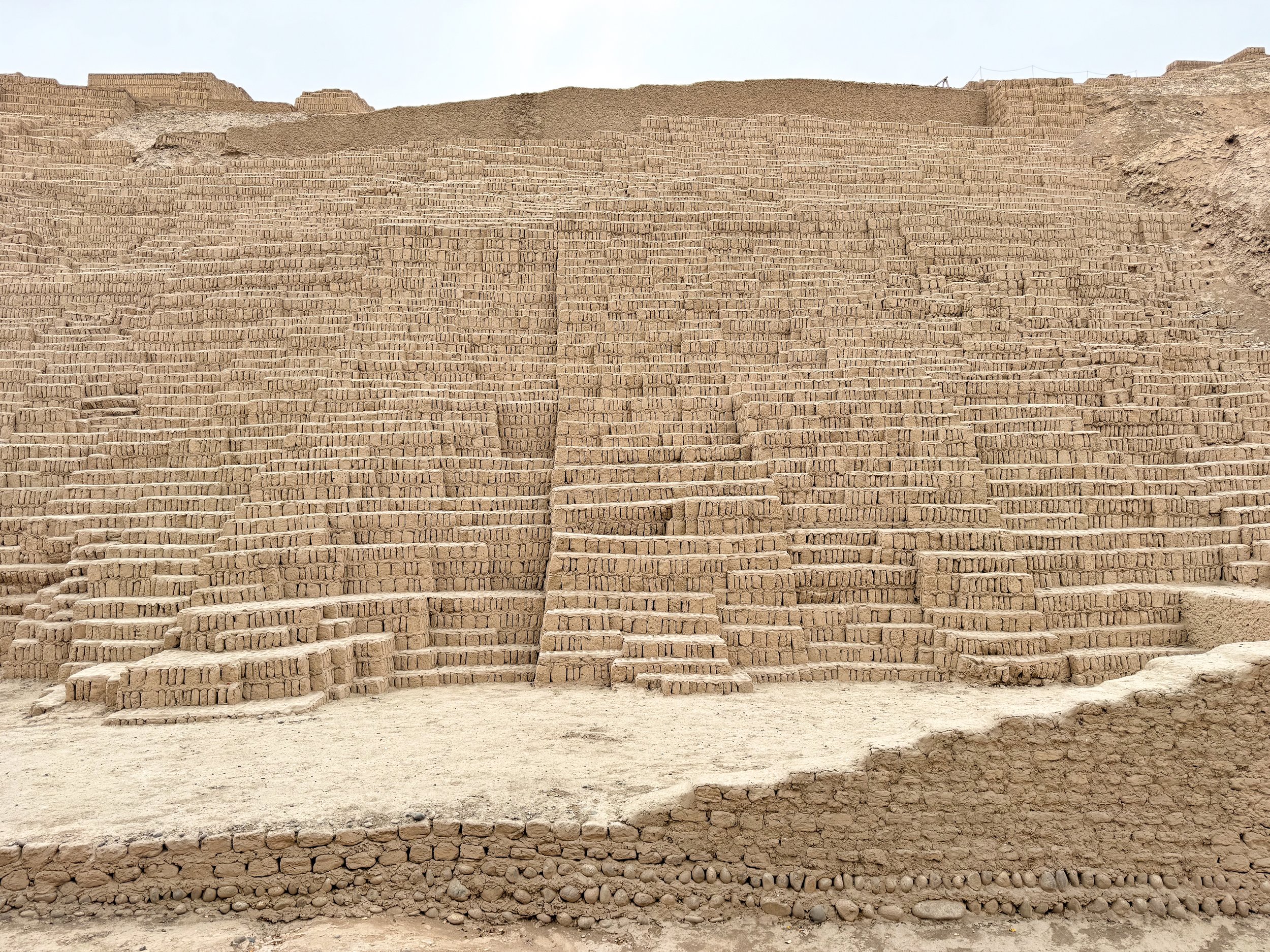
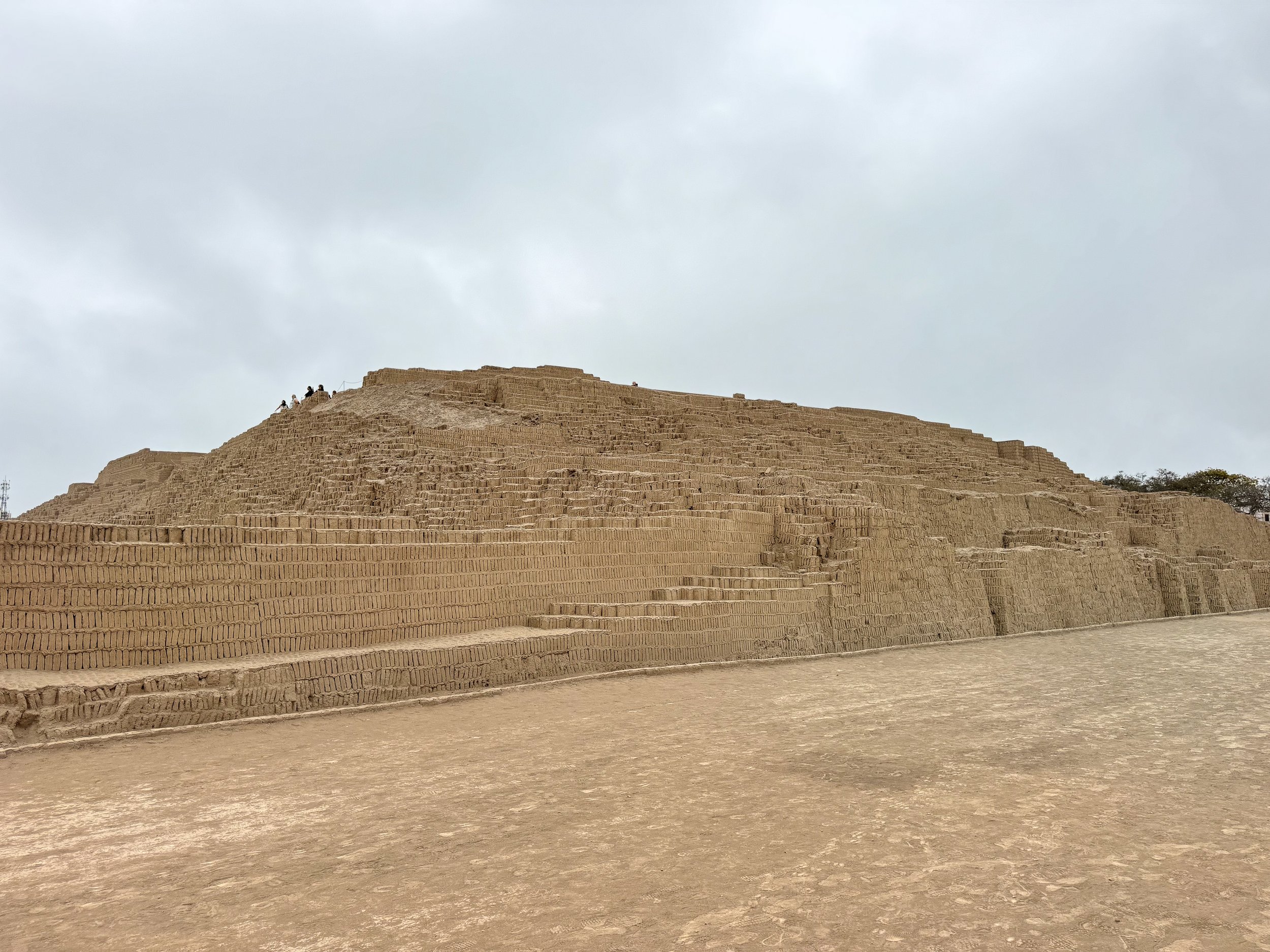
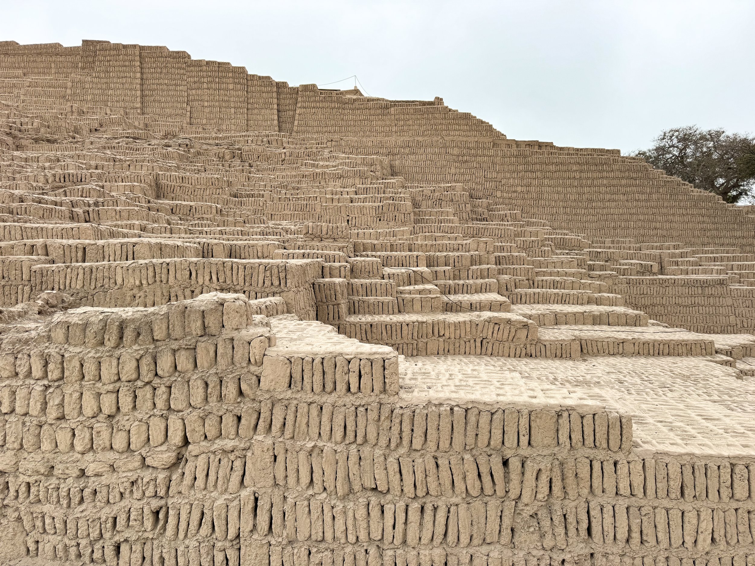
Huaca Pucllana Site Museum. An expansive adobe brick ruin that pre-dates the Incas. The grounds include the remains of a pyramid and many smaller structures. The pyramid is believe to have been used for ceremonial and sacrificial purposes. The ruins of other structures are thought to have been used for agricultural storage and administrative purposes for overseeing the civilization’s irrigation practices.
The sight is located in the middle of Lima, surrounded by modern civilization offering a unique contrast. It can only be toured by guide, available from the ticket office. With our guides, we spent over an hour walking its pathways, courtyards and on top of the massive structure.
Paragliding. The cliffs of Lima provide the perfect location for paragliding! Having never tried it before, we decided to give it a try. Taking off using on an improvised fan powered parachute, we soared into the air. From above, we overlooked the pacific coast and entirely of Lima, flying between Miraflores and Borranco before landing back at the beach. Our flight lasted about 20 minutes.
The Magic Water Circuit. It sounds extra touristy and it kind of it but it doesn’t make it any less grand. You’ll be treated to a light and water show within the park’s fountains, depicting holograms, images and music telling the story or Peru.
The Catacombs. A UNESCO World Heritage Site, located beneath the Basílica y Convento de San Francisco. The catacombs are lined with the skulls and bones of tens of thousands of humans, all uniquely organized and arranged in an array of terrifying yet beautiful patterns. No photos are allowed to be taken.
Plaza de Armas. The city’s historic center and main plaza. It’s surrounded by stunning government buildings, palaces and cathedrals.
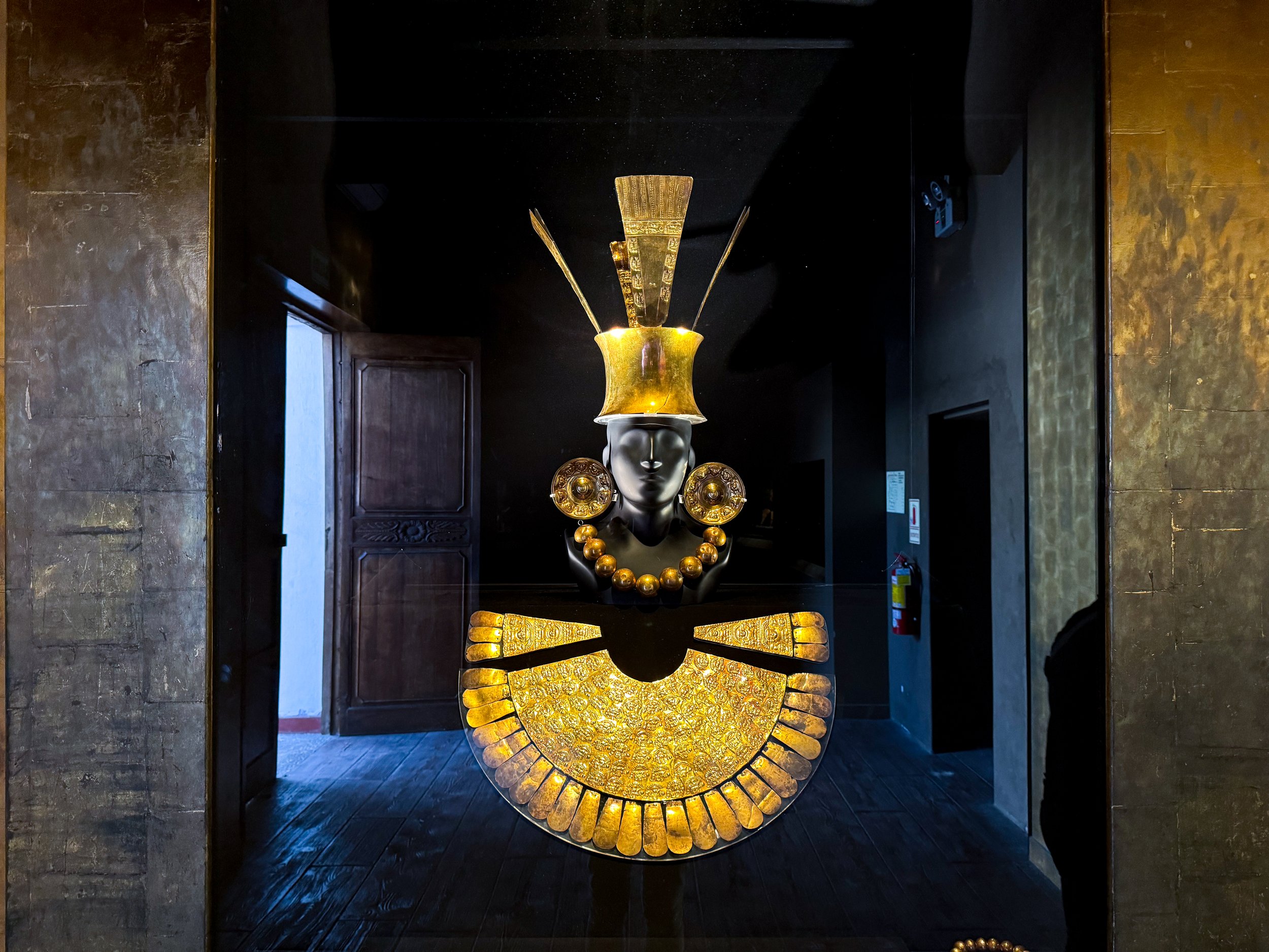
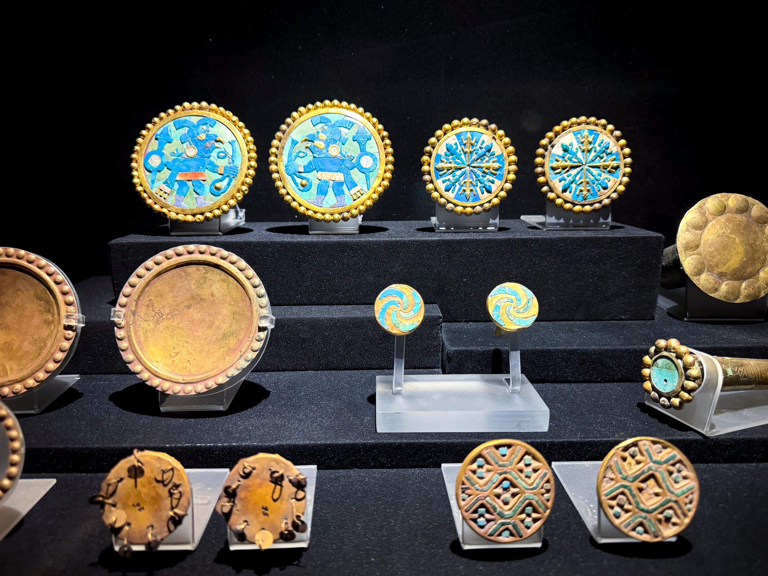
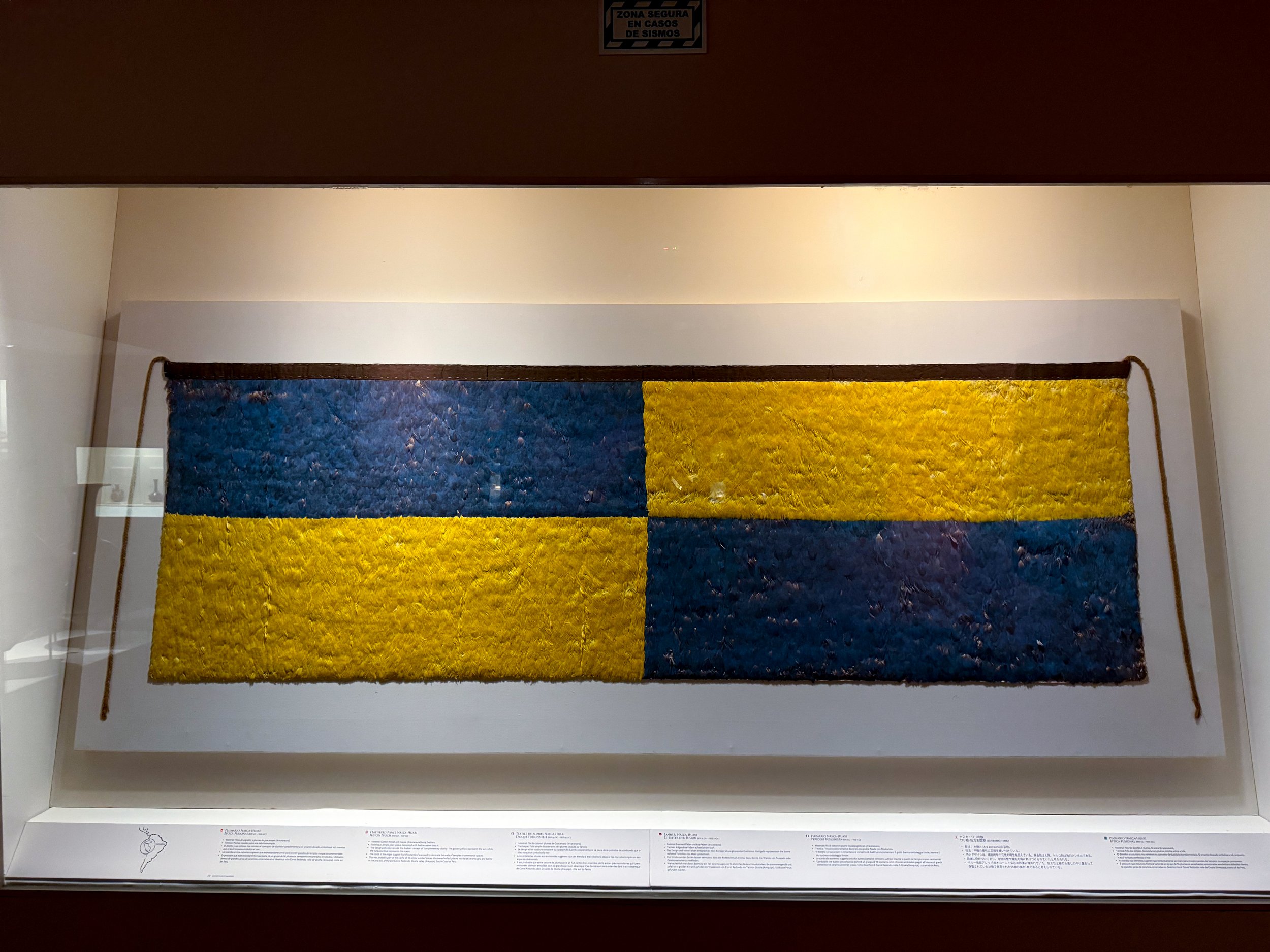
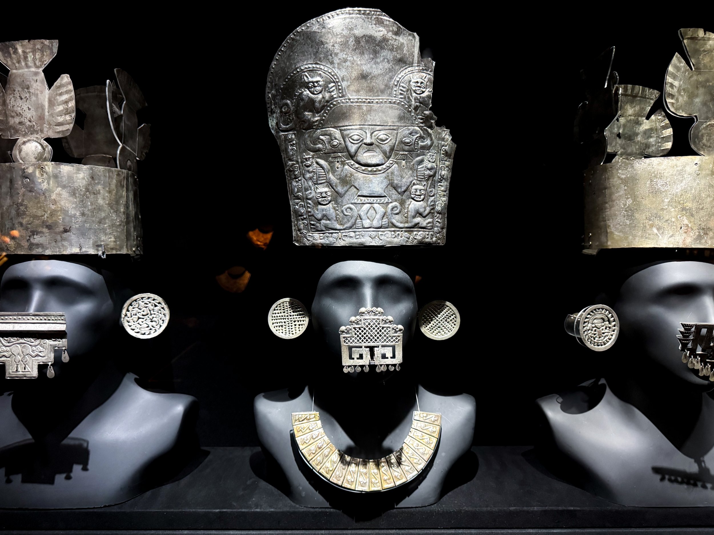
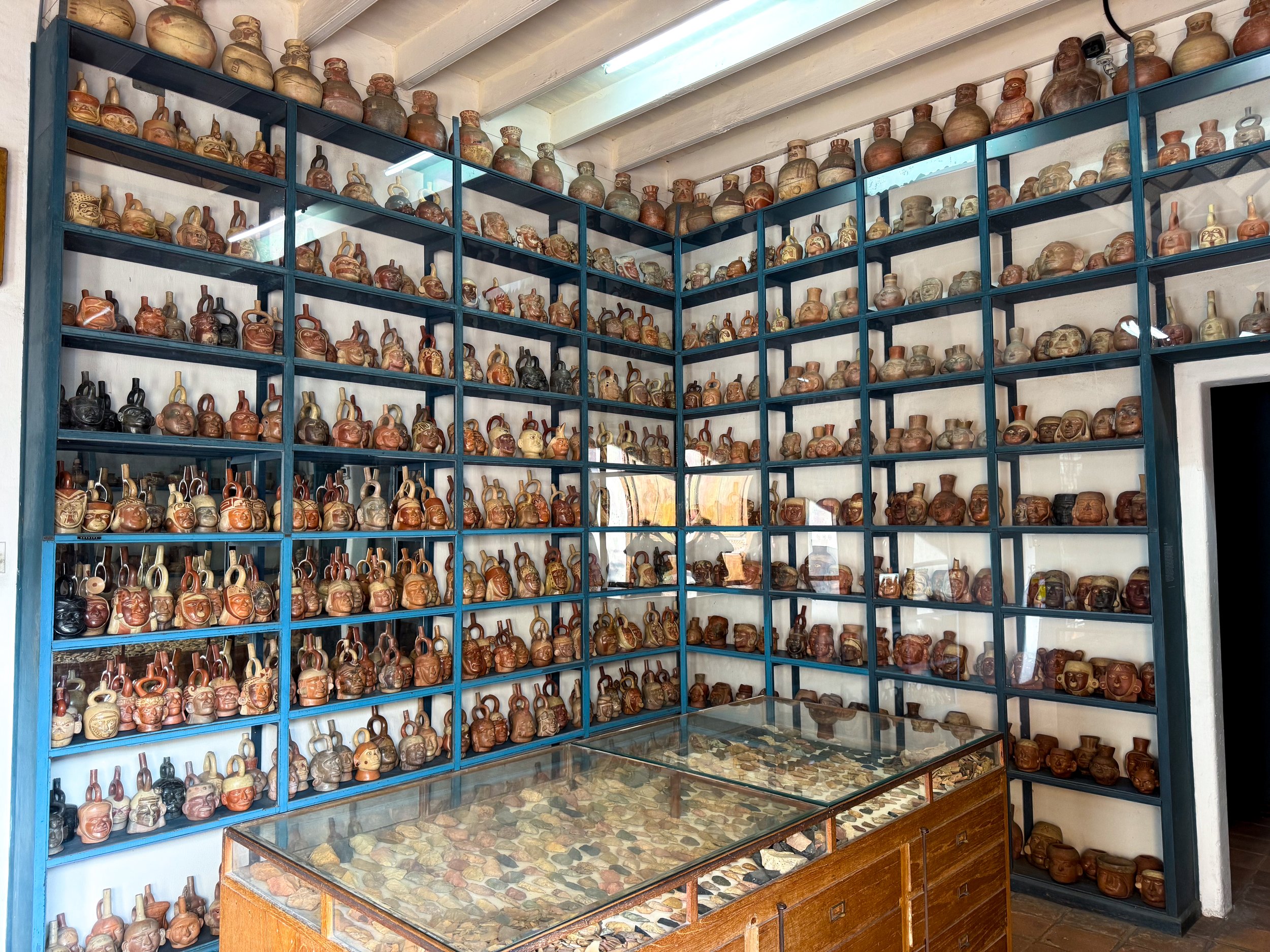
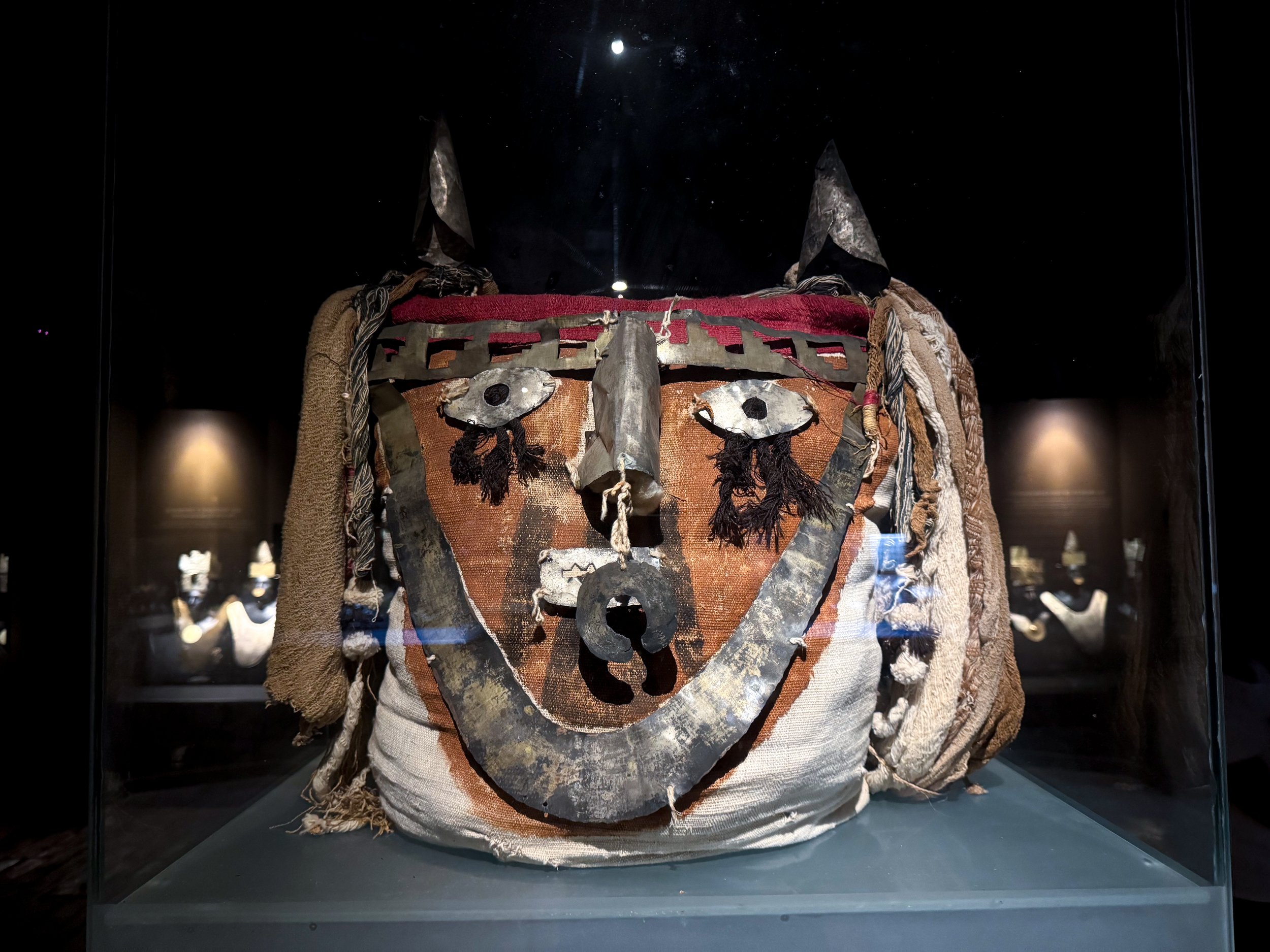
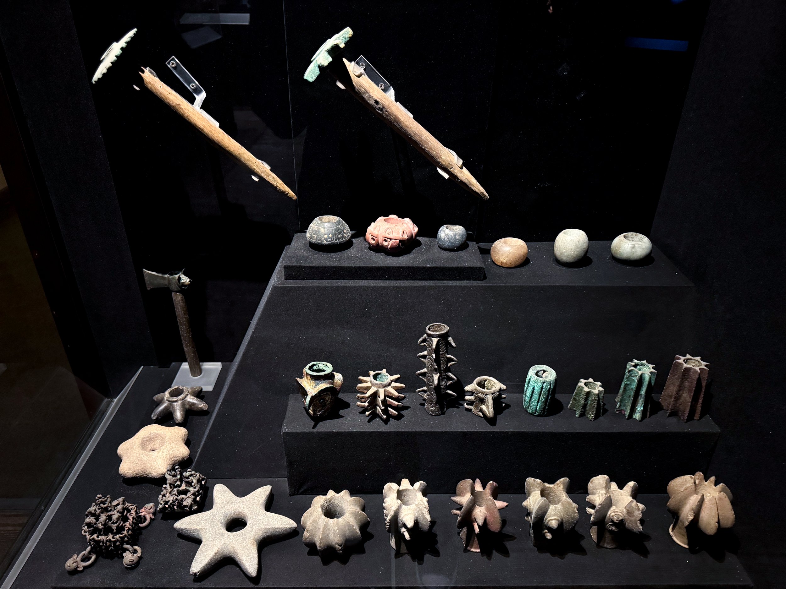
Larco Museum. An exquisite collection of Peruvian ceramics and artifacts dating back thousands of years until the arrival of the Europeans. The museum categorizes the ceramics by period and civilization, going into great detail about their design, manufacturing and cultural significance.
Other exhibits include one with erotic ceramics and visible storage room. In addition to ceramics, some of the most interesting artifacts are textiles used for record keeping, a tunic made from macaw feathers, mummified remains, precious jewelry and the the only complete royal funereally set with a golden mask, breast plate and headpiece.
Museo Oro del Perú y Armas del Mundo. A museum with gold and silver artifacts from past Peruvian civilization including jewelry, clothing, mugs, funeral offerings and carved stone weaponry. Some of the more fascinating artifacts are mummified remains, human skulls wearing ancient feathered headdresses, golden wall panels from the ancient city and gold plated blankets used by royals.
Fortaleza del Real Felipe. A historic stone military fortress with a pentagon shaped structure, round guard towers, walls lined with hundreds of cannons and a central courtyard still used by the military today. The two guard towers are the most impressive to visit. We explored their labyrinth of rounded tunnels, ramps and staircases leading to rooms, chambers and lookouts.
Where to Eat & Drink
Amankaya - Peruvian Food. A delectable seafood restaurant built within a house in Miramar neighborhood of Lima. We came here for the fresh ceviche, buttery seafood rice, flamed mixed seafood scallops and chilcano cocktails.
Coffeebrix. A cute cafe for artisan coffees, breakfast toasts, egg dishes and croissants.
Curayacu Tiki Bar - Barranco. Known as Peru’s first Tiki Bar, the mixologists at this hidden gem make inventive tiki drinks and the classics with Peruvian Rum and a theatrical performance sometimes including elaborate presentations, torched garnishing or a seafaring story. The bar is located in the basement in the Barranco neighborhood with tiki decor, a tropical ambience and one of a kind mugs.
En Su Punto. A seafood restaurant on a colorful street in Callao covered with umbrellas and banderas. We came here for their lunch specials and ordered the fried seafood chicheron and ceviche for 25 Soles and 2 Pisco sours for 25 Sols.
Getting Around Lima
By Uber. Getting to and from the airport or longer distances within the city is easiest by Uber.
On Foot. The neighborhoods of Borranco and Miraflores are very walkable. We explore both on foot, even walking between them.
Getting Around Peru
From Lima, it’s easy to get around the country by bus. During our past two trips to Peru, we took Perubus & Peru Hop.
Perubus. During our first trip to Peru, we used Perubus to travel between Lima, Pisco and Ica. Prices are extremely affordable, costing less than $10 for tickets between destinations with bus terminals in all three cities.
Peru Hop. The best way to get around Peru is by Peru Hop, a hop on hop off bus with destinations all across the coast from Lima, Paracas, Huacachina and Nazca into the Andes to Arequipa, Cusco and Puno (Lake Titicaca) then onward to Copacabana and La Paz, Bolivia. It is by far the best way to see Peru, allowing us to build our own itinerary, stopping at as many destinations along the way for as long as we would like.
Paracas
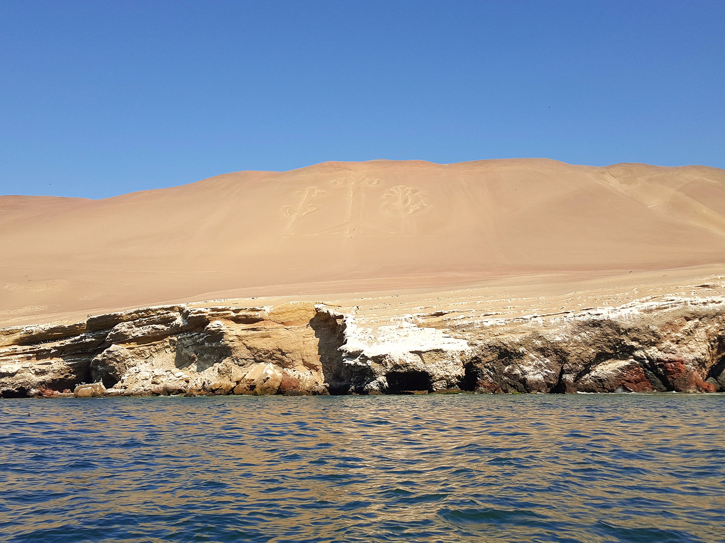
Paracas is fishing village and backpackers haven along the Pacific coast known for its marine nature reserves, sprawling desert sand dunes and a large geoglyph called the Candelabra.
Sights
Paracas Harbor. The harbor is dotted with fishing boats bringing the days catch to the waterfront restaurants lining the beach in town. Its city center is surrounded by hostels, tour companies and more restaurants bars. We at lunch at Restaurant Tipico Bahia, a restaurant on the waterfront serving local Peruvian dishes. We ordered the ceviche, Jallea (mixed fried seafood) and Cusquenas.
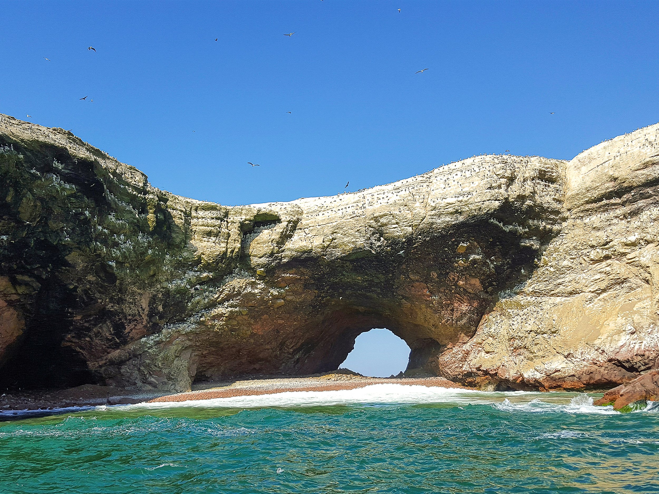
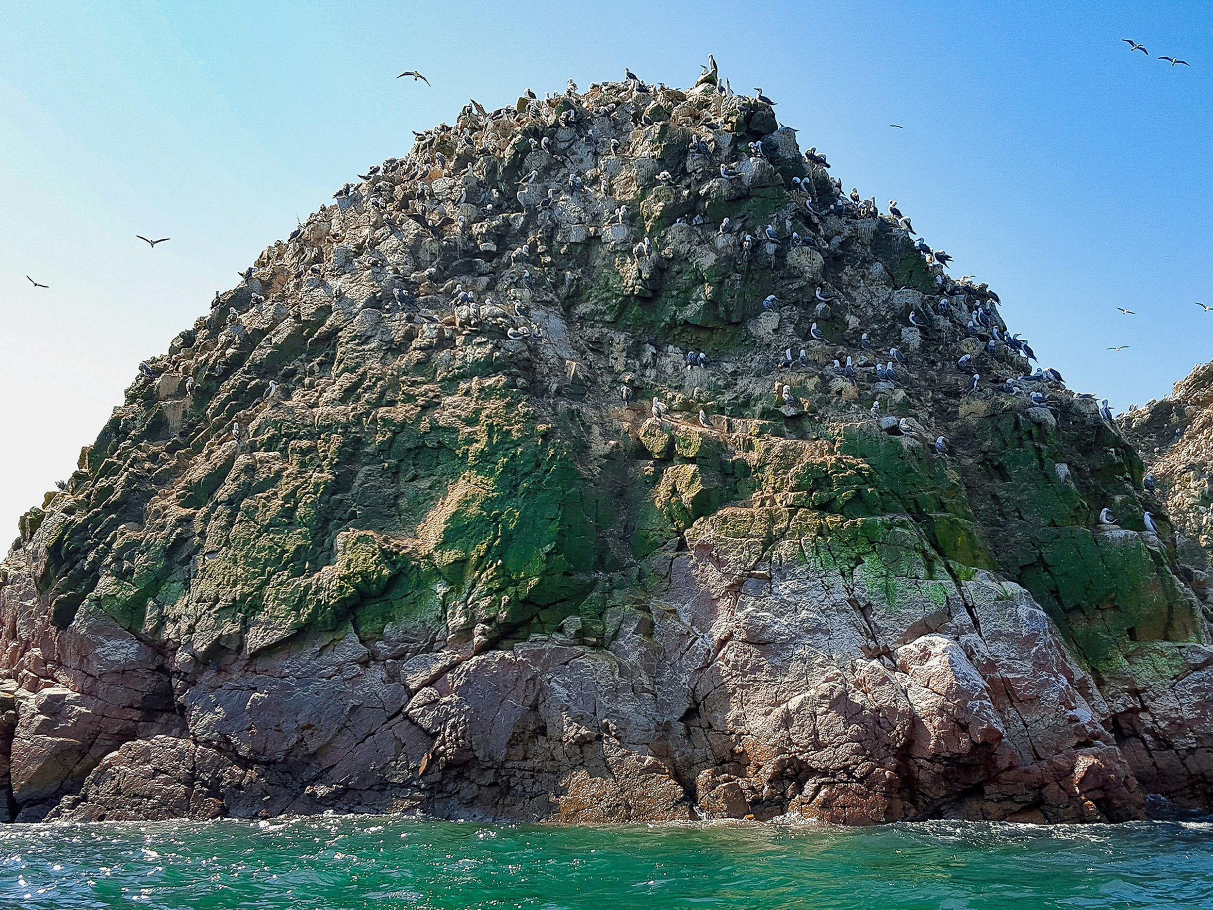
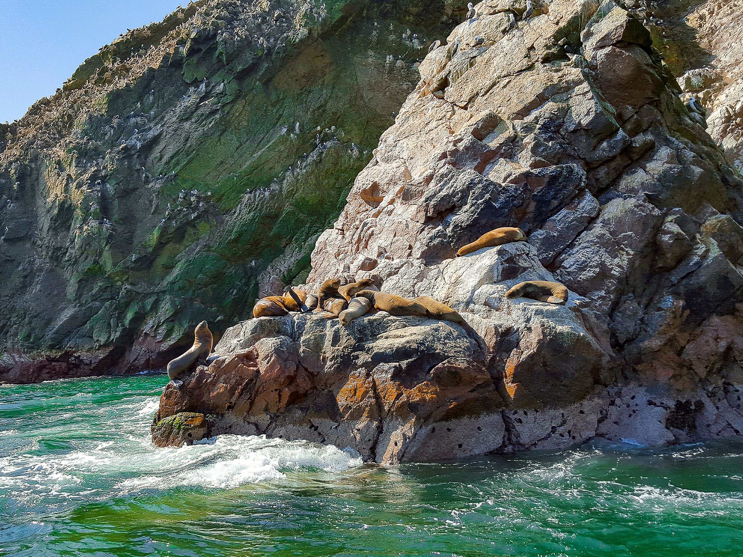
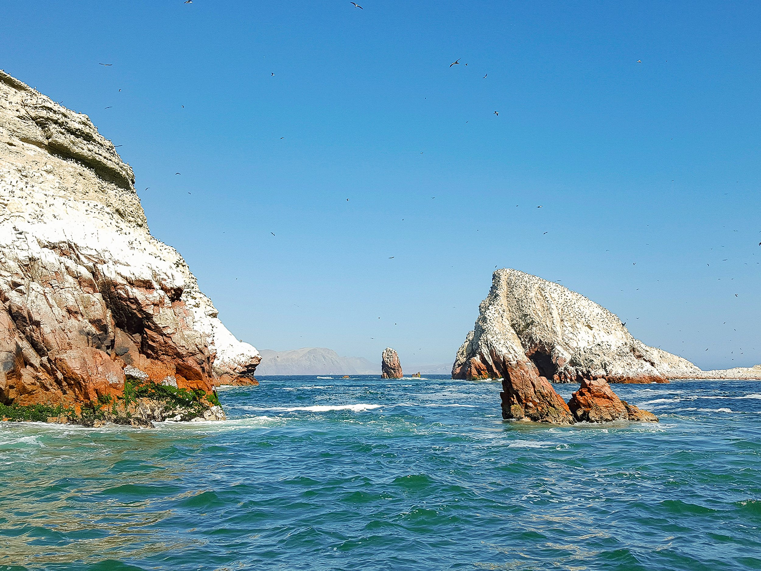
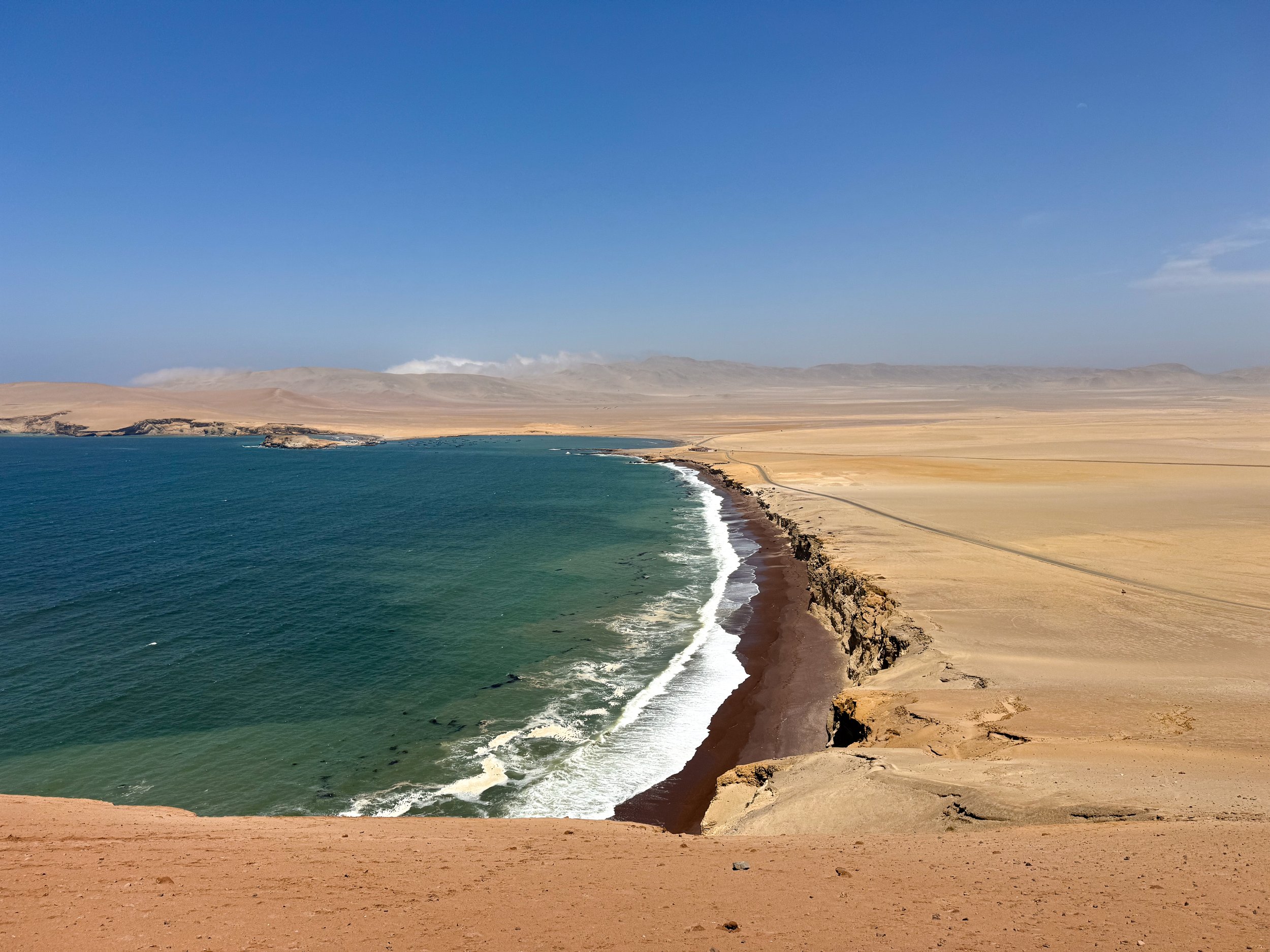
Reserva Nacional de Paracas. A national park in Paracas with a vast marine and desert reserve home to species of penguin, seabirds and sea lions. We explored The Ballistas Islands by boat, stopping at multiple locations to see penguins nesting, a large sea lions mating, flocks of birds feeding and a sea arch. Along the way, we passed the Paracas Candelabra, a massive geoglyph carved into the side of the mountain by an ancient civilization dating back 2,000 years. On land, we visited Playa Roja, a deep red sand beach along the cold pacific waters. Above the beach, we stopped at Mirador Istmo II, a lookout with views of the shoreline and sprawling yellow sand desert.
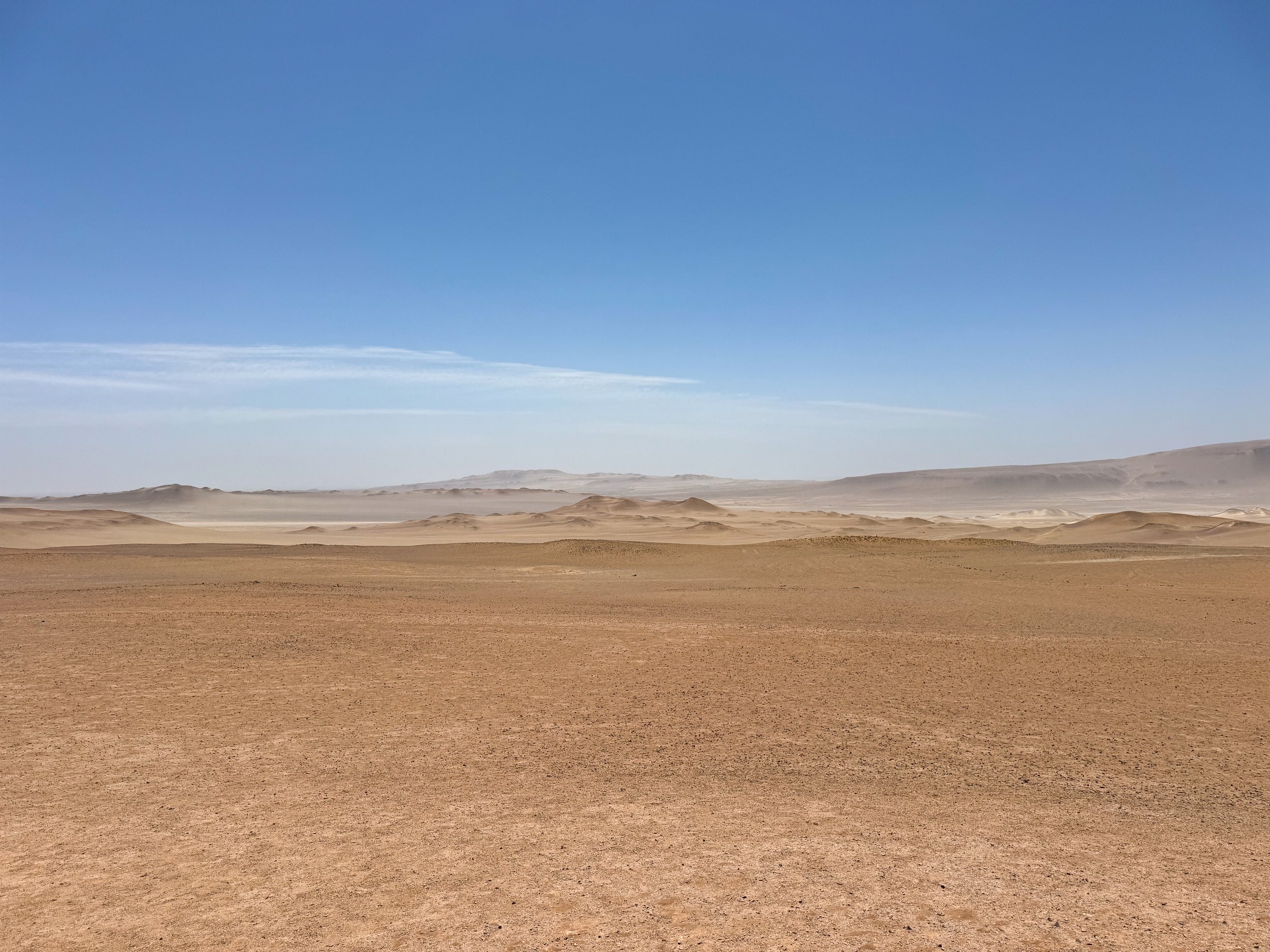
The Paracas Desert. A vast desert stretching from the Pacific Coast to the Andes Mountains with a seemingly endless horizon of massive sand dunes. In town, there are a number of guides offering tours into the desert. We booked with one that took us on a wild dune ride that traversed the massive valleys of sand. Half way through the tour, we stopped to try sand boarding for the first time. After a several attempts, mostly involving tumbling down the dune and crawling back to the top, we eventually gave up. Afterwards, we stuck around late enough to watch the sunset.
Getting to Paracas
The best way to visit Paracas is by Peru Bus or Peru Hop. Plan to arrive by mid morning to get to the Ballestas Islands. There are many speedboat companies along the harbor that offer 2 to 3 hour tours for less than $20 per person. Prices and times are comparable for Dune Tours.
Pisco
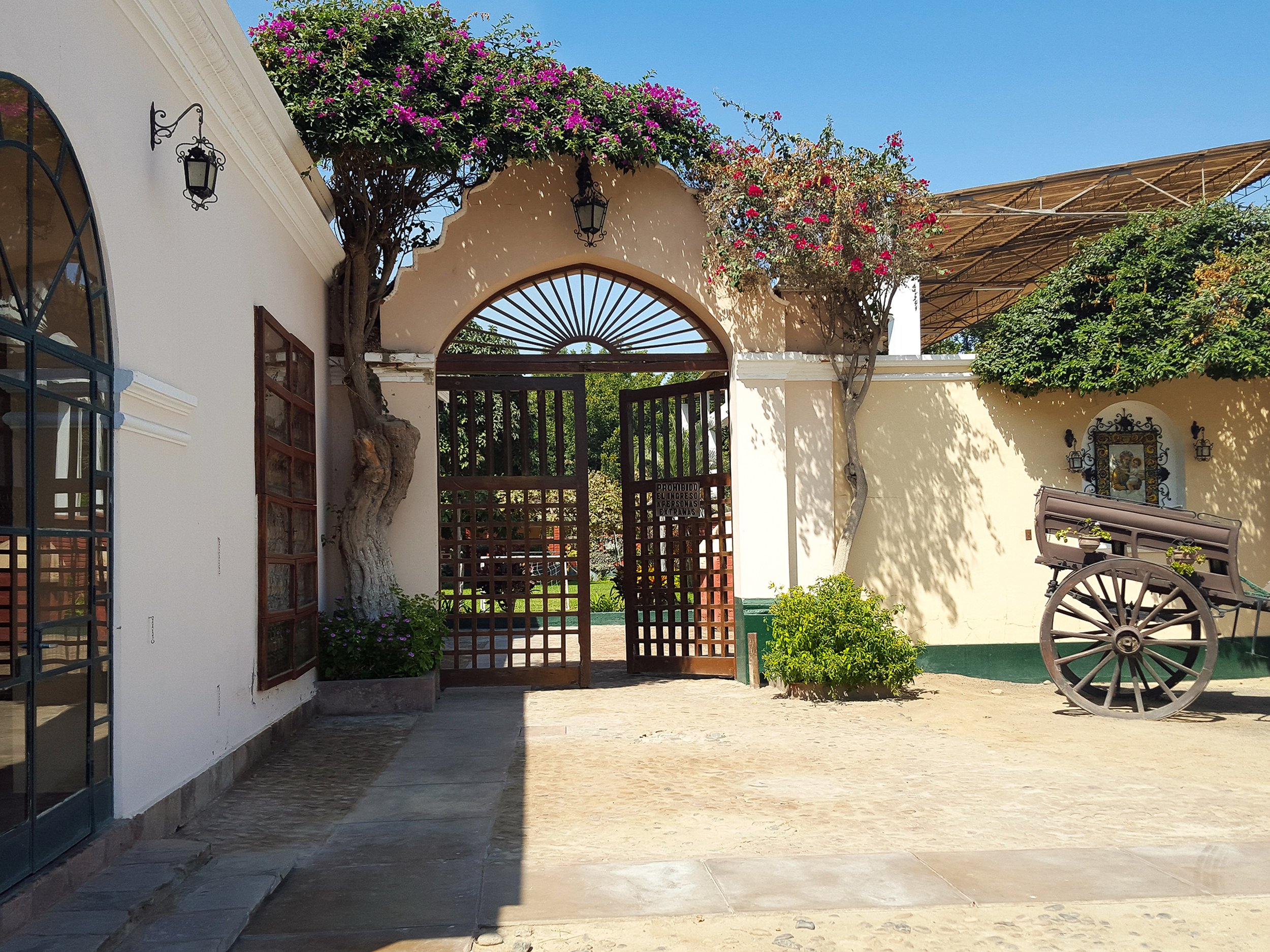
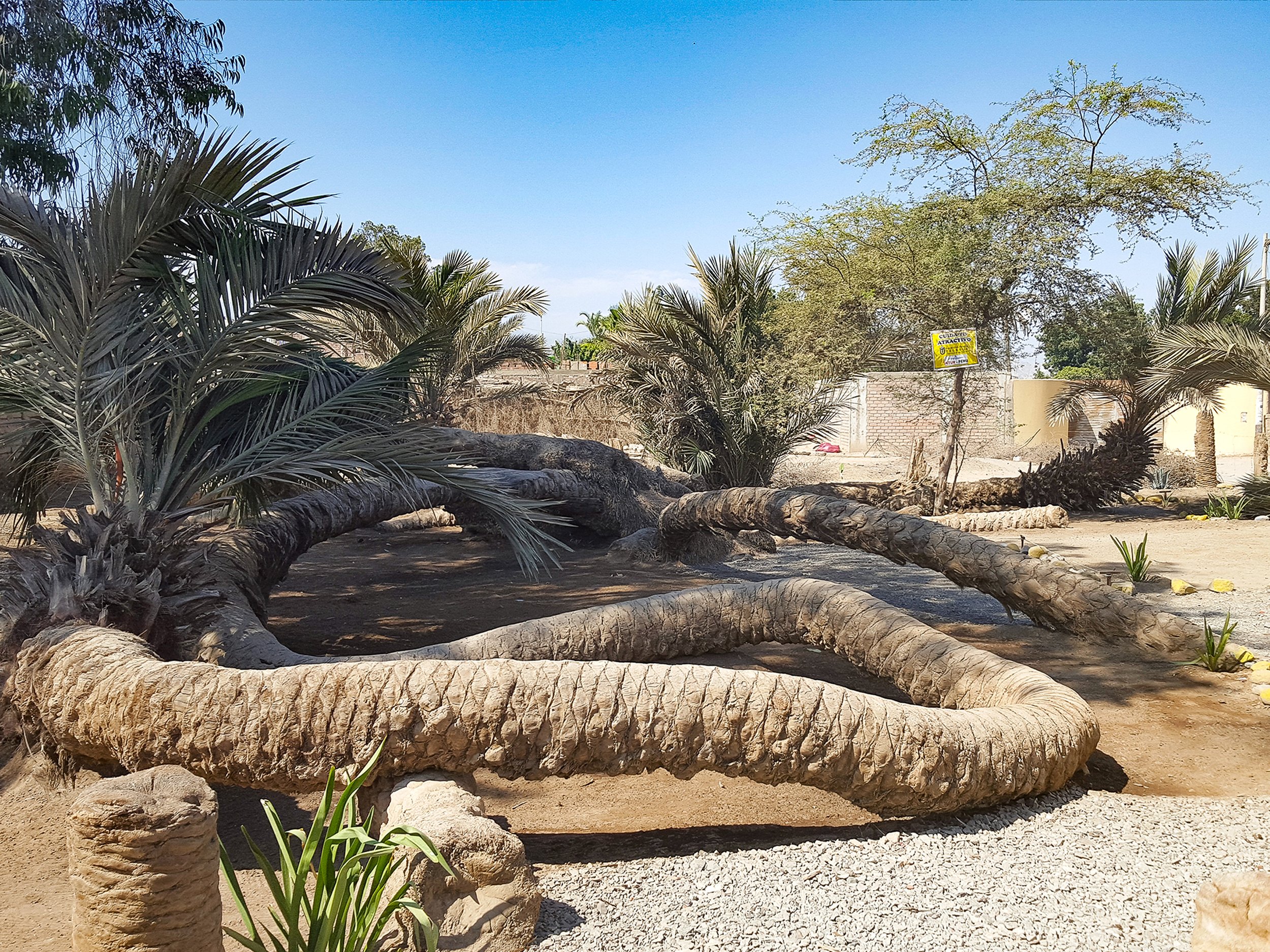
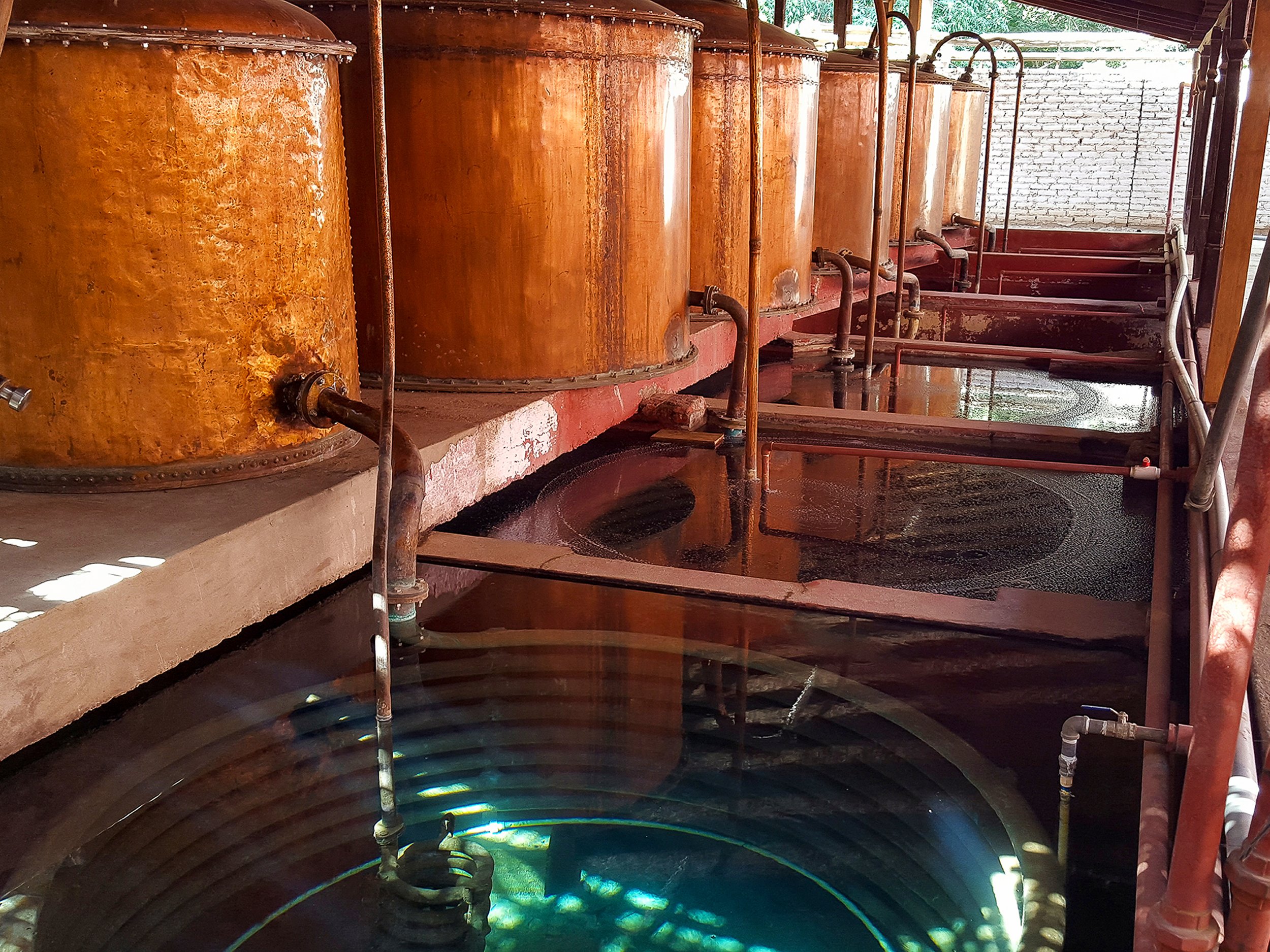
Home of Peru’s national drink, the Pisco Sour. Pisco is a spirt fermented from grapes and distilled in large copper basins. While staying in town with our friends’ relatives, we drank homemade Pisco and watched Peruvian late night television. The town is hyper local with a central square, very few travelers and tuk tuk taxis racing down the dusty streets.
Here is a great recipe for a Pisco Sour:
2 oz Pisco
3/4 oz fresh lime juice
1 oz simple syrup
1 egg white
Angostura bitters
Shake all ingredients vigorously for about 30 seconds, then add ice and shake for at least another 15 seconds. Strain into a chilled glass and garnish the frothy top with a few dashes of the bitters.
Ica
Ica is a region of the Peruvian desert at the base of the Andes Mountains with wine vineyards, Pisco distilleries, a desert oasis and nature reserves.
Peruvian Wines & Vineyards
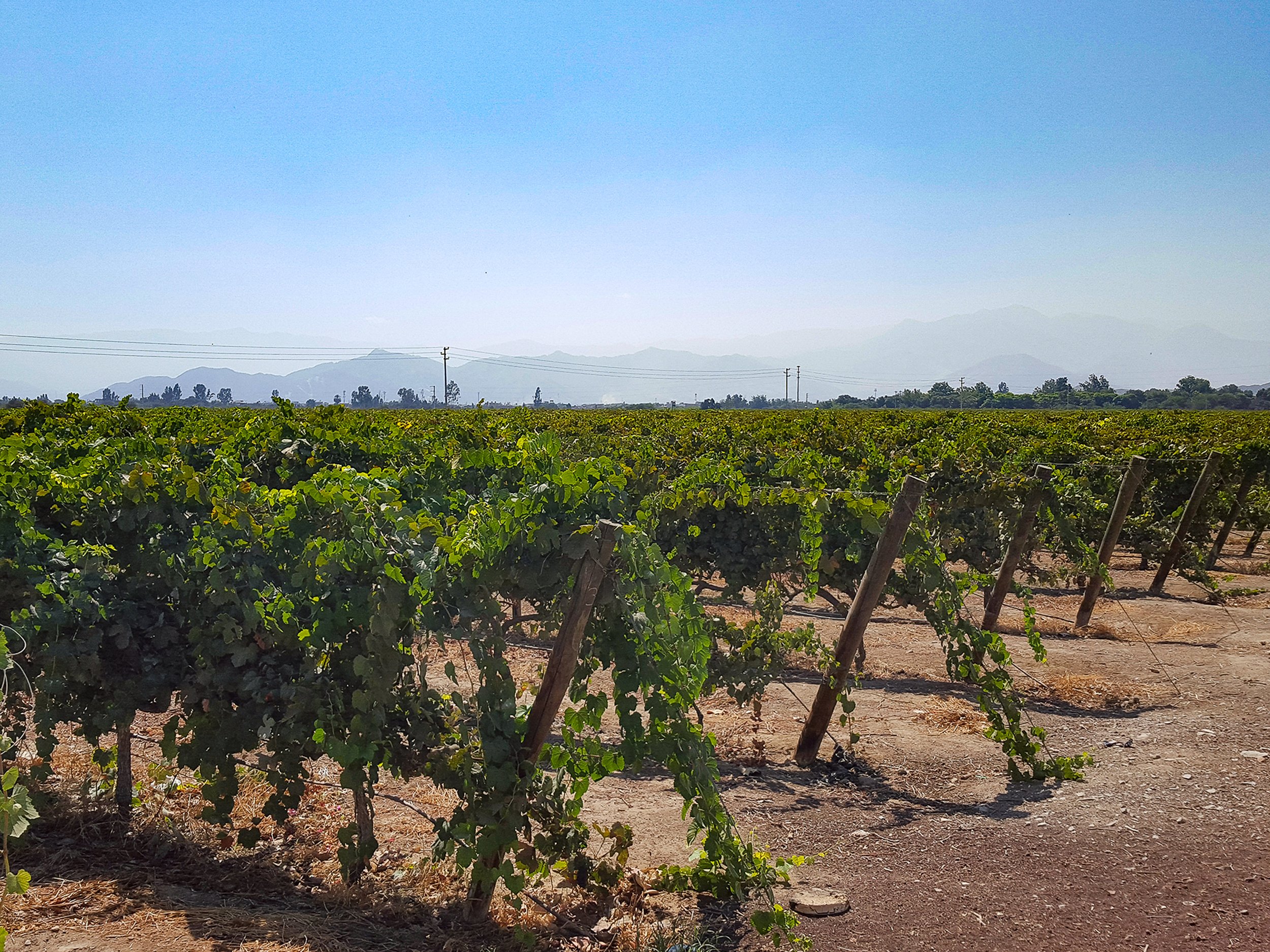
Though Peru is not widely known for its wines, many incredible vintages come out of the country’s Ica Valley. During our 3 week in Peru, we sampled multiple wines, piscos and visited a couple of vineyards
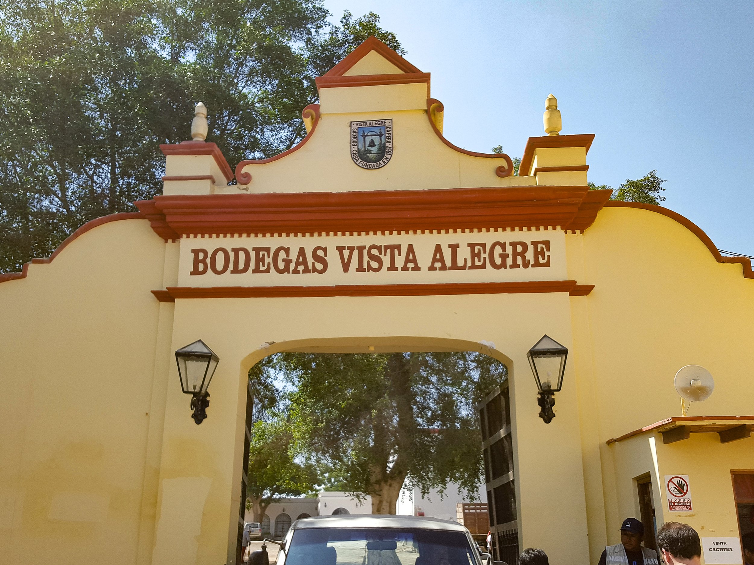
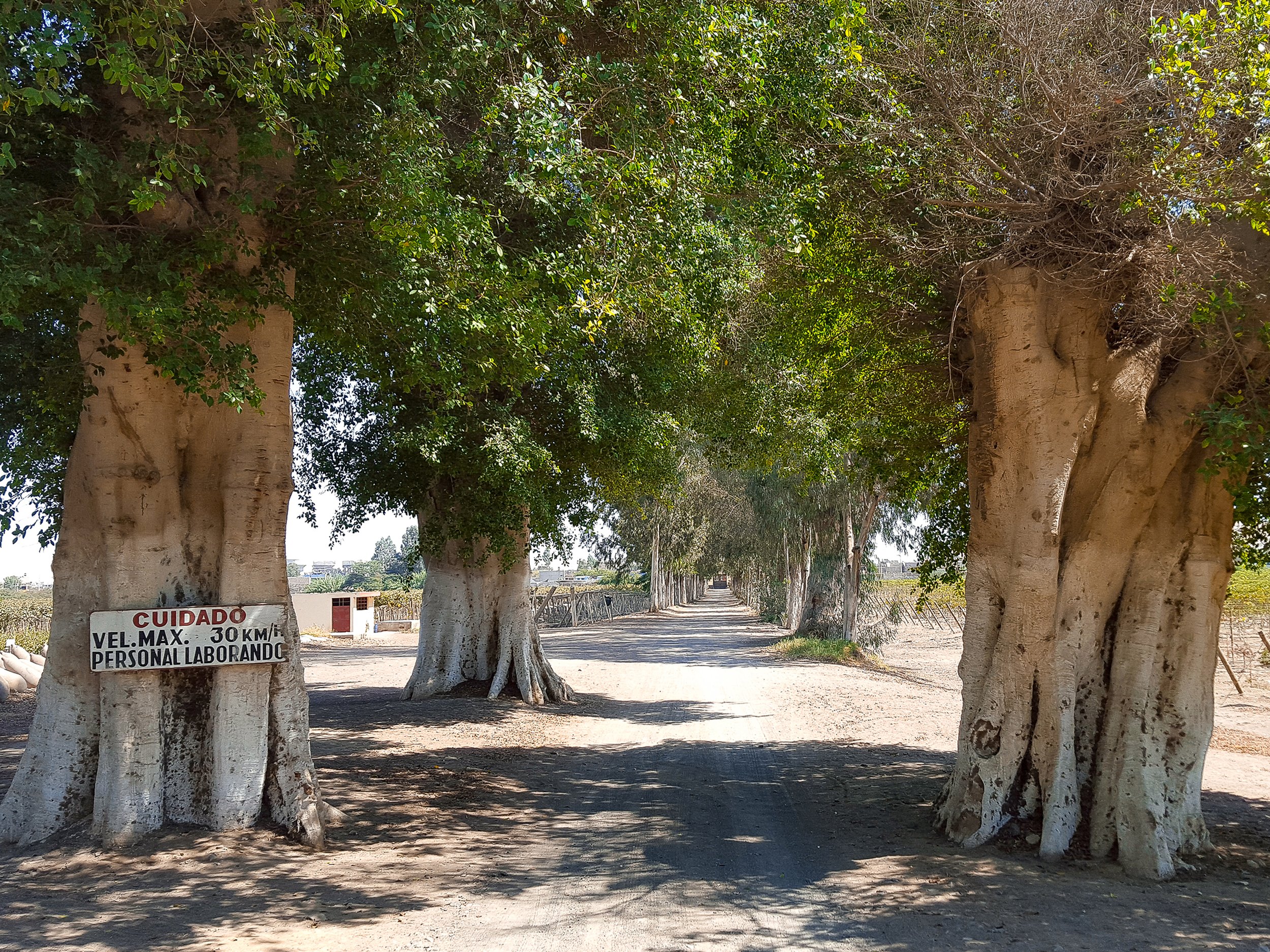
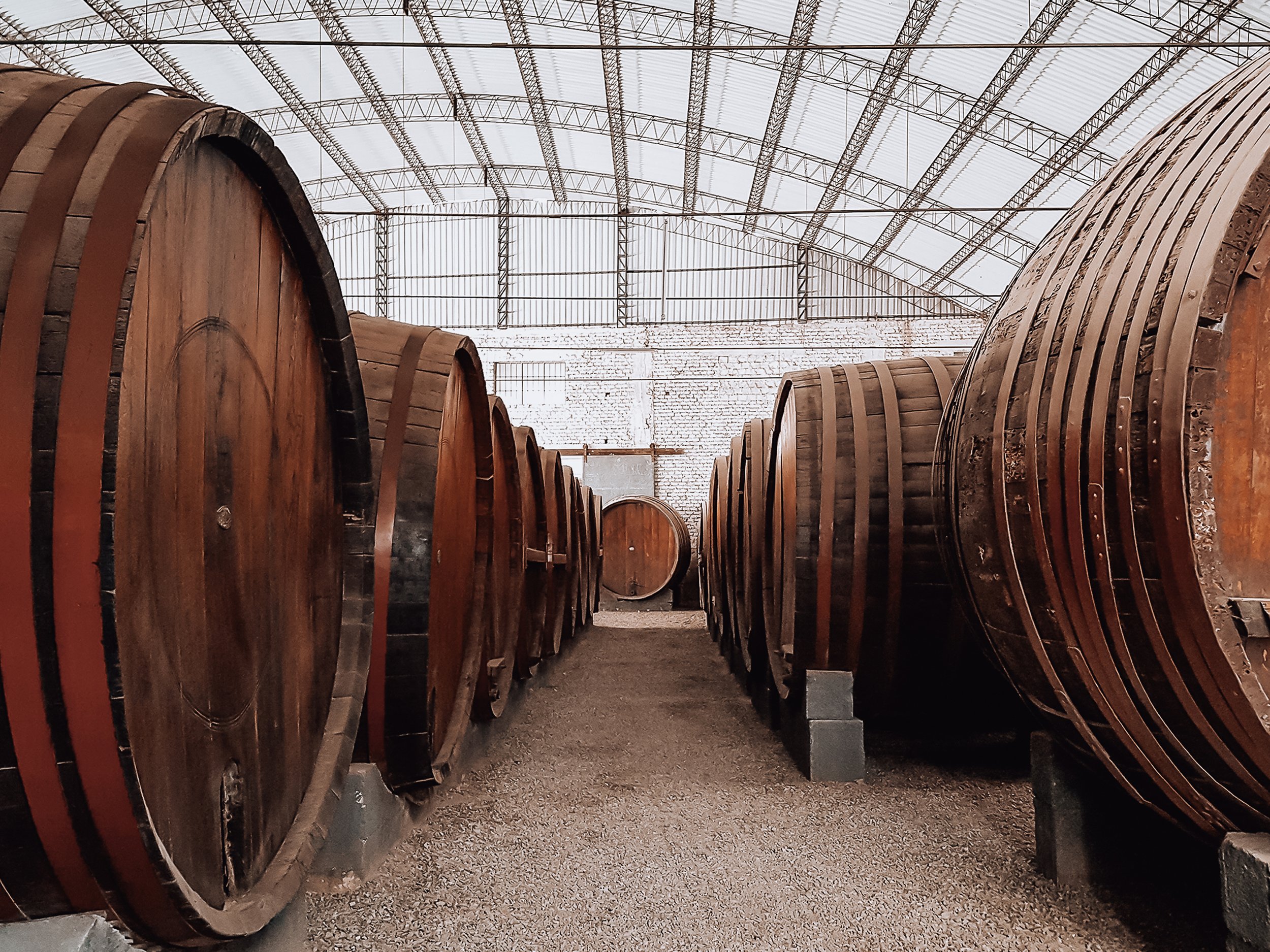
Bodegas Vista Alegre. One of Peru’s largest and oldest vineyards and Pisco distilleries. Rows of grape vines line the fields extending towards the edge of the Andes mountains range. We learned about how the grapes are harvested, toured the facilities where they are fermented, distilled and bottled before getting to enjoy some for ourselves.
Nietto Vineyard. A vineyard and Pisco distillery in Ica. We stopped here on the Peru Hop bus and sampled at least a dozen wines and Piscos before enjoying a lunch with our guide. The atmosphere made for a lively and memorable experience!
Vittoria Reserva Malbec, Valle de Ica, Peru. A flavorful, full bodied and dry red wine with rich fruity notes.
Intipalka Vino Cabernet Sauvignon Syrah Réserva, Valle de Sol, Peru. An easy drinking mid to full bodied and dry red wine.
Intipalka Reserva de Familie Malbec, Bakke de Ica, Peru. A flavorful, dry and full bodied red wine.
Tacama Gran Tinto Trea Cepas Malbec, Petit Verdot & Tannat. A popular mid bodied and dry Peruvian red wine sold across the country made from a blend of Malbec and Tennat.
Tacama Gran Blanco. A popular white wine sold across the country with a light body with a dry and stoney flavor.
Getting Around Ica
By Taxi. The best way to tour Ica is to hire a taxi driver for the day or afternoon. Many of them will bring you to various sights, recommend places to eat and wait for you while you explore. The cost will depend on how long you hire them for and what you negotiate. In our instance, we hired a taxi for 4 hours and it cost $30.
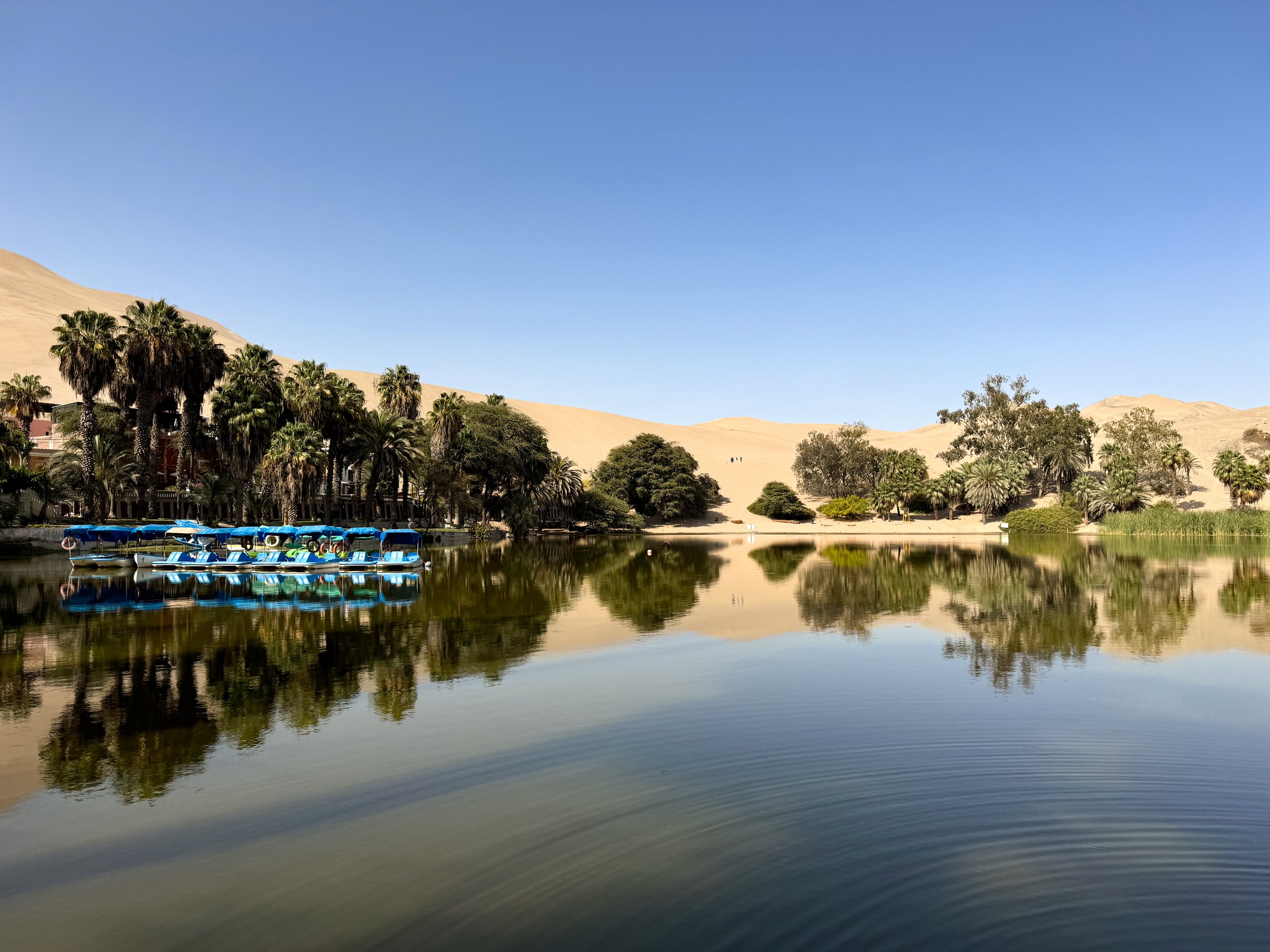
Huacachina
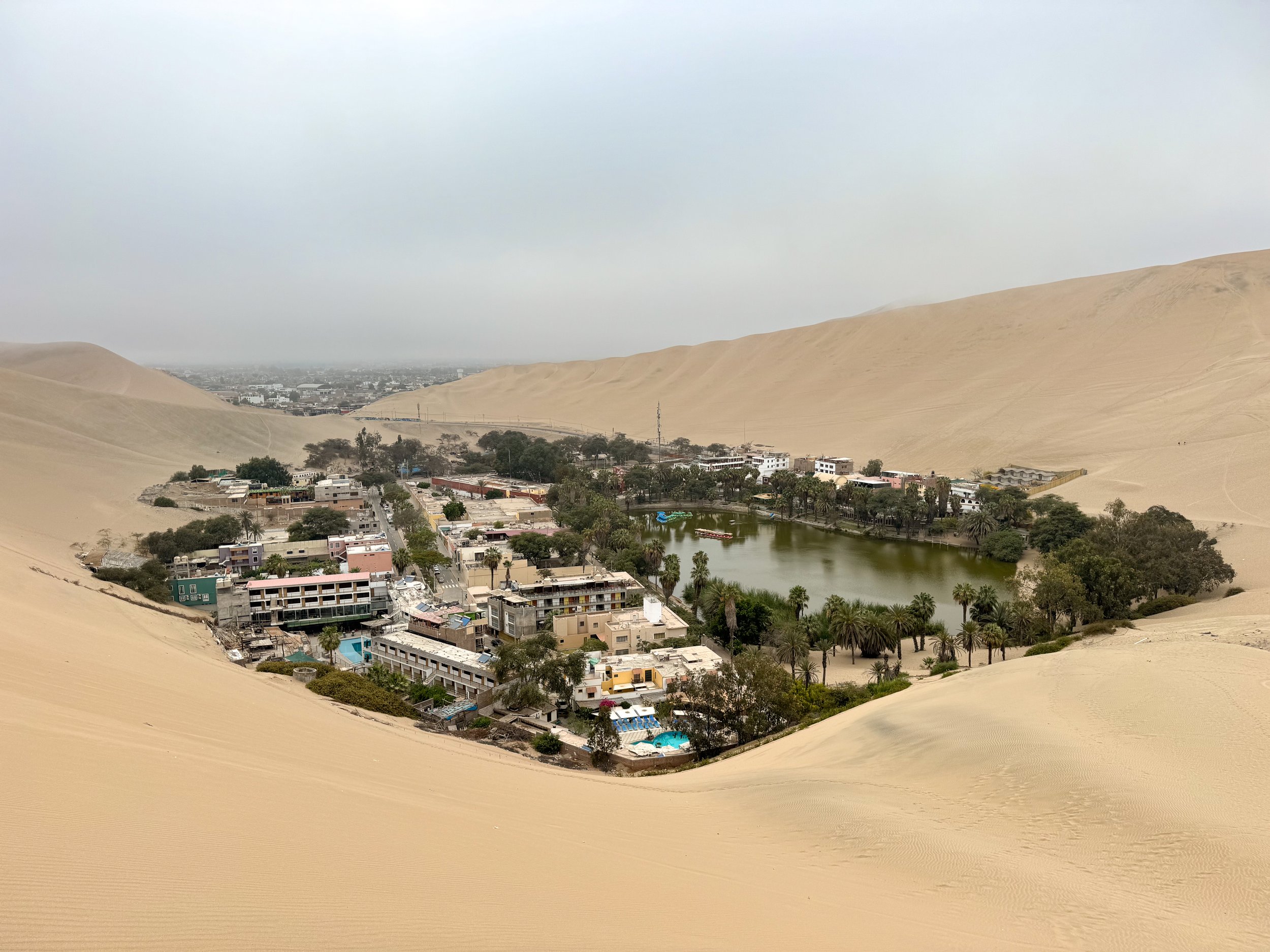
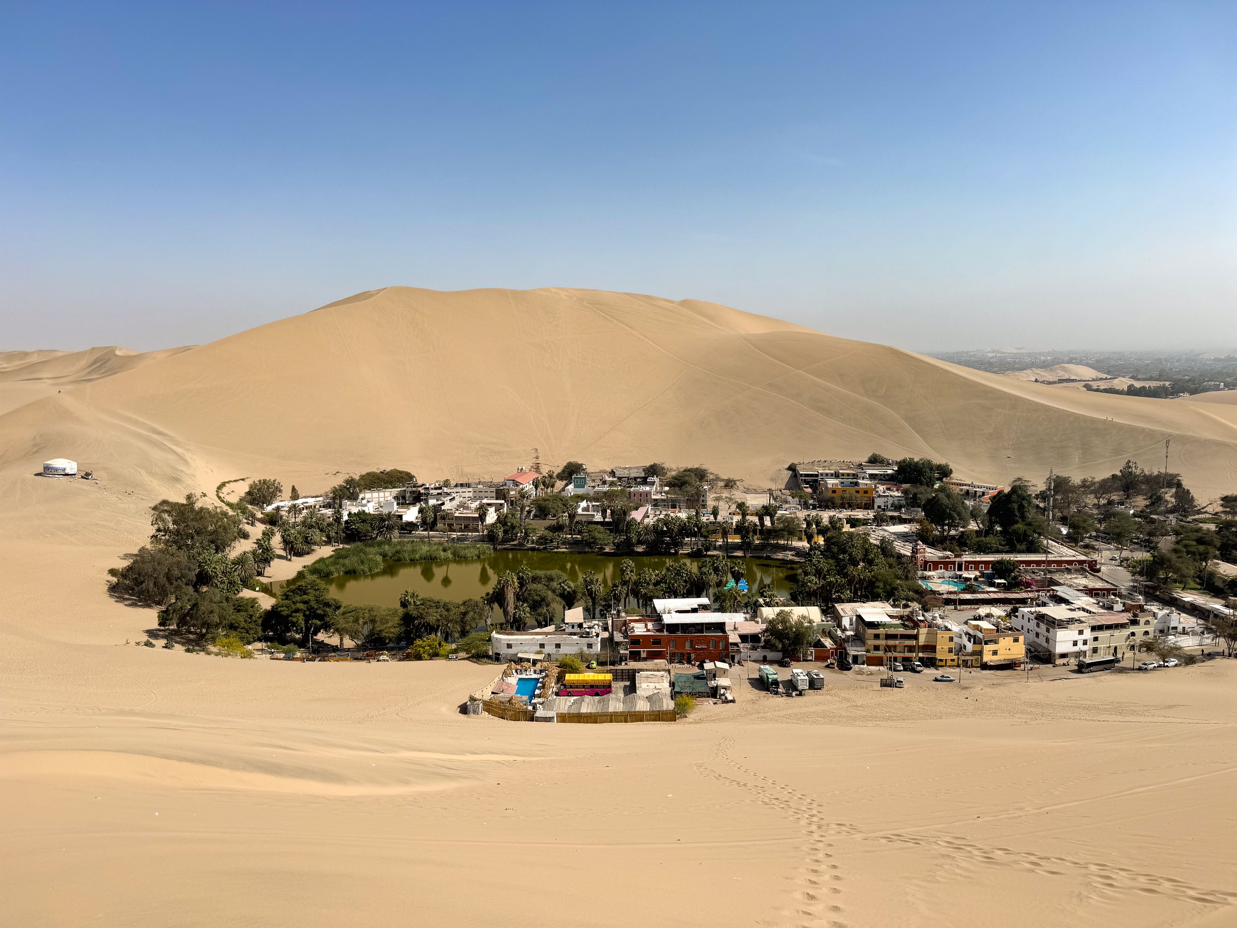
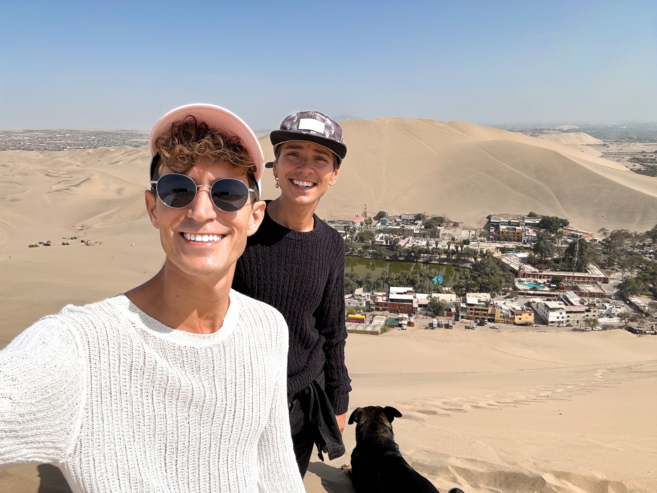
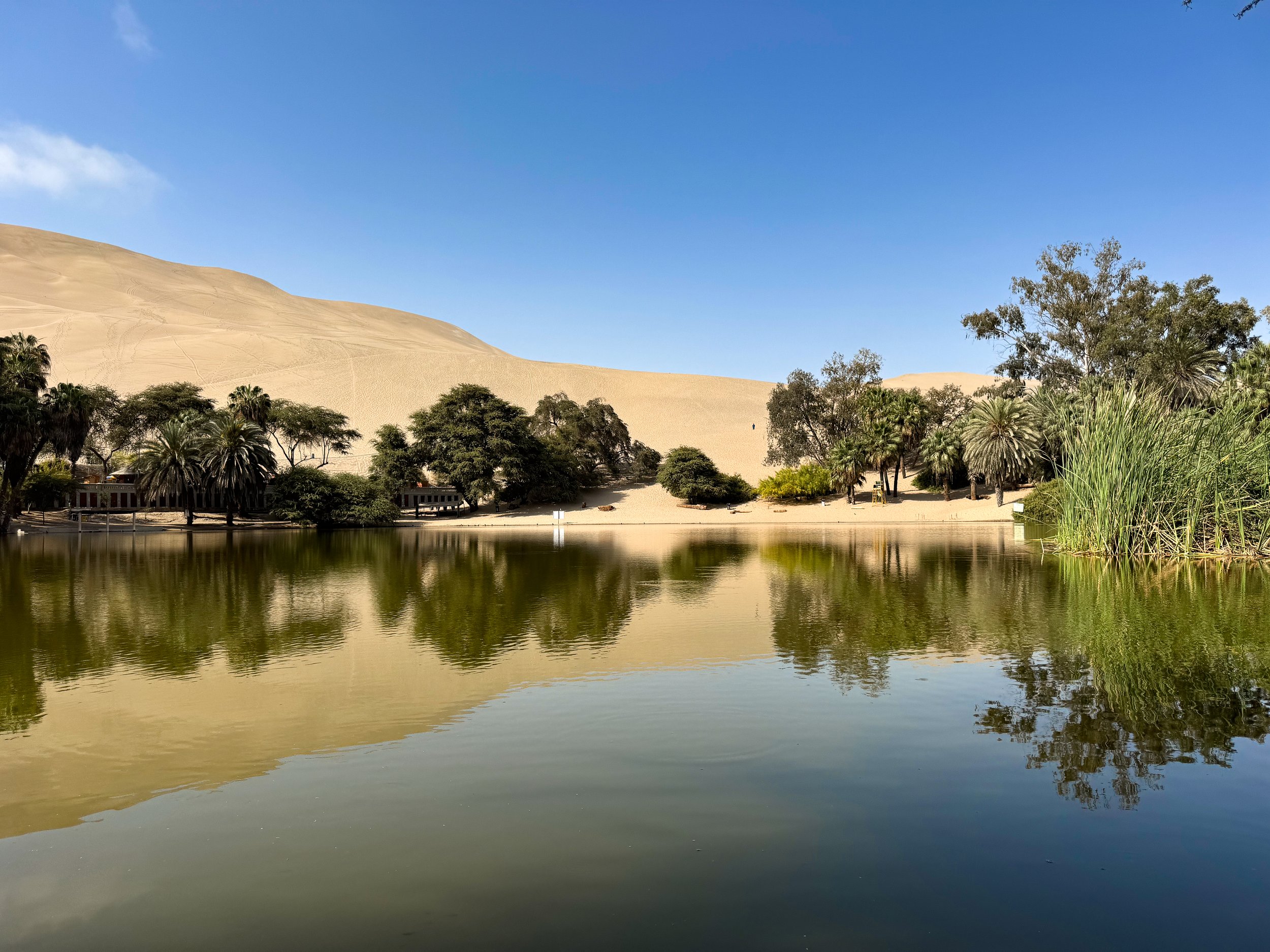
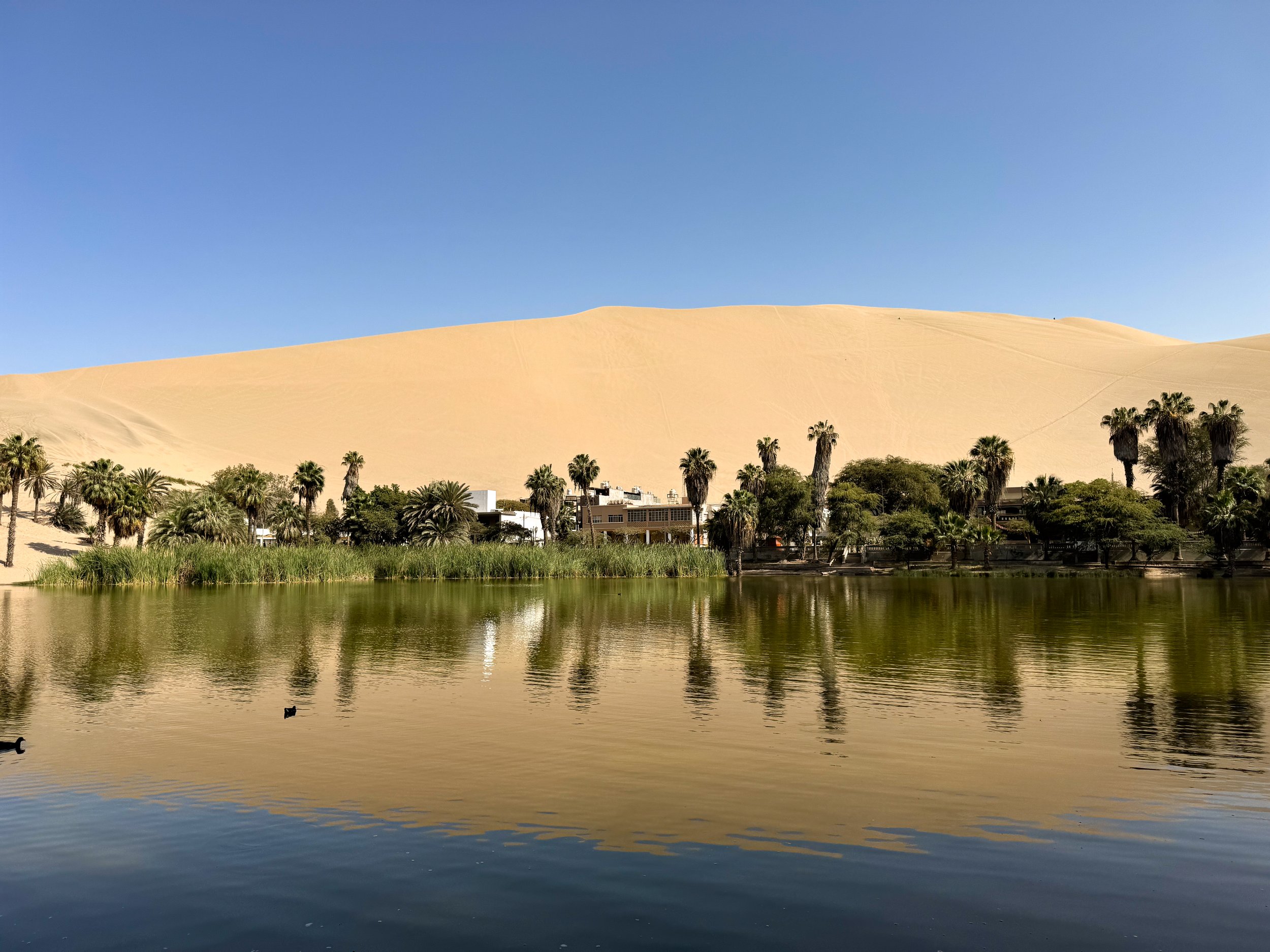
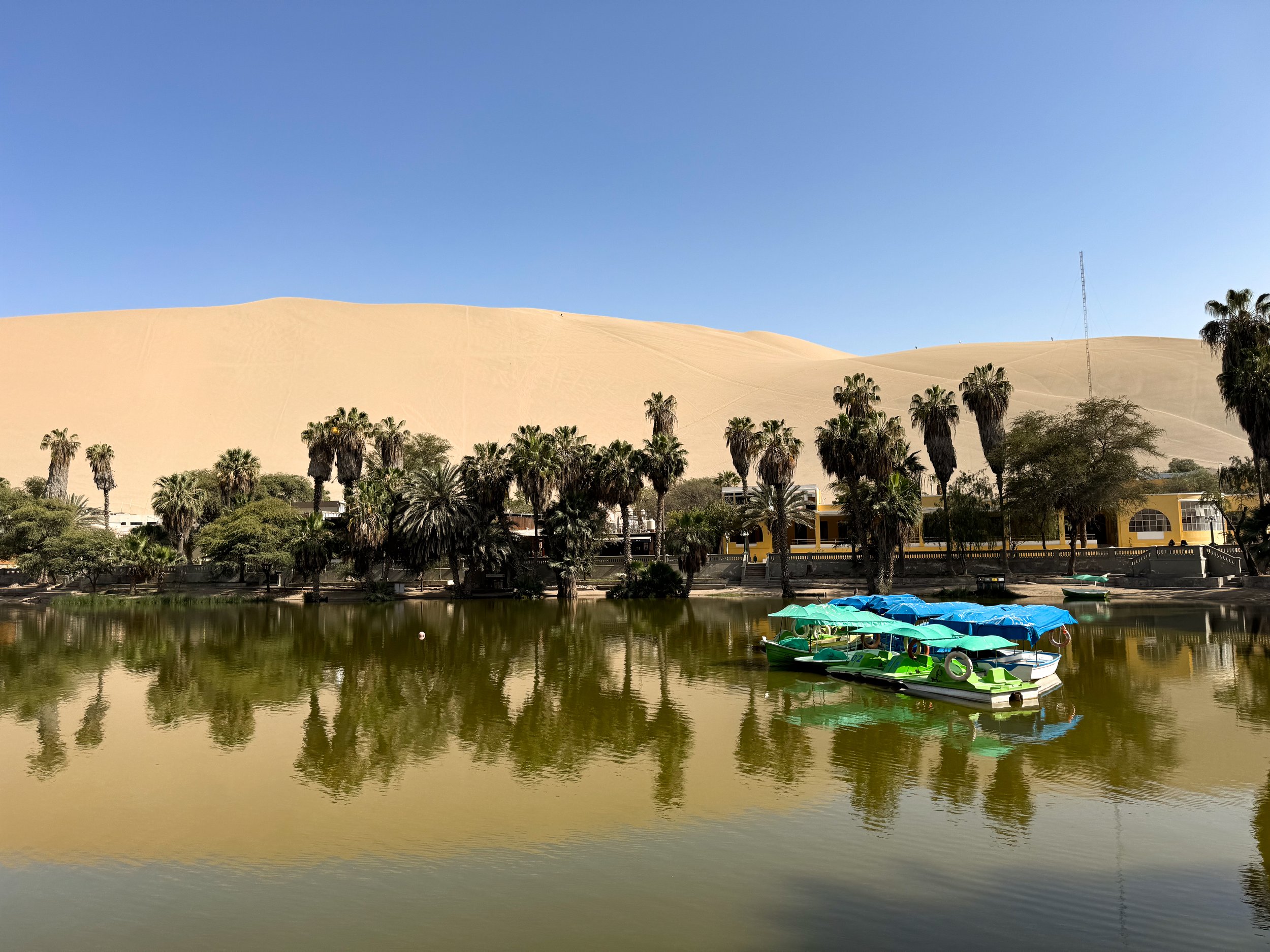
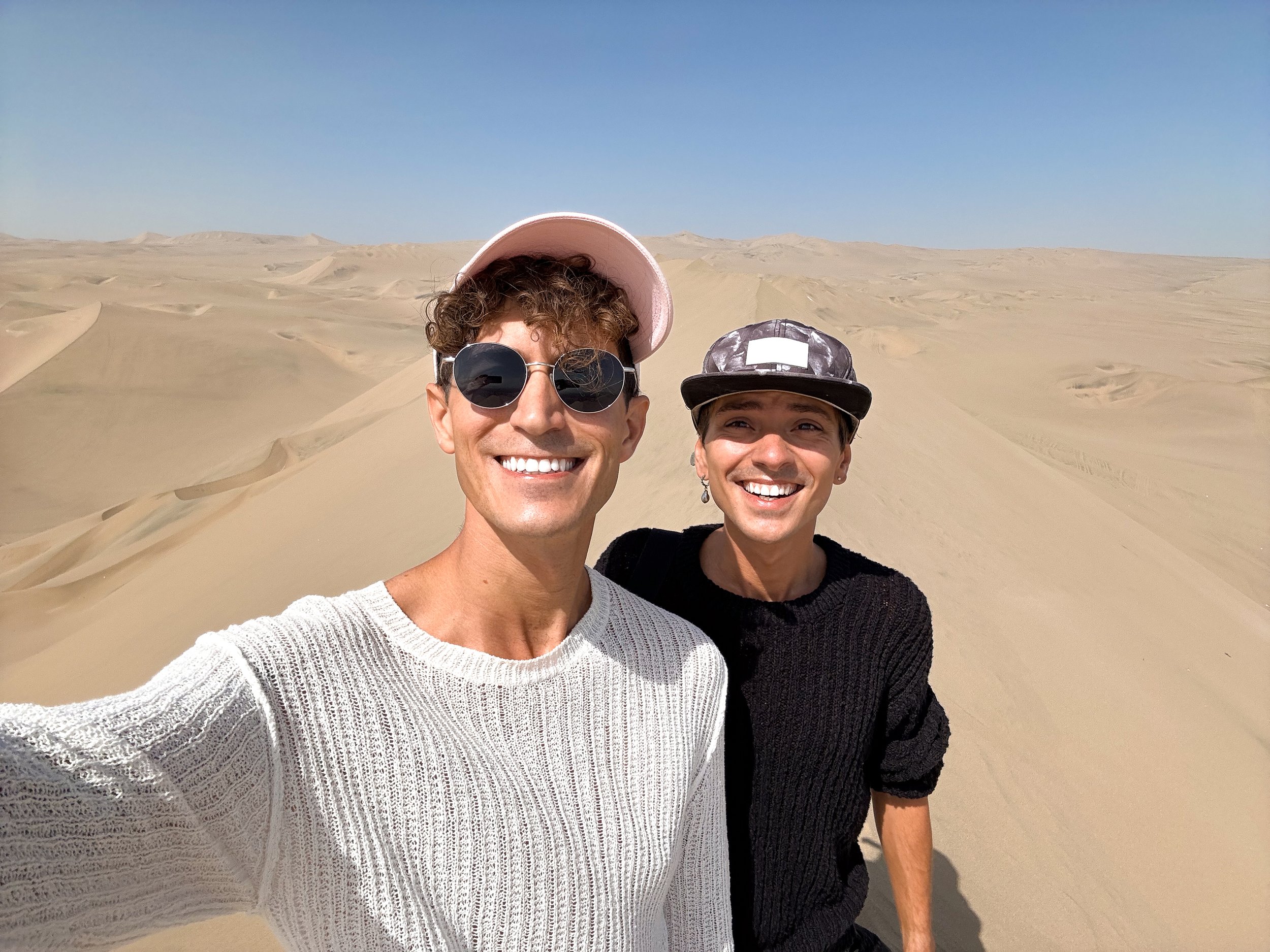
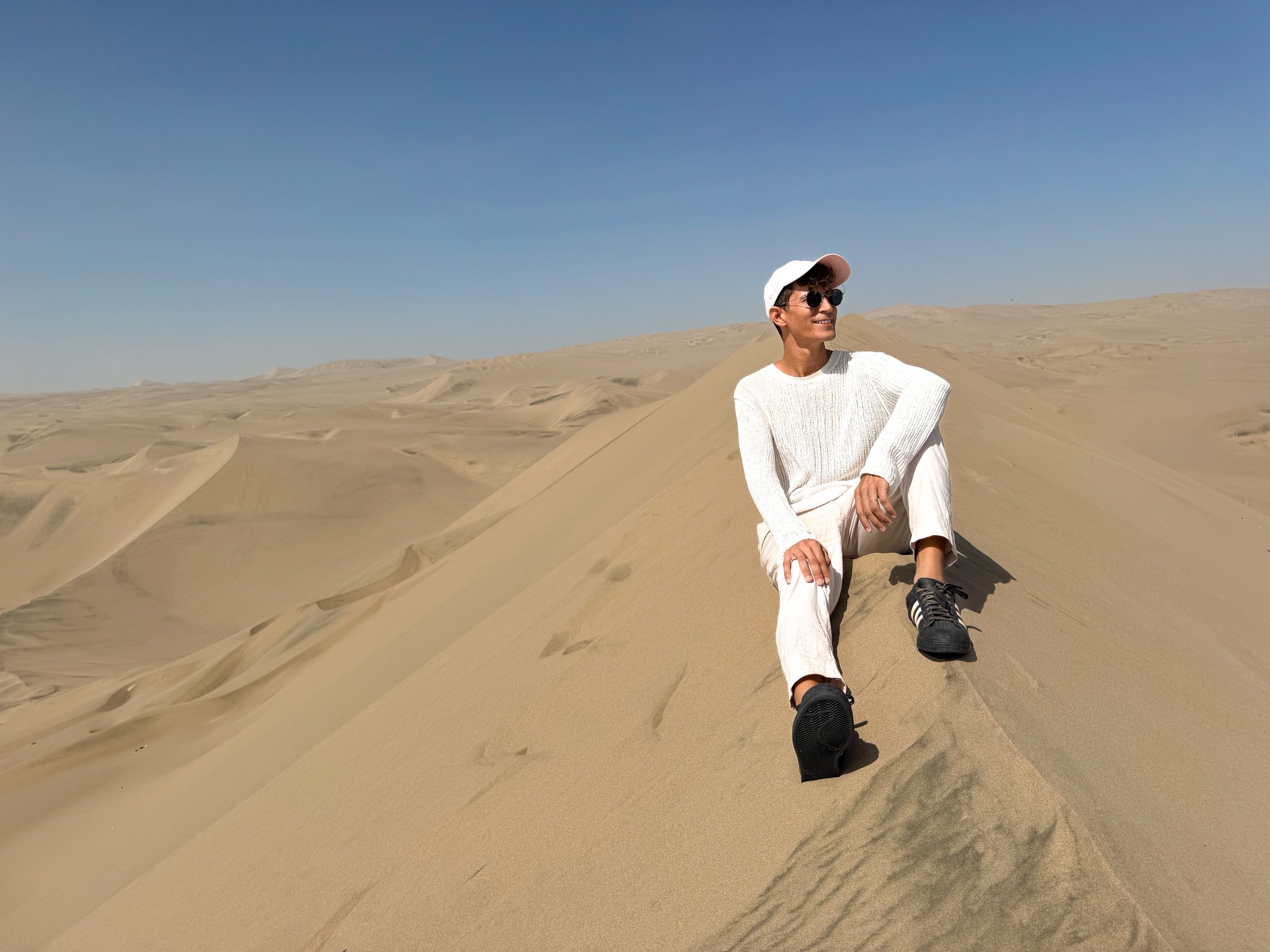
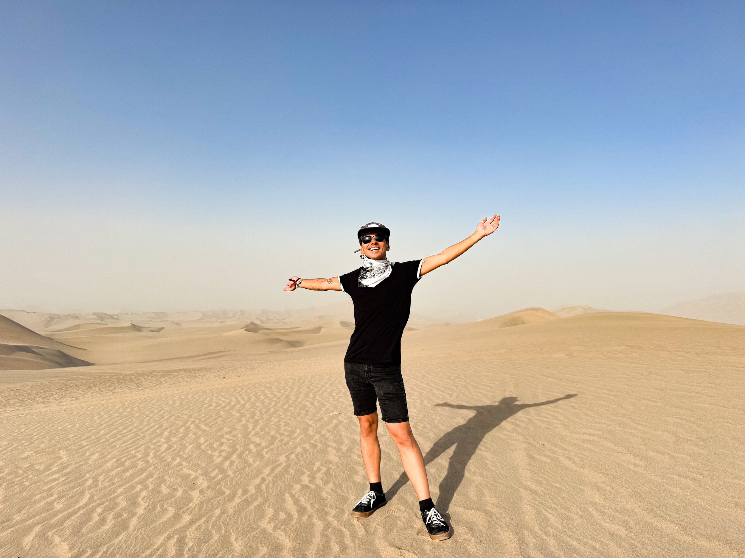
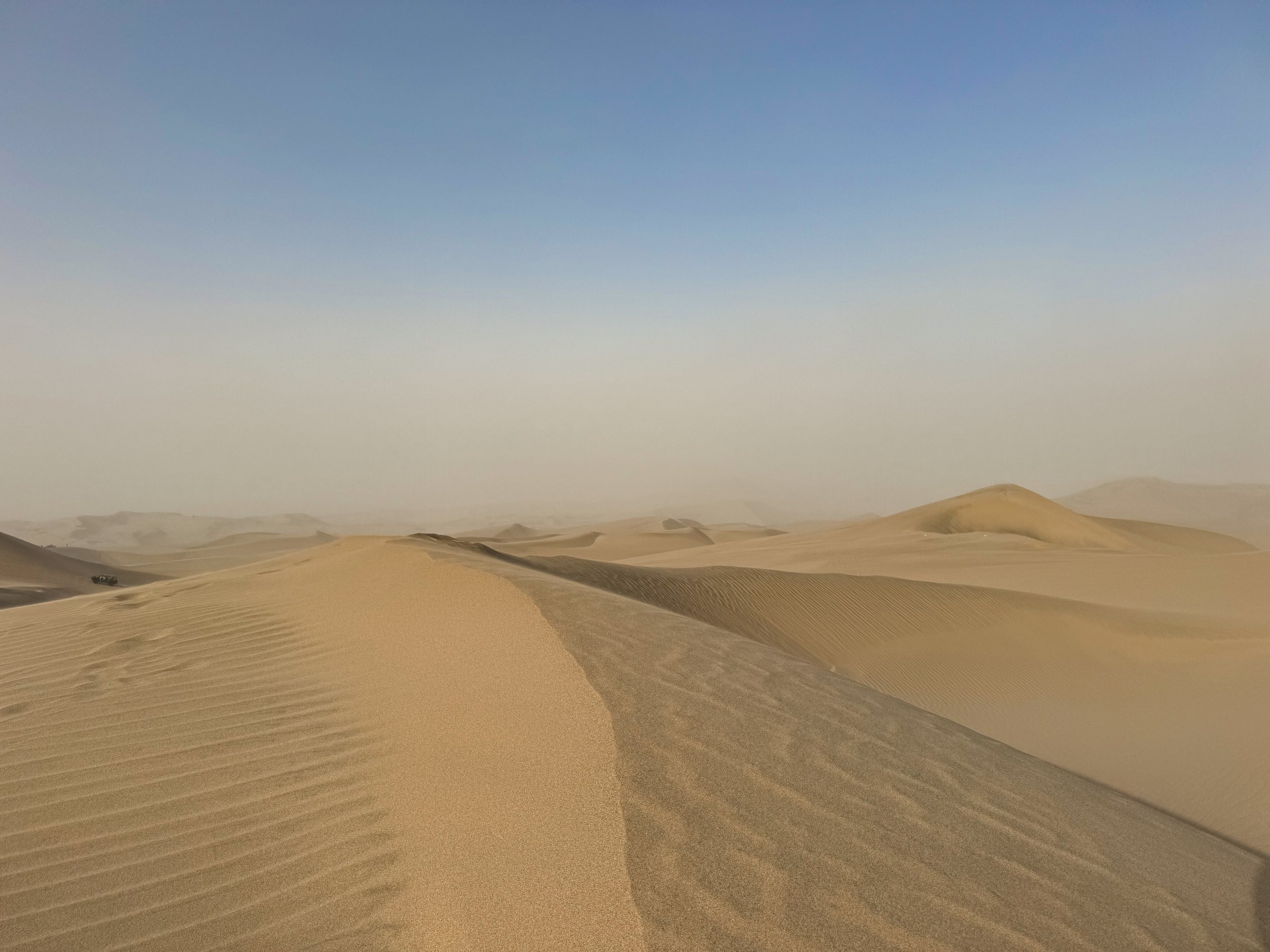
The Desert Oasis. Huacachina is a picturesque desert oasis hidden between monstrous sand dunes home to a tiny lake surrounded by palm trees, hostels, restaurants and bars. The town is popular with backpackers and desert activities like dune buggy rides & sand boarding.
Sights
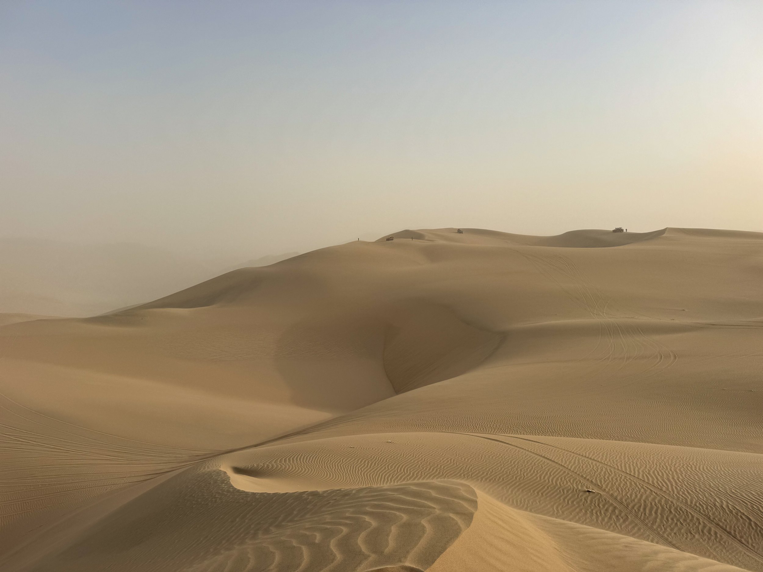
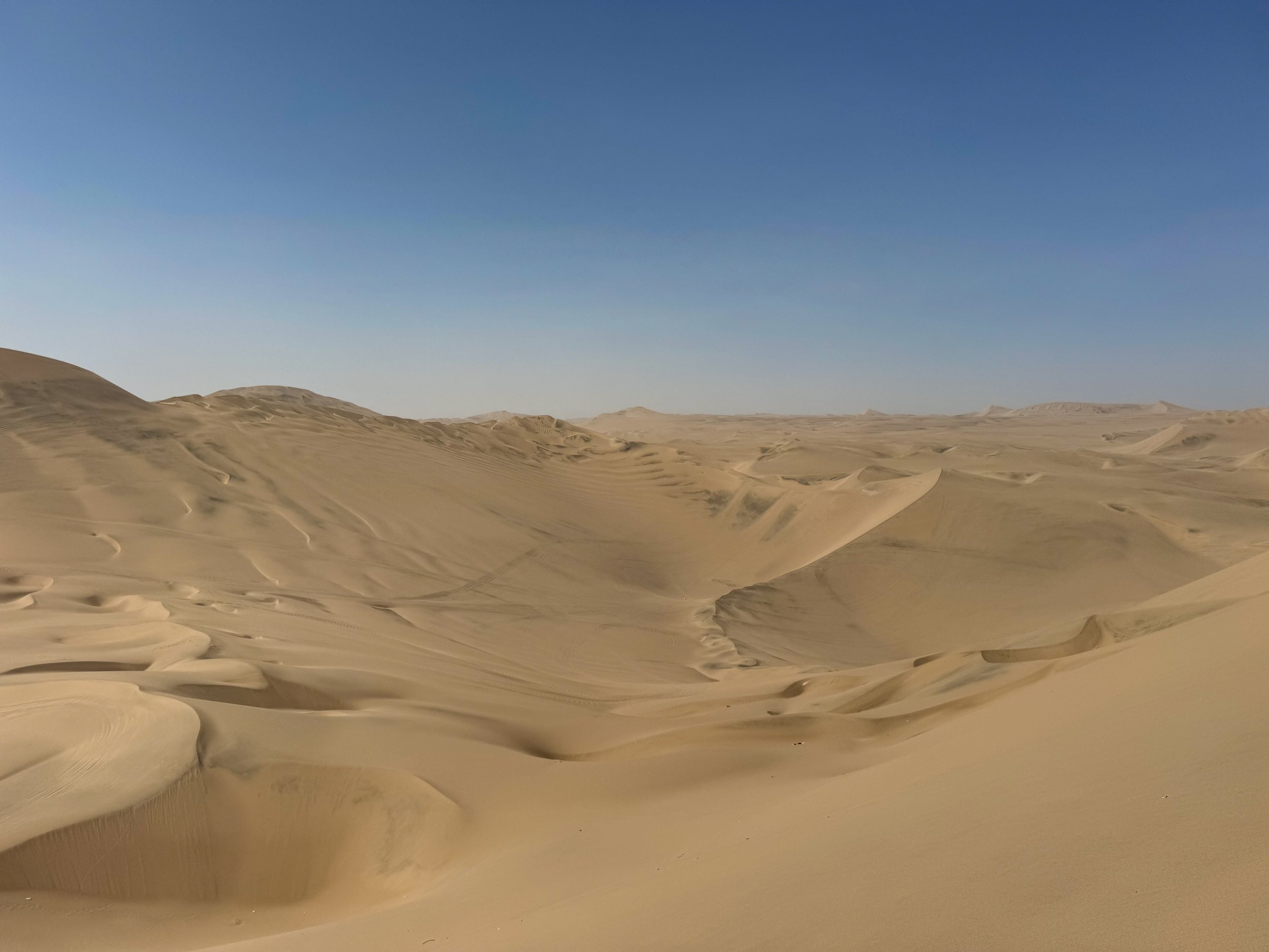
Huacachina Dunes. We woke up early and climbed both dunes surrounding the oasis. From the top of the first crest, we ate breakfast with the company of a doggie that followed us up. On the second dune, the morning fog had cleared, revealing a clear blue sky above the beautiful oasis and the vast desert dunes rippling far across the horizon.
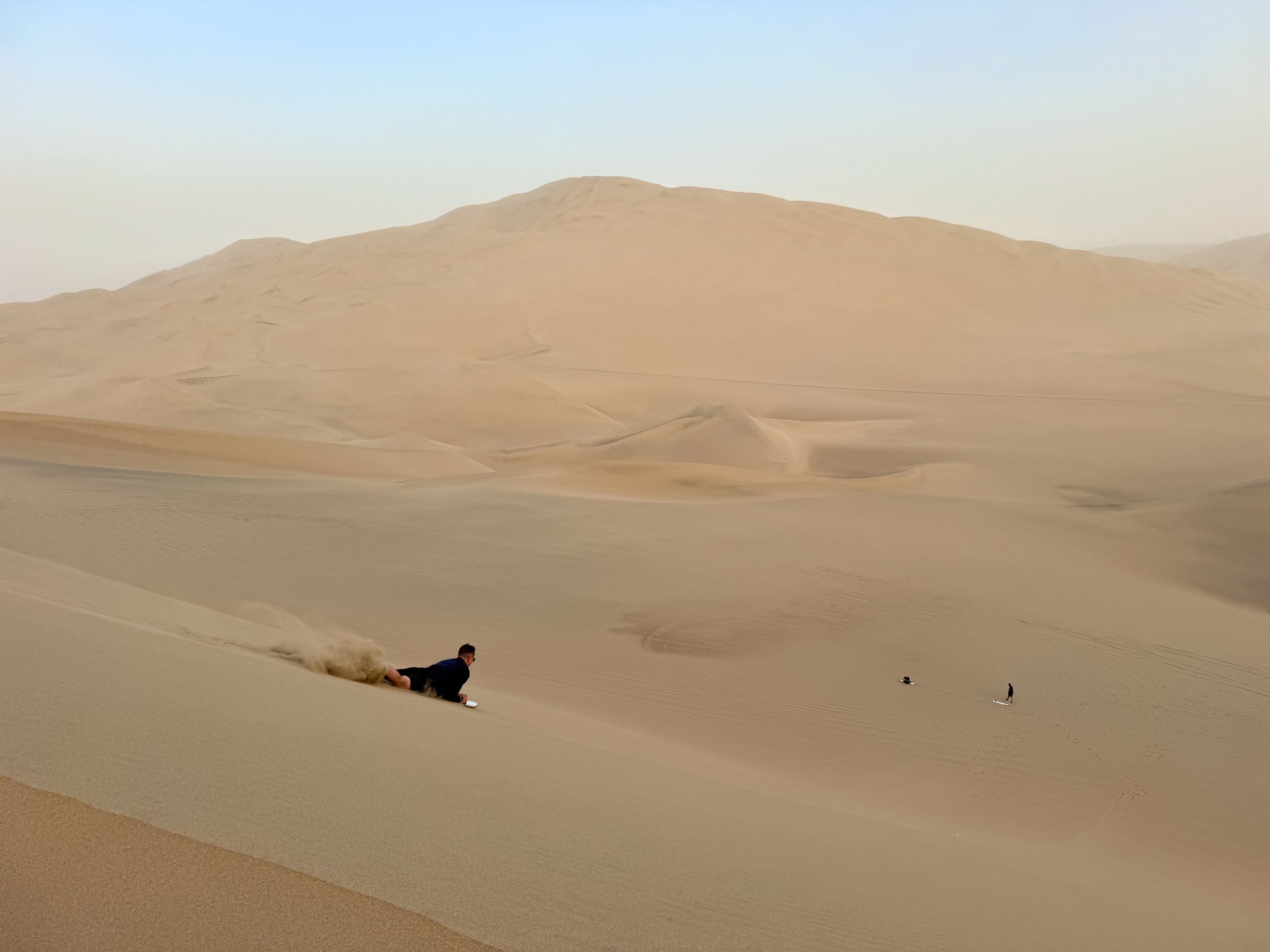
Dune Rides & Sand Boarding. We boarded a small dune buggy that rode into the desert for an exhilarating and heart dropping roller coaster ride through the dunes, drifting sideways across the sand and down step dunes at high speeds. We stopped at multiple places for photos, sand boarding and the sunset. There were three dunes to sled, sand-board or ski down, each increasing in length and speed.
Where to Eat, Drink & Sleep
Viajero Hostel Huacachina. With its inviting atmosphere and well ran experience, Viajero is one the best hostel we’ve stayed at! It has a large courtyard with a restaurant, bar, pool and numerous style lounge areas surrounded by multiple buildings home to dorms and private rooms. They offer nightly events to meet other guests and keep entertained including karaoke and dancing. Book here!
Vittoly Cafe. A small cafe with breakfast dishes, to go empanadas and cookies. It’s a quick spot to stop on the way into our out of town for a bite to eat and refreshment.
Huaca-Fucking-China. An iconic restaurant and bar in Huacachina known for its name, Peruvian dishes and cocktails. Come here for a drink and meal overlooking the lake.
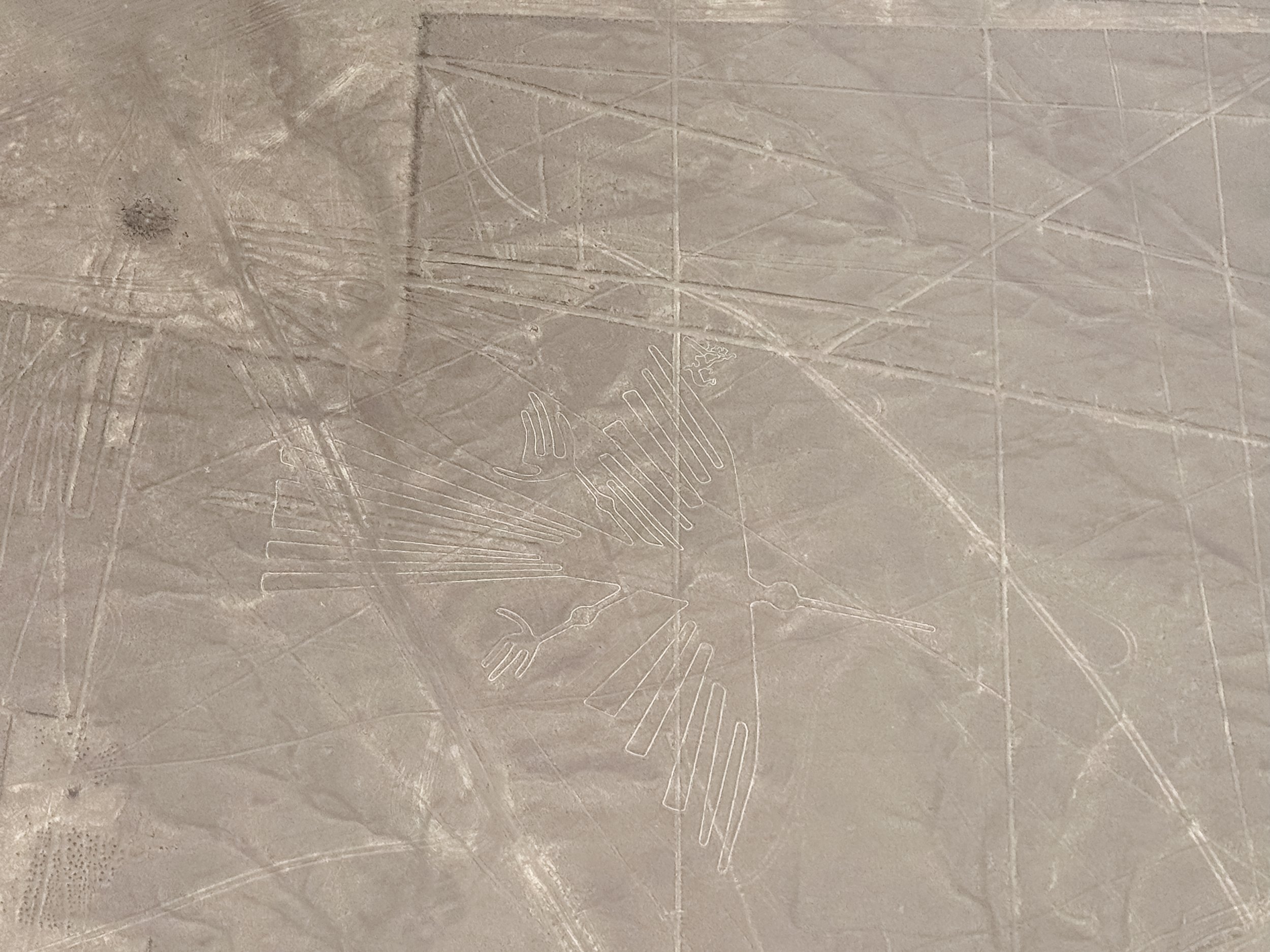
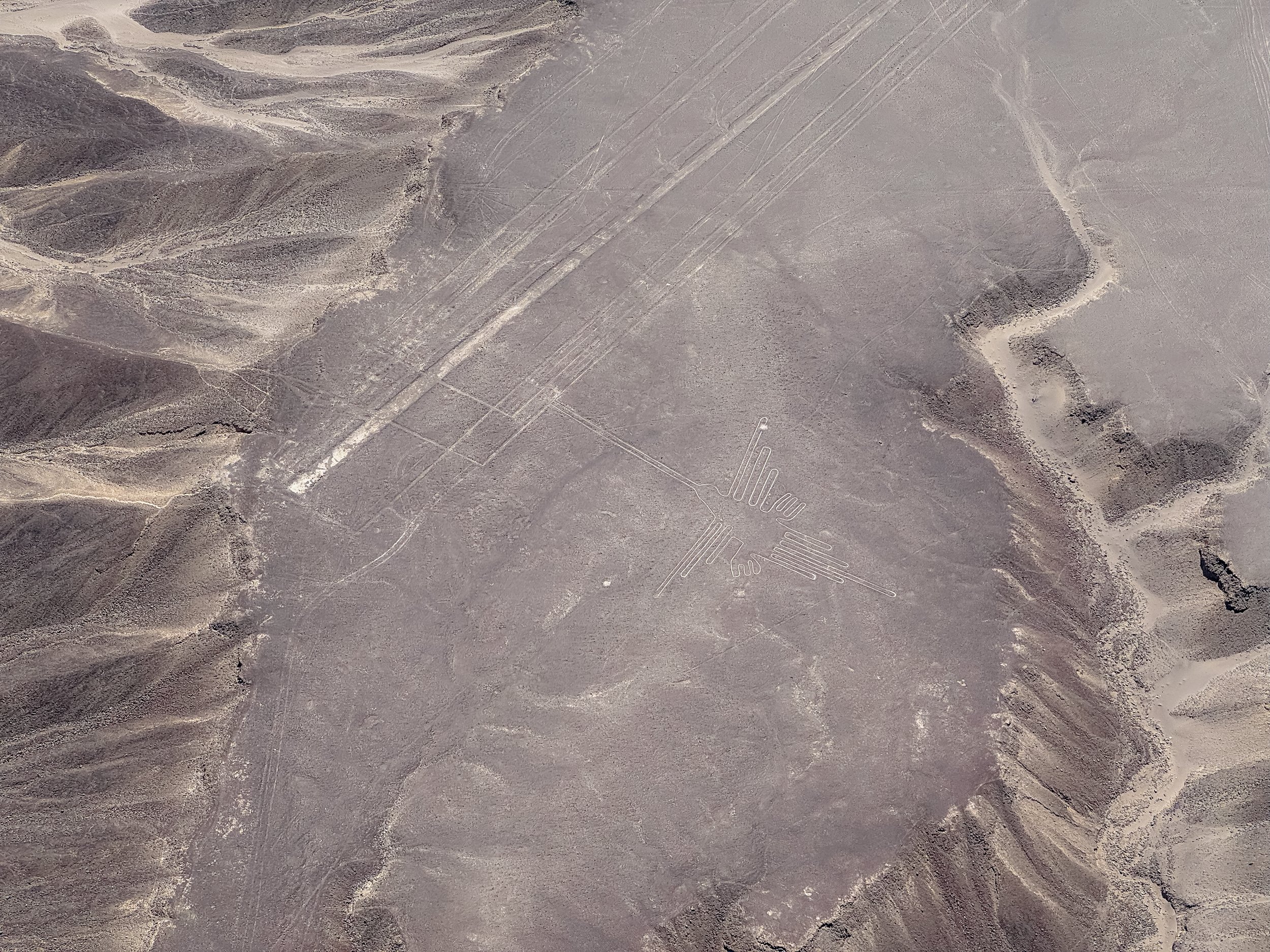
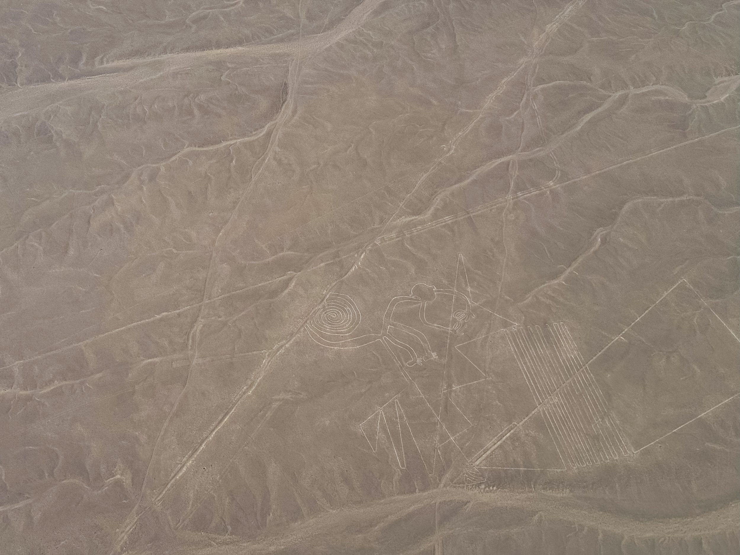
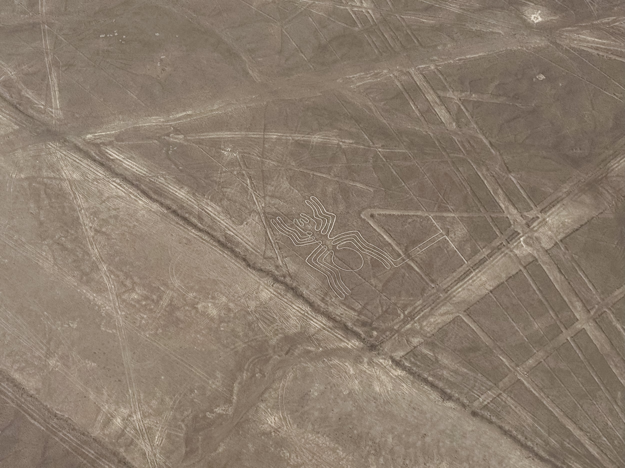
Nasca
Nasca is a Peruvian desert city famed for the archeological ruins and remains of the Nazca civilization including the Nasca Lines, ancient aqueducts and cemeteries with mummified remains.
The Nasca Lines
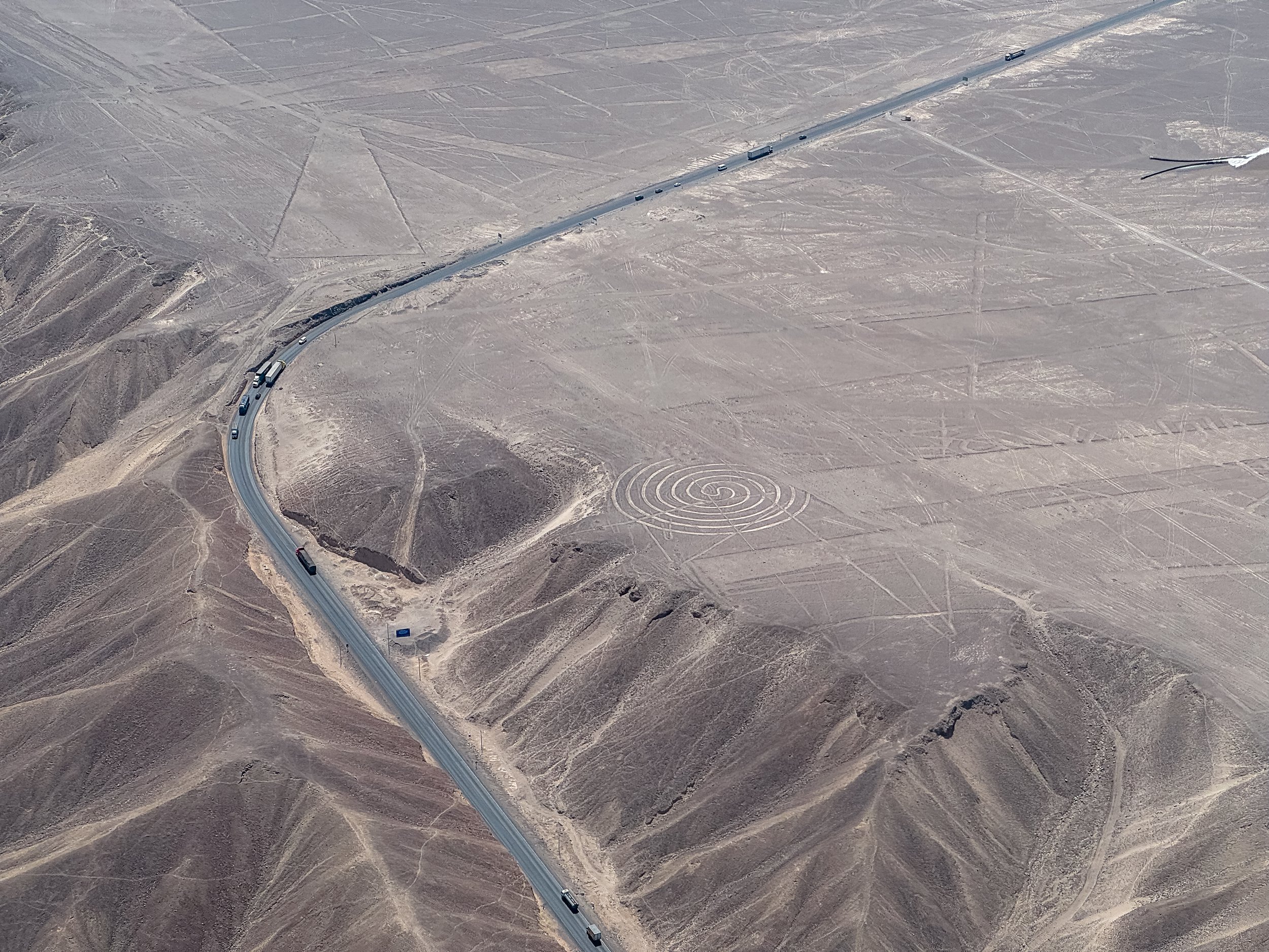
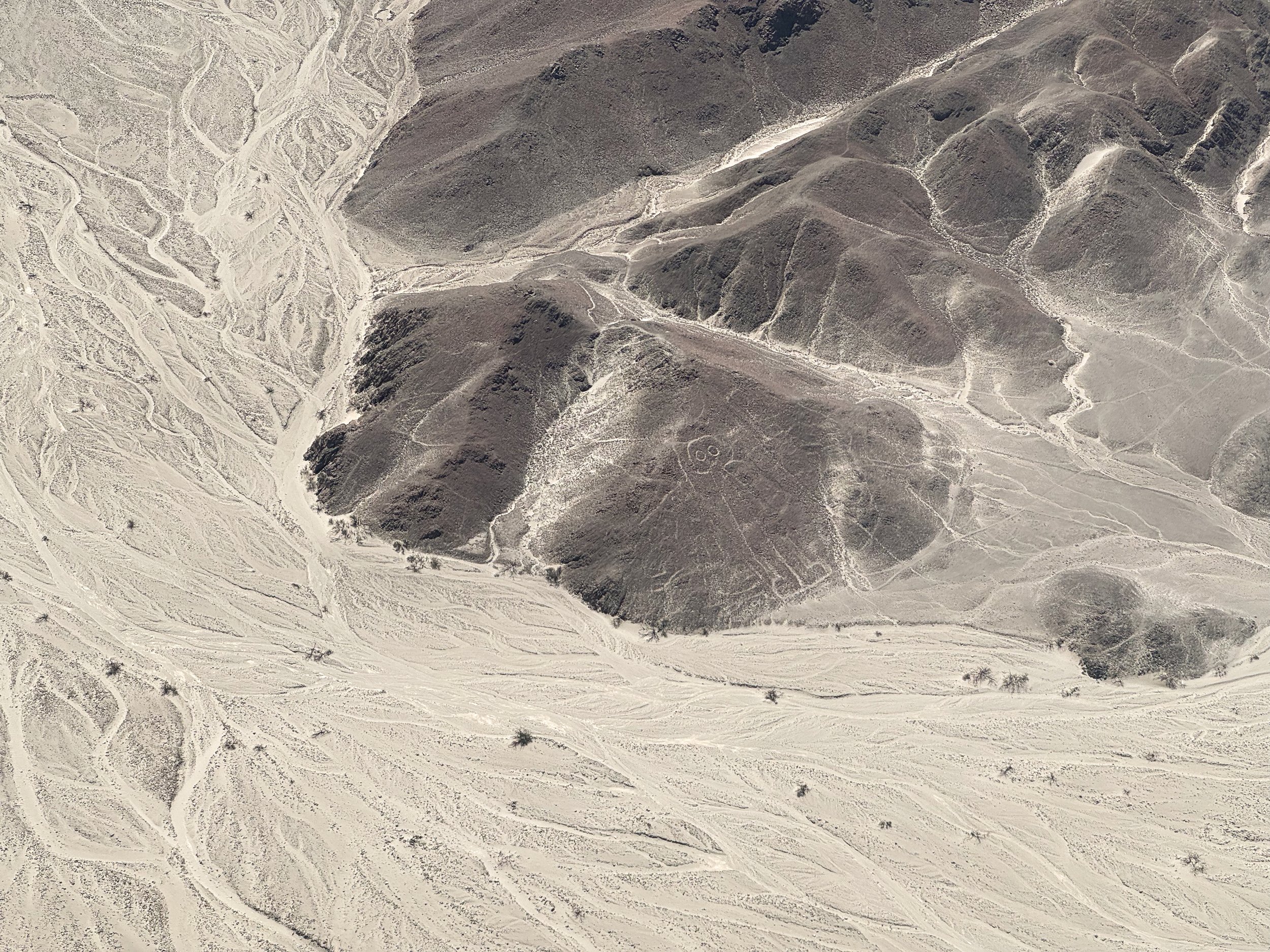
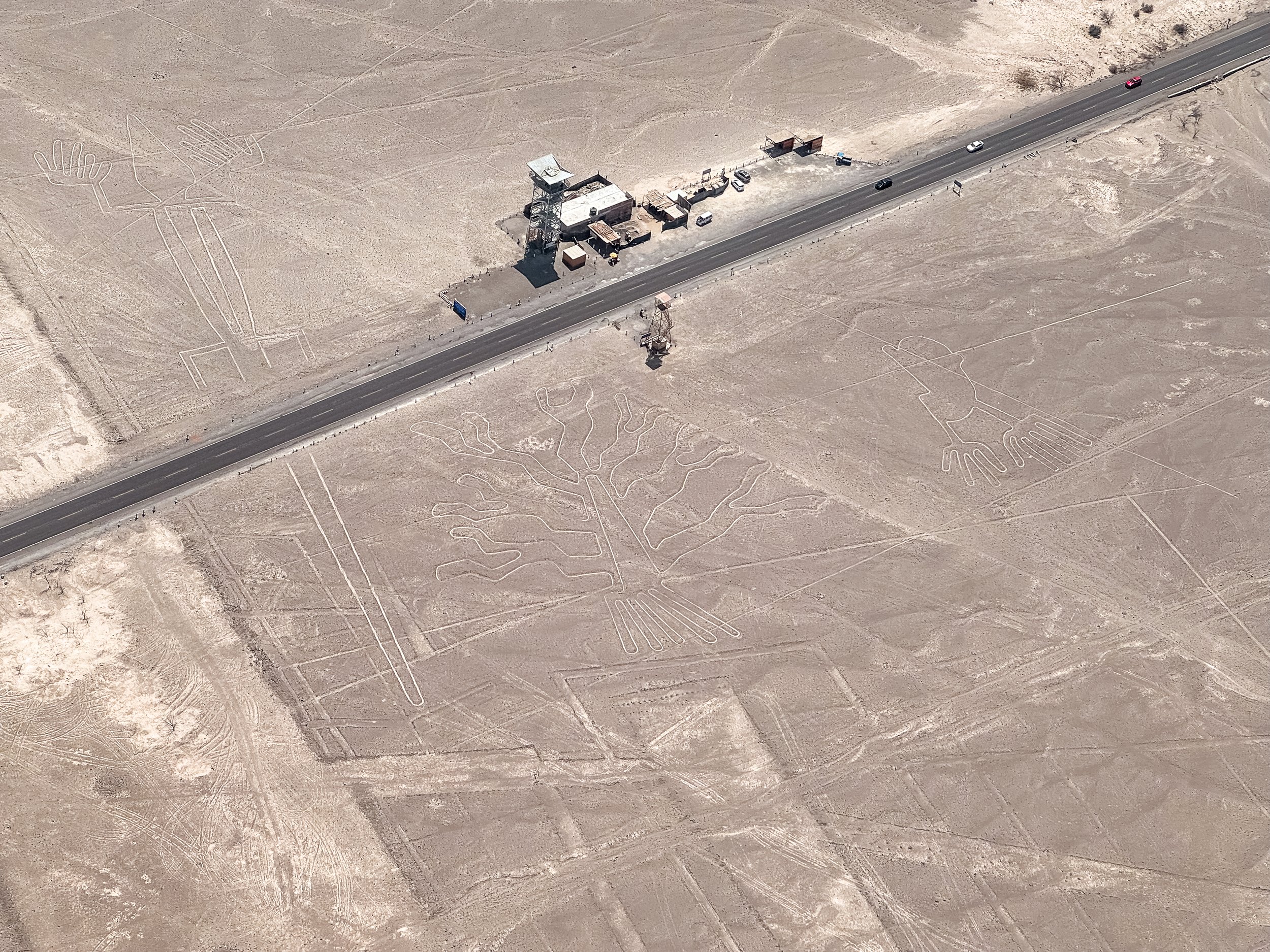
The Nasca Lines are some of the most significant archeological sights in Peru. Carved into the desert landscape by the Nasca people, the ancient geoglyphs depict animals, trees, people and mysterious shapes, some stretching hundreds of meters across. The lines can be observed from an observation tower or by flying above them.
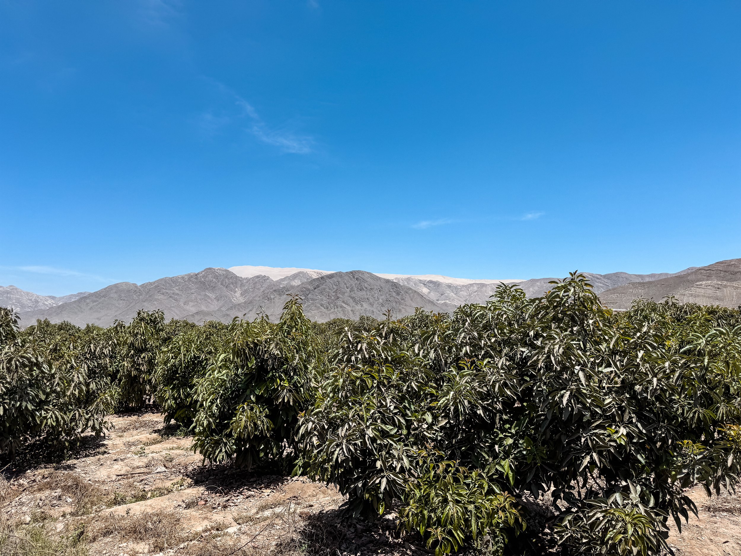
Nasca Lines Flight. We took a flight over the Nasca Desert to view the Nasca Lines. During the flight, we flew over and circled many the remarkable geo-glyphs including the most iconic like the spider, hummingbird, condor and monkey. In addition, we took in views of the desert landscape, farms and vineyards, foot hills of the Andes mountains and world’s largest sand dune in the distance.
It is the best way to view a majority of the Nasca Lines though not the cheapest. The flight lasted about 30 minutes, costing $120 USD and 77 Sols in airport fees per person. The pilot circled about a dozen lines from both sides of the small plane as the co-pilot narrated. All 6 passengers, including us, had an equal opportunity to view most of the lines.
Nasca Tower. A roadside tower, about 4 stories tall, overlooking three of the Nasca Lines. One of a tree, hands and a salamander.
Sights
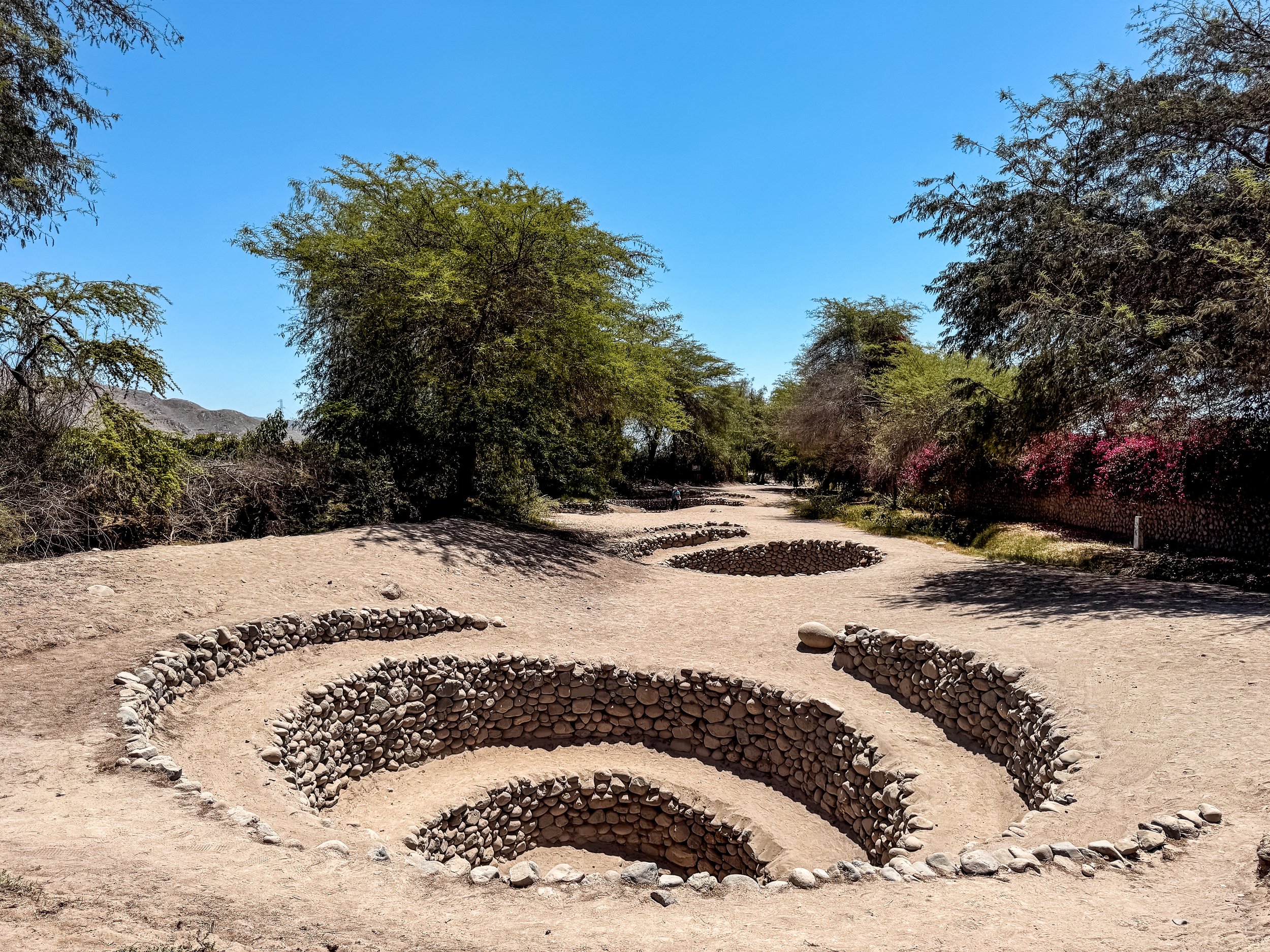
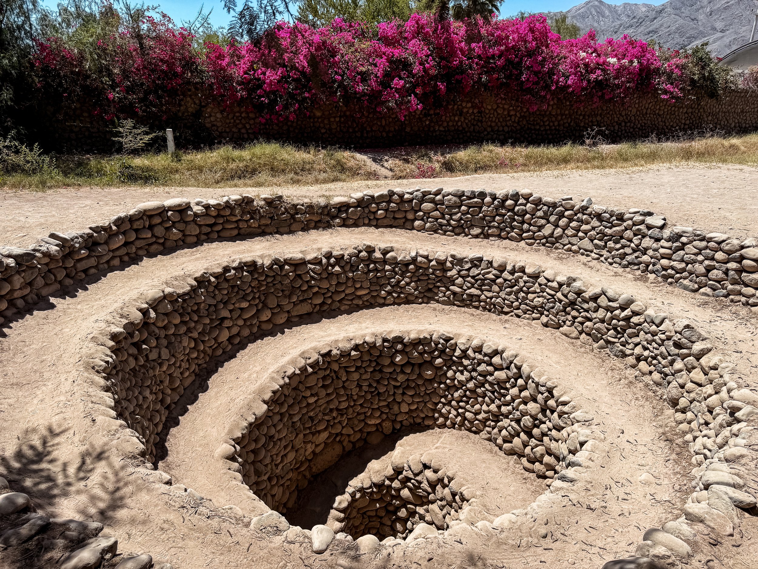
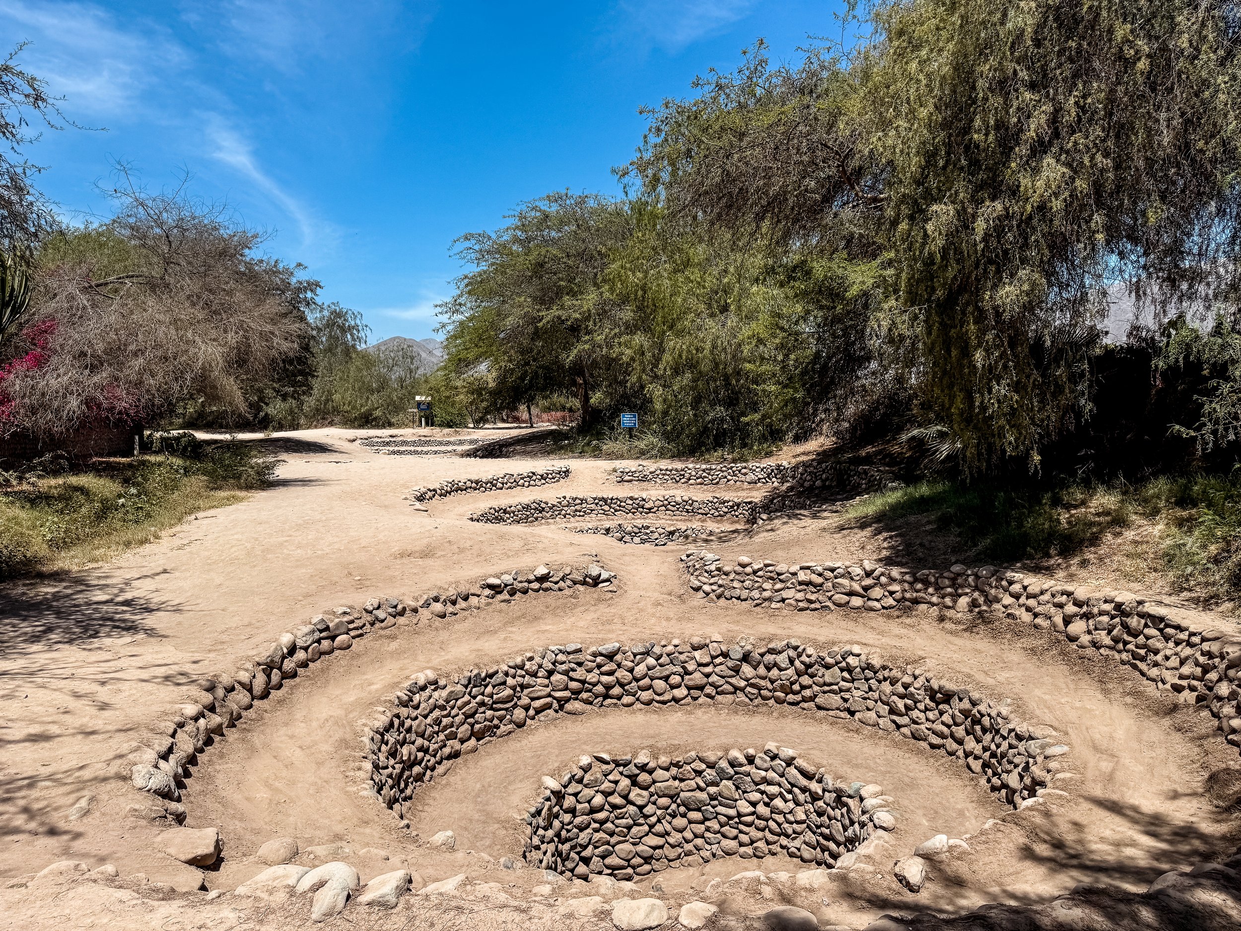
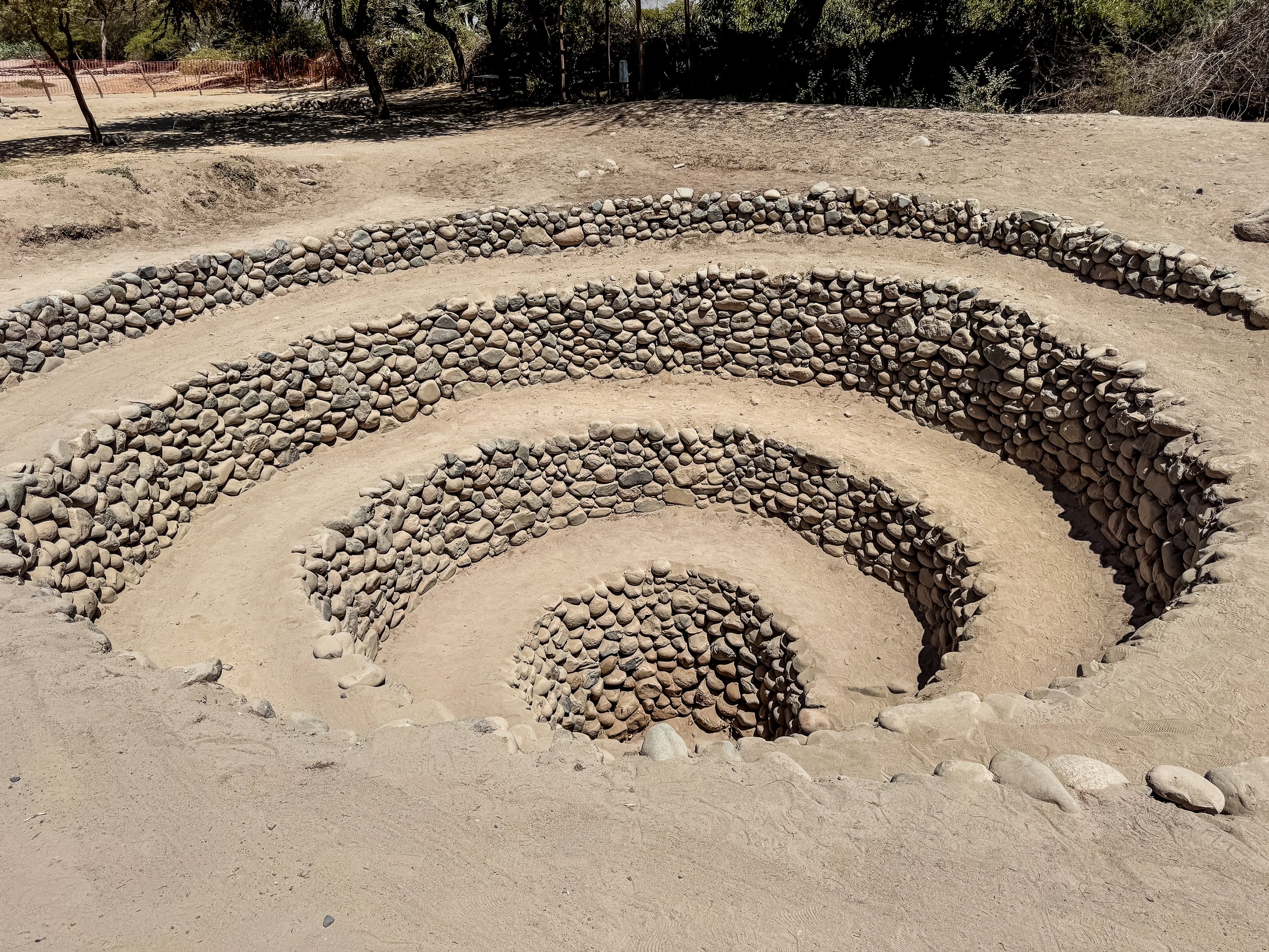
Cantalloc Aqueducts. A series of spiraled and circular stone aqueducts that drain into an underground canal for carrying water. Even during the peak of the dry season, the canal had flowing water while the adjacent river was completely dried up. They were build hundreds of years ago and are still in use today.
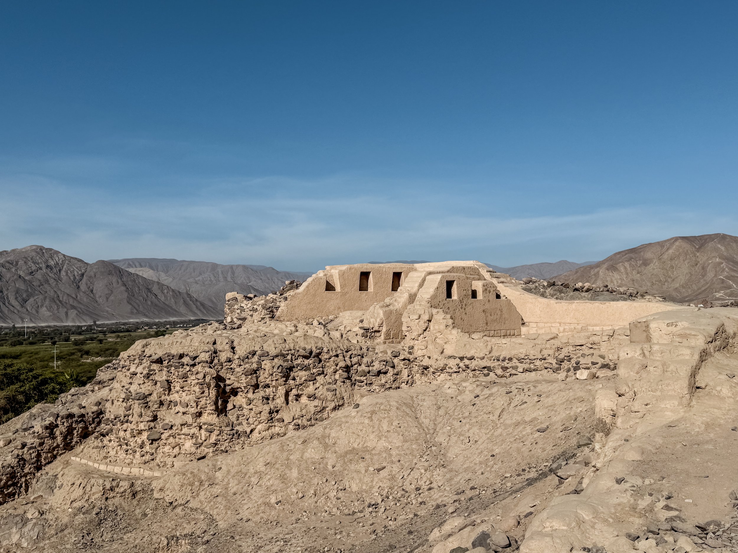
Los Paredones. The ruins of a terraced Incan city with trails leading past crumbling adobe brick walls, semi-restored buildings and broken fragments of ancient pottery scattered across the ground. It’s located about 20 minutes on foot from the Plaza de Armas. The ticket allows for access to other sights in the city including the Cantalloc Aqueducts.
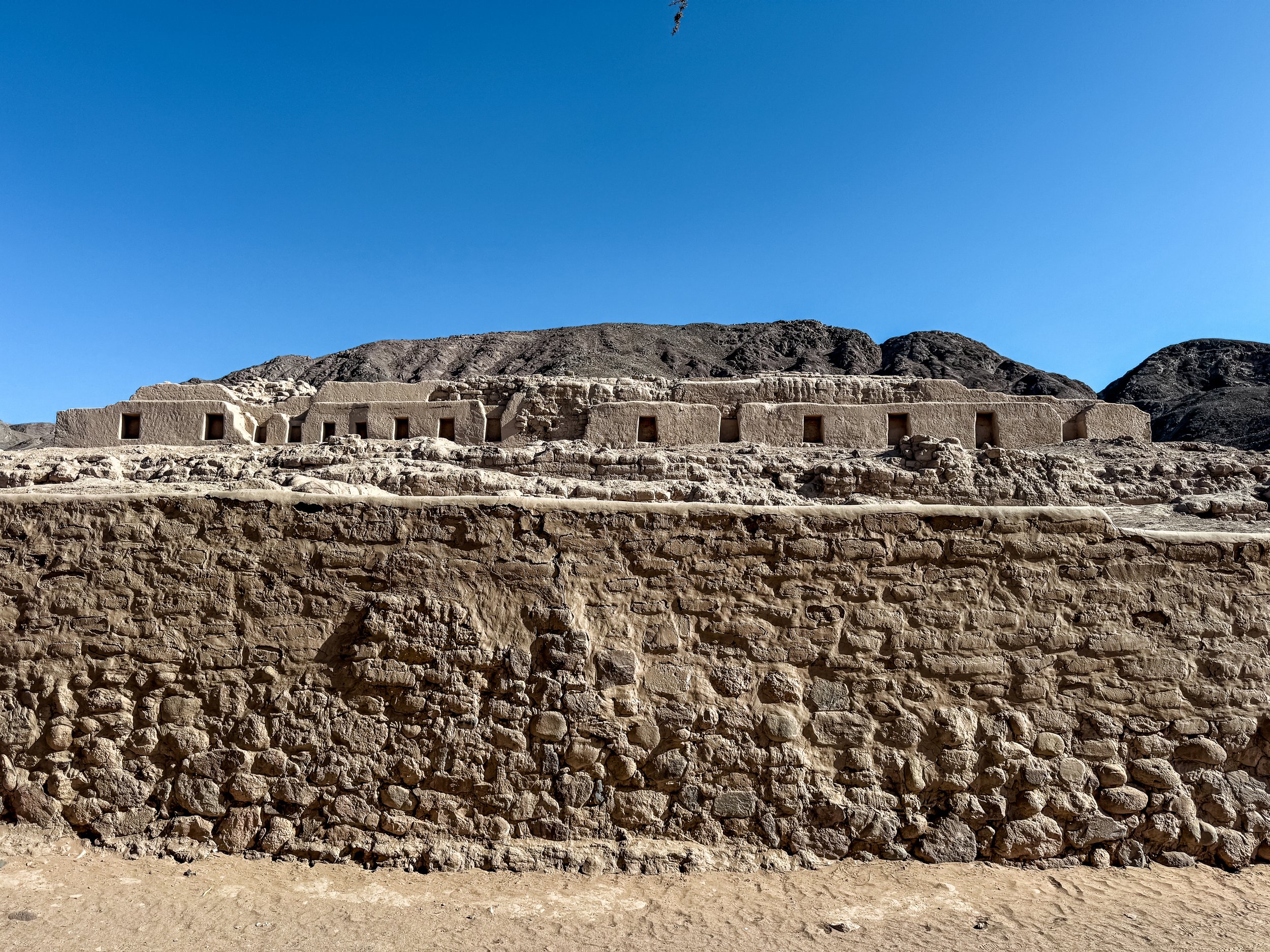
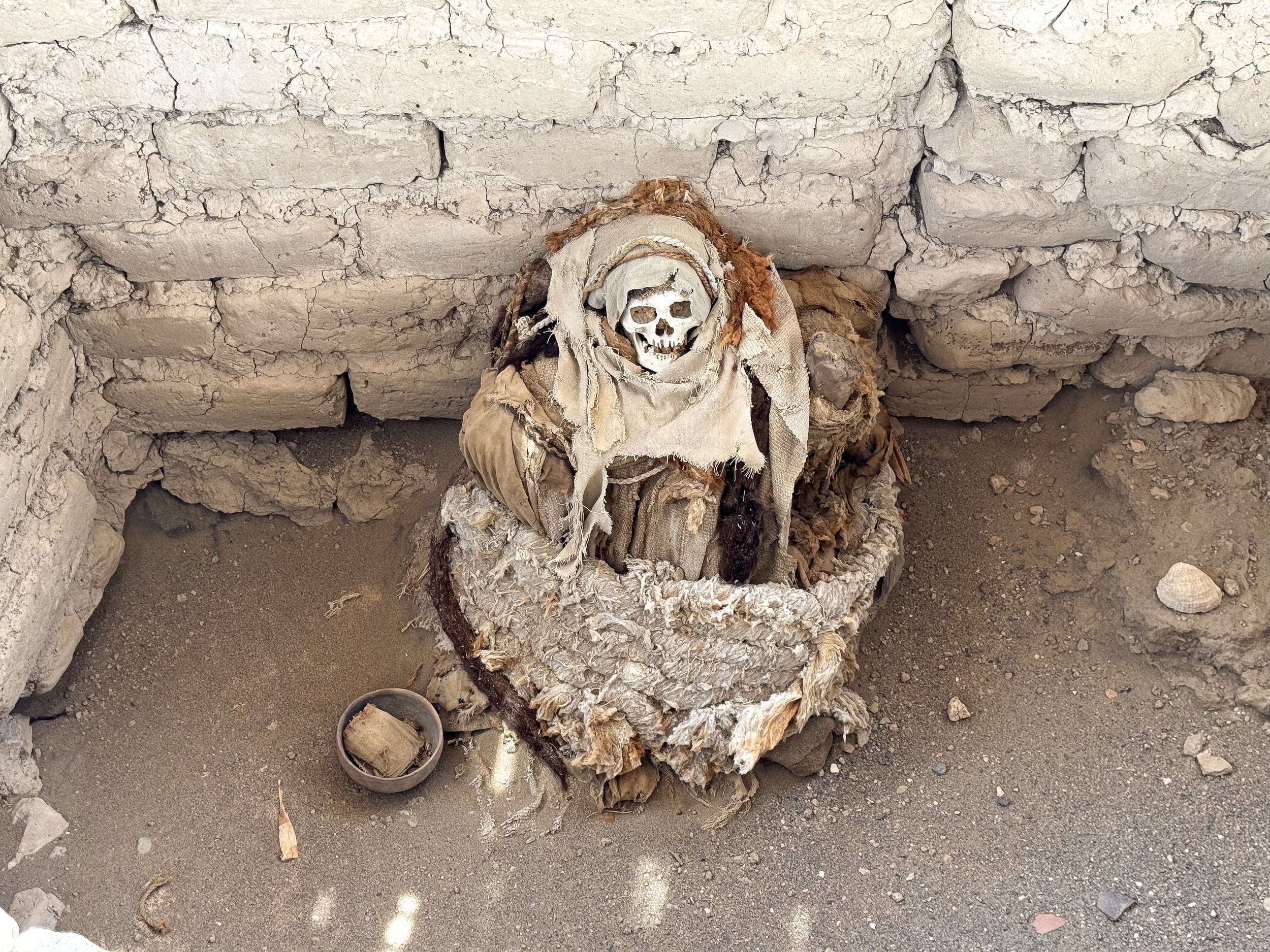
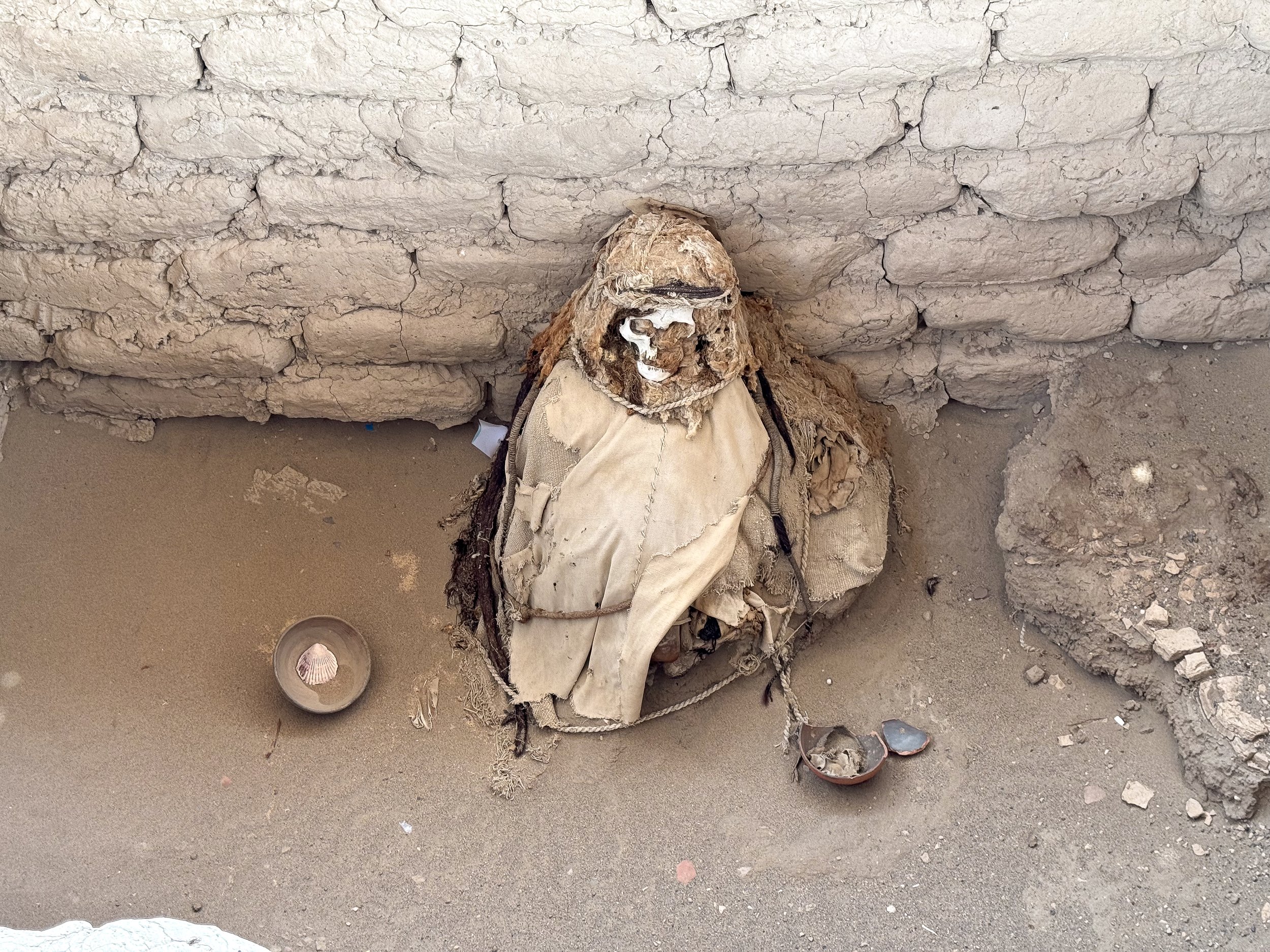
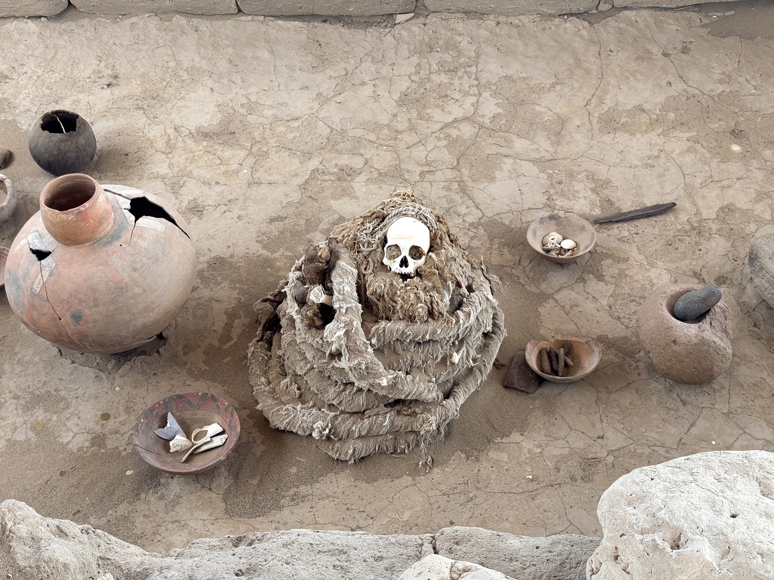
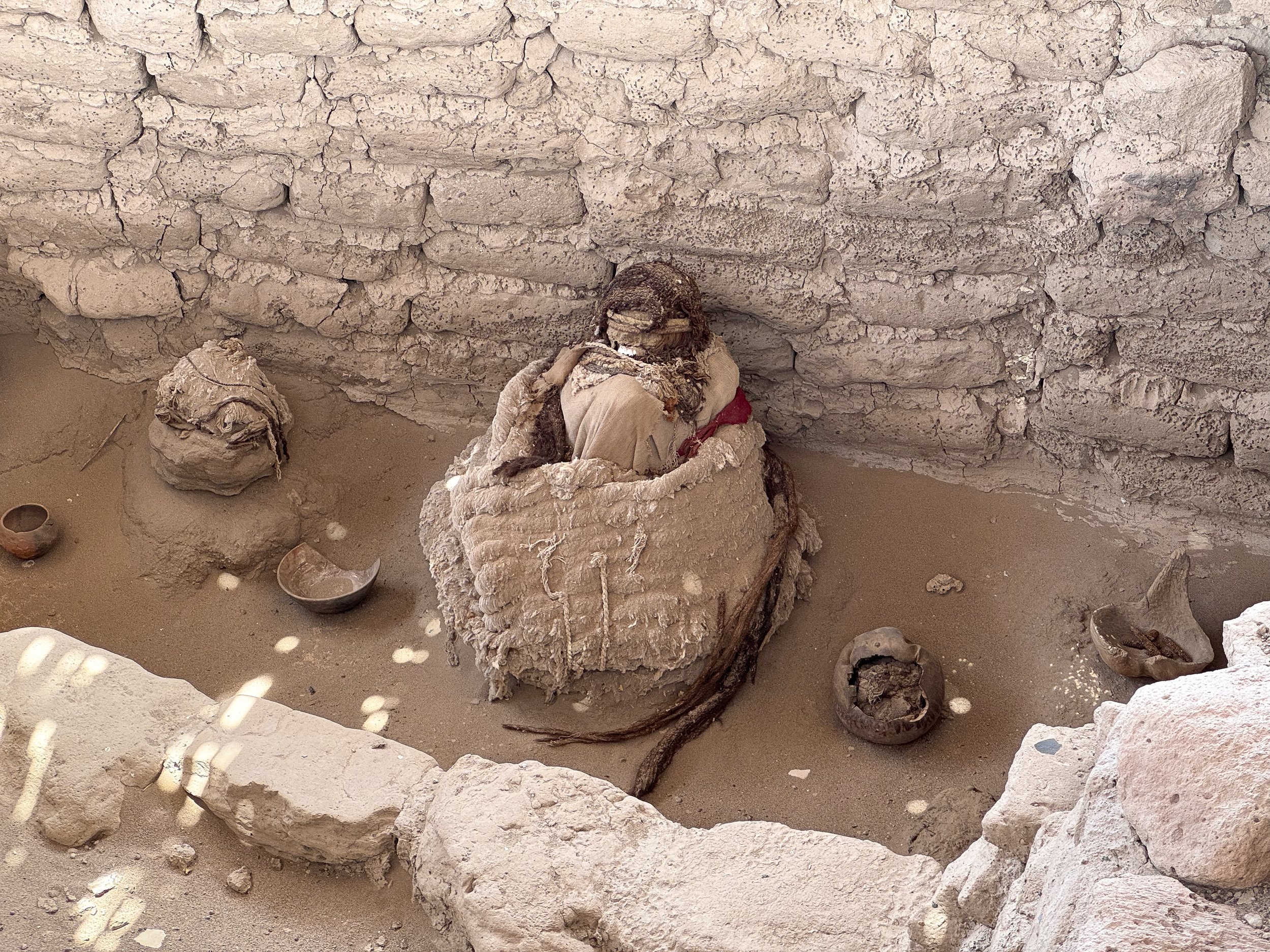
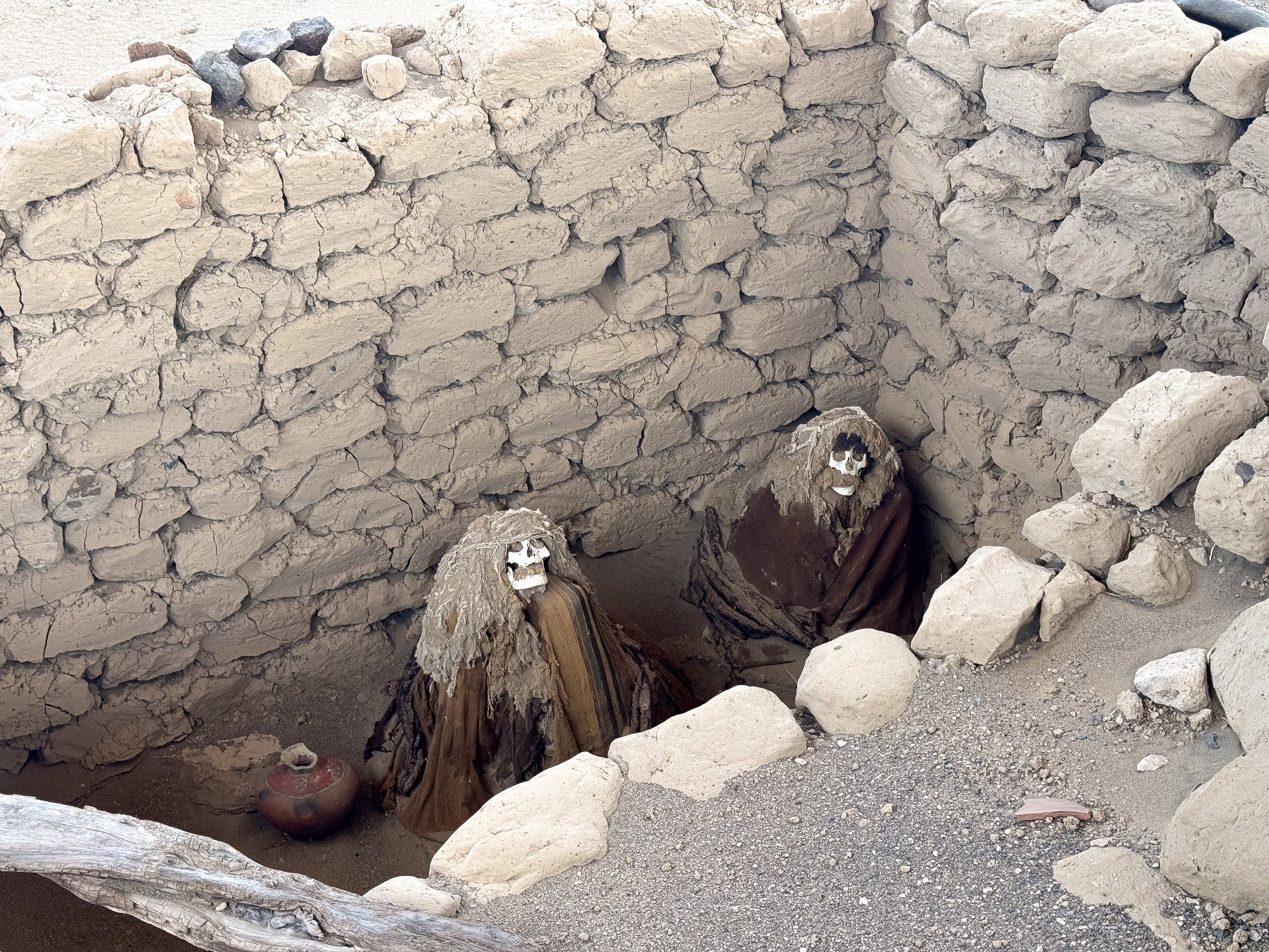
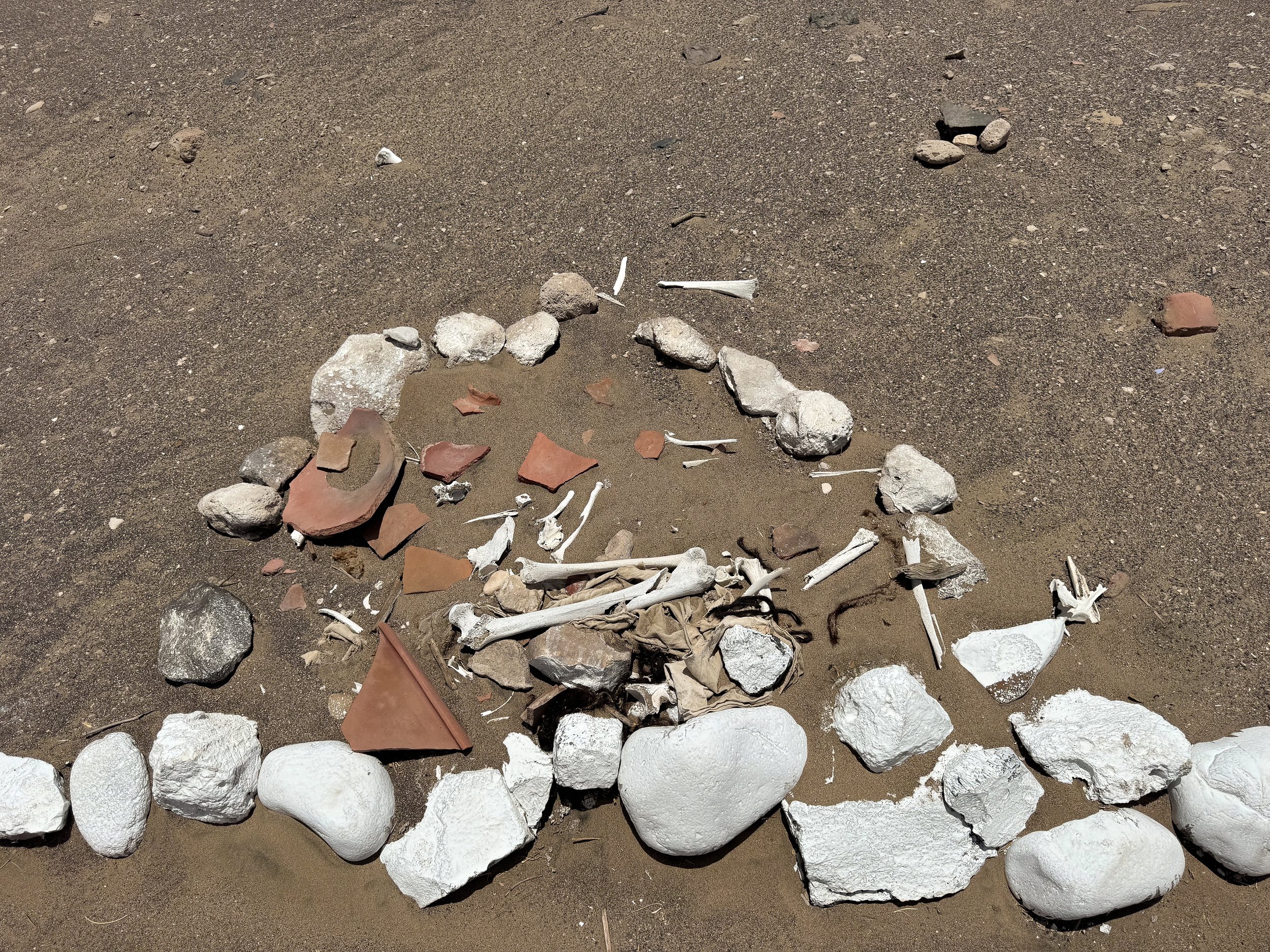
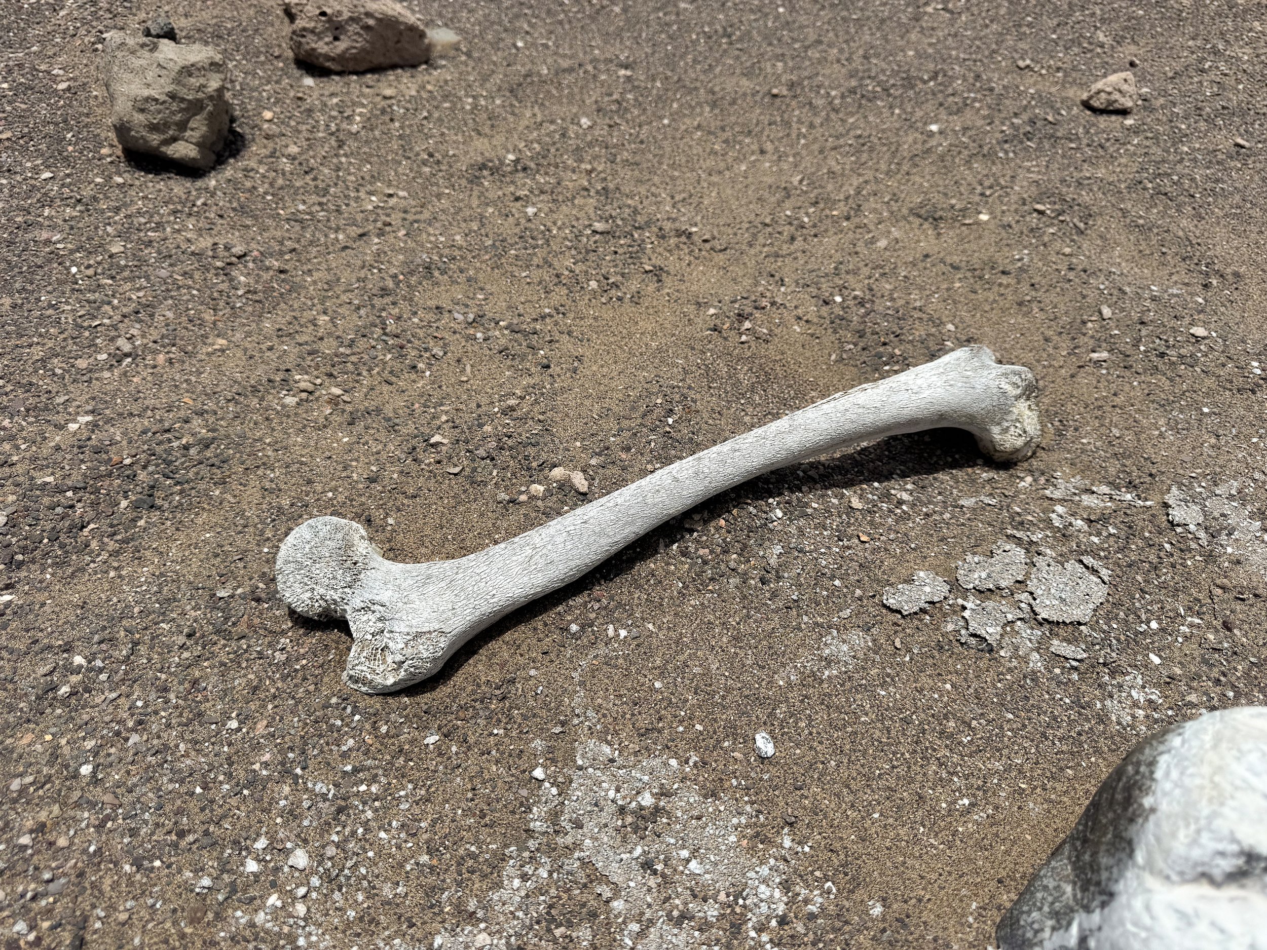
Cementerio Chauchilla. An ancient cemetery with the mummified and skeletal remains of the Nasca people dating back to 200 BCE. Inside the now exposed adobe brick tombs, bodies are buried facing east in an upright fetal position and wrapped in a basket of linens. Pottery holding objects meant for the afterlife are placed around them as their skulls stare outward baring lengthy strands of braided hair.
Due to grave robbing over the last century, bone fragments, torn linens and broken pottery from hundreds of tombs can be seen scattered across the landscape. Only the restored and preserved tombs are on display for viewing. The cemetery is located 45 min by car south of the city of Nasca.
Plaza de Armas. The tree lined central plaza with fountains, benches and artwork depicting the Nasca Lines. It’s a popular spot for families to hang out at night.
Feria de Comerciantes de Nasca. A traditional Peruvian fruit, vegetable and flower market with tables of vendors selling locally grown produce including avocado, blueberries, cherimoya, star fruit, passion fruit, giant squash, peanuts, farmers cheese, breads and some meats.
Where to Eat & Drink
Killa Cafe & Bar. A restaurant and cafe with coffees and breakfast dishes. We stopped in shortly after arriving in Paracas on the morning Peru Hop bus from Lima.
Mamashana. A Peruvian restaurant with traditional dishes like Papa a la Huancana, Lomo Saltado, Chupe de Pescado and Potato Causas.
Mom’s Cafe. A café with empanadas, baked goods, coffees, sodas and beers. It’s a pick up and drop off location for the Peru Hop bus in Nasca.
La Casa del Pisco Garcia. A very local bar that serves various Piscos by the glass, carafe, full bottle or in cocktails.
D’Gula Restaurant. A Peruvian restaurant serving traditional dishes like causas, parihuela, lomo soltado and pasta cooked in huacaillna sauce as well as Peruvian wines.
Street Tamales. The city comes to life at 8am with the call of the Tamale Guy driving by announcing “tamales, tamales, tamales” from a speaker in his car. We bought some wrapped in banana leaves, made with corn masa, spices and heart of palm.
Getting Around Nazca
On Foot. Upon arrival in Nasca, the best way to see the city and get around to nearby sights is on foot.
By Taxi. For further away sights more than 30min on foot, we opted to hire a taxi. Taxi drivers are plentiful across the city and should cost 10-20 Sols for short distances and around 50 Sols for larger distances.
Peruvian Cuisine
With access to the Pacific Ocean, cuisine along the coast of Peru is seafood heavy with many other dishes made from Peruvian potatoes and corn as well as cocktails made with Pisco.
Civiche. A Peruvian staple typically made from raw fish cured in lime juice with onions, cilantro, sweet potato and cilantro. Try it with Leche de Tigre, a spicy marinate often served in ceviche.
Jalea. Fried mixed seafood topped with pickled red onions, cilantro and tomato.
Parihuela. A fish stew made with white fish, shrimp, octopus and squid in a tomato broth.
Lomo Soltado. A stir fried and flamed beef dish cooked in a pan at high heat with onions and soy sauce. It can also be made vegetarian with bell peppers, eggplant or tofu.
Potatoes. Peru is known for having thousands of variety of potatoes. They’re served mashed in causas, fried and in soups & stews.
Causa. A pureed potato dish layered with fish, meats or veggies served cold. It’s a common appetizer at restaurants across the country.
Papas de Huacallena. A sliced potato dish covered in Huacallena sauce and served with sliced boiled eggs and olives.
Huacallena Sauce. A savory Peruvian sauce made from yellow peppers and cheese. It can be served hot or cold.
Choclo con Queso. Boiled Peruvian corn wrapped in a grilled piece of Peruvian cheese.
Canchas. Toasted or fried Peruvian Corn served as a snack at restaurants or garnish in various dishes.
Pisco Sour. Peru’s national drink made from Pisco, lime juice, simple syrup and egg whites all mixed together.
Chilcano. A Peruvian cocktail made with Pisco, lime juice and ginger ale. We ordered the traditional version and one with passion fruit multiple times.
Inka Cola. A yellow soda popular across Peru with a tuti fruity flavor. Coming from the Midwest, it tastes similar to Faygo Rock n Rye.
Cusquena. One of Peru’s national beers easily identifiable by its bottle cap with Machu Picchu on it and a bottle embossed in Incan stone work. It comes in three varieties, Dorado (Golden), Wheat and Negro (Stout).
For Next Time…
Having visited Peru twice for a total of 4 weeks, we continue to discover more places to visit and sights to see. On our third trip, we hope to venture deep into The Peruvian Amazon to the cities of Iquitos and Puerto Maldonado as well as some national parks like the Tambopata National Reserve and Bahauja-Sonene National Park.
The Peruvian Andes
The Peruvian Andes is breathtaking region, both in altitude and natural beauty. Its mountainous landscape is covered in Incan ruins, snow covered peaks, colorful valleys and terraced farmland with herds of alpaca and llama.
The Peruvian Andes
The Peruvian Andes is breathtaking region, both in altitude and natural beauty. Its mountainous landscape is covered in Incan ruins, snow covered peaks, colorful valleys and terraced farmland with herds of alpaca and llama.
Cusco & The Incan Empire
Within the mountains is the city of Cusco, a sprawling metropolis home to ruins of Incan empire and pre-colonial civilizations. It’s the branching off point for Machu Picchu and numerous sights in The Sacred Valley. Having previously visited Machu Picchu, we used our second trip into the Peruvian Andes to see sights we missed in Cusco and the Sacred Valley.
Machu Picchu
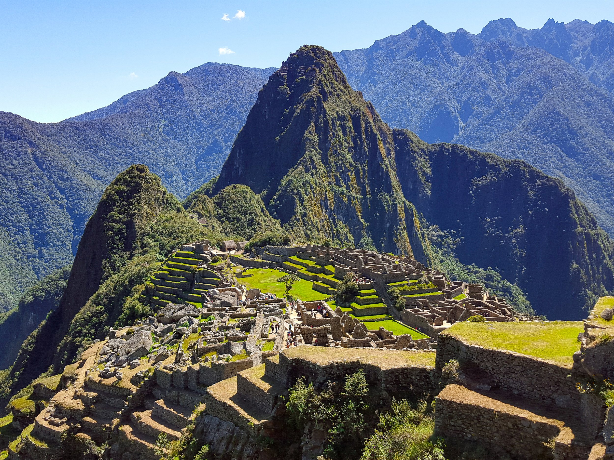
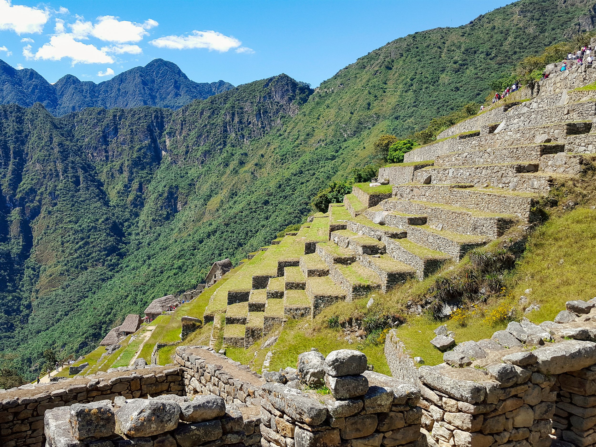
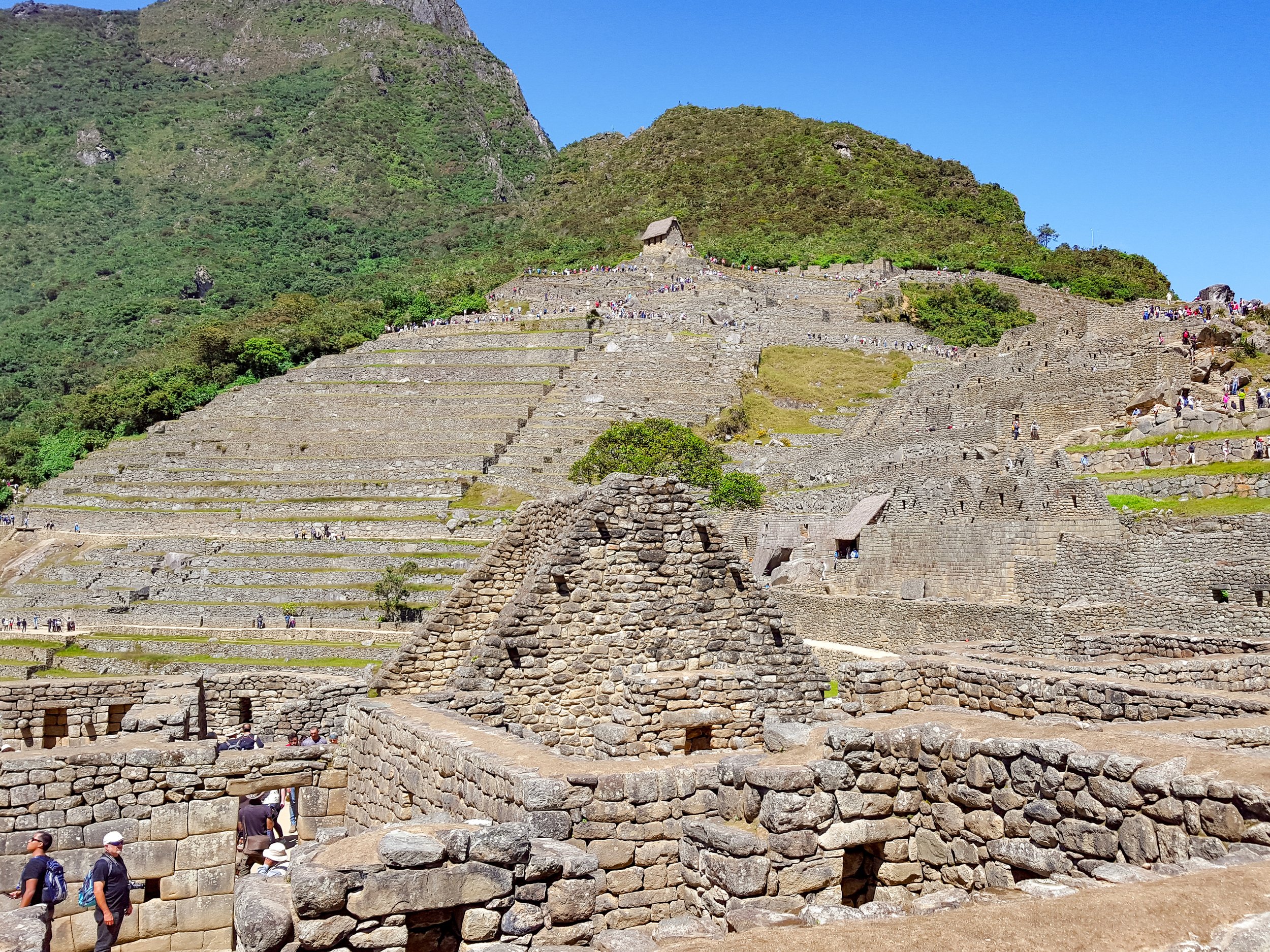
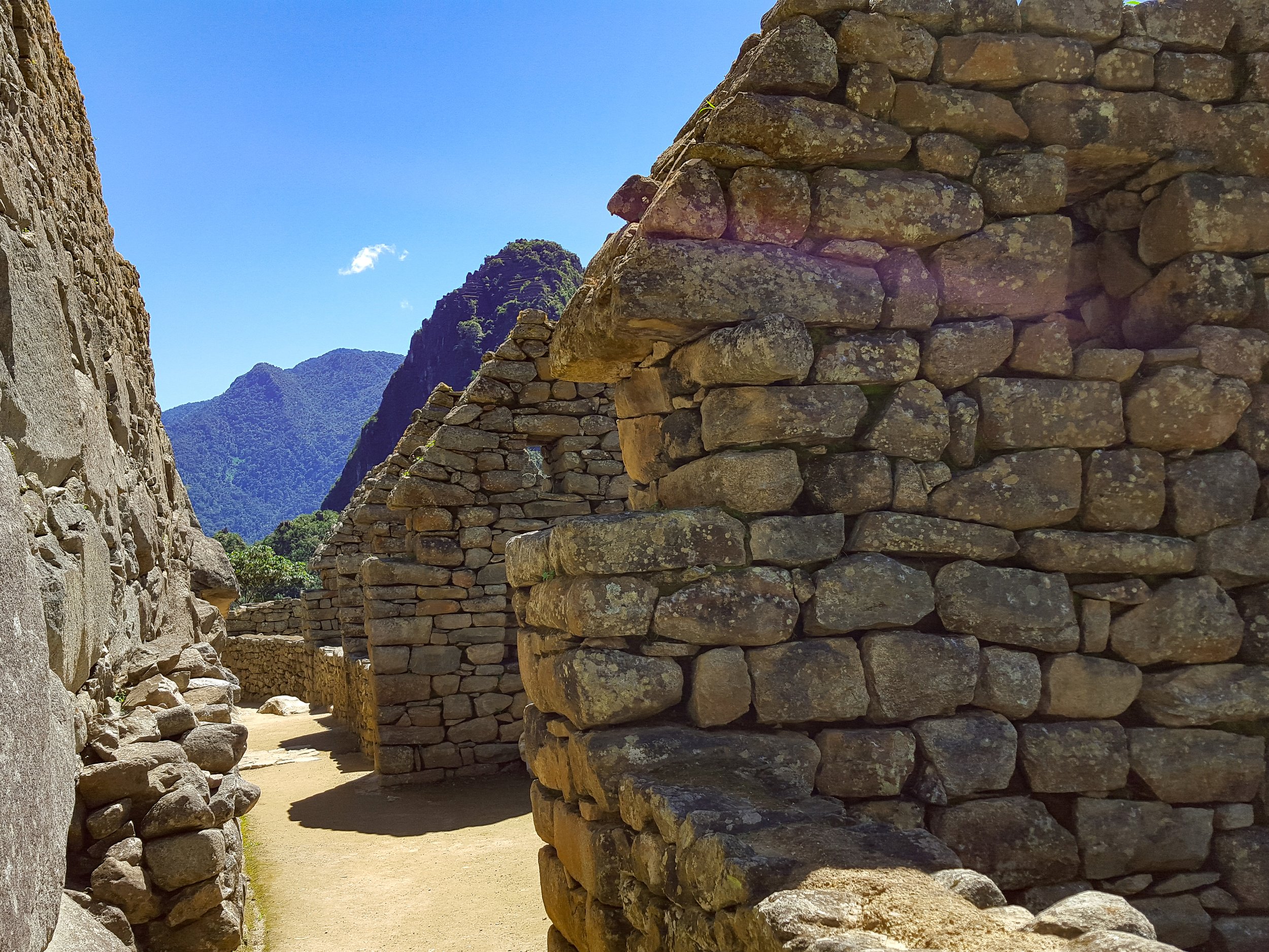
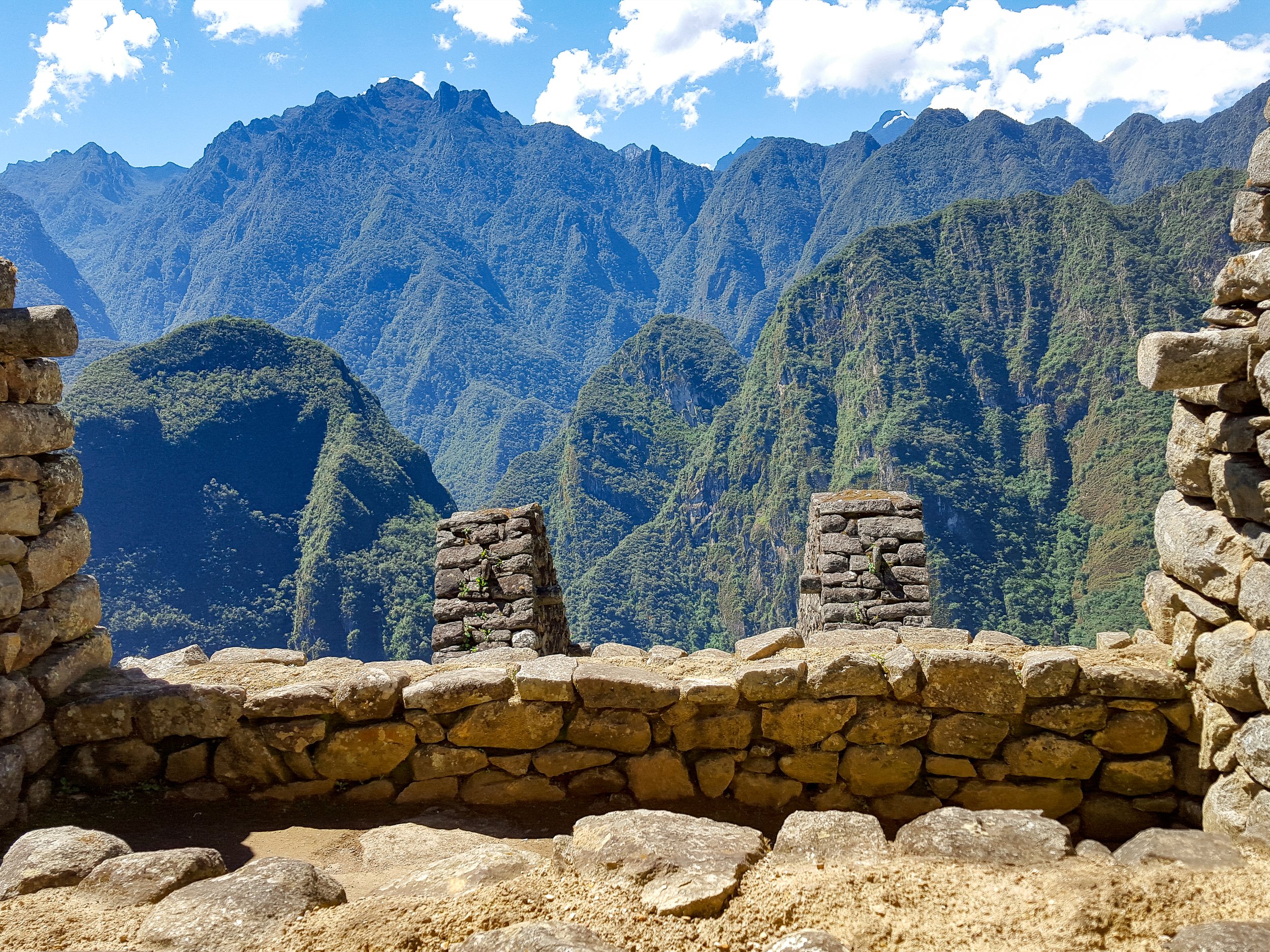
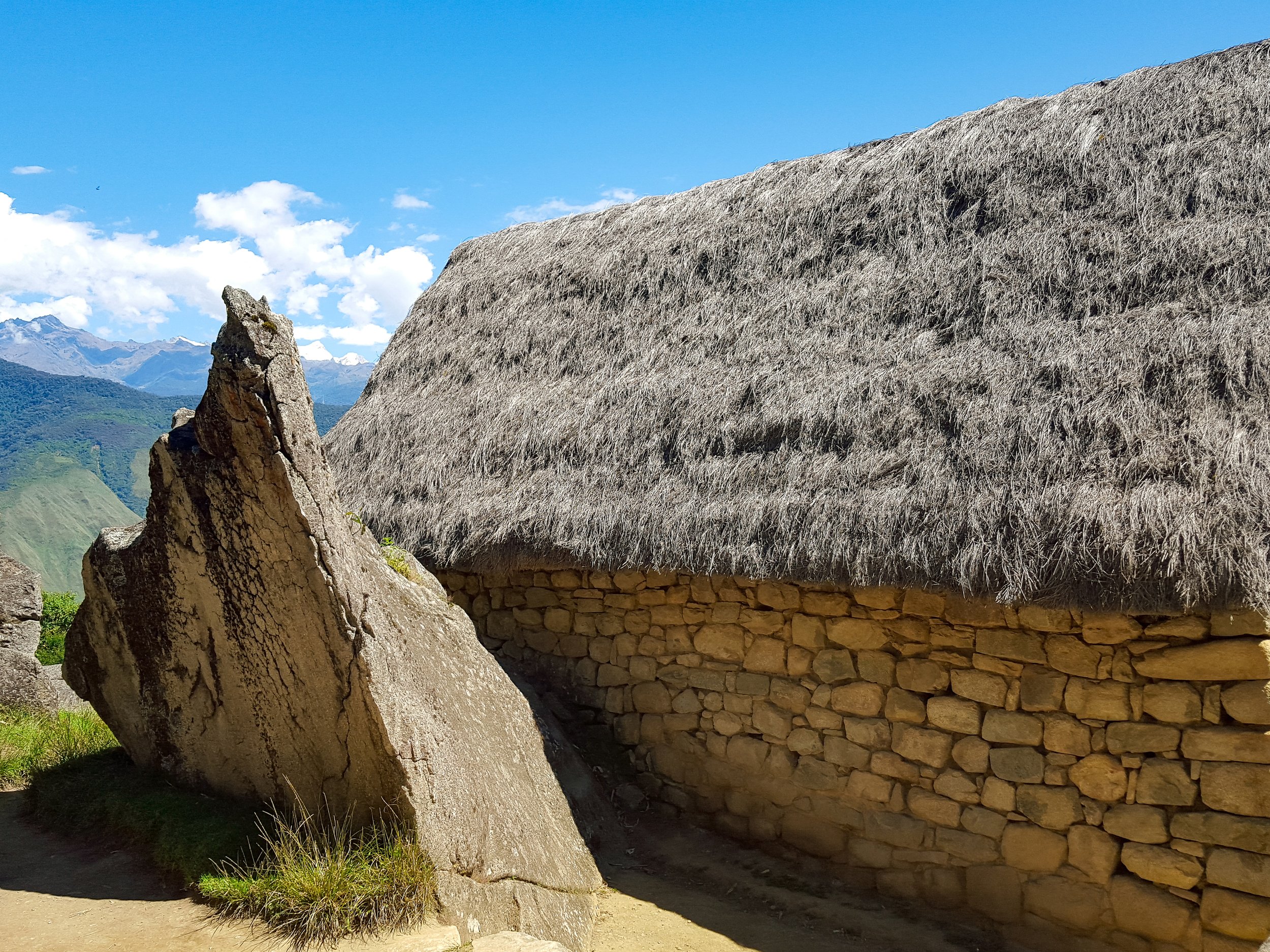
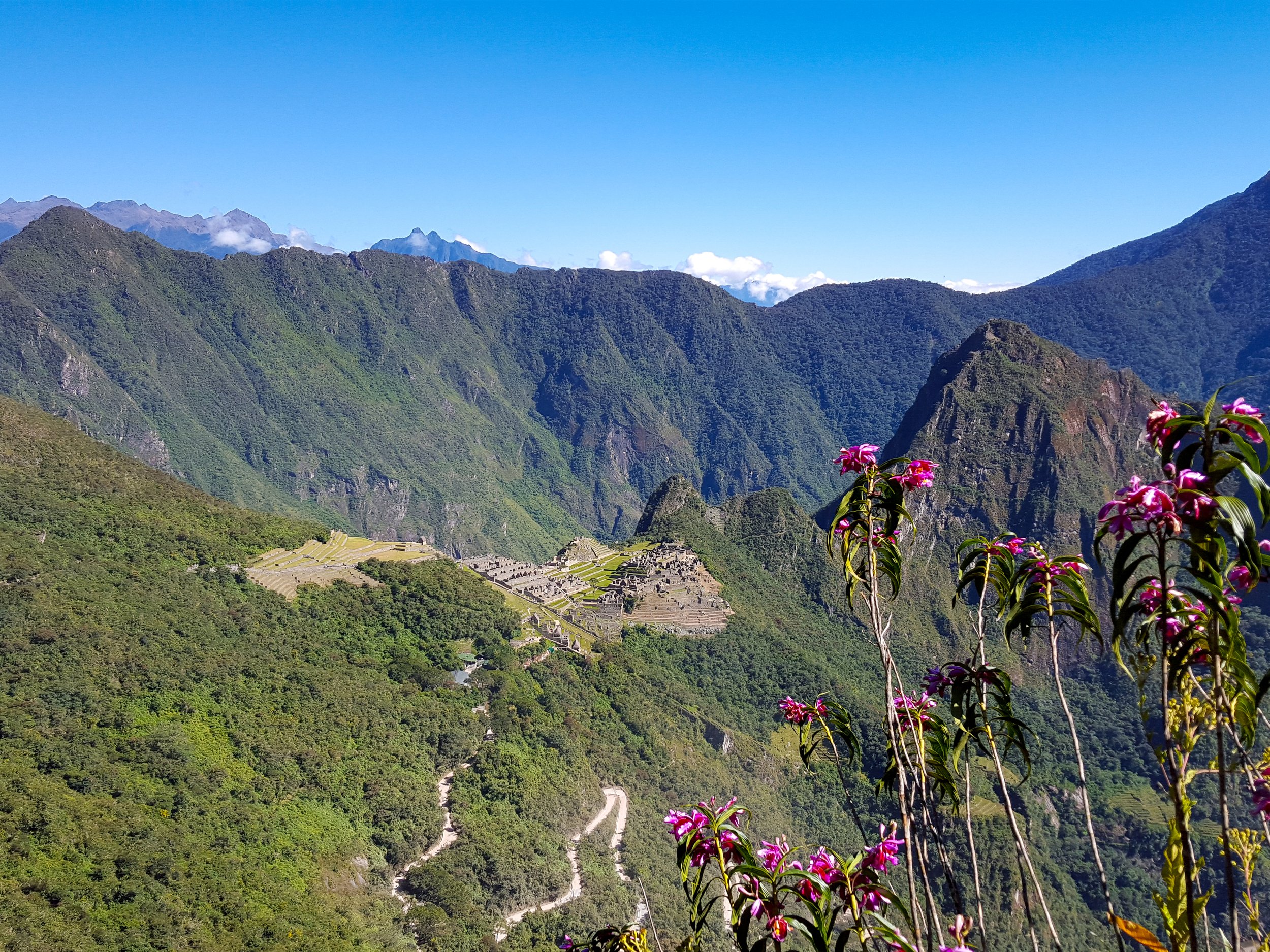
Hidden for centuries, Machu Picchu is known as The Lost City of the Incas. The sprawling ruins of the ancient acropolis rest atop a mountain set against the dramatic Andean landscape. The citadel is comprised of residential neighborhoods, layers of agricultural terraces, stone storage structures, ceremonial temples and a central plaza with free roaming llamas. We spent a half day meandering through the ruins of the city, observing it from scenic overlooks and hiking partly along the Inca Trail.
Good To Know:
Access: When we visited in 2016, only 2,500 people were allowed to visit Machu Picchu per day. At the time, we were free to access most areas of the ancient city. As of 2024, the limit has been increased to 4,500 people and “circuits” have been established, regulating the specific areas visitors can access.
Tickets: Book tickets months ahead of time. Given the new “circuits”, it’s best to visit over a two day period booking multiple tickets to see more of the ancient city.
Inca Rail: One of the train companies offering roundtrip rides between Cusco and Machu Picchu through the Sacred Valley. The train has a vintage feel with green painted historic carriages and large viewing windows.
Aguas Calientes
The town at the base of Machu Picchu with hotels, restaurants, bars, an artisan market and thermal hot springs.
Mercado Artesanal. A sprawling artisan market with aisles of vendors selling Peruvian textiles, woven goods and souvenirs underneath a corrugated sheet metal roof. We haggled for baby alpaca blanket and hand painted coasters.
Baños Termales. The thermal hot springs the town of Aguas Calientes is named after. We came here late in the afternoon to relax is the warm water pools before catching our train back to Cusco.
Imperio de los Incas. A road along the Urubamba River with restaurants, bars and hotels overlooking the rapids and riverbank.
Sacred Valley
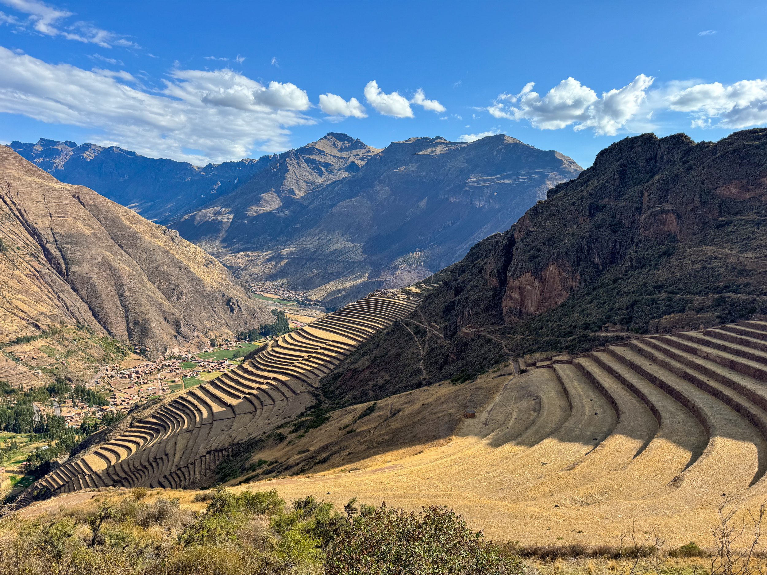
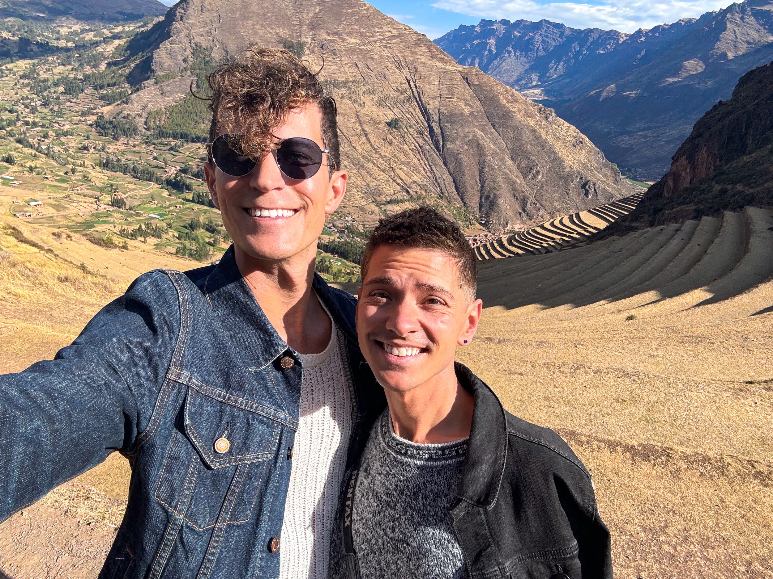
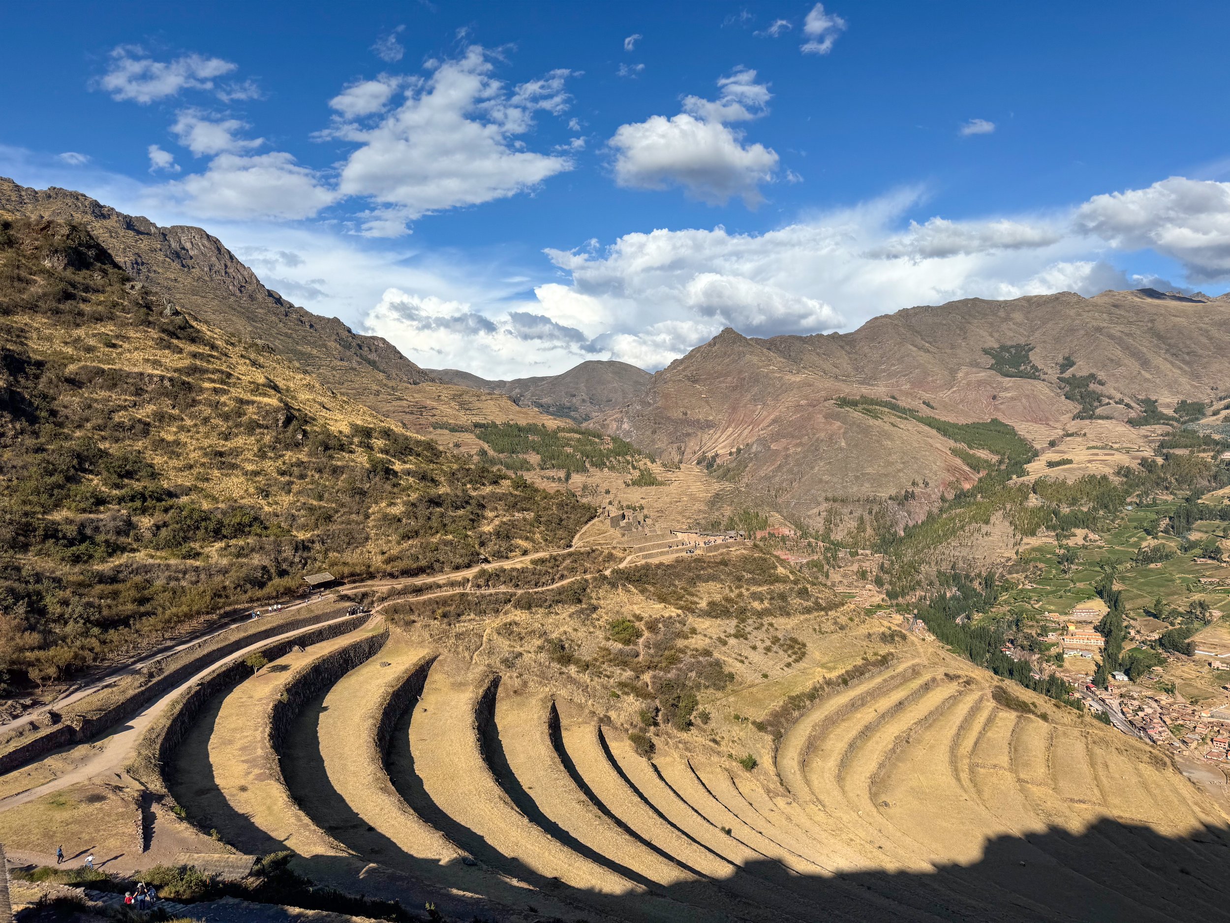
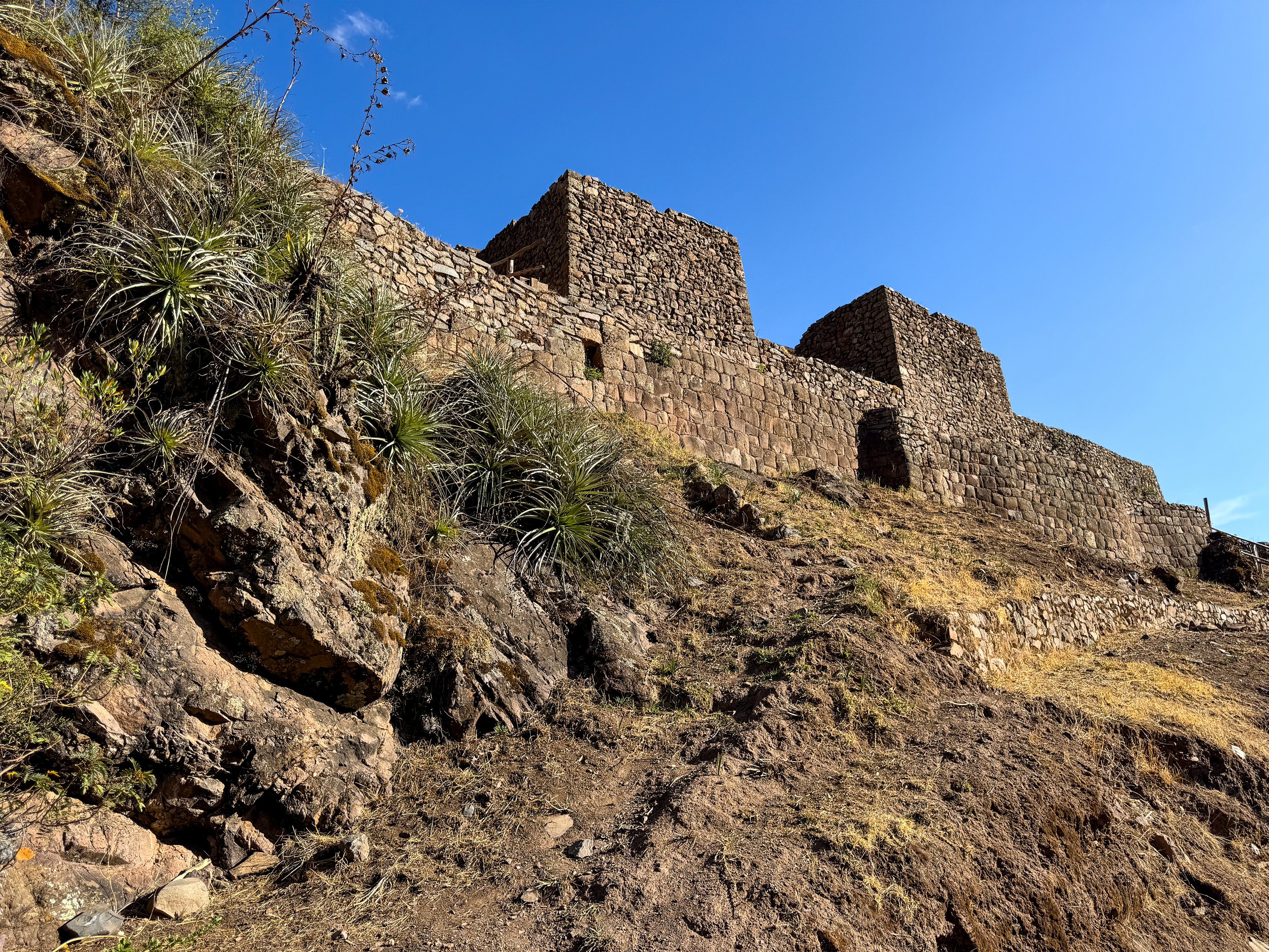
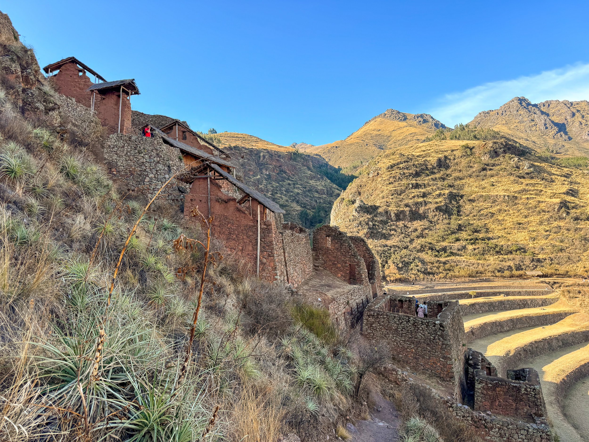
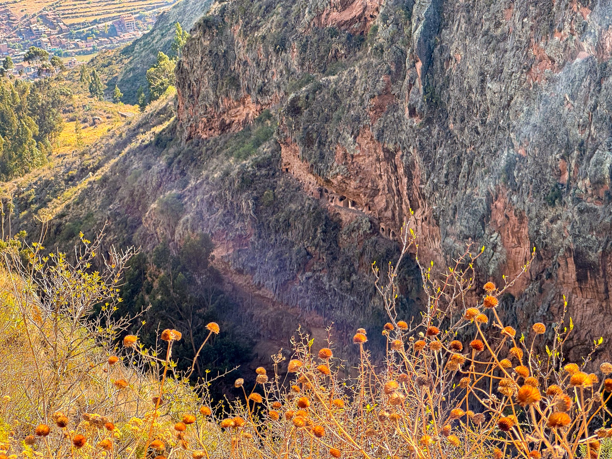
The Sacred Valley follows the Urubamba River from Cusco to Machu Picchu past some of the Incan Empire’s most important sights including: Pisac, Salineras de Maras, Moray Terraces and Ollantaytambo. We took a full day private tour from Cusco that brought us to all four sights. Book here!
Pisac Ruins
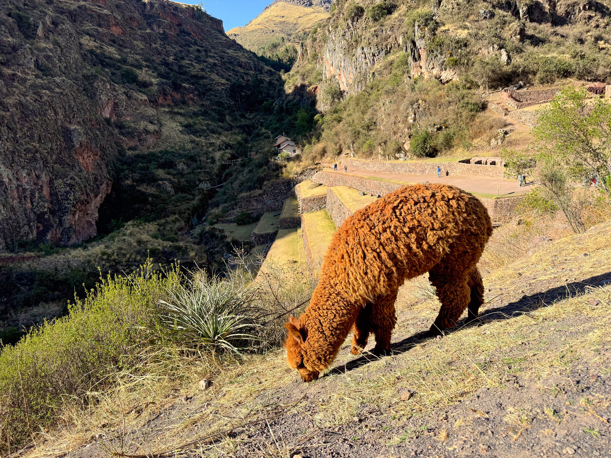
The Pisac Ruins are home to sprawling agricultural terraces covering the hillside leading to the ruins of a mountaintop city with a maze of stone buildings and staircases leading to its summit overlooking the valley. Along the terraces, llamas and alpacas roam free feeding on the grass. Behind the ancient city is a cemetery built into the vertical cliff with holes where the Incas would bury their dead.
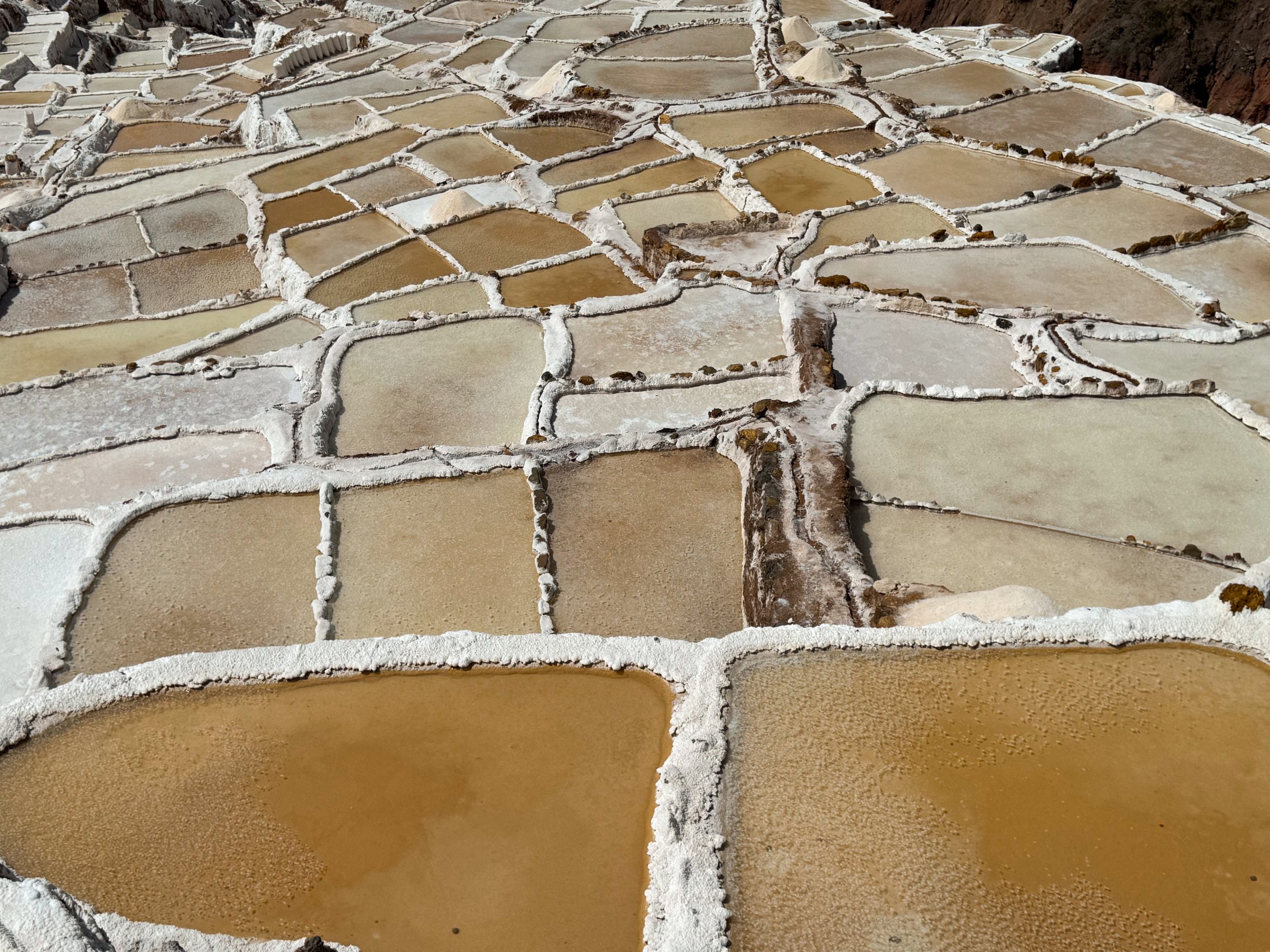
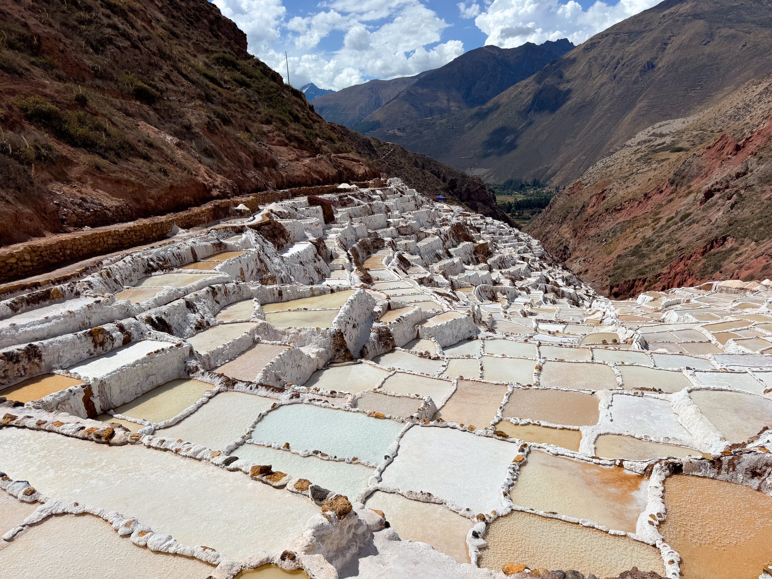
Salineras de Maras
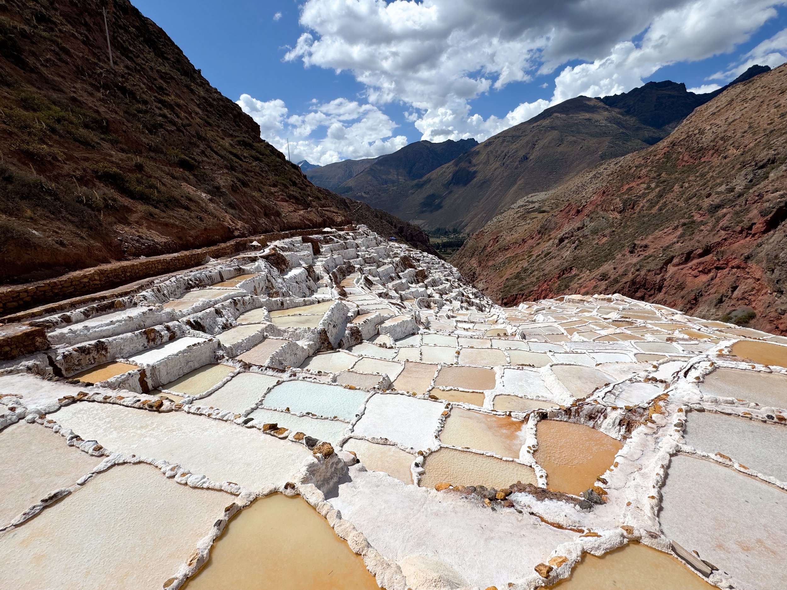
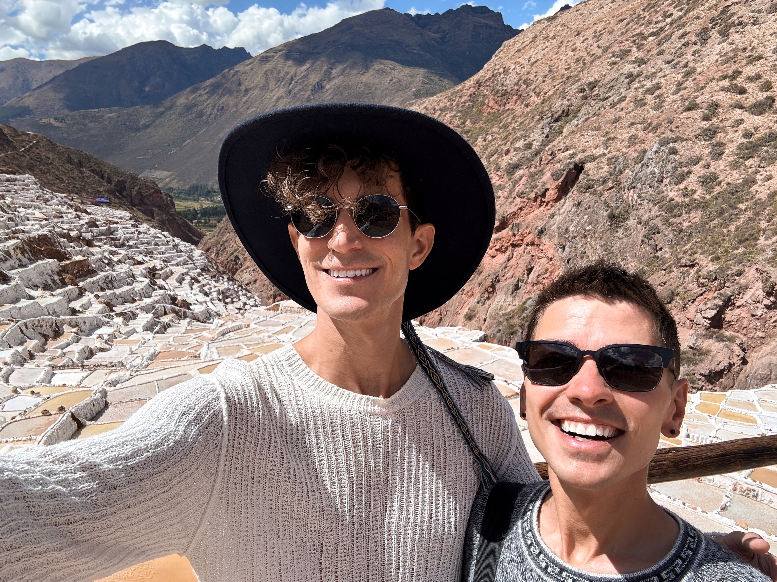
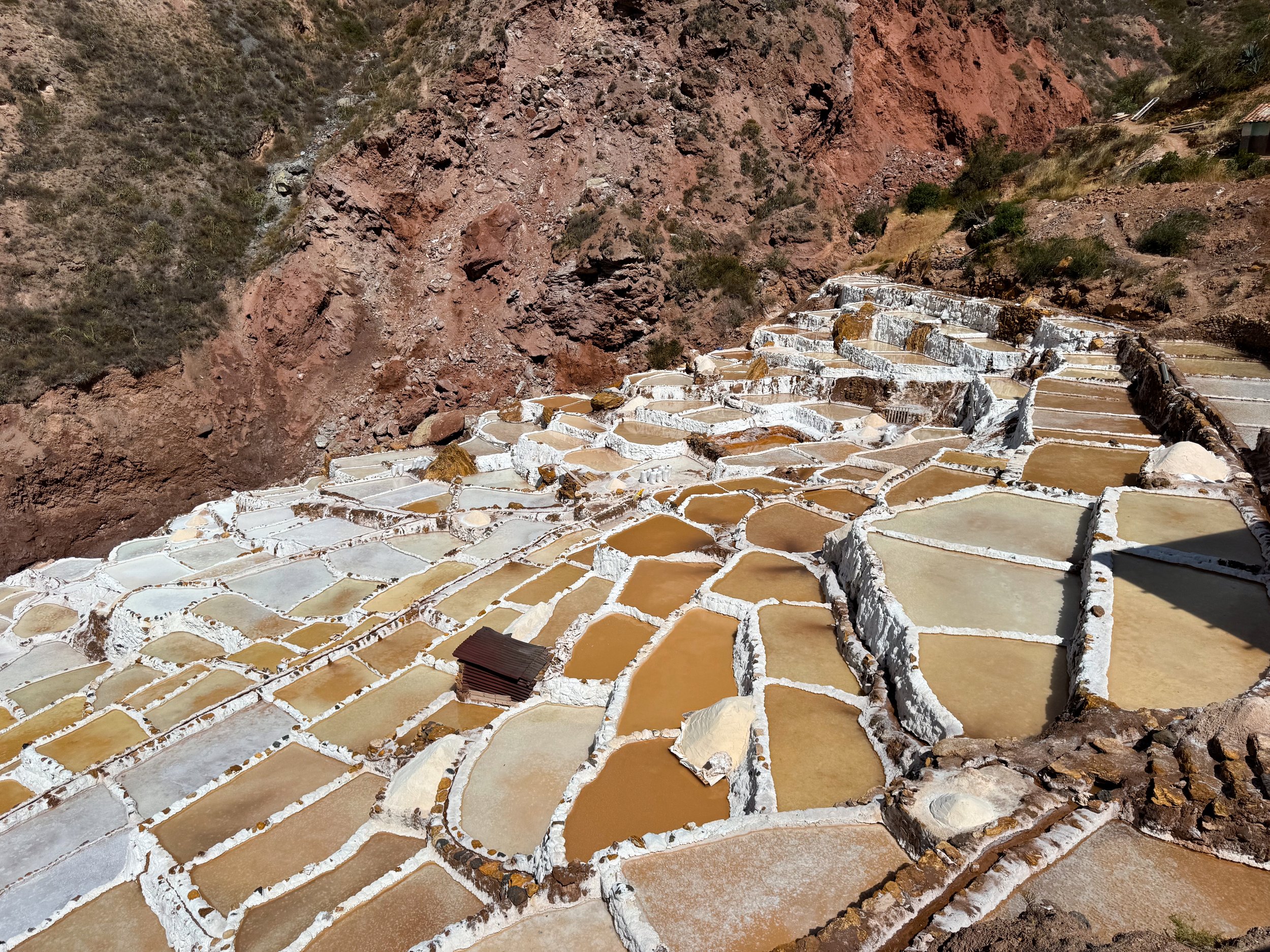
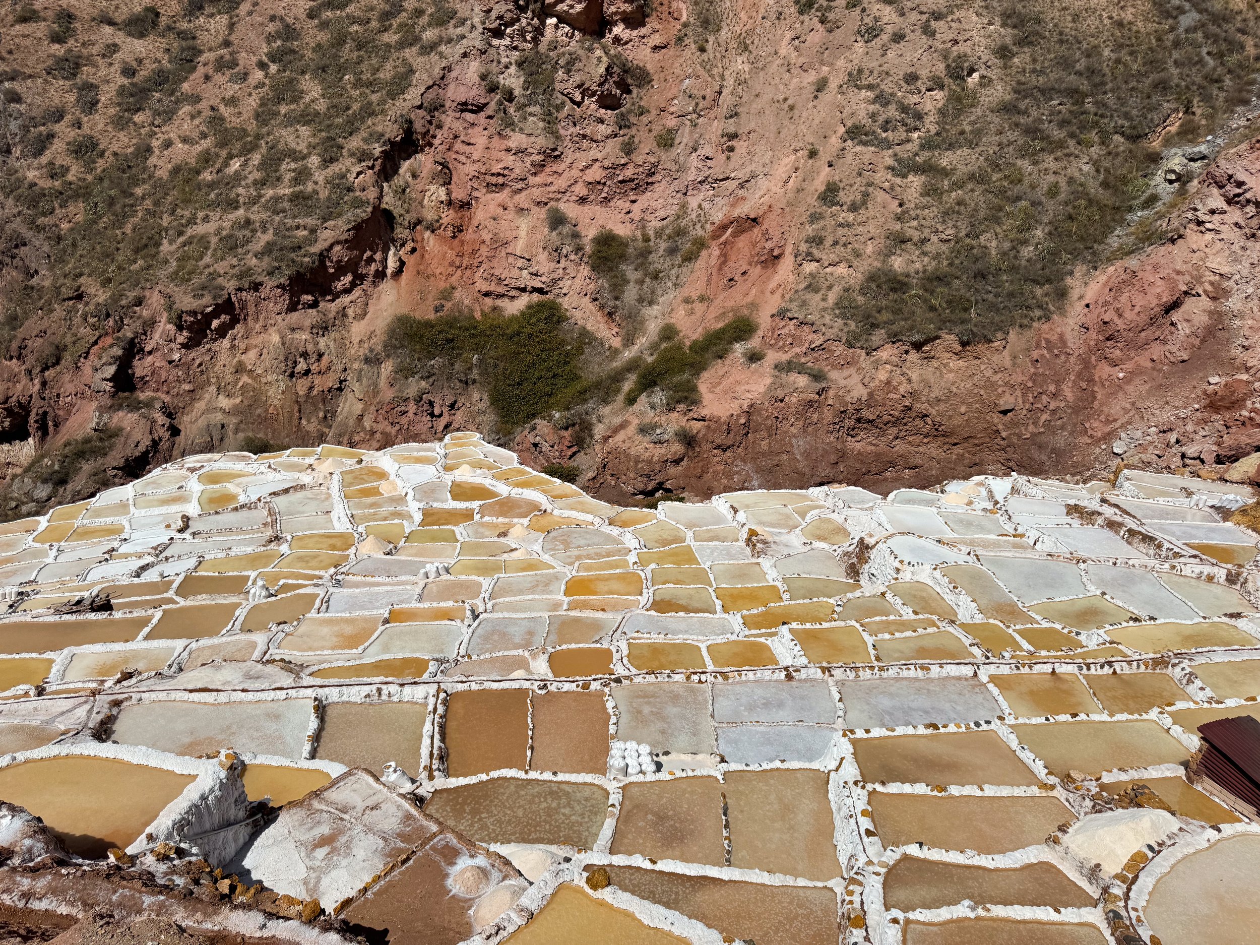
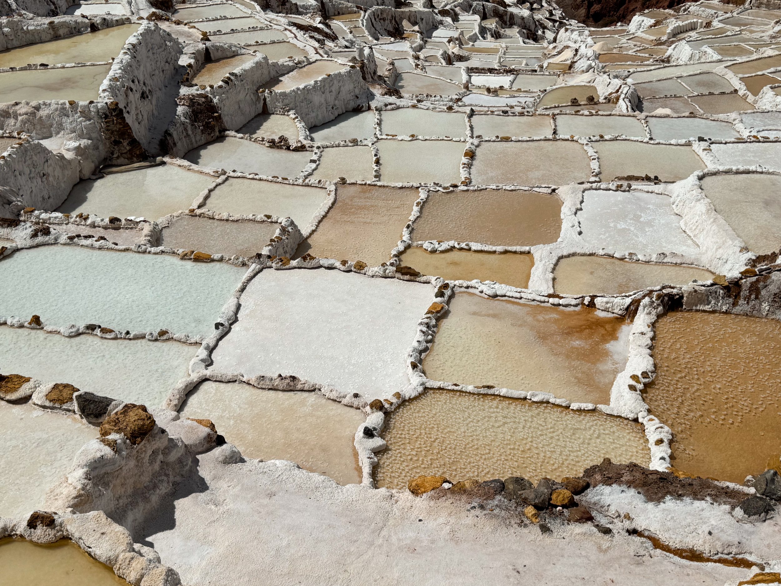
Salineras de Maras is a series of terraced salt pools ranging in color from white to light blue, beige and brown with thin layers of salty spring fed water covering their surfaces. Many of the terraces pre date the Incans and are still in use today for harvesting salt. There are routes with overlooks above the terraces to admire their beauty & structure.
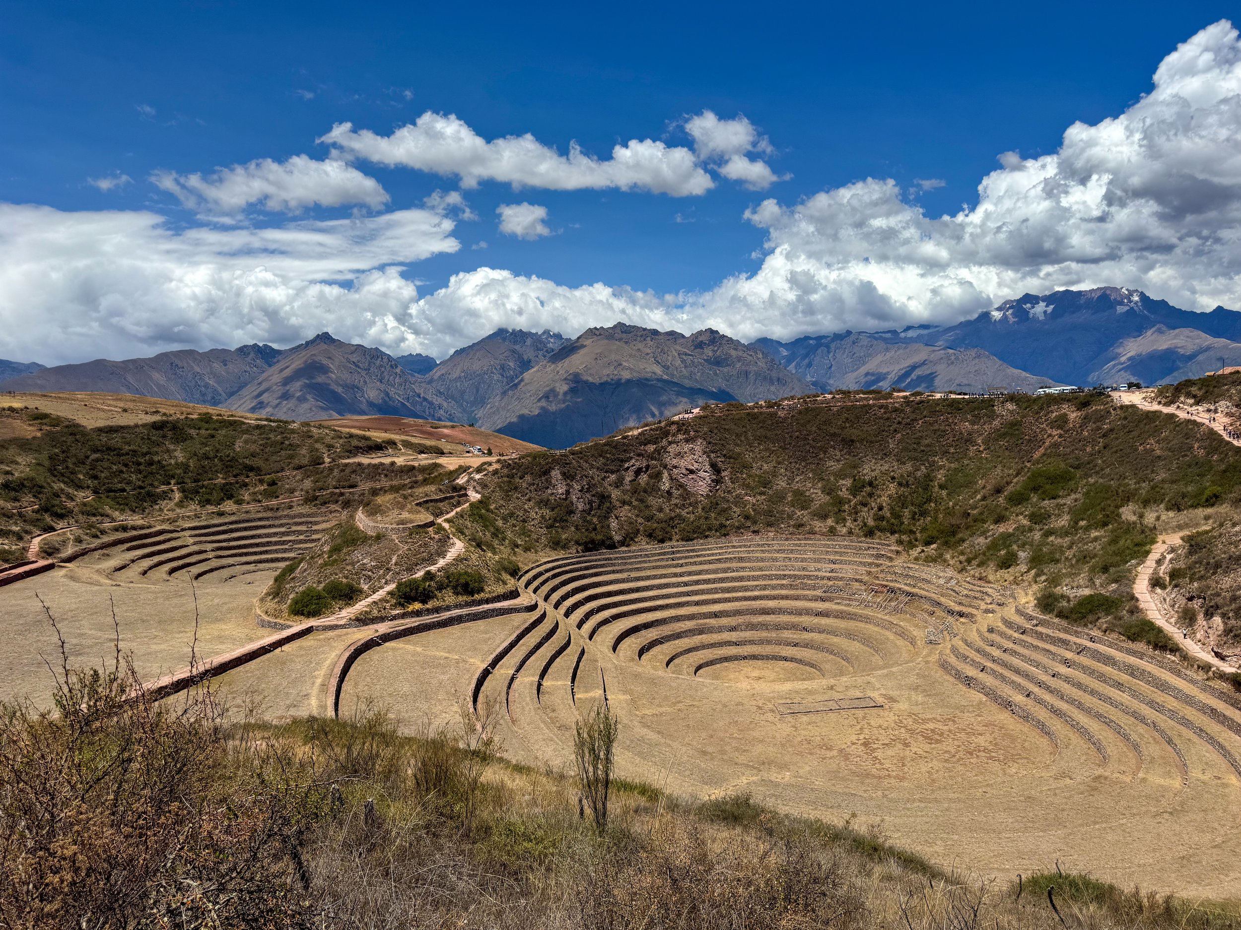
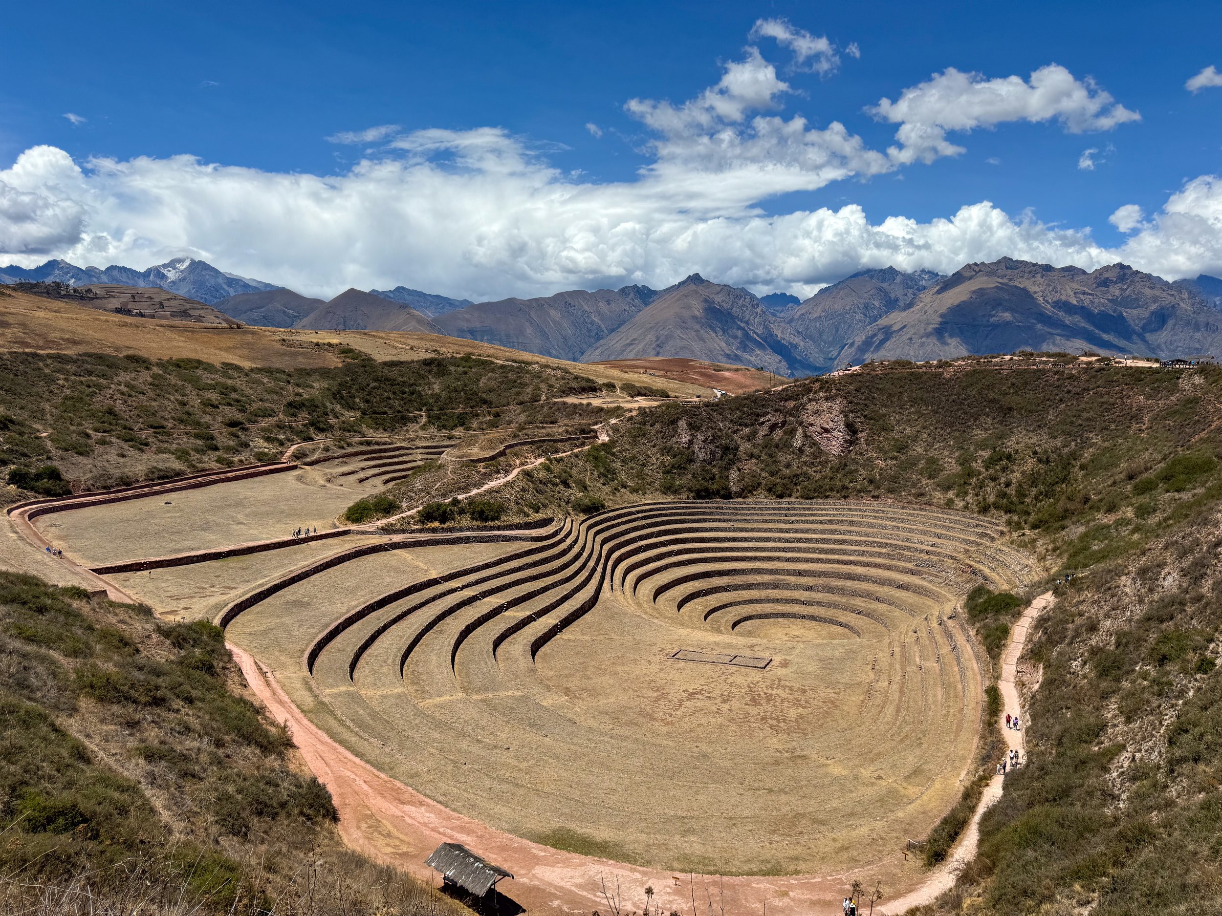
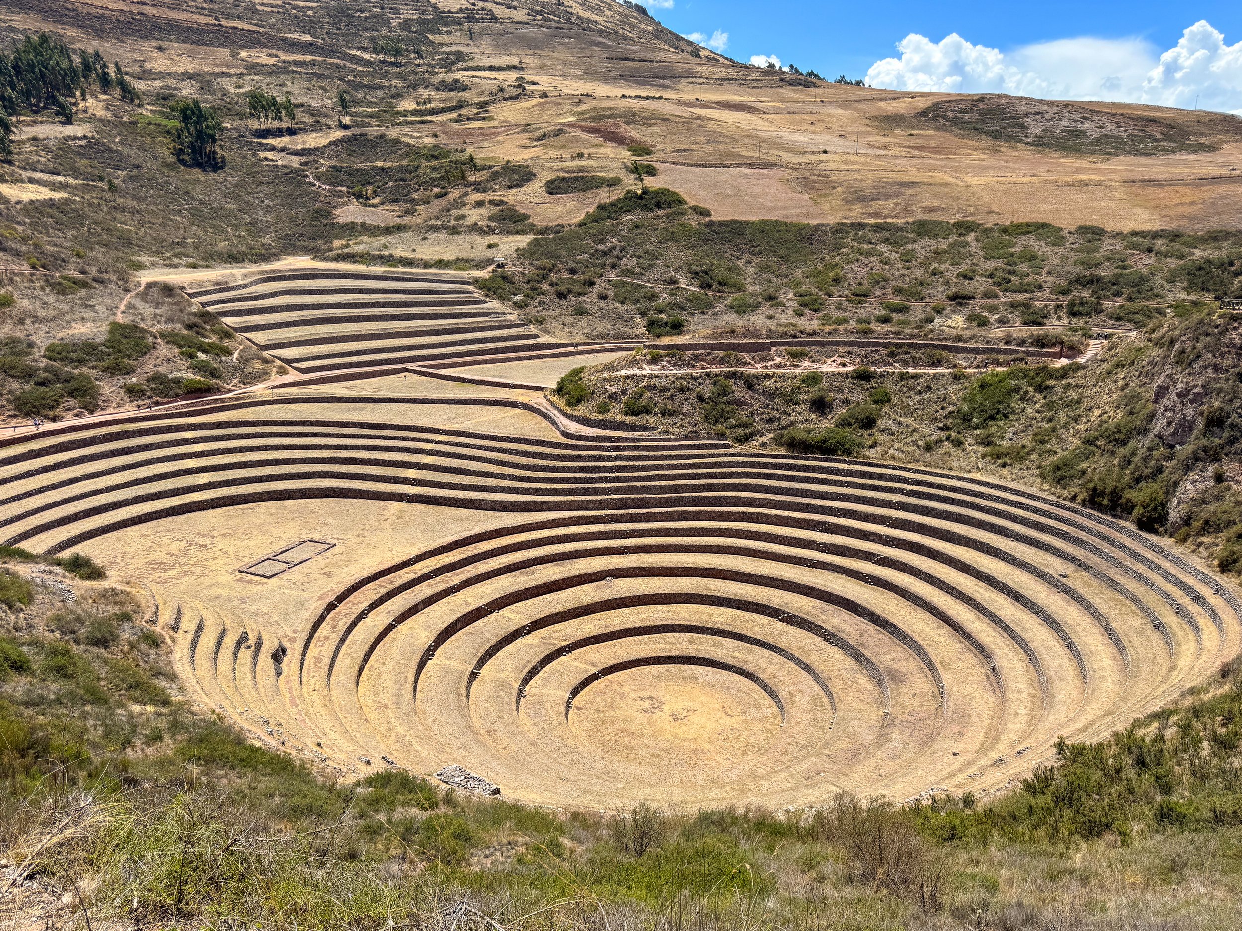
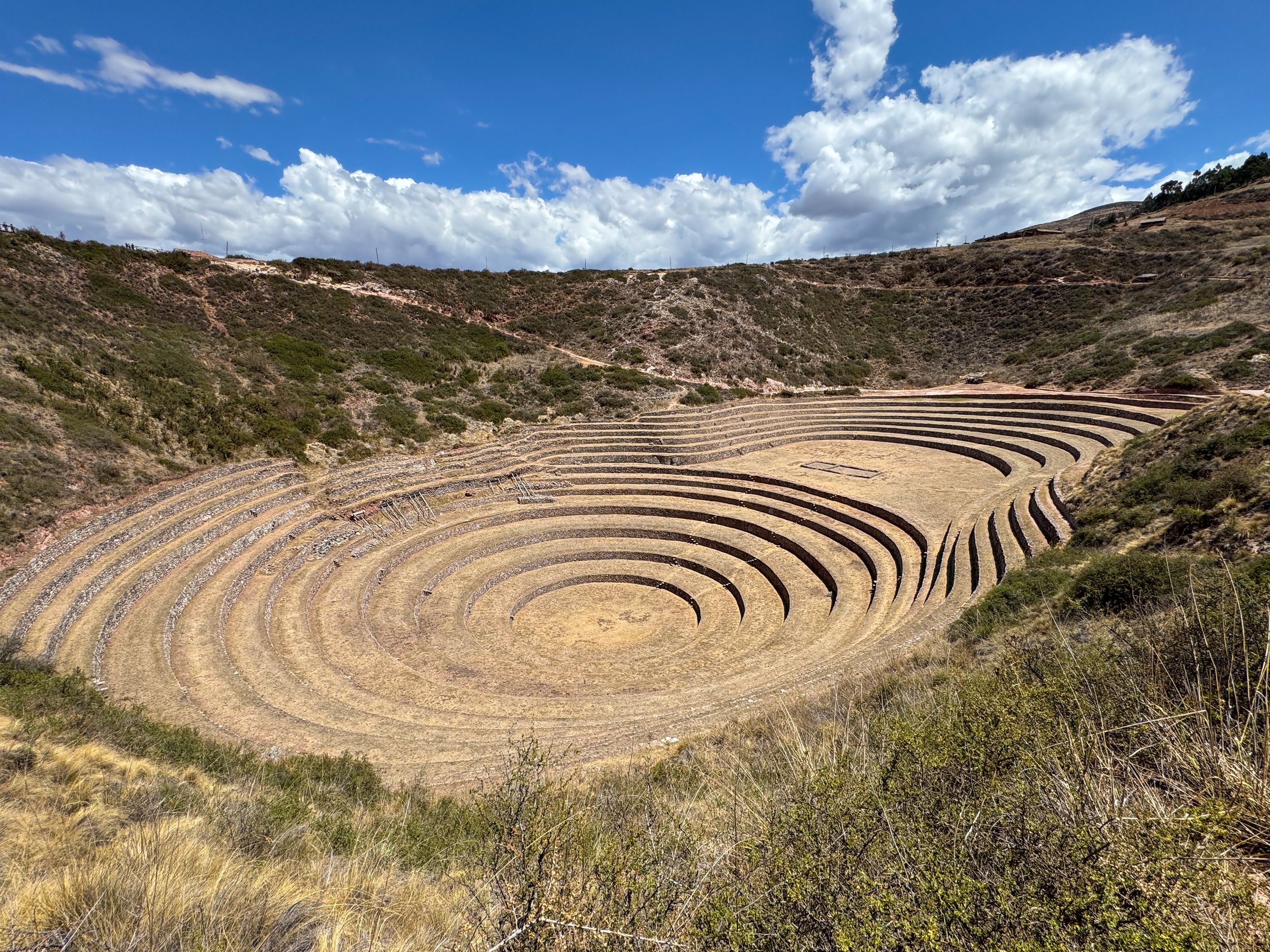
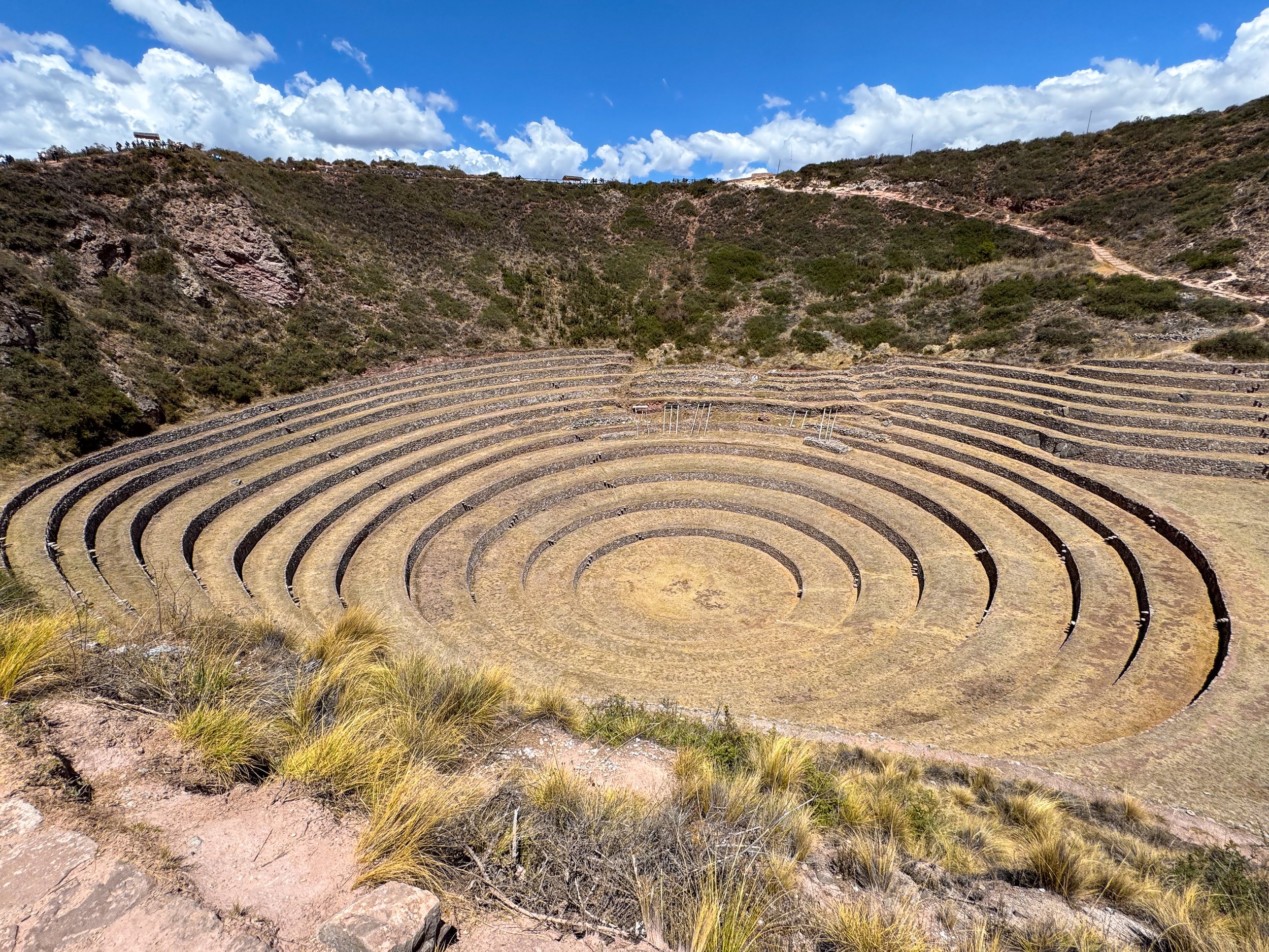
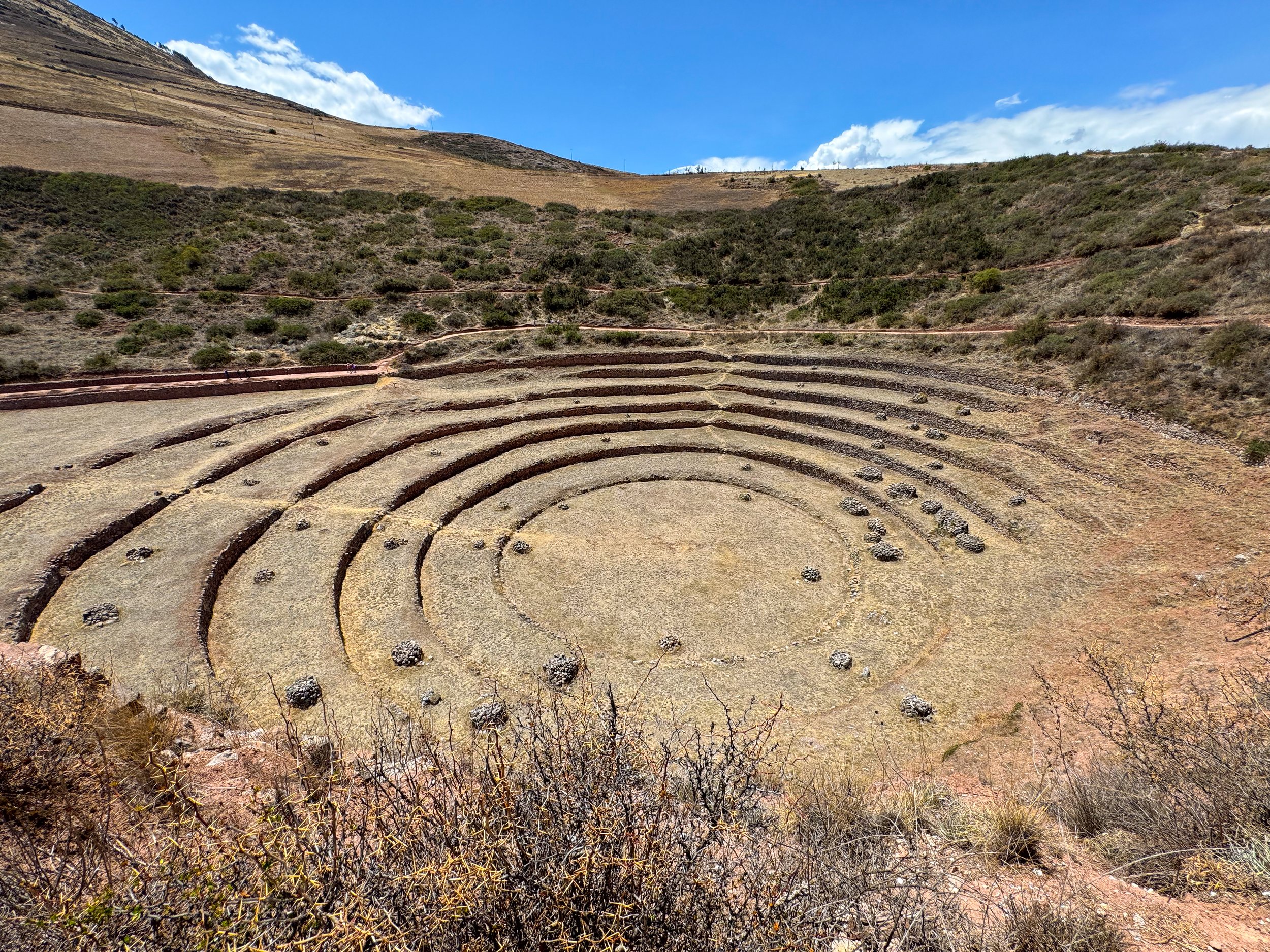
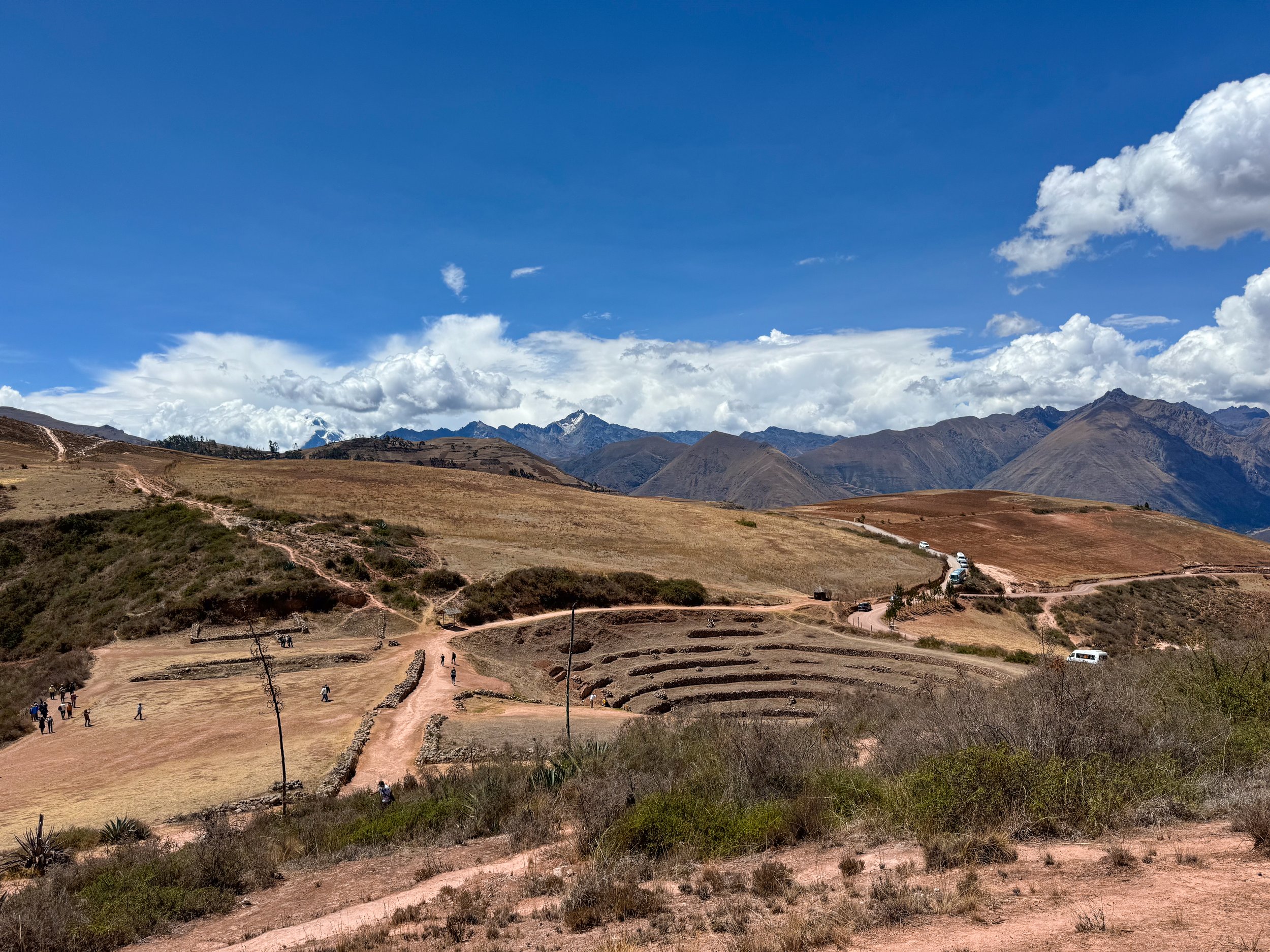
Moray Terraces
The Moray Terraces are series of circular and organic agricultural terraces built into a mountain valley by the Incans to test crop production. We walked around the terraces, following a series of trails that weave through them with views of the snow covered Andes Mountains in the background. The largest terrace is restored while the two small ones remain ruins.
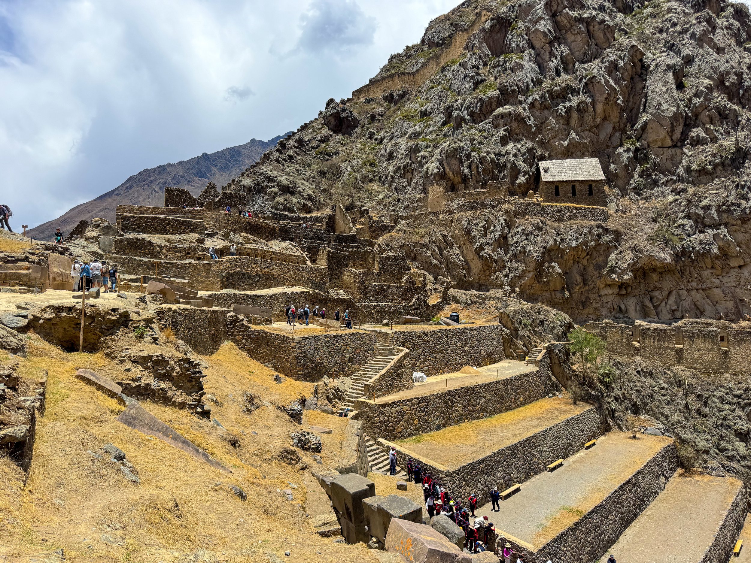
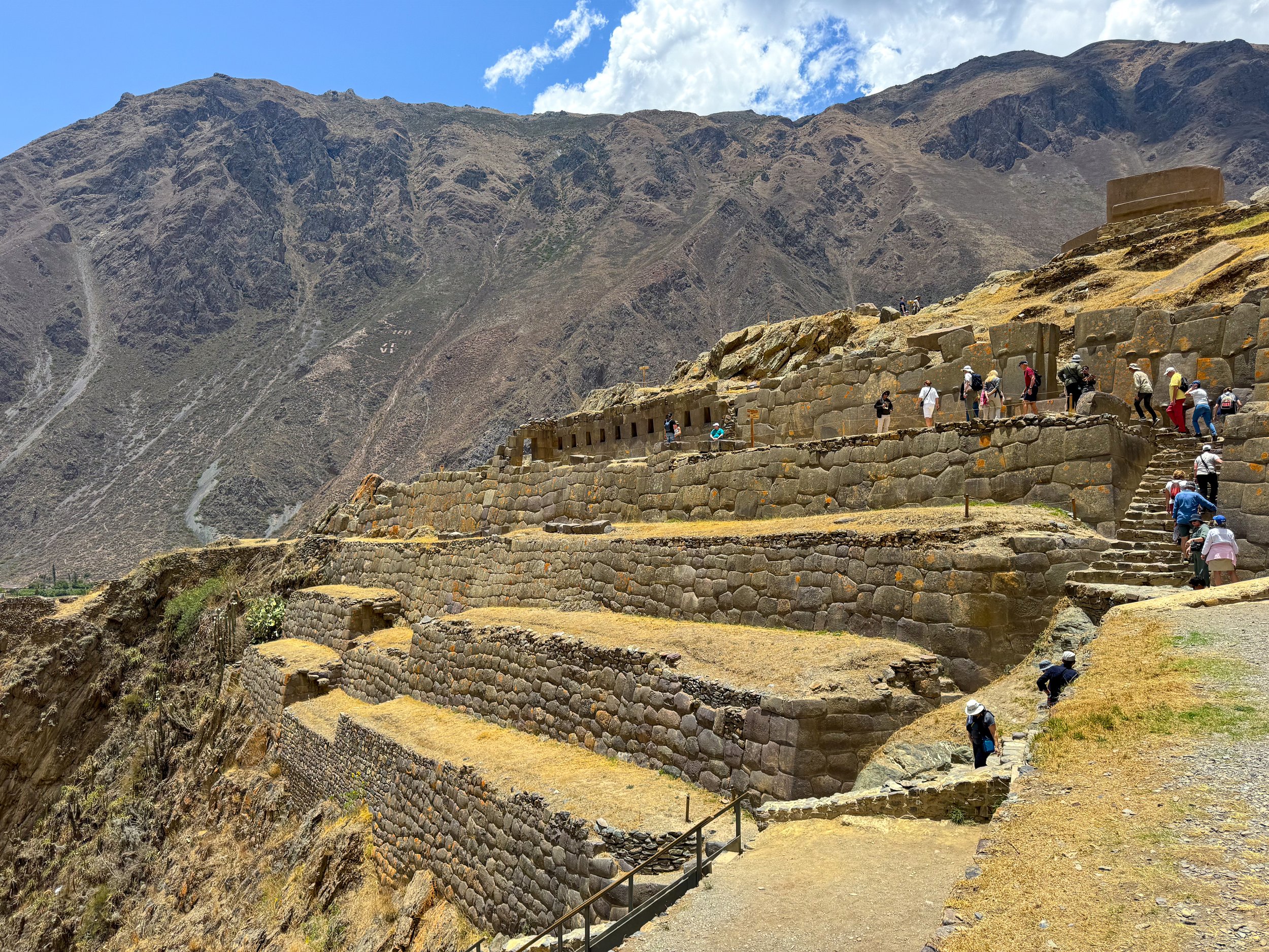
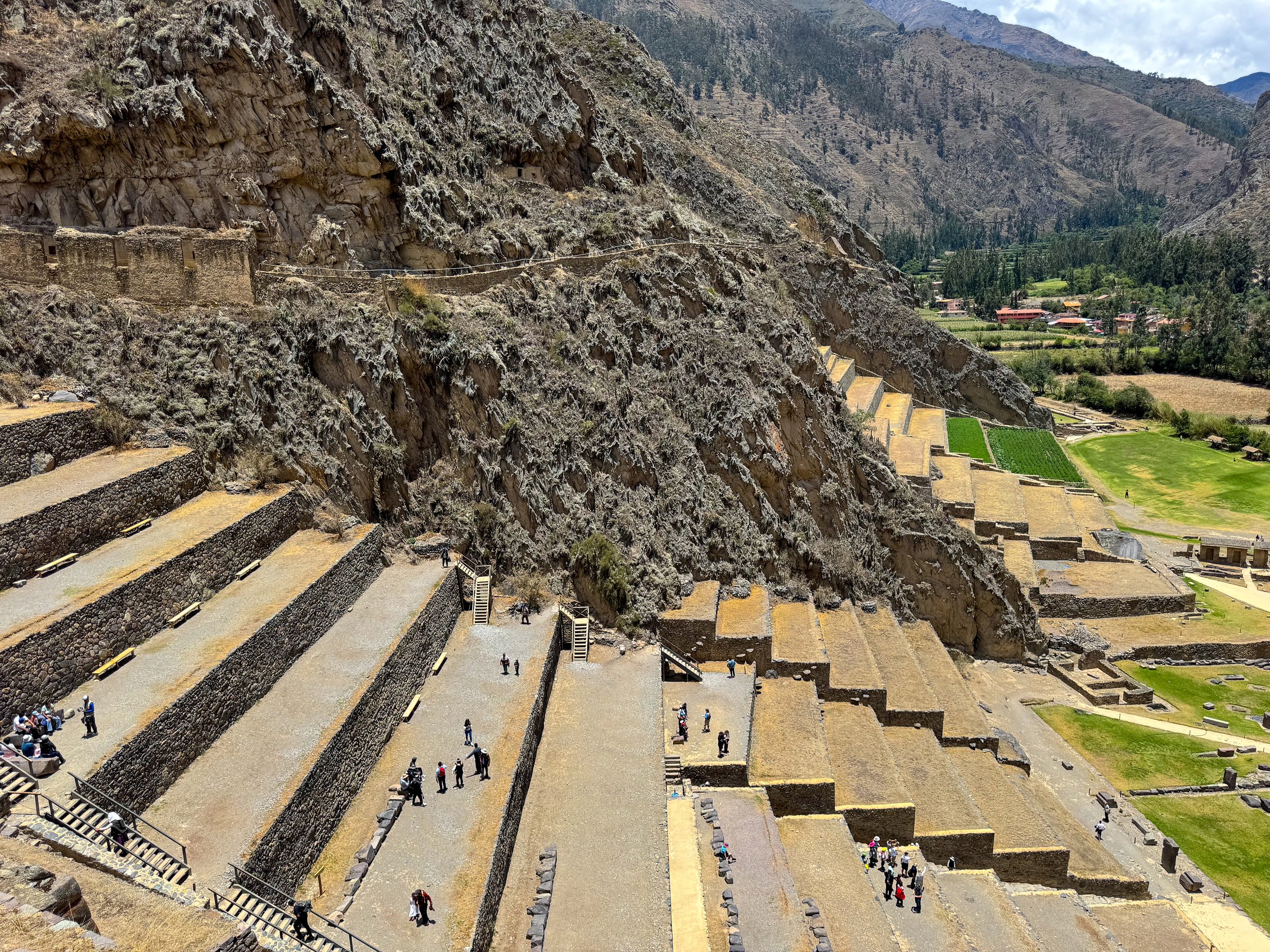
Ollantaytambo
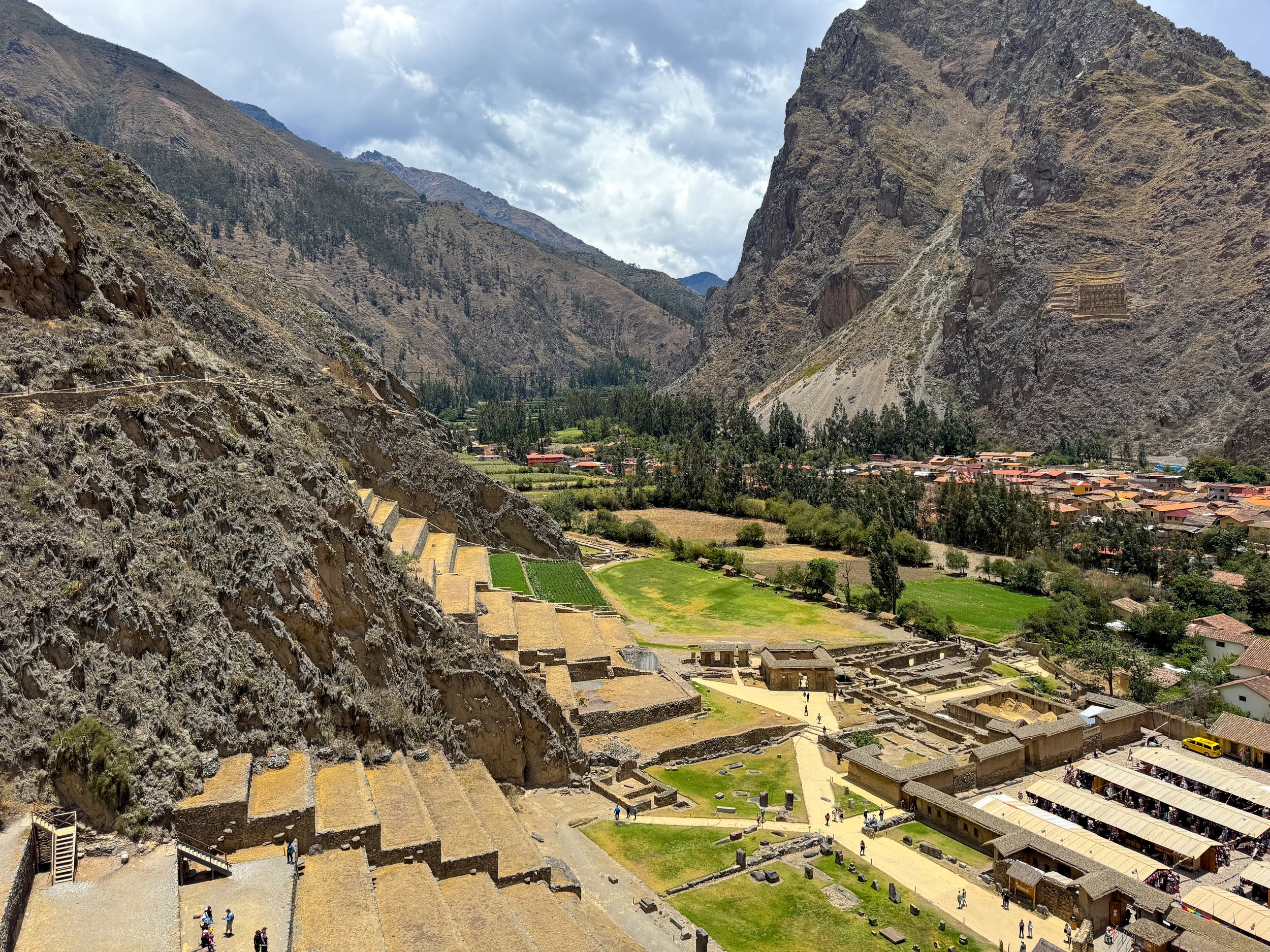
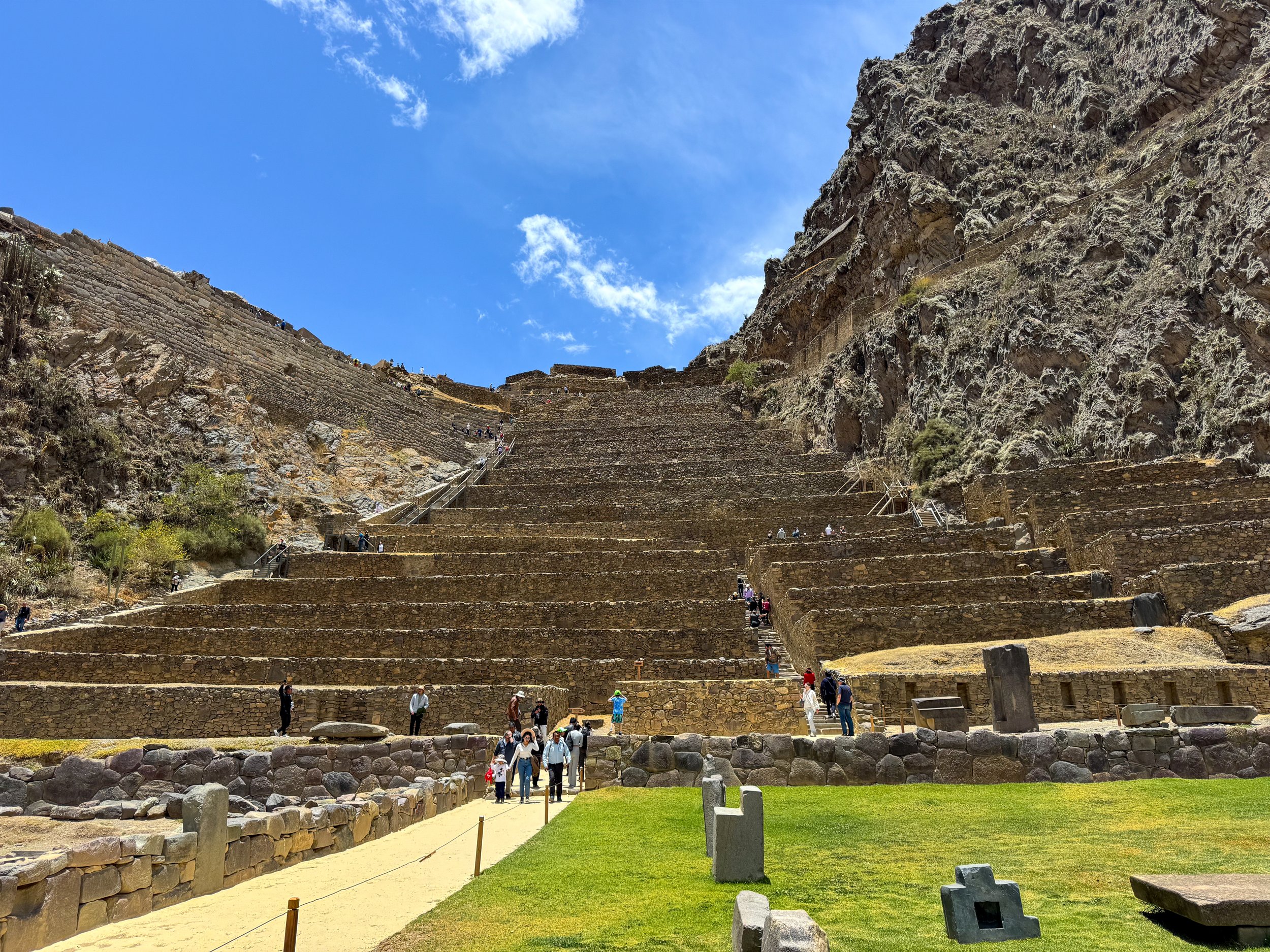
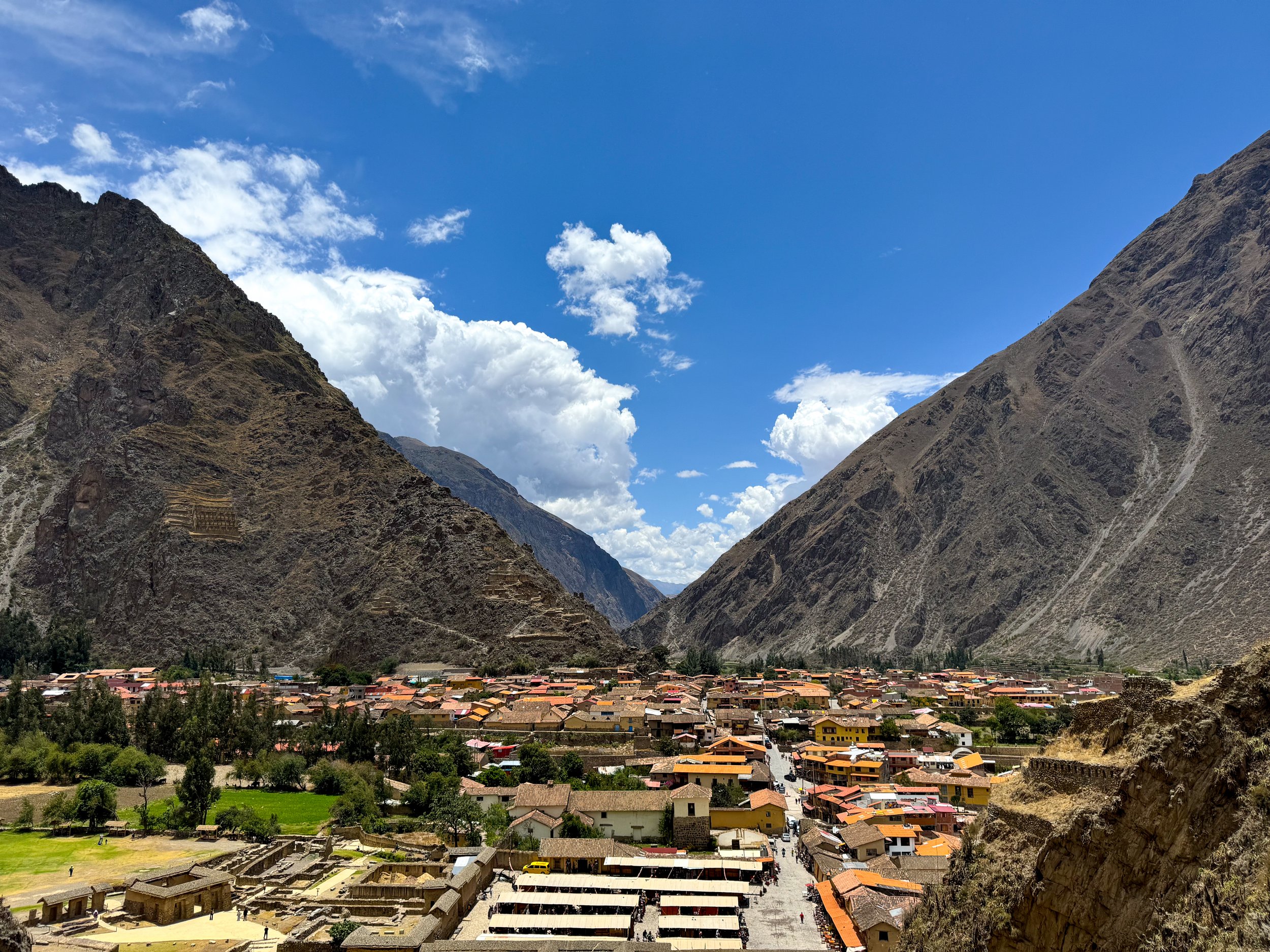
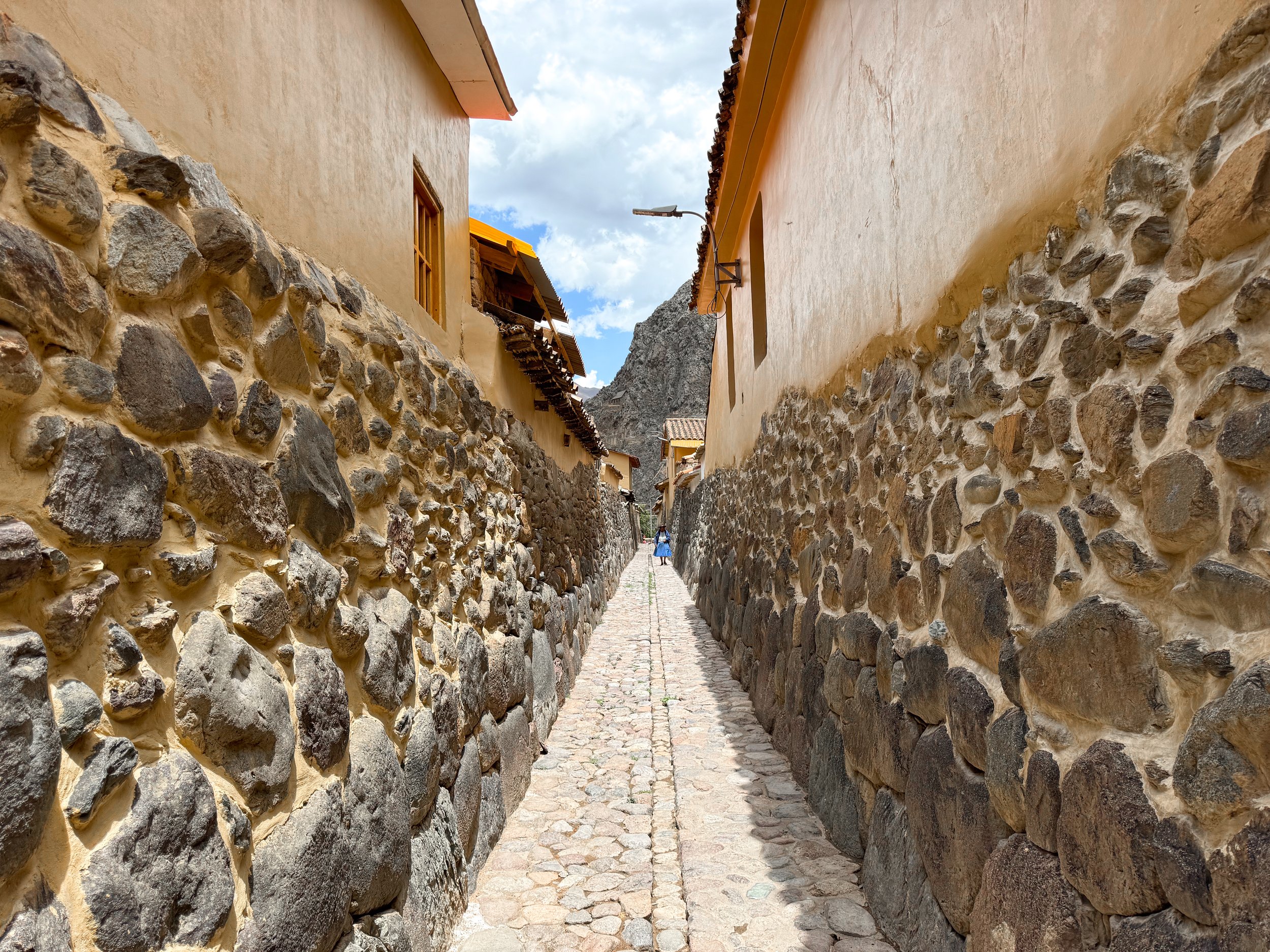
Ollantaytambo is an Incan city built into the valley and up the mountainside with large agricultural terraces, grain storage buildings, a temple dedicated to the worship of the sun and winding hiking trails. We explored the ruins, hiking up the terraces to the Temple of the Sun and through the city. The stone roads, walls and irrigation canals from the Incan city remain and have been built upon by modern day Peruvians. The town has many hostels, restaurants, cafes and textile shops.
Ñaupa Iglesia
Ñaupa Iglesia is a hidden temple located above a terraced agricultural slope on the side of the mountain near Ollantaytambo. We hiked the terraces to a hidden temple with a niche and throne carved into the rock protruding from the entrance of a cave.
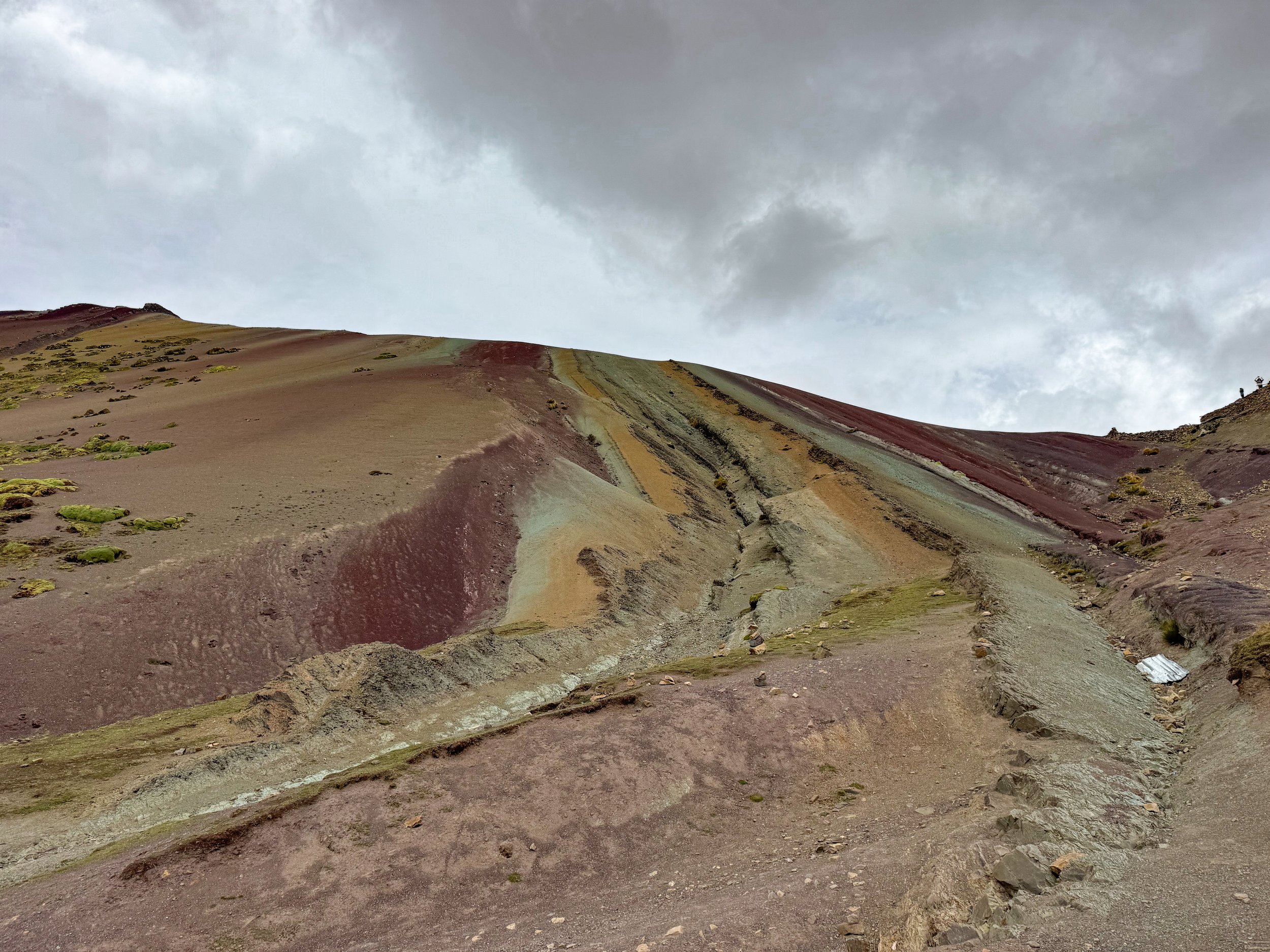
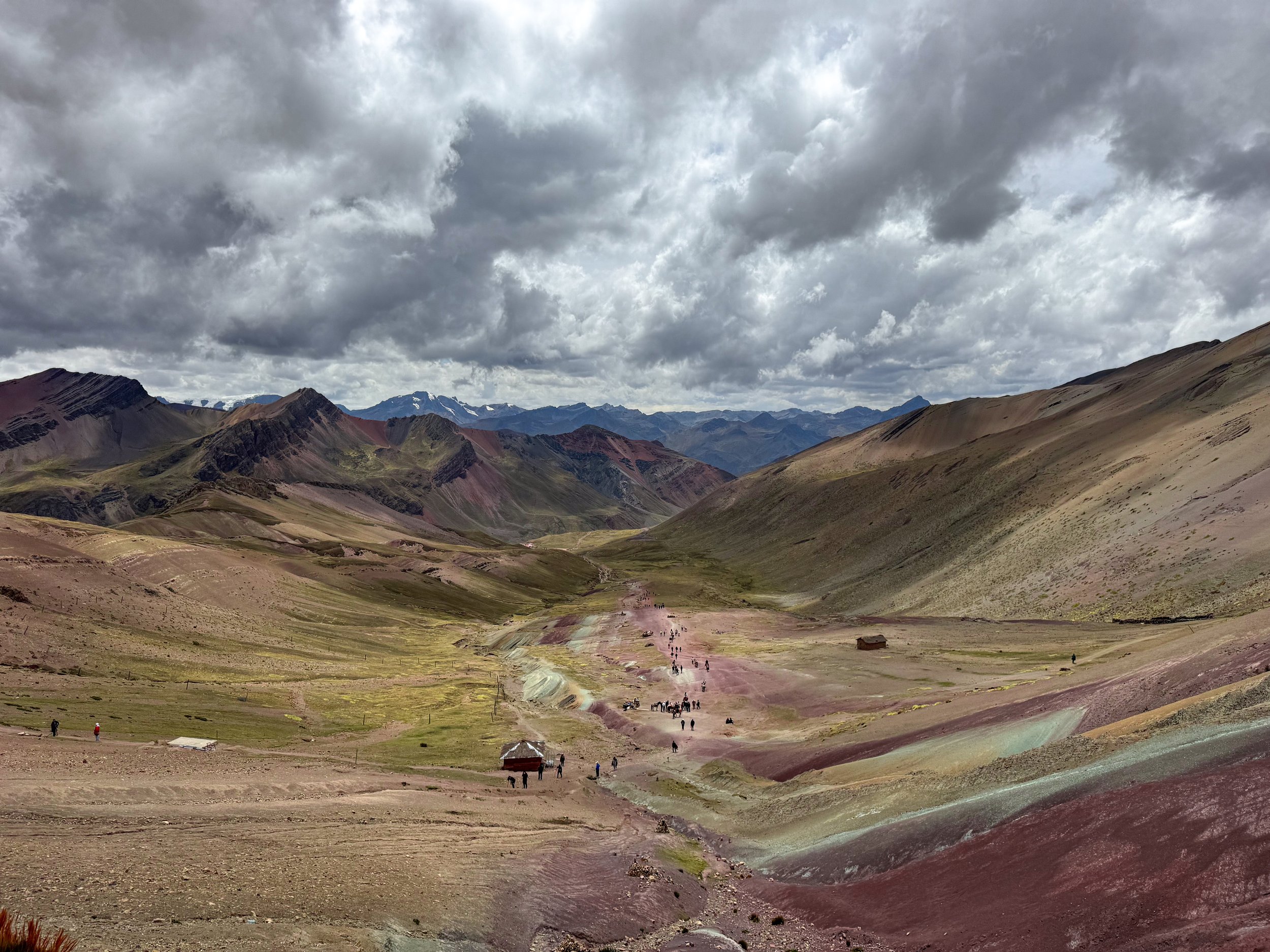
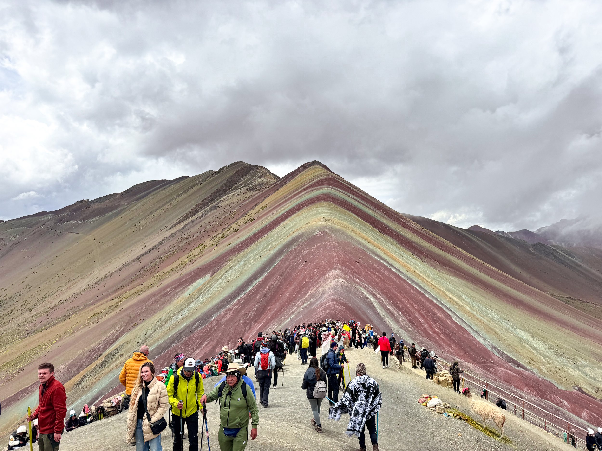
The Rainbow Mountain & Red Valley
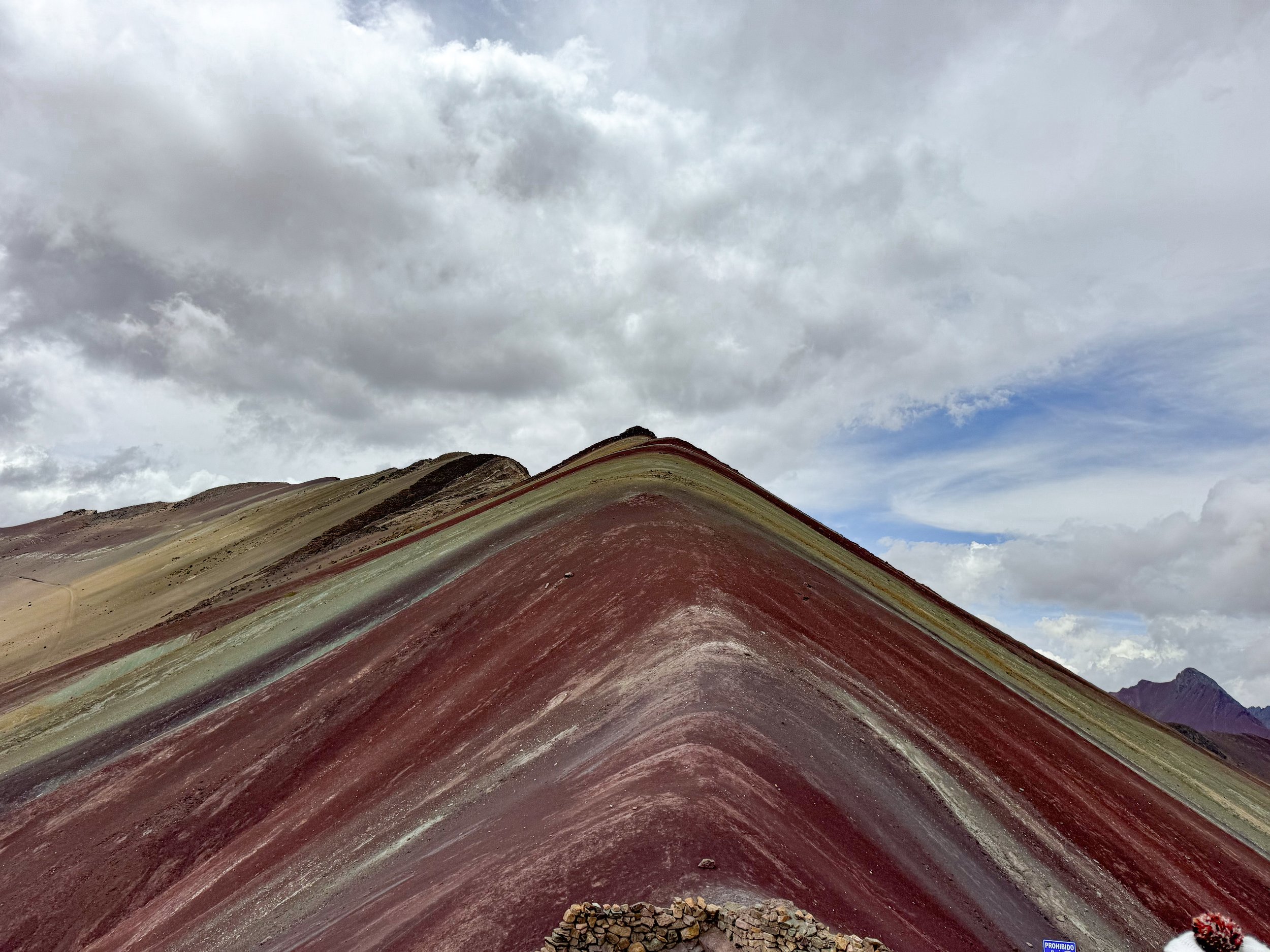
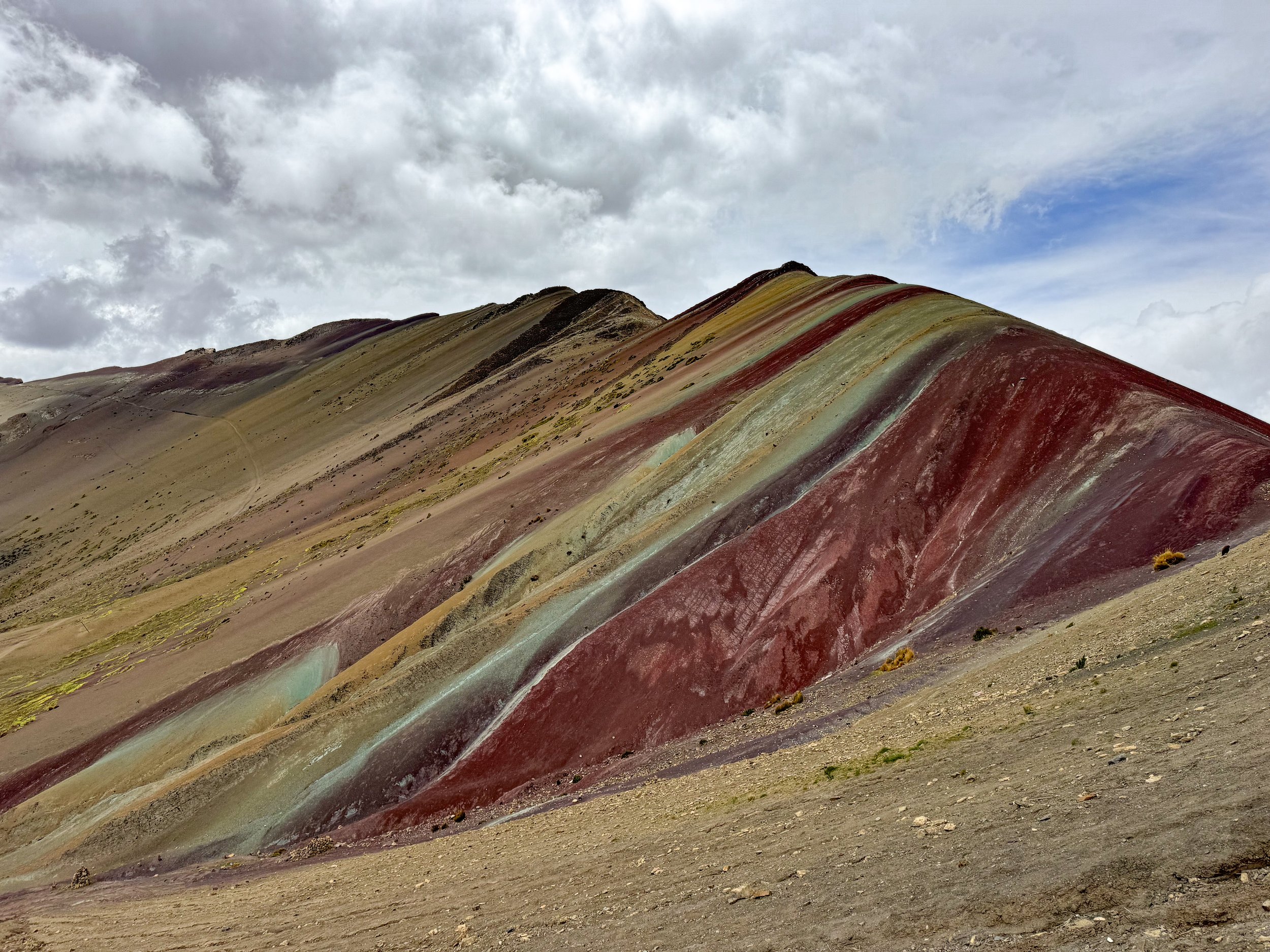
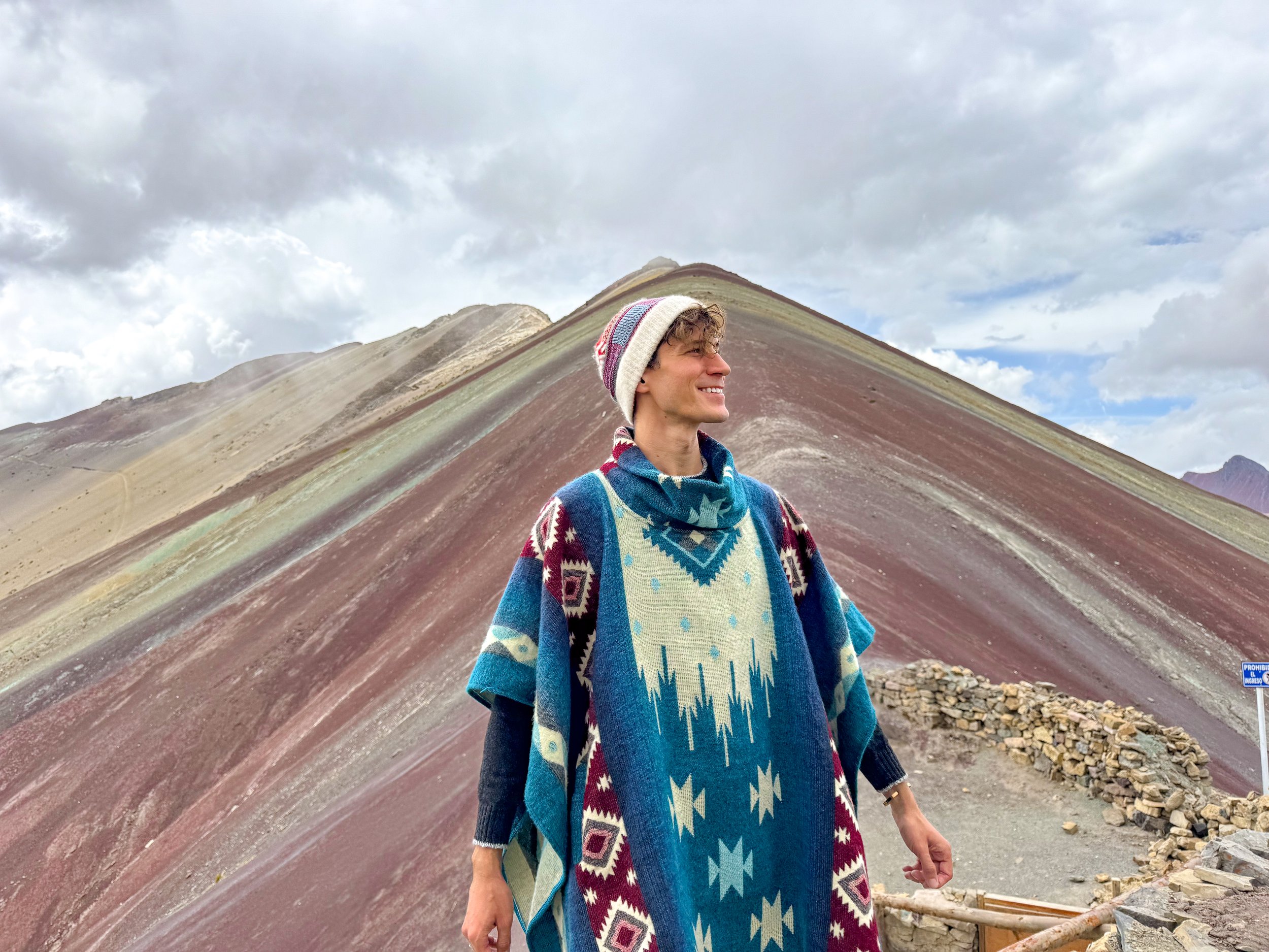
The Rainbow Mountain & Red Valley are two recently discovered geological rock formations In the Peruvian Andes with vibrantly colored sediment.
The Rainbow Mountain
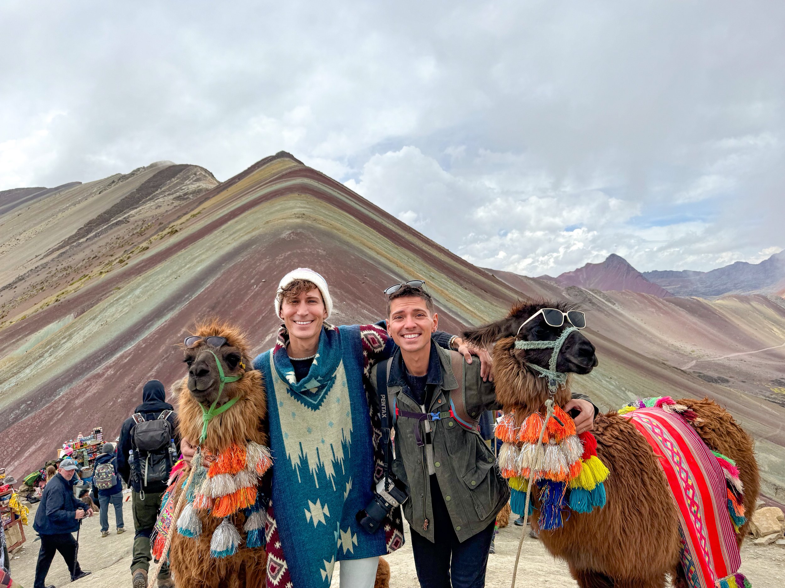
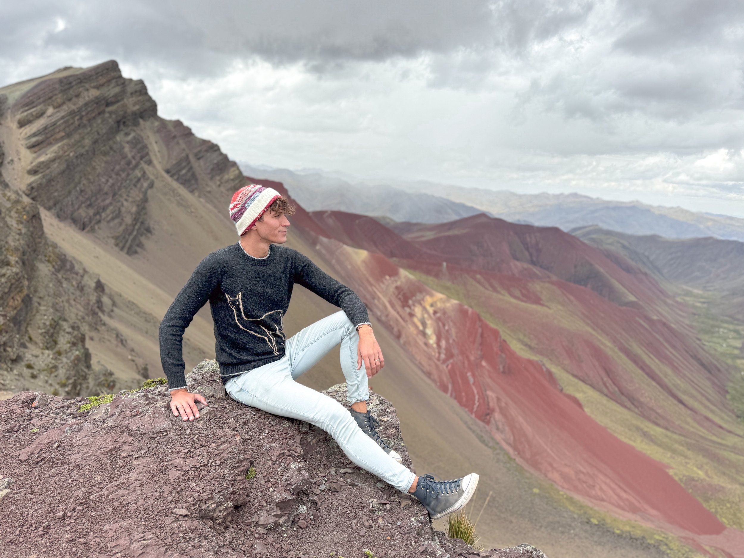
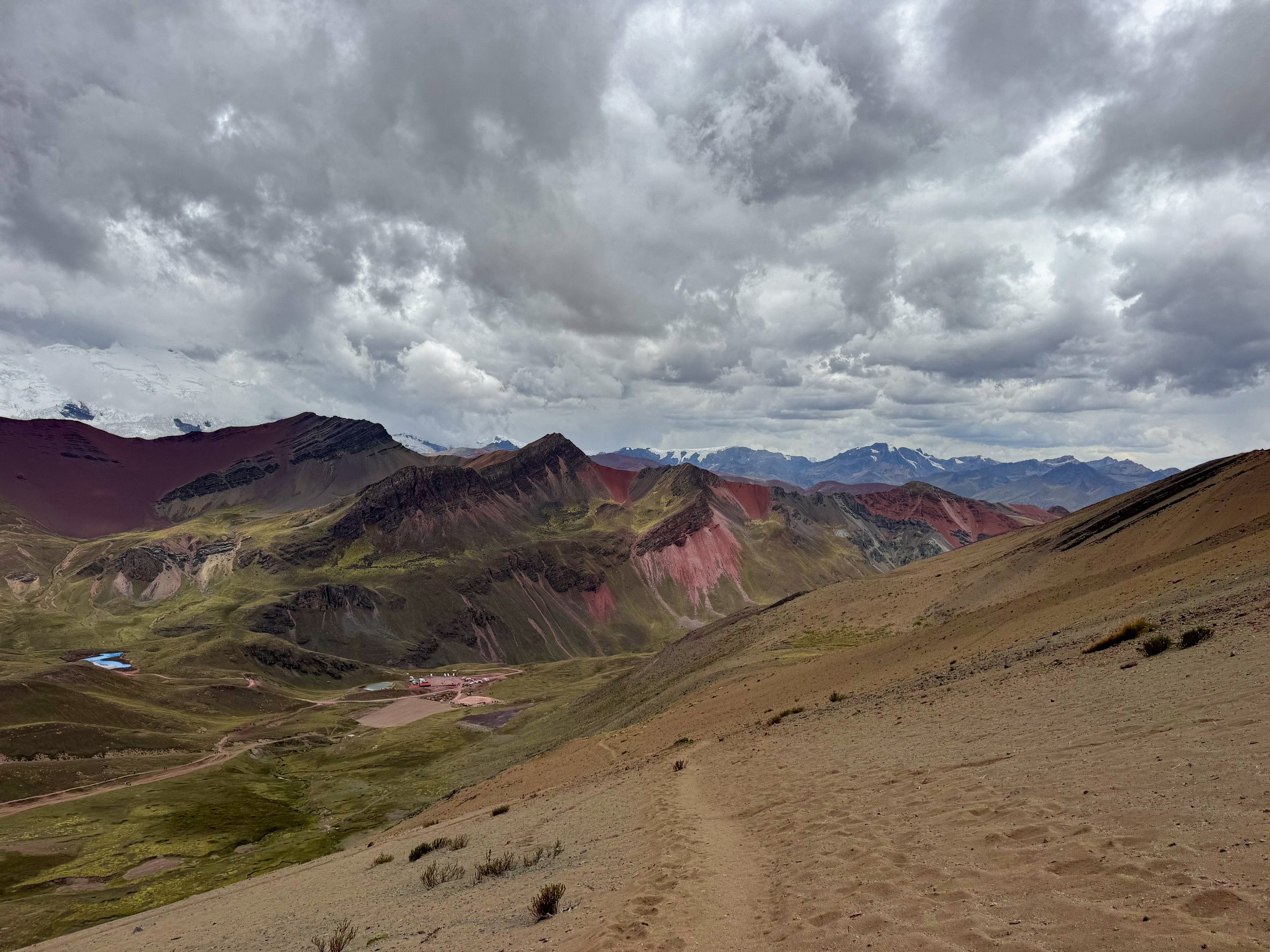
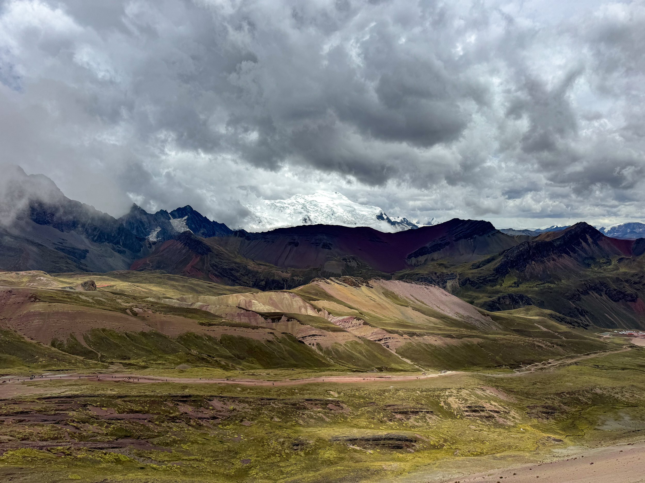
The Rainbow Mountain is a remote mountain in the Peruvian Andes with bands of oxidized minerals creating a rainbow effect in the soil. The view from the mountain’s summit is awe inspiring! At 5,036 meters (17,060 feet), the summit has views of the rainbow bands, moss covered valley and distant snow capped Andean mountains. It’s a popular destination with thousands of visitors per day coming to overlook the landscape. There are indigenous Peruvians with pairs of colorfully accessorized llamas posing for photos for a small donation.
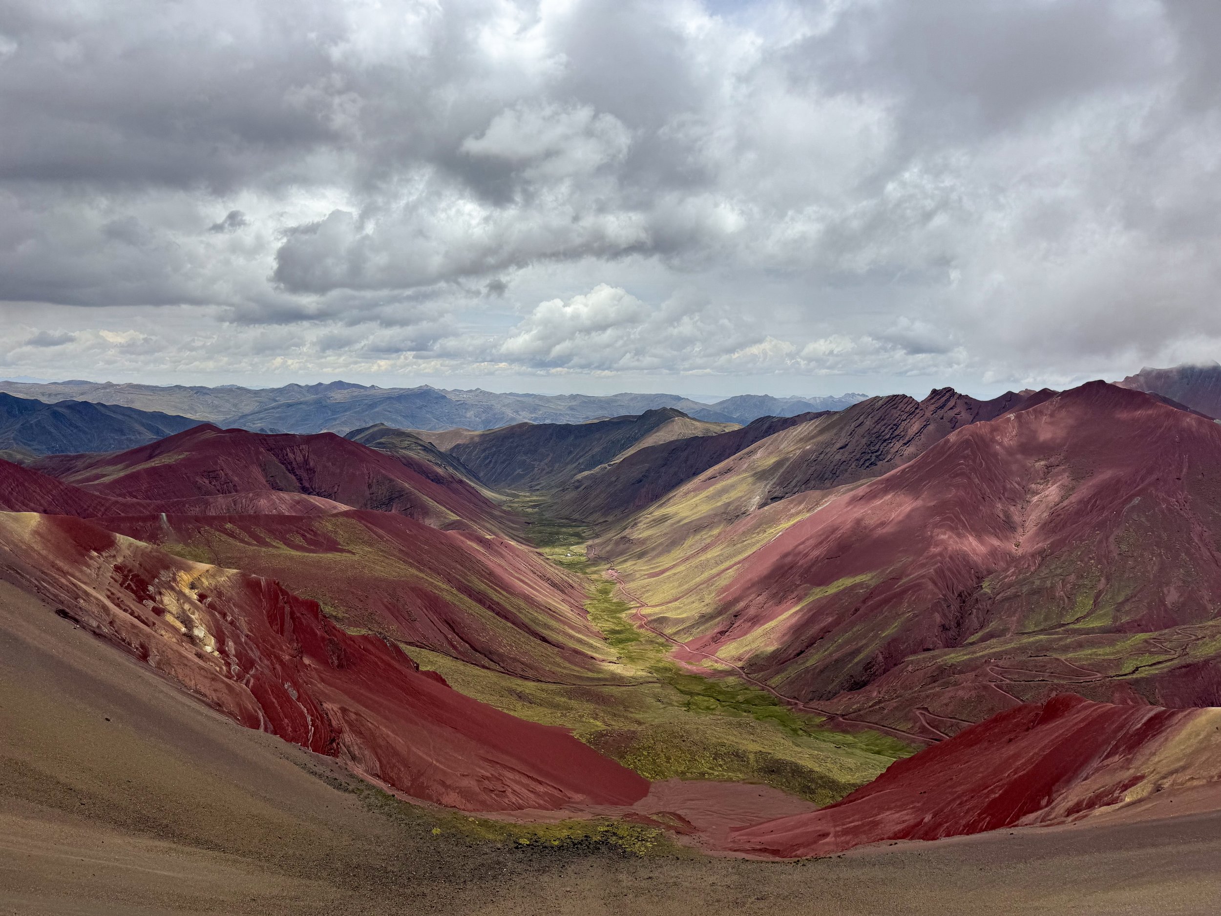
The Red Valley
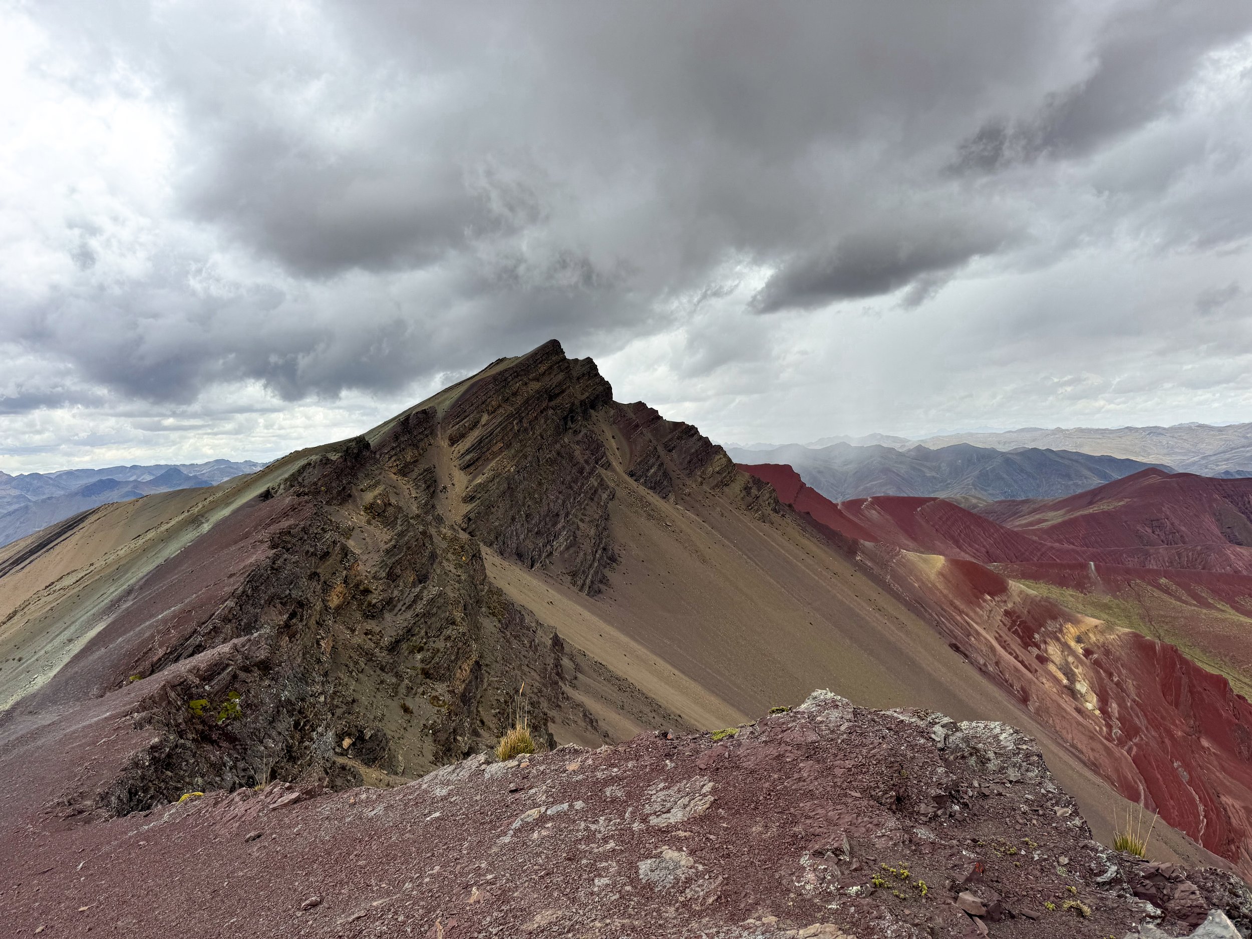
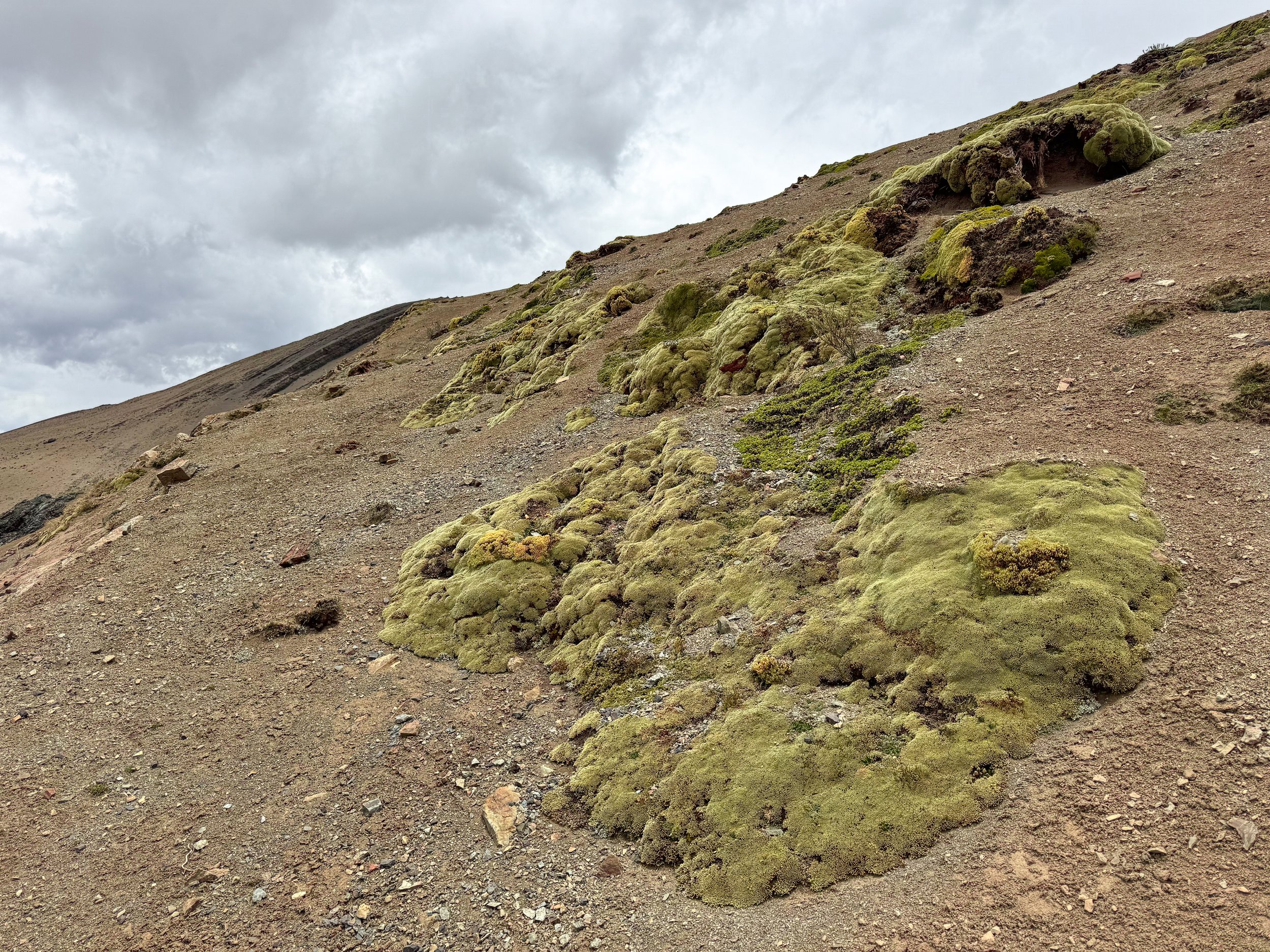
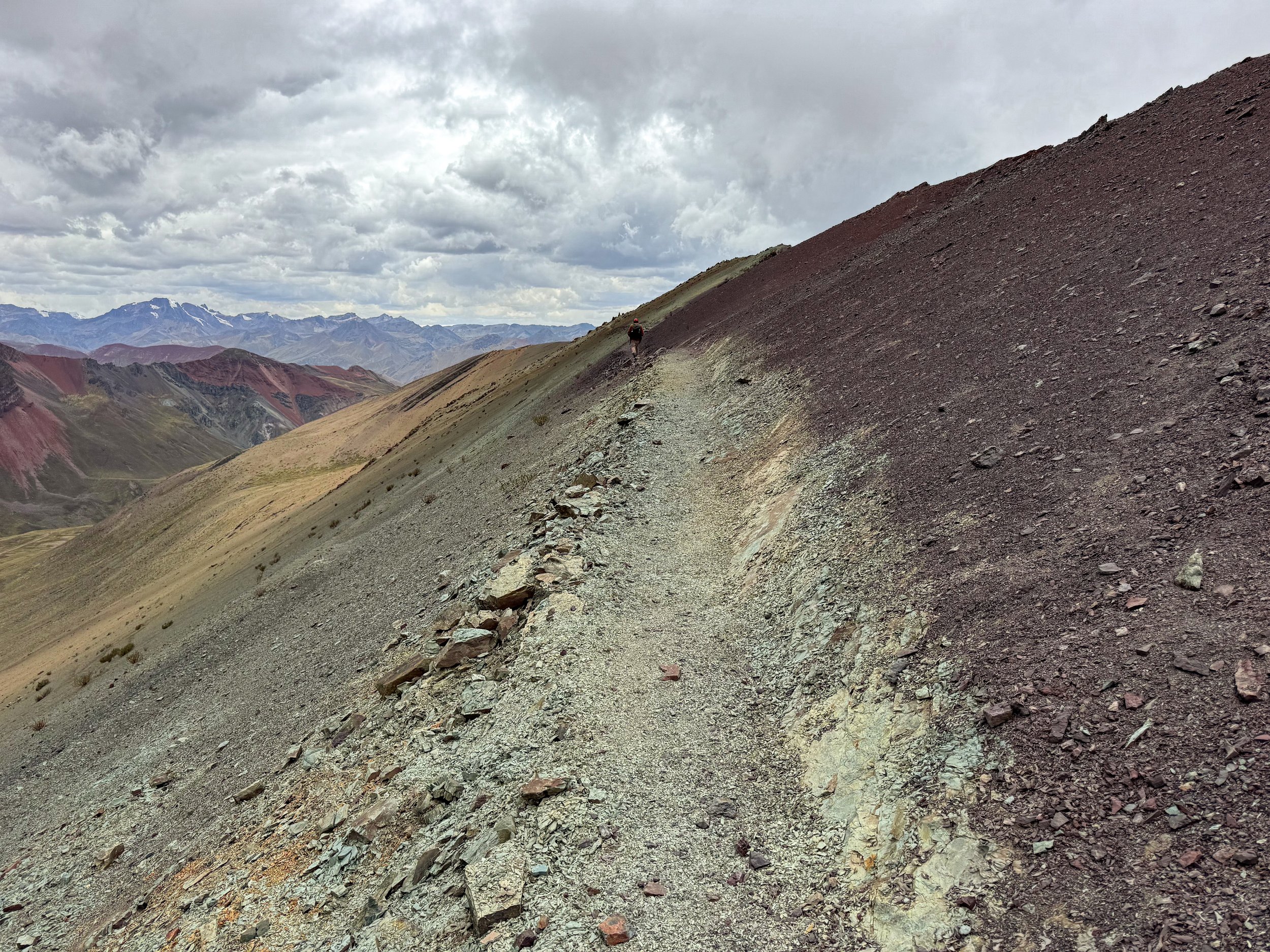
The Red Valley is a valley with blood red soil and green moss spanning between two mountains on the other side of the rainbow mountain. The panoramic view from the crest overlooking the valley is a surreal experience that left us feeling tiny compared to the surrounding world. Along the trail, we passed colorful stones, vibrant green moss and observed magnificent views of the mountains and glaciers. It is far less touristy with less than a dozen visitors.
Getting Here: We visited both the Rainbow Mountain and Red Valley on a small group guided tour from Cusco. It included transportation, breakfast and lunch. Starting at 4:30am, we drove from Cusco high into the Andes along narrow switchback roads, past terraced fields and countless llamas to reach the trail head. It took a 45 minute to hike uphill to reach the Rainbow Mountain and 25 minutes further to reach the Red Valley. We felt good enough to hike the trail but for those with altitude sickness, there are horses, motorbikes and quads for hire. Book here!
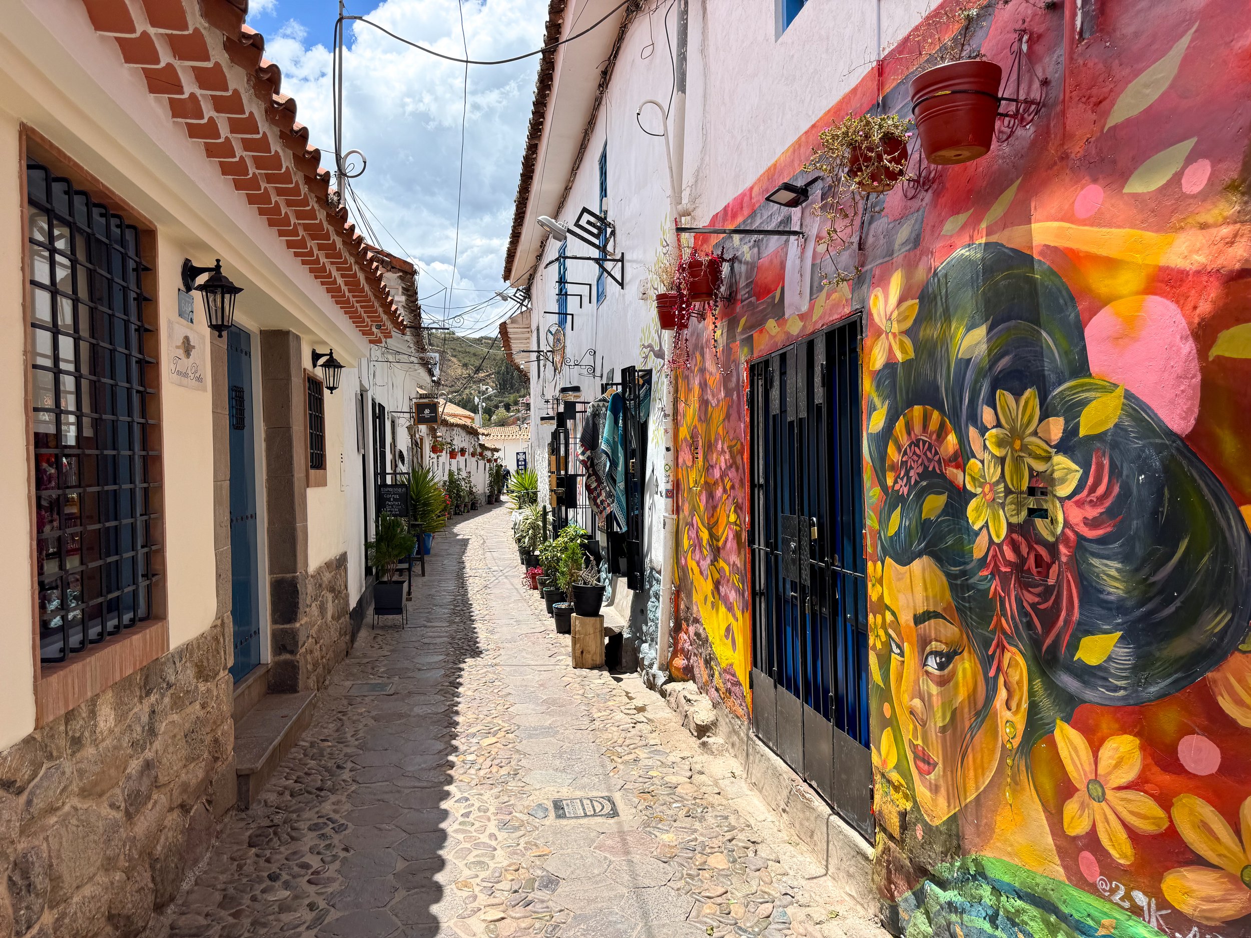
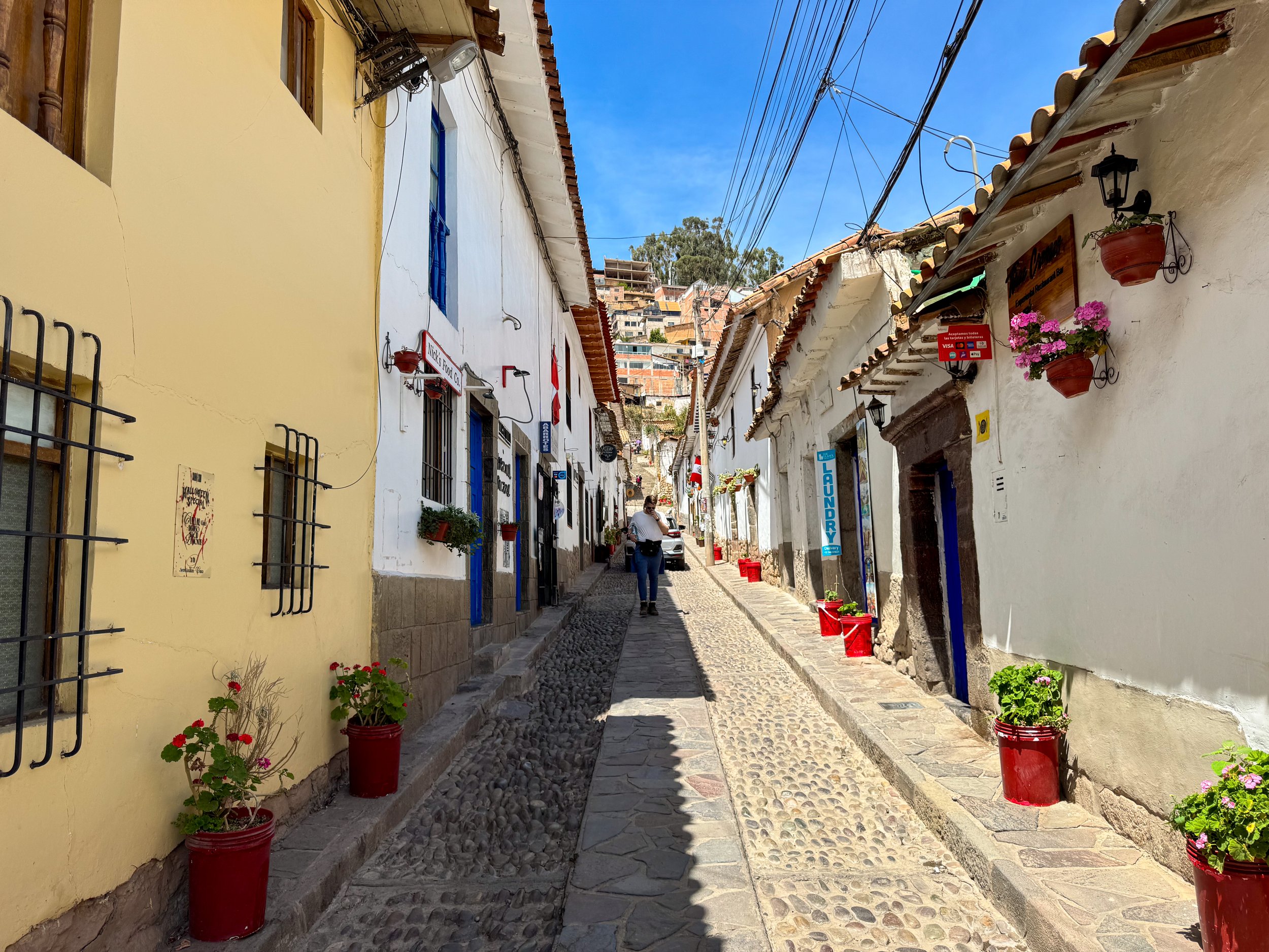
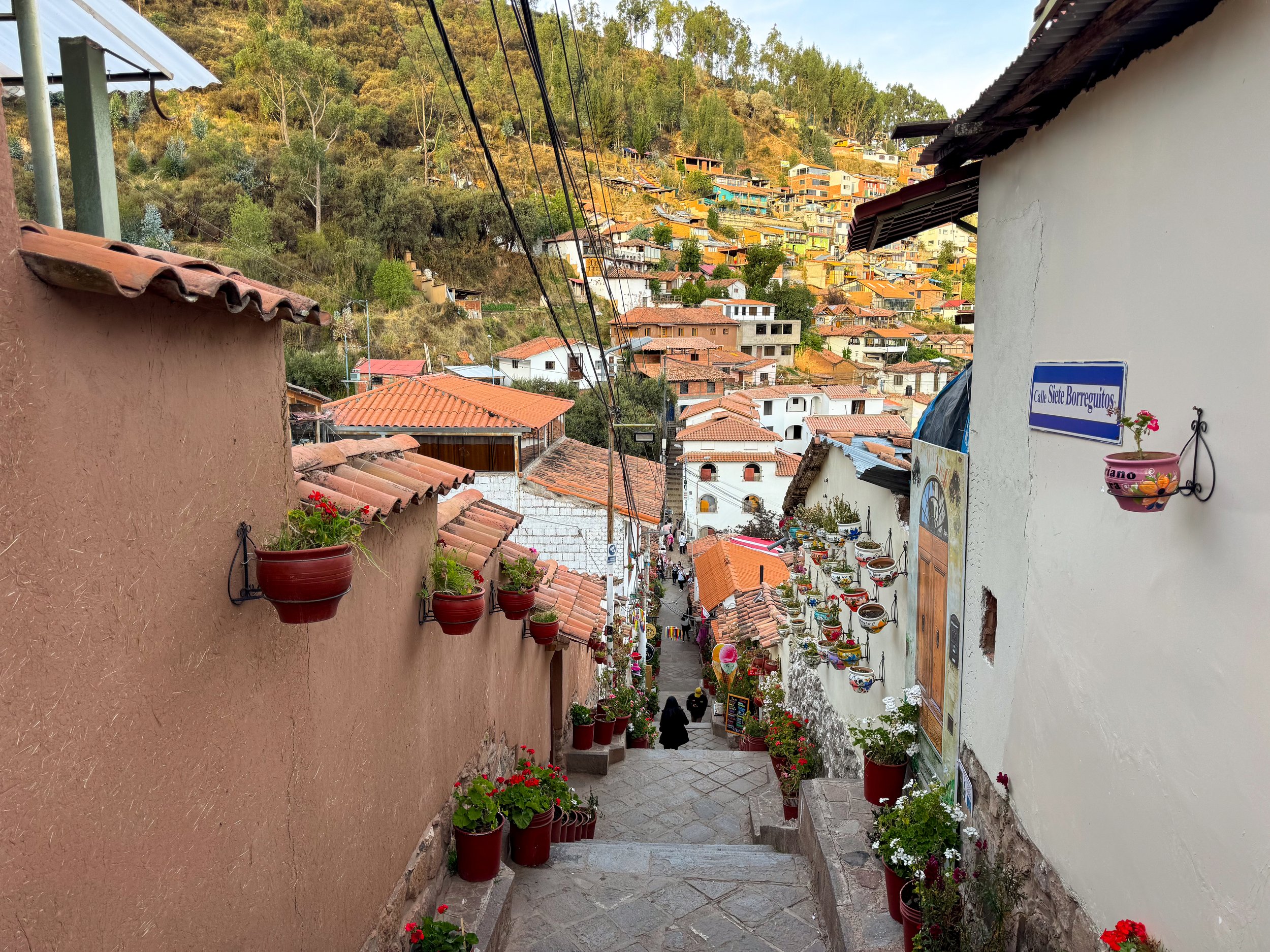
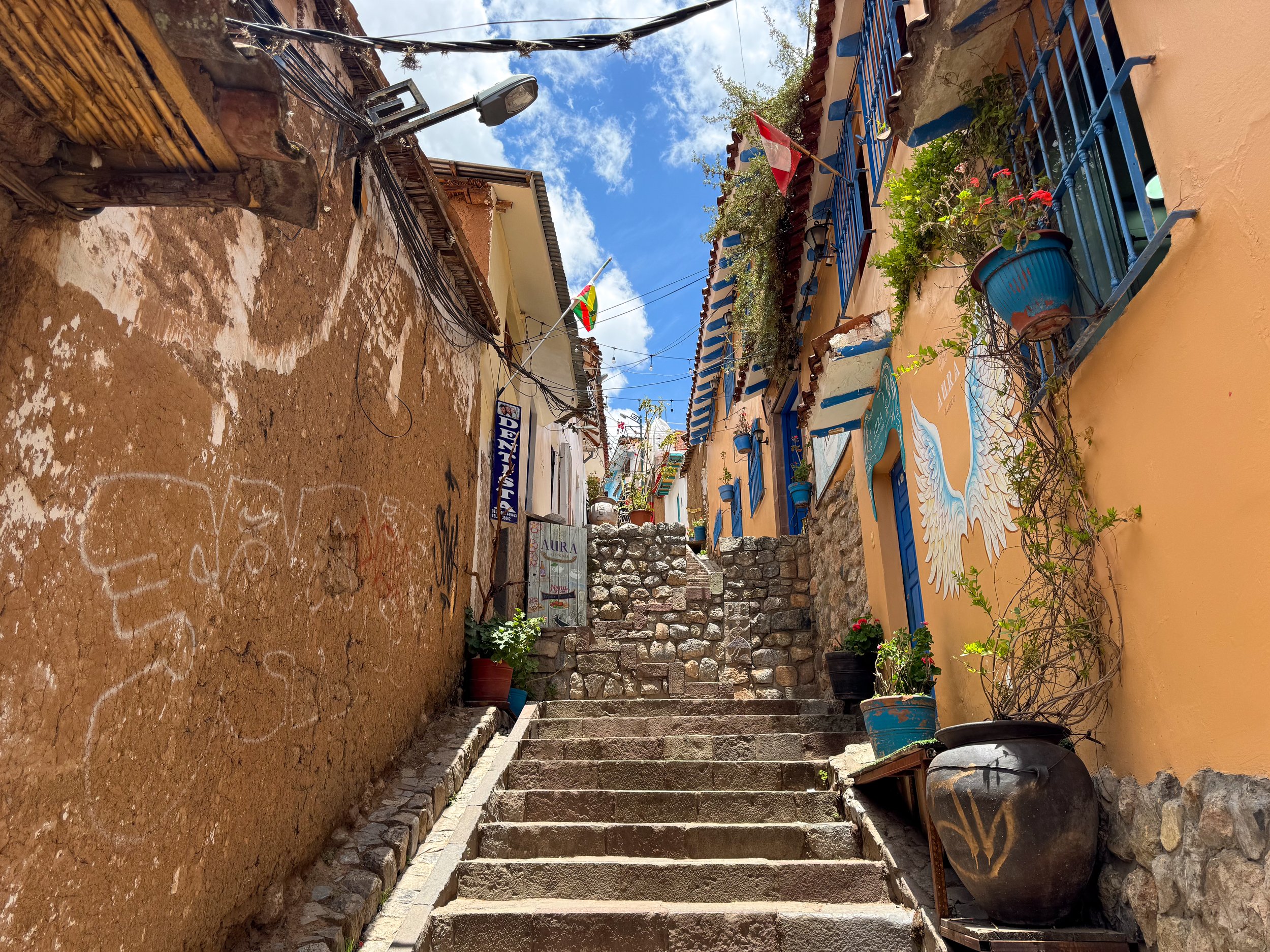
Cusco, Peru
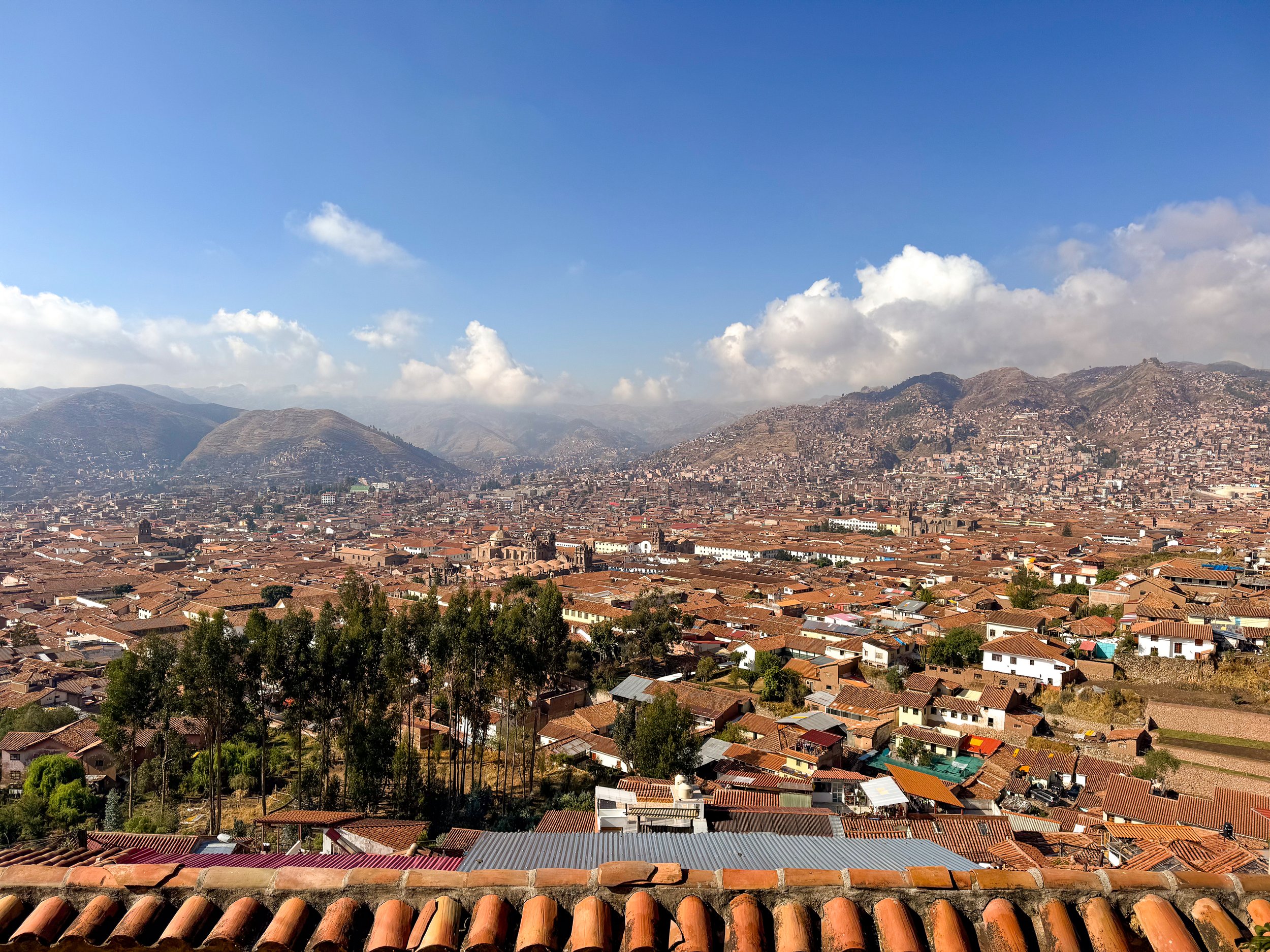
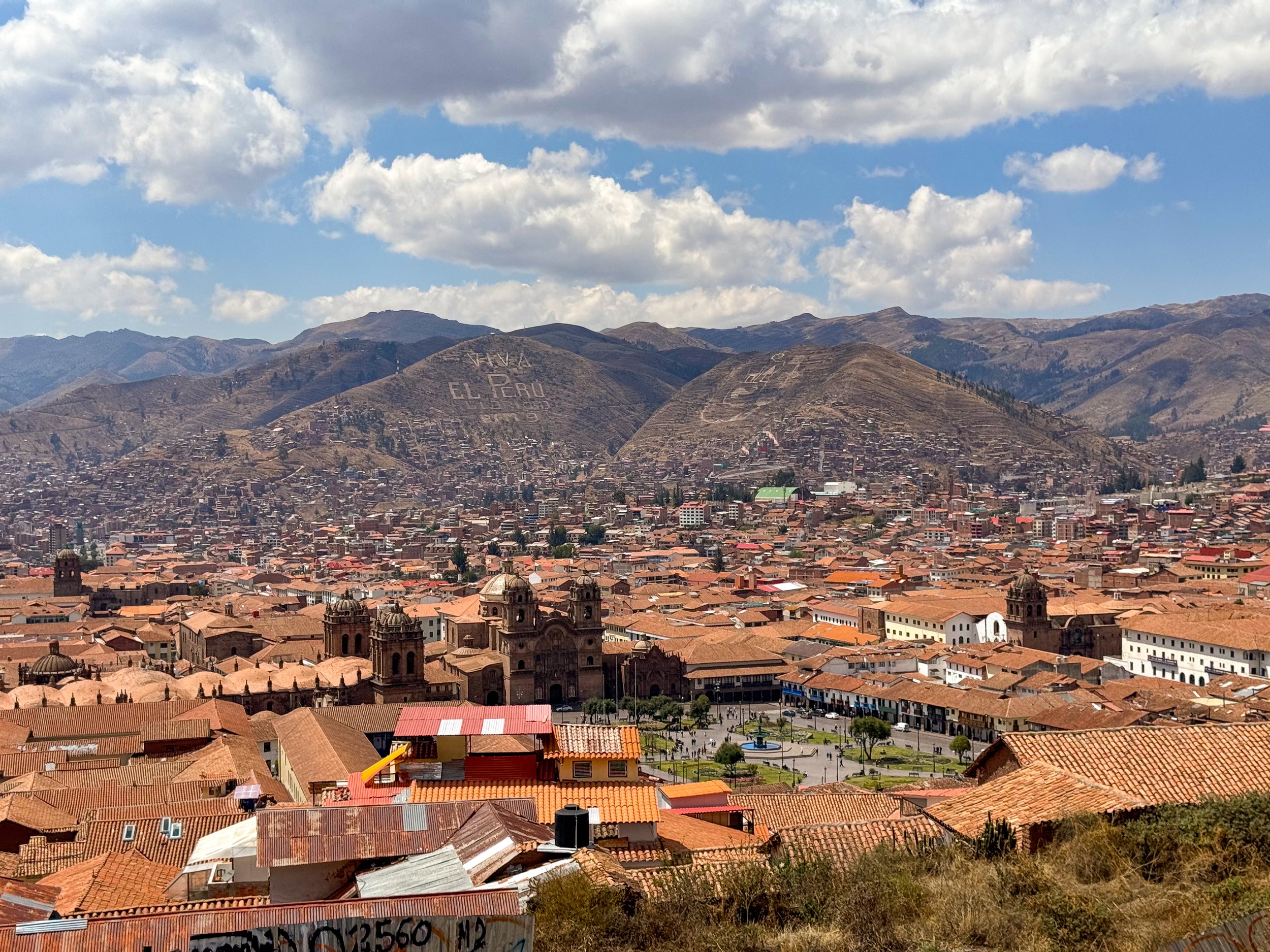
Cusco is a modern city at the heart of the Incan Empire in Andes Mountains with archeological ruins, historic neighborhoods, museums and beautiful landscapes.
Neighborhoods
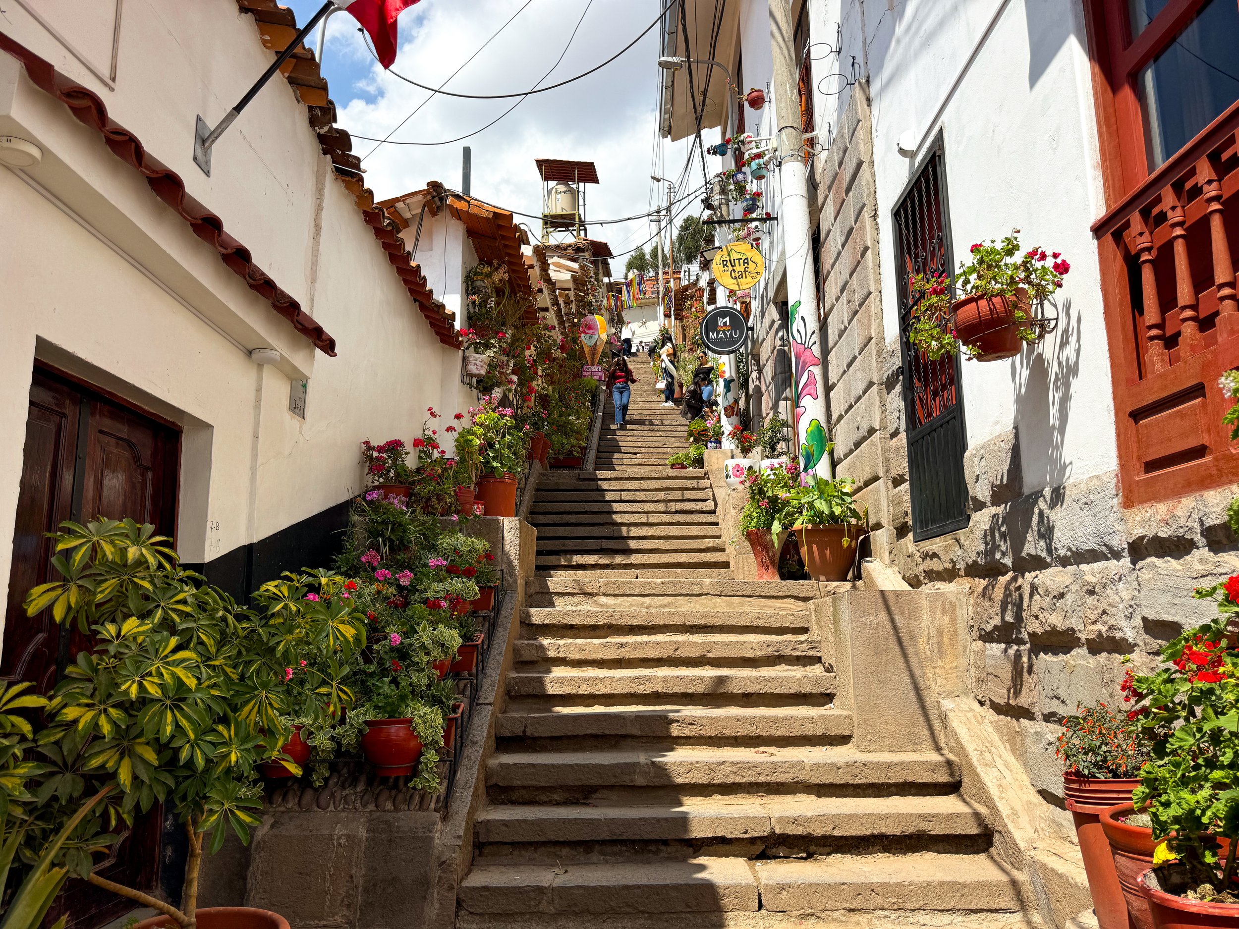
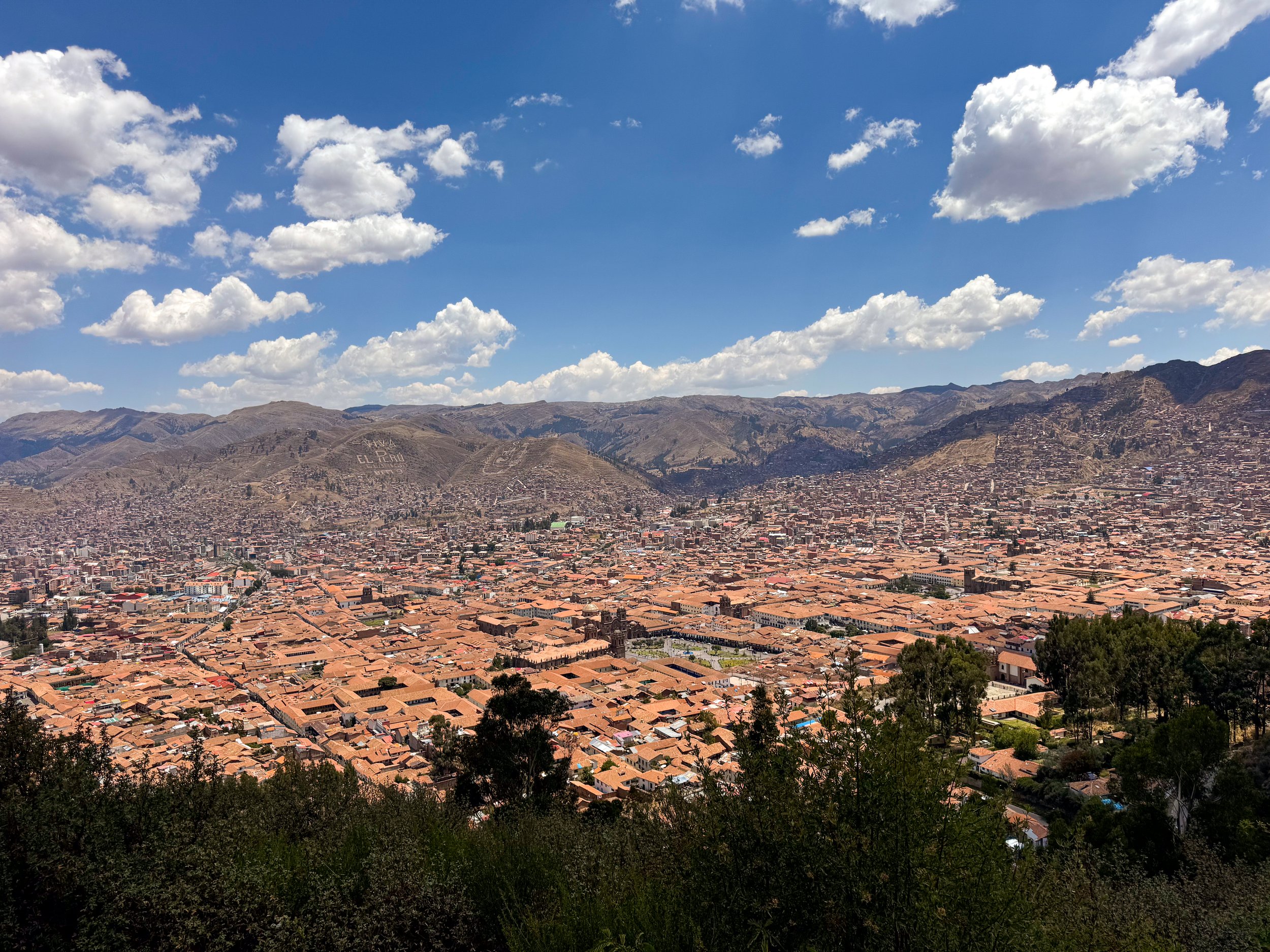
San Blas Neighborhood. A trendy yet quiet neighborhood with ancient Incan roads, steep staircases and narrow cobblestone streets home to a variety of cafes, restaurants, boutiques, art galleries, tattoo shops and small convenience stores. Many of the buildings are painted white with blue wooden doors, wall hung planters and vibrant murals. The neighborhood is close to several Incan ruins, the central plaza and has panoramic views of the Cusco Valley, its clay tiled roofs by day and twinkling lights at night.
Coripata. A bustling local neighborhood, you won’t spot another tourist here! There are women selling boiled quail eggs, fresh juice, wheel barrels and blankets with fruit, fried plantain chips and ice-cream from carts.
Santa Catalina. A quieter local neighborhood with an arch along its main road, chain hostels, stray dogs and city views. There’s not much going on in terms of restaurants, cafes, bars or nightlife.
Centro Historico. The central neighborhood of Cusco is home to the grand plazas, large stone cathedrals, historic architecture, Peruvian restaurants, clothing shops, souvenir stores and hotels. It’s a touristy area with peddlers calling you into their restaurants, trying to sell something or offering massages.
Incan Ruins
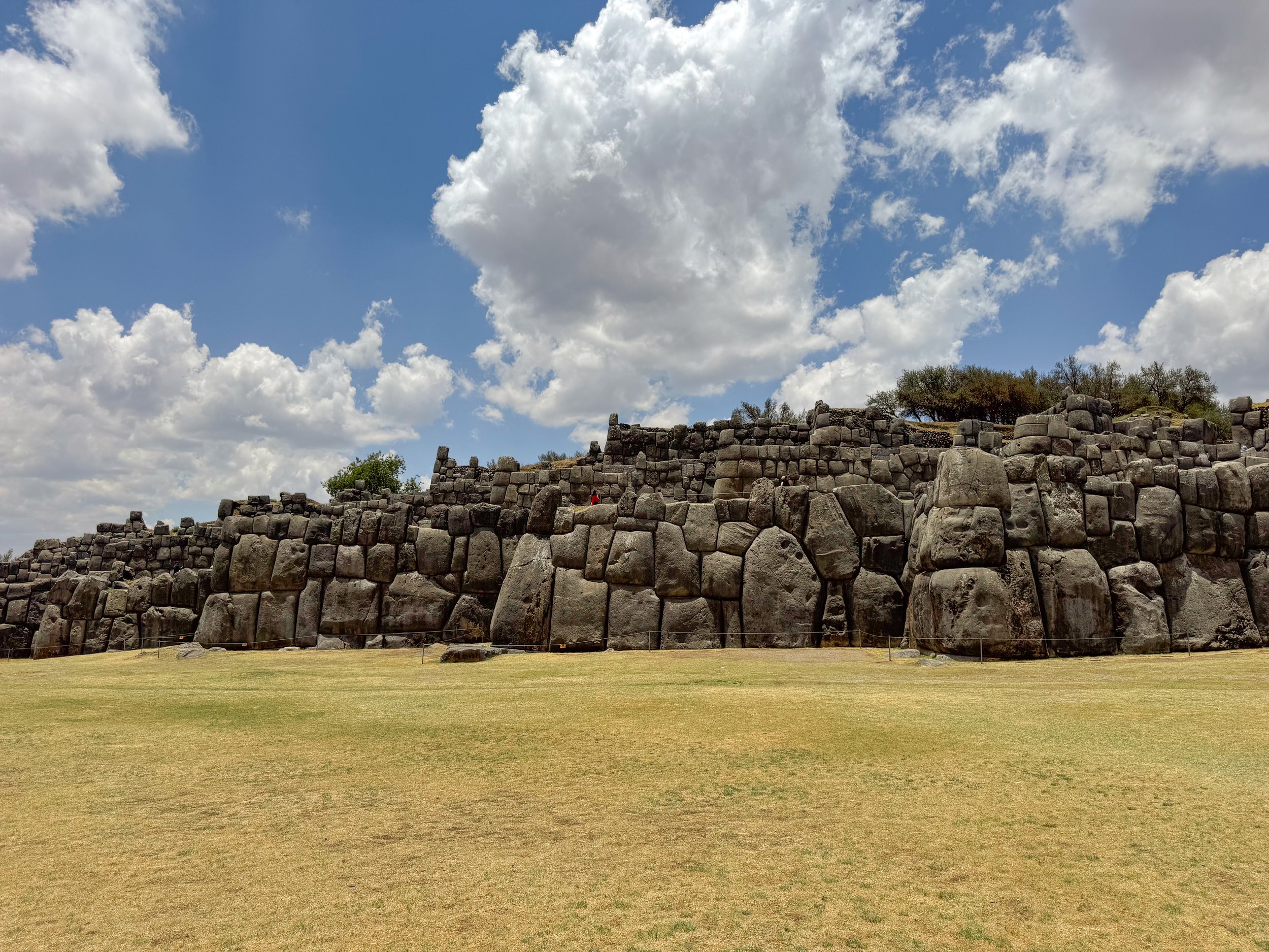
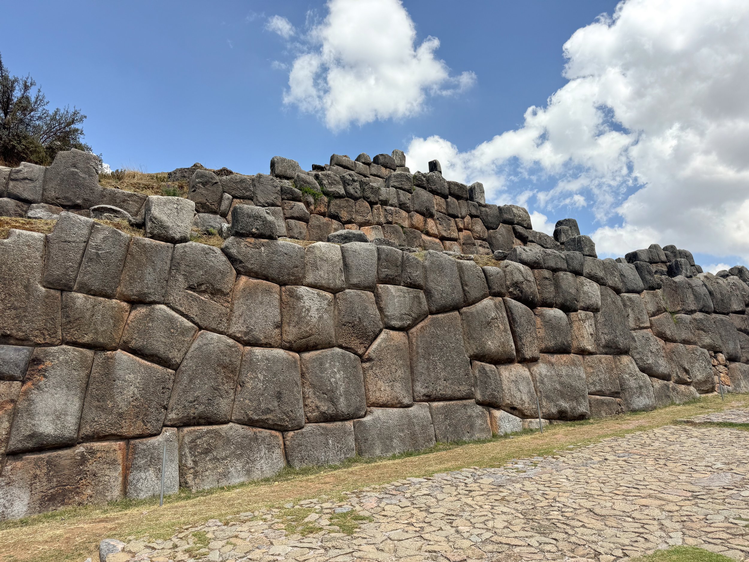
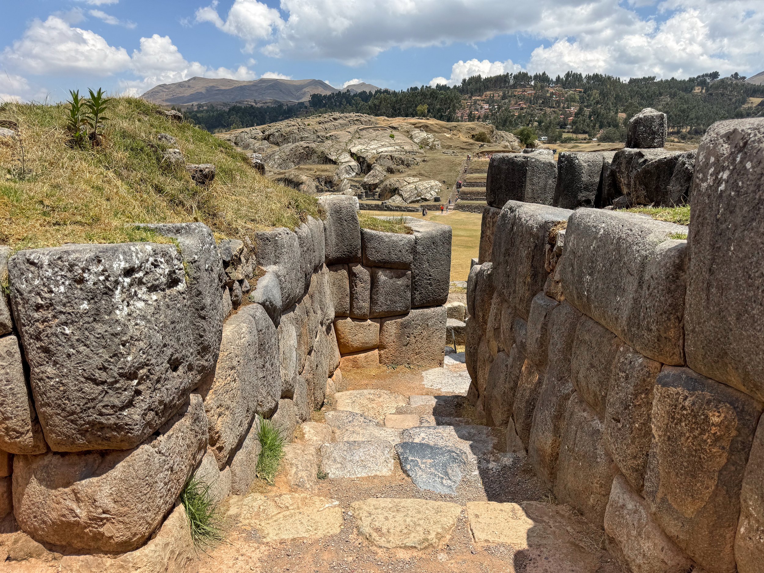
Cusco, the center of the Incan Empire is home to numerous ruins, ancient stone streets and former temples. We walked across the city visiting several of the sights during our stay.
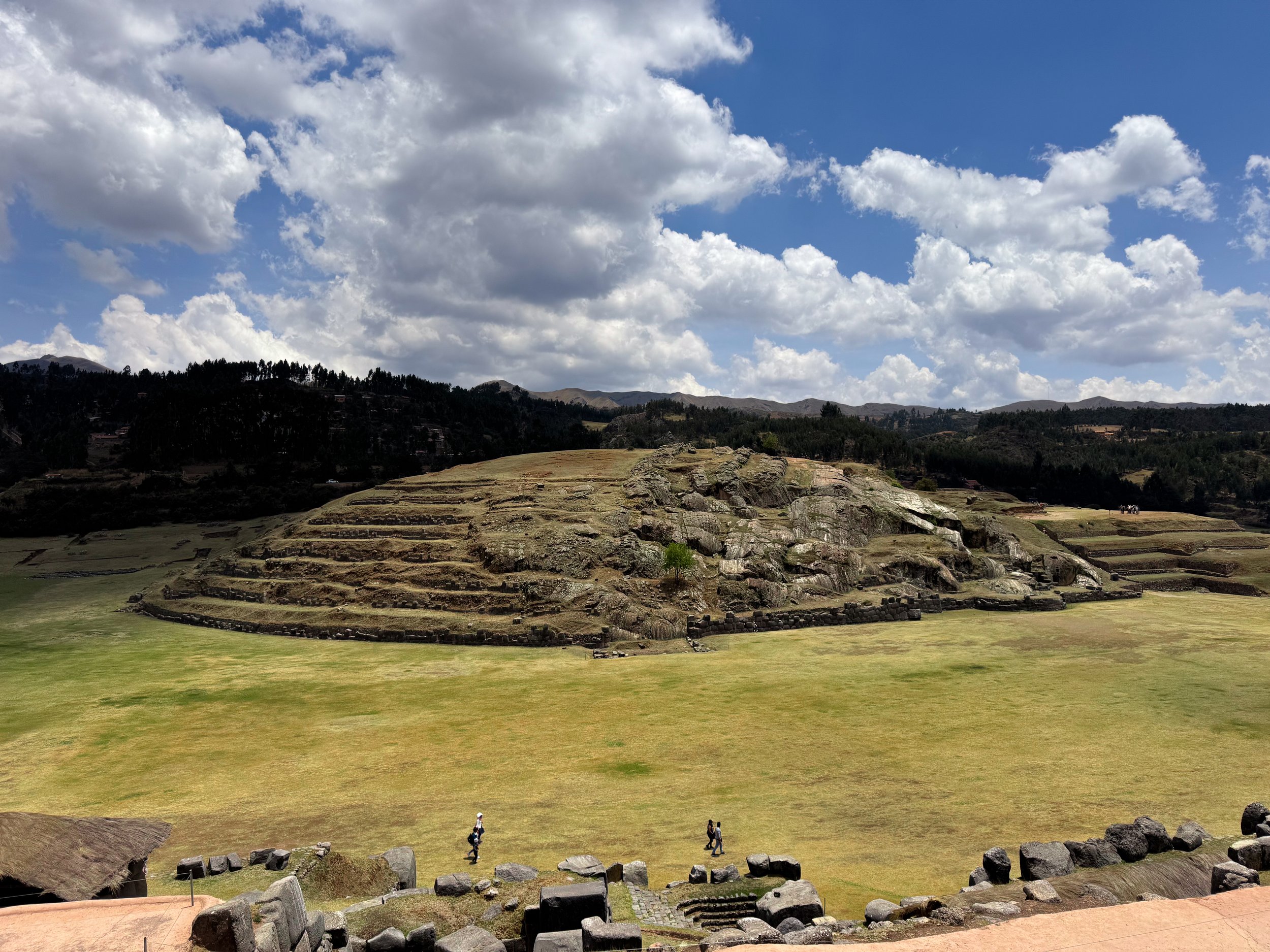
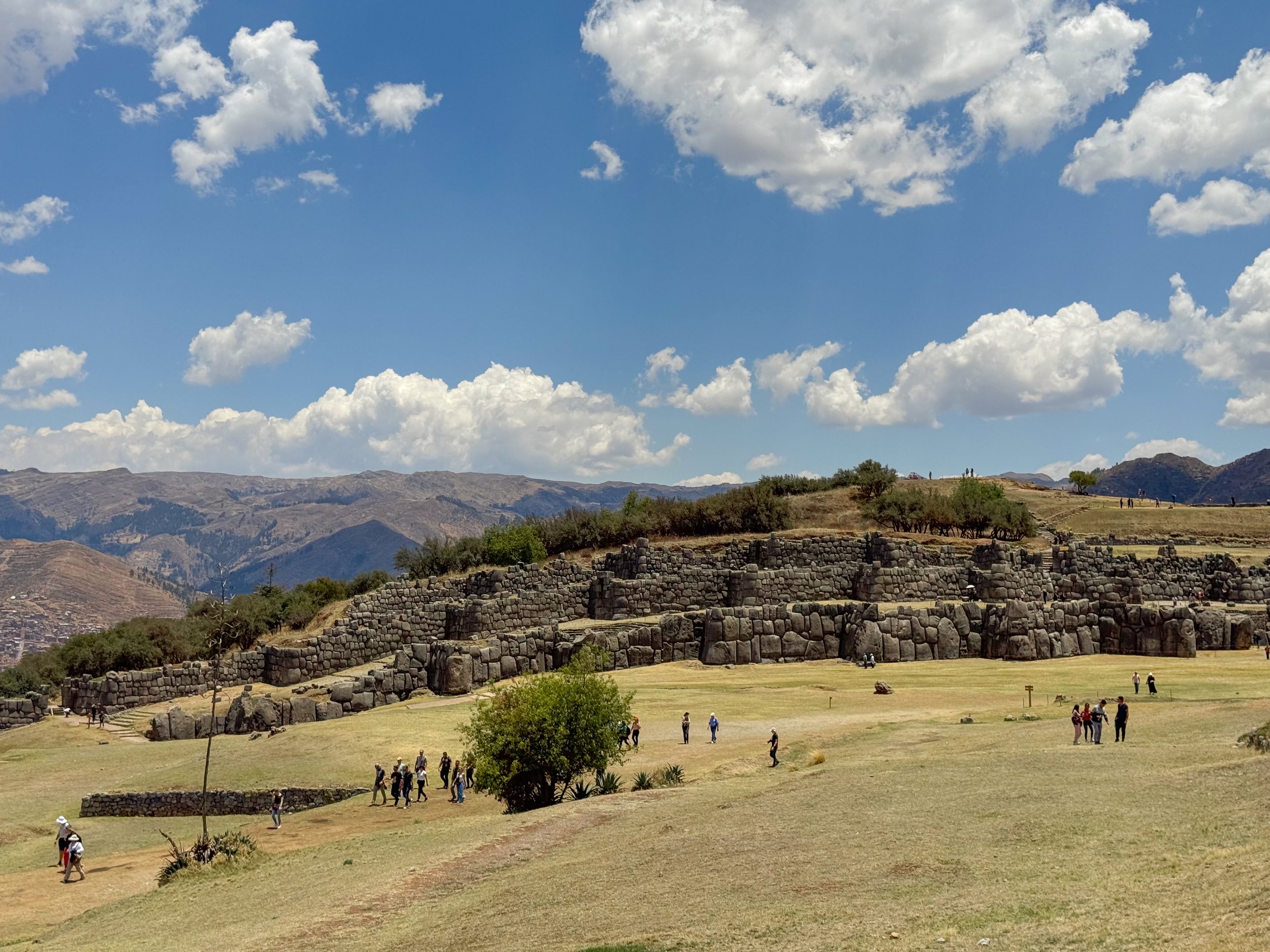
Sacsayhuaman. The citadel of the Incan empire with a large stone fortress, royal thrones, carved rock temples, agricultural terraces and aqueducts.
Muyuq Marka. The central fortress made from three terraced stone walls shaped in a zig zag pattern with stone gates, guard posts, astronomical temples and platforms to store water.
Trono del Inca. A rock formation with thrones carved into it overlooking the fortress and Cusco valley.
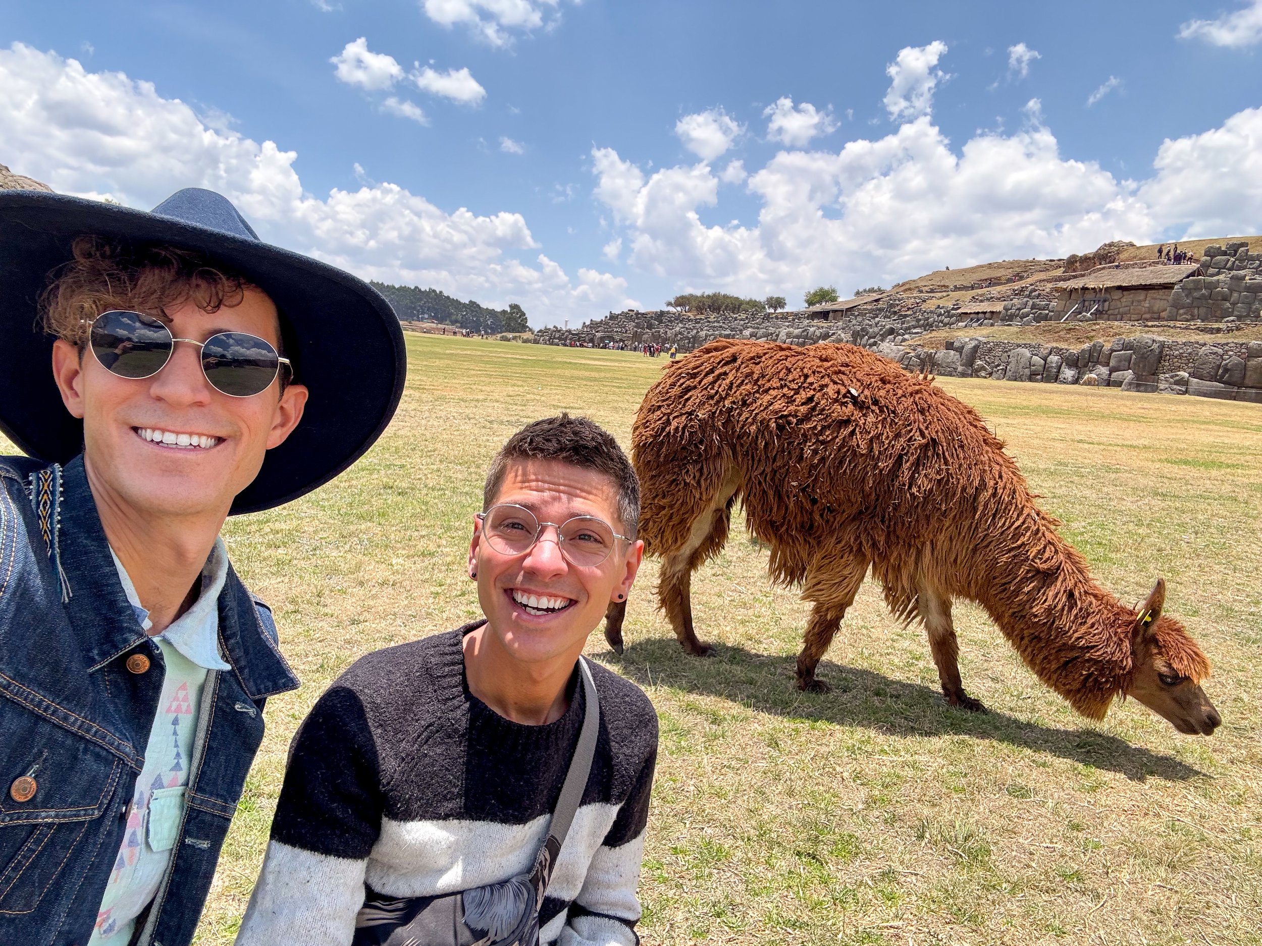
Explanada. A central field with views of the stone walls and throne, home to a small heard of grazing alpacas.
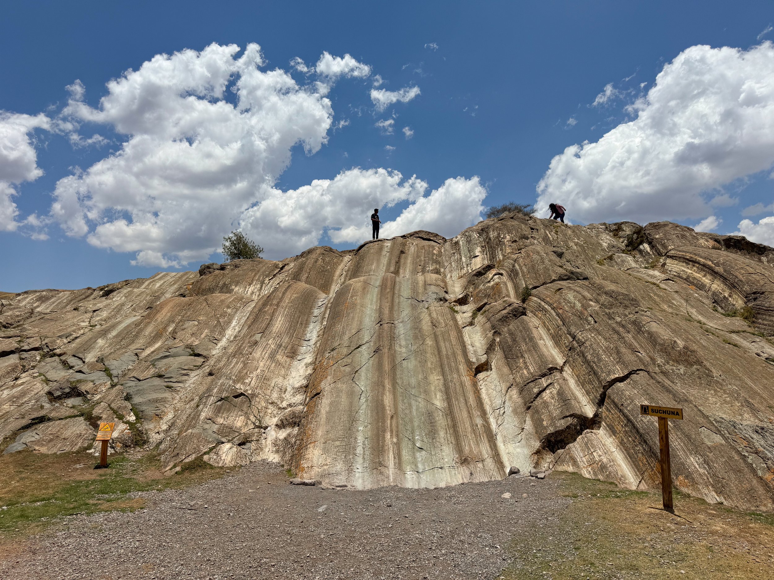
Rodadero. A rock formation used as a stone quarry with section of carved stone, upside down stairs and a natural slide polished smooth over hundreds of years by people sliding down it. We joined the locals and slid down its surface with ease.
Chincana Chica. An underground cave leading through a narrow stone passageway used by the Incas for worship and storage.
Qochas Chincanas. A circular arena with a grassy field and stone bleachers surrounding it used for celebrations and sacrifices.
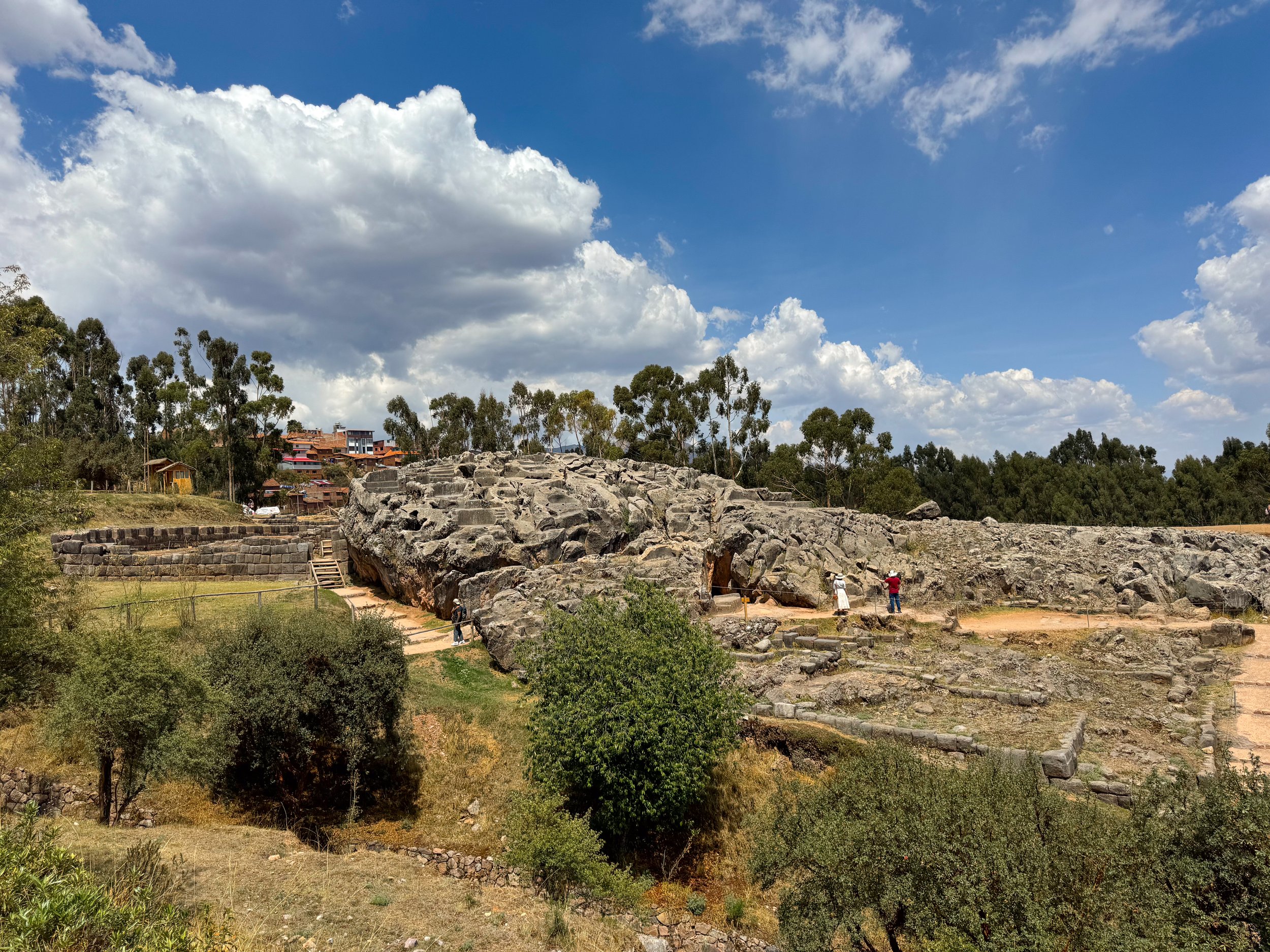
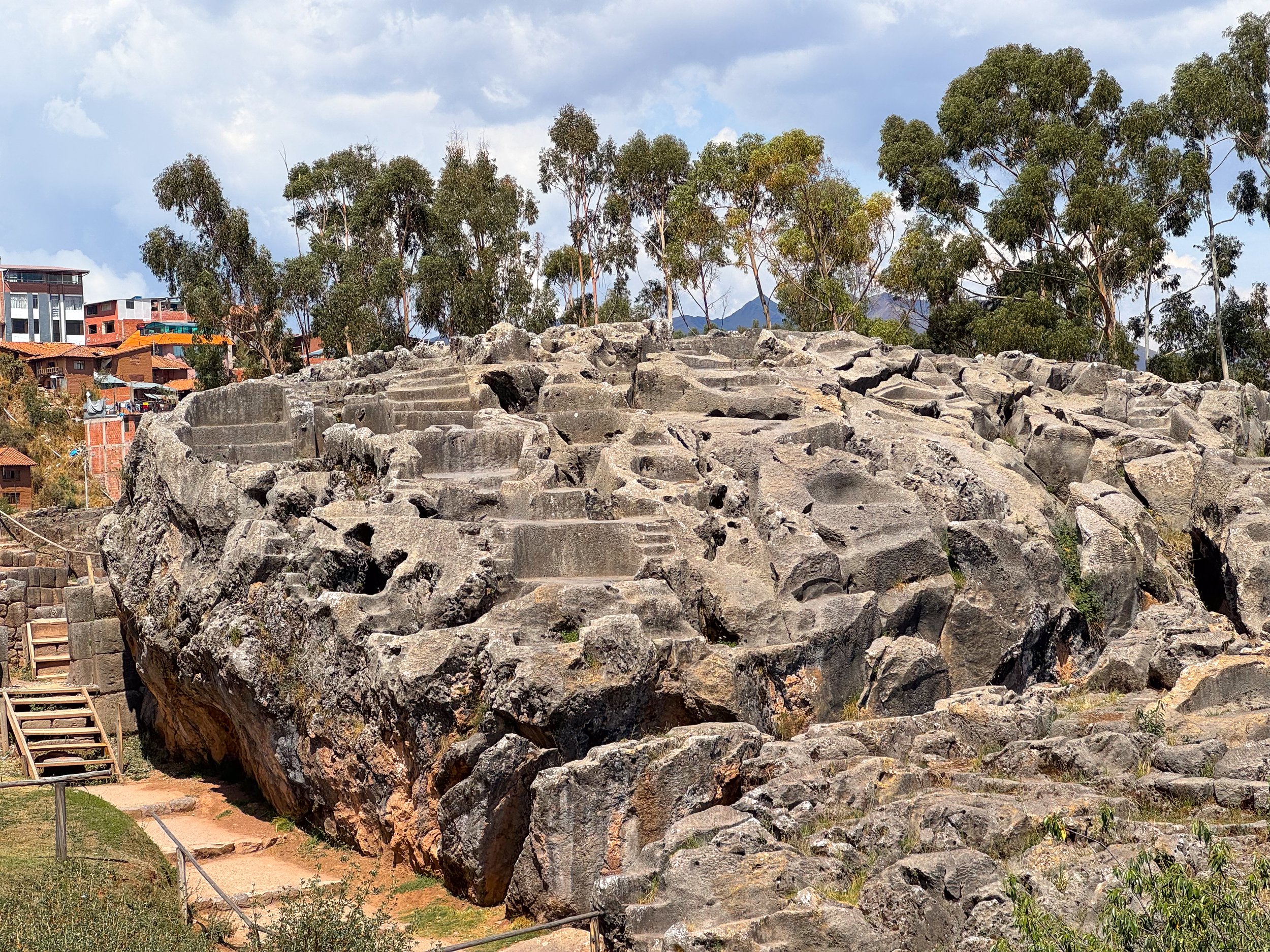
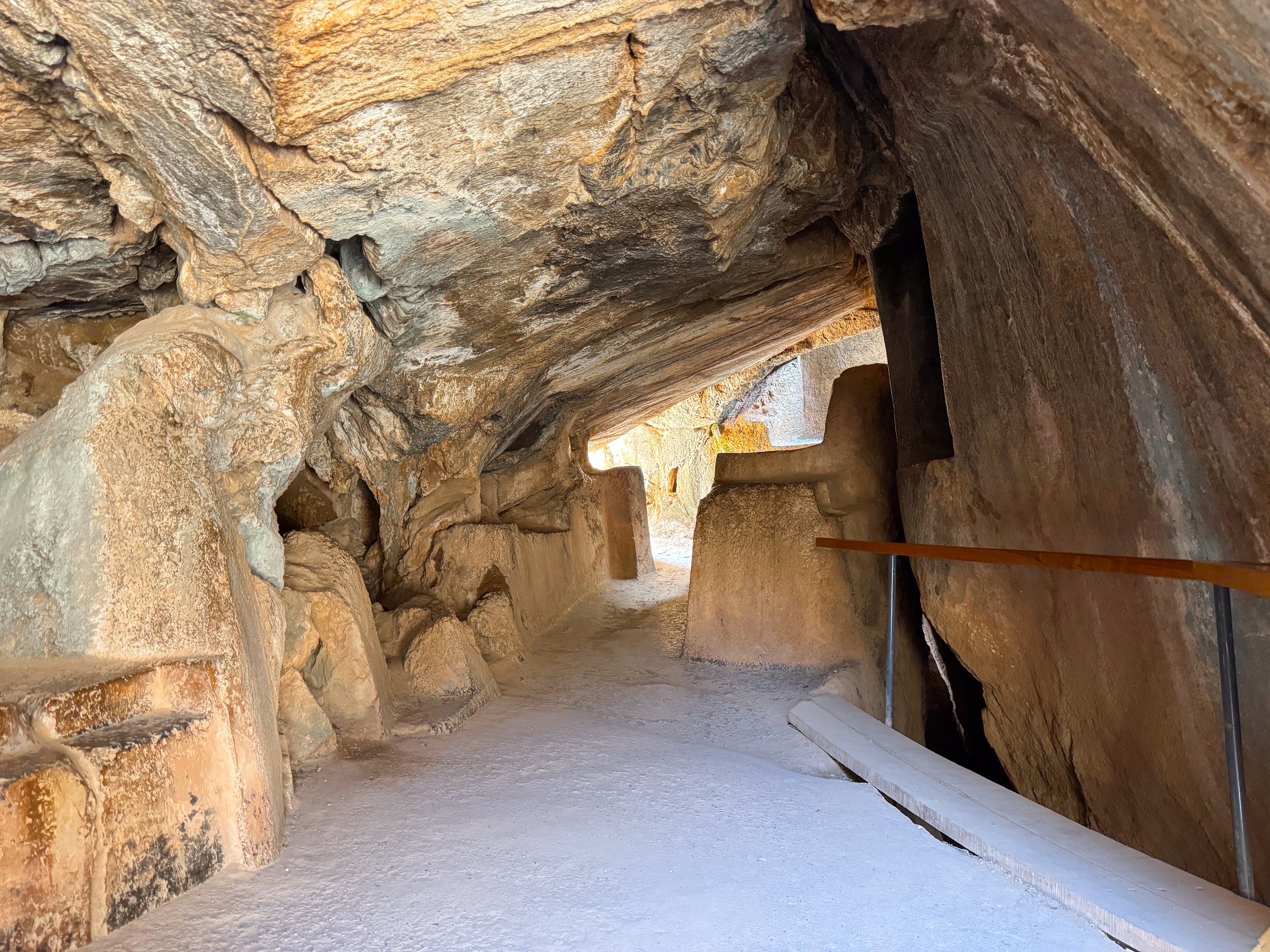
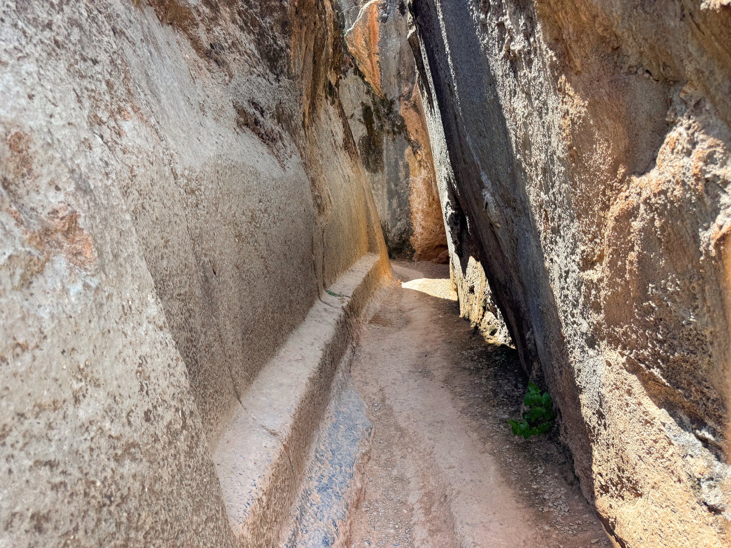
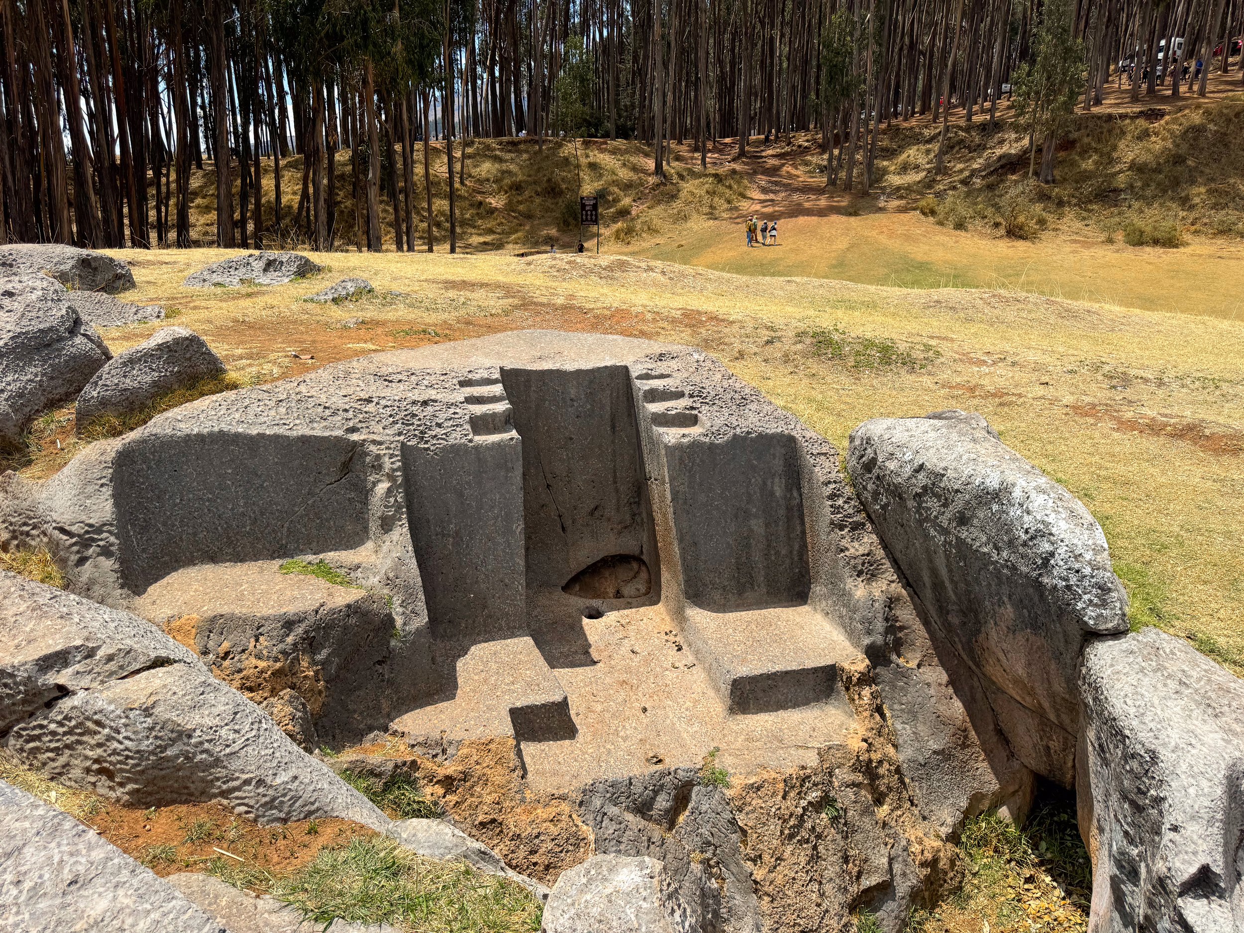
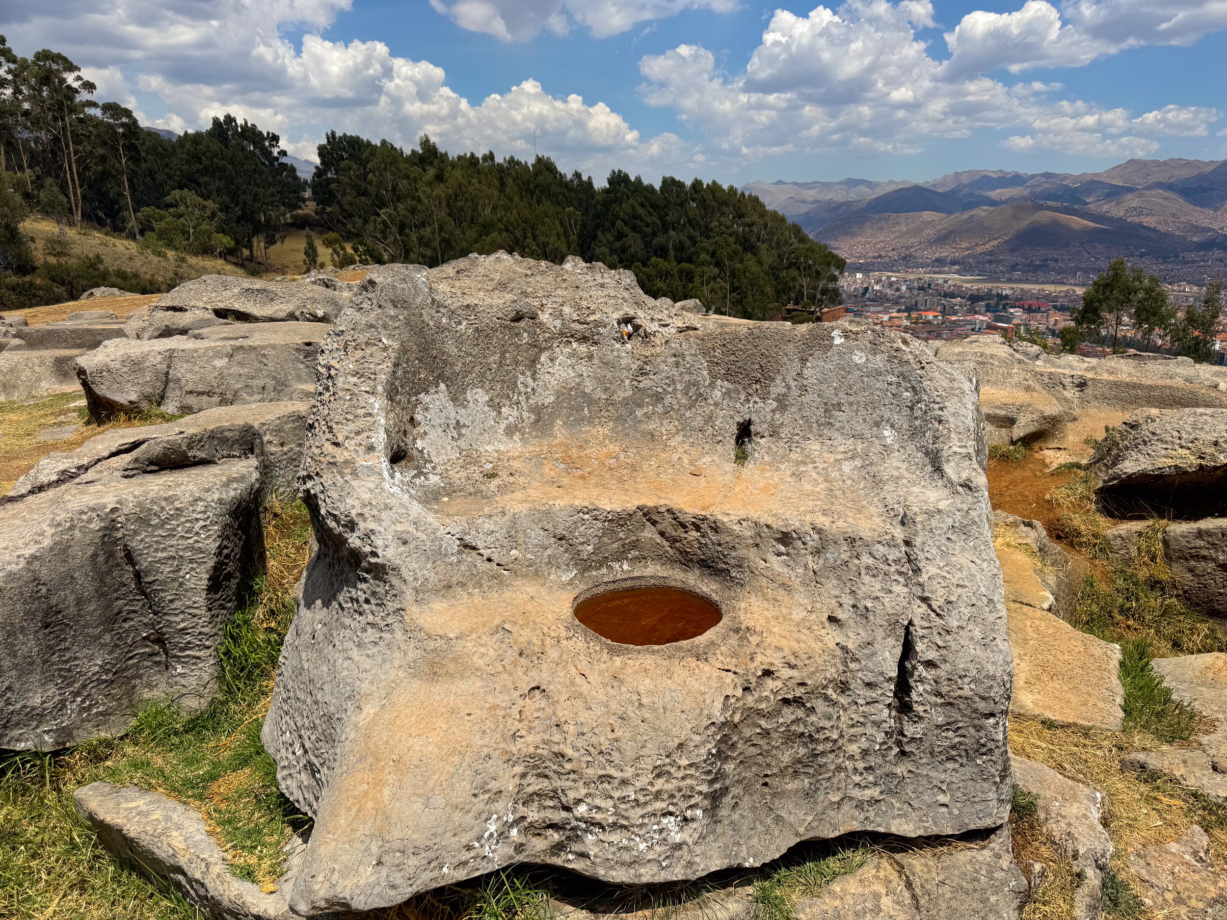
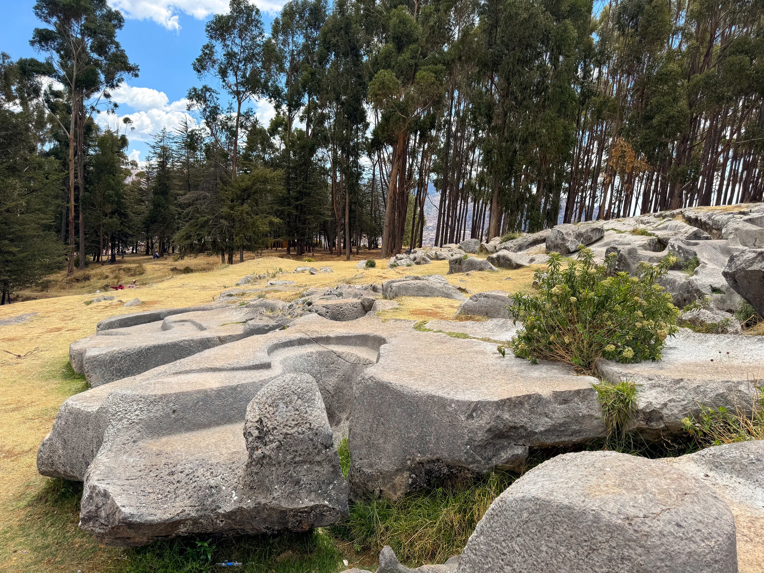
Q’enco. Stone ruins of a ceremonial sight used by the Incas to sacrifice humans and animals. We followed a guided path through an amphitheater used to watch sacrifices, past observation thrones, stone sacrificial beds, pools for blood to accumulate, through caves used to leave offerings and a canal for blood to flow along, including one shaped like a snake. The top is forbidden to walk on.
Q’enco Chico. A smaller ceremonial sight below Q’enco used for the same sacrificial purposes. Unlike Q’enco, this sight can be walked on and explored more freely. Today, it’s a popular picnic sight.


Calle Hatunrumiyoc. A historic street with Incan stone walls on both sides. It’s a good place to see the complexity of the stonework made by the Incans. The most prominent feature is, Piedra de los 12 Angulos, a large stone carved with 12 corners and perfectly fitted with the surrounding stones.
Calle de Siete Culebras. An Incan street with stone walls and carvings of snakes.
Qorikancha Temple (Golden Temple of the Sun). The ruins of an Incan temple dedicated to the worship of the sun. Prior to the Spanish conquest, the temple was plated in gold. It was stripped off and a cathedral was built on top of its walls. The temple remains mostly intact and can be toured from within the cathedral. We climbed the bell tower of the cathedral overlooking Cusco.
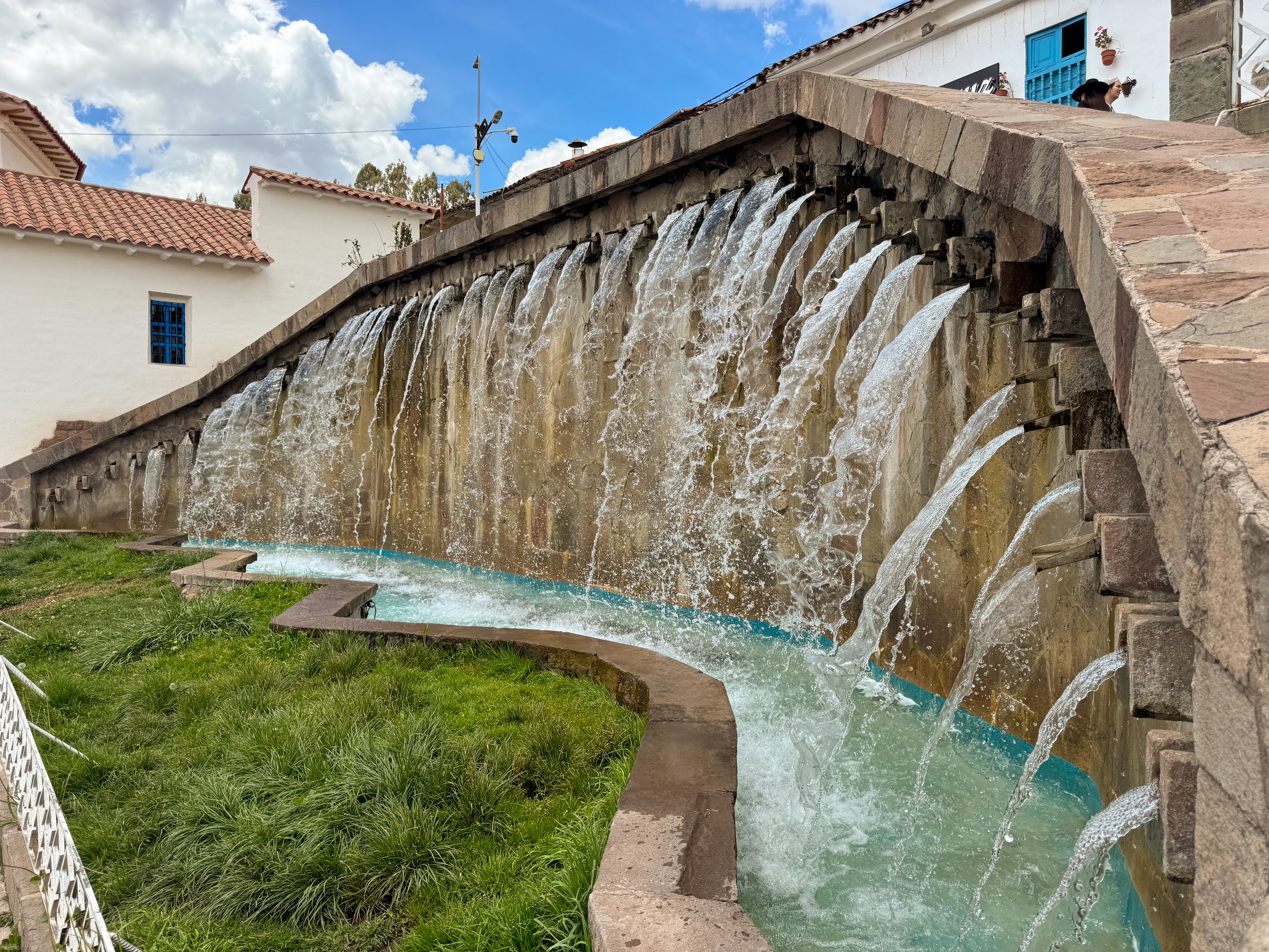
Sapantiana Aqueduct. An ancient stone aqueduct bridge and canal used to transport water by the Incas and still used today.
Sights & Museums
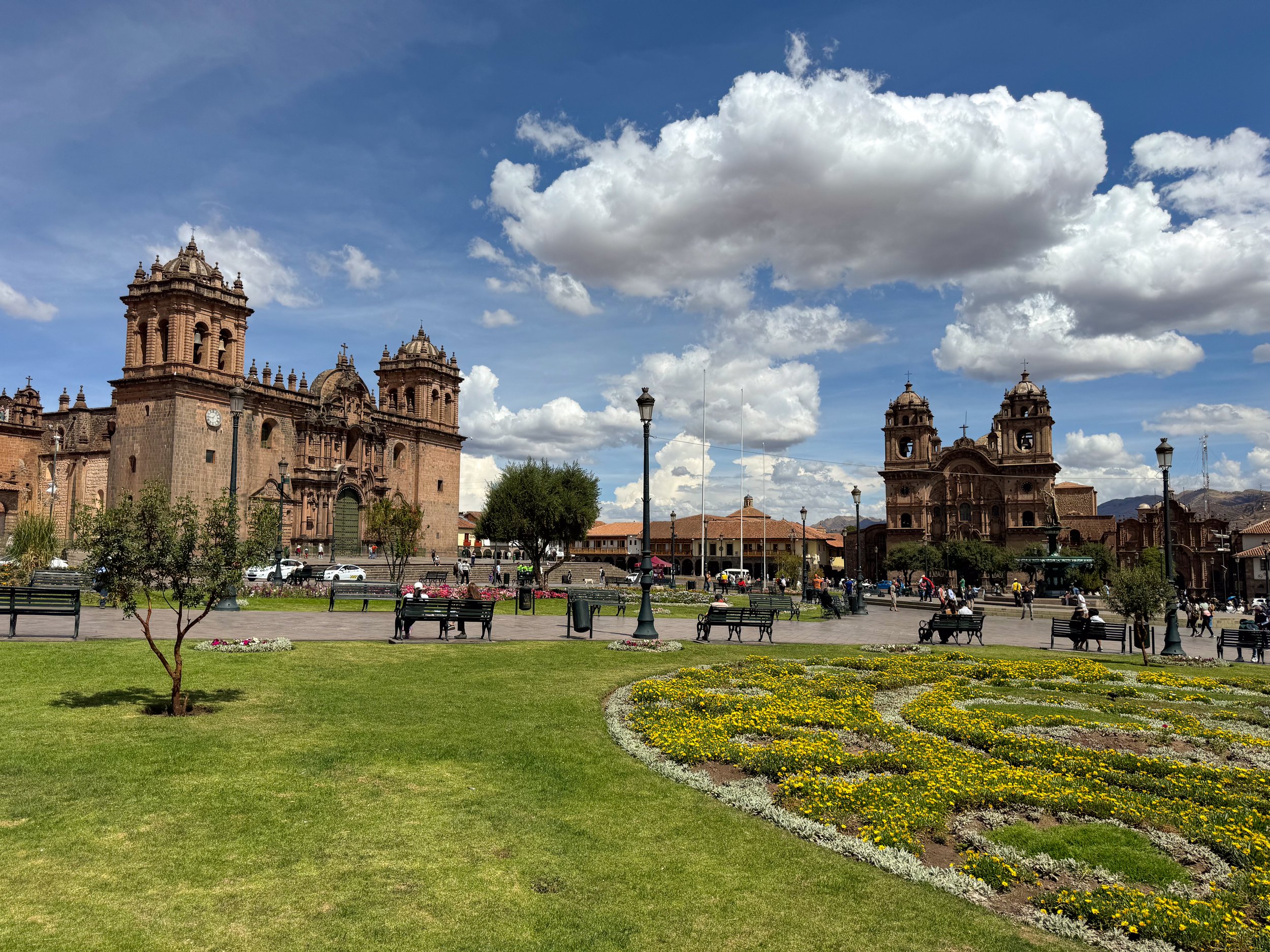
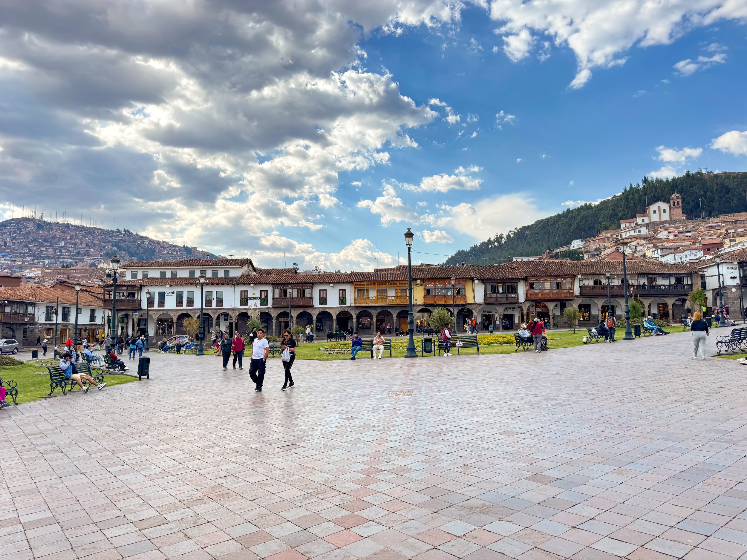
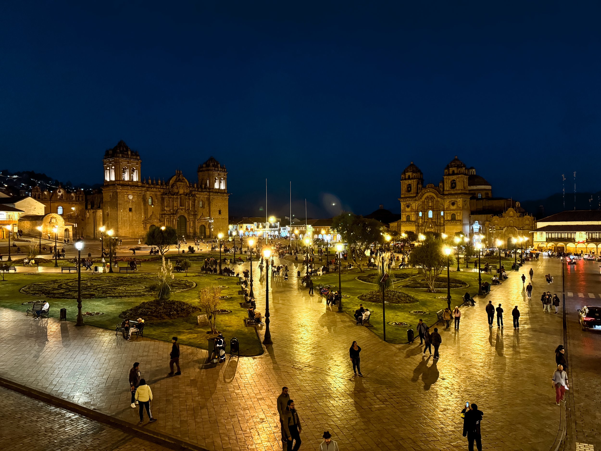
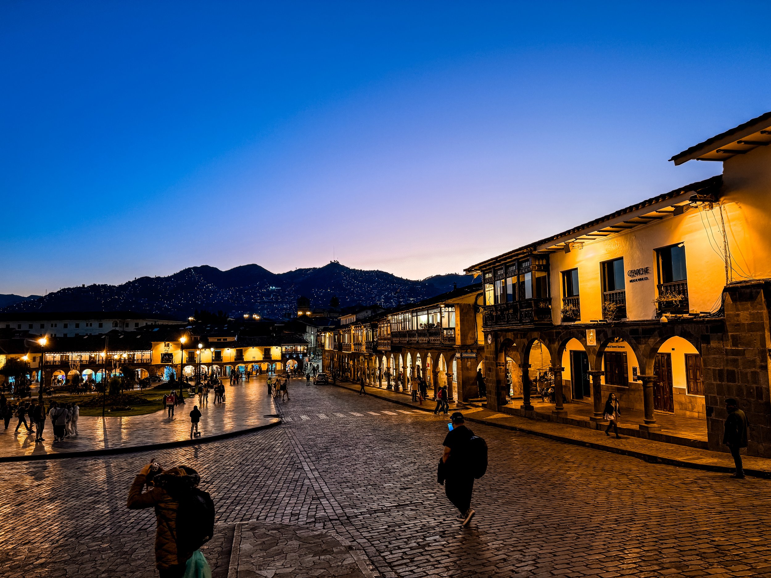
Plaza Mayor. The central plaza in Cusco with two large cathedrals, balcony lined buildings, flowering gardens and a central monument dedicated to the Incas. It is a hub for restaurants, tour companies, massage parlors, textile stores and souvenir shops.
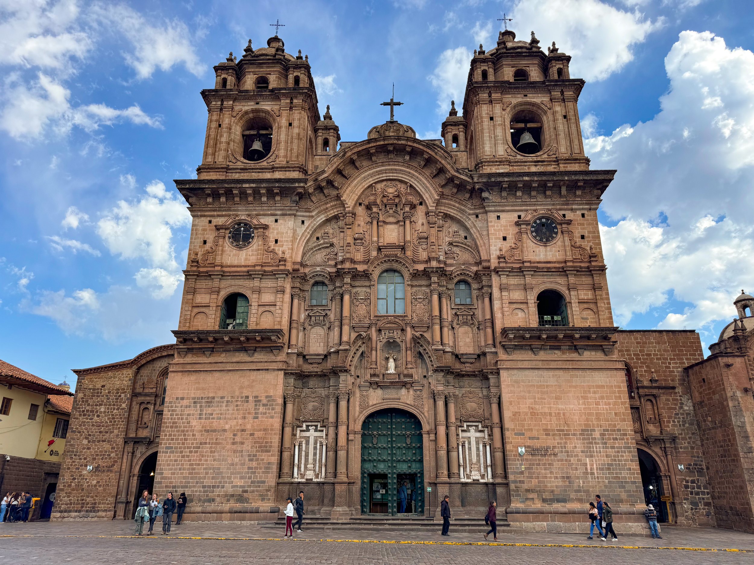
Cusco Cathedral. The cathedral at the south side of Plaza Mayor with an ornate stone facade and two large bell towers. We toured the gold gilded interior, visited the crypt and climbed to the second level of both bell towers overlooking the plaza.
Museo de Arte Pre-Colombia. A museum dedicated to the pre-Colombian civilizations and cultures of ancient Peru. The ground floor galleries separate artifacts by the material they are made from including shell, silver, gold, wood, stone and ceramic. The second floor galleries separate artifacts by the regions and cultures of ancient Peru through Incan times to the Spanish conquest.
Qorikancha Museum. An underground museum beneath the lawn outside of the Qorikancha Temple with artifacts including ceramics, textiles, mummified remains and skulls with surgical markings and deformations. The museum exits through the lawn with the ruins of Incan stones and an aqueduct.
Plaza San Blas. A plaza with a large fountain, church, small museums, an artisan market and shops
Mirador San Blas. A romantic plaza with views of the neighborhood and Cusco. Couples attach love locks to the rails and make out on the park benches.
The San Cristobal Viewpoint. A scenic lookout above Cusco with panoramic views of the clay tiled roofs of the city, the stone cathedrals and the distant hillside.
The Cristo Blanco View Point. A lookout high above the city with a small white painted copy of Rio’s Christ the Redeemer.
Markets
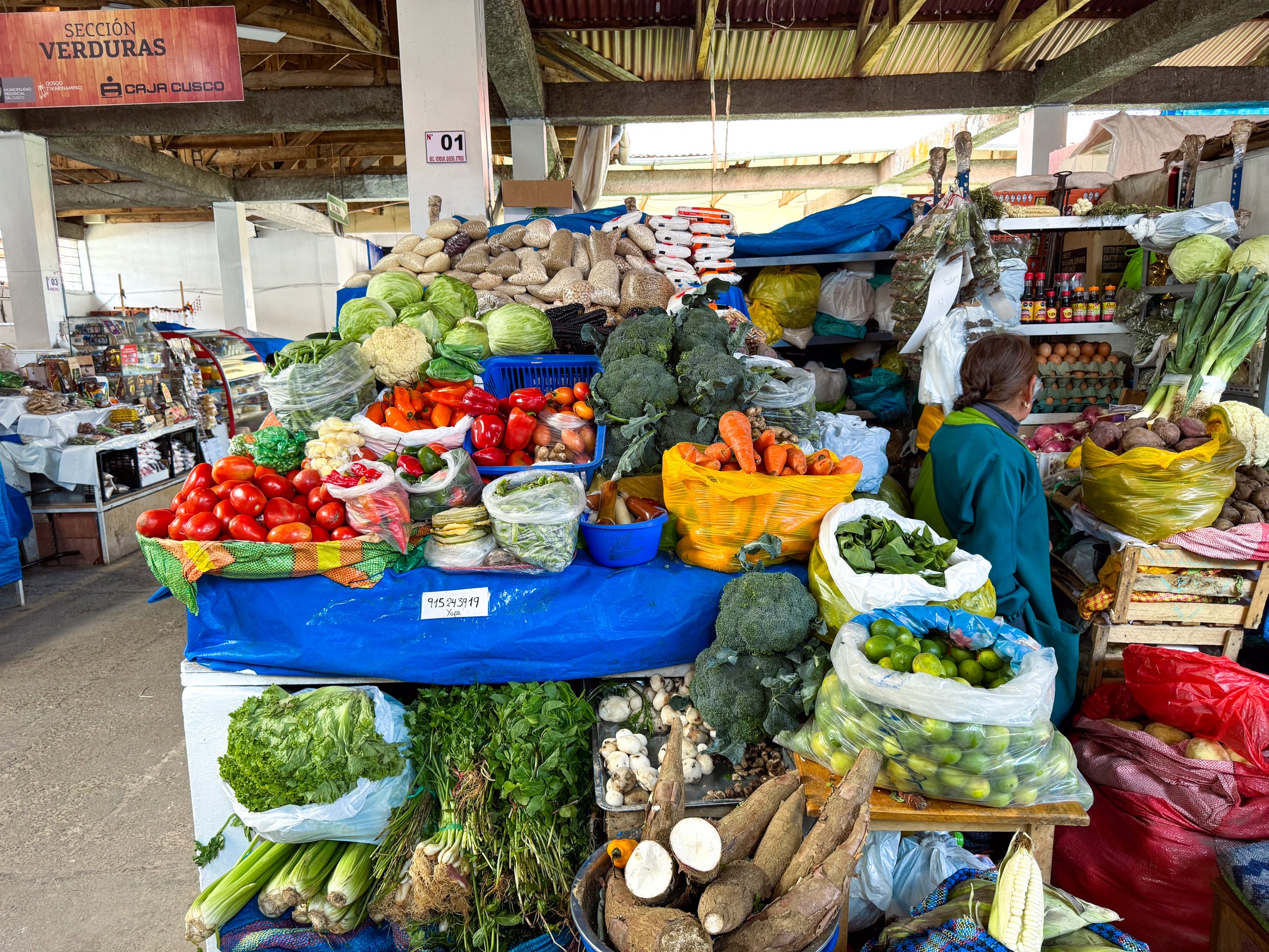
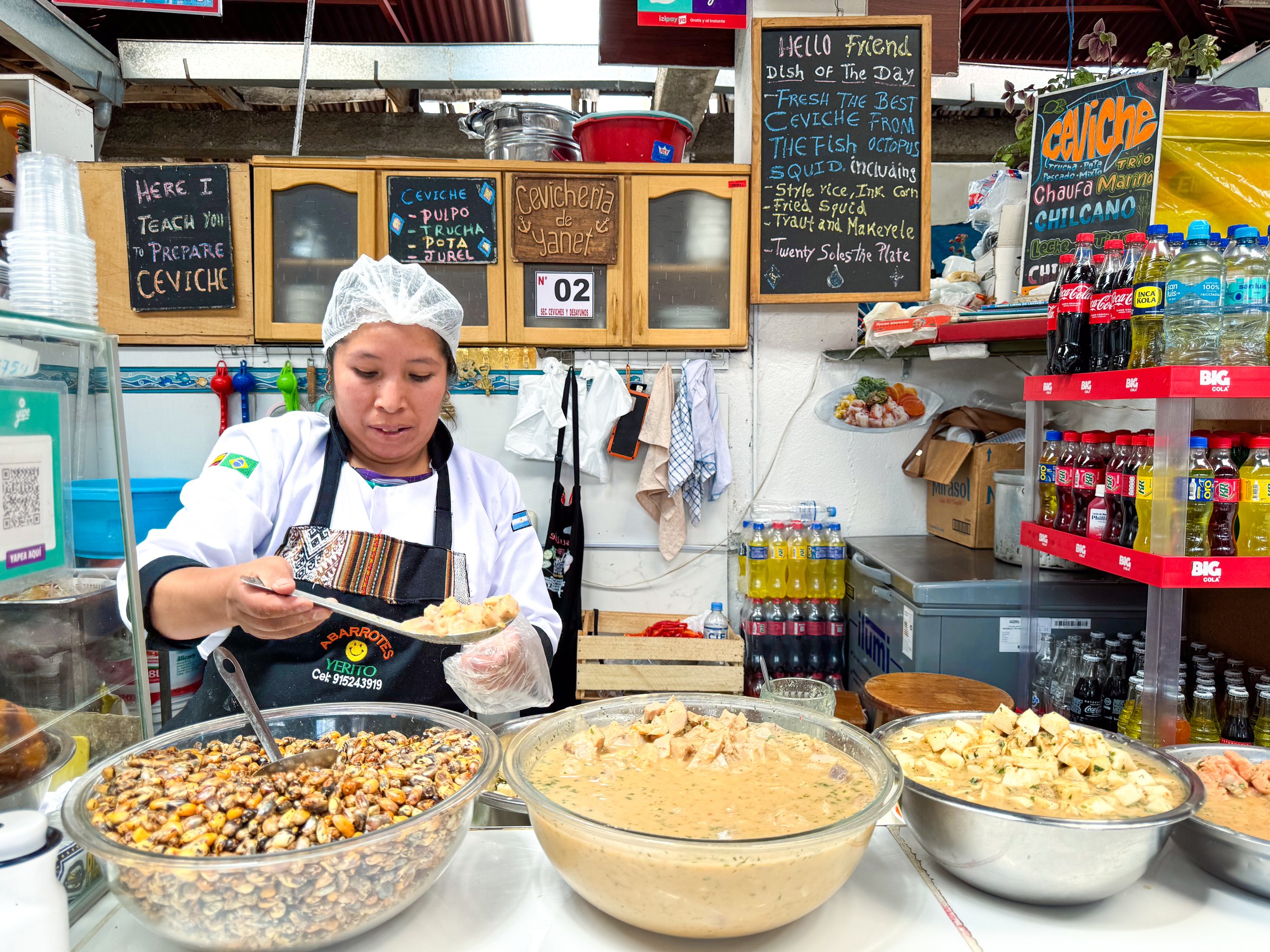
San Blas Market. A small neighborhood market catering to a mix of locals, expats and backpackers with vendors offering a robust mix of fresh produce, vegetables, meats, fish, dairy and dry goods. We bought a variety of Peruvian potatoes, squash, fruits, Andean cheese, eggs, milk, butter, flour and yeast to cook meals throughout the week.
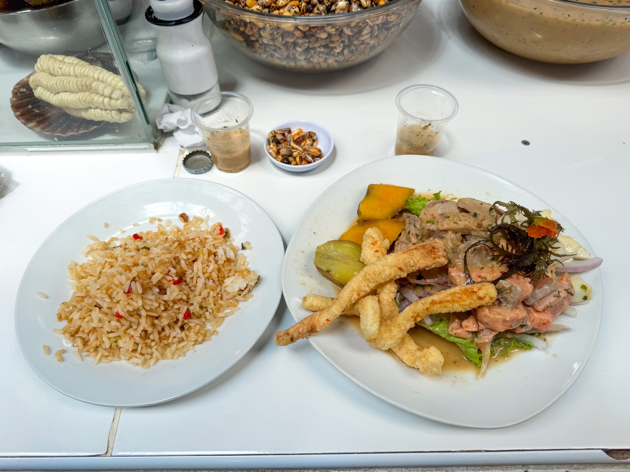
The market is the perfect spot for a local lunch with restaurants serving Peruvian and vegan cuisine. We ate at Cevicheria de Yanet, sharing a bowl of mixed ceviche made with squid, trout and mackerel. It came with sides of chicharon de calamari, seafood soup, canchas and homemade chicha.
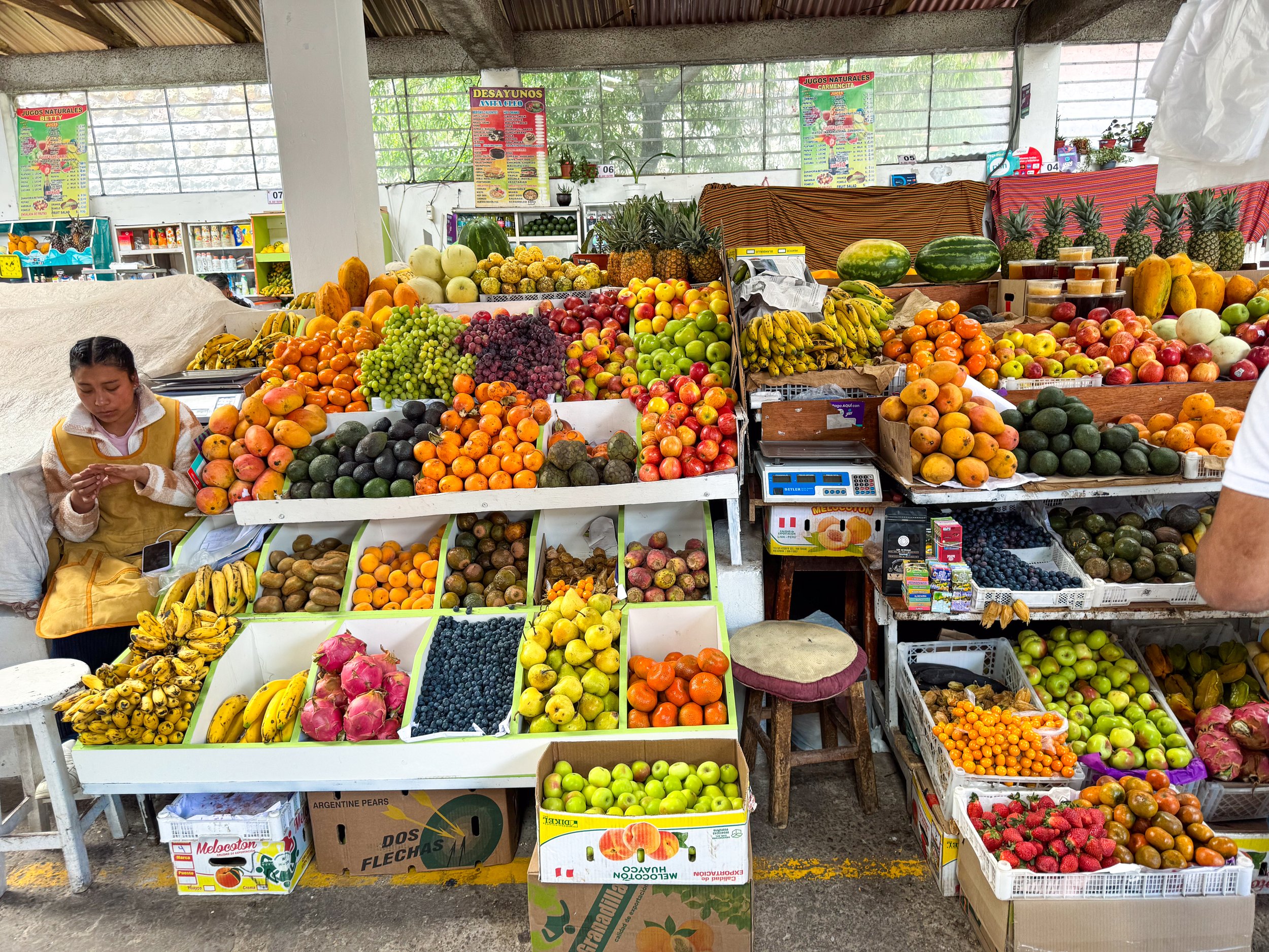
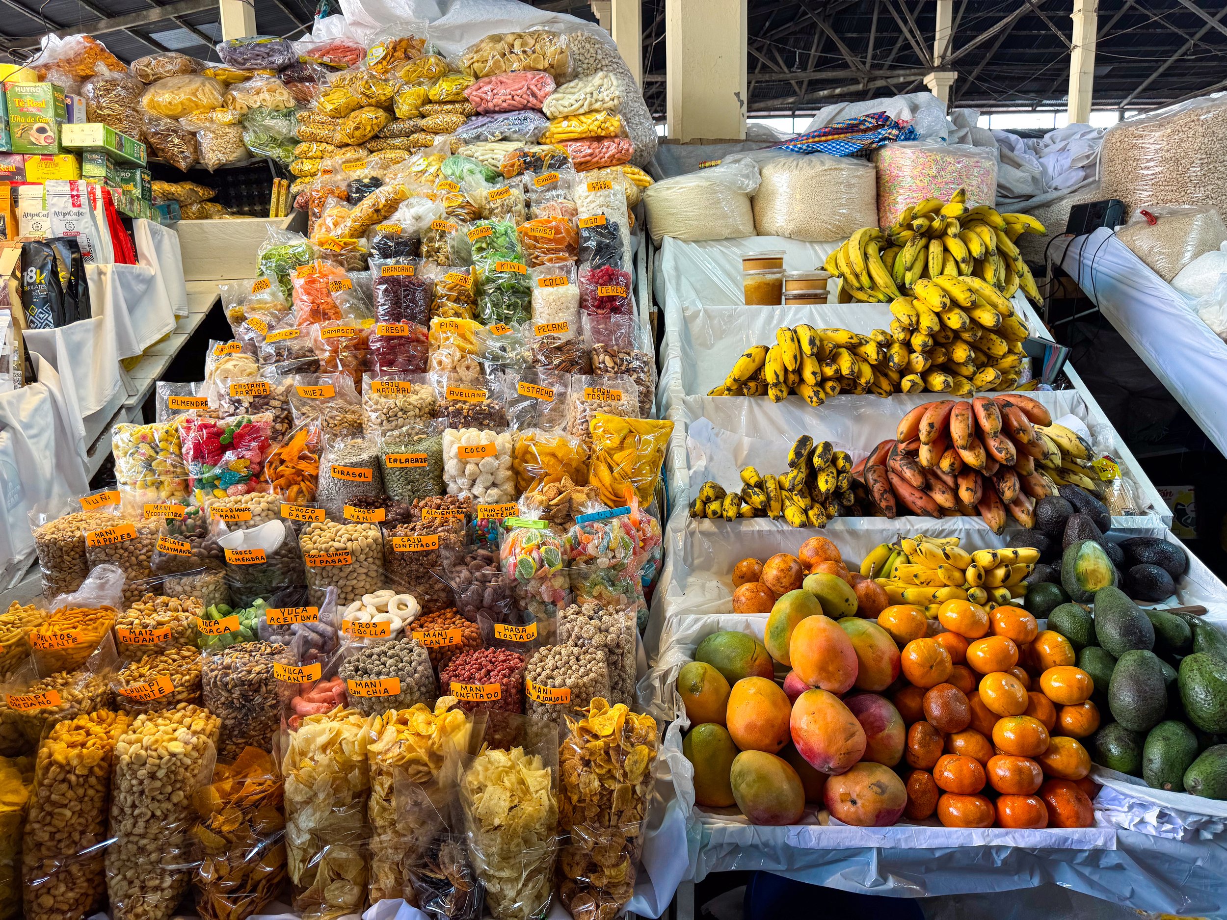
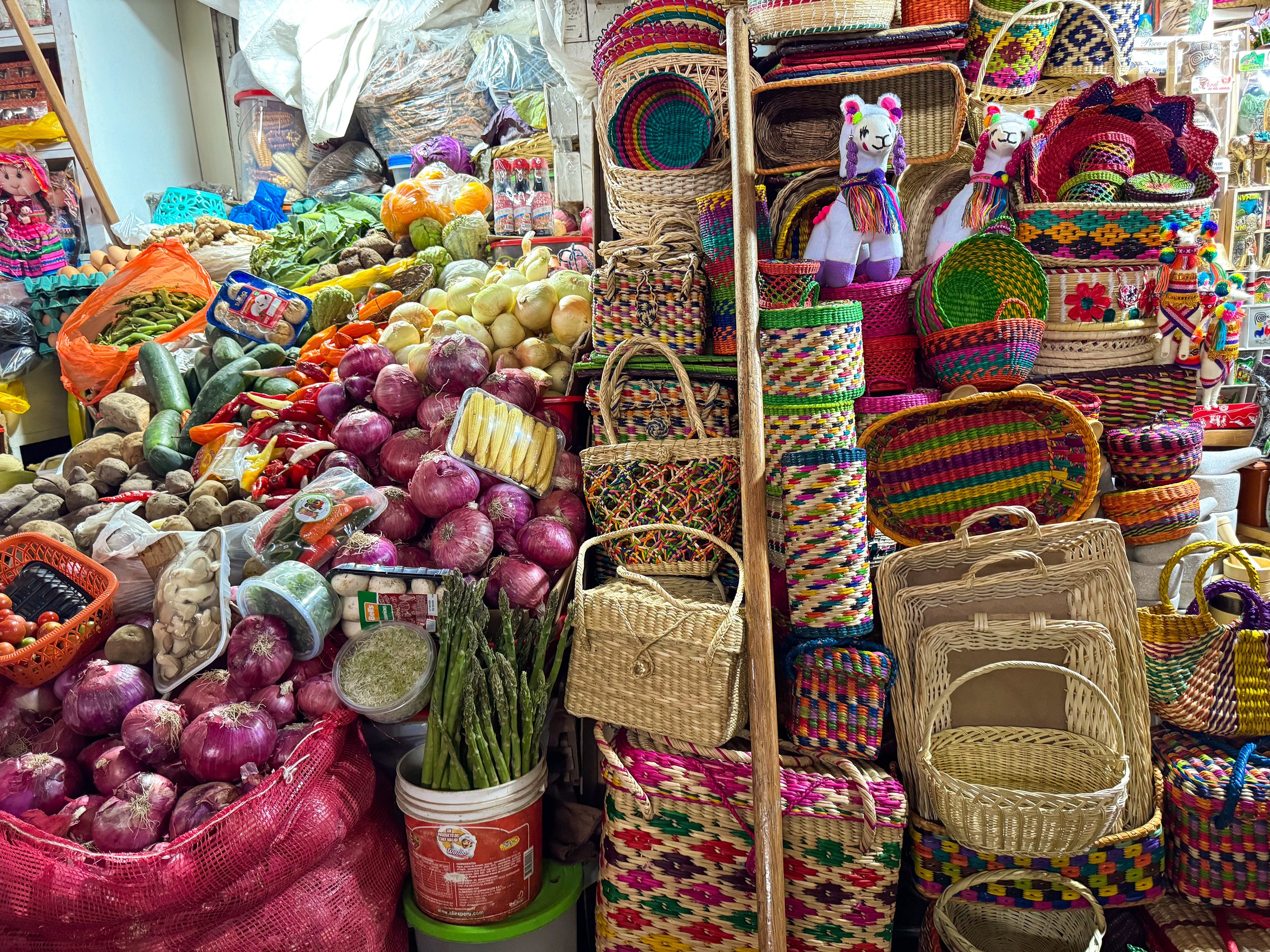
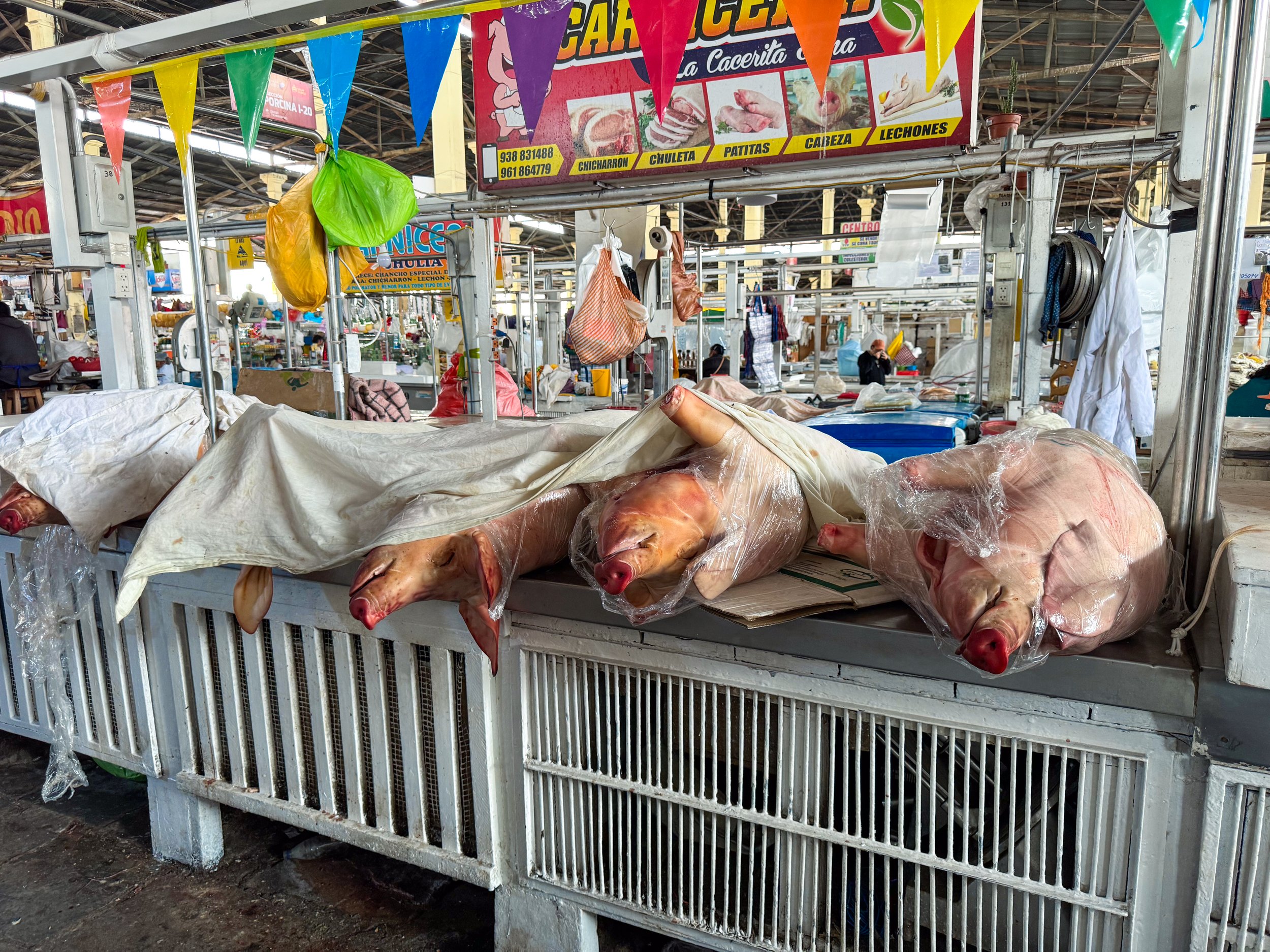
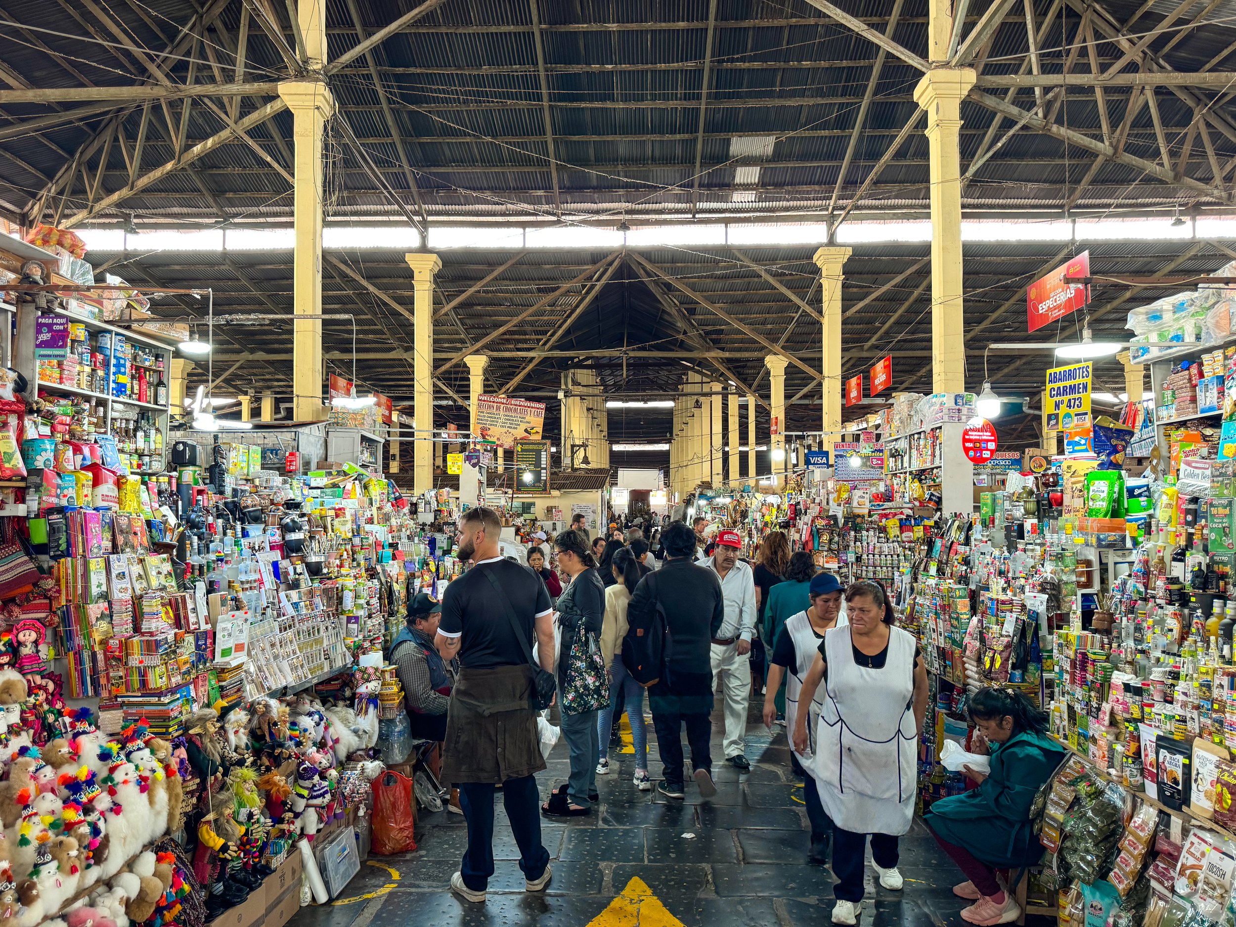
San Pedro Market. A large and colorful market with vendors selling handicrafts, fruits, vegetables, grains, herbal remedies, snacks, candies, flowers and meats. The meat market is a bit intense with butchers selling whole pigs, skinned horse heads, bloody bull horns and organs.
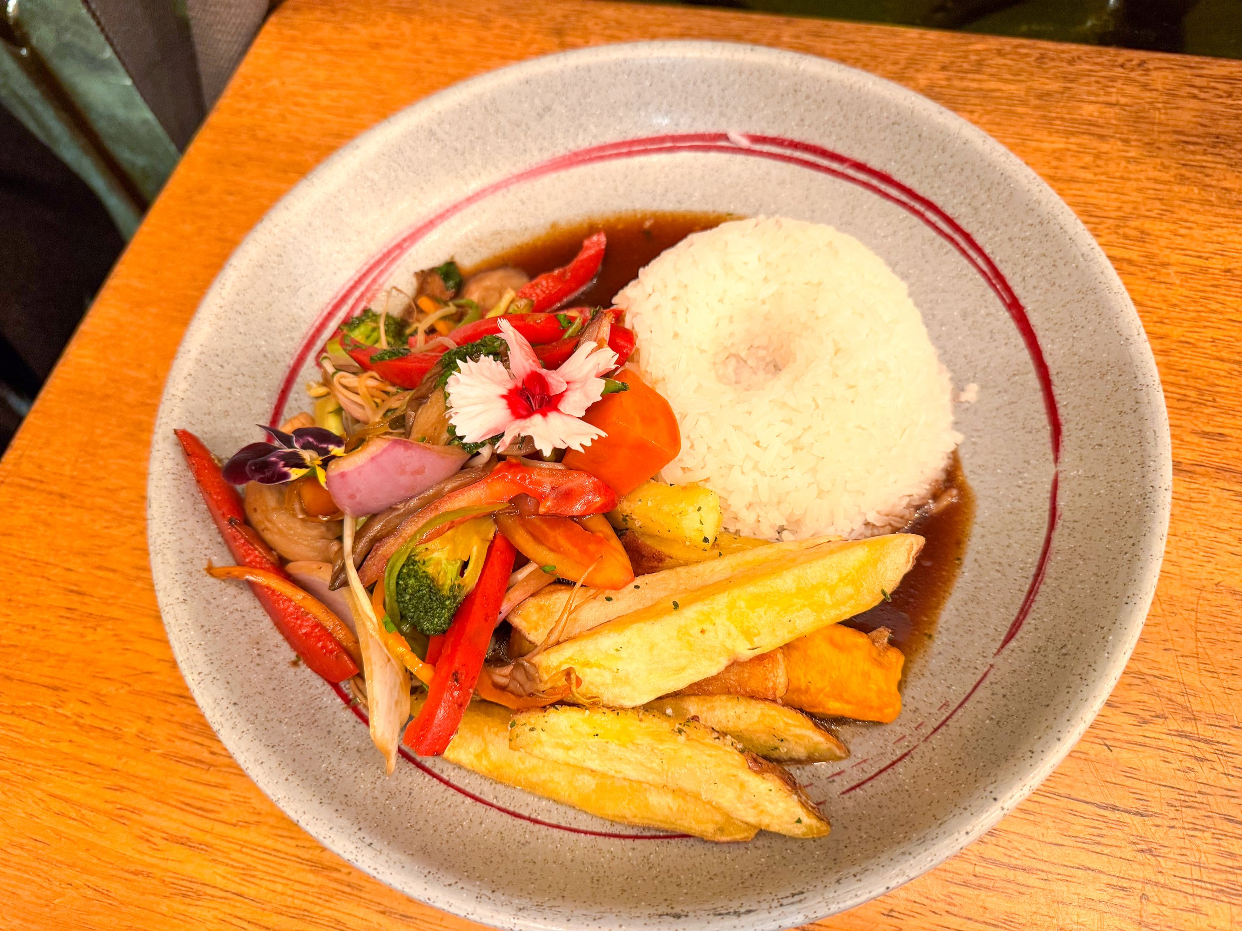
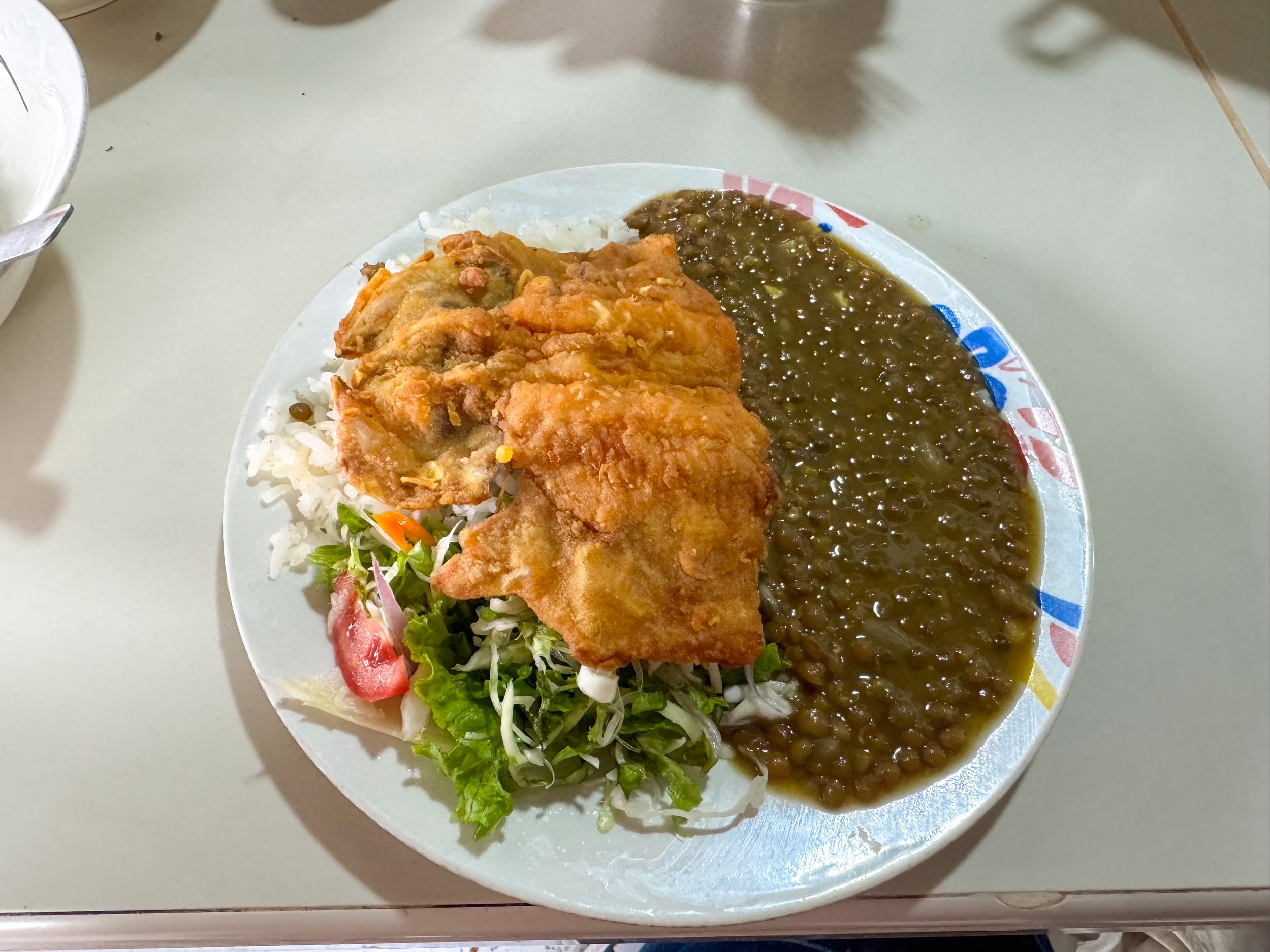
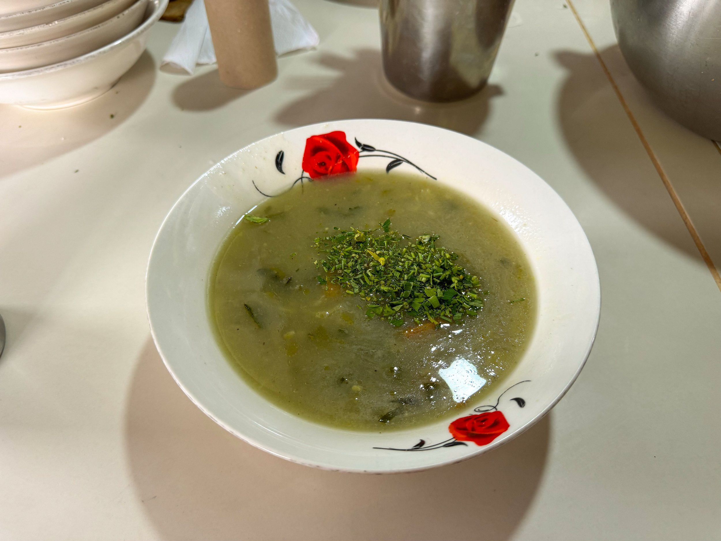
The most popular reason to come here is for the fresh juices, Peruvian style street food and aisles of small restaurant stands. The cooks at each stand called for us to sit down, competing with their neighbors, as we walked past the benches of customers and busy kitchens with large steaming pots. After scanning the menus, we sat down and ordered a plate of fried trout with lentils, rice, salad and a bowl of vegetable soup for 8 Sols each.



Where to Eat & Drink
Fusion Andina. A restaurant overlooking Plaza Mayor and the city’s hillside with a menu of Peruvian and Andean cuisine. We came here for dinner, overlooking the twinkling lights of the city at night while sipping on Peruvian wine. The menu includes dishes made with Andean trout, alpaca and guinea pig.
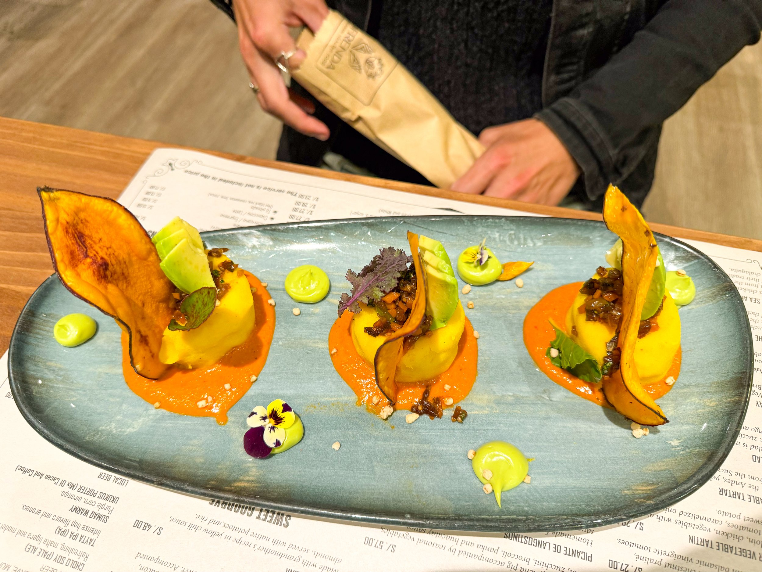
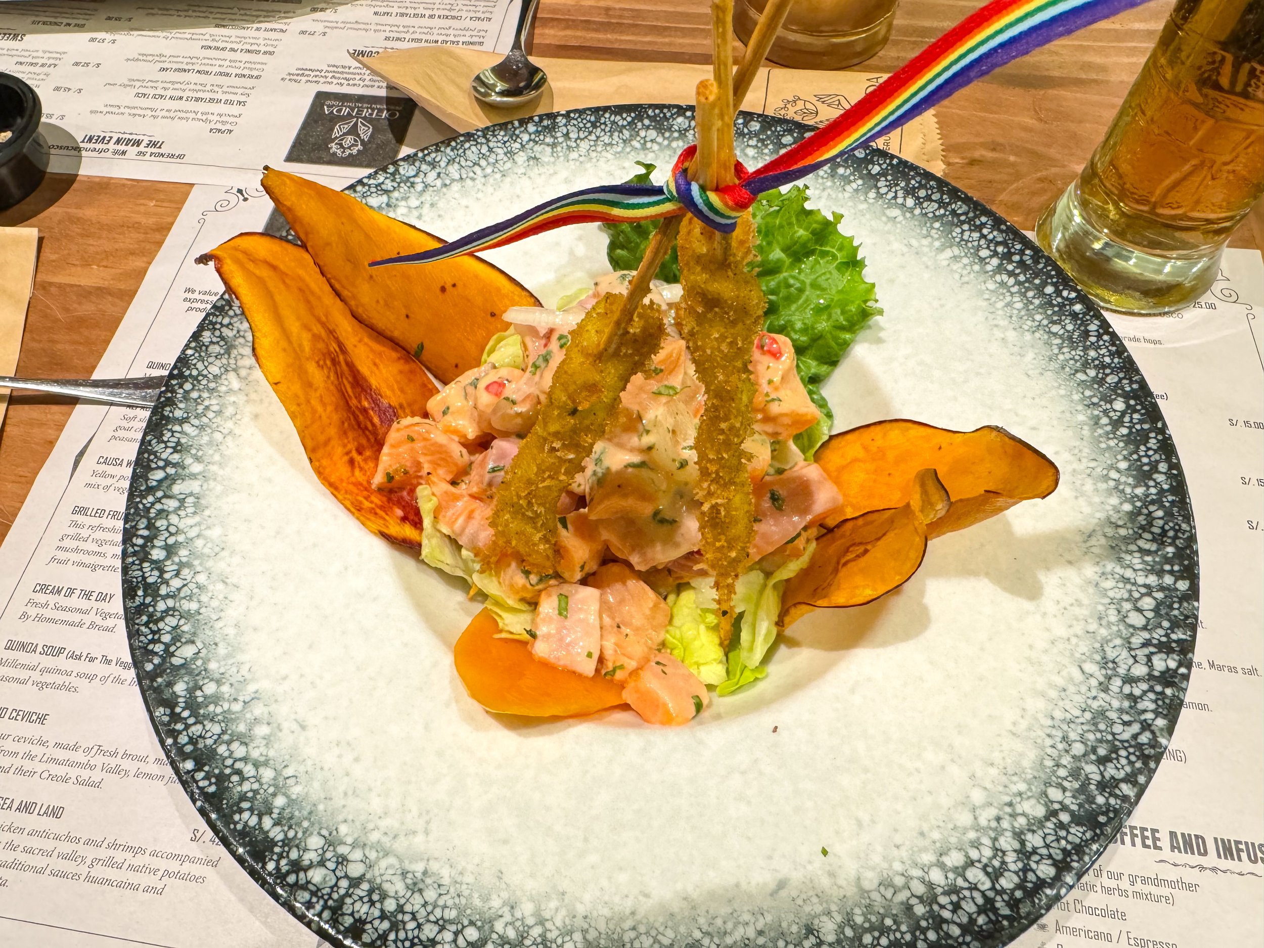
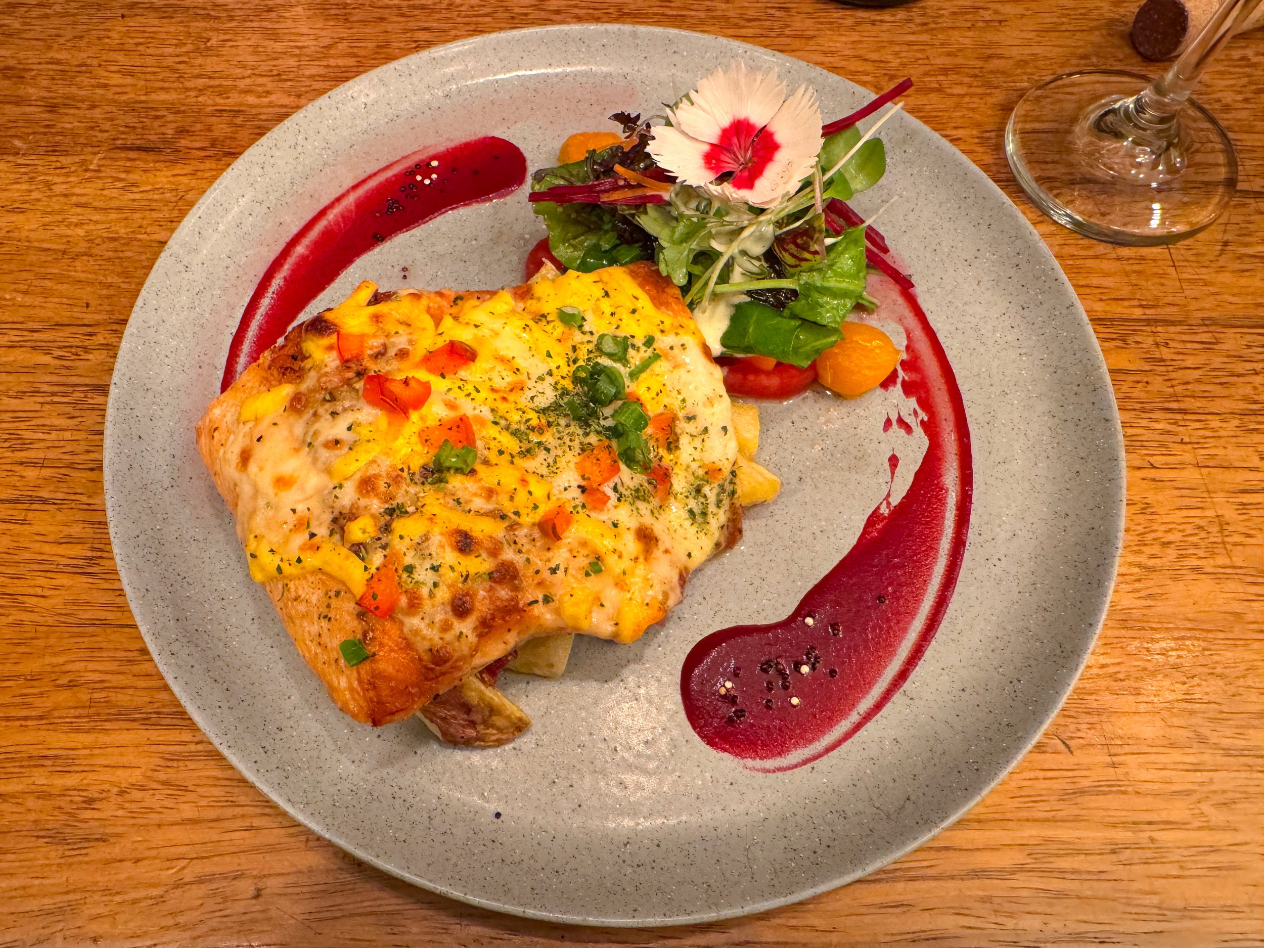
Ofrenda Peruvian Healthy Food. A Peruvian restaurant with colorful and beautifully plated meals and desserts. Come for the causas, ceviche, cheesecake and chocolate cake.
Cafe Dwasi. Come here for their specialty coffee, cappuccinos with llama artwork foam and breakfast dishes like pancakes or omelets.
Kaldi Coffee. A café and bar in San Blas with a rooftop views of Cusco, artisan coffees, empanadas, ice cream and cocktails.
Cafetoe. A coffee shop on the corner of Plaza Mayor with balconies overlooking it. We came here one chilly night for a Peruvian hot chocolate, made from milk and cocoa powder
ERA. A rooftop bar in San Blas above the Mirador de San Blas overlooking Cusco. Come here for the 2 x 30 Sol happy hour with Pisco cocktails.
Something Special. A restaurant and bar with views overlooking the clay tiled roofs, plaza mayor and Viva El Peru sign. We ordered a chicha Pisco sour and Cervesa Raymi, an artisan Cusco brewed beer.
Pizzos. Come here for the clay oven pizzas and cocktails. They have a 2 x 25 Sol happy hour for regular and flavored Pisco Sours.
KM.0. A restaurant and cocktail bar with a long list of drinks and a 2 x 28 Sol happy hour.
Barden. A bar and restaurant with a terrace overlooking Cusco and a garden with warm string lights suspended from the trees above.
What to Eat & Drink
Coca Tea. The popular Peruvian herbal tea made from the leaves of the coca plant used to combat altitude sickness. After drinking the tea, it’s common to chew on the leaves for their medicinal properties.
Trout. Andean trout is populous in the high mountain lakes and rivers. It’s served grilled, fried and as ceviche.
Potatoes. Peru is known for having thousands of variety of potatoes. They’re served mashed in causas, fried and in soups & stews.
Choclo con Queso. Boiled Peruvian corn wrapped in a grilled piece of Peruvian cheese.
Alpaca & Guinea Pig. We don’t eat meat however we saw both animal on the menu in restaurants across the city. Alpaca can be served as a steak while guinea pigs are often served whole.
Tumbo. A popular Peruvian fruit that’s a cross between a passion fruit and pomegranate.
Cherimoya. A green scalloped tropical fruit with a custardy interior and large black seeds with a taste similar to strawberry ice cream.
Cusqueña. One of Peru’s national beers easily identifiable by its bottle cap with Machu Picchu on it and a bottle embossed in Incan stone work. It comes in three varieties, Dorado (Golden), Wheat and Negro (Stout).
Inka Chips. A local brand of potato chips made from Peruvian potatoes.
Where to Stay
Inti Wasy. We stayed at an Airbnb in San Blas neighborhood with panoramic views of the Cusco Valley. The private apartment had a comfy bed, well outfitted kitchen and laundry machine. The space feels authentic with Incan and Peruvian decor. We were thankful to have an incredibly kind host and family of doggies to greet us throughout our stay. Book here!
Cusco Plaza Hostel. A boutique hotel on the corner of the Plaza Mayor in the city center. We visited a friend of ours staying here. The rooms are basic but the rooftop is a tranquil place to enjoy a bottle of Peruvian wine and the views of the city’s rooftops and cathedrals. Book here!
Good to Know
The Boleto de Touristo. A ticket that includes entry to a majority of the Incan ruins in Cusco and the surrounding valleys as well as several museums in the city. Tickets can only be purchased by cash in person at the tourist office one block from the Plaza de Armas
The Altitude. Cusco is 3,339 meters (11,152 ft) above sea level. It takes some adjusting to get used to. After a few days, we no longer felt winded or tired.
Language. People in Cusco speak Spanish. Outside of the restaurants and shops in the Centro Historico, few locals speak English.
Cash vs. Card. Cash is preferred at businesses and museums across Cusco. When using Peruvian Sols, make sure to carry small bills and coins.
For Next Time…
Return to Machu Picchu. We visited the ancient Incan city in 2016, passing it by on our recent trip to Cusco. When we return for a third tome, we would love to revisit the awe inspiring world wonder that is Machu Picchu.
Ollantaytambo. Our tour of the Sacred Valley did not include enough time at Ollantaytambo. Next time, we plan to stay at one of the hostels and take at least an entire day to explore the ruins, mountain trials and terraces.
Skylodge. Having seen the iconic cliffside hotel made from geometric glass pods suspended from the mountainside, we fully intend of staying here during our next trip to the Sacred Valley.
Visit The South Valley. We had a tour booked to visit the Incan and Wari ruins in the South Valley but couldn’t make it due to an emergency. This will be one of the first sights we see next time in Cusco.
The Mountain Lakes. Due to melting ice, several mountain lakes and lagoons have formed over the past decades. The most famous are Humantay Lake with turquoise waters and Laguna Roja with chocolaty red waters.
The Bolivian Desert
The Bolivian Desert hosts some of South America’s most stunning natural sights. Within its expanse are the world’s largest salt flats, a staggering number of volcanos, colorful lagoons, abstract desert rock formations, geysers and hot springs.
The Bolivian Desert
The Bolivian Desert hosts some of South America’s most stunning natural sights. Within its expanse are the world’s largest salt flats, a staggering number of volcanos, colorful lagoons, abstract desert rock formations, geysers and hot springs. We spent four days road tripping across the desert, traveling hundreds of miles from La Paz and ending in the Chilean Atacama Desert.
Uyuni
The Uros Islands are a series of floating islands on Lake Titicaca made from buoyant mud bricks and totora, a reedlike grass that grows in the shallows and marshes of the lake.
The Uyuni Salt Flats
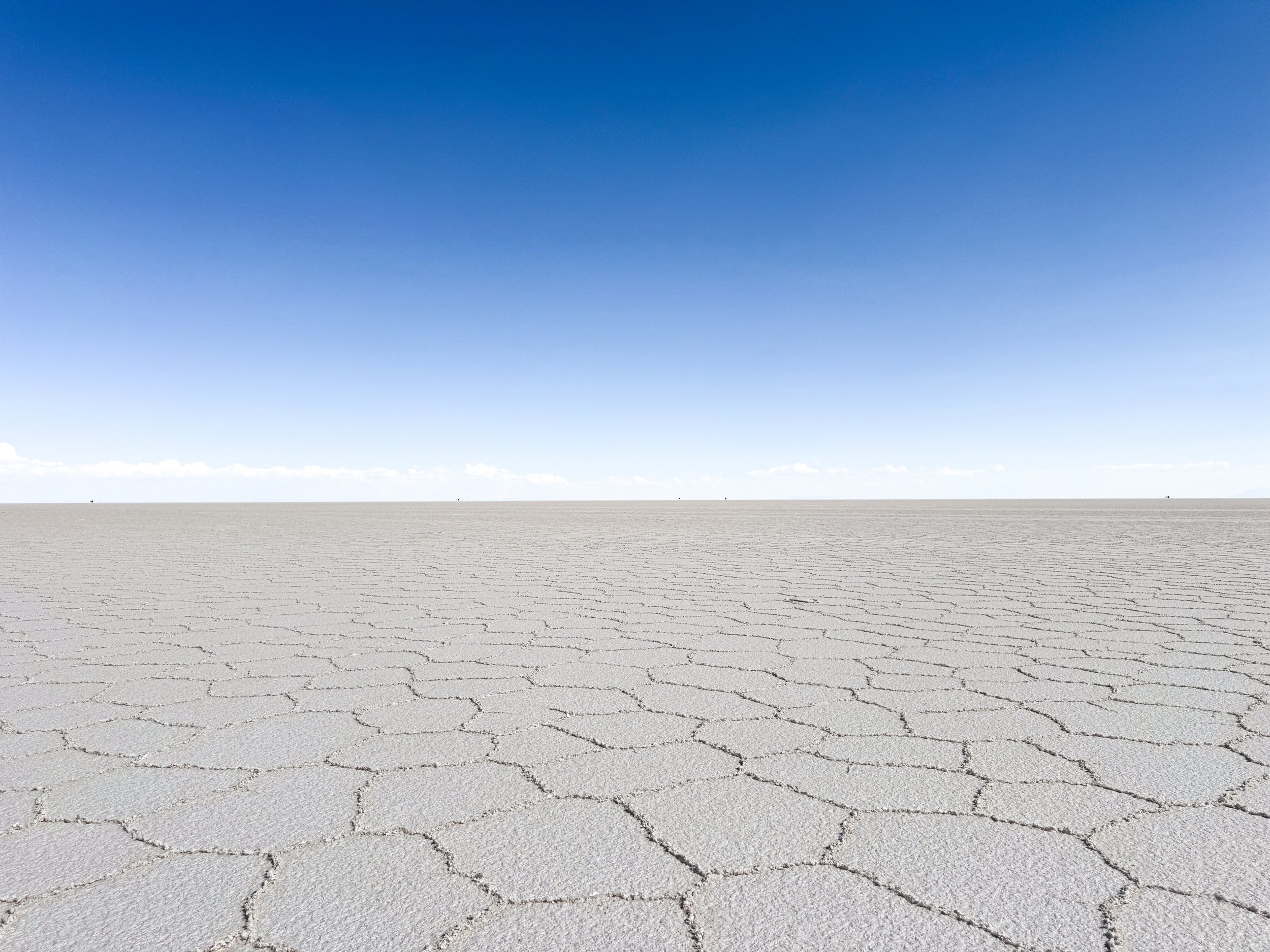
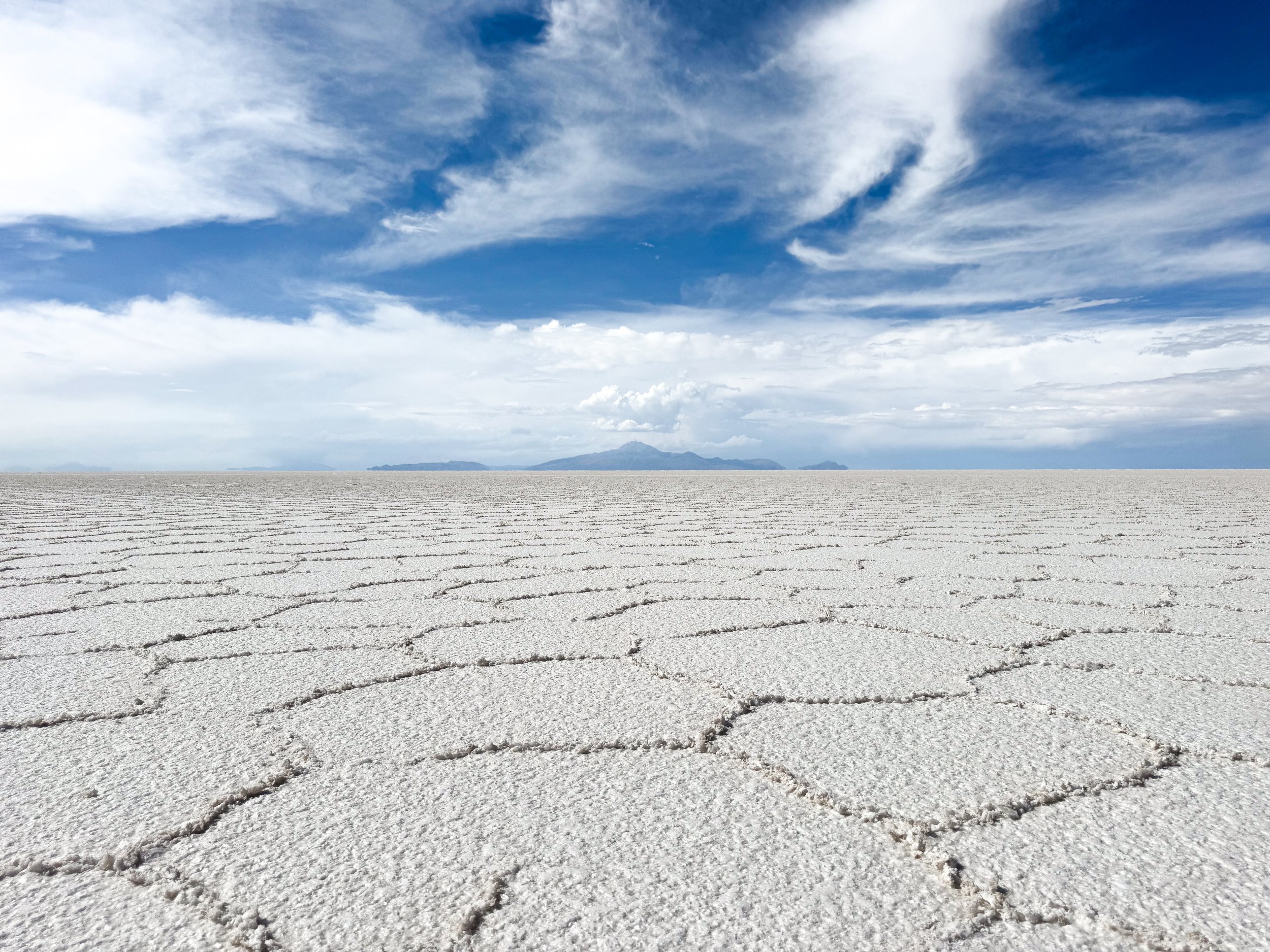
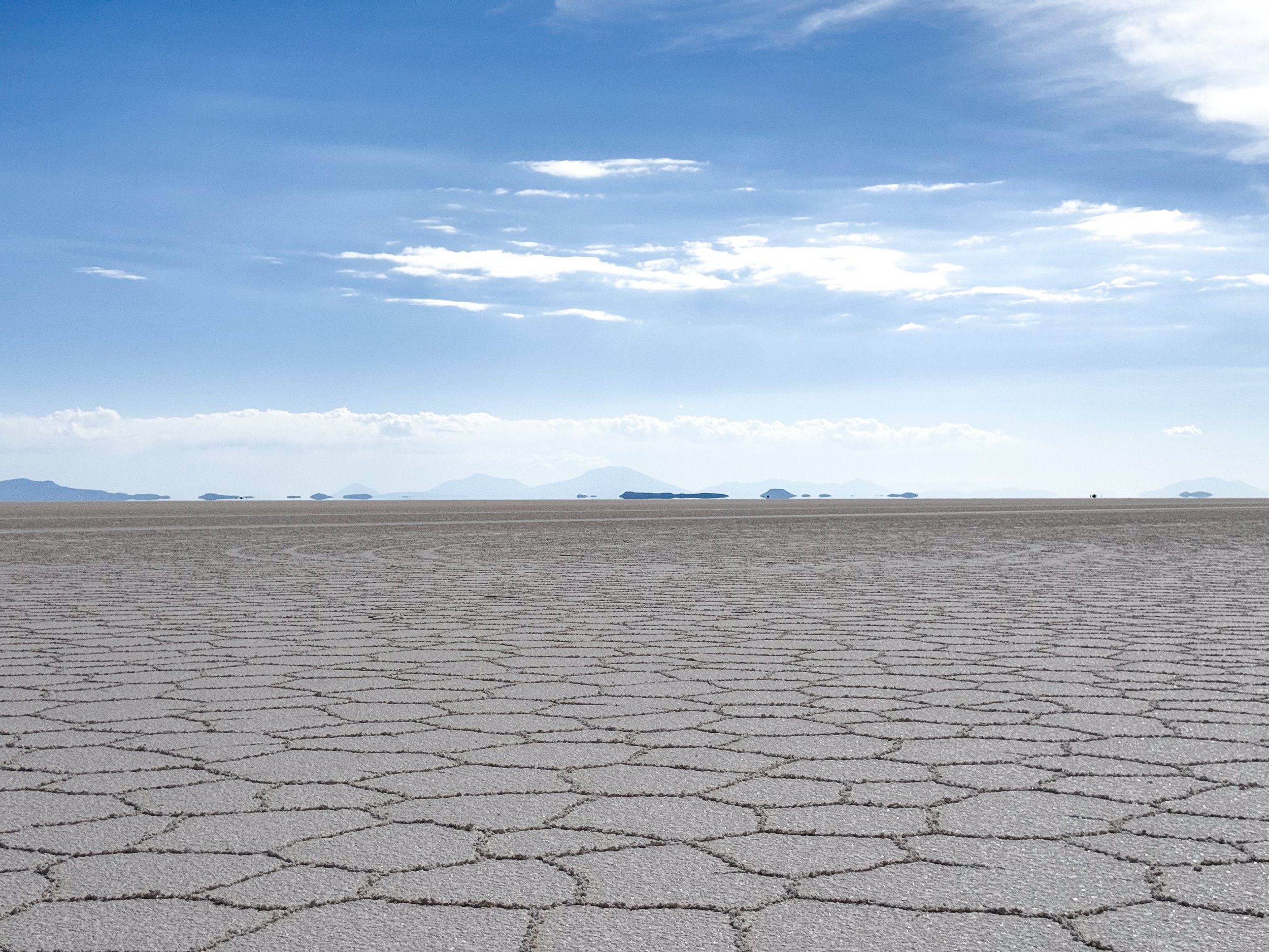
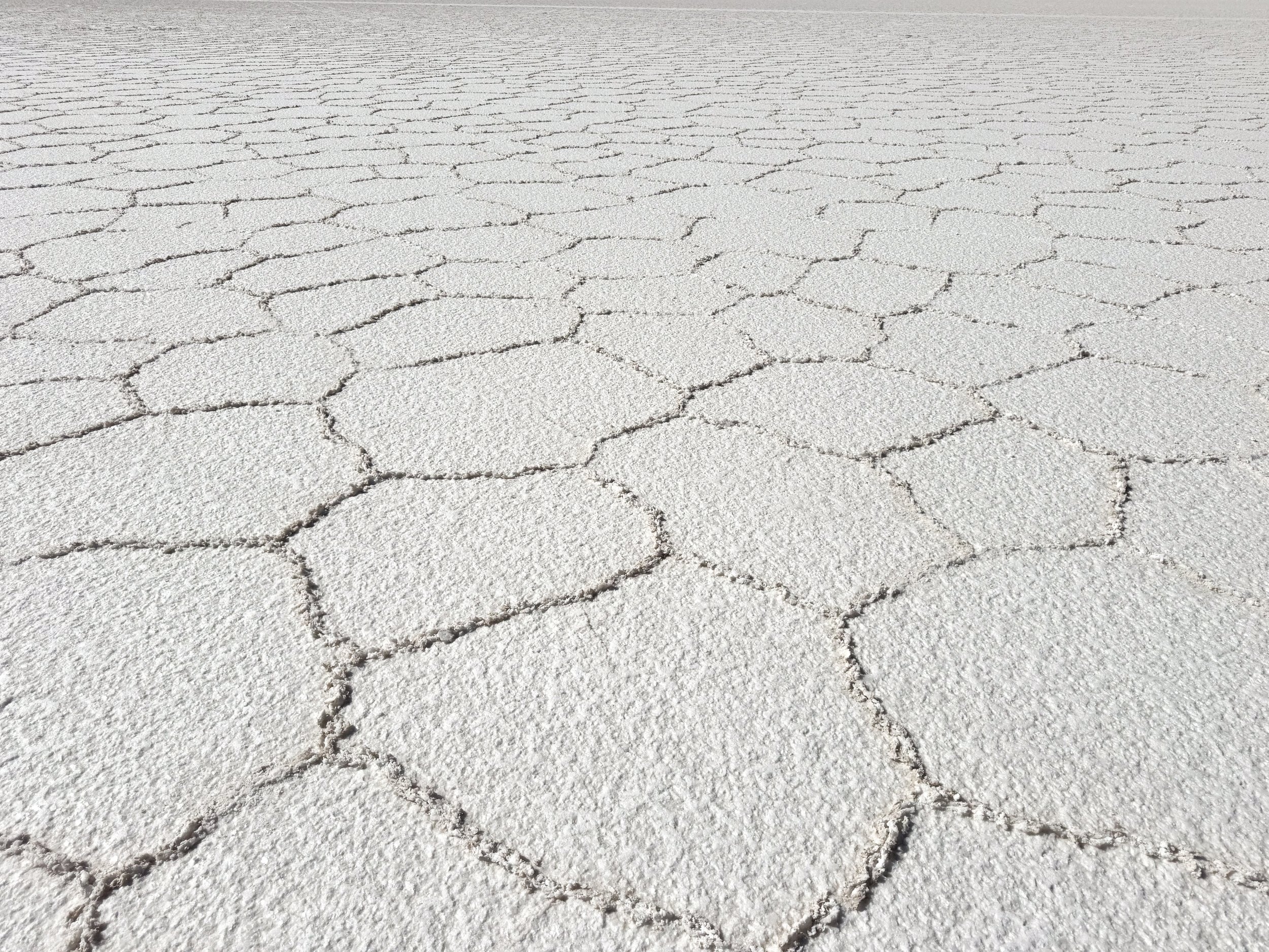
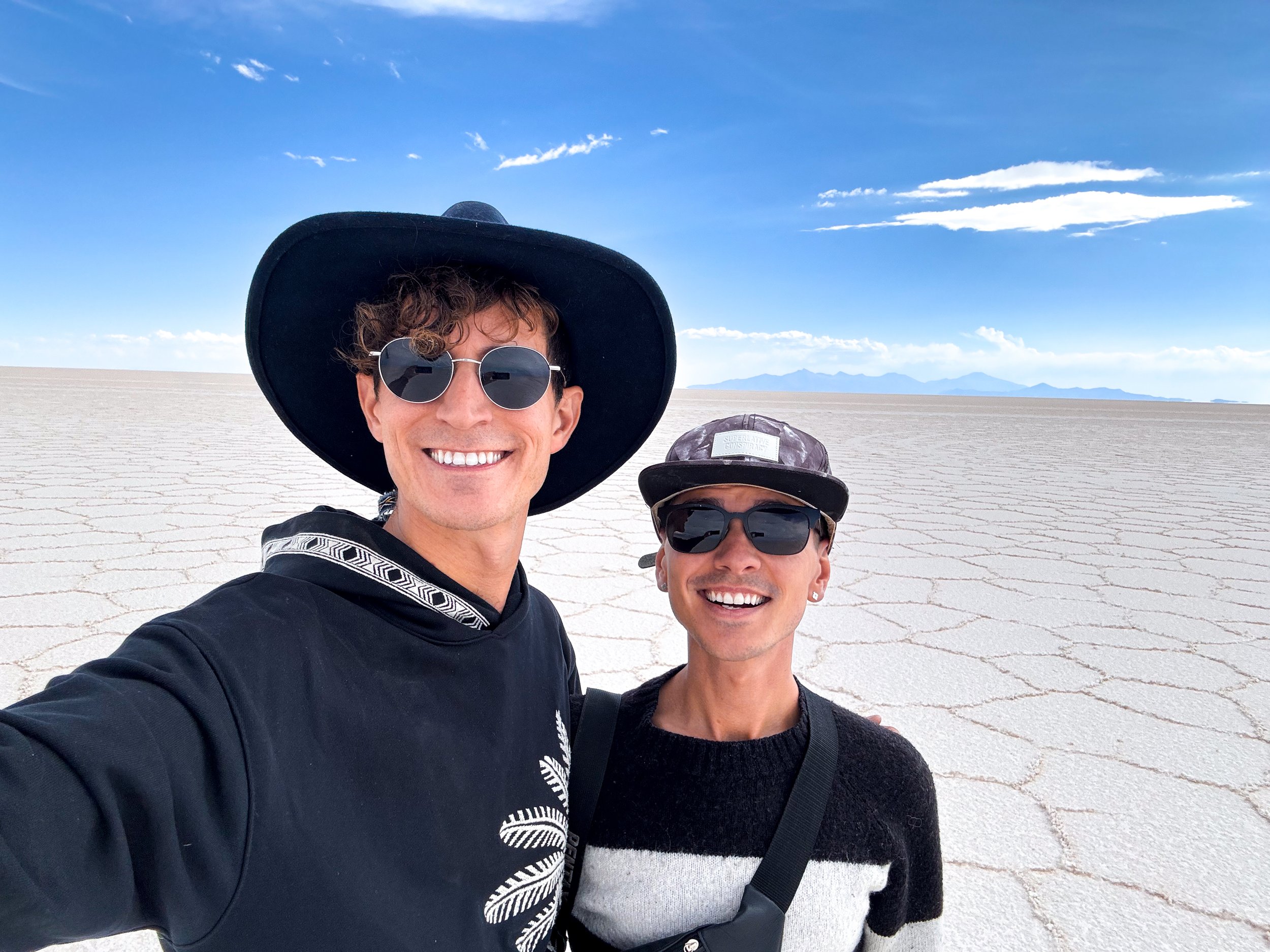
The Uyuni Salt Flats are the largest salt flats on the planet in the high Andes of Bolivia. We visited during the dry season when the salt created crusty white geometric patterns across the vast landscape.
After taking an overnight bus from La Paz, we drove far into the salt flats, away from civilization, where it was eerily quiet. We looked across the landscape admiring the bright white salt contrasted against the deep blue sky with silhouettes of volcanos and mountains on the horizon. Mirages formed making it appear as if some mountains were floating. Off of our peripheral, spiraling dust devils lurked in the distance while lighting from a storm latticed from dark clouds above the Andes.
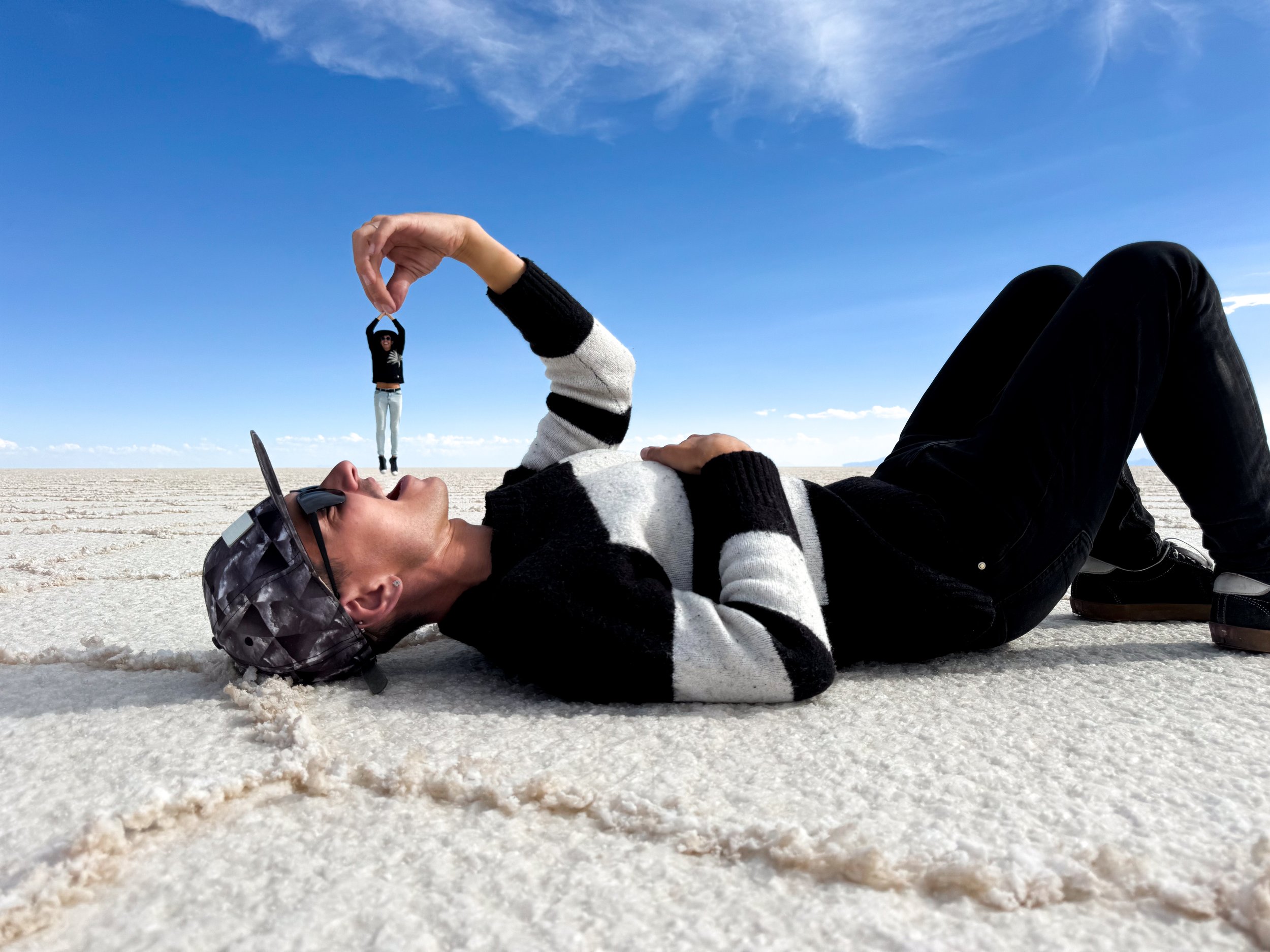
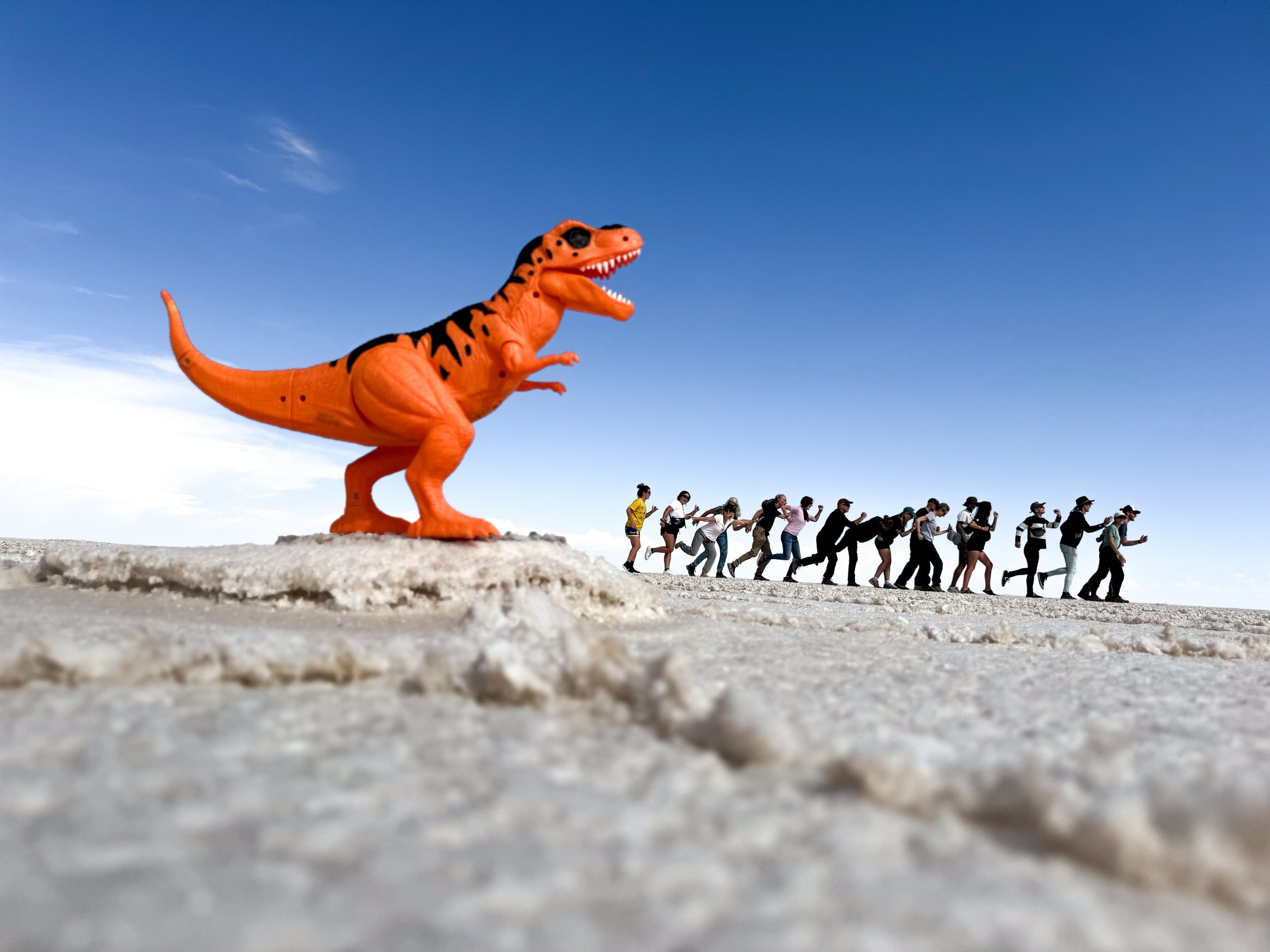
Due to the vast flatness, one of the big draws is to take forced perspective photos! Our guide took multiple of us and our group.
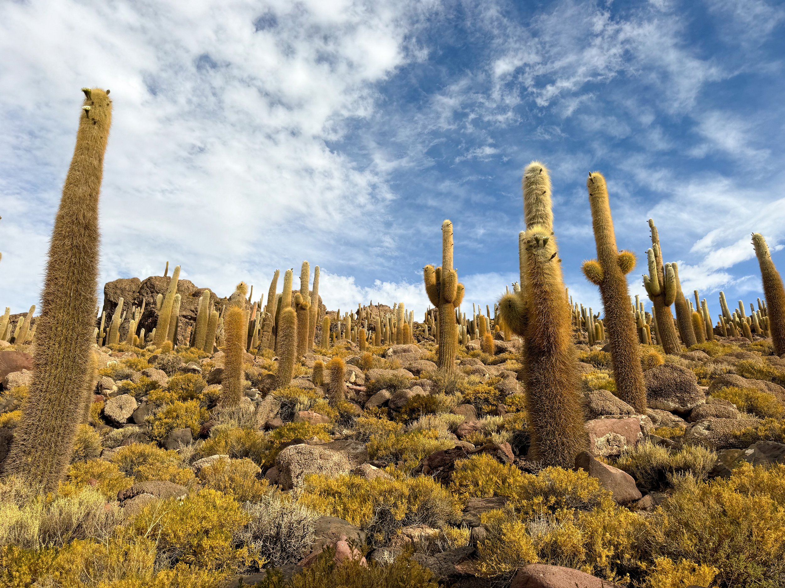
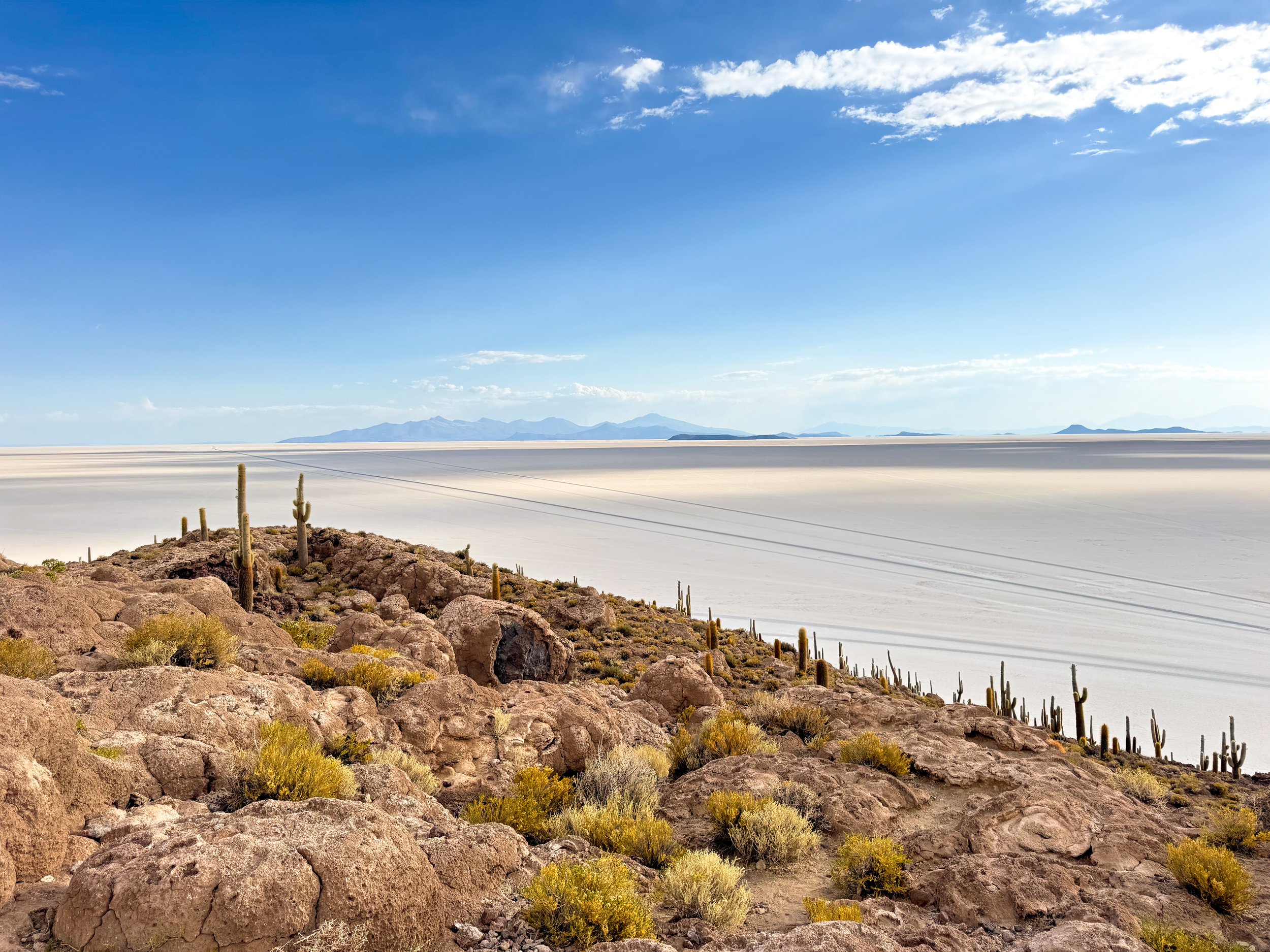
Isla Incahuasi
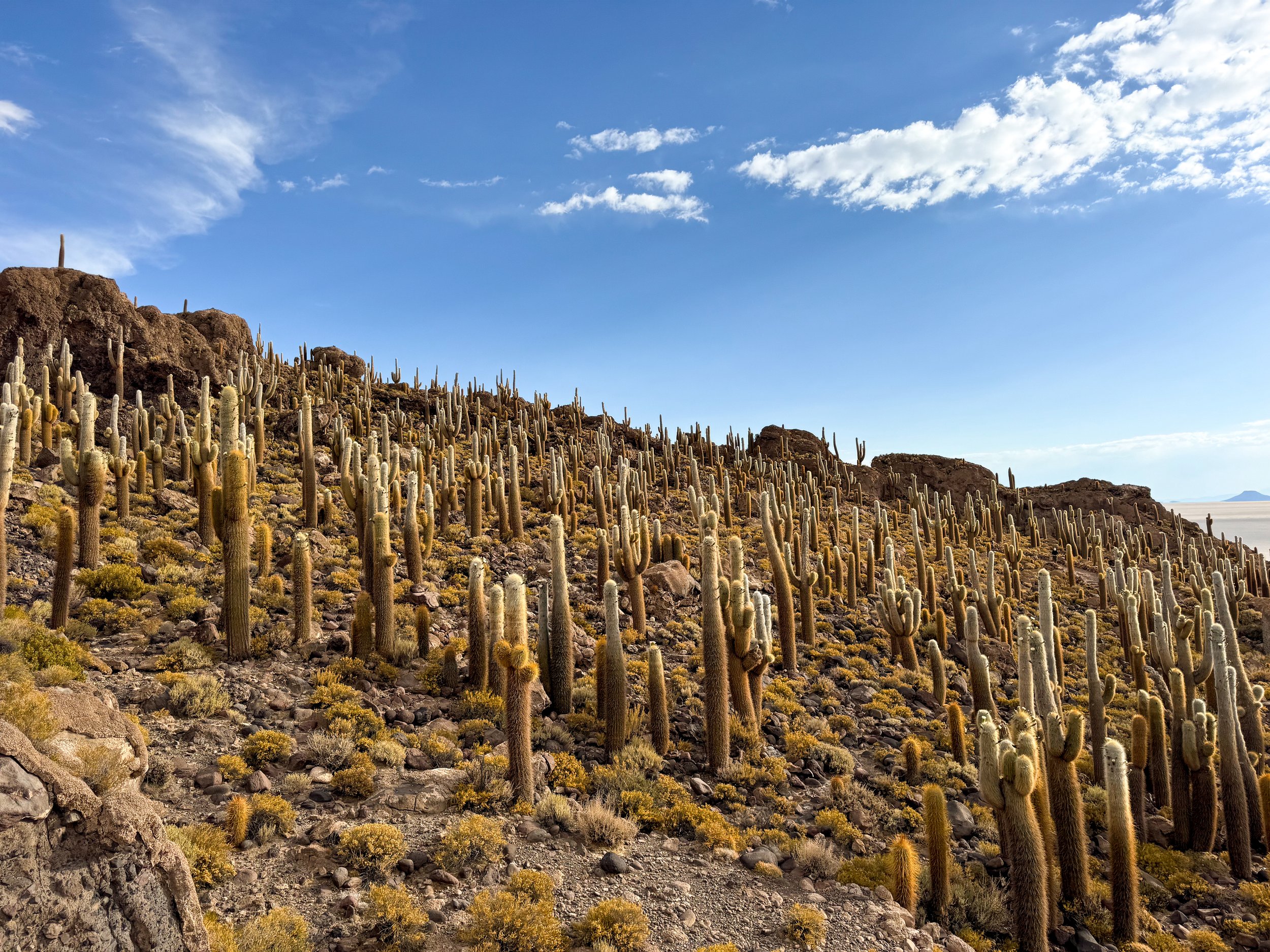
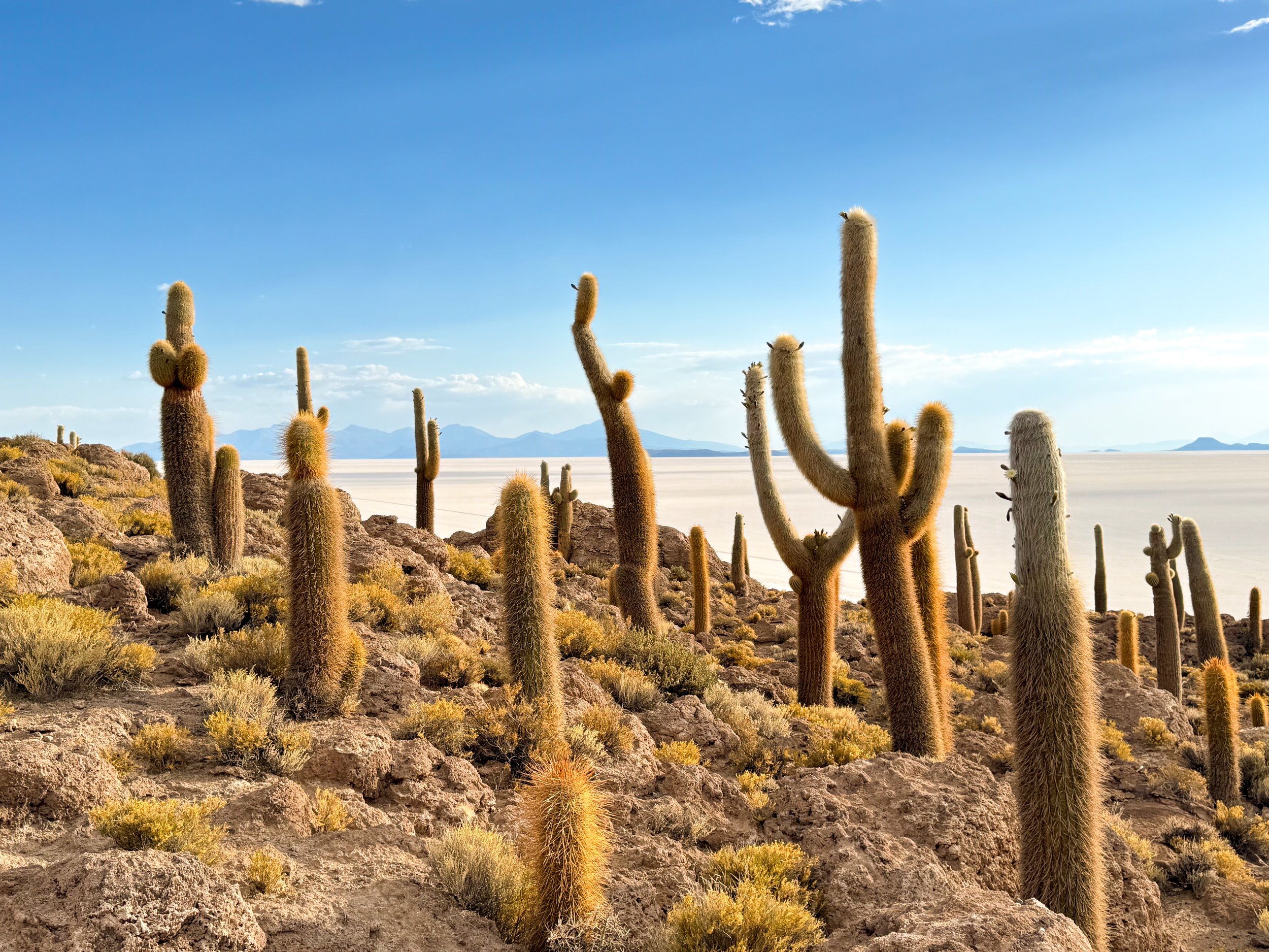
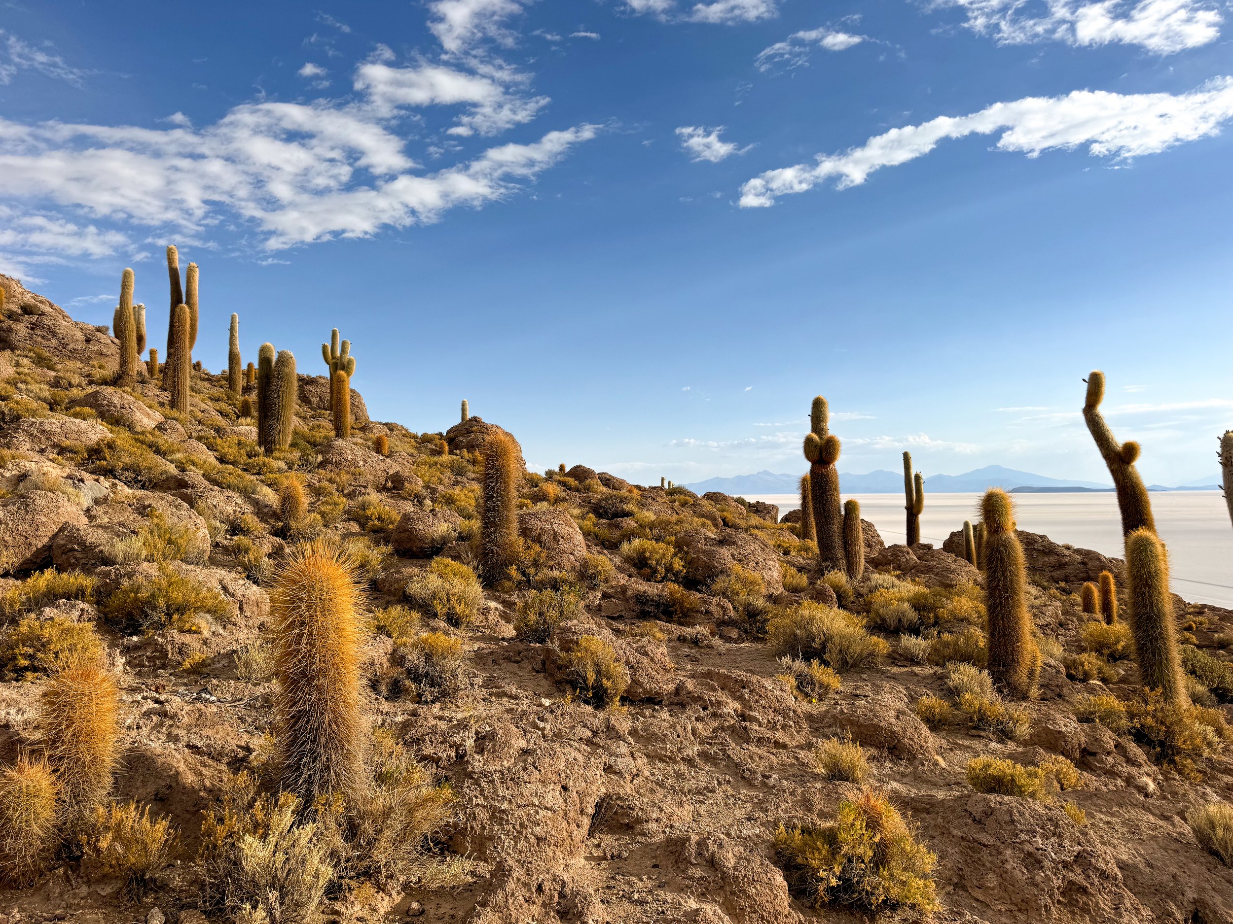
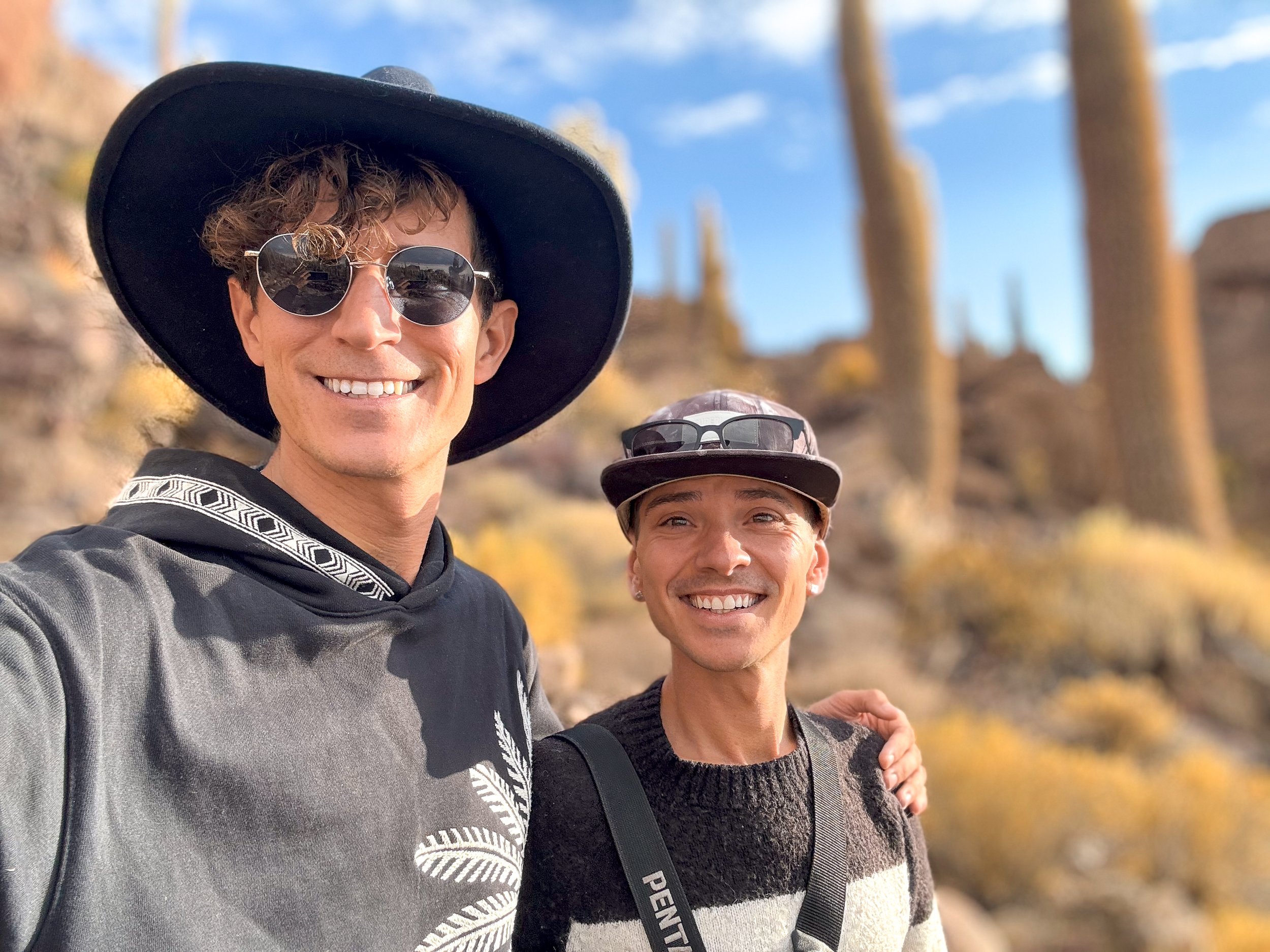
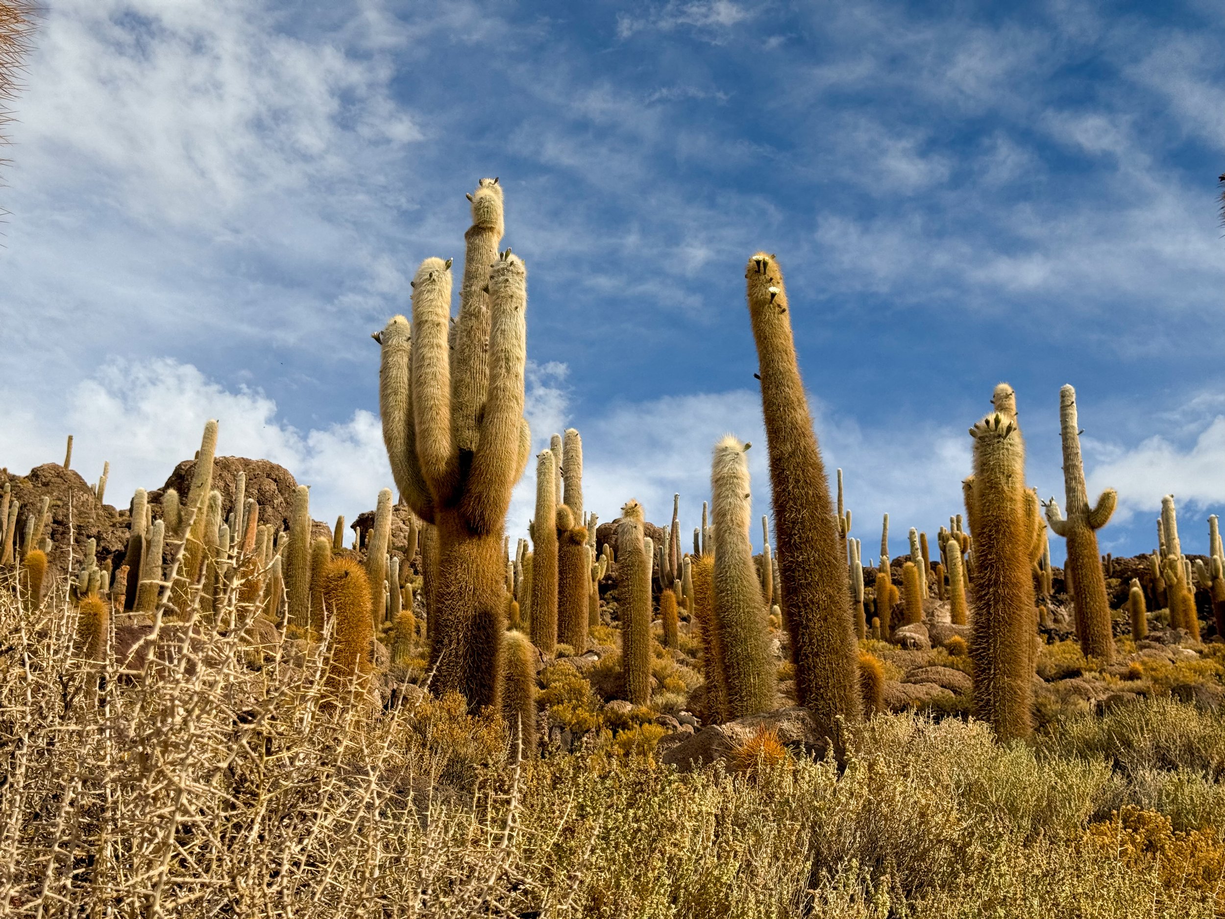
Isla Incahuasi is a volcanic island in the middle of the Uyuni Salt Flats covered in cacti, fossilized coral and stromatolites from when the area was a saltwater sea. A trail across the island leads to its summit with panoramic views of the salt flats and mountains in the distance. We visited in the southern spring (November) when many of the cacti were blossoming with white tuft-like flowers. Some of the cacti are over 1,000 years old and can live up to 2,500 years.
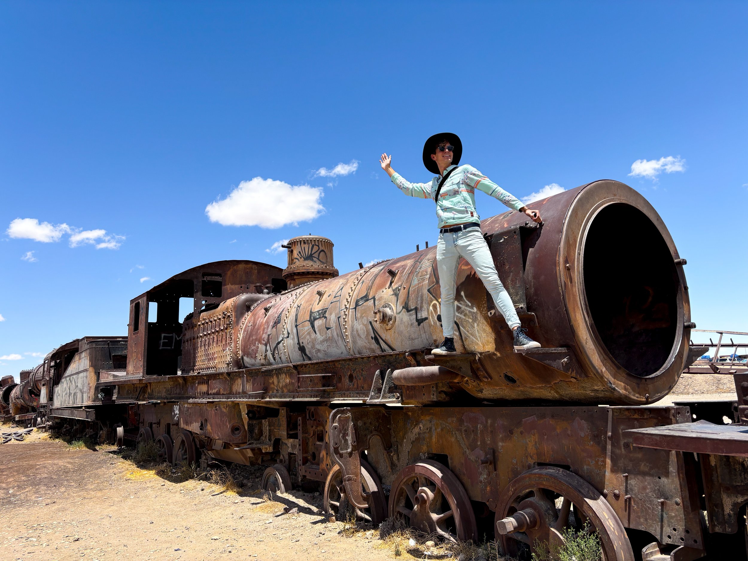
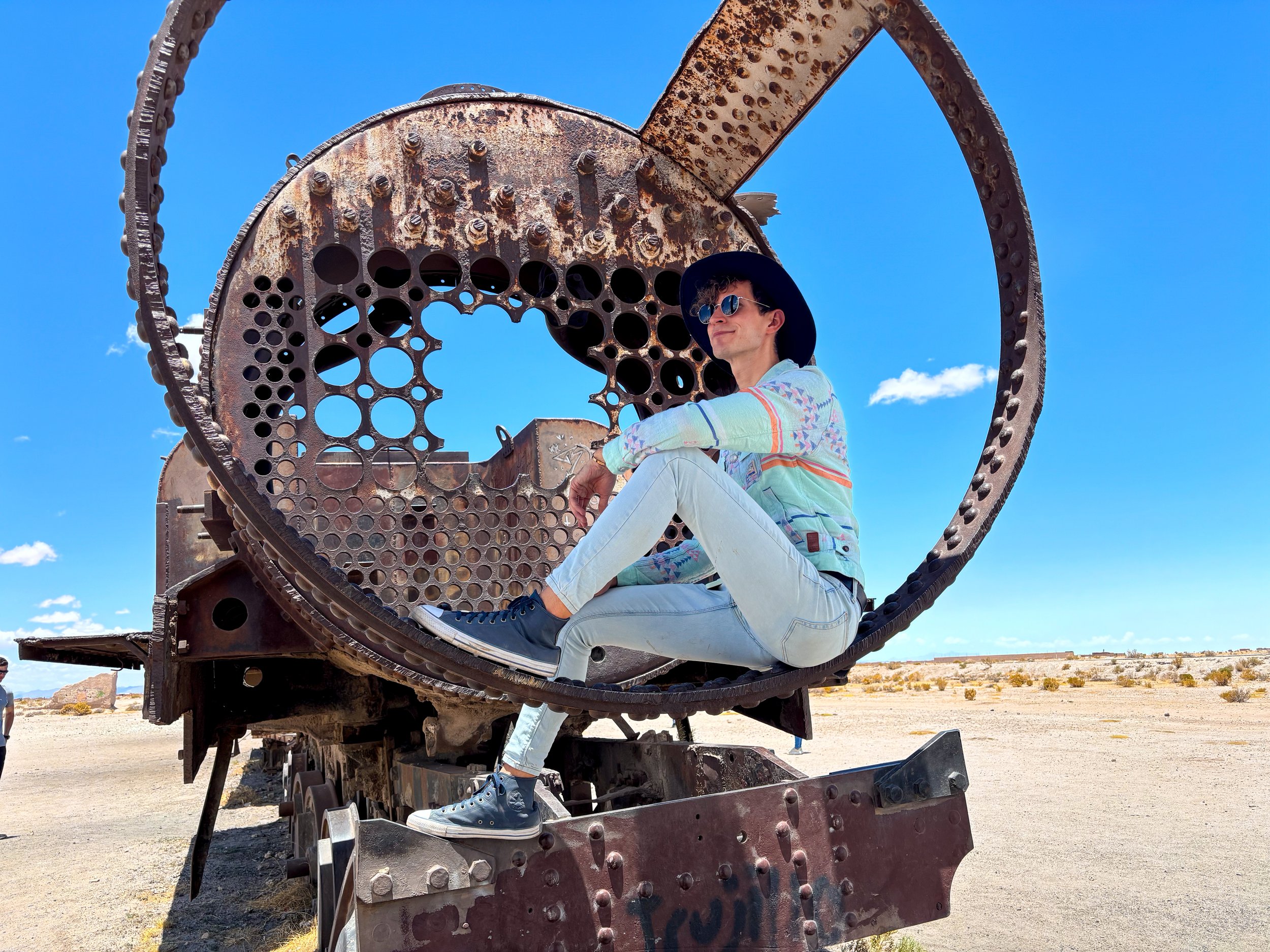
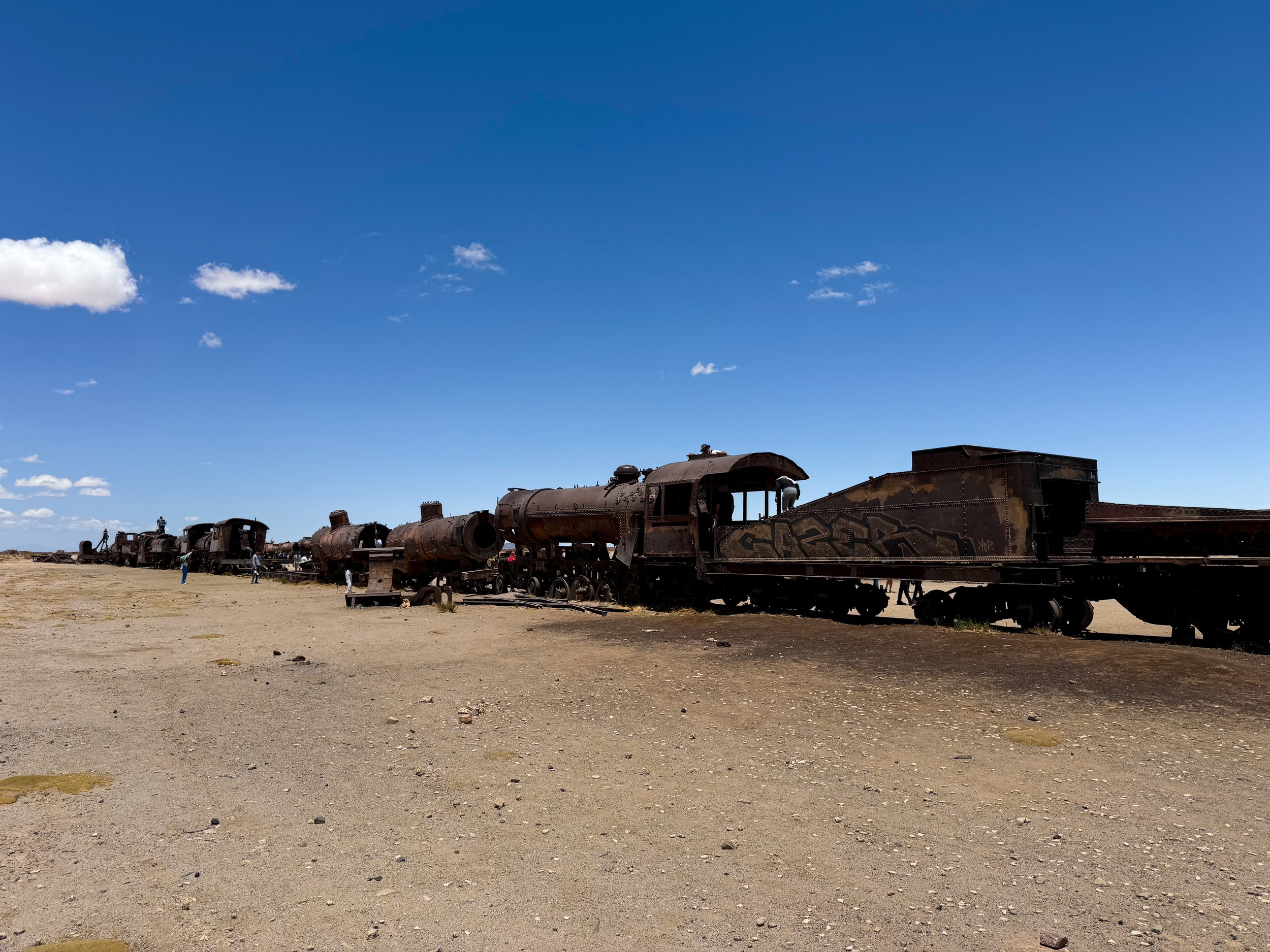
The Train Graveyard
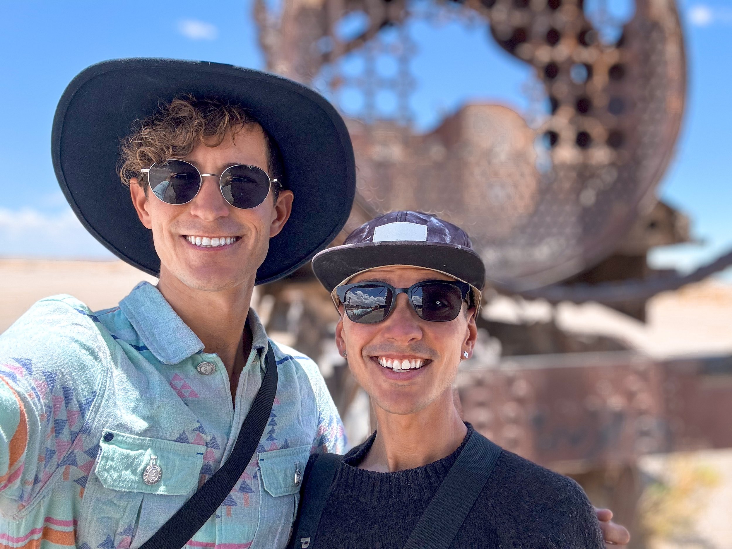
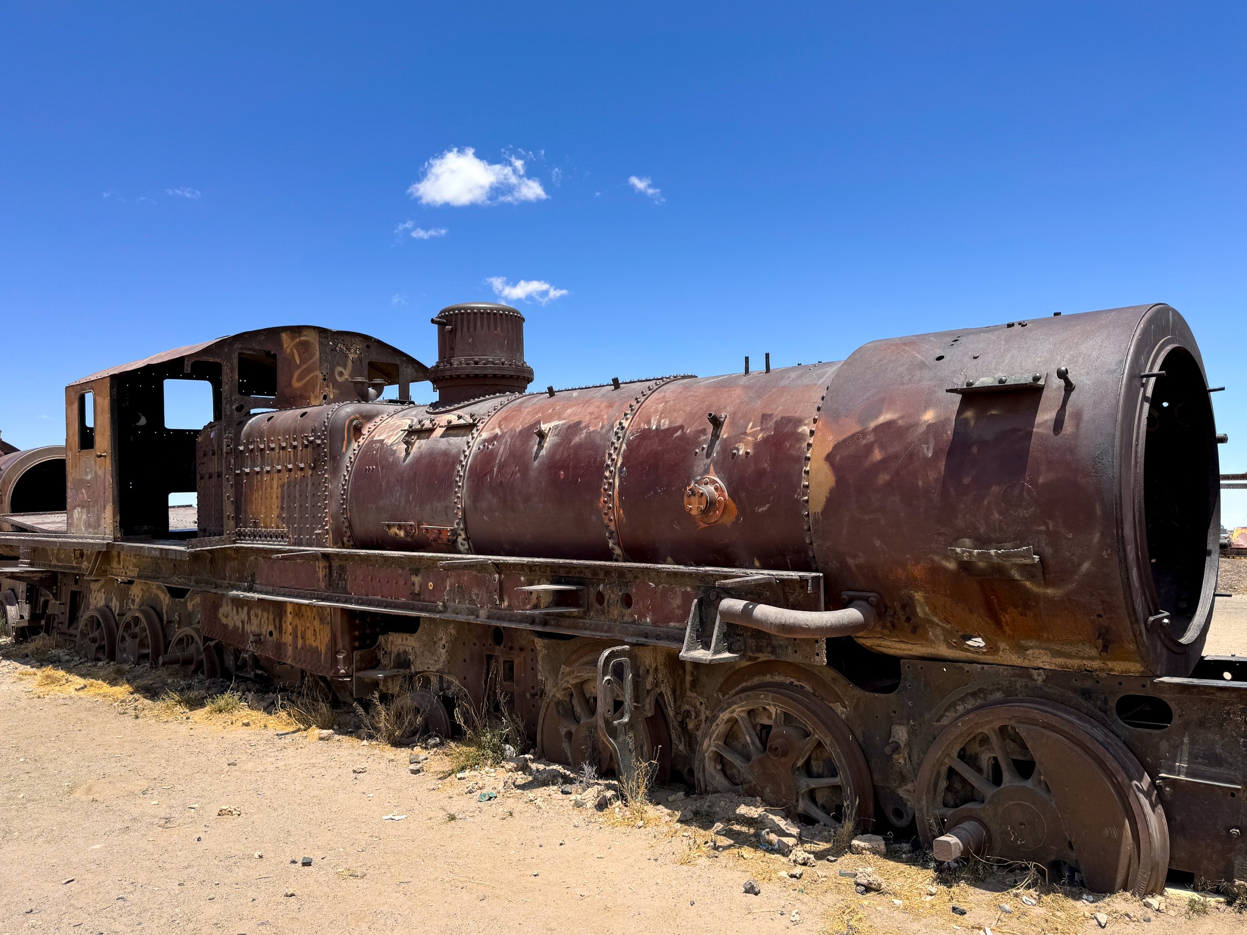
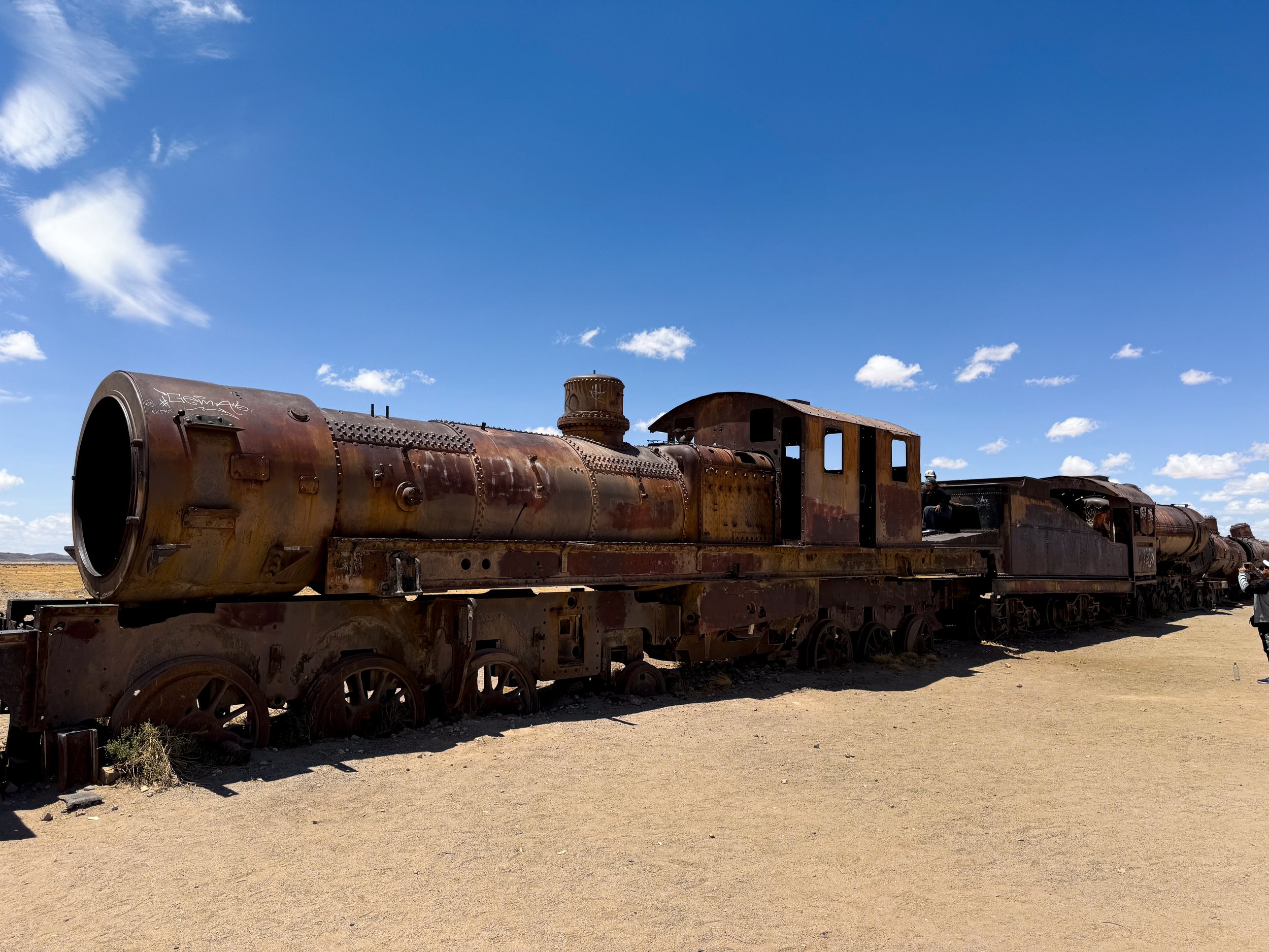
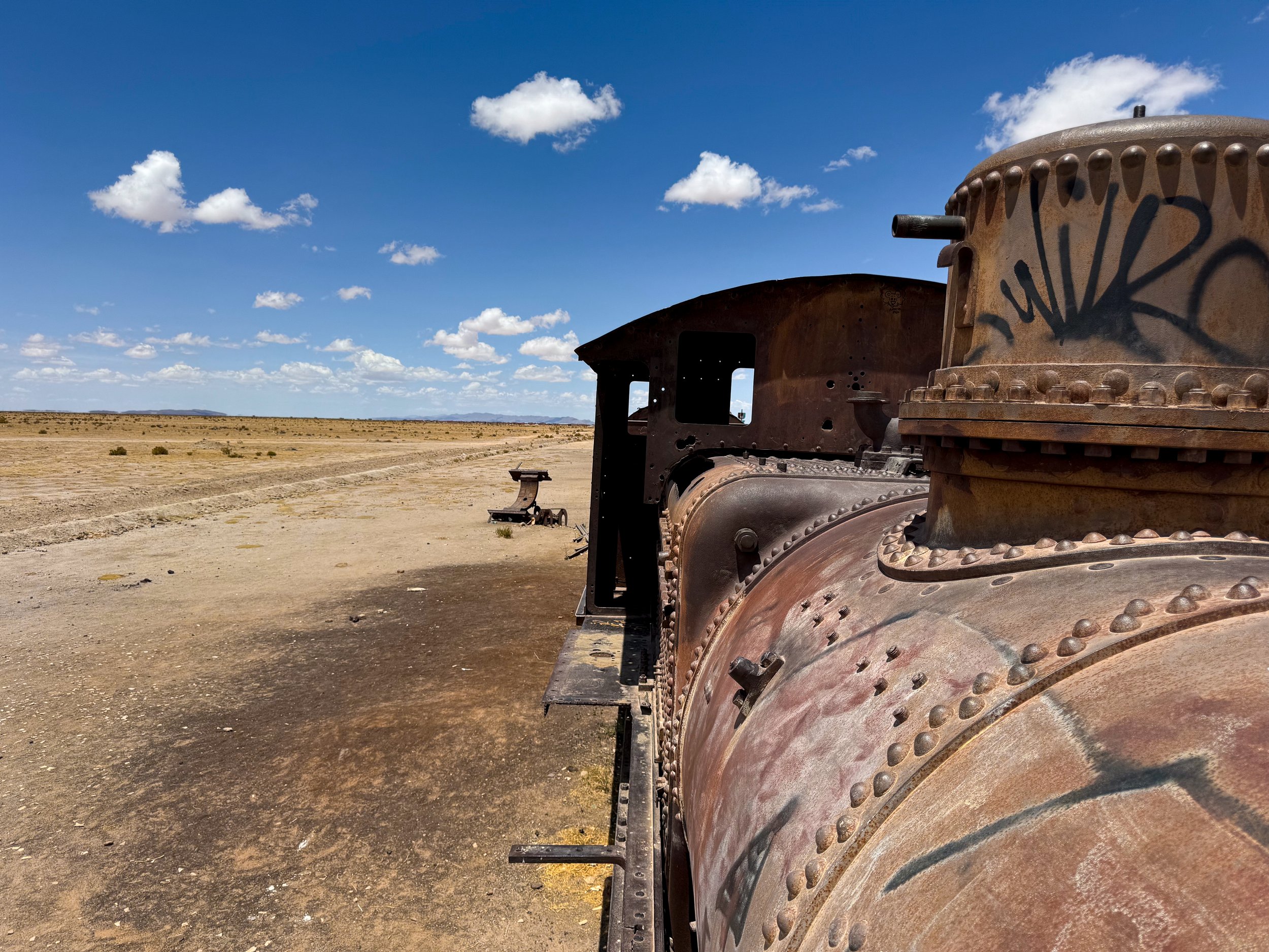
The Train Graveyard of rusted out track vintage train engines and cars. While here, we climbed on and inside the relics, snapping a few photos for the gram. It’s typically the first stop on any Uyuni tour.
(Off) Road Trip
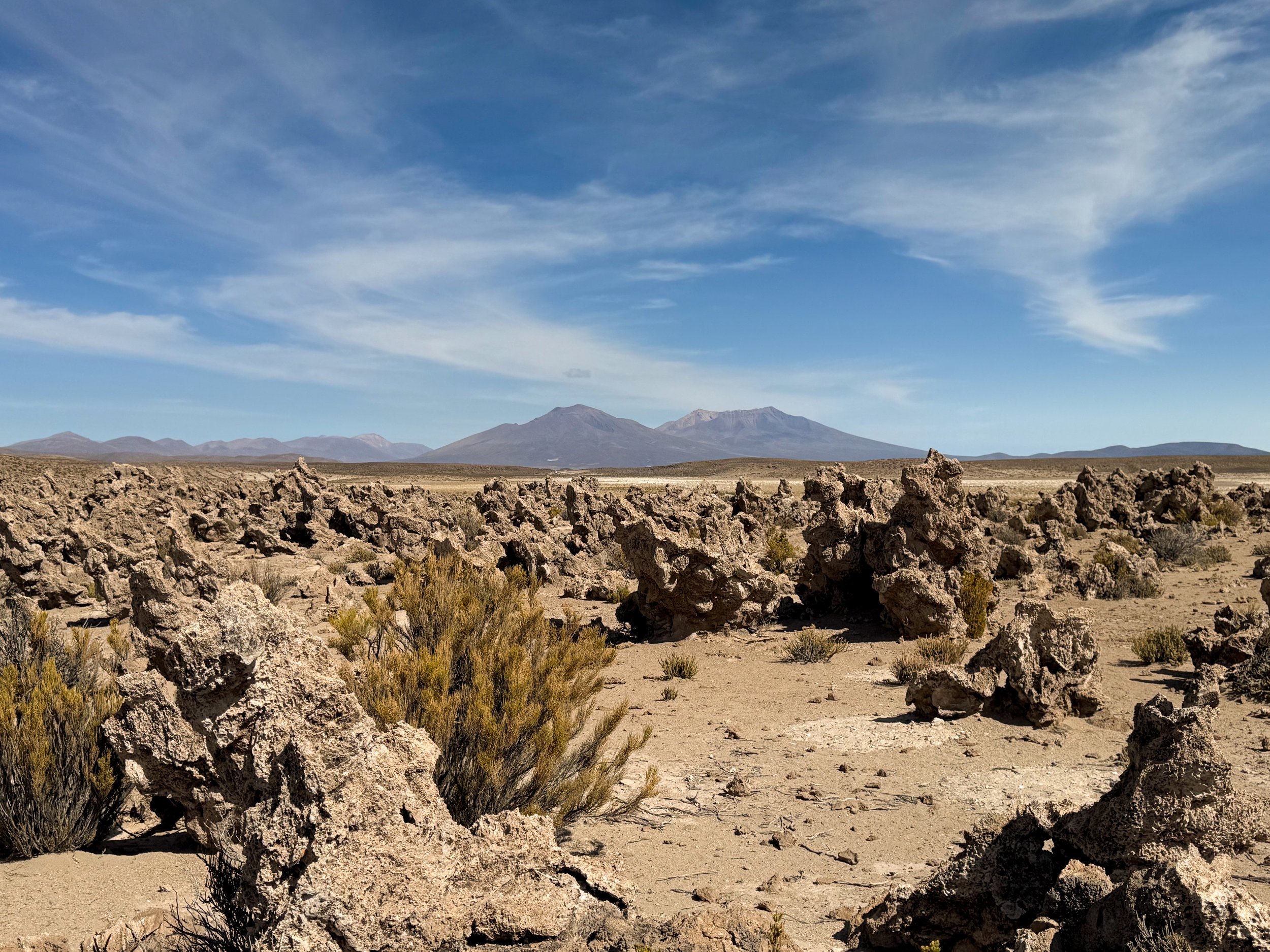
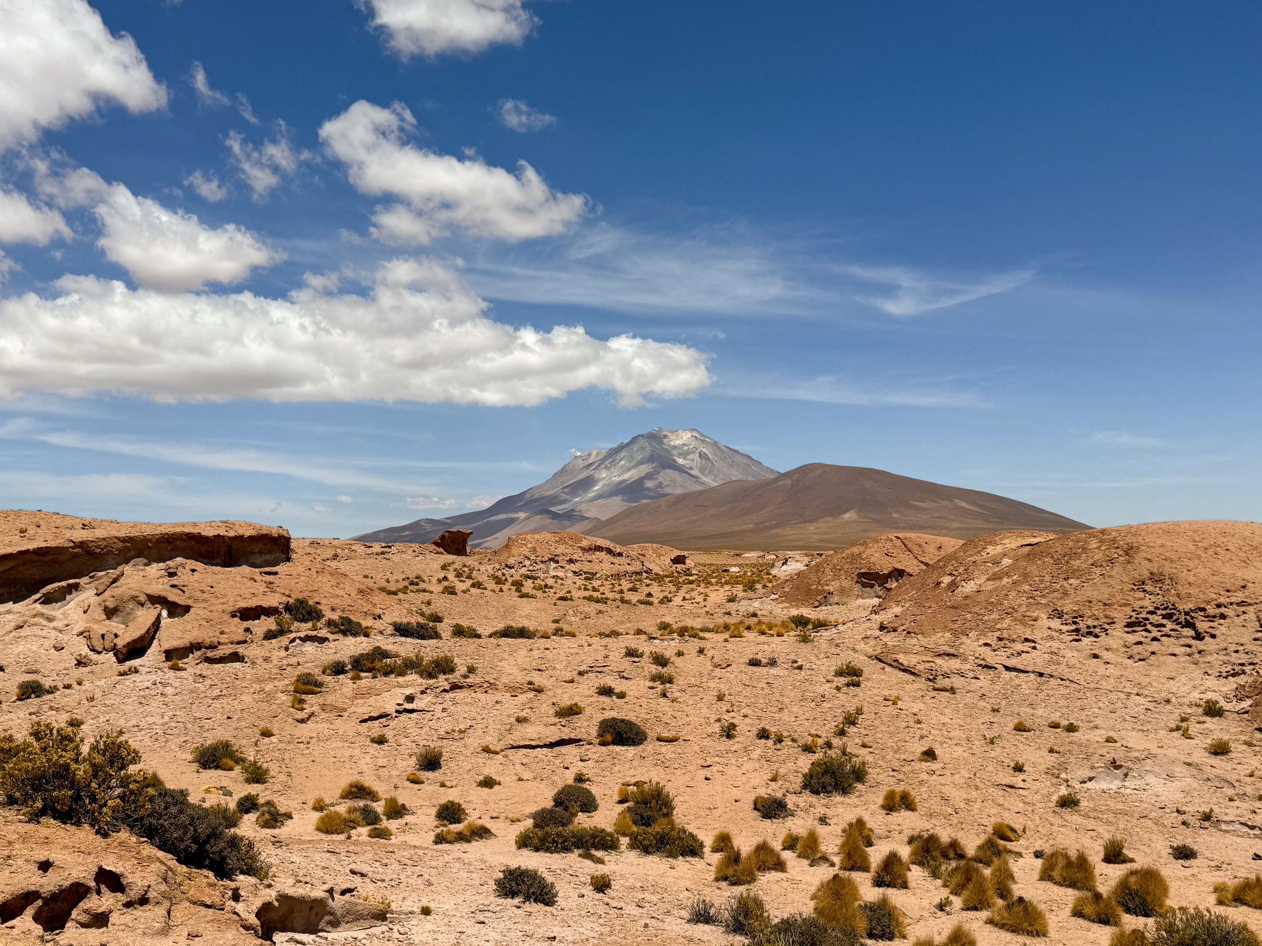
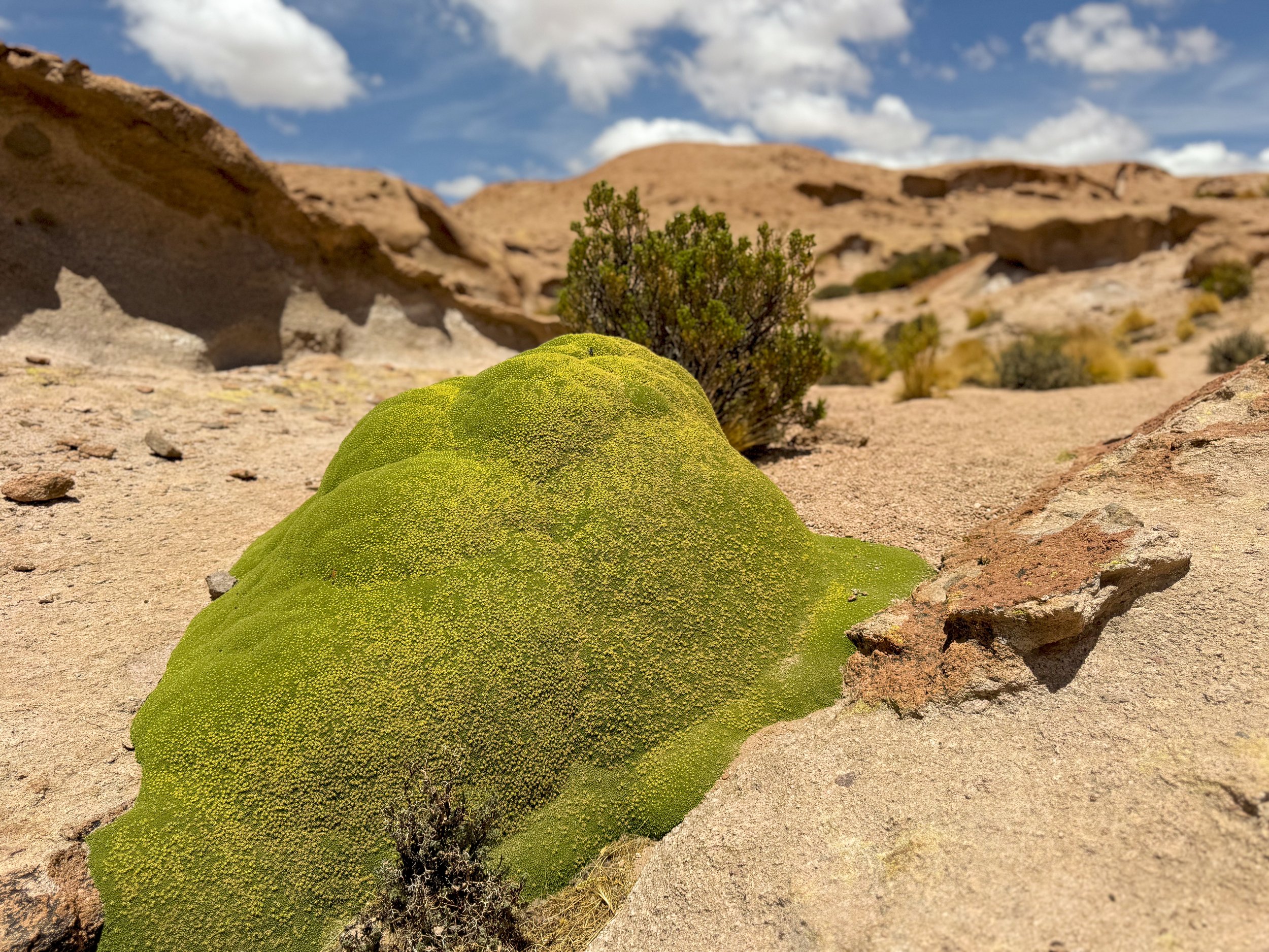
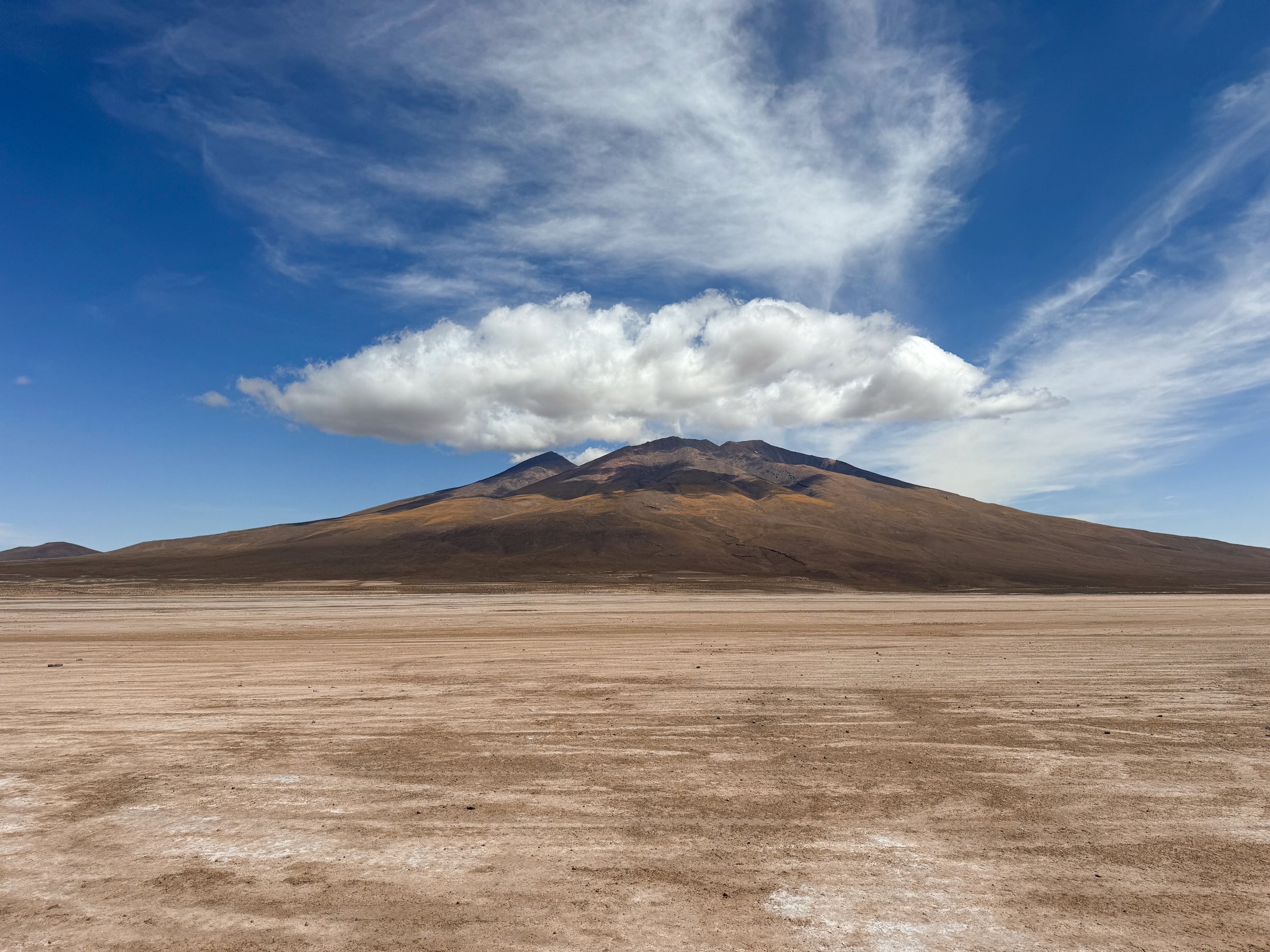
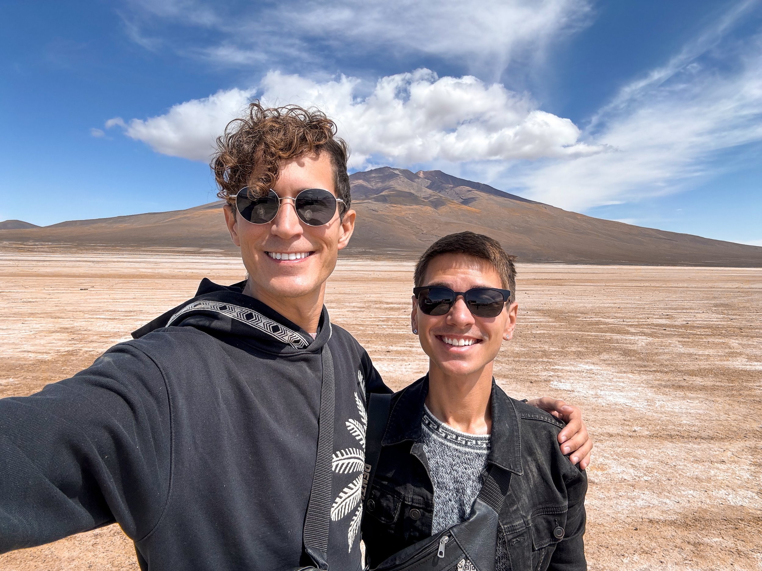
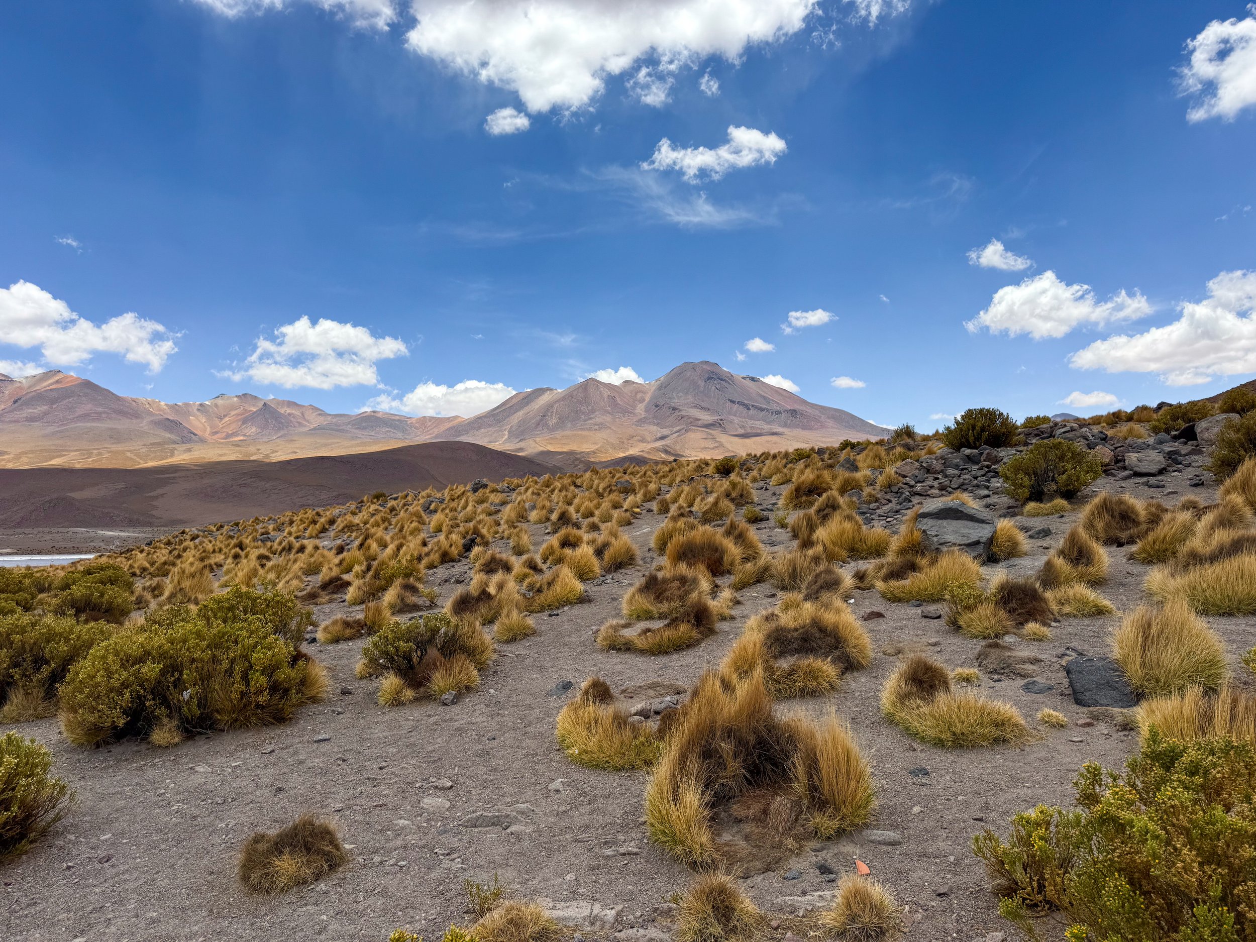
After Uyuni, we began our road trip across the Bolivian Desert down a bumpy dirt road past golden brown craggily fields with salt deposits, short dry shrubs and the cutest wild vicuñas. A cloud of dust followed us while no other cars were to be seen for many miles emphasizing the remoteness of the landscape. Reddish brown volcanic mountain ranges carry across the horizon reaching towards the blue sky painted with wispy white clouds. We continued for the next two days, visiting volcanic lookouts, colorful lagoons, desert rock formations and geothermal areas.
Volcanos
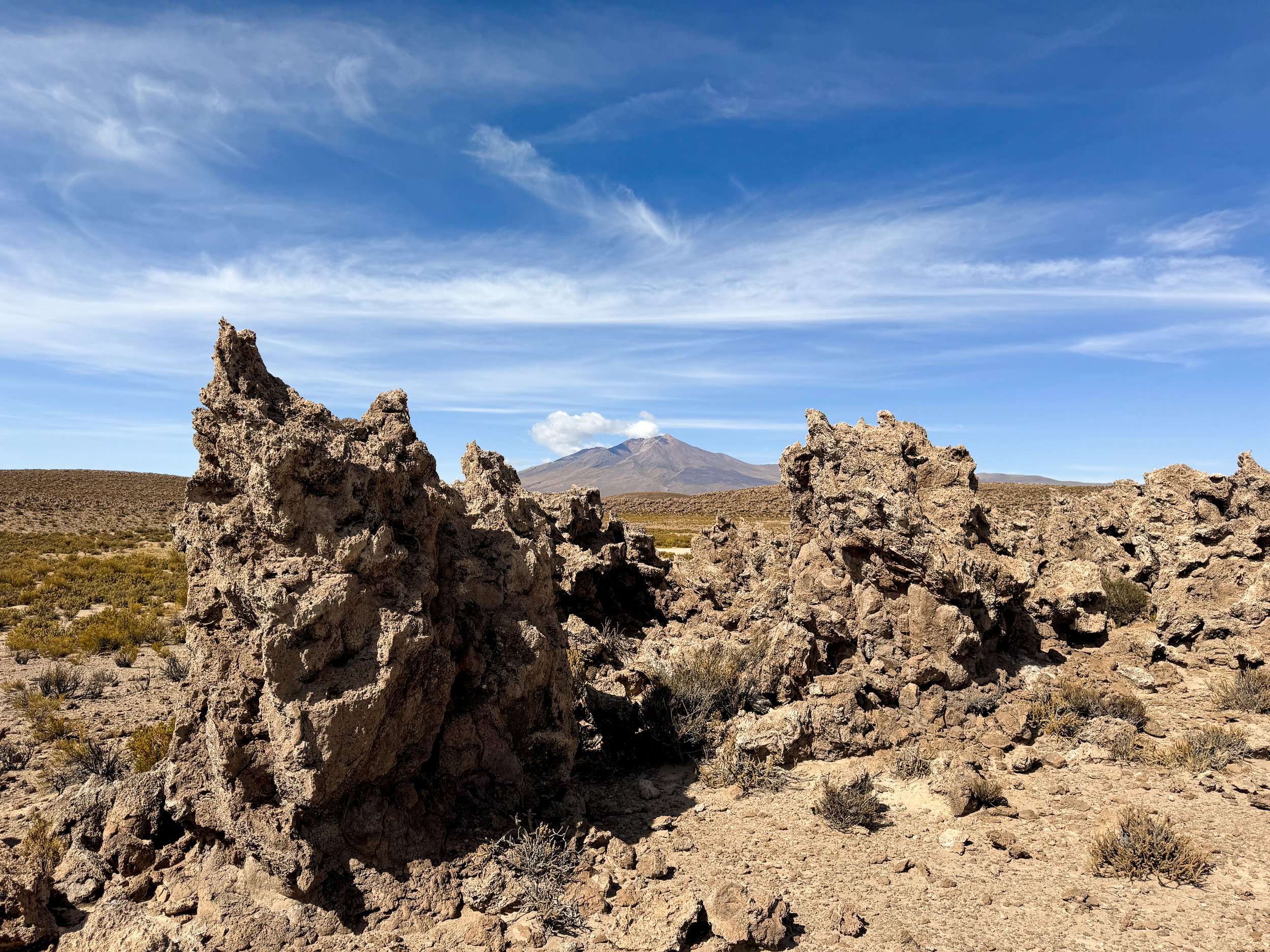
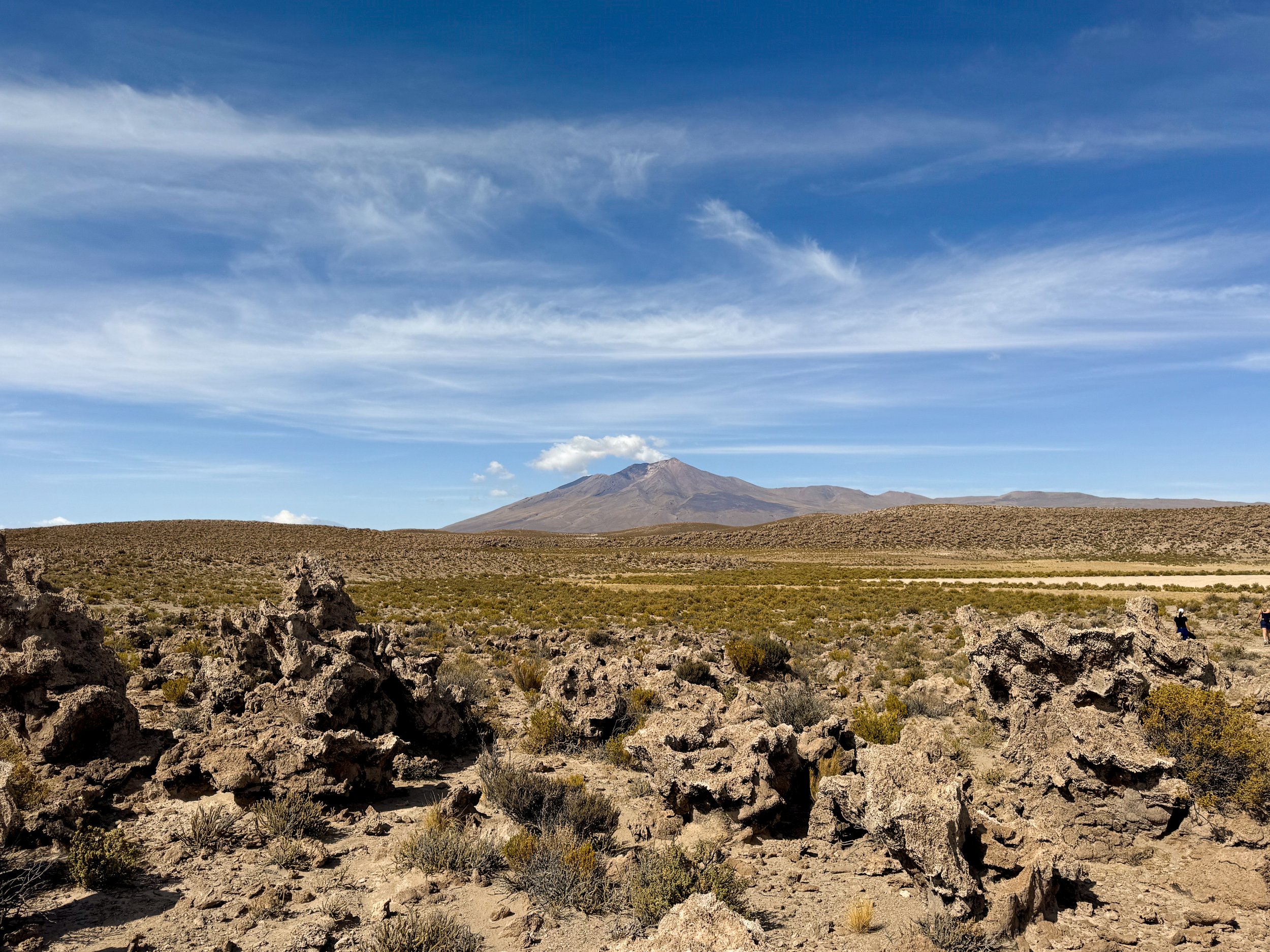
The Coral Garden. Our first stop brought us to an ancient coral garden. The landscape is covered in fossilized coral formations with jagged edges and tubular structures pushed up from the sea to 3,700 meters by the Andes over the past 11 million years. No longer home to marine life, small lizards, doves and mice inhabit the corals surrounded by prickly desert shrubs.
Chiguana Salt Flat. Our second stop brought us to the Chiguana Salt Flat surrounded by dozens of volcanos along the Bolivia/Chile boarder. We continued through extremely rugged and bumpy off roads across the desert while admiring the volcanic landscape as we slowly climbed in altitude.
Ollagüe Volcano Viewpoint. At 4,200 meters, we stopped to look over the volcanic landscape and Bolivia’s only semi-active volcano, Ollagüe Volcano. We walked along ancient lava flows and past nodules of vibrant green moss to the lookout. The caldera of the volcano is colored greenish yellow by sulphur while a cloud of steam steadily releases from it. The view point had a restroom, cafe and small shop. We enjoyed a coca tea and bought coca beer, coca chocolate and roasted snacks.
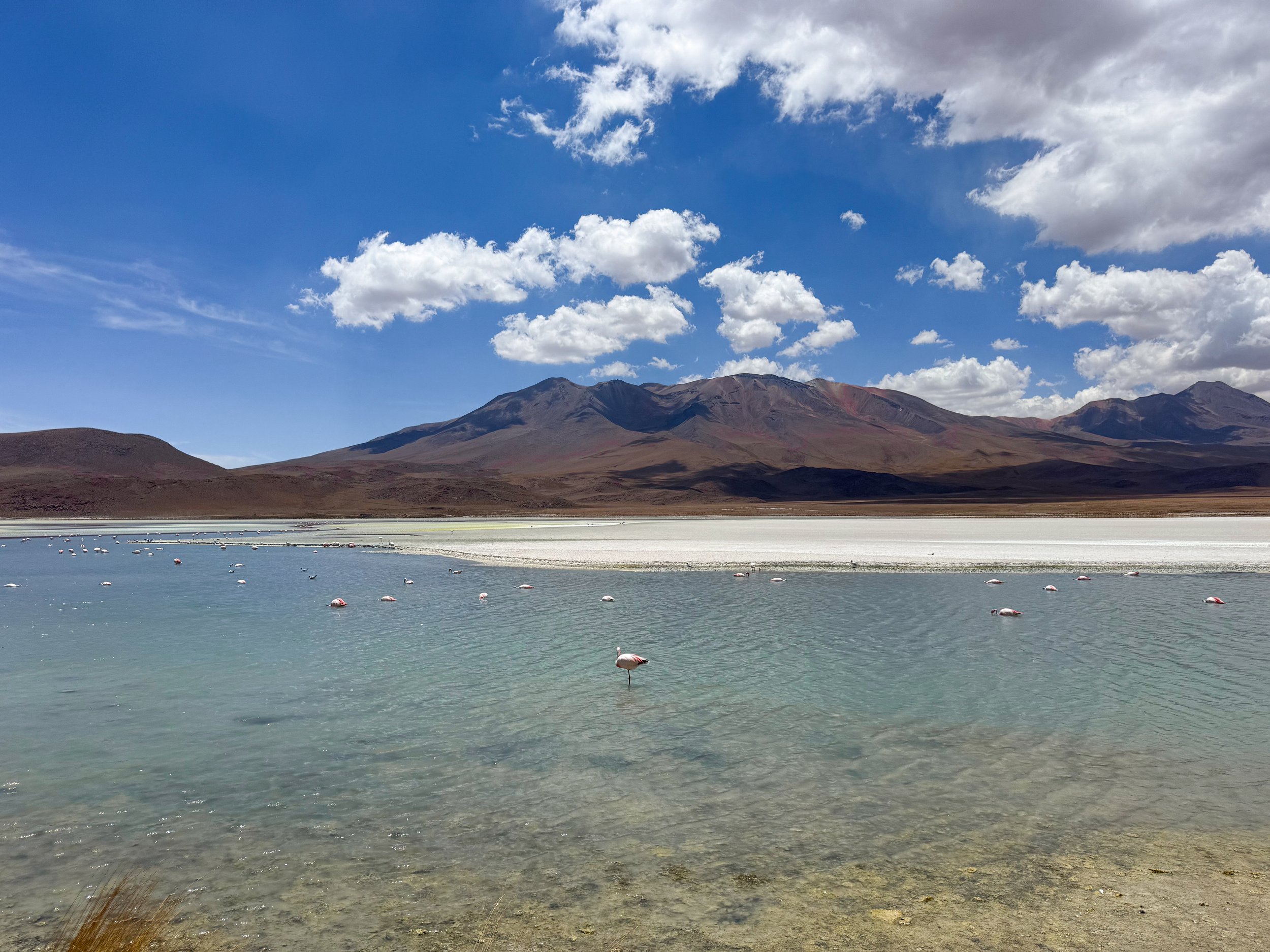
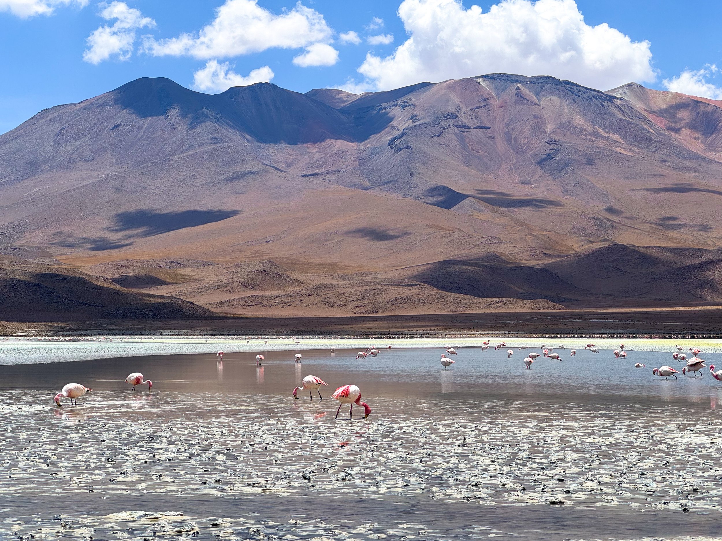
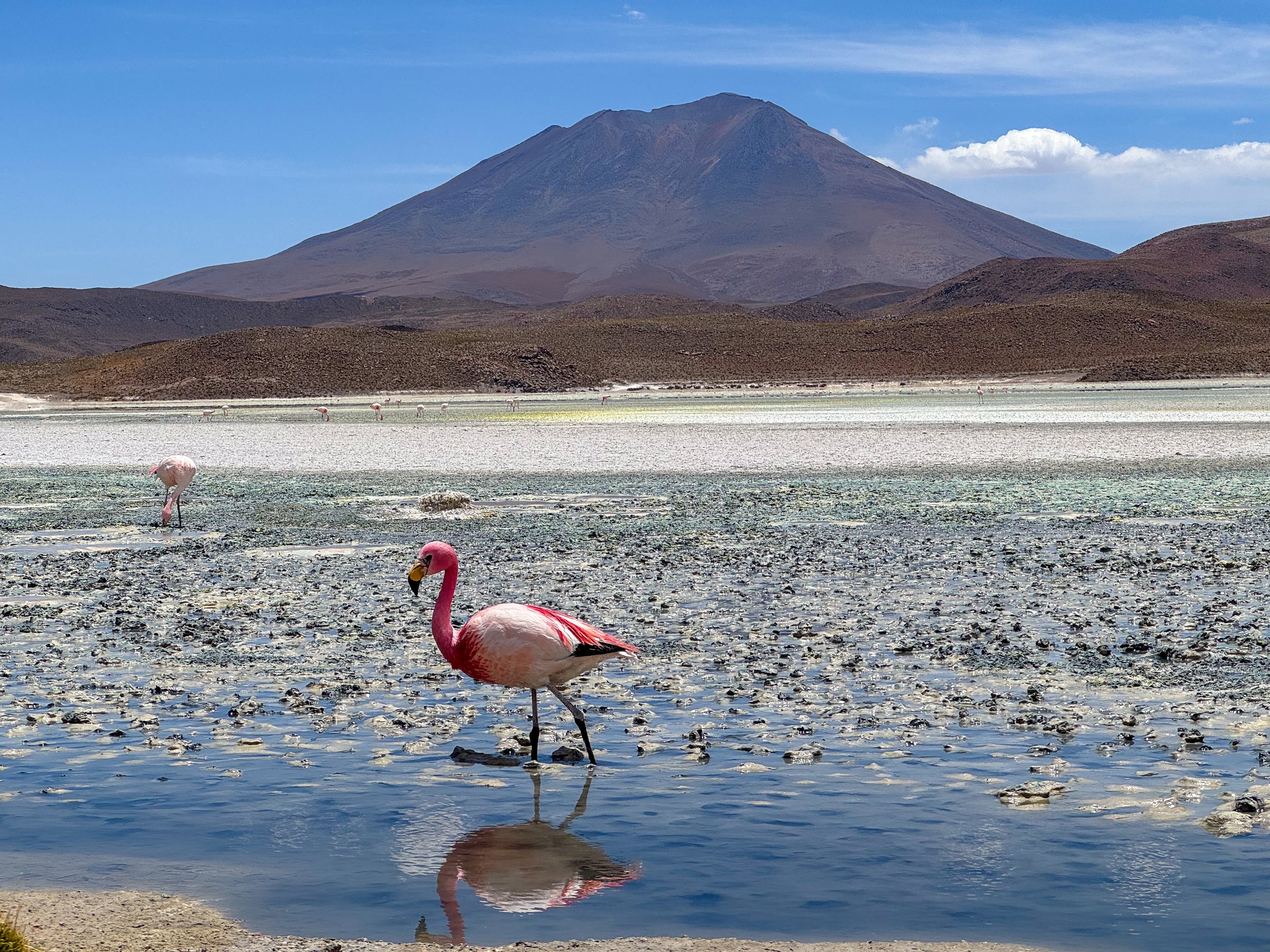
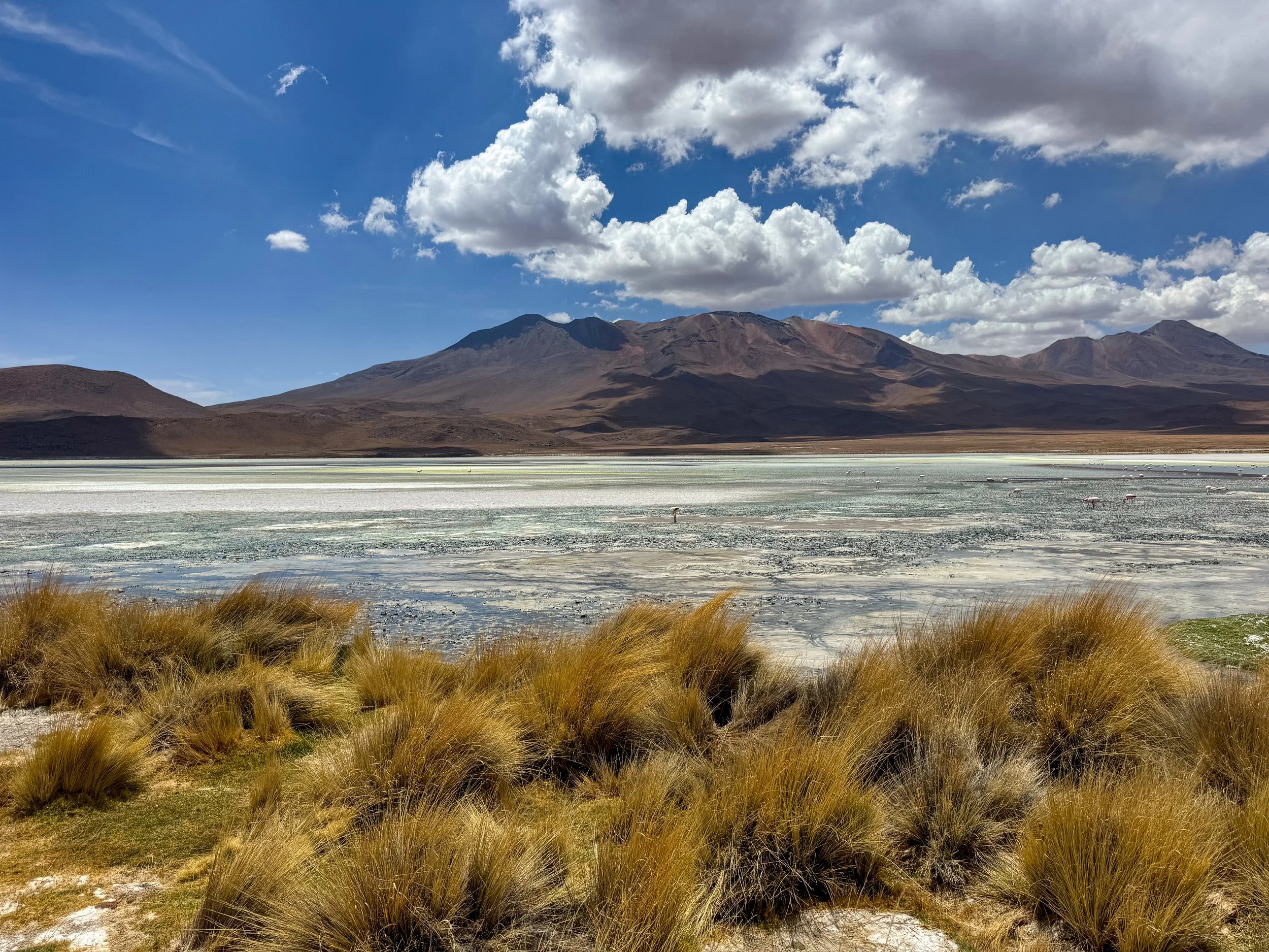
Bolivian Lagoons
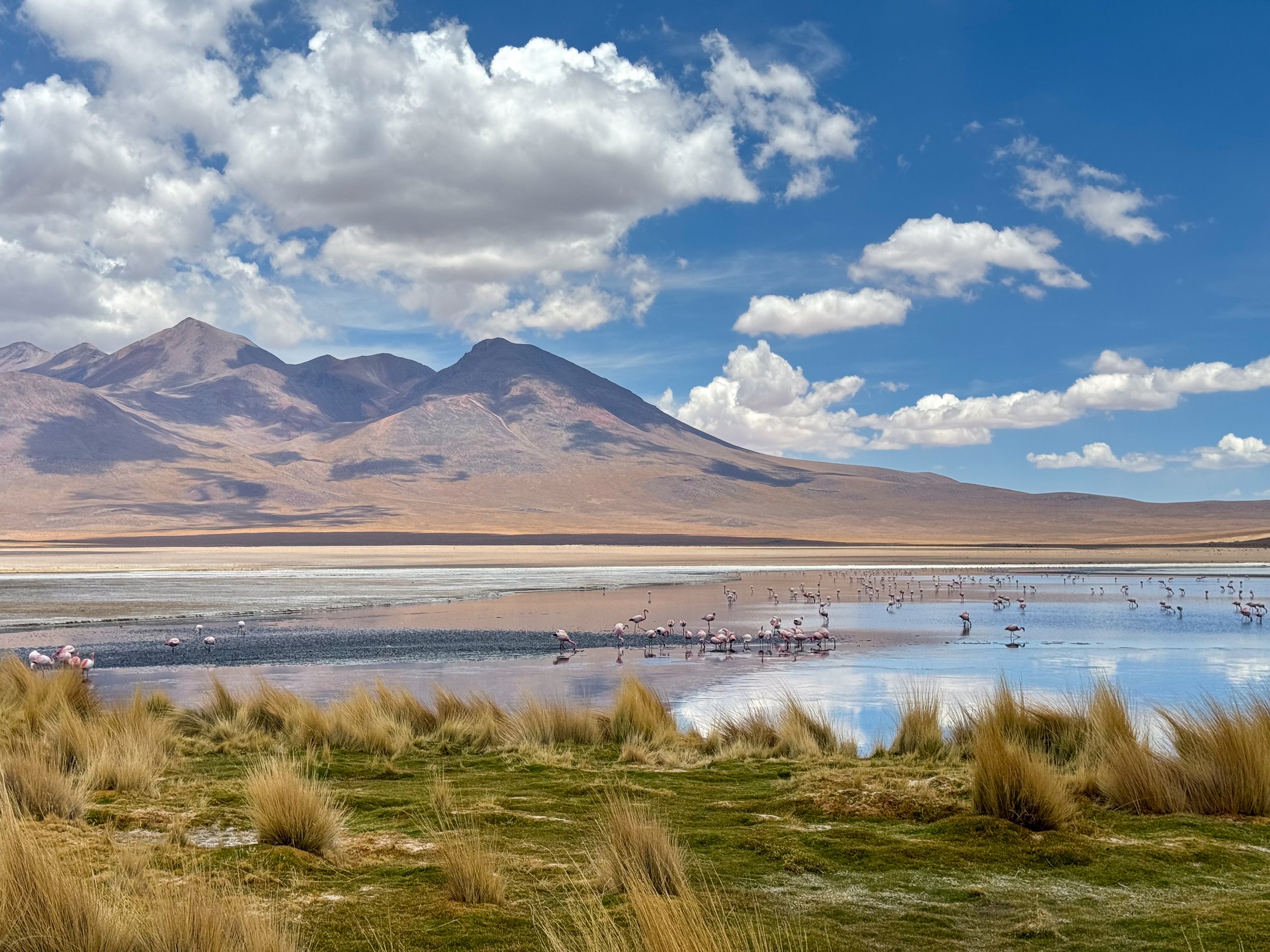
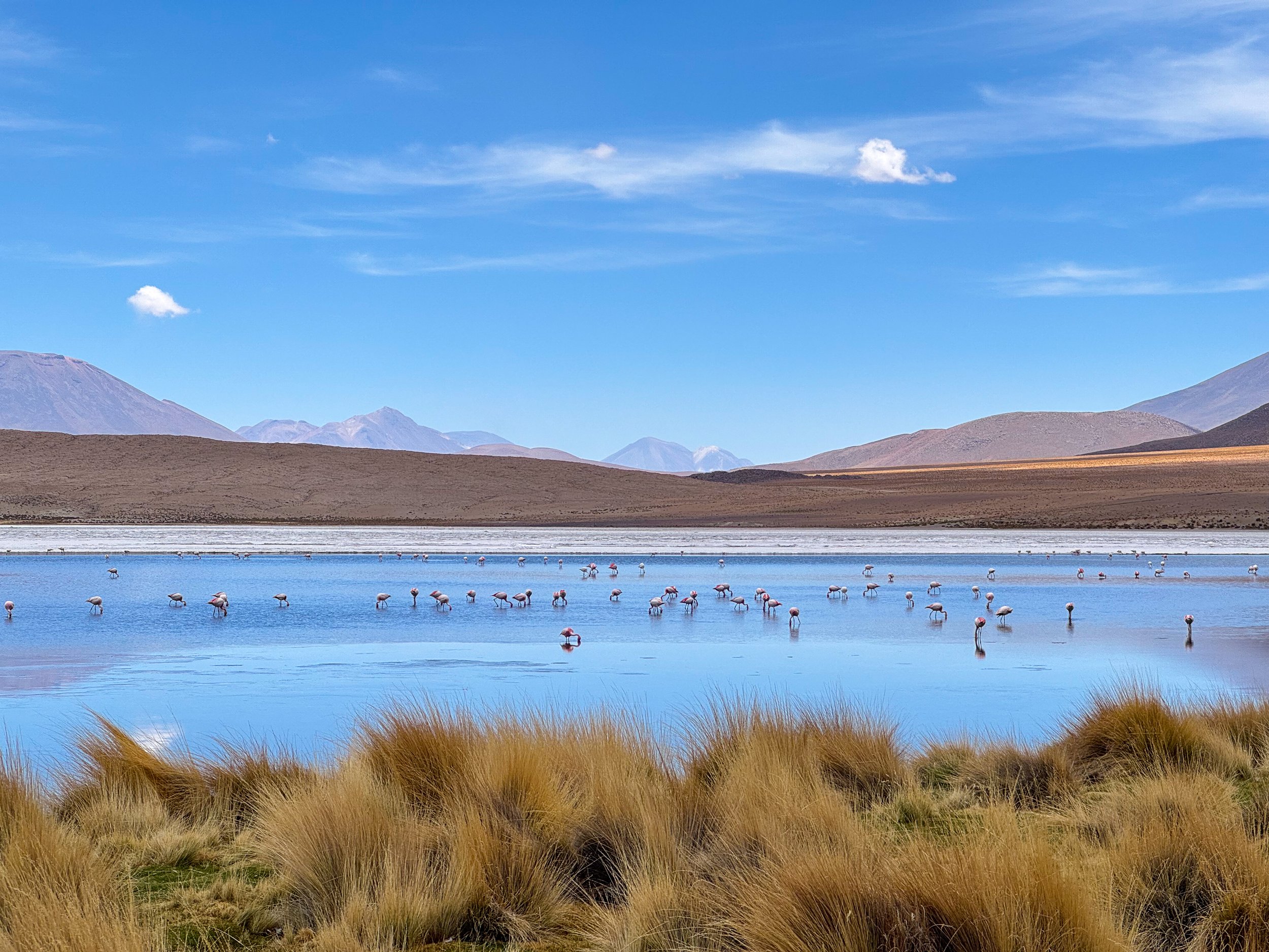
Laguna Cañapa. A salty lagoon surrounded by volcanos with a colony of pink and white flamingos feeding on microorganisms in the water. We watched through binoculars as some flamingos strutted up to the waters muddy edge showing off their pink necks and tail feathers.
Laguna Hedionda. A large salt lake with hues of blue, green and yellow in front of a towering volcano. The lagoon is a feeding ground for a large population of pink and white flamingos.
Laguna Chiar Khota. A lagoon in a valley with pale blue water, salty shores and patches of yellow sulphur with flocks of feeding flamingos.
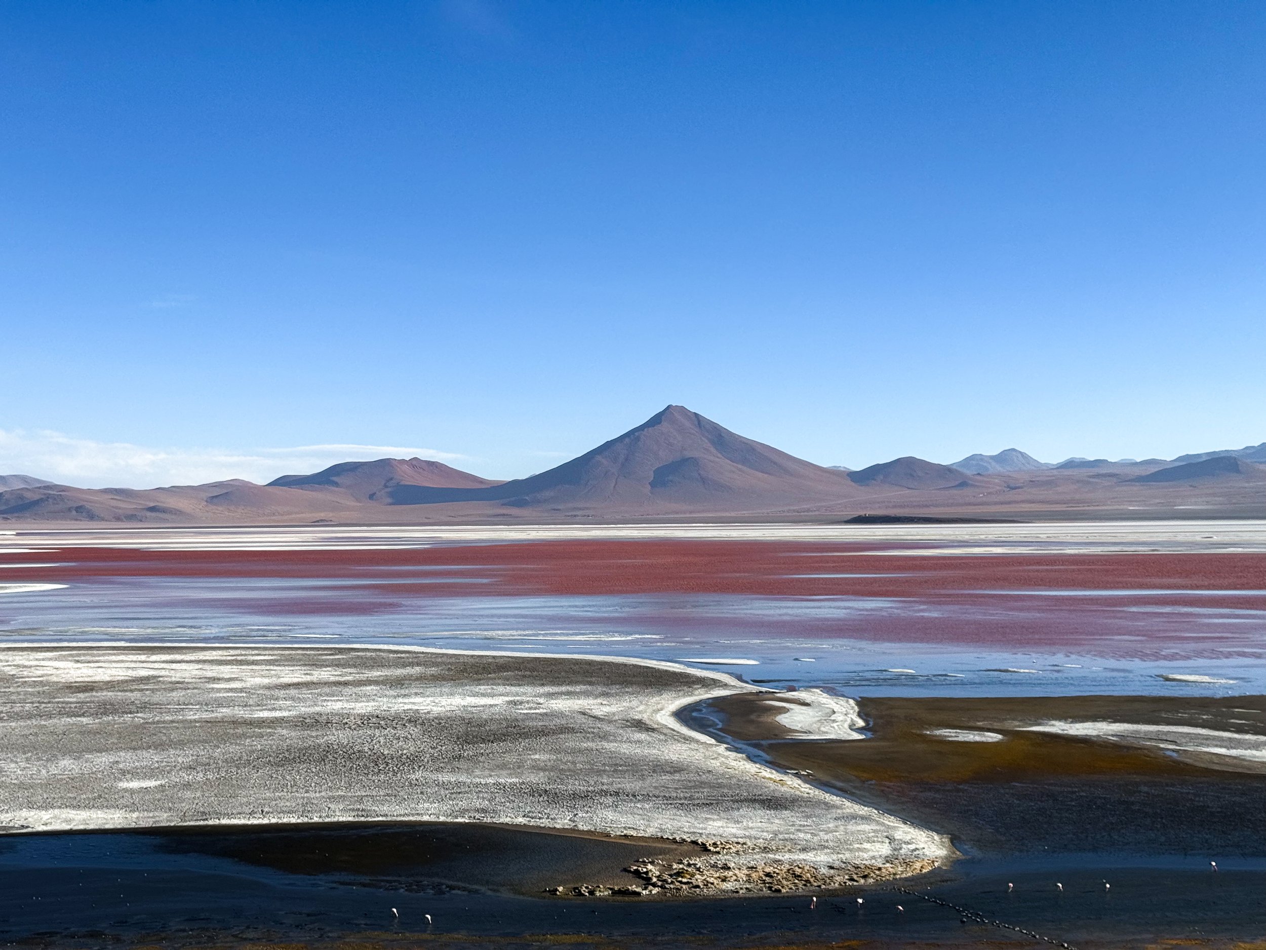
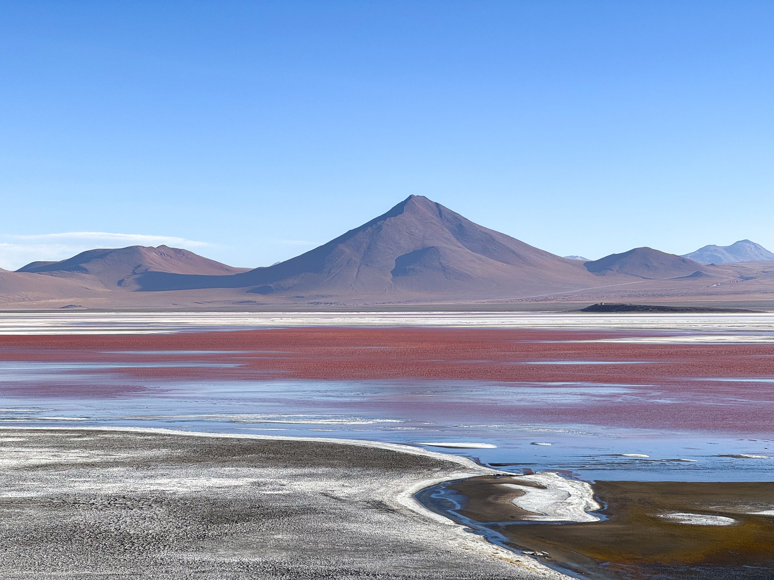
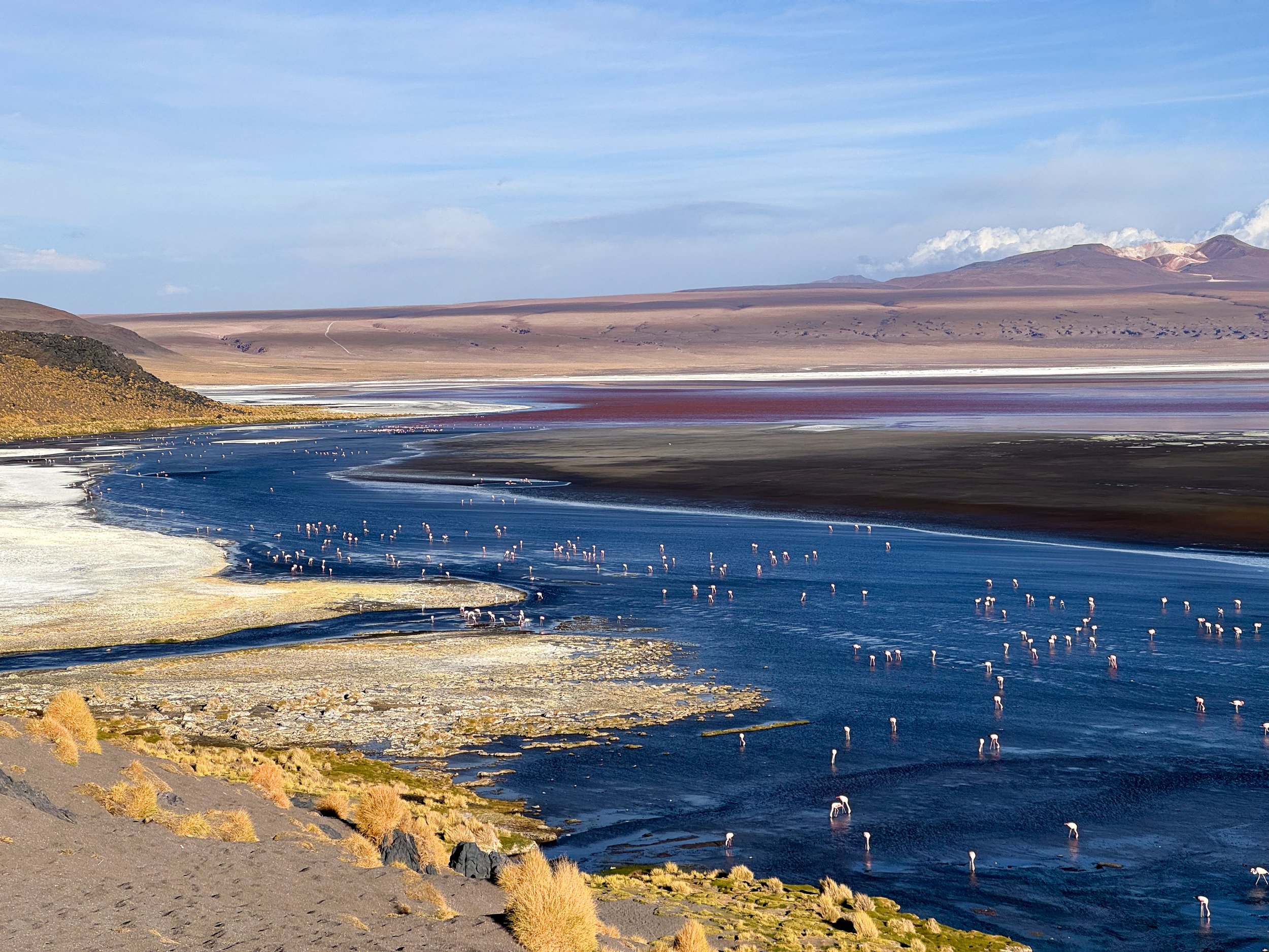
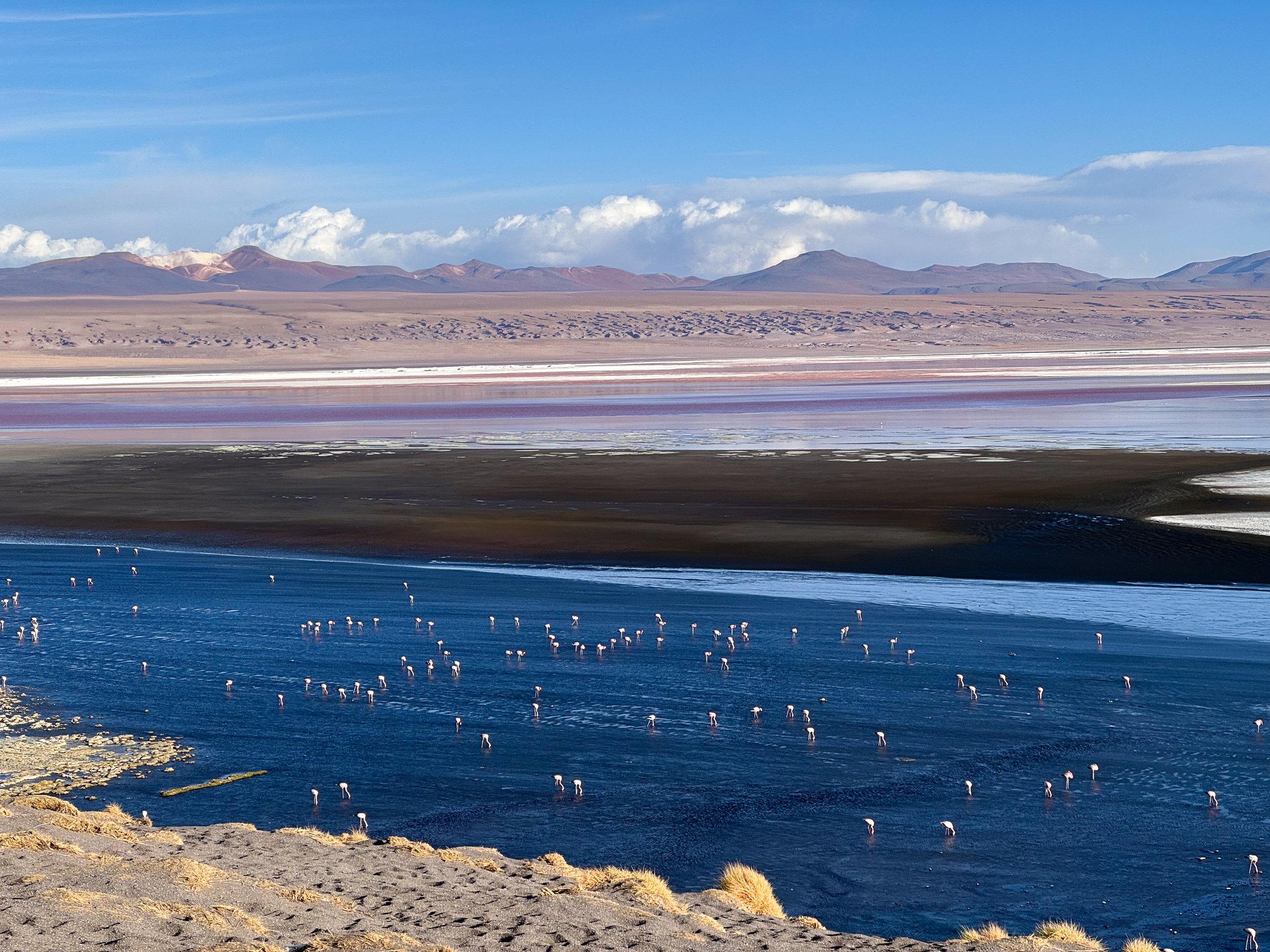
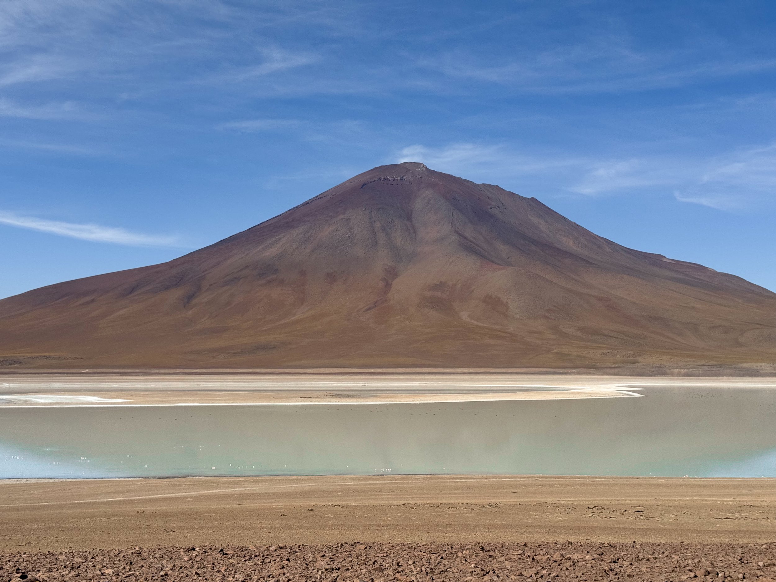
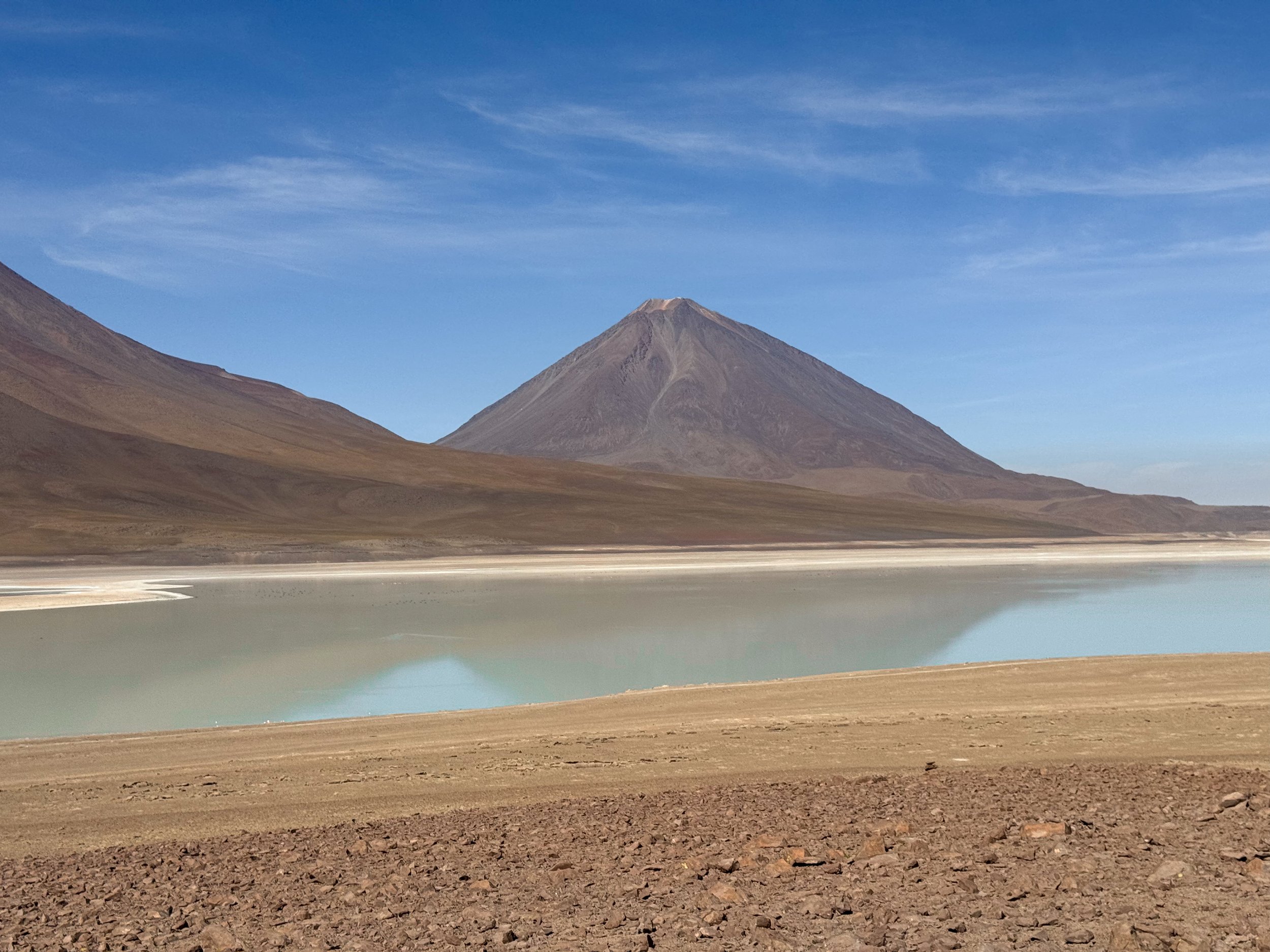
Laguna Colorada. A vast and shallow salt lake with red tinted water, a large population of flamingos and four volcanos flanking each side of the lagoon. Wild vicuñas roam the yellow grass tufted hills surrounding the lagoon.
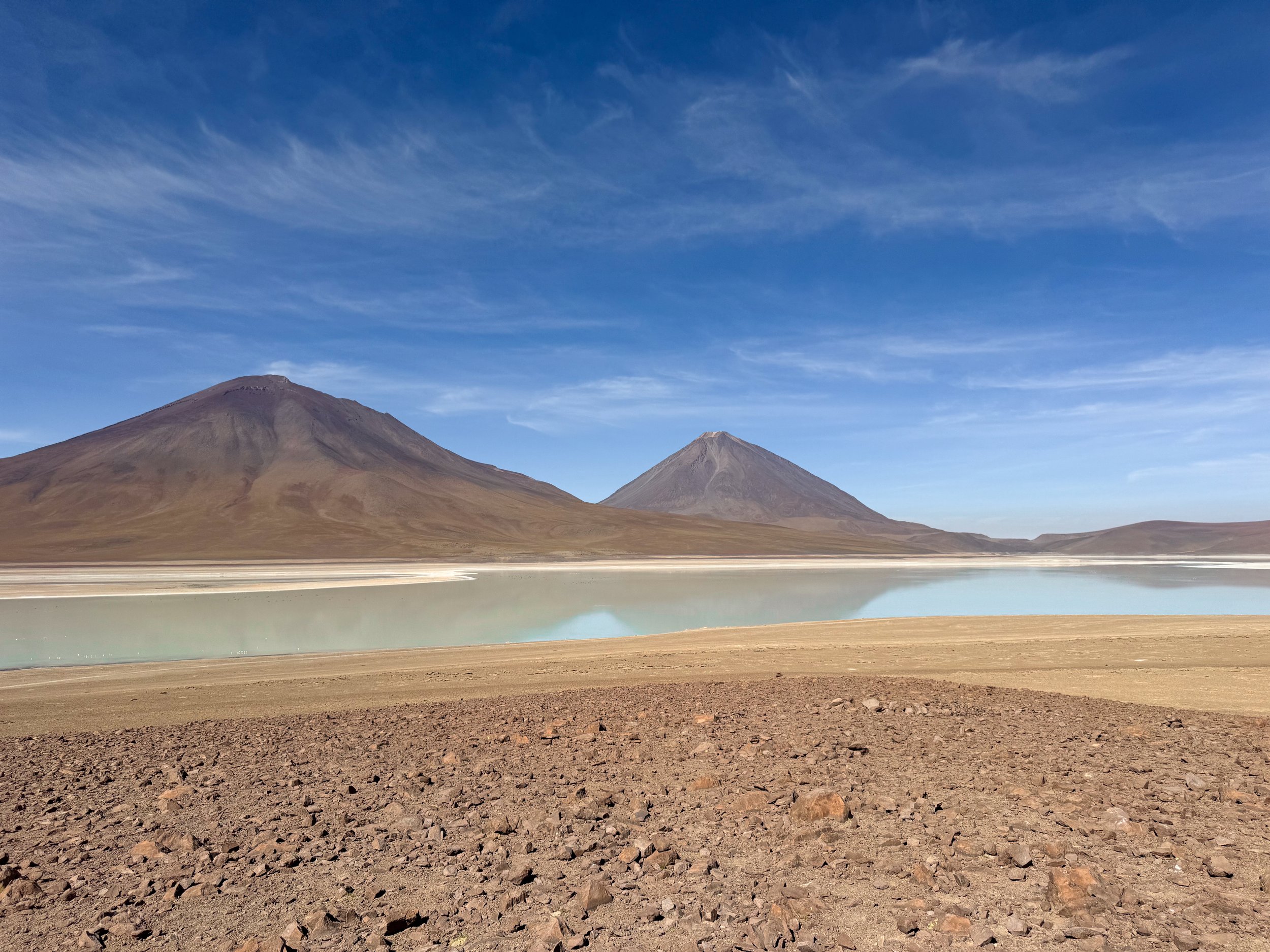
Laguna Verde. A greenish hued saltwater lagoon set against the backdrop of two cone shaped volcanoes. It’s home to feeding pink flamingos.
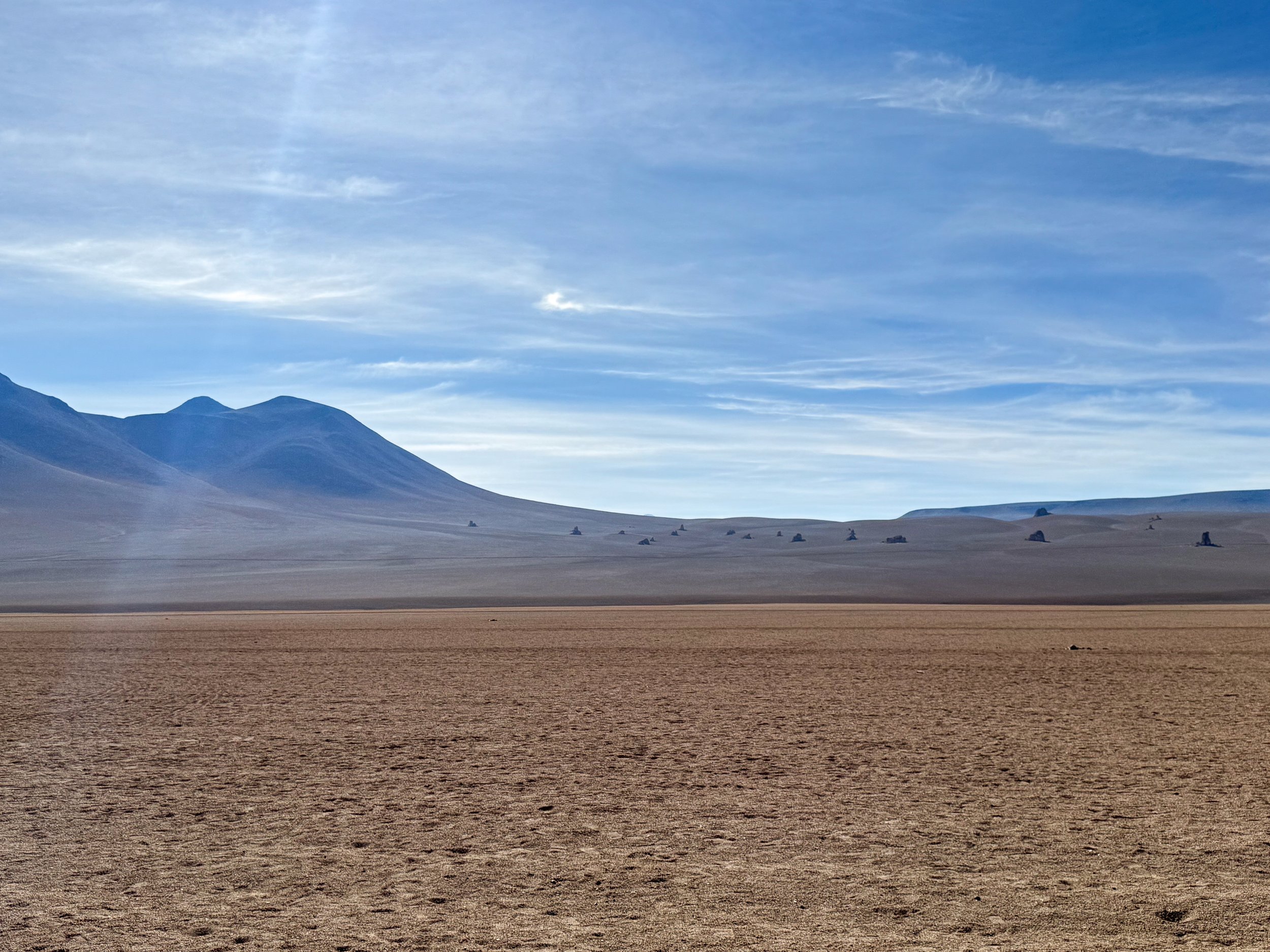
Rock Formations
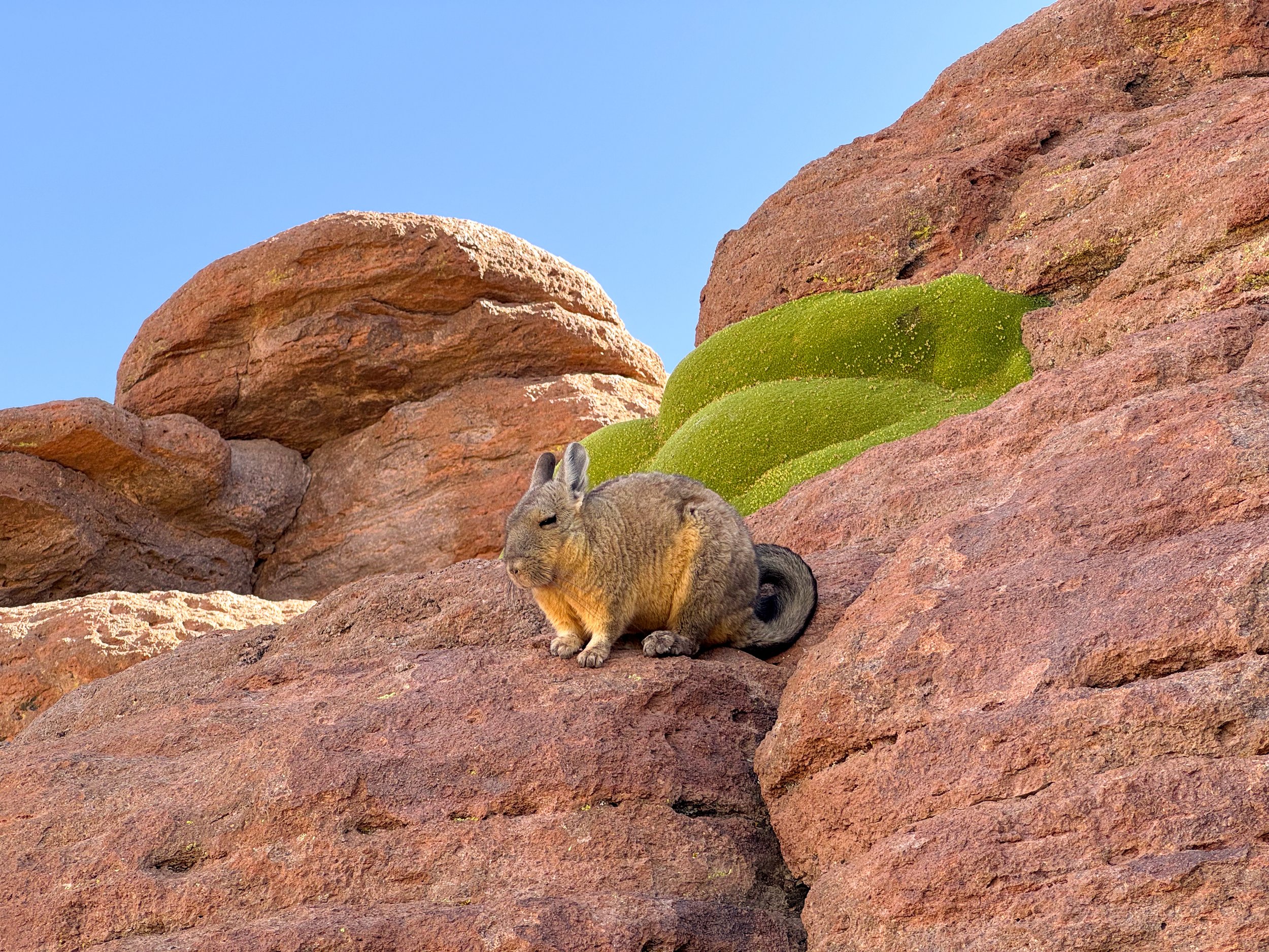
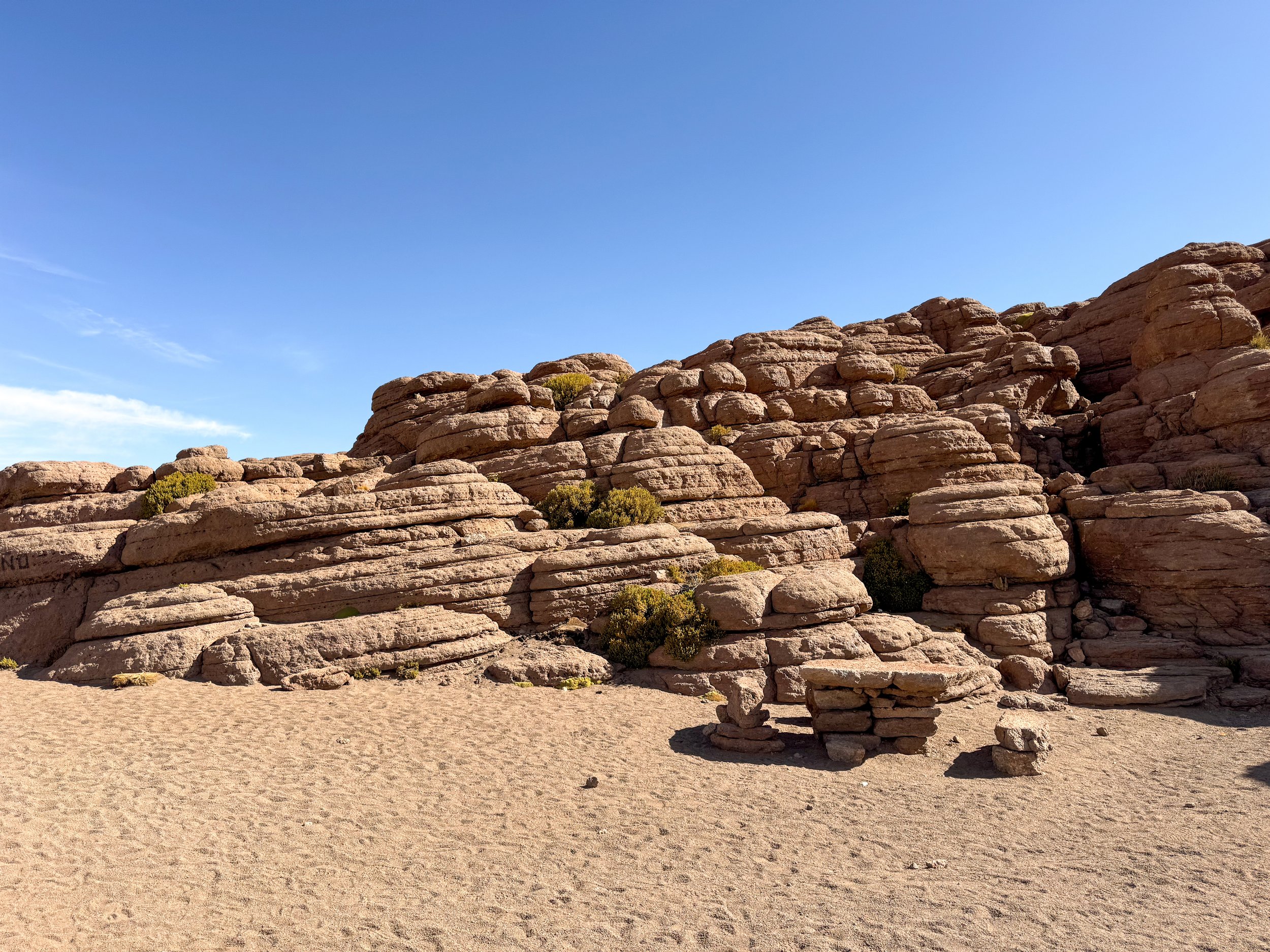
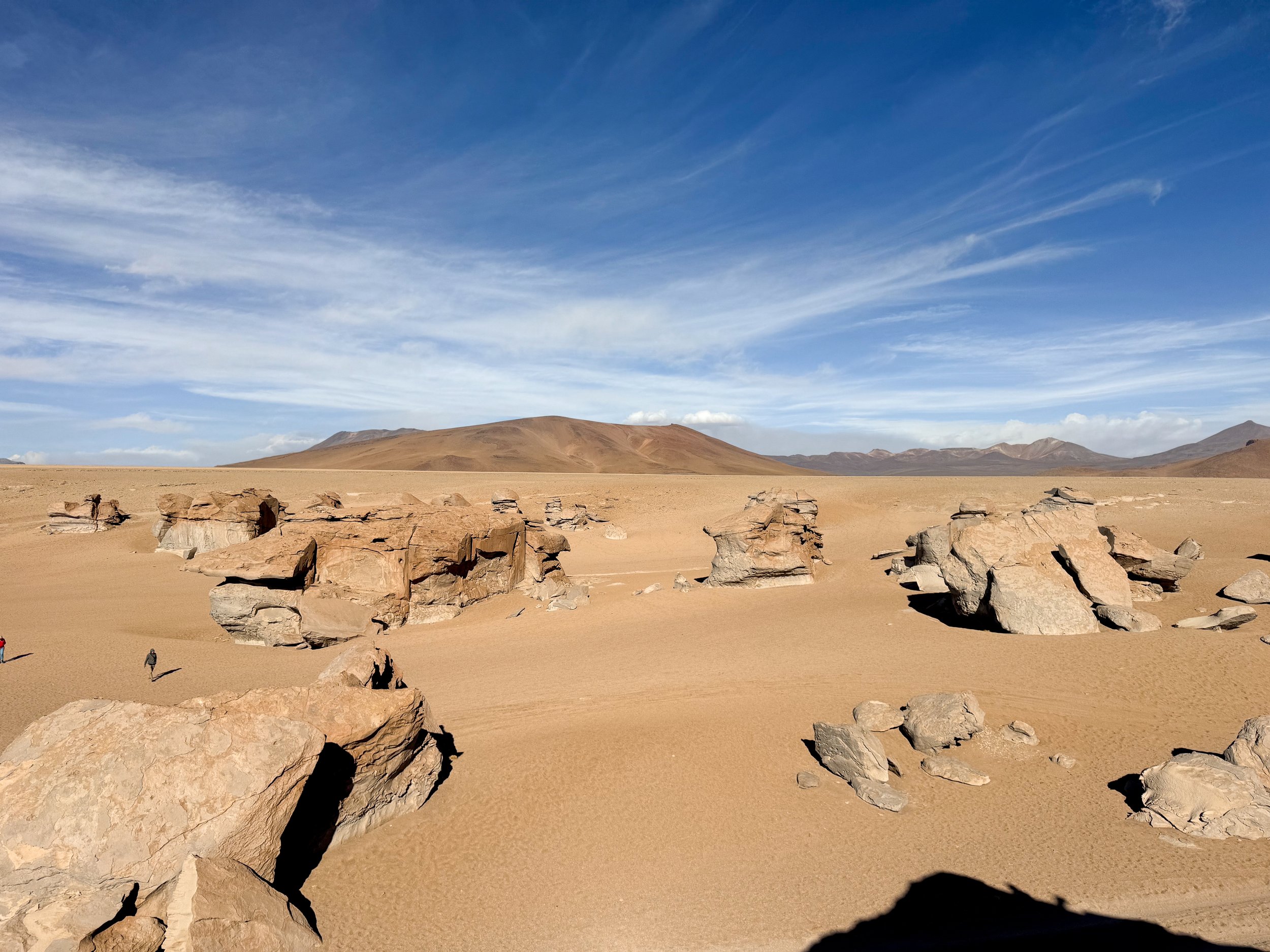
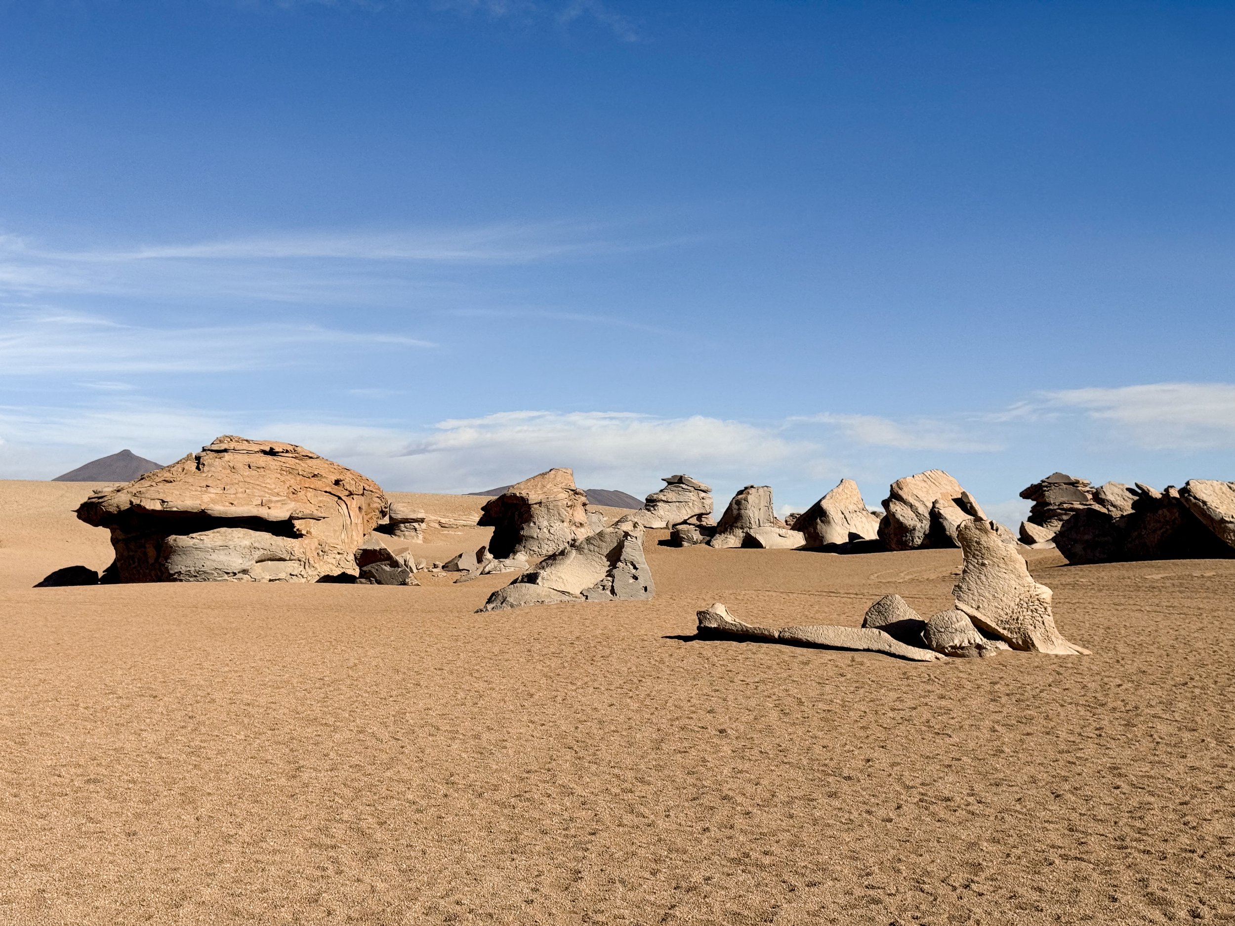
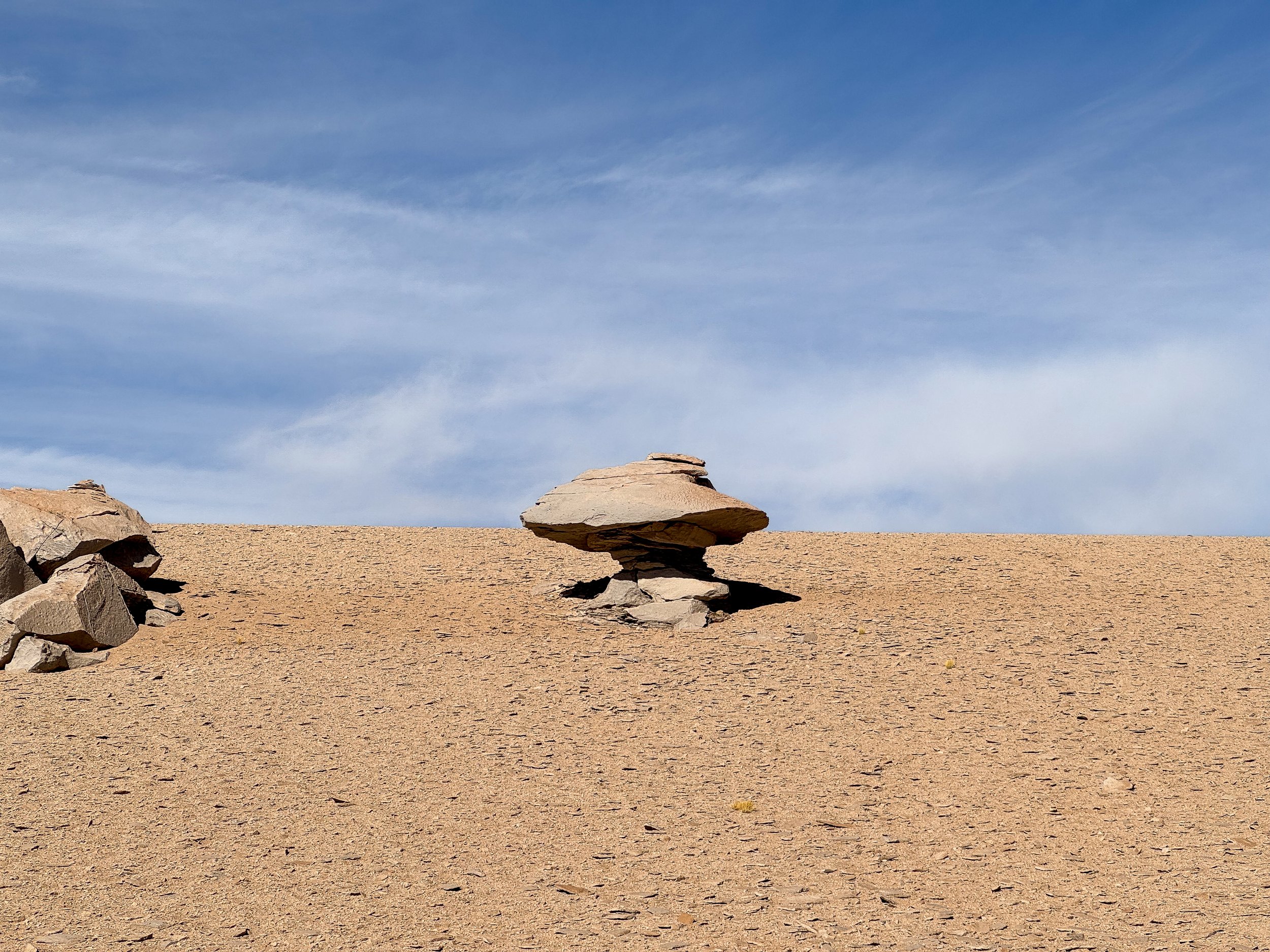
Roca de Viscachas. A volcanic formation of eroded sheets of rock home to Vizcacha, a chinchilla like rodent and tiny mice.
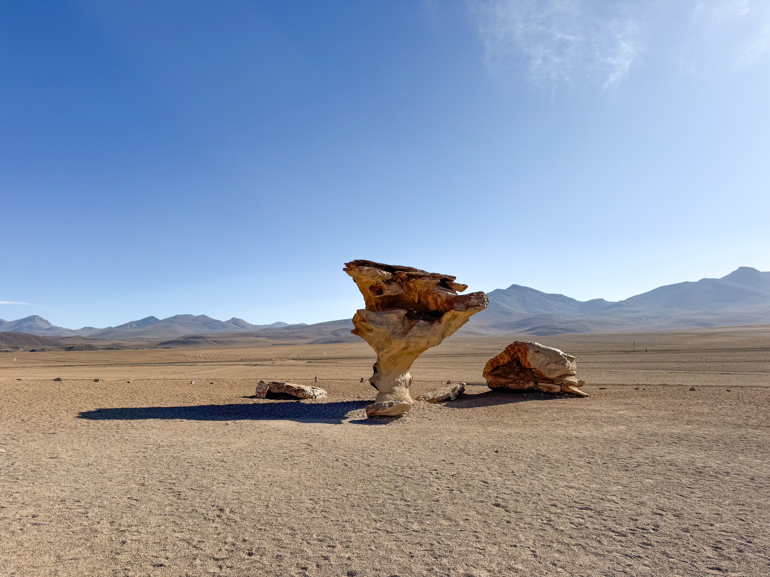
Valle de Rocas. A valley of rocks that have been eroded by wind speeds of 130km and freezing temperatures of -25C creating a unique formations of split and splintered rock. Two of the most iconic formations are the mushroom and Arbol de Piedra.
The Dali Desert. A desert with a surreal landscape that resembles one of Salvador Dali’s paintings. Large rocks rest upright along an ancient lava flow from a volcano that’s profile resembles the face of an elephant.
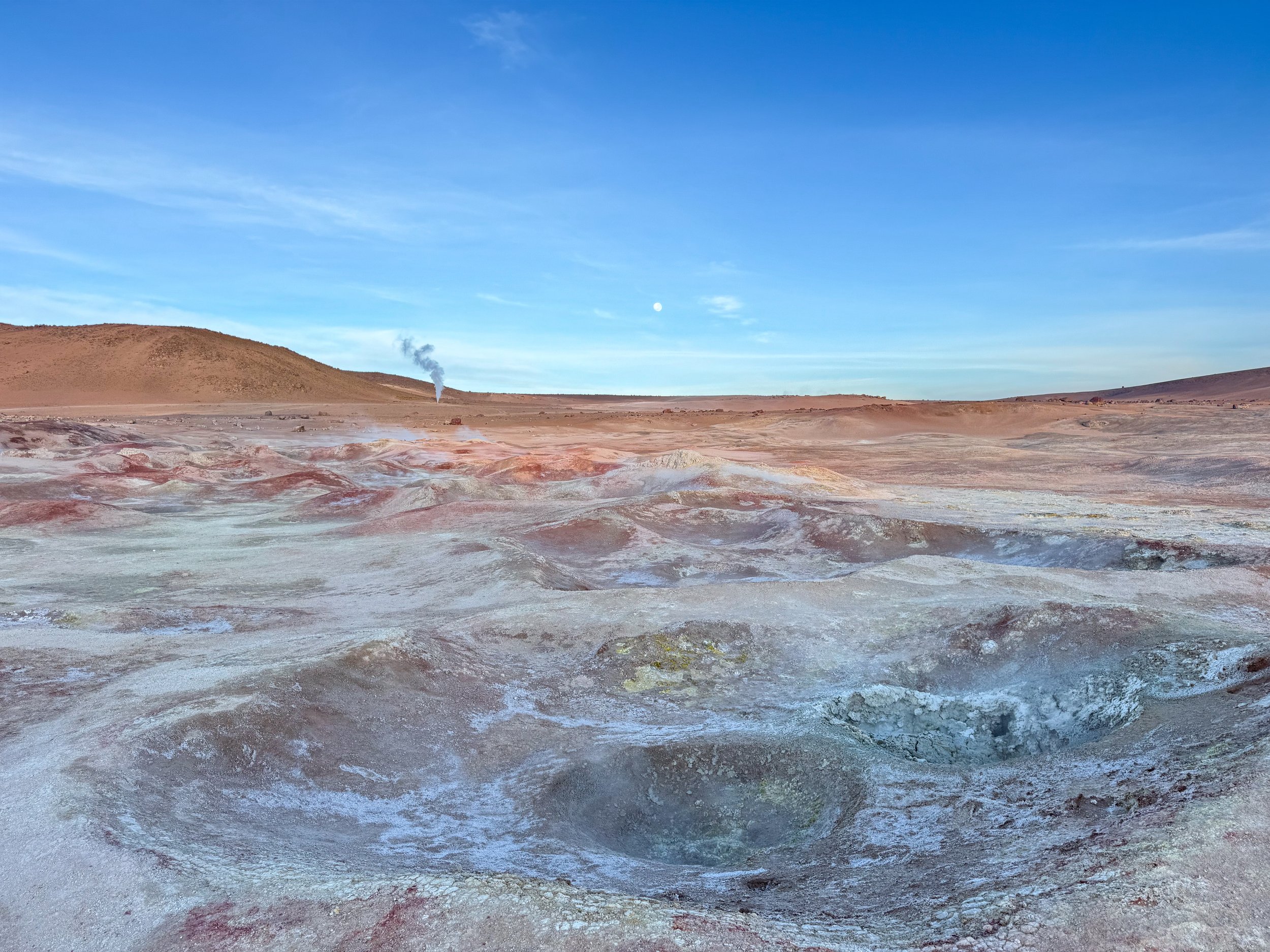
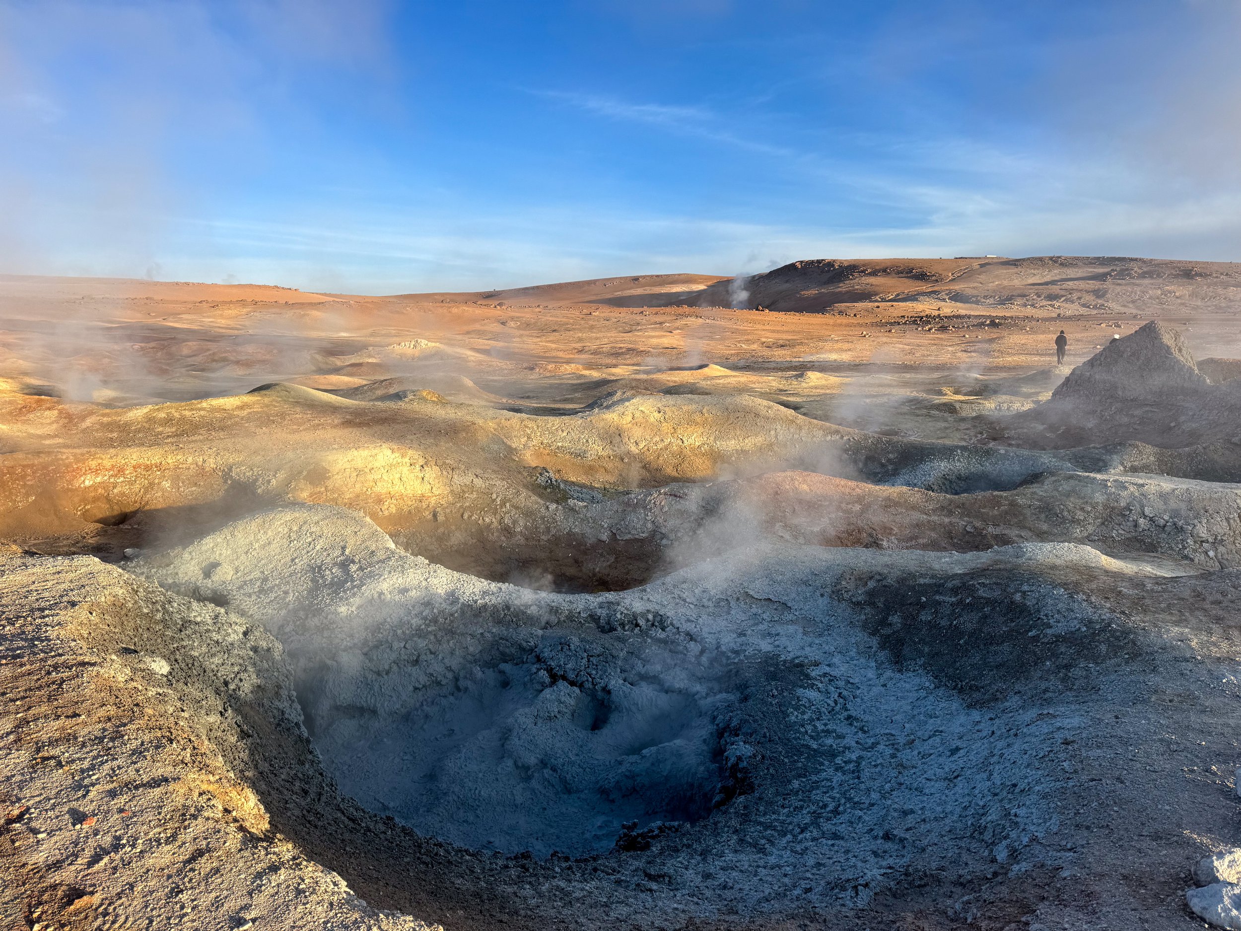
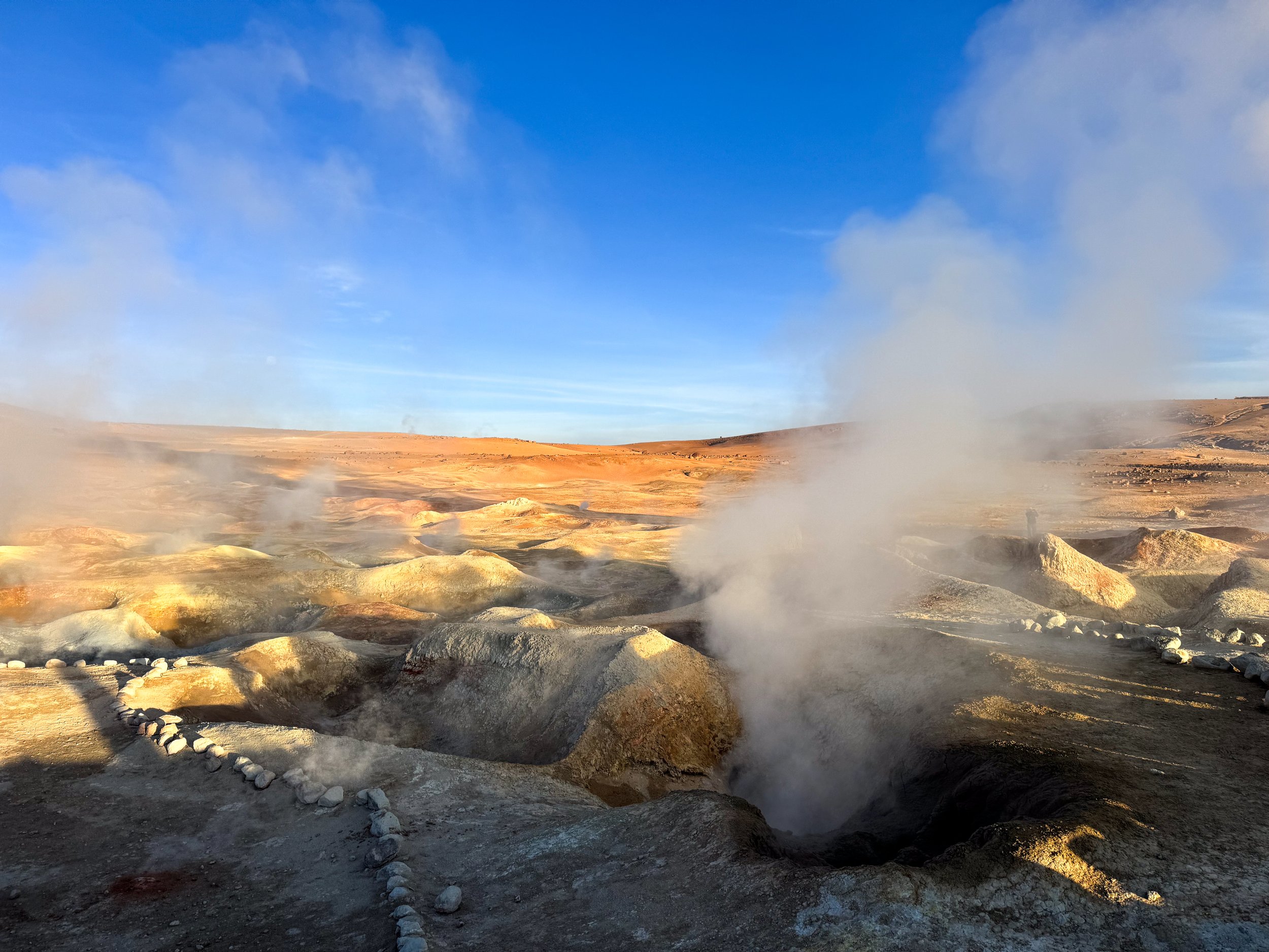
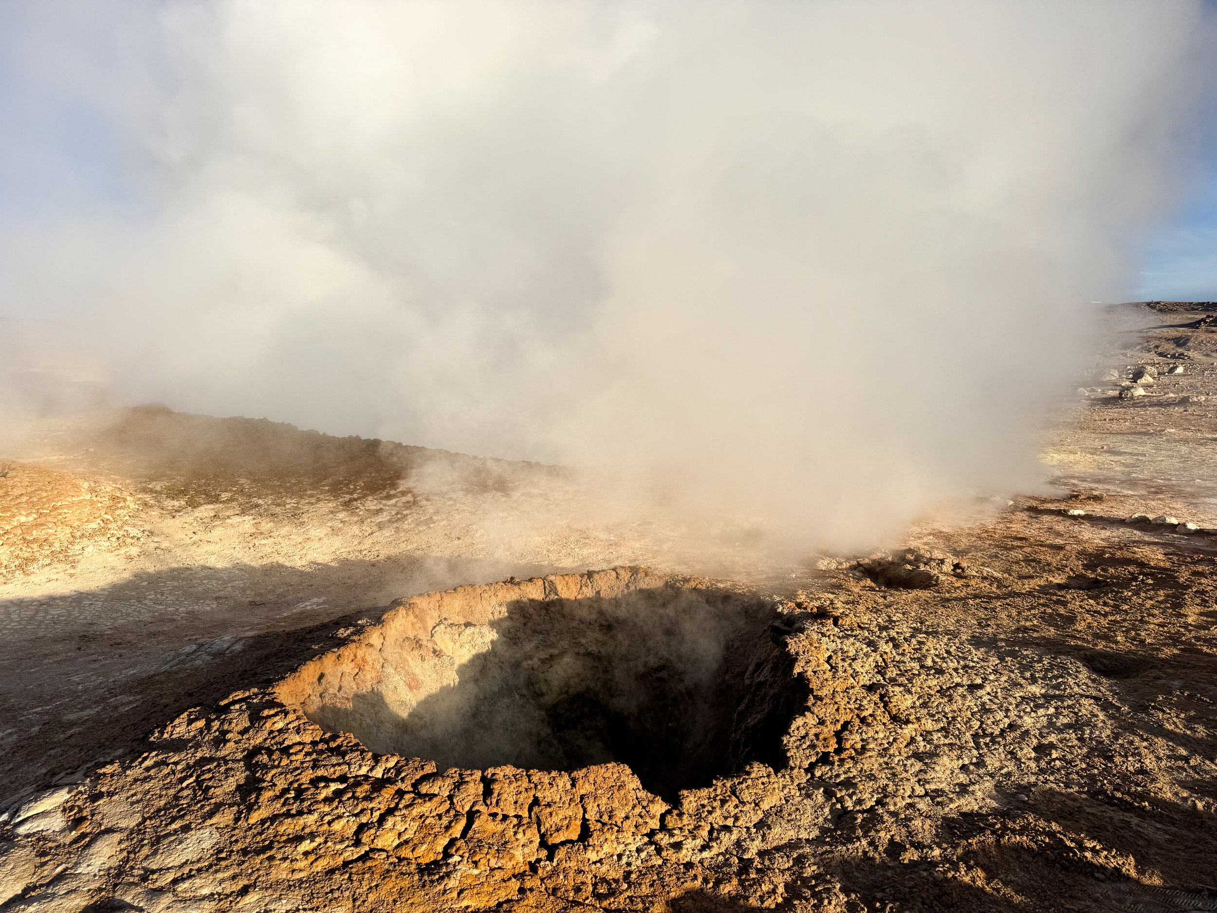
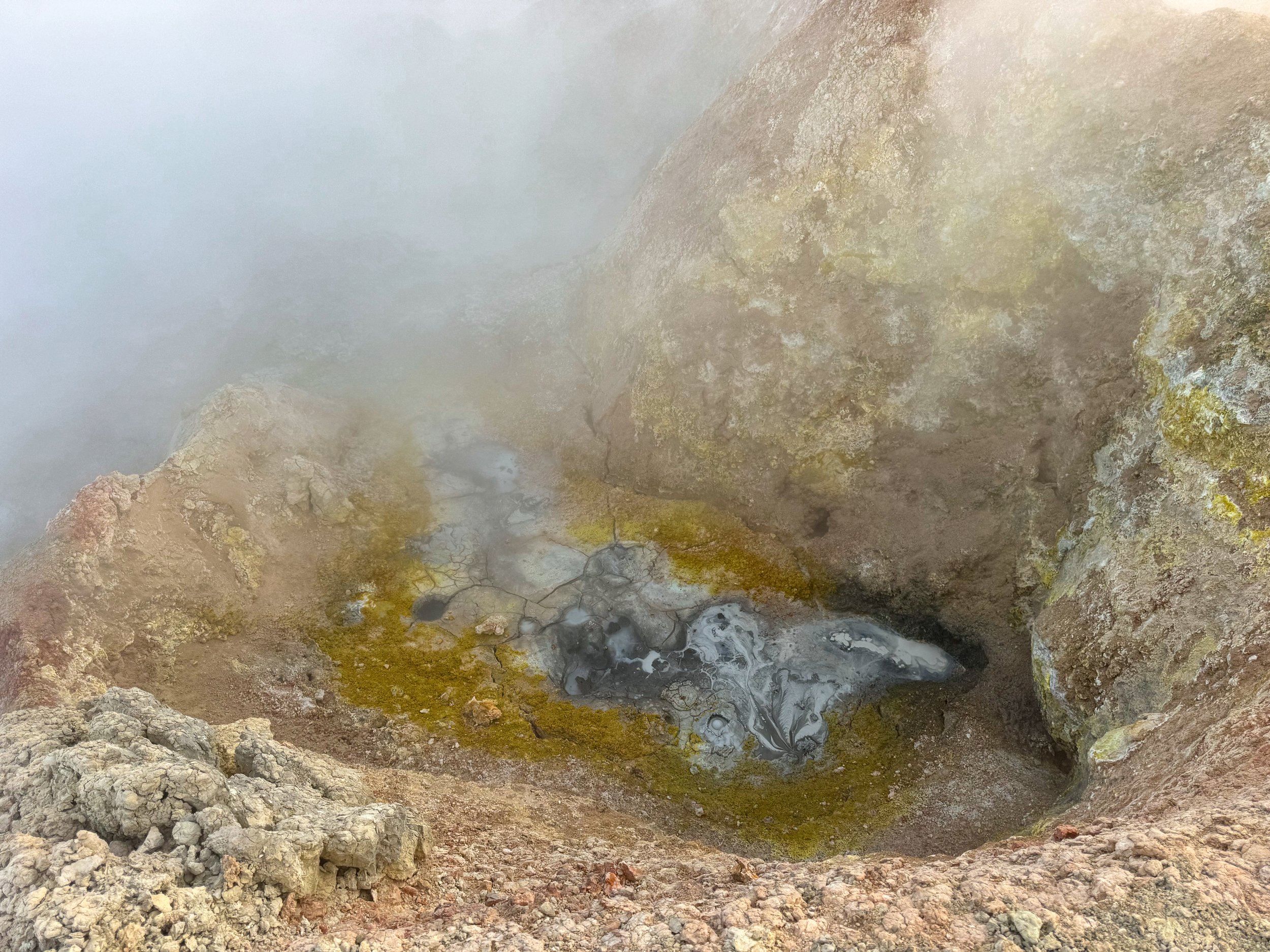
Geothermal Activity
Sol de Mañana Geysers. A series of steam vents, bubbling pools of mud and sulphuric deposits covering the barren desert landscape. We walked between the smelly and steaming vents, warming our hands in the below freezing temperatures at nearly 5,000 meters above sea level.
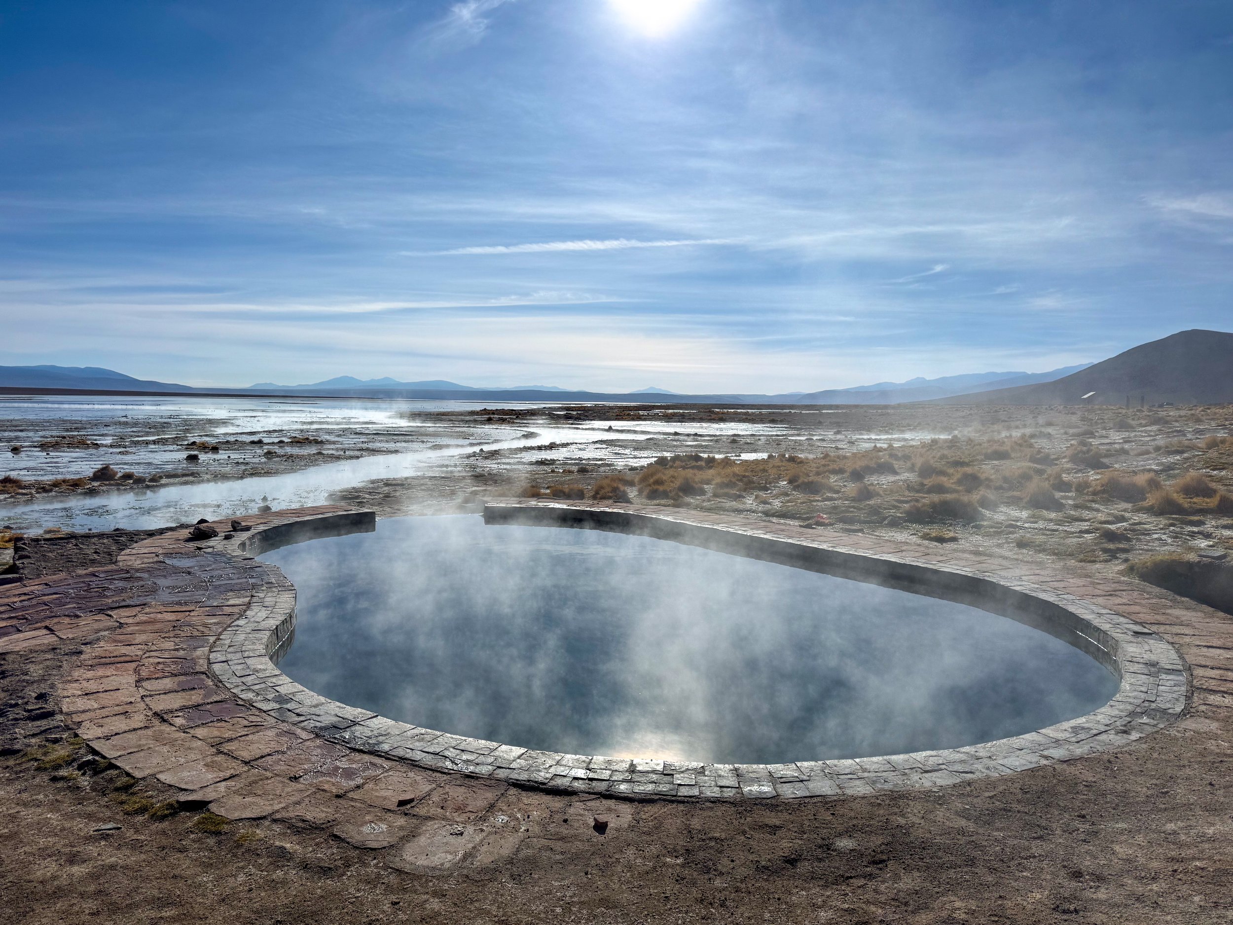
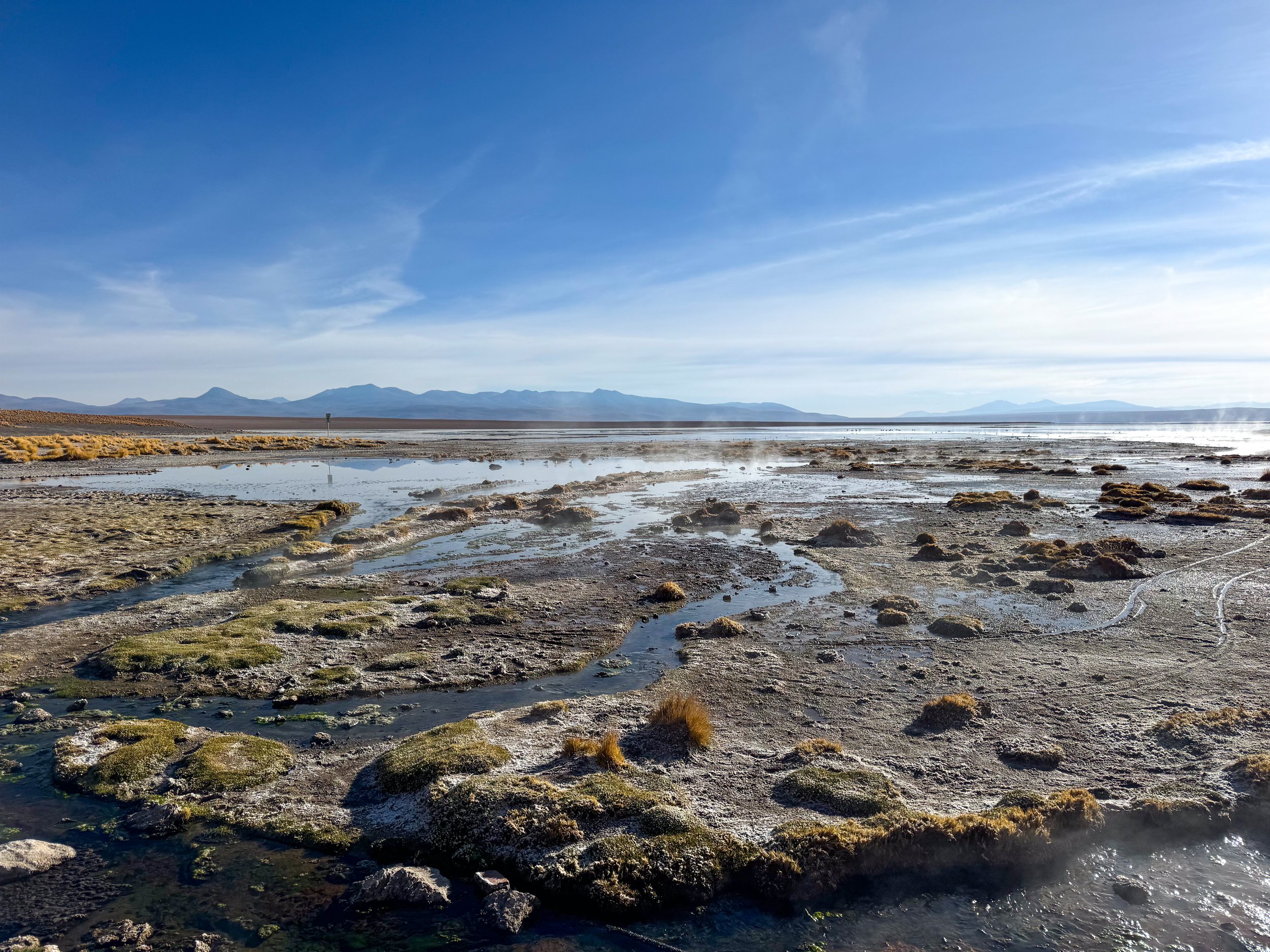
Aguas Termales de Polques. A natural hot spring with two steaming pools at the edge of a saltwater lagoon. We relaxed here for half an hour, at one point having the pool entirely to ourselves.
Where to Stay
Hotel Warara. A salt hotel on with walls, decor, tables and bed frames all made from salt blocks, plaster and crystals. We stayed here one night during our tour of the Uyuni Salt Flats and Bolivian Desert.
Hostel San Marcelo. A hostel in a small village on the other side of the Laguna Colorada. The rooms are basic but have twin beds, layers of warm blankets for the cold nights and shared restrooms. The hostel lacks electricity & wifi.
Perla de Bolivia
We visited the Uyuni Salt Flats and sights across the Bolivian Desert with Perla de Bolivia. On the four day tour from La Paz, Bolivia to San Pedro de Atacama, Chile. The tour included transportation, accommodations, guides, meals, snacks, water, including vegetarian options. Book here!
The Atacama Desert
The Atacama Desert is driest place on the planet with an aired landscape comprised of countless volcanos, erupting geysers, rocky valleys, jagged mountains, gargantuan sand dunes, vast salt flats, vibrant lagoons, spiraling dust devils and small desert towns.
Atacama, Chile
The Atacama Desert is driest place on the planet with an aired landscape comprised of countless volcanos, erupting geysers, rocky valleys, jagged mountains, gargantuan sand dunes, vast salt flats, vibrant lagoons, spiraling dust devils and small desert towns. From the adobe town San Pedro de Atacama, we ventured into the remote landscapes of the Atacama Desert.
San Pedro de Atacama, Chile
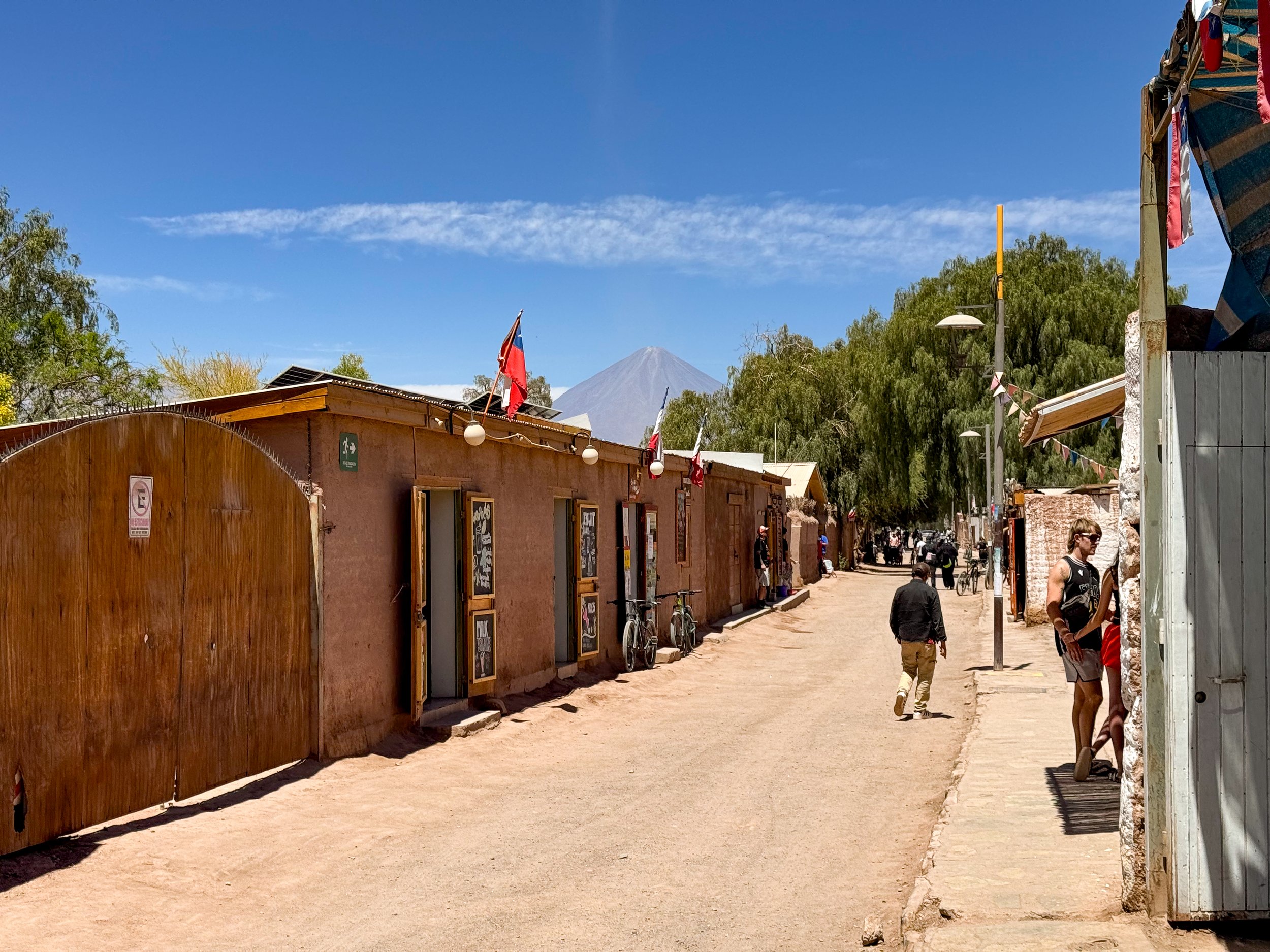
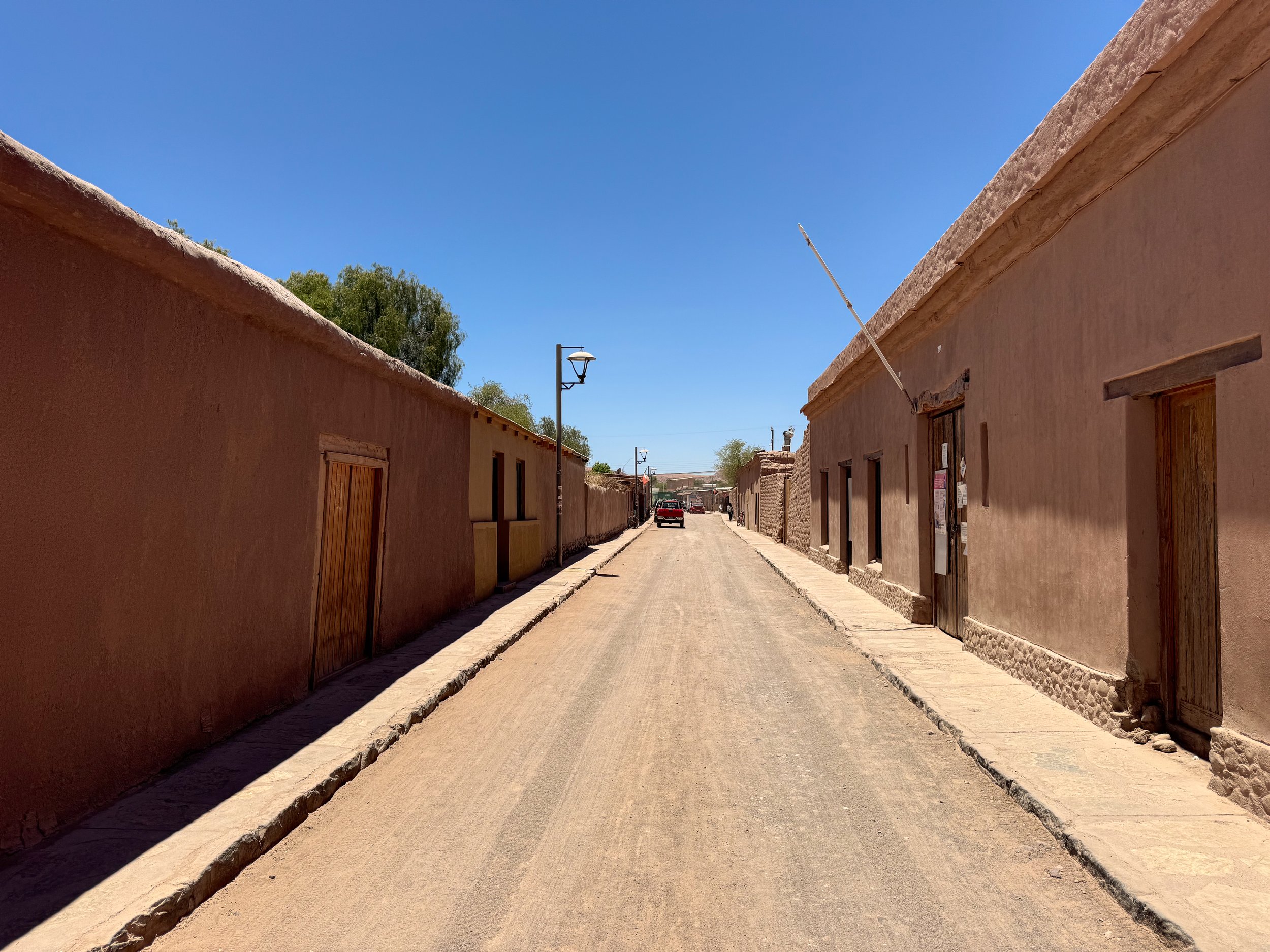
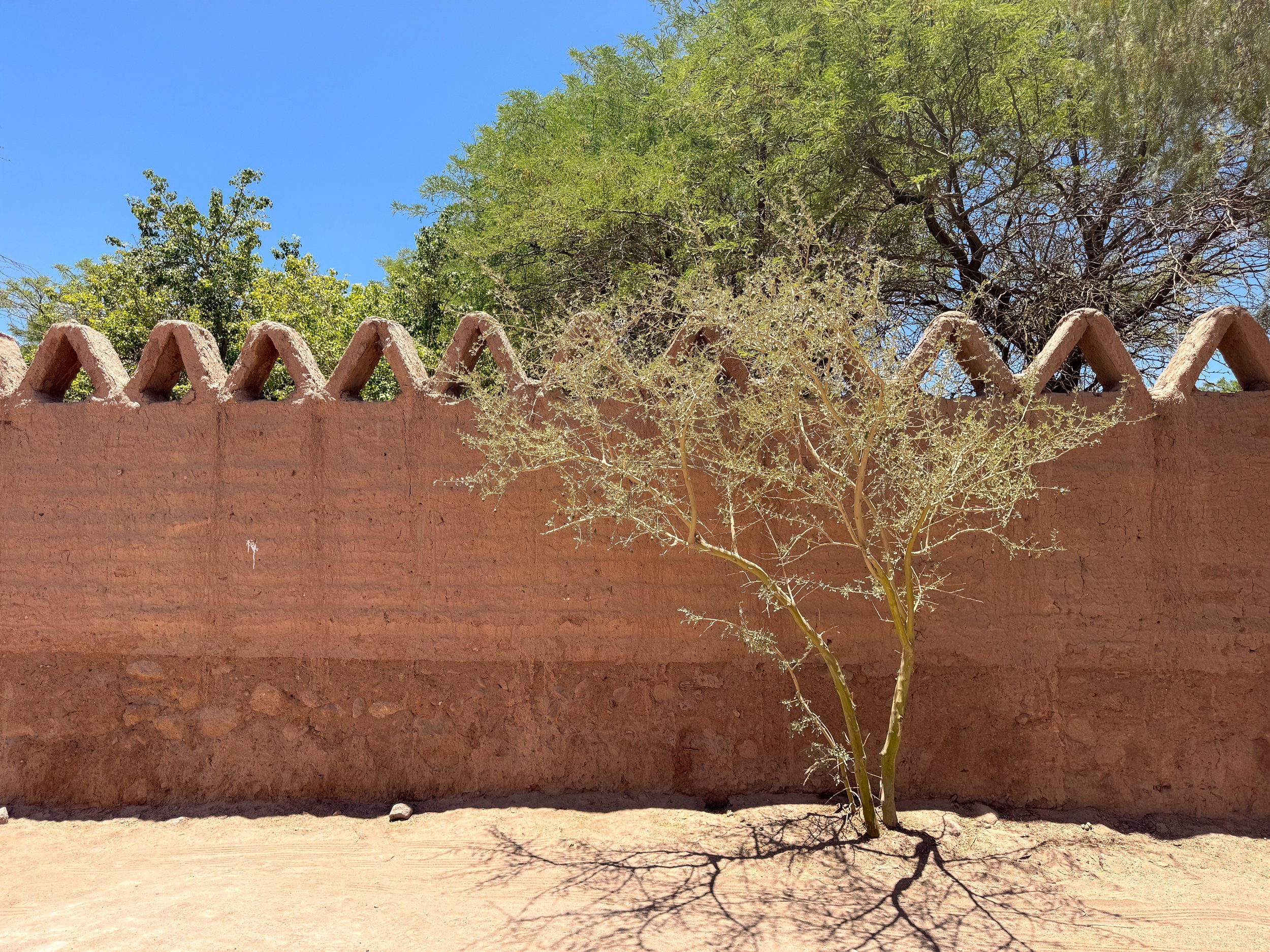
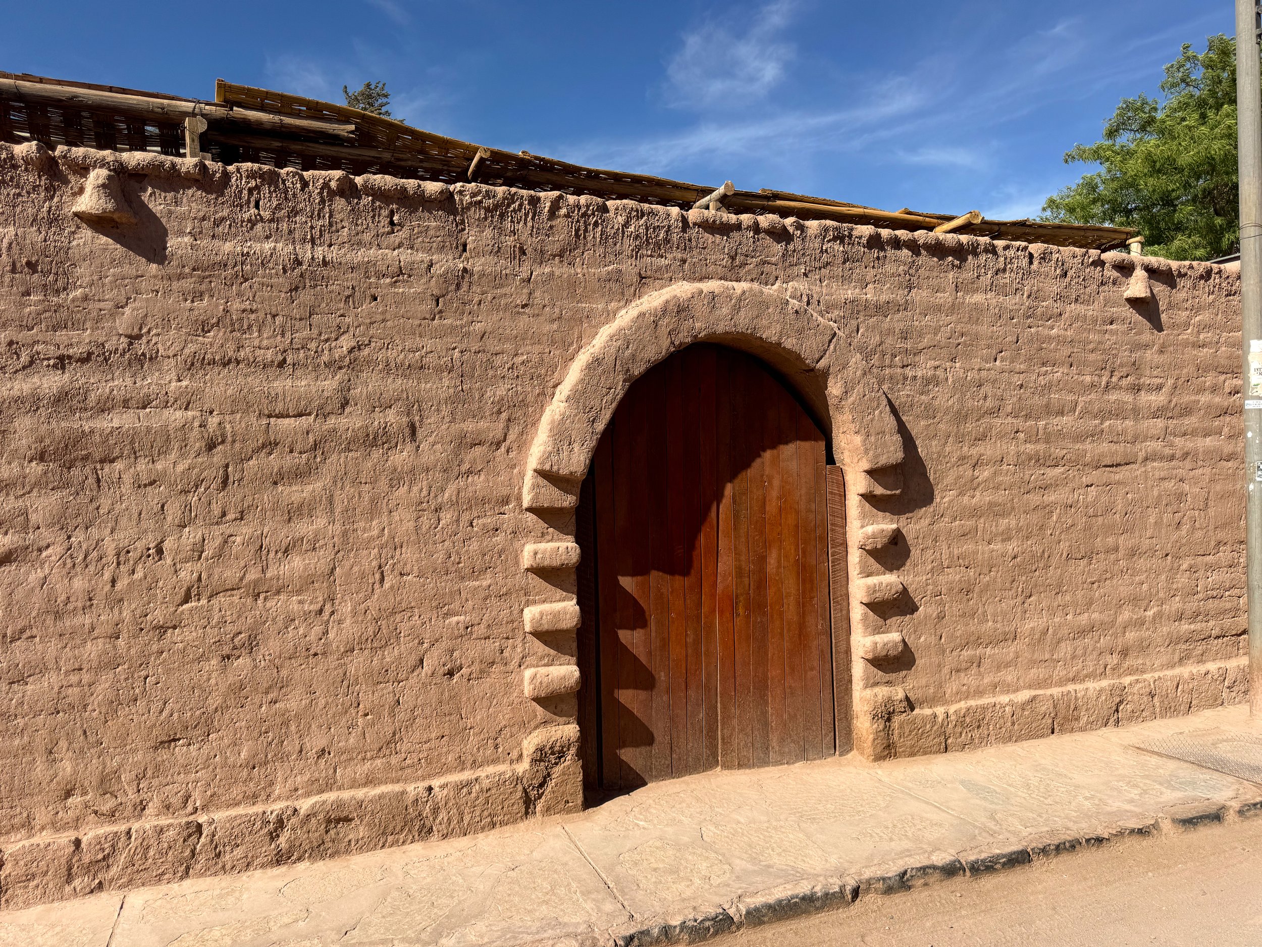
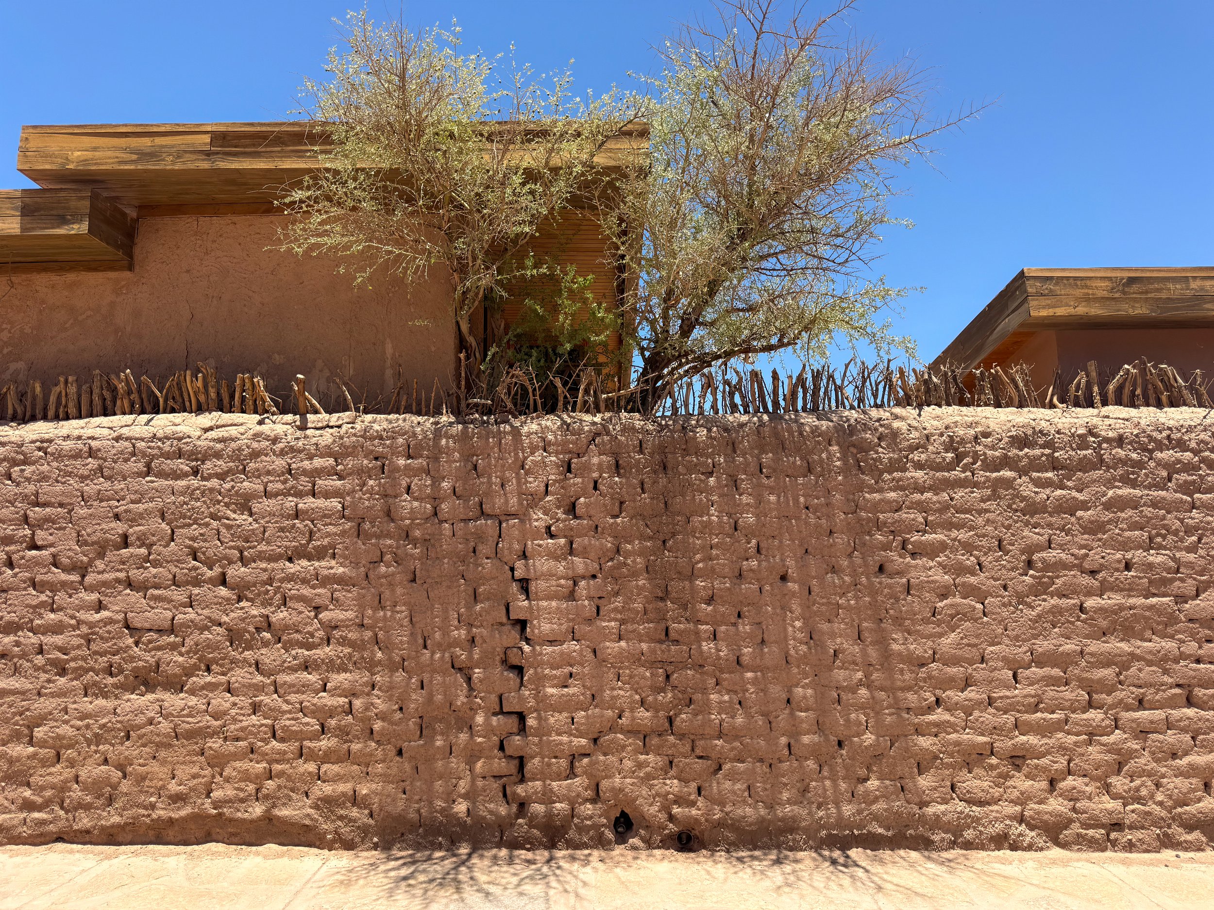
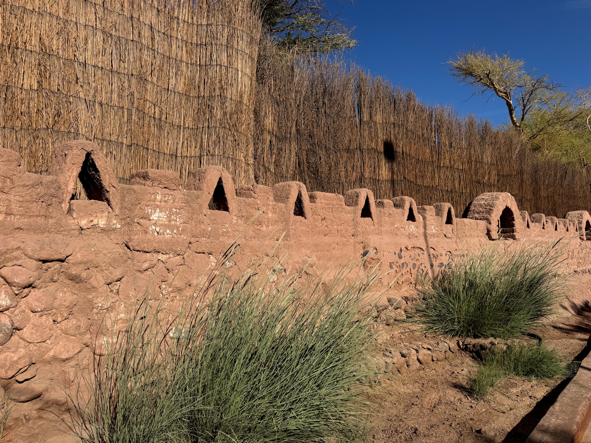
San Pedro de Atacama is a western style town with a bohemian, adventurous and positive touristy vibe. The city is an Oasis in the Chilean Atacama Desert with adobe houses, desert lodges, narrow dirt roads and access to some of the region’s natural sights.
Calle Caracol. A dusty dirt road that passes through the center of San Pedro de Atacama with Chilean restaurants, live music, cocktail bars, ice cream shops, outdoorsy stores and tour operators.
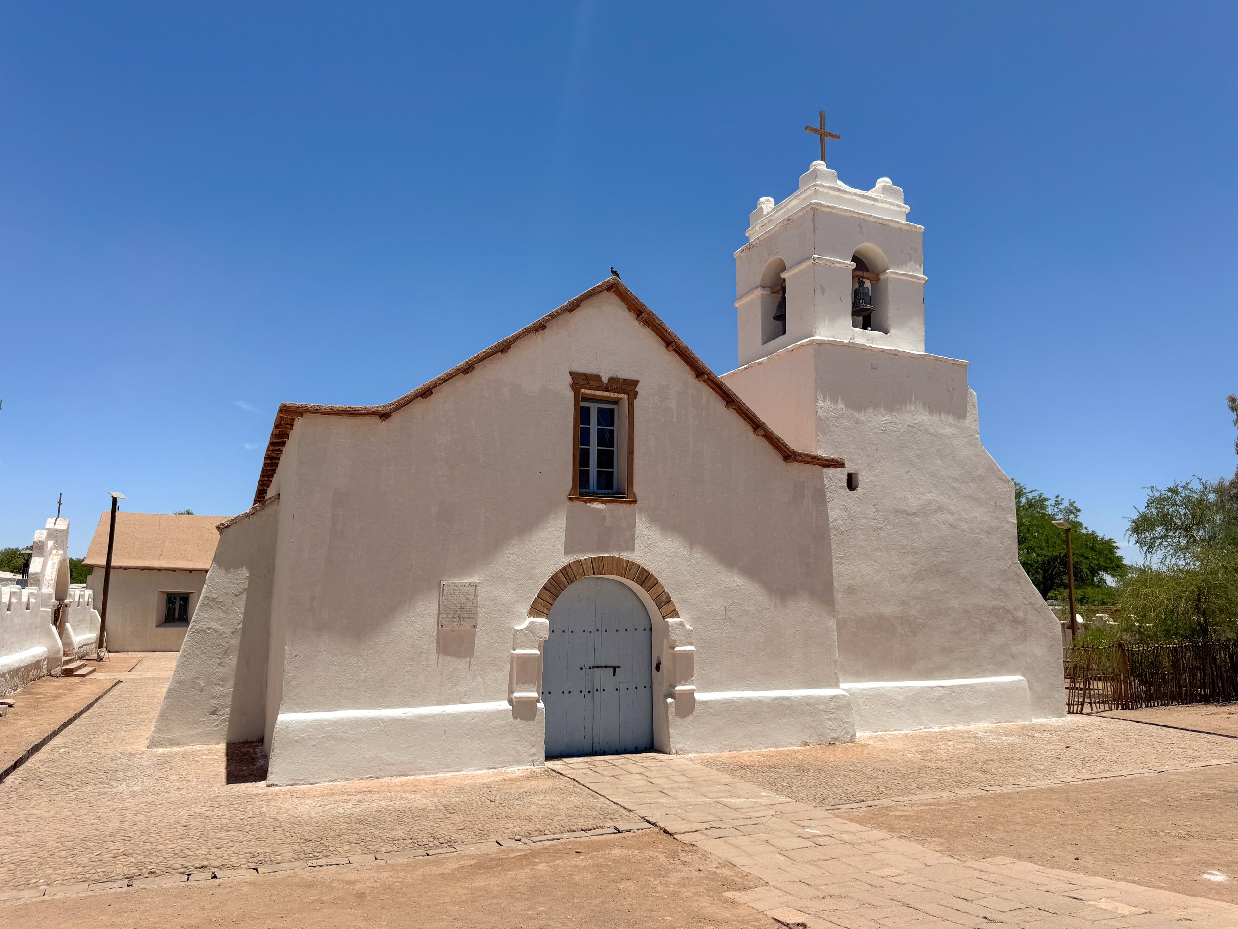
Plaza de San Pedro de Atacama. A tree covered plaza with cacti gardens surrounded by beautiful adobe buildings including a historic church.
Trópico de Capricornio. Located about an hour south of San Pedro de Atacama along Chile Highway 23, a road sign marks the location of the Southern Hemisphere’s tropical latitude, the Tropic of Capricorn.
Salt Flats
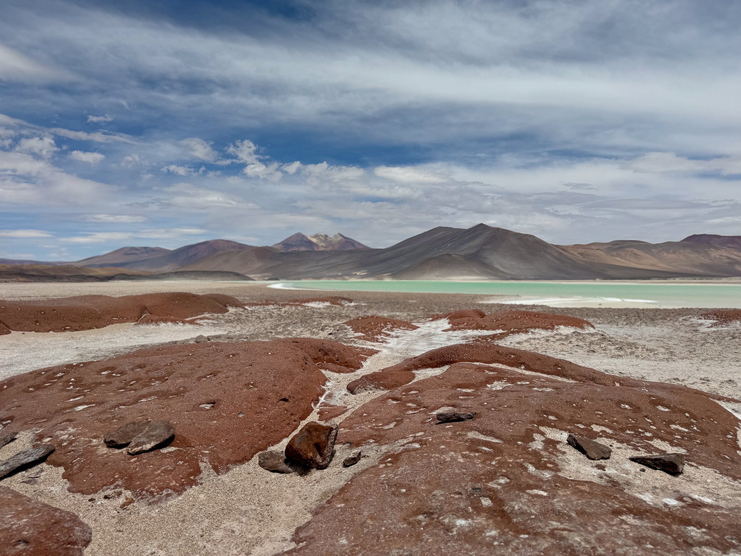
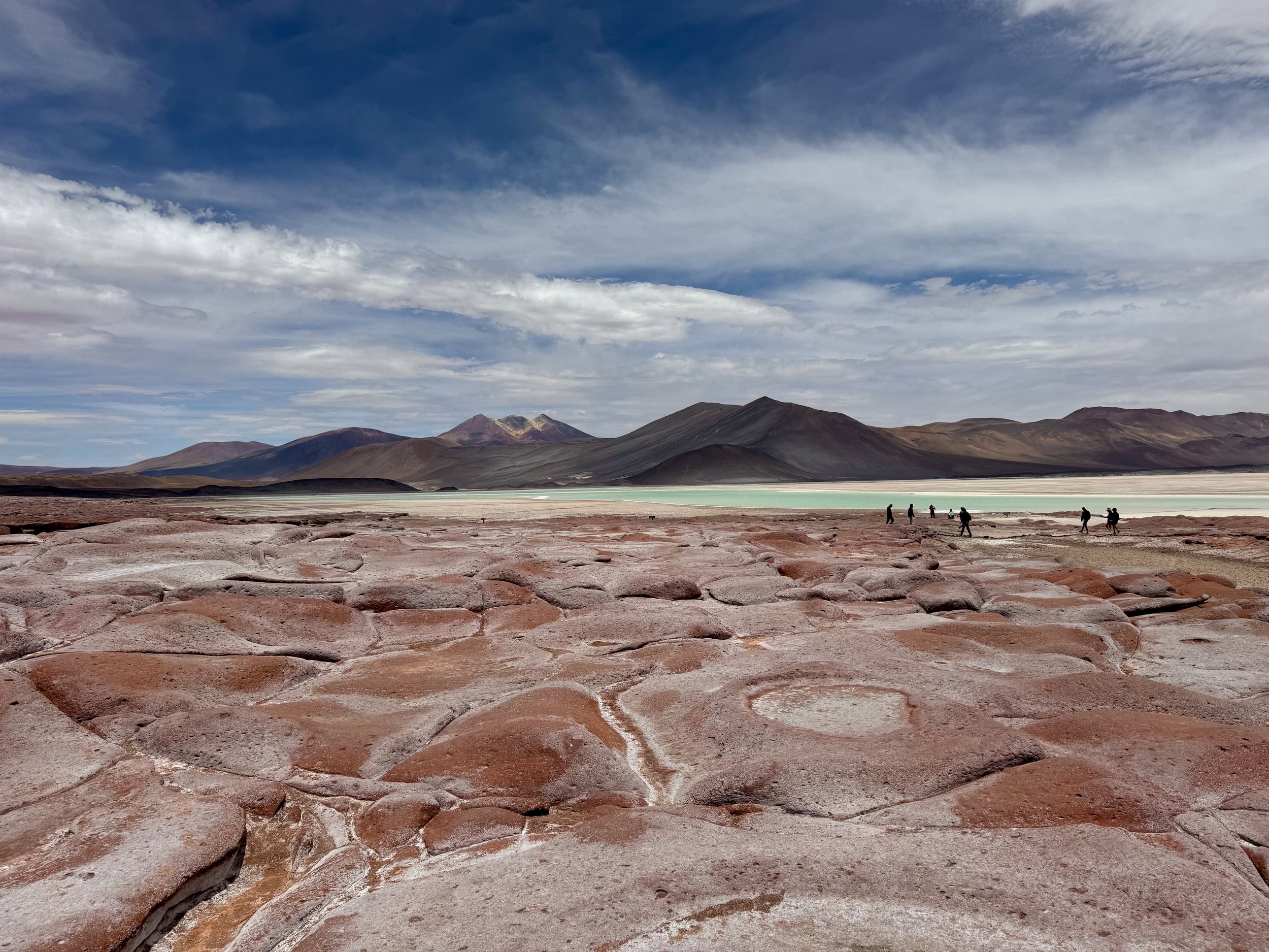
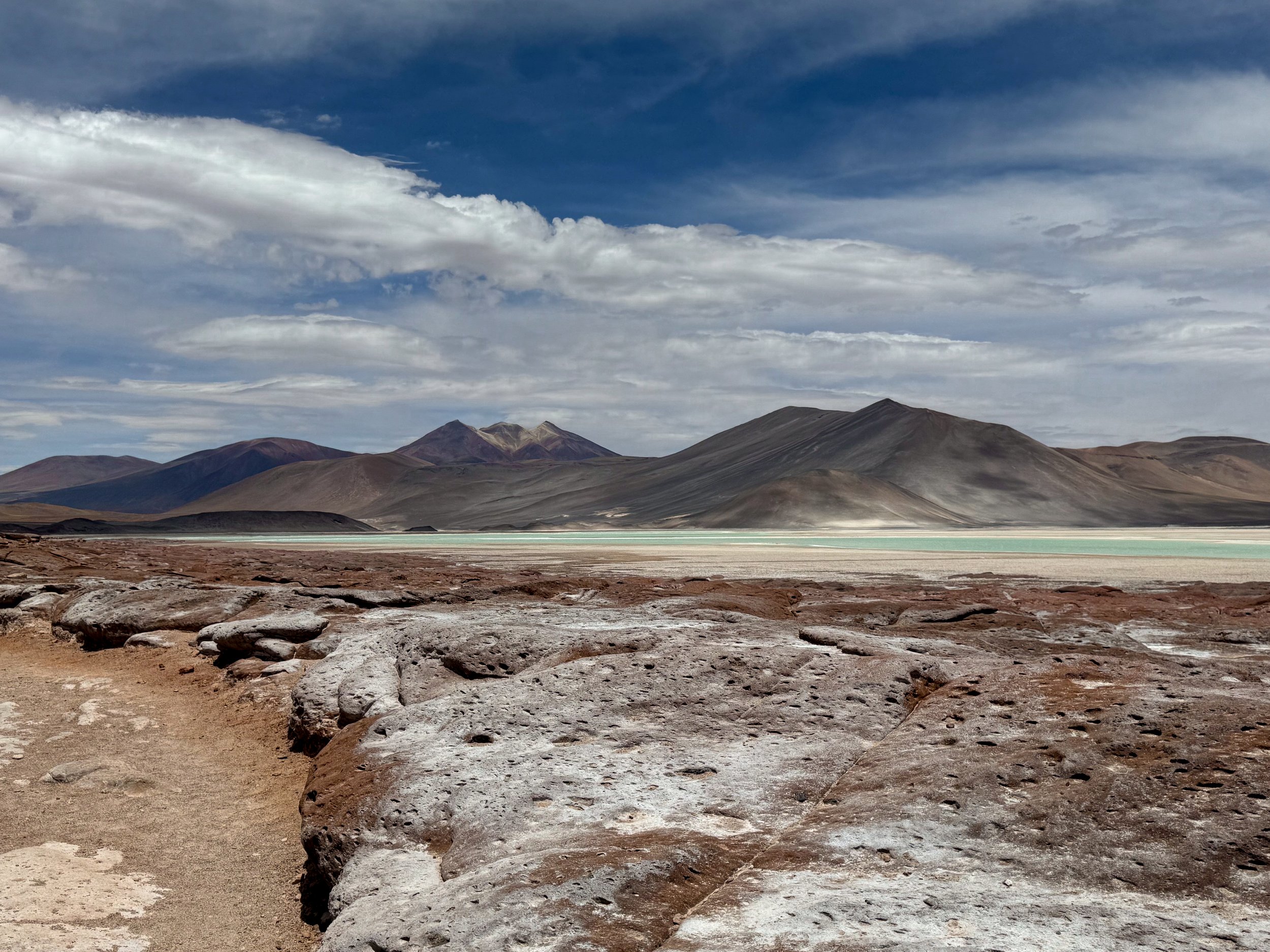
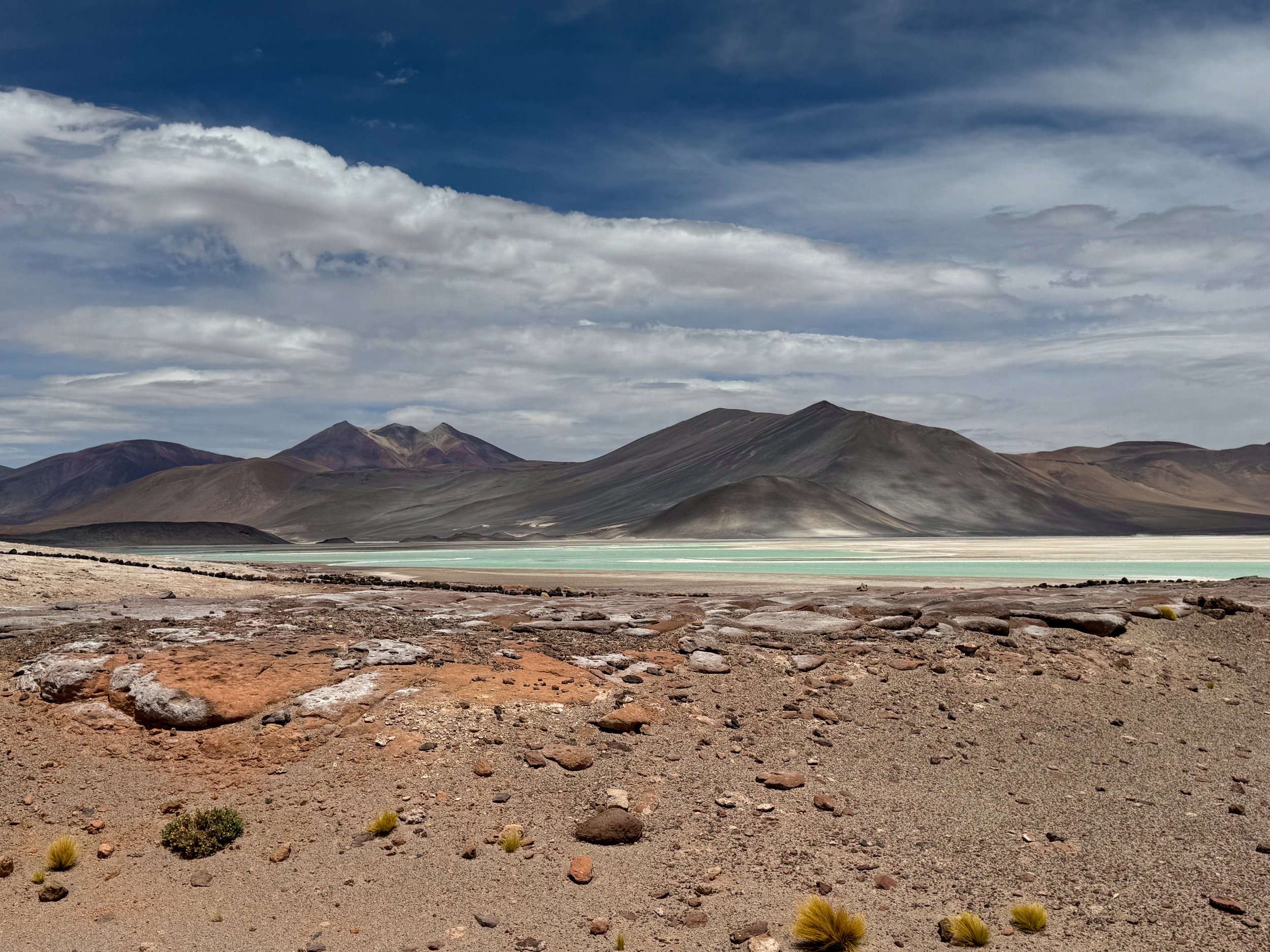
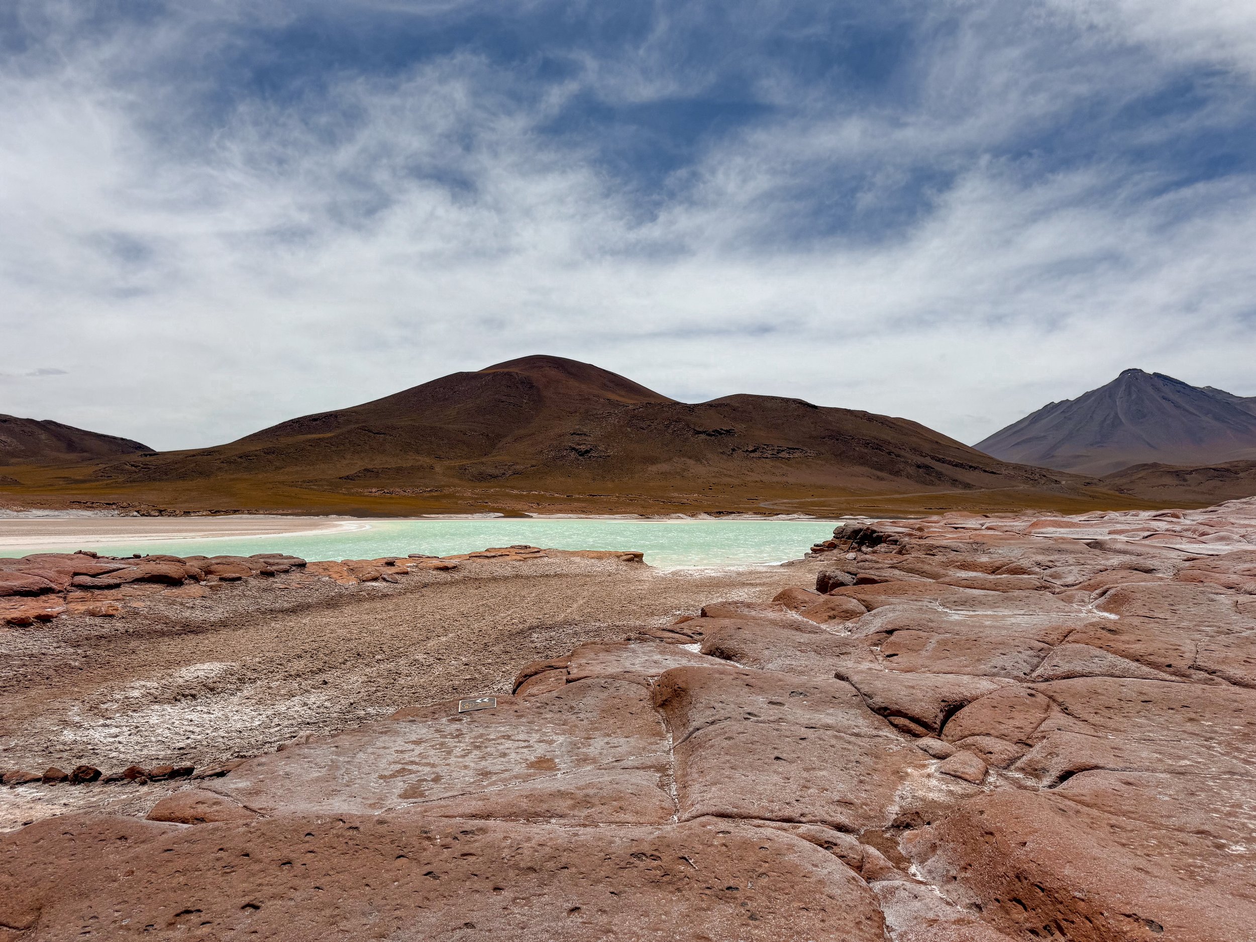
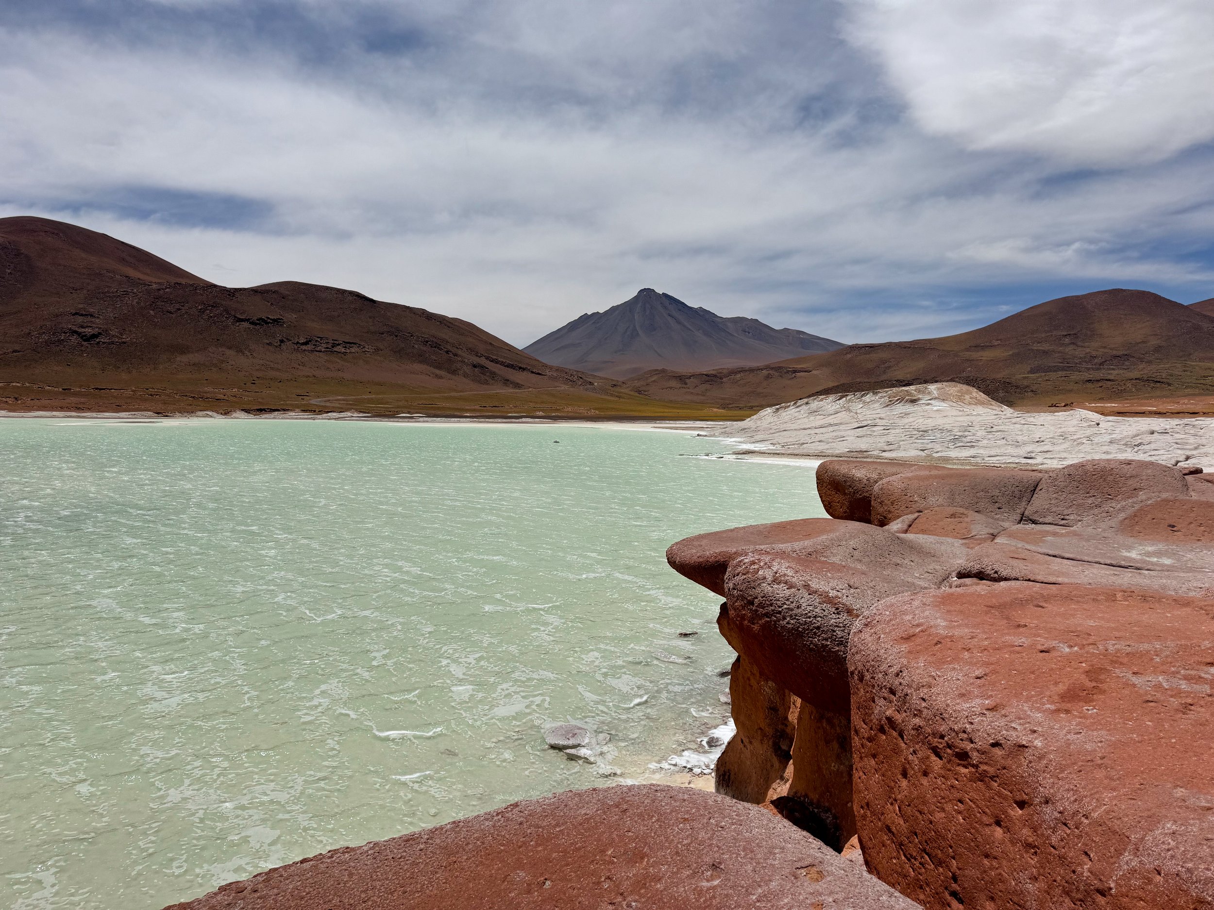
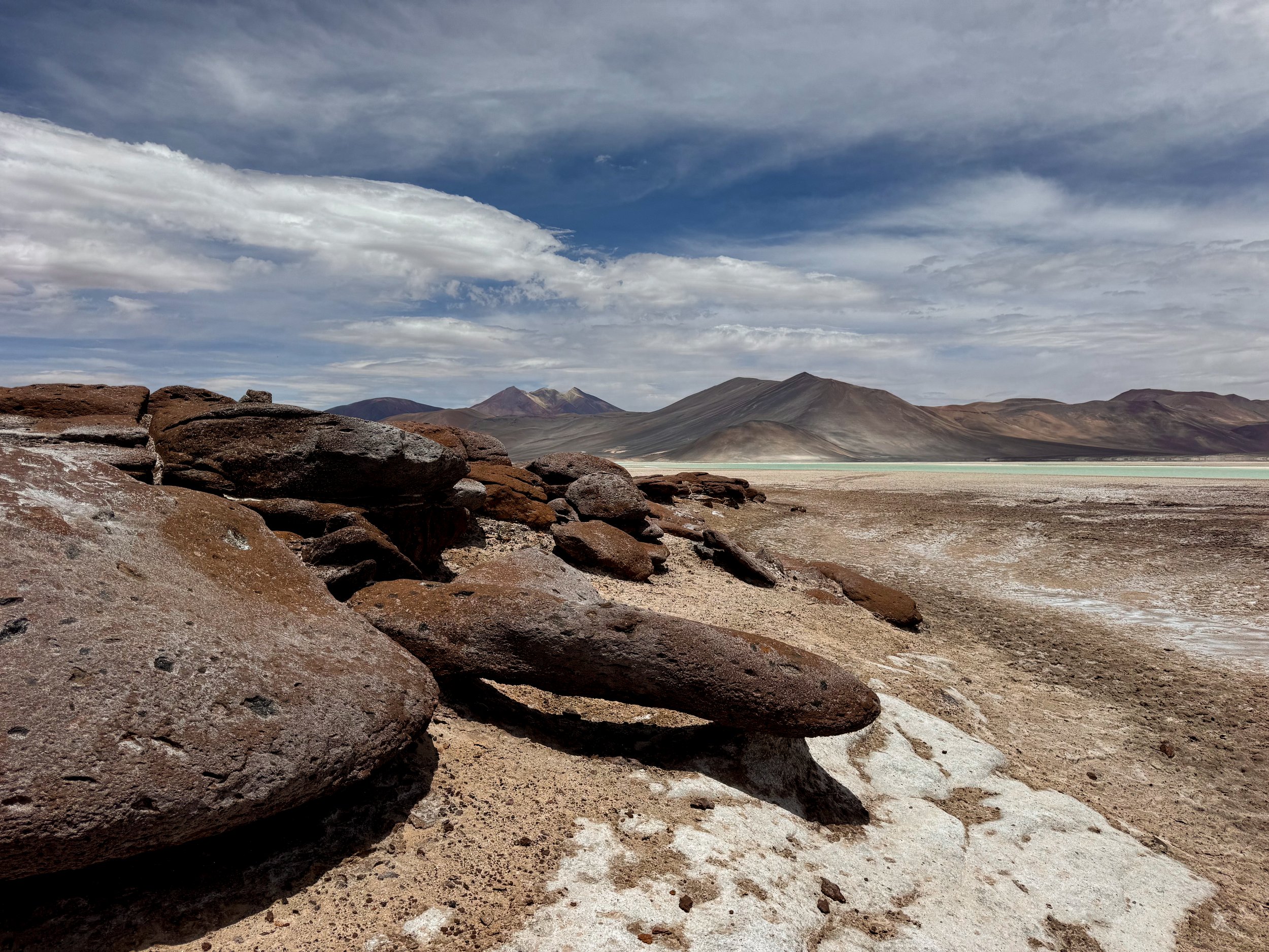
Salar de Aguas Calientes (Piedras Rojas). A milky blue lagoon covering a pure white salt flat juxtaposed by a hardened red rock lava flow with a smooth and wavy texture. The lagoon is surrounded by towering volcanos with dark slopes and streaks of colorful mineral deposits near their summits.
Salar de Atacama. A craggily salt flat flanked by three mountain ranges home to multiple species of flamingos and migratory birds. We walked one of the trails, watching the flamingos feed and fly.


Lagoons
Laguna Miñiques. A large freshwater lagoon with a blue hued color at the base of the Miñiques Volcano. The lookout offers panoramic views of both as well as the volcanic mountain range beyond, shrub covered hills and distance vicuñas (a cute camelid) and suri (a large ostrich like bird)
Laguna Miscanti. A dark hued freshwater lagoon at the base of the Miscanti Volcano home to the Horned Coot, marine birds that build cone shaped mud nests in the lagoon near the shore.
Laguna de Machuca. A freshwater lagoon with hundreds of vibrant pink flamingos feeding, flying and mating around the shallow water. We spotted a large group of male flamingos dancing in unison to attract females.
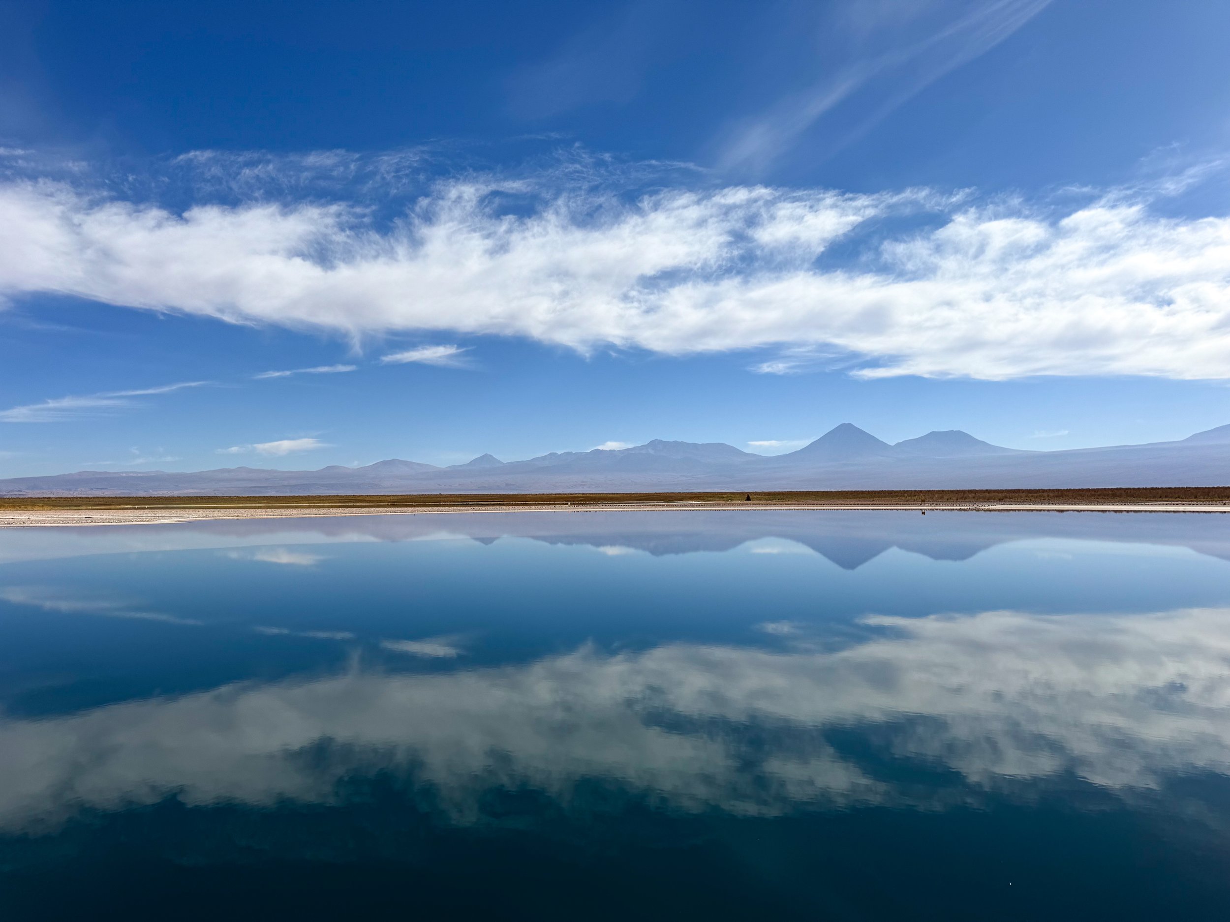
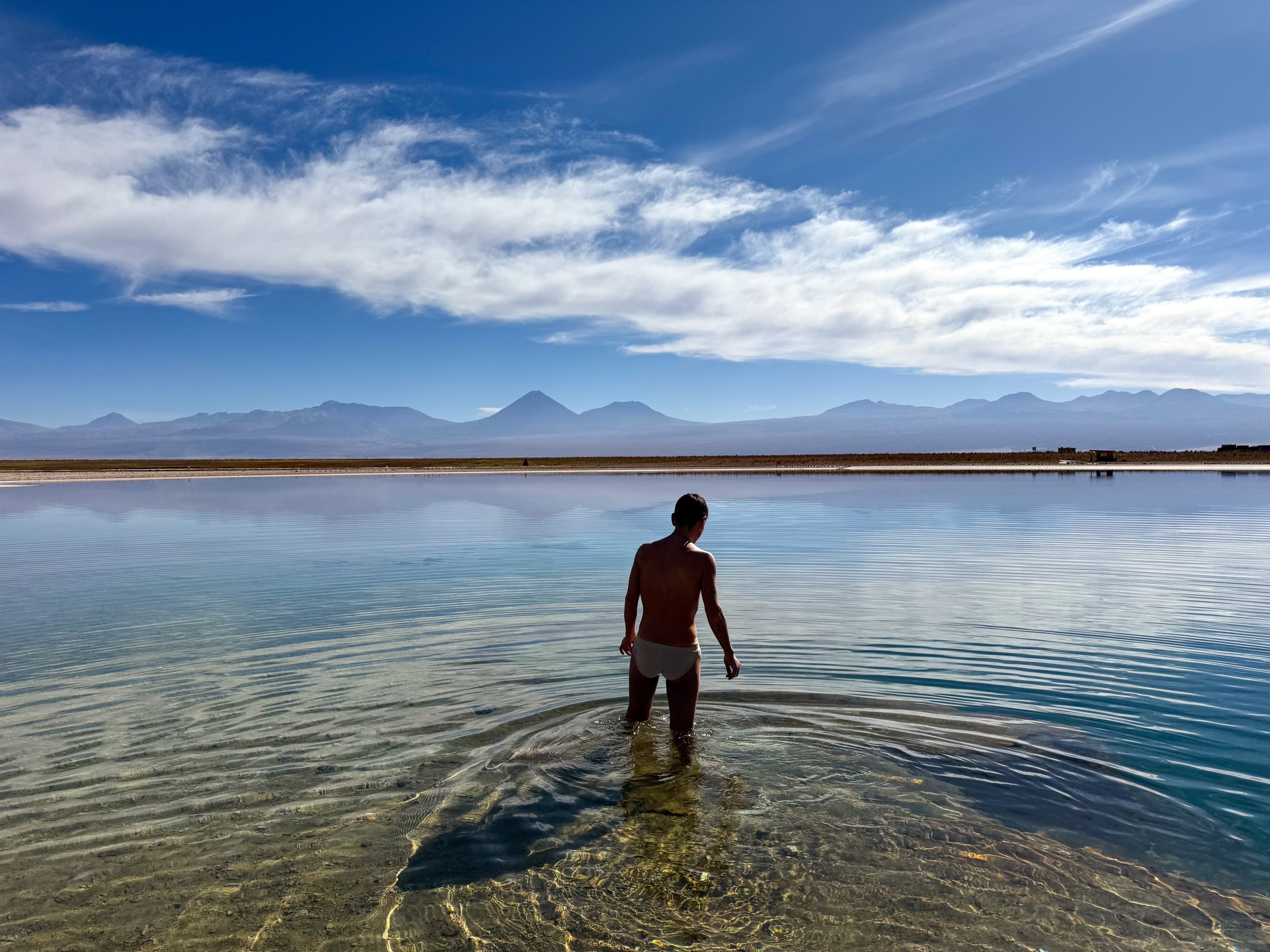
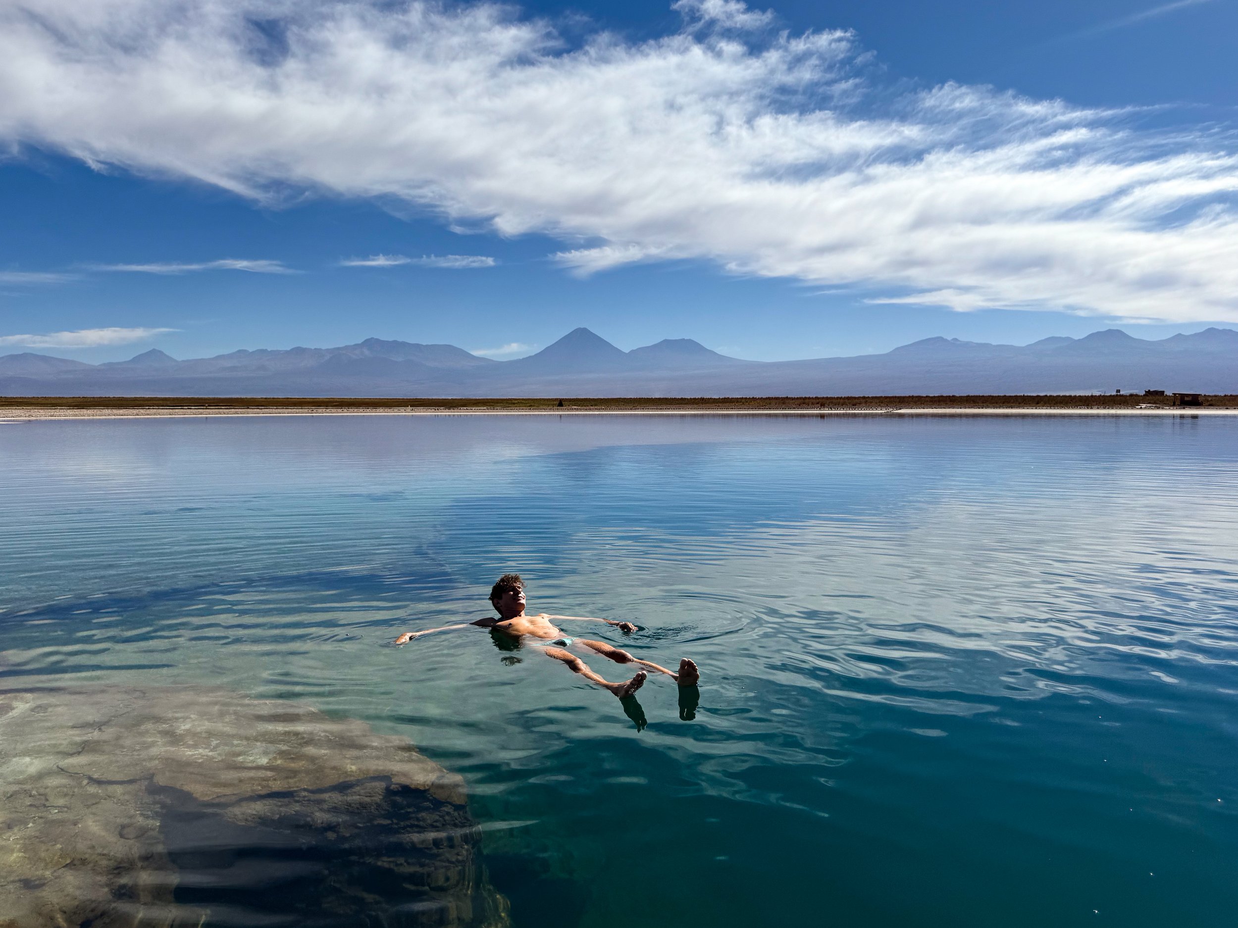
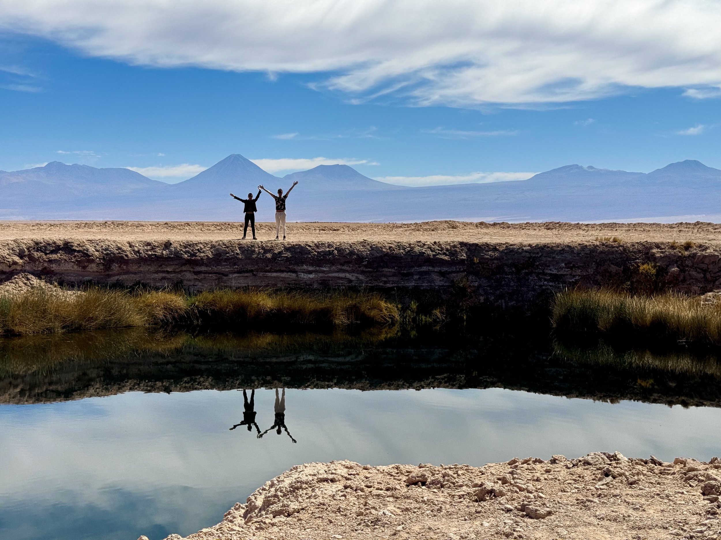
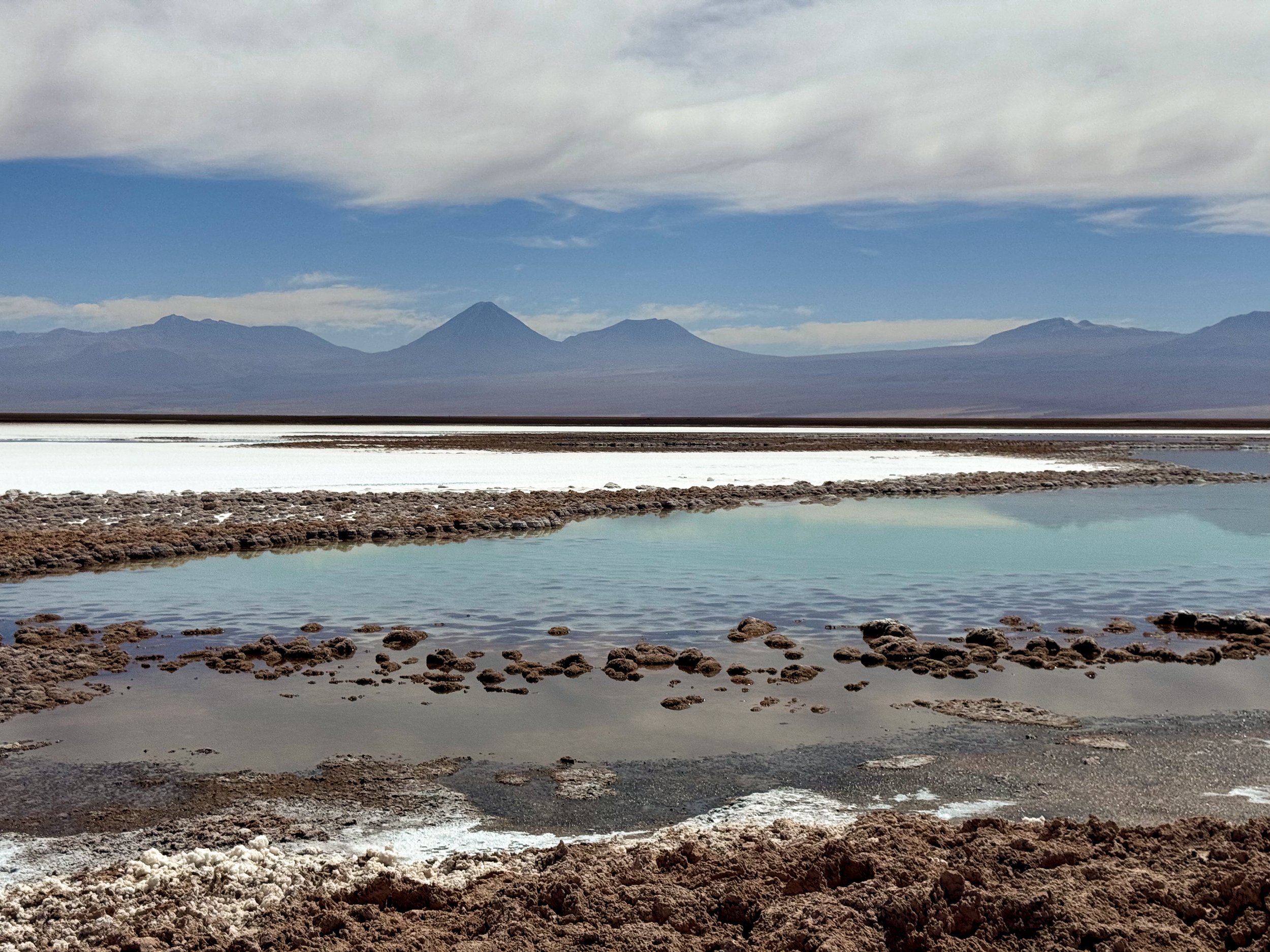
Lagunas Escondidas de Baltinache. A salt water lagoon with a mirror effect reflecting the volcanos and sky. It’s one of the only lagoons in the Atacama that people are allowed to swim in. We walked into the cold water and effortlessly floated at the surface.
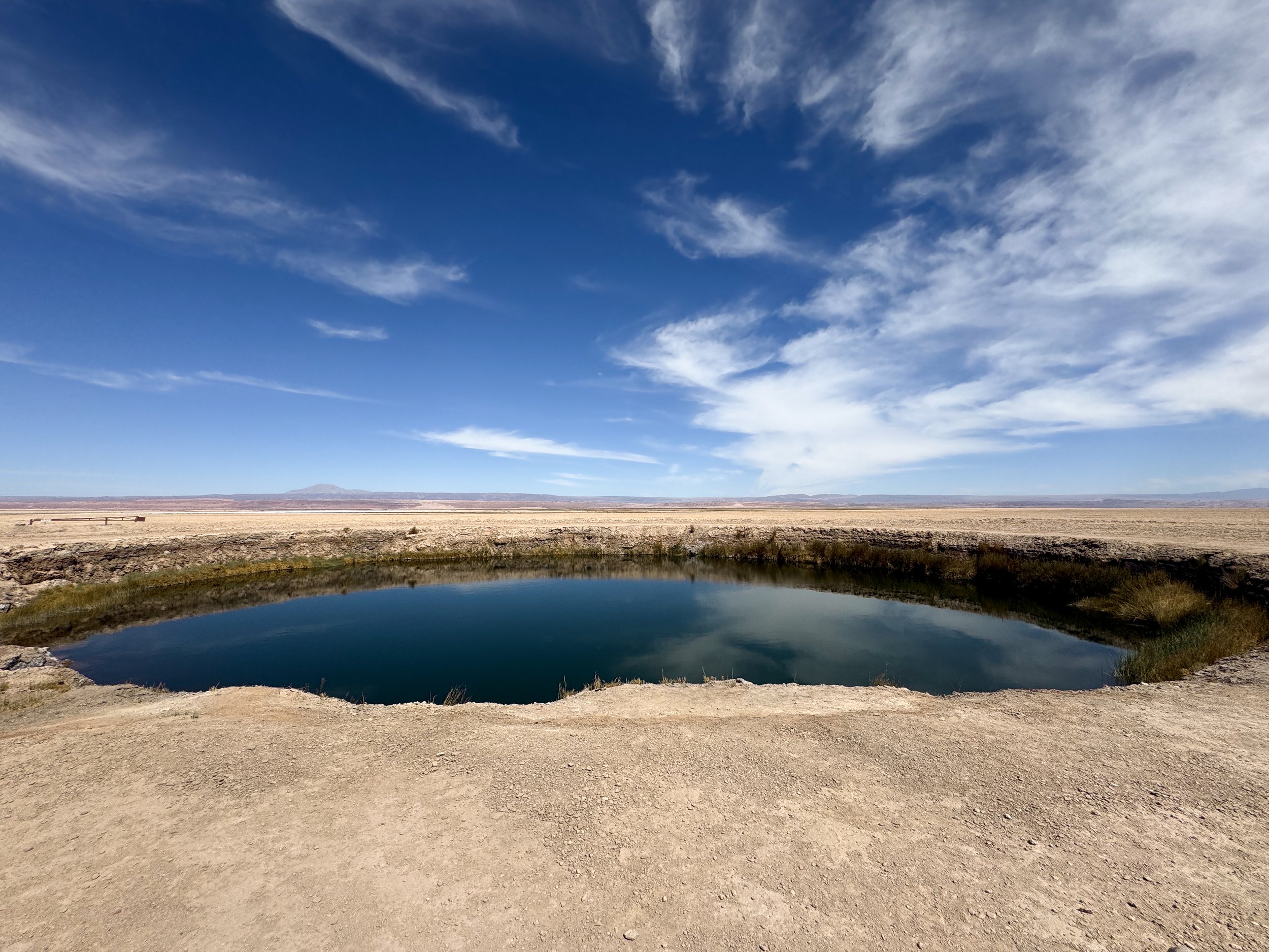
Ojos del Salar. Two small, nearly perfectly round lagoons that resemble a pair of eyes.
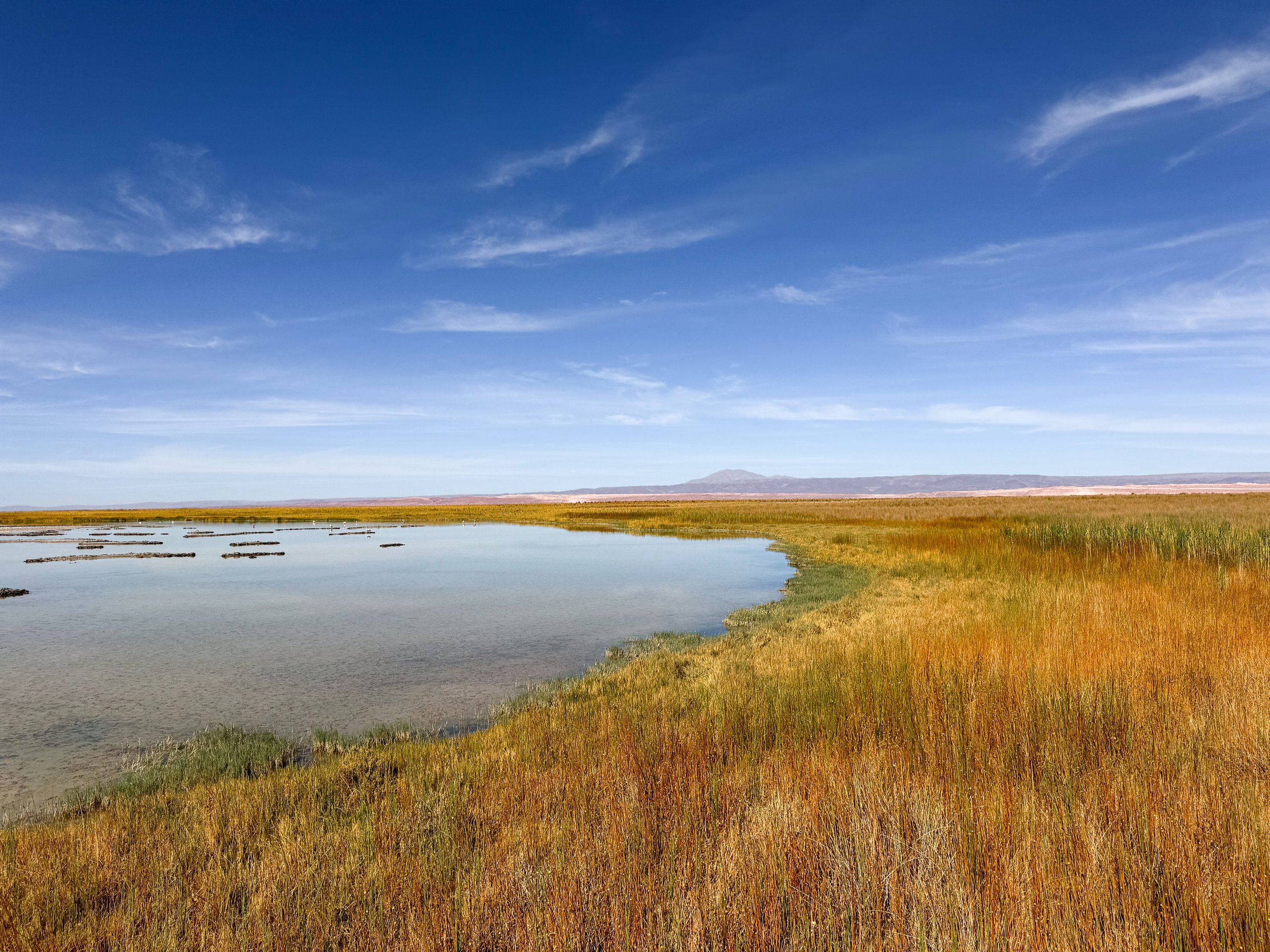
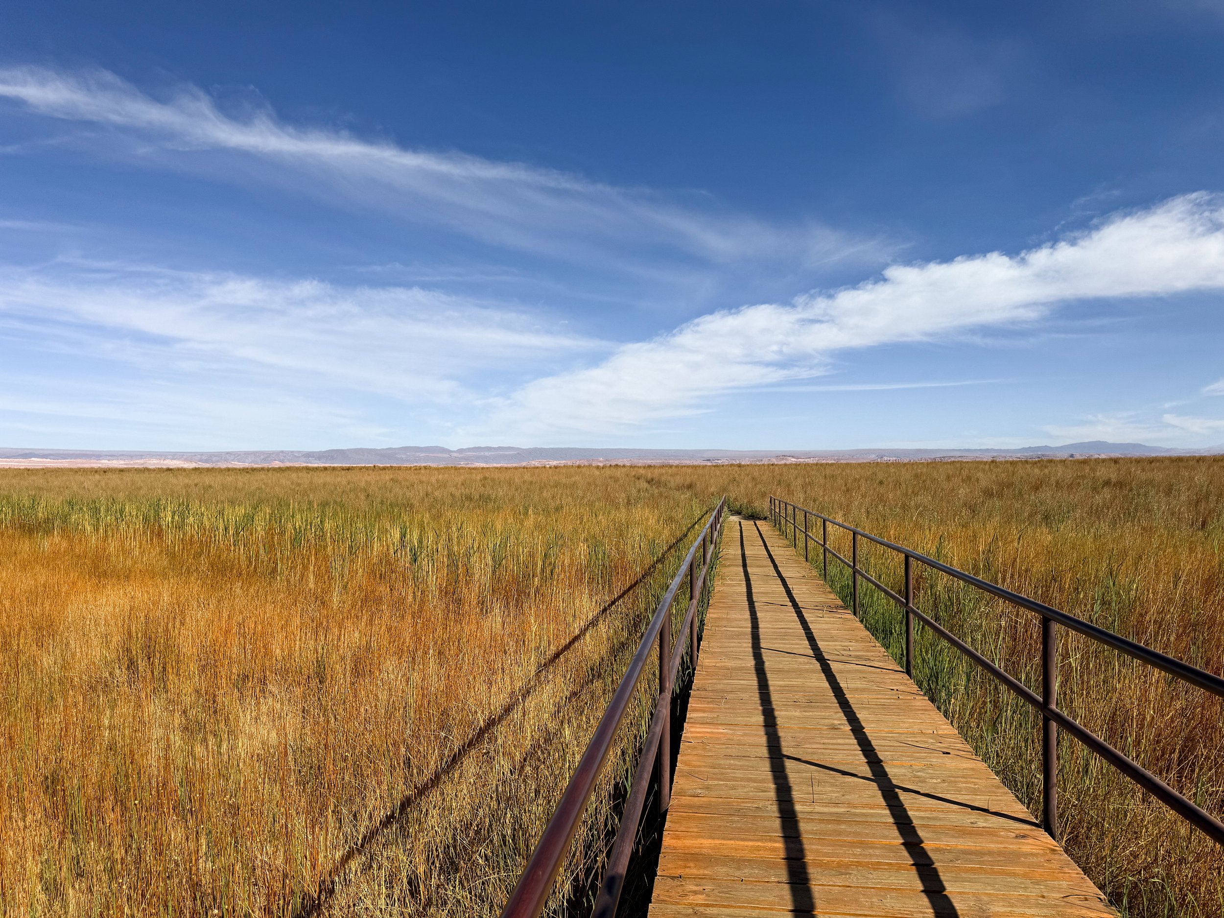
Laguna Cejar. A lagoon with a boardwalk along its grassy edge and flamingos feeding in the distance.
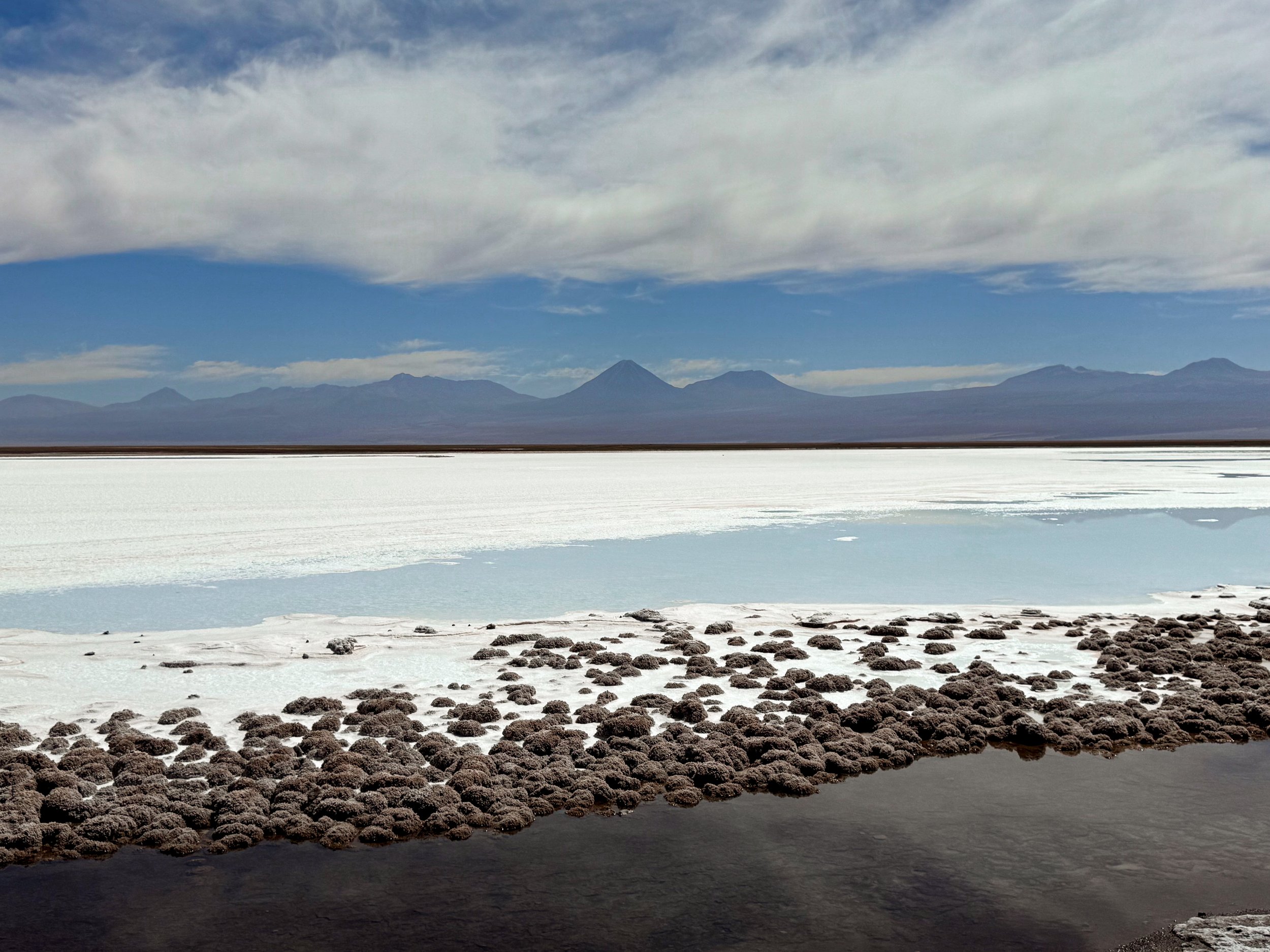
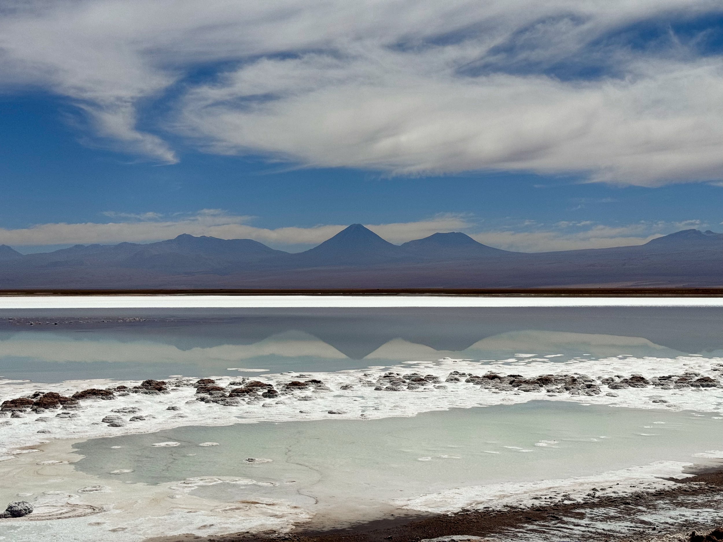
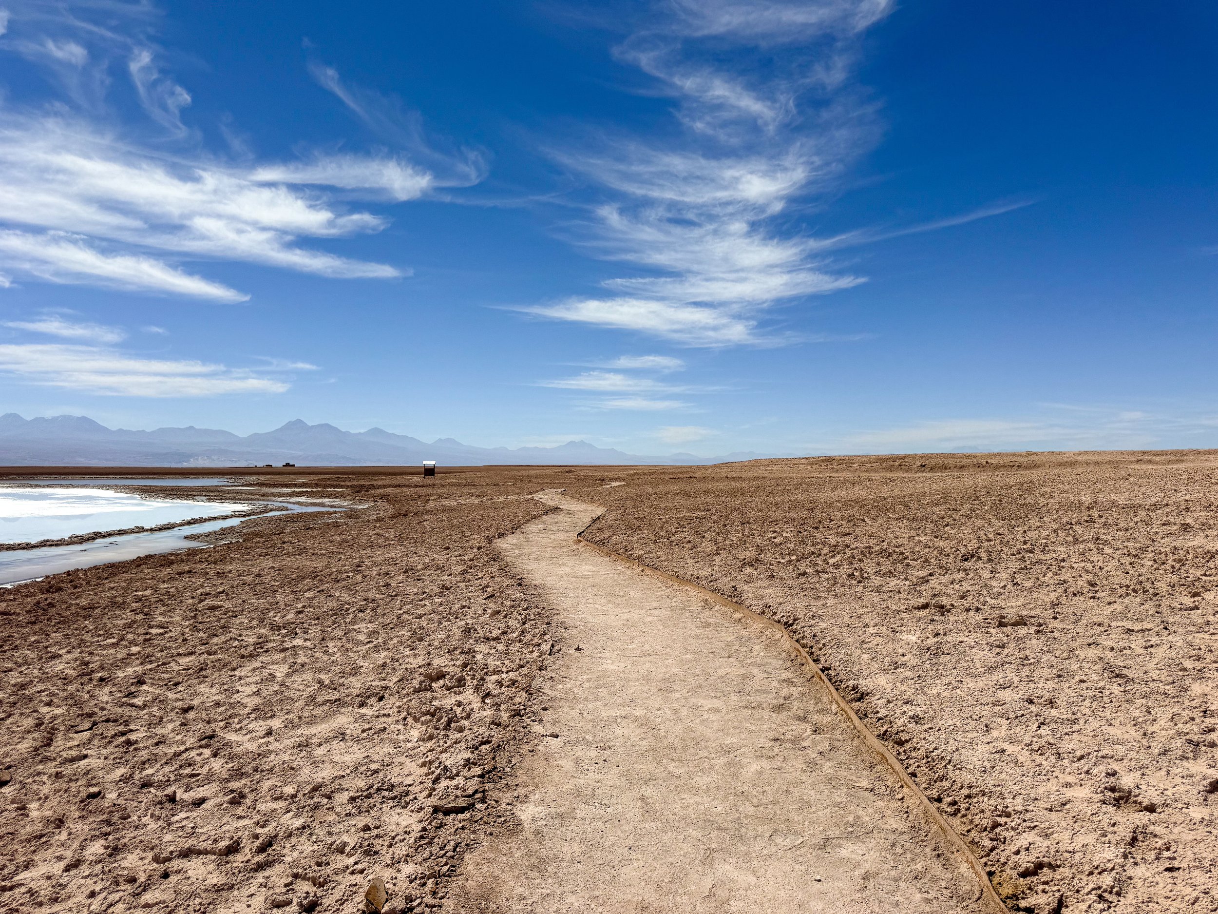
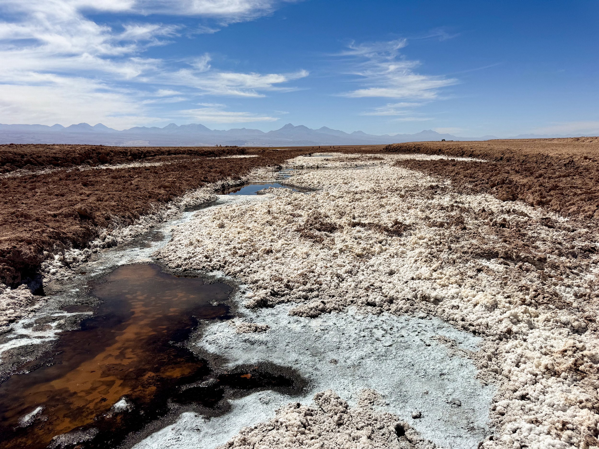
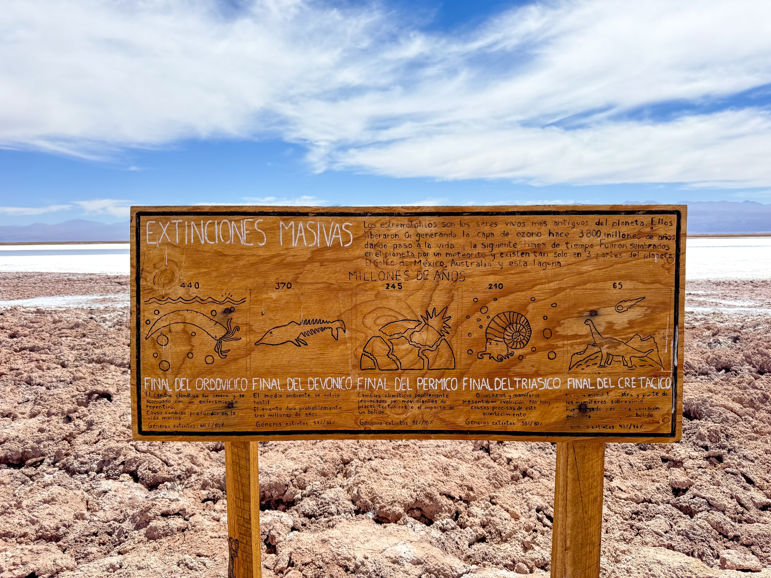
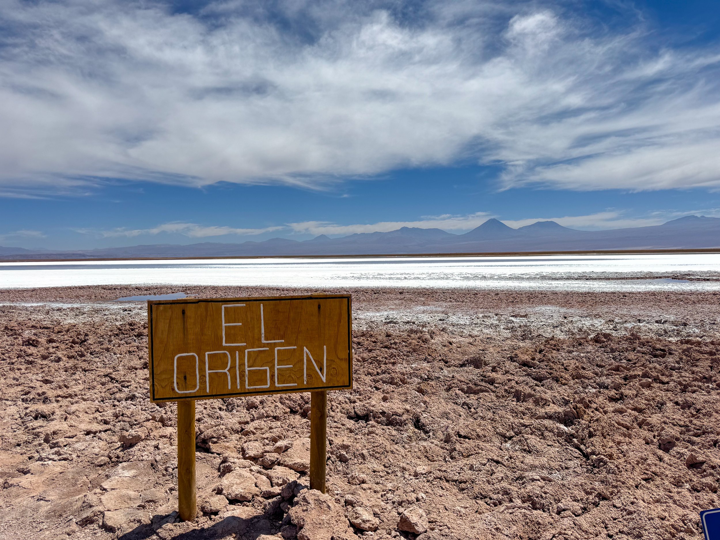
Laguna Tebenquiche. A shallow salty lagoon in a slat flat home to colonies to stomatalites, the first life forms on Earth. The trail emphasizes how they were the origin of life on earth and have played a role in continuing life after the past 5 mass extinction events.


Geysers & Wetlands
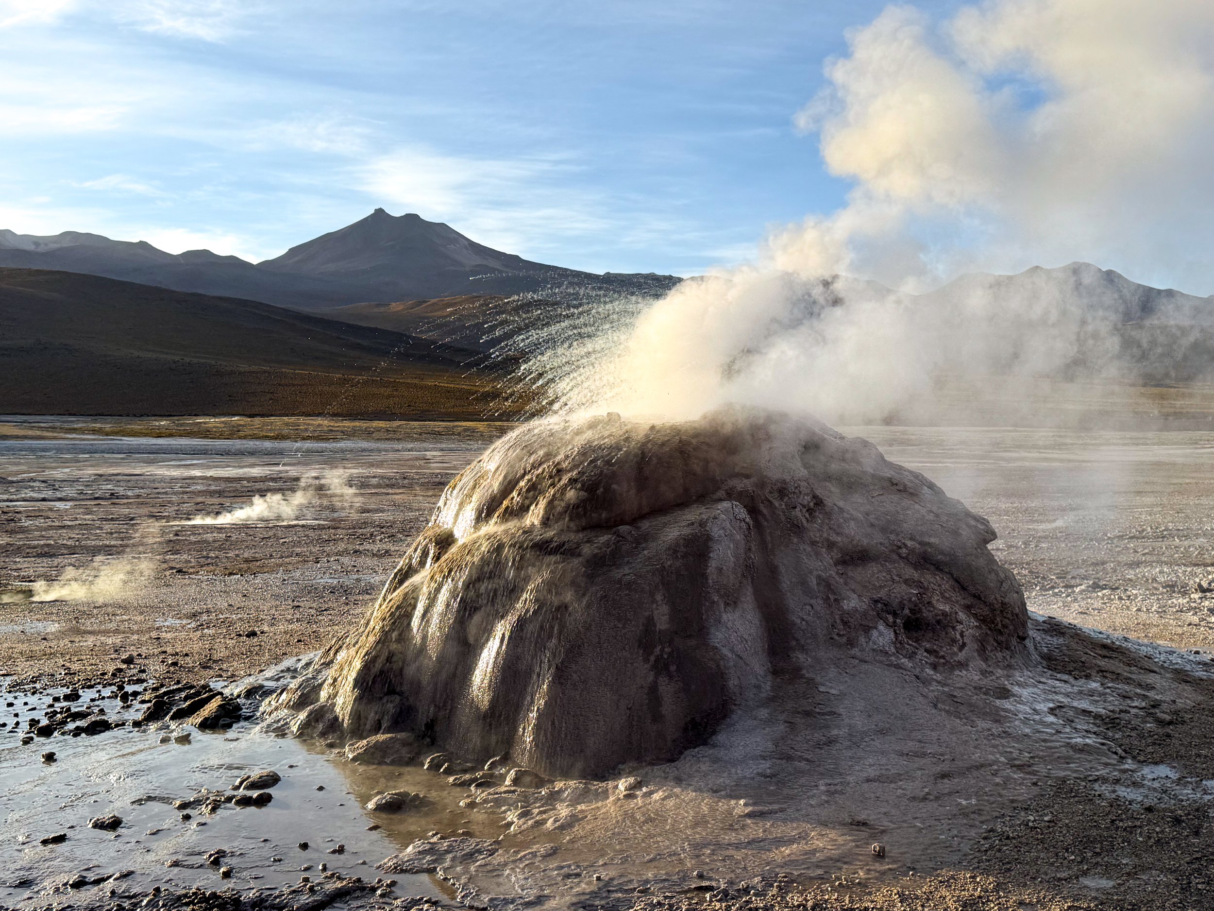
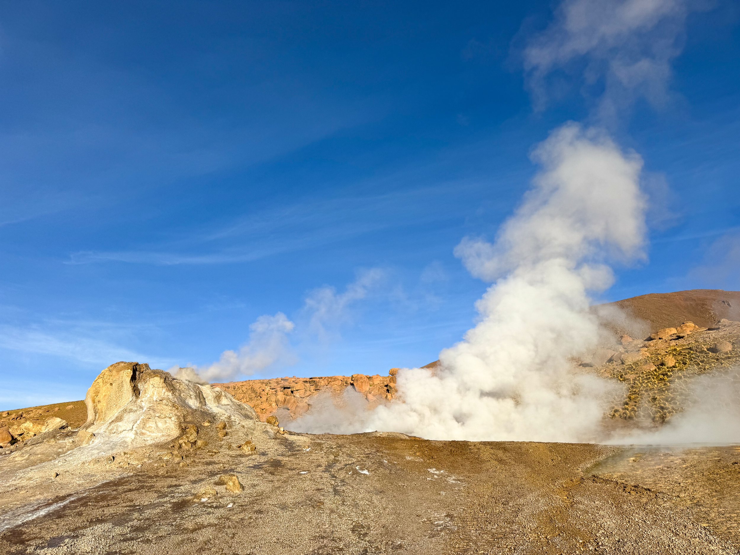
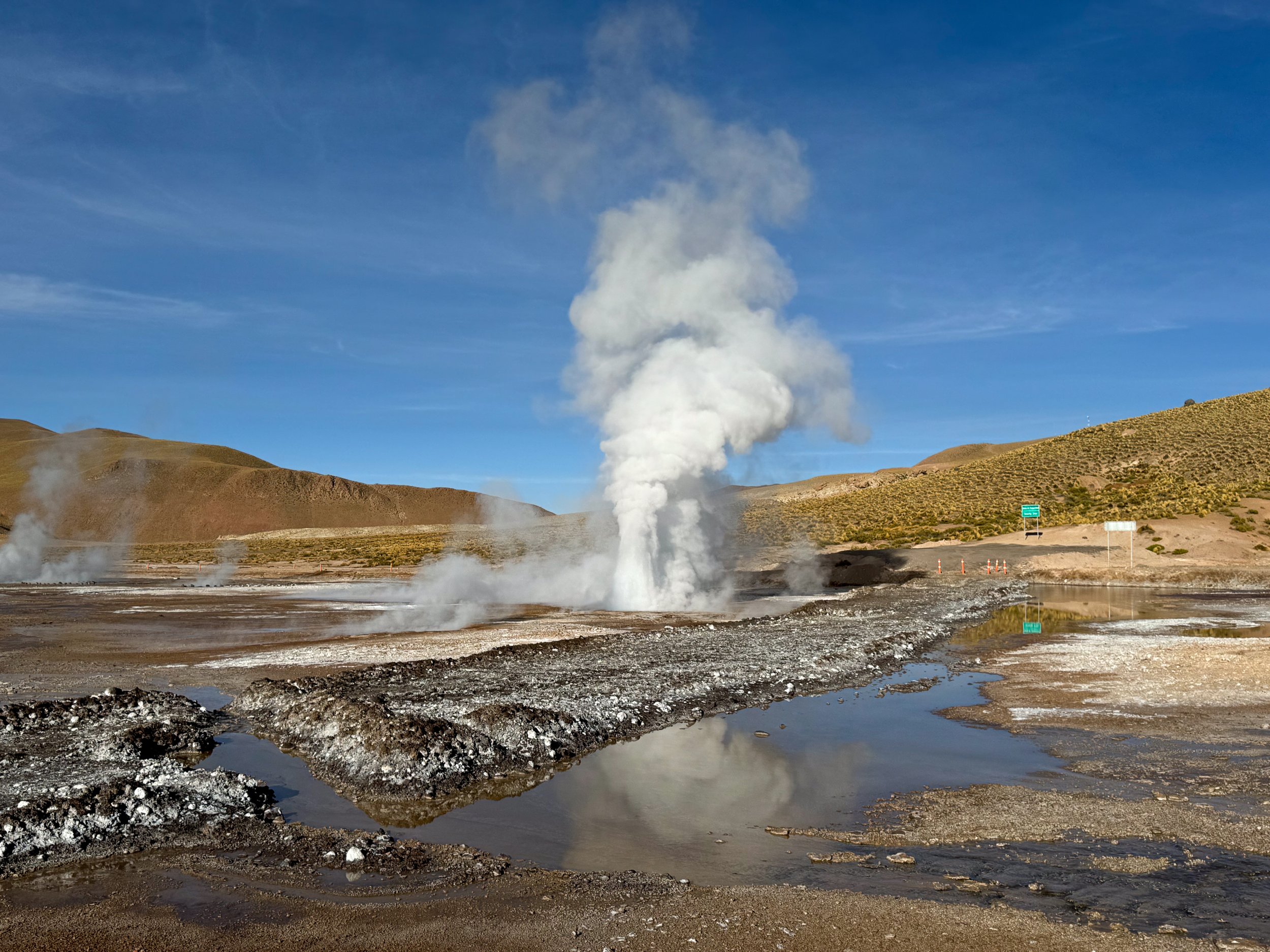
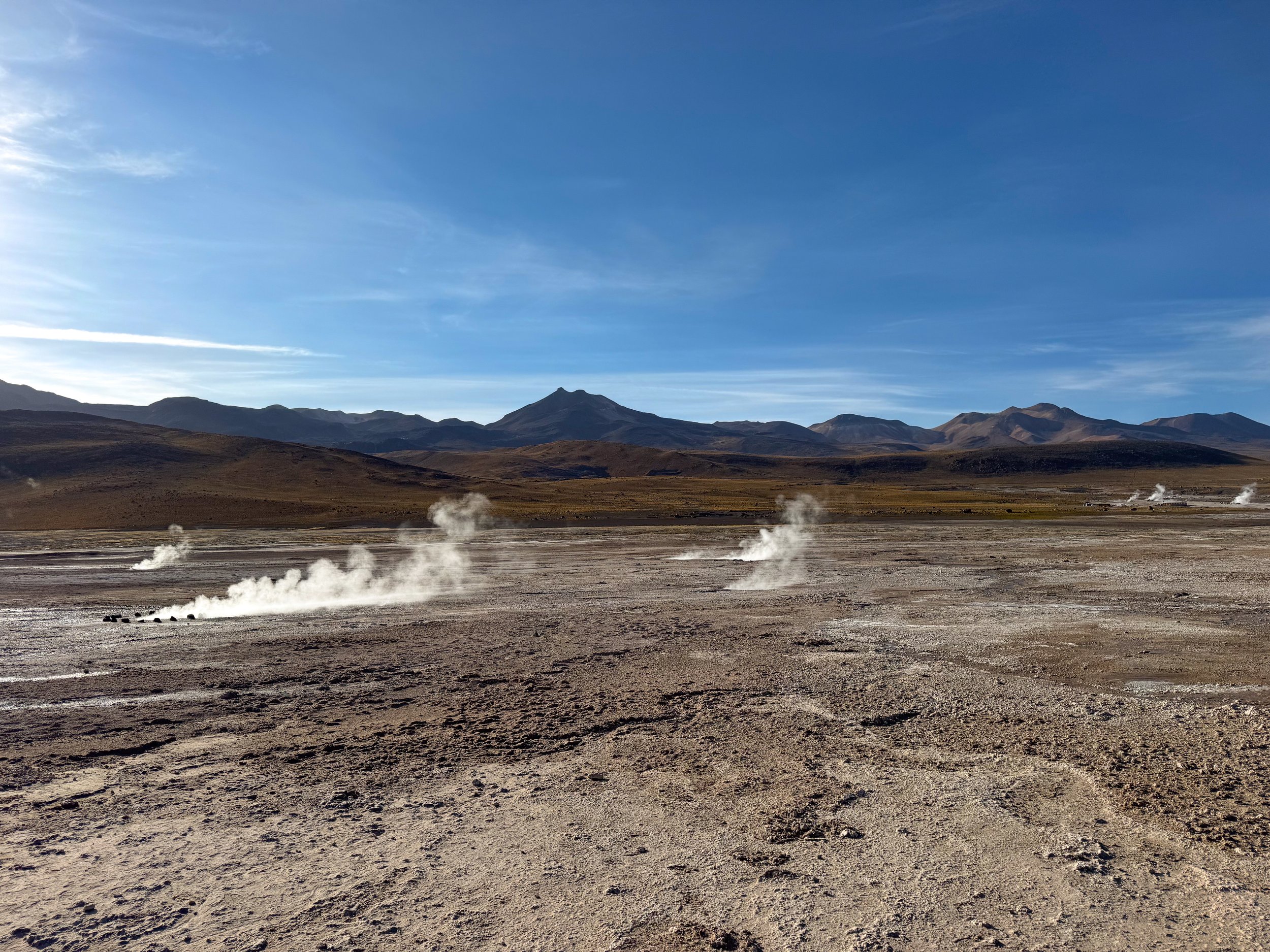
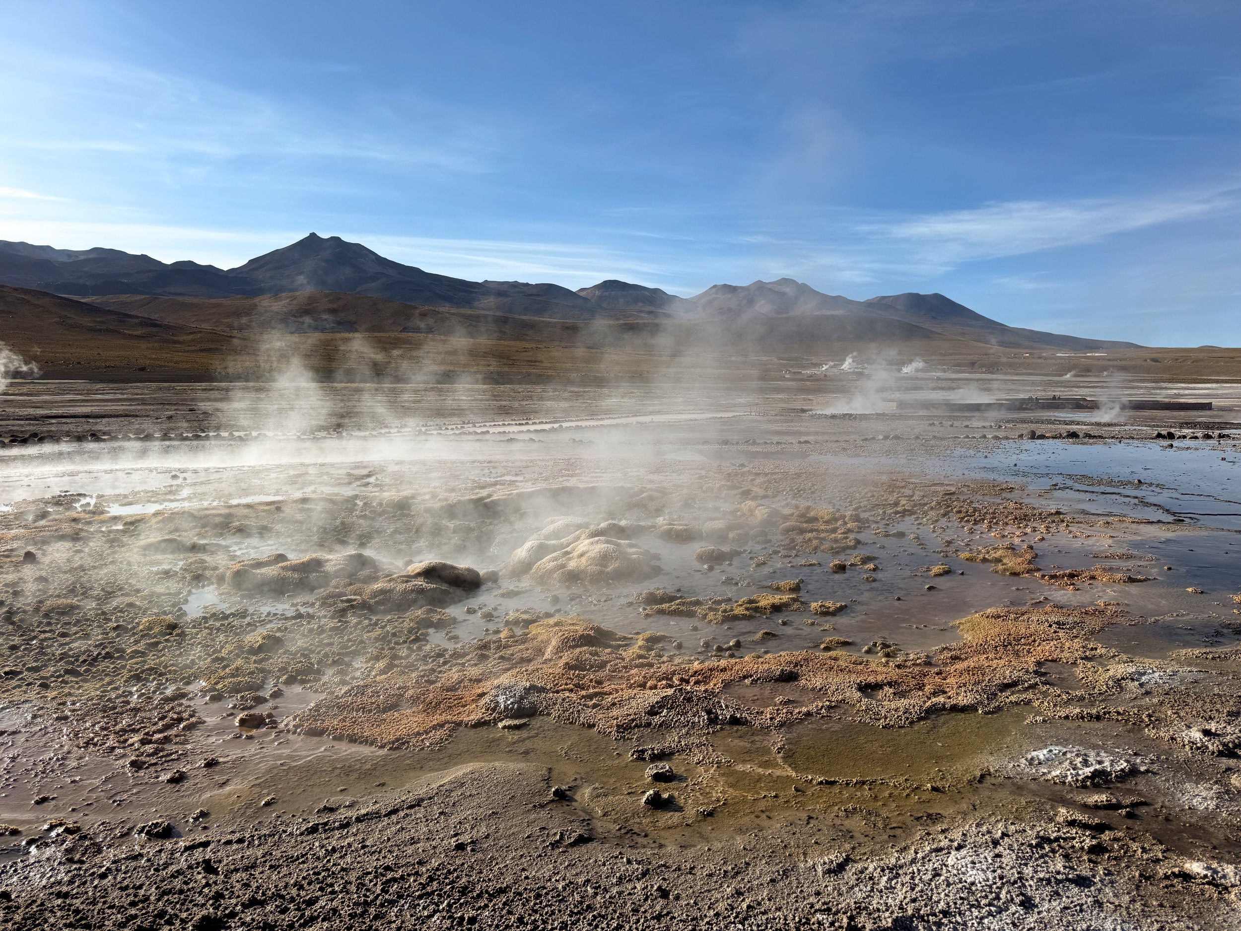
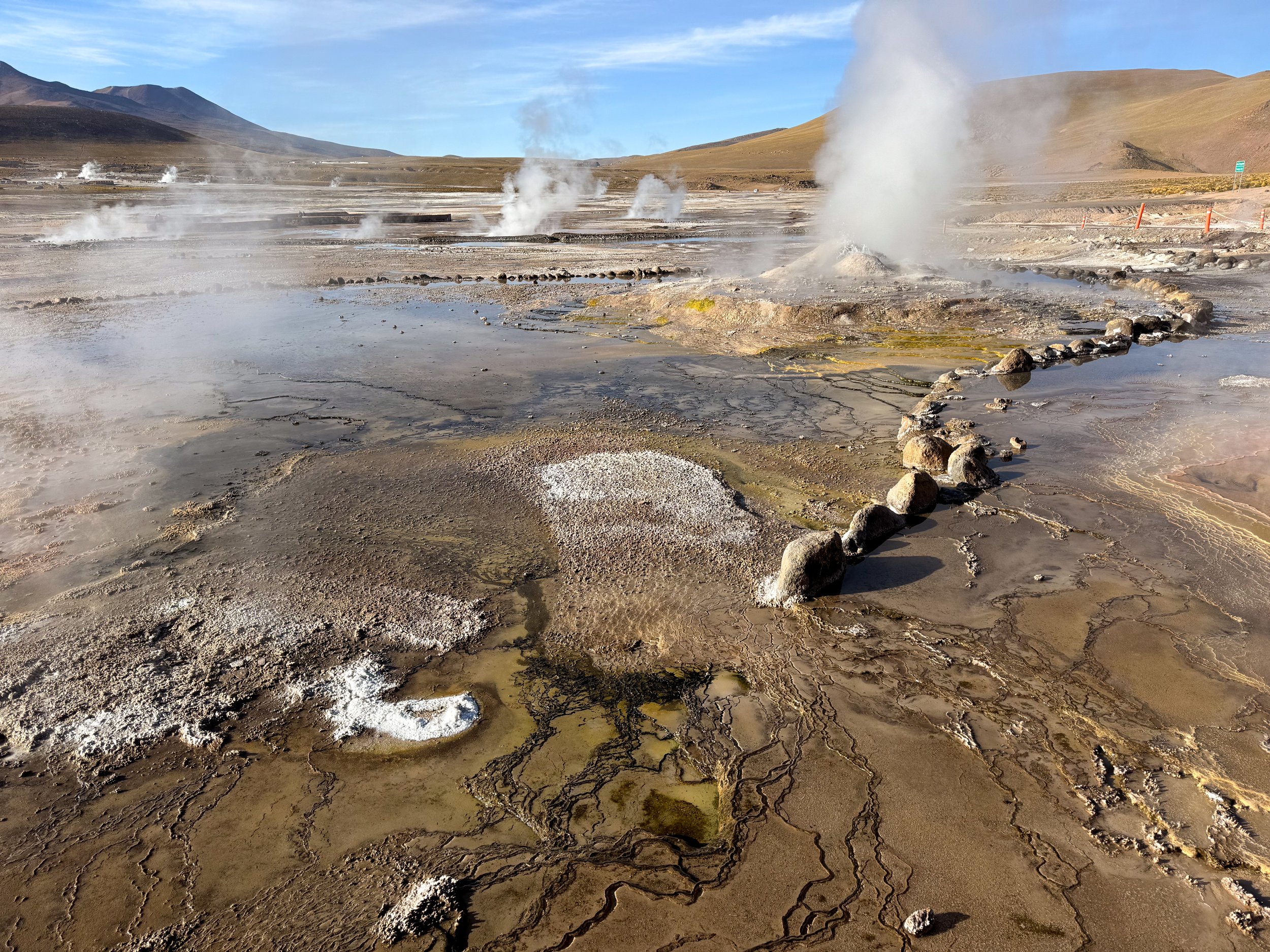
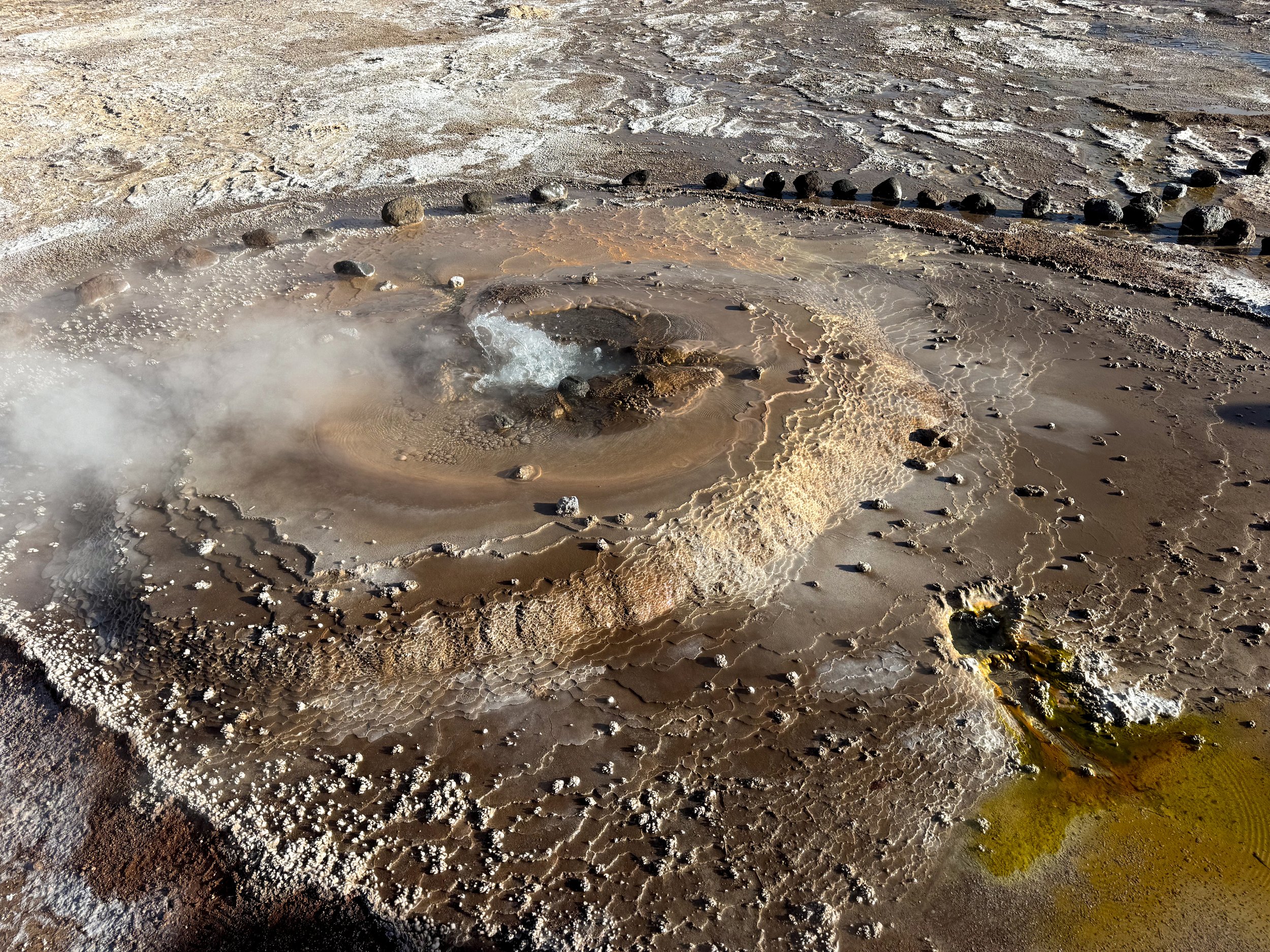
El Tatio Geysers. A large geothermal field in a valley with dozens of steaming vents, bubbling pools, erupting geysers and streams of scolding water. The geysers are small but varied. Some erupt from cone like structures of sediment, others bubble and sputter from shallow pools of water and some steam from tiny holes. The frigid morning temperatures make the steam from the geysers most visible. In the extreme cold, boiling water erupting from the geysers freezes immediately creating sparkling streaks of ice. It was -8C the spring morning we visited so warm clothes and layers were a necessity.
Vado Putana Wetlands. A desert wetland at the base of the Cerro Pabellón Volcano where a variety of birds and wildlife acclimate to. We stopped to admire the green and yellow marshy landscape spotting flamingos, vicuñas, horned koot and blue beaked ducks.

Rock Formations
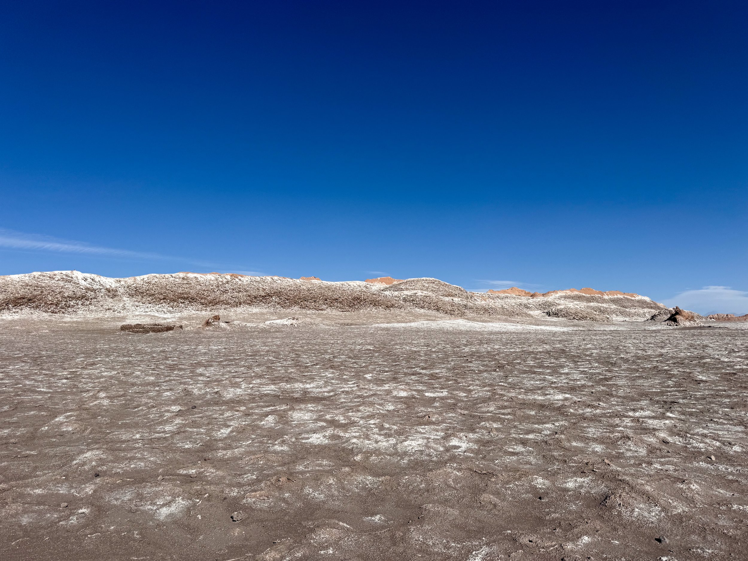
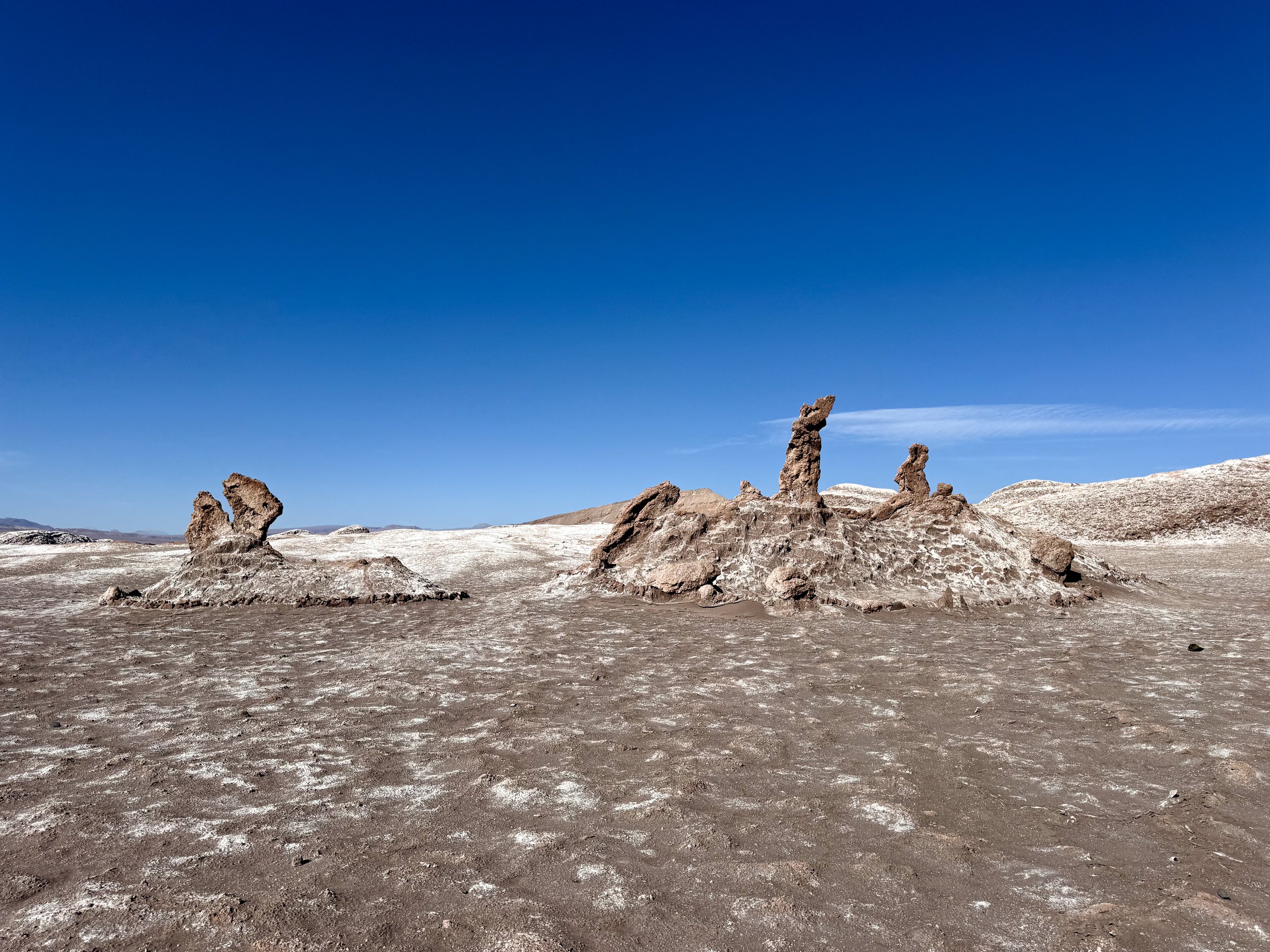
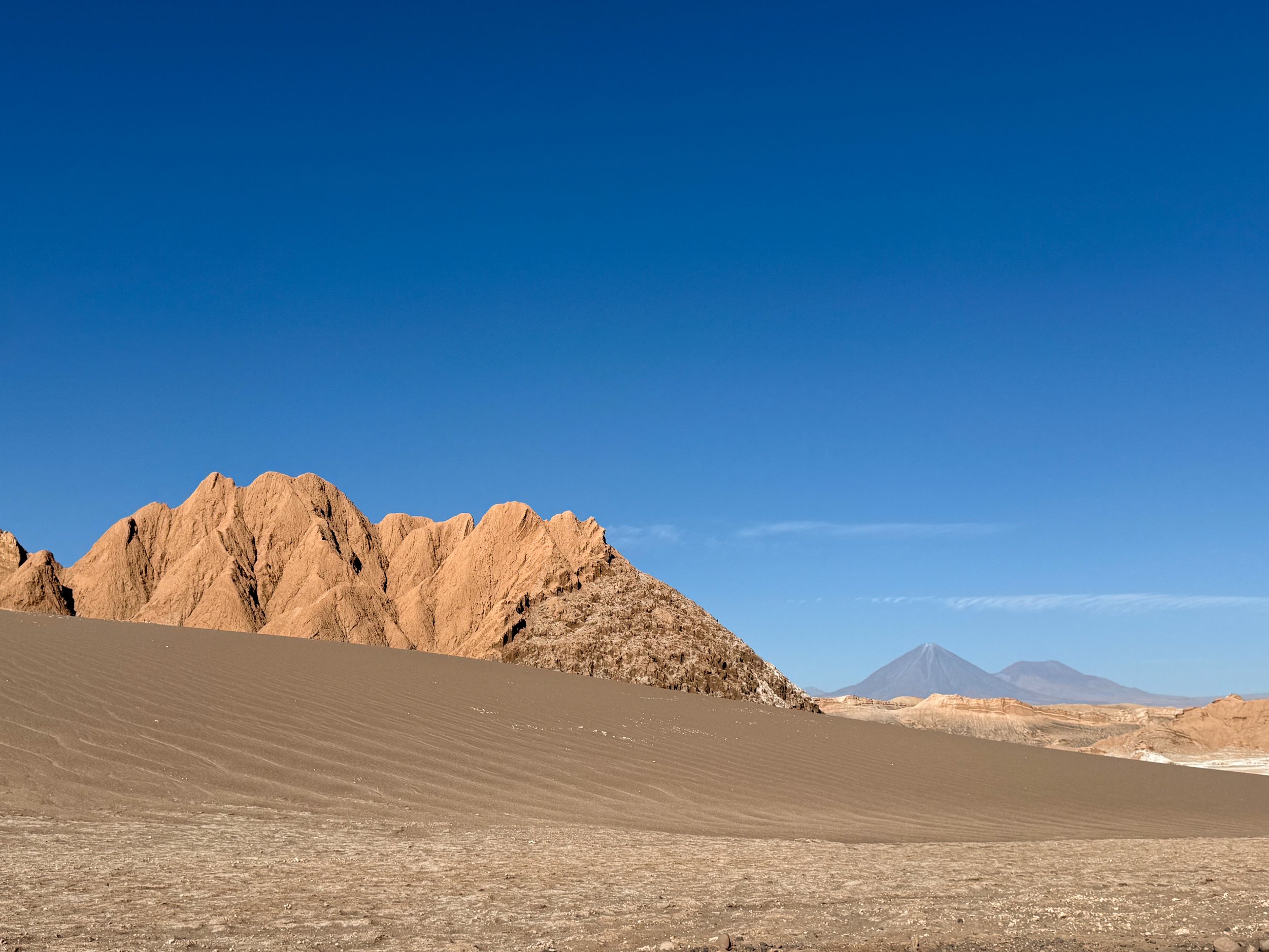
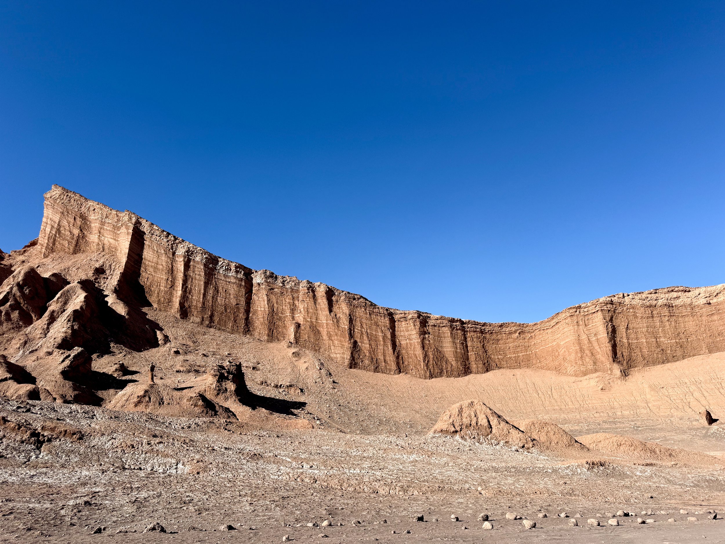
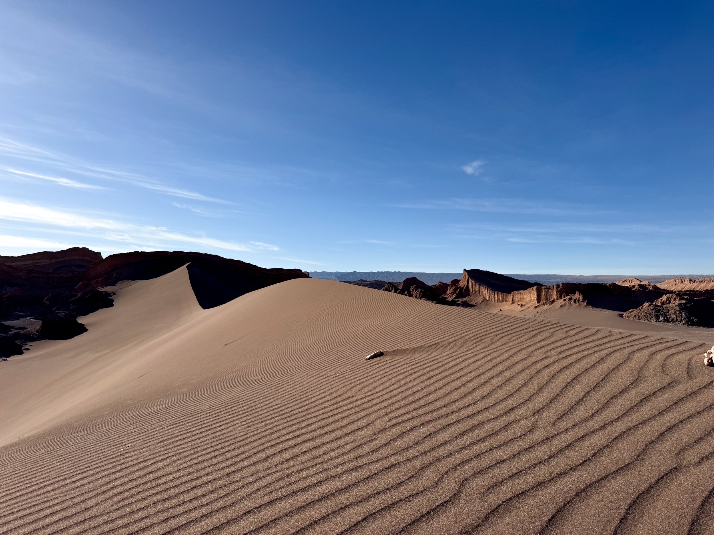
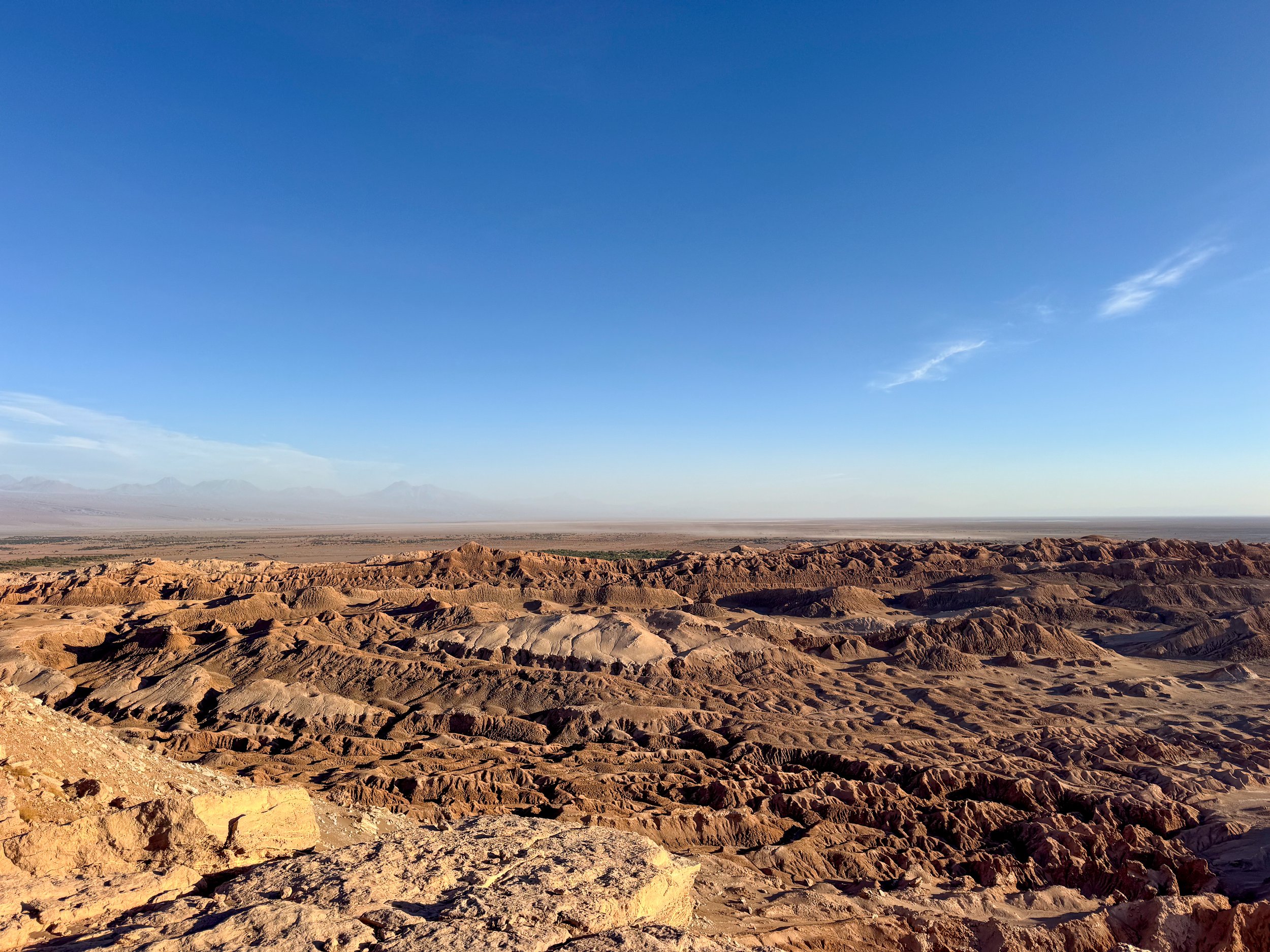
Valle de la Luna (Moon Valley). A desert valley named after white dustings of salt over the valley’s surfaces, resembling the moon. We hiked through the valley, stopping to see rock formations, climb giant dunes and take in the view from scenic overlooks.
Mina Victoria. A former salt mining area to listen to the salt creaking and cracking as the afternoon temperature drops
Tres Marias. A rock formation that looks like two women praying with their hands up. The third Maria has eroded.
The Amphitheater. A large crescent shaped bluff with layers of brown, orange and salty sediment. We followed a trail leading along its base.
Duna Mayor. A massive tan and grey sand dune with a trail leading up to its crest overlooking the valley.
Good to Know. The park cannot be entered on foot. It can be entered by bike before 11am. Getting here by car our tour company is the best way to visit.
Mirador de Kari & Piedra del Coyote. A popular cliff side overlook to visit at sunset overlooking the Valley of the Moon and canyon below. On a windy day, the dust and sand blowing from the canyon below can be unbearable.
Desert Animals. The Atacama Desert and Chilean Andes are home to a variety of wild animals. On our tours across the region, we spotted several of the most common animals including Chilean flamingos, vicuñas, chinchillas, desert foxes, and ñandús.









Astronomical Sights
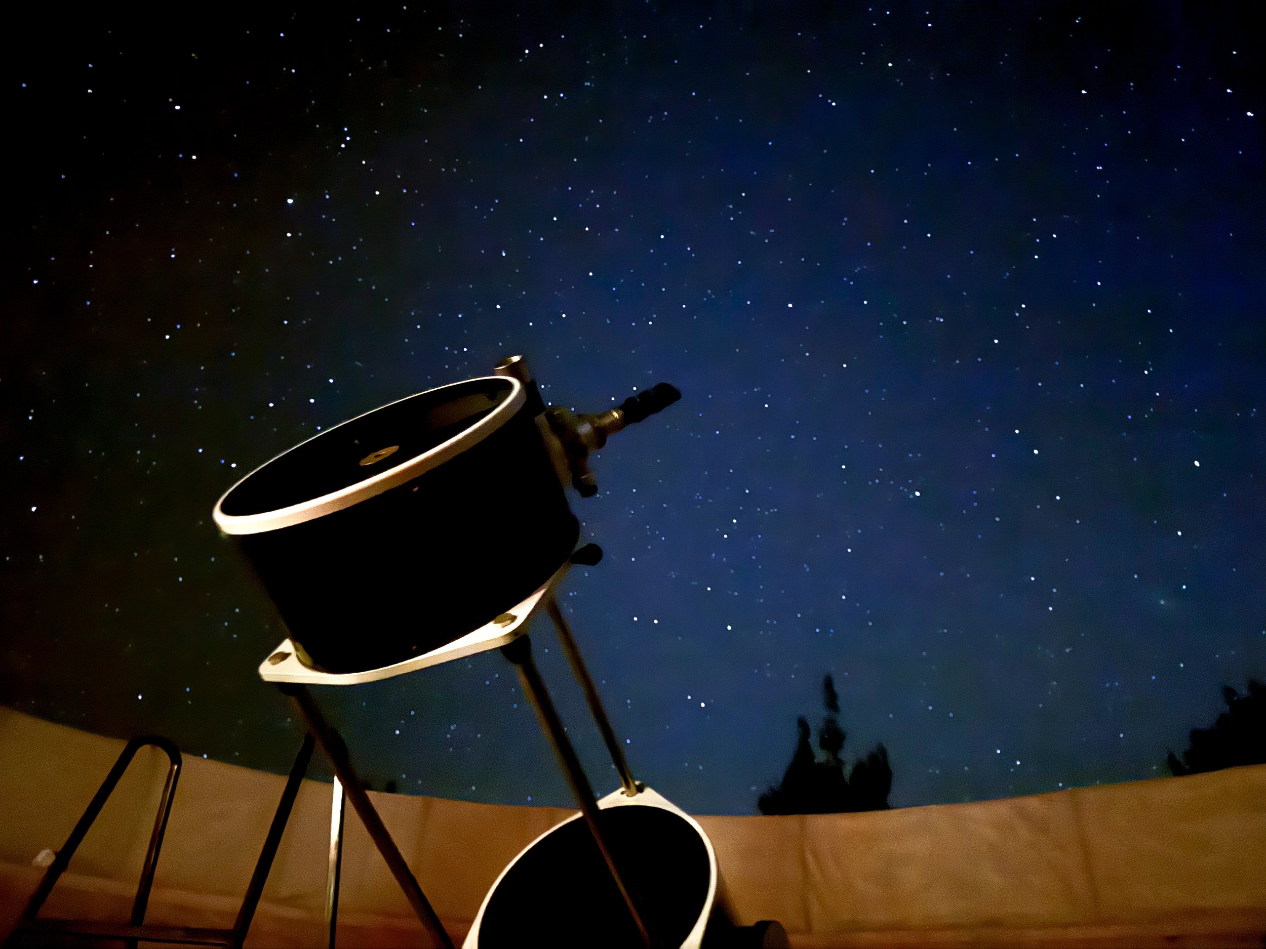
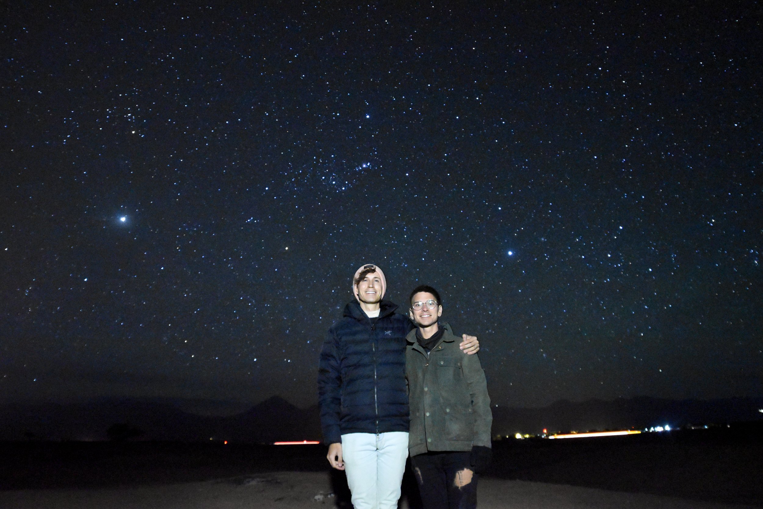
Stargazing Tour. The Atacama Desert is one of the world’s designated dark sky regions. We took a stargazing tour and got to see meteors streaking across the sky, satellites orbiting and an incredible array of celestial objects!
Through three telescopes, the astronomers pointed out two nebula including the cloudy mass of the Orion Nebula and the cosmic veins of the Tarantula Nebula. We observed the blue star cluster of The Pleades and a globular cluster with over 6 million stars held together by a supermassive black hole. We spotted the fuzzy disk of the Andromeda Galaxy and the bright blue star, Achernar. They showed us the planet of Saturn, its rings and 2 of its moons as well as Jupiter and 3 of its moons. We ended the night with wine and photos under the dark sky.
Good to Know: Though the Atacama is a dark sky region, the conditions also need to be right. It’s best to stargaze when the moon is not visible. The light pollution is lesser the further away from San Pedro de Atacama.
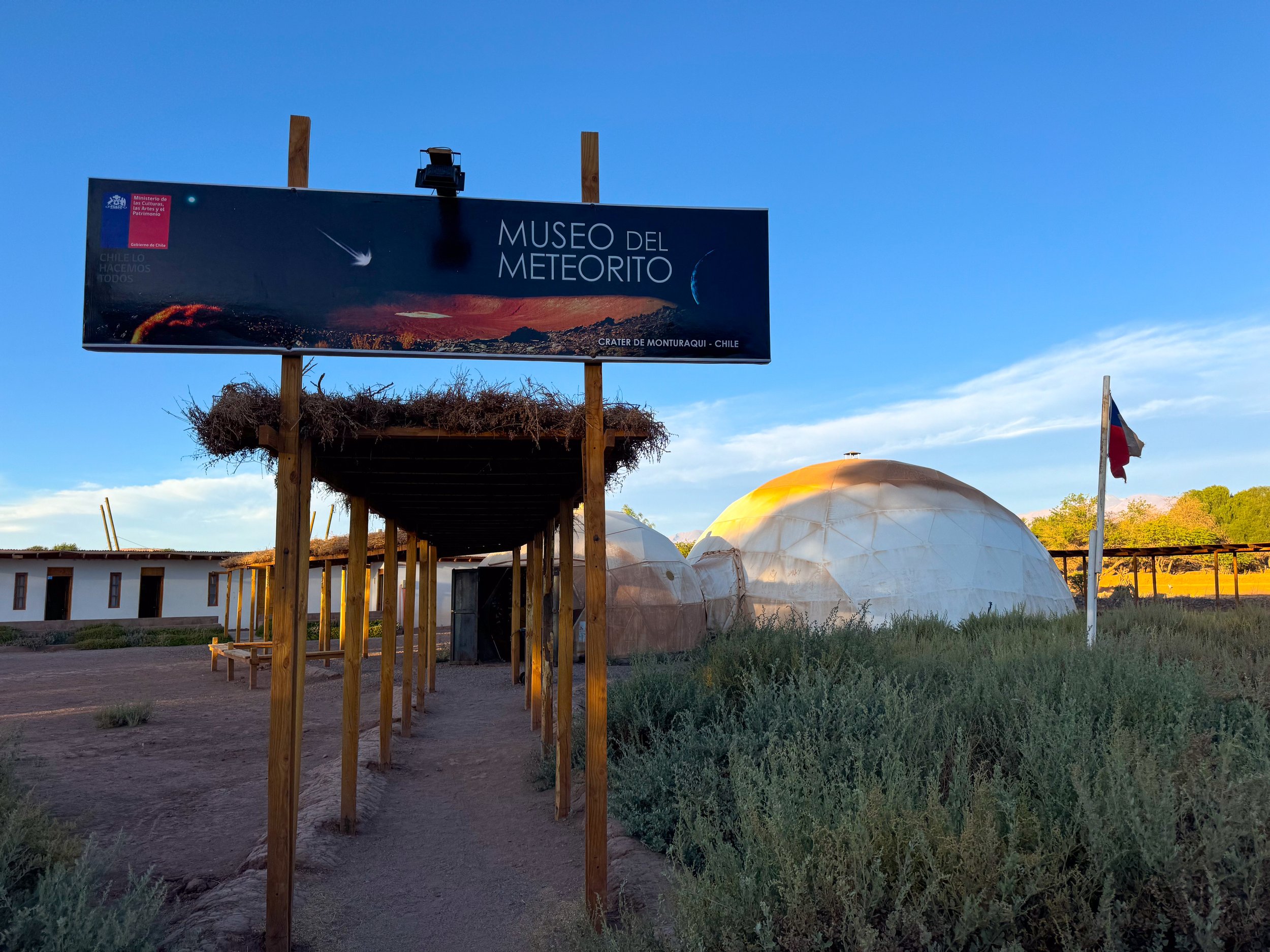
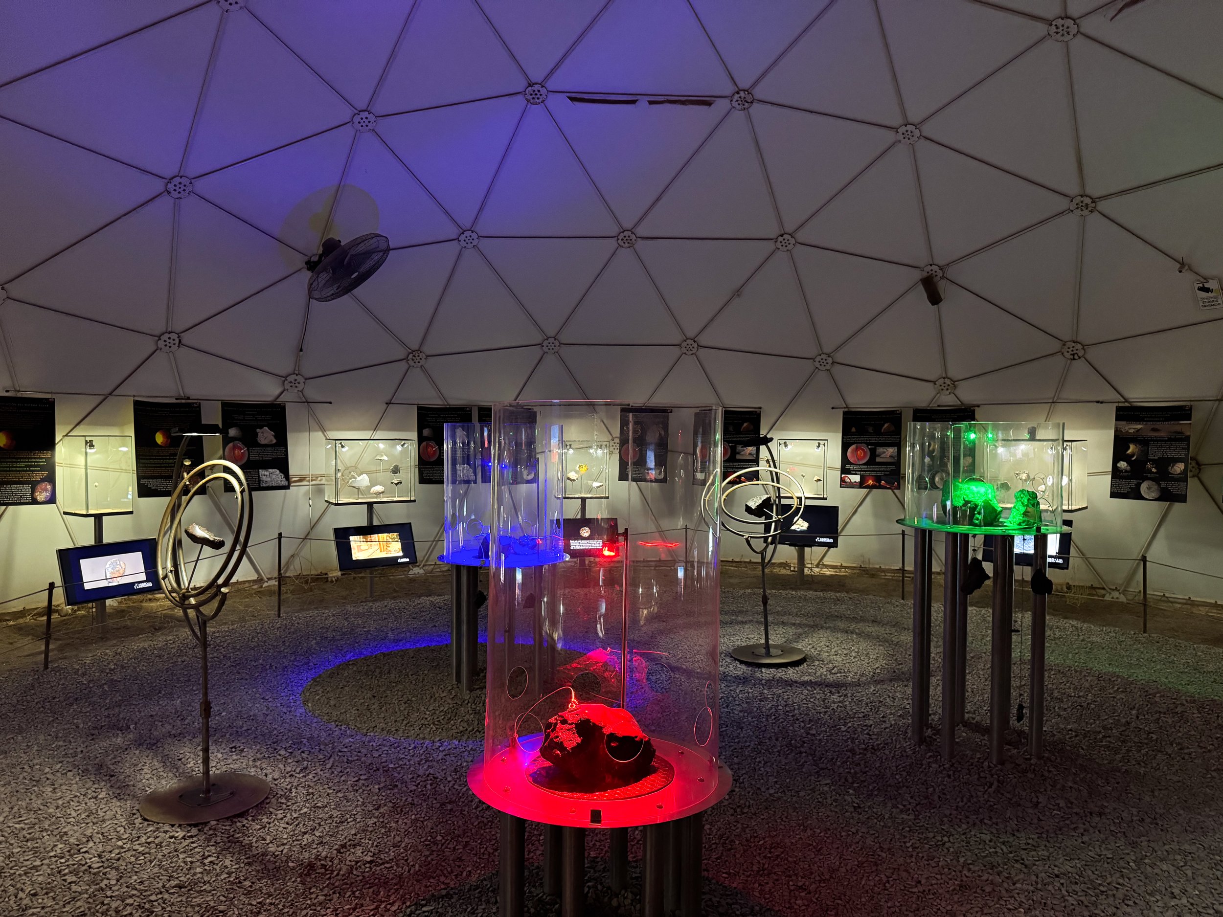
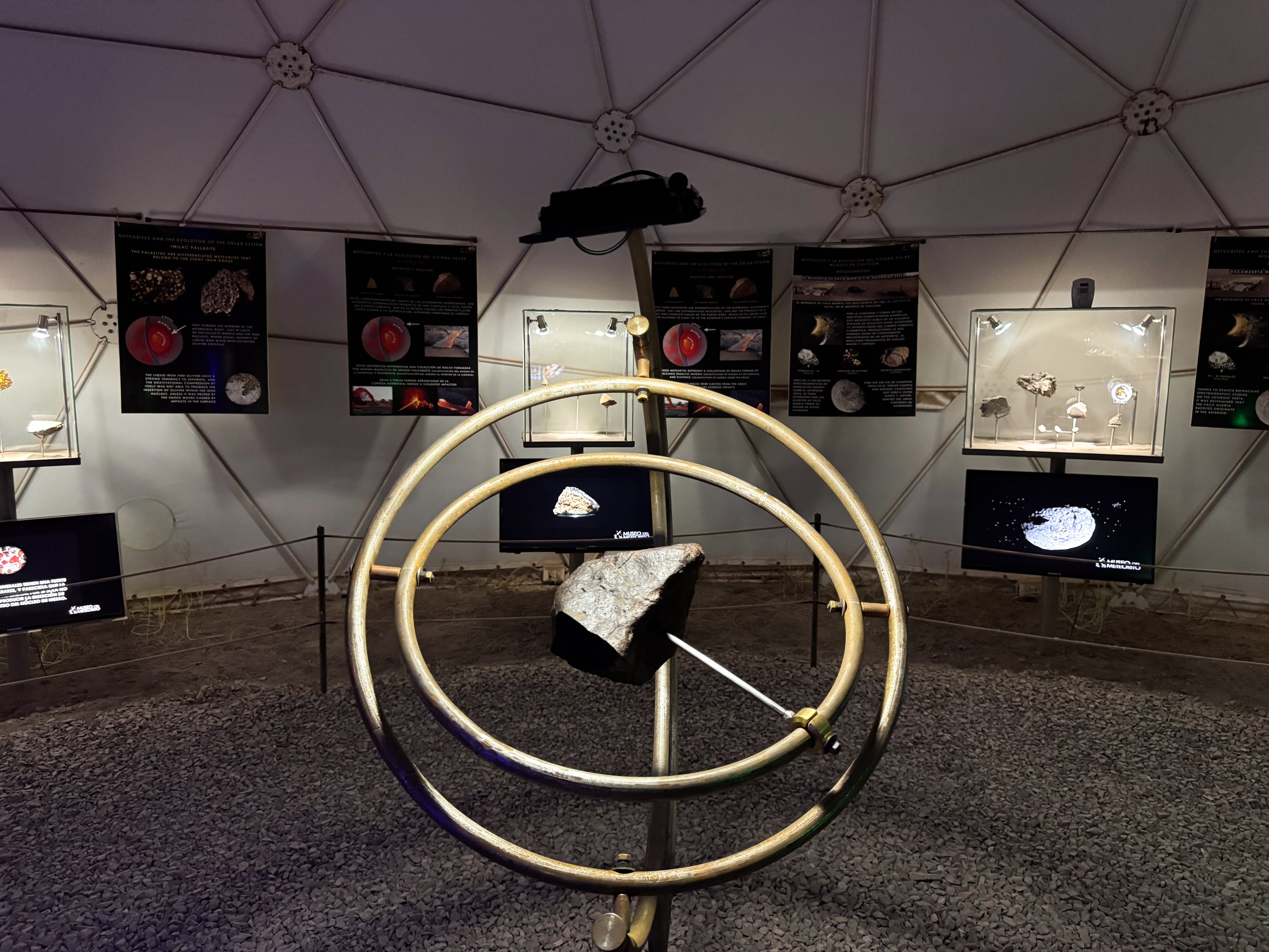
Meteorite Museum. A museum in a geodesic dome housing a collection of meteorites, many of which are from the Chilean Atacama Desert. The guided audio tour explains the types of meteorites and their importance in building the inner planets of our solar system. Some are available to touch and there is even a small display case with slices of of Chilean meteorites for sale ranging in price from $10 to $200
Tour Companies
Dozens of tour companies operate along Calle Caracoles offering excursions throughout the Atacama. We booked our tours with multiple companies in person, on Viator and through Get Your Guide. Most tours offer pick up and include a table spread of food and beverages. Here are the tours we booked:
Where to Eat & Drink
Adobe. A beautiful restaurant with an outdoor patio surrounded by adobe brick walls and shaded by a thatched awning. We dined here at lunch while listening to live music and sipping on spiced Pisco Sours. To eat, we ordered traditional Chilean seafood dishes including the Southern Hake and Camarones al Pil Pil.
La Casona. A popular restaurant with nightly musical performances and an outdoor fire pit. We sat in their outdoor patio, listening to live music, sipping on cocktails and eating vegetarian versions of traditional Chilean dishes like Chorrillana and Pastel de Choclo.
Helderia Babalu. An Ice cream and gelato shop serving a range of Chilean and inventive flavors. We came here three times, trying several flavors like: pineapple-mint, orange-ginger, prickly pear, quinoa lèche, lucuma (similar to passion fruit) and tres leches.
Emporio Andeno. A cafe and empanaderia with coffees and a list of over a dozen empanadas including vegetarian versions the Champiñón made with mushrooms, corn and cheese or the Vegano Verde made with mushrooms, spinach, corn salsa and vegan béchamel.
Karavan Restobar. A restaurant & bar with adobe booths & tables, live music, local dishes and fresh juices. We ordered a few afternoon snacks, Bolitas de Queso y Jalapeño and Sopaipillas with pico de gallo. For drinks, we sipped on fresh pressed lemonade rica rica and passion fruit juice.
La Picada Del Indio. A popular restaurant and bar. Come here for all day happy hour in their back patio, two cocktails for 8,000 Chilean pesos.
Charrua. A pizzeria with a range of thin crust pizzas. We ordered a classic margarita and quarto cheeses, each with rica rica seasoning. It was our first pizza in nearly 3 months and did not disappoint!
La Franchuteria. A bakery and cafe with a peaceful dining area in a lush outdoor patio surrounded by tiny chirping birds. Come here for their pasties, quiche and fresh breads, especially the baguettes sand baguette sandwiches!
El Barro. A beer garden style restaurant with a large shaded patio. Come here for their affordable pre-fix menus and generous portions. Try the ceviche, fried fish, daily desert and red sangria.
Chilean Cuisine
Chorrillana. A traditional Chilean dish made from French fries covered with meat or vegetables and topped with artichoke hearts and cherry tomatoes.
Pastel de Choclo. A Chilean version of shepard’s pie made with a mixture of sautéed vegetables and meat topped with a creamy corn pudding and broiled.
Pil Pil. A traditional style Chilean dish made from meat, seafood or mushrooms cooked in a spicy and savory sauce flavored with garlic and chili cacho de cabra. It’s typically served with papas doradas.
Sopaipillas. Fried flat breads served with a sweet or savory topping like jams, salsa or ceviche. It’s often served as a snack or appetizer.
Bolitas de Queso. Deep fried balls of cream cheese. It’s often served as a snack or appetizer.
Fresh Juice. Freshly pressed fruit, herb and veggie juice blends are incredibly popular across the town with dedicated juice bars and menus dedicated to juices as restaurants.
Rica Rica. A popular herb used in many dishes that tastes and smells similar to oregano.
Olives. Olives and olive oil are typical ingredients in many dishes. Most restaurants even serve olive oil table side with meals.
Wine. Chile has several grape growing regions used to make wine. Malbecs & Merlots are the most common.
Where to Stay
Desert Eco Dome. We stayed in an eco dome outside of the city center that we found on Airbnb. The white domed structure houses a kitchen, living room and lofted bedroom. The desert property has an adobe house, outdoor hammocks and shaded lounge areas. Book here!
Getting Around
On Foot. The town of San Pedro de Atacama is easily walkable. Everything is within 1km of the main street, Calle Caracoles.
By Bike. Several companies around the city center rent bikes by the day. This is a great option to visit sights in the outskirts of the city without a tour.
By Tour. The most efficient way to visit sights across the region is by tour. Tours offer pick up from accommodations, via a sprinter van and return to the city center.
Airport Transfer. Most flights in and out of San Pedro de Atacama leave from the town of Calama 1 hour 30 minutes away. We booked a transfer with Ruta Chile. Book here!
Good to Know
Drinking Water. Tap water to generally not safe to consume in San Pedro de Atacama. It’s best to drink filtered or bottled water.
Toilets. Like most places in South America, signs advise people not to flush toilet paper due to risk of clogging the plumbing.
Cash vs Card. Many businesses accept credit card but cash is often preferred.
Exchanging Cash. If exchanging US dollars for Chilean Pesos, make sure the bill is in perfect condition (no minor tears or makings) or it will not be accepted.
Language. Spanish is the dominant language however English and Portuguese are commonly spoken.
LGBTQ+ Safety. San Pedro de Atacama is very friendly to and accepting of queer travelers and locals.
Mendoza, Argentina
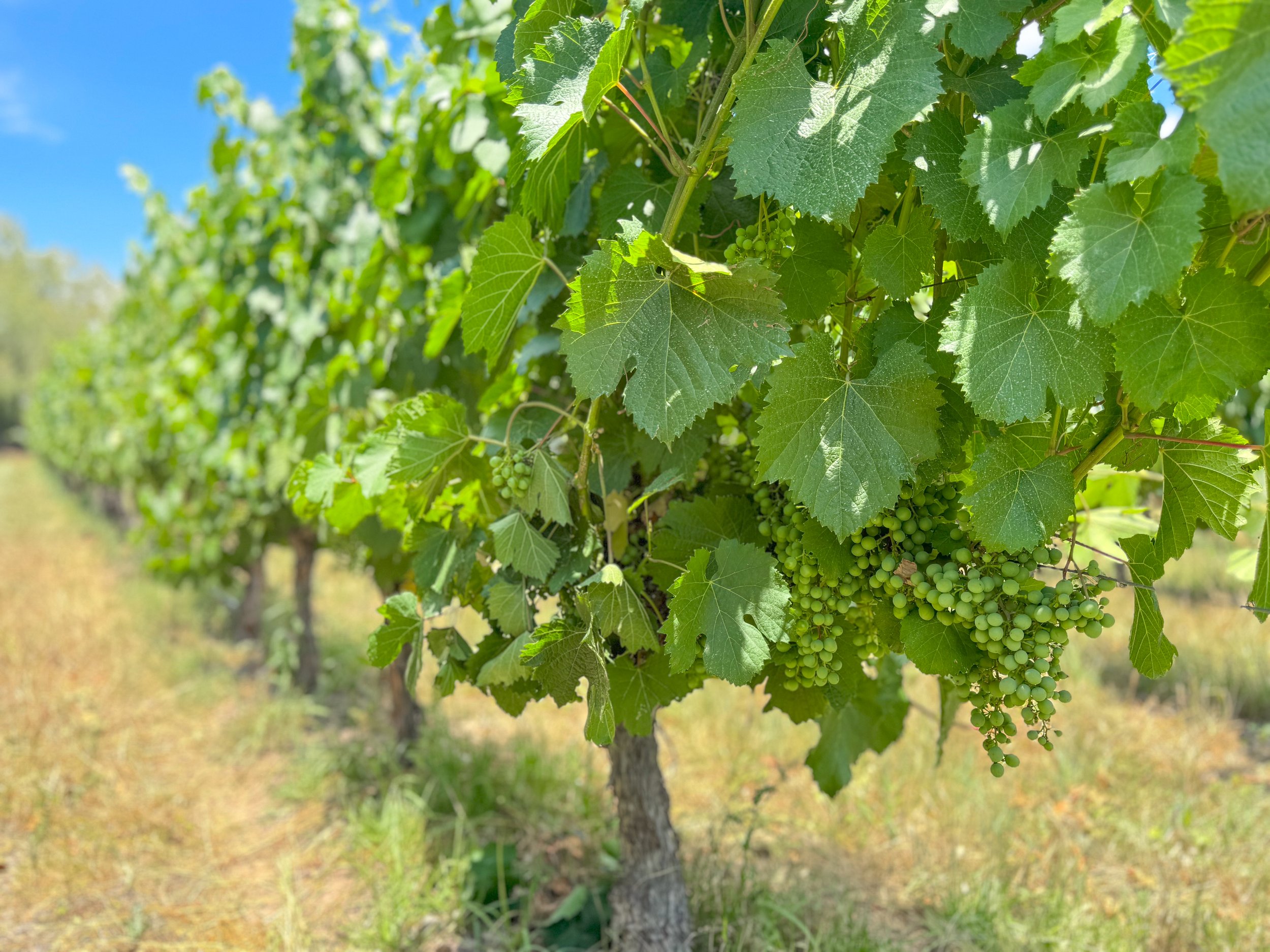
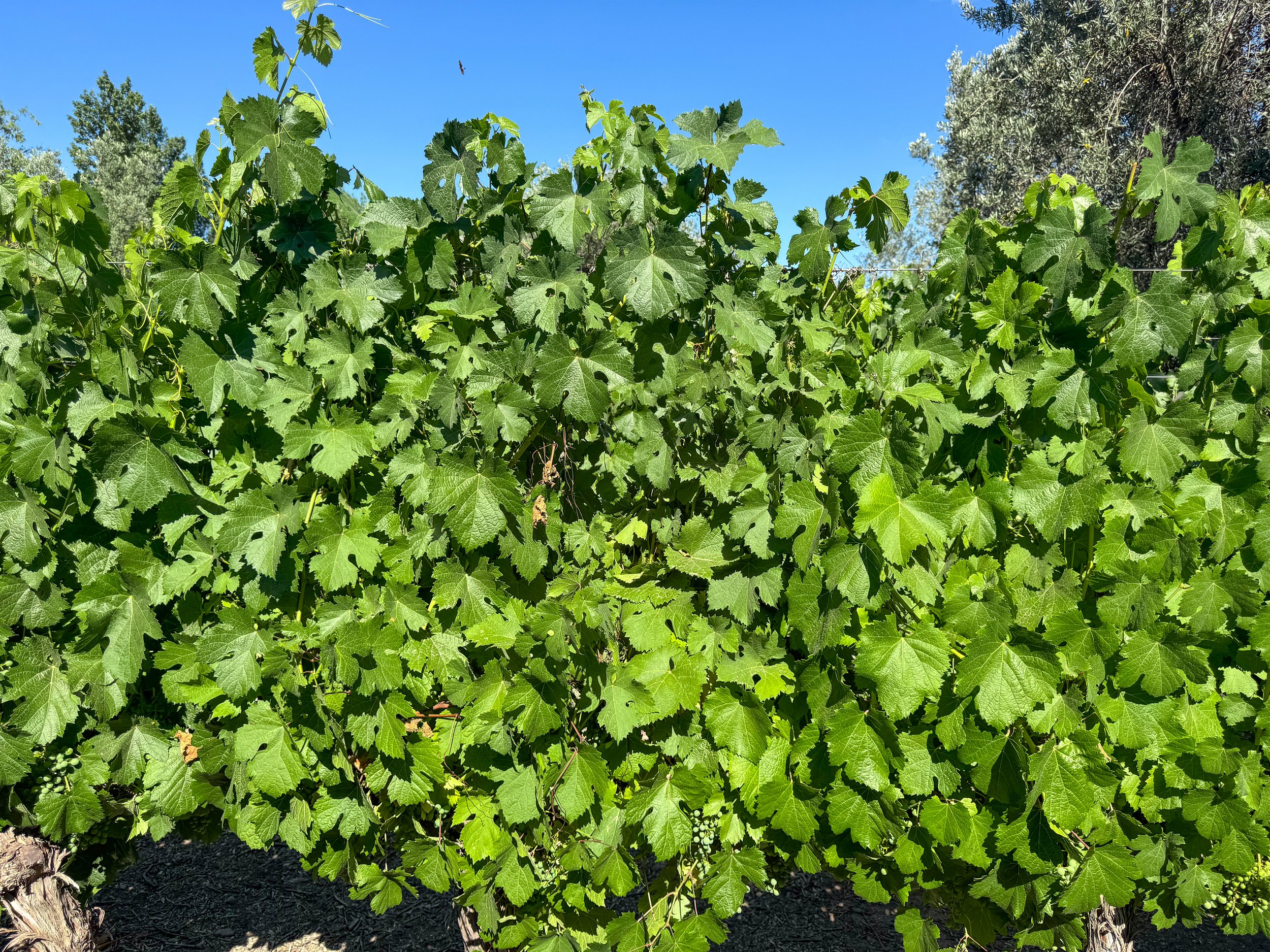
Mendoza is wine country! Here, hundreds of vineyards and countless rows of grape vines blanket the landscape beneath the backdrop of the Andes Mountains.
Wine Country
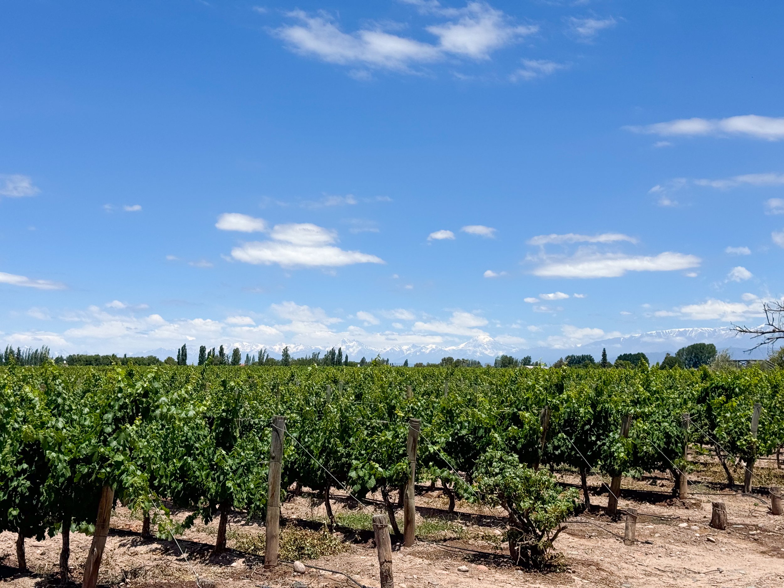
Mendoza is wine country! Here, hundreds of vineyards and countless rows of grape vines blanket the landscape beneath the backdrop of the Andes Mountains. The most notable wines of the many produced across the region are Malbecs and Cabernet Franc.
Wine Tour by Bicycle
There are multiple wine producing regions in Mendoza known for different varieties of grapes and wines. We visited the Maipu and Lujan de Cayo valleys on a self guided bike tours. Both valleys have a range of vineyards in close proximity to each other making it easy to visit multiple in one day. It’s also the most affordable way to visit the vineyards.
Maipu Bikes. A bike rental company in the center of the Maipu Valley with daily bike rentals, route suggestions, a map and vineyard discounts. They’re open from 10am-6pm with a free happy hour between 5-6pm. The cost is $10 ARS in cash only.
Baccus Wine Tours. A bike rental company in the Lujan de Cayo Valley with daily bike rentals, route suggestions and a map. They’re open from 10am-6pm daily. The cost is $15 ARS in cash only.
Good to Know
It’s best to start between 10-11am and plan out a route to maximize time.
If planning to visit any specific wineries, confirm hours and the need for a reservation before arriving.
Plan to visit anywhere from 2-5 vineyards depending on pace.
Order a meal for lunch or pairings throughout the day.
Bring water to stay hydrated!
Wear sunblock, Mendoza is technically a desert and the UV often reaches extreme levels.
The Maipu Valley
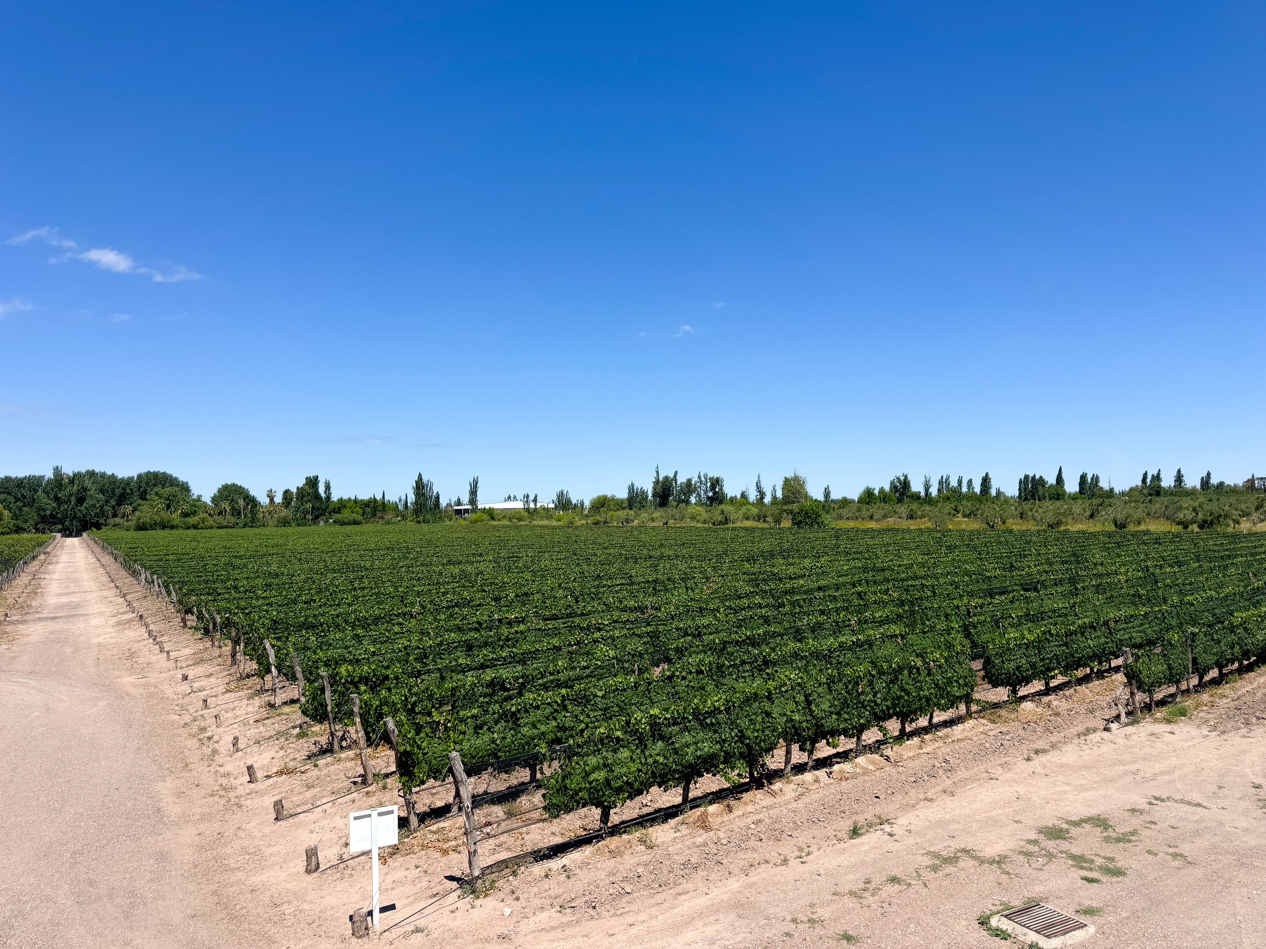
A slightly industrial wine producing valley southeast of Mendoza with many large scale and boutique vineyards. Roadside bike paths follow the main road and branch off onto dirt roads leading to most vineyards. We visited 4 vineyards and an olive oil store during our tour.
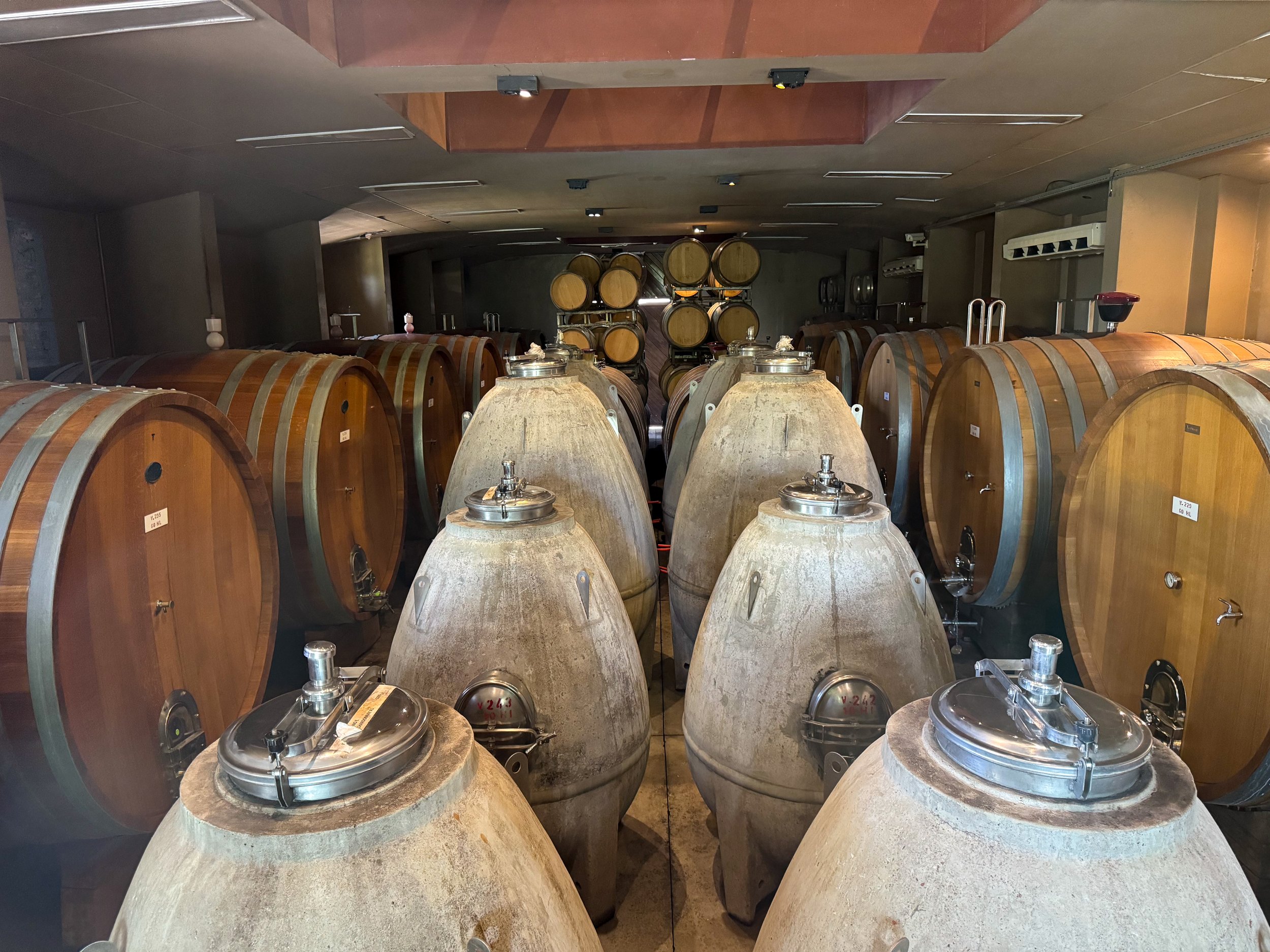
Bodega Trapiche. A grand and historic vineyard with tours, tastings and opportunities to learn about the winemaking process. Our tour started with a stroll through the vineyard with a glass on small batch white wine only served onsite. We transited to a Malbec as we entered a warehouse with massive concrete tanks used to store thousands of liters of wine. The next building housed aerobatic oak barrels and concrete eggs of aging wine. We ended our tour in their tasting room with views of the andes, sampling two more Malbecs, both grand reserves. The vineyard is bike friendly, it’s pricer to visit and reservations are required.
Entre Olivos. A small shop with tastings of locally produced olive oils, olive pates and wine. We stopped here in route to the next vineyard and bought a bottle of oil to bake focaccia.
Viña el Cerno. A small vineyard with a tasting room in there processing warehouse. We didn’t learn much about the vineyard or their wines but got to sample three different types, a sweet rosé, Cabernet Franc and Merlot. The vineyard is bike friendly and no reservations are needed.
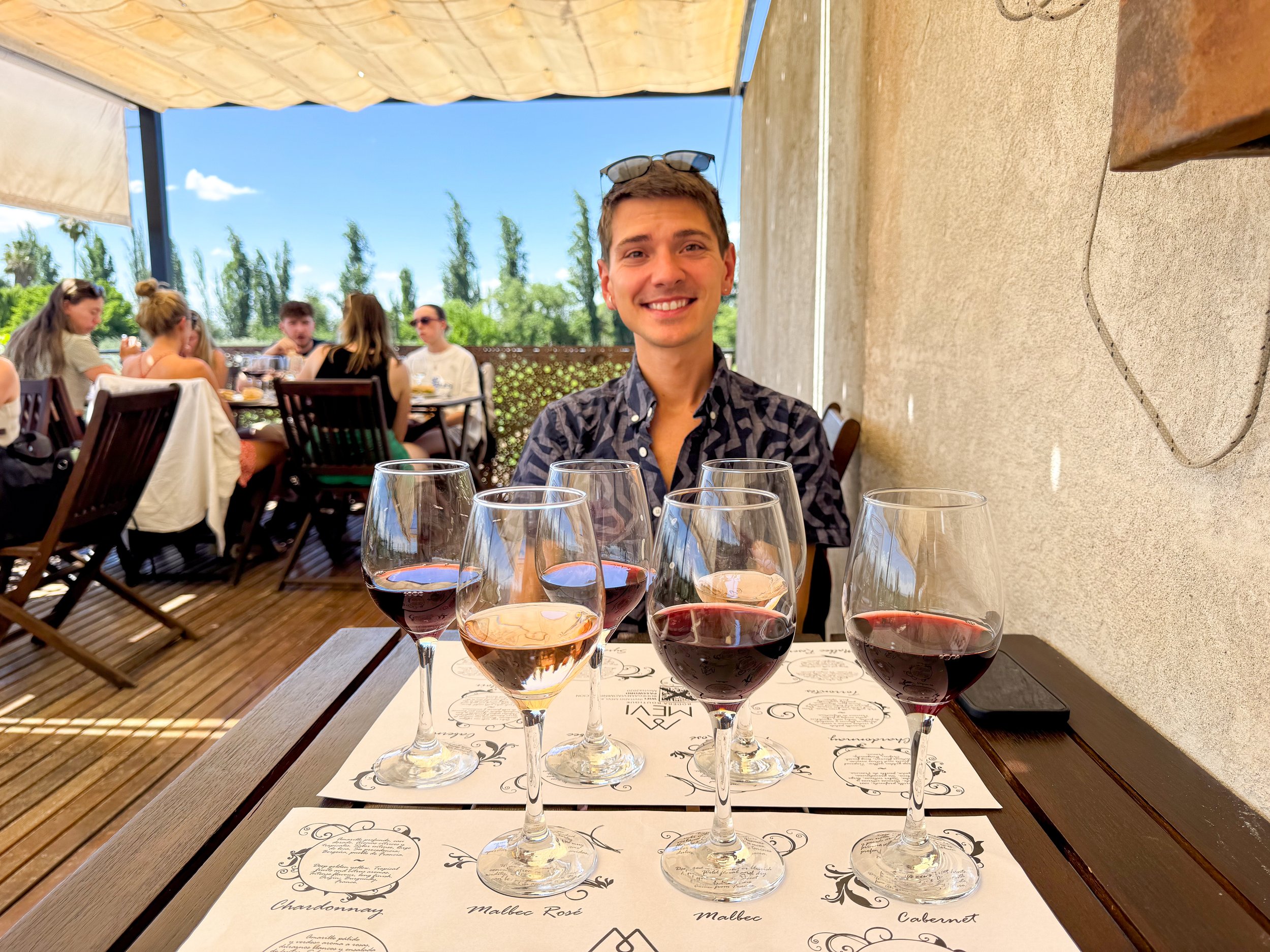
Bodega MEVI. A vineyard with a restaurant and tasting room overlooking their rows of grapes vines, olive trees and the snow covered Andes. We didn’t learn much about the wines but enjoyed the view while drinking them. We sampled three types, a dry rosé, Cabernet Franc and Merlot. The vineyard is bike friendly and no reservations are needed.
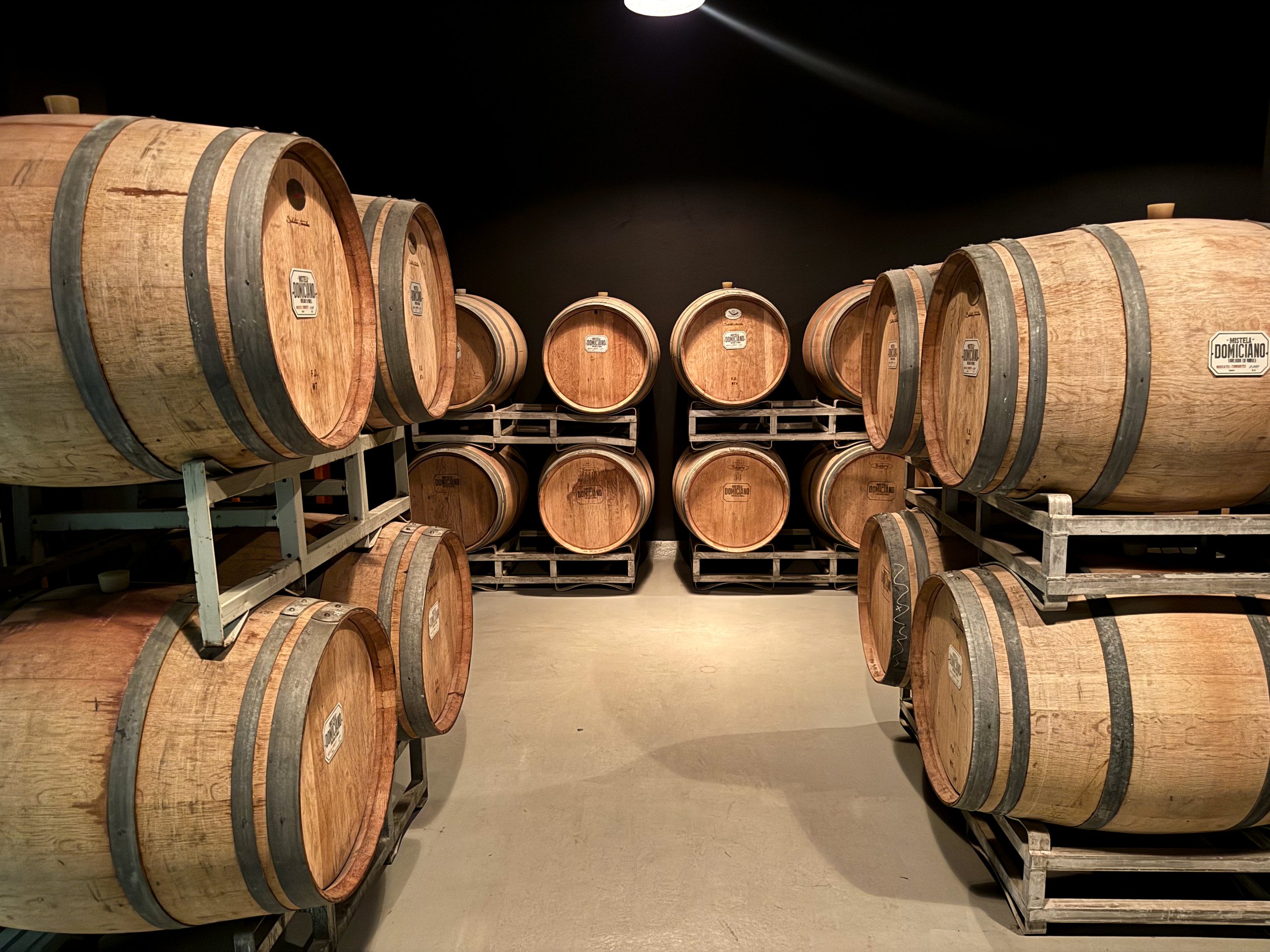
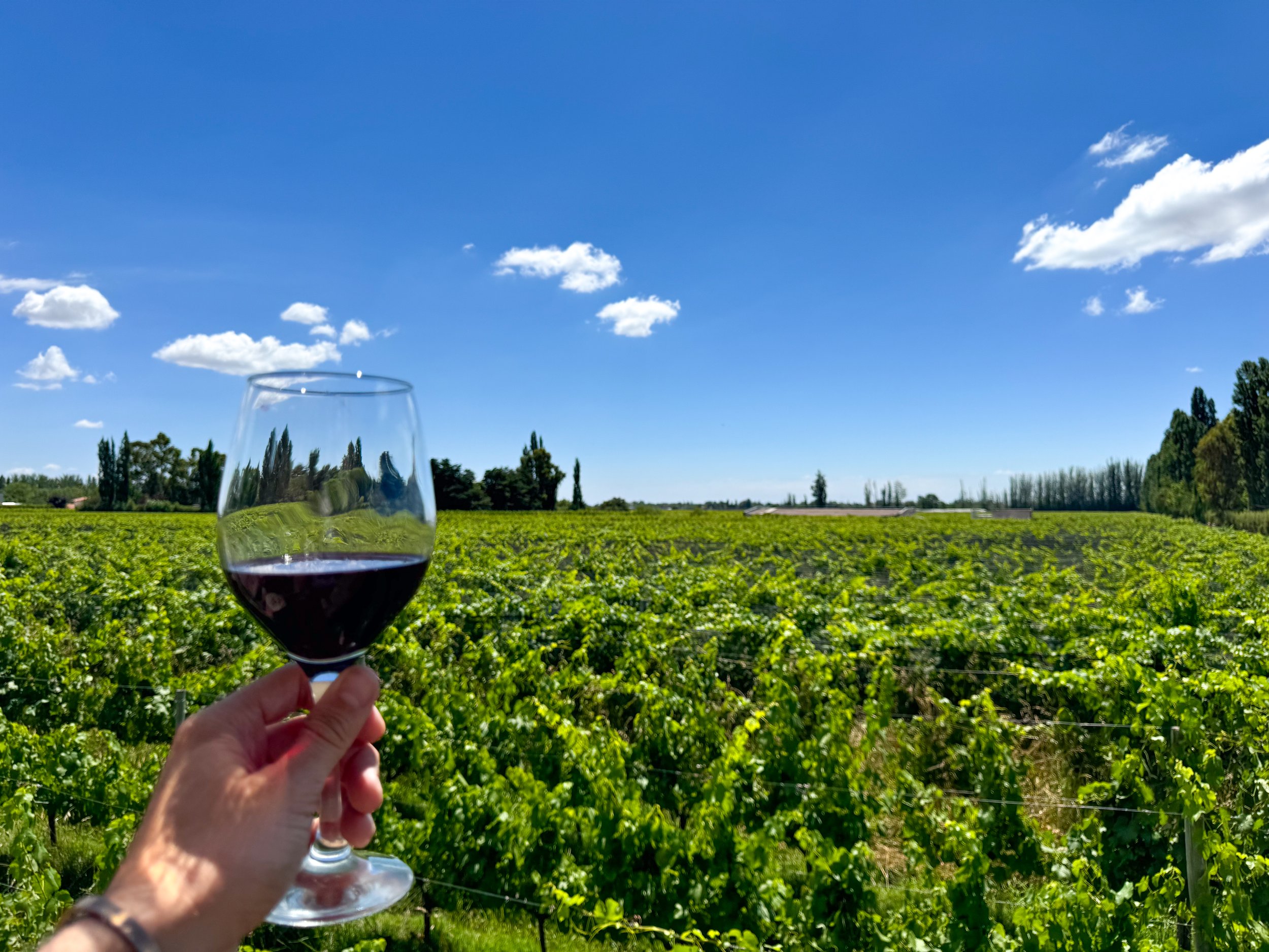
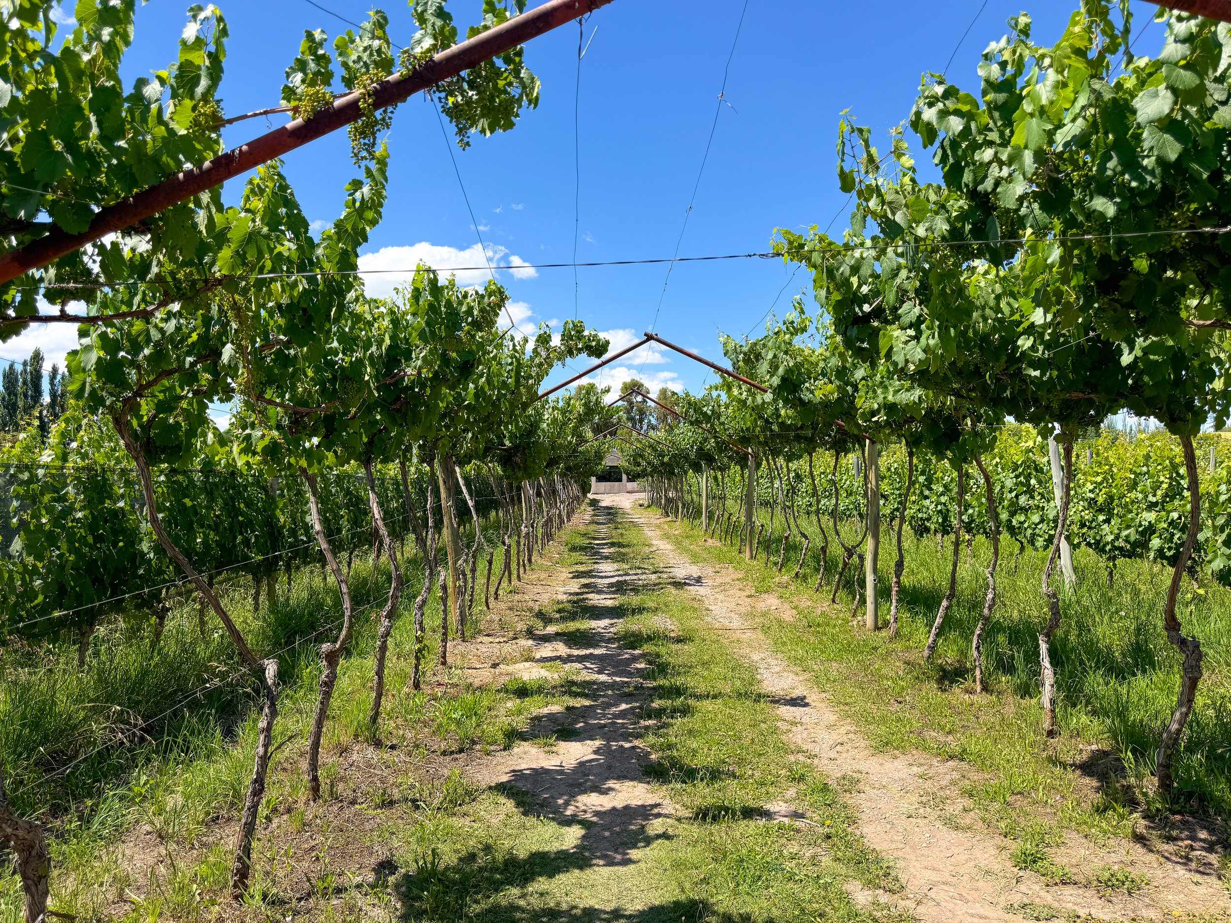
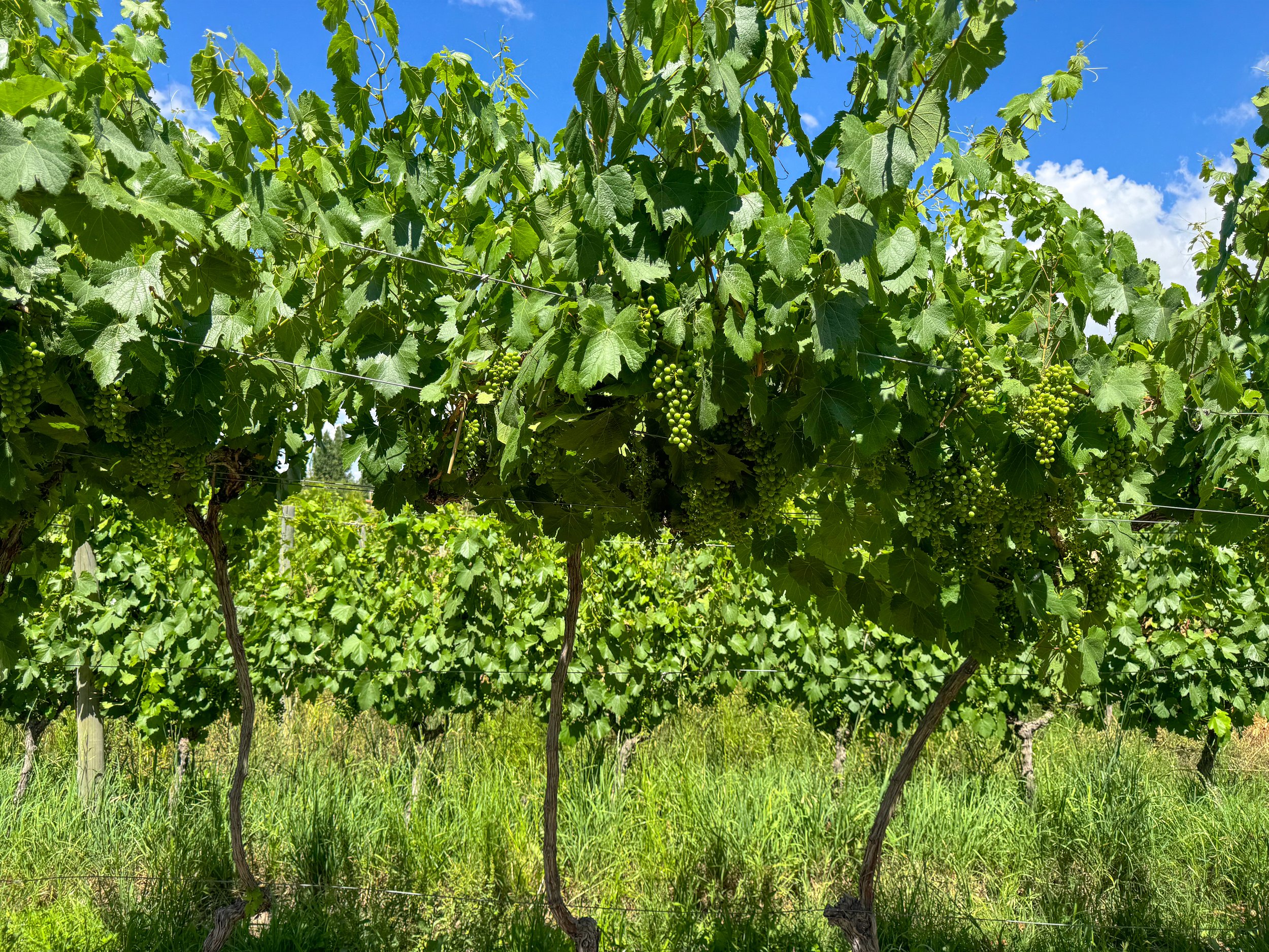
Bodega Domiciano. A winery with a small show vineyard at their production facility. We toured the vineyard with rows of Sarah, Merlot and Cabernet grapes, getting to learn about the vines themselves. Inside their warehouse, we walked past large concrete tanks used to store thousands of liters of wine then to their cellar with oak barrels and bottles of aging reserves. Our tour ended in their tasting room where we sipped on a Sparking Brut, Malbec and Syrah. The vineyard is bike friendly, no reservations are needed however tours happen at set times throughout the day.
Lujan de Cuyo
A beautiful valley with grand vineyards, country homes and views of the Andes located south of Mendoza. It has defined and well maintained sidewalk style bike paths that lead directly to most vineyards. We had a lazy day, only visiting two vineyard while enjoying the scenery and wines.
Bodega Gieco. A rustic vineyard with a tasting room, provisions shop, bakery and range outdoor seating areas. We tasted three wines: Malbec, Cabernet Franc and Tannat. We enjoyed our first glass on their elevated deck overlooking the rows of grape vines in vineyard with a house baked vegan ciabatta sandwich. We sipped on the second two in their patios covered with fruiting apricot trees. The vineyard is bike friendly and no reservation is needed.
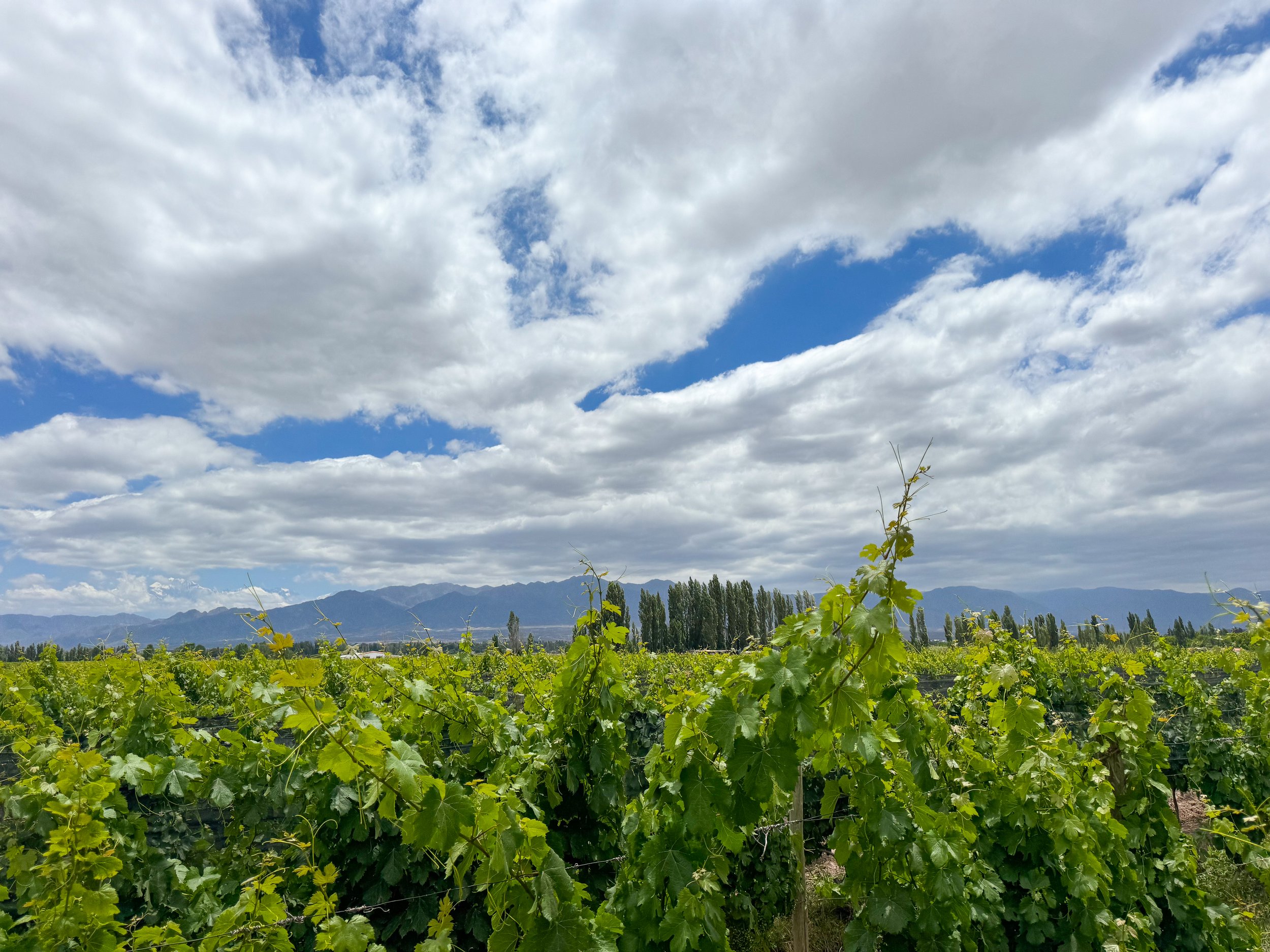
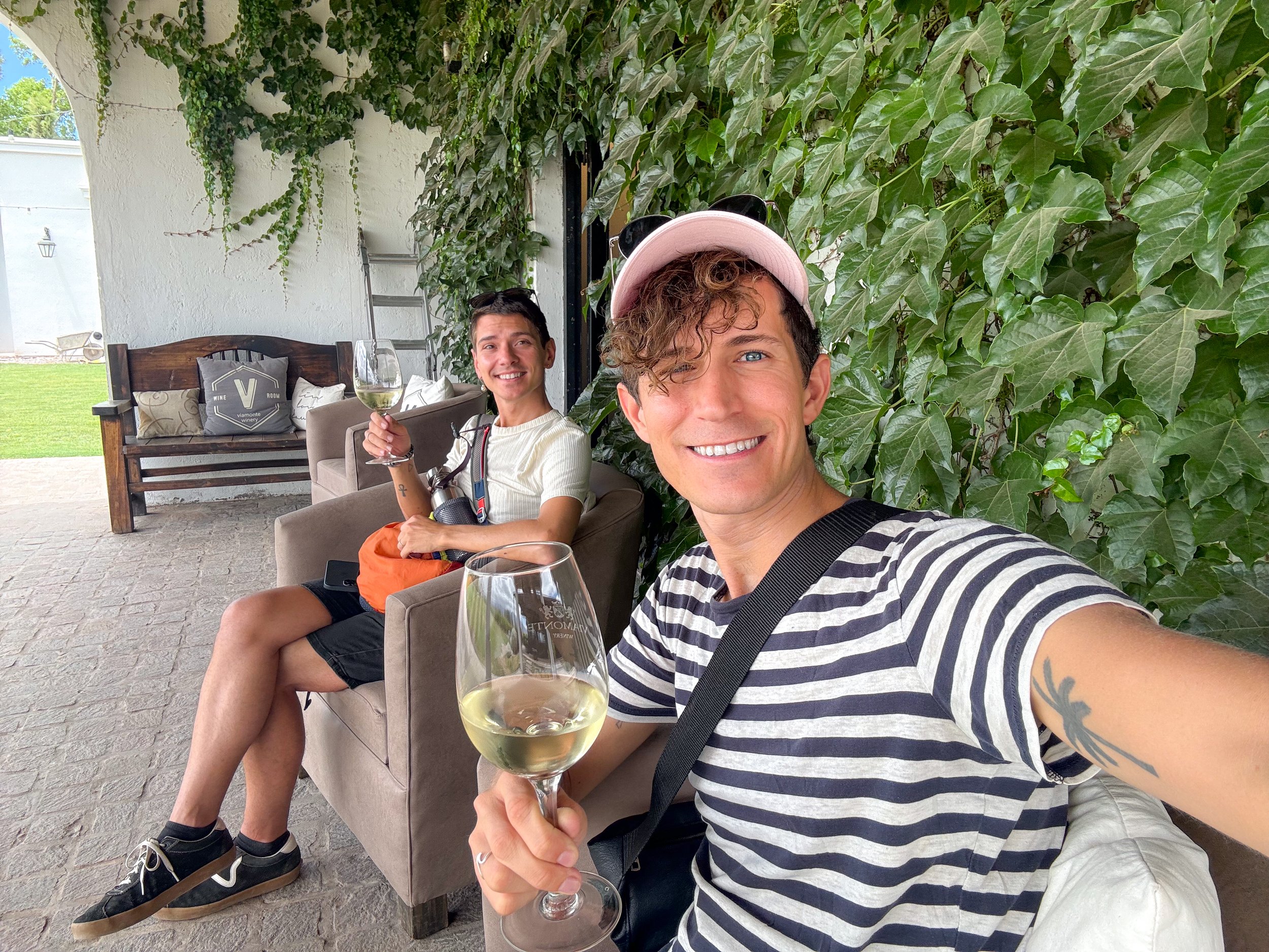
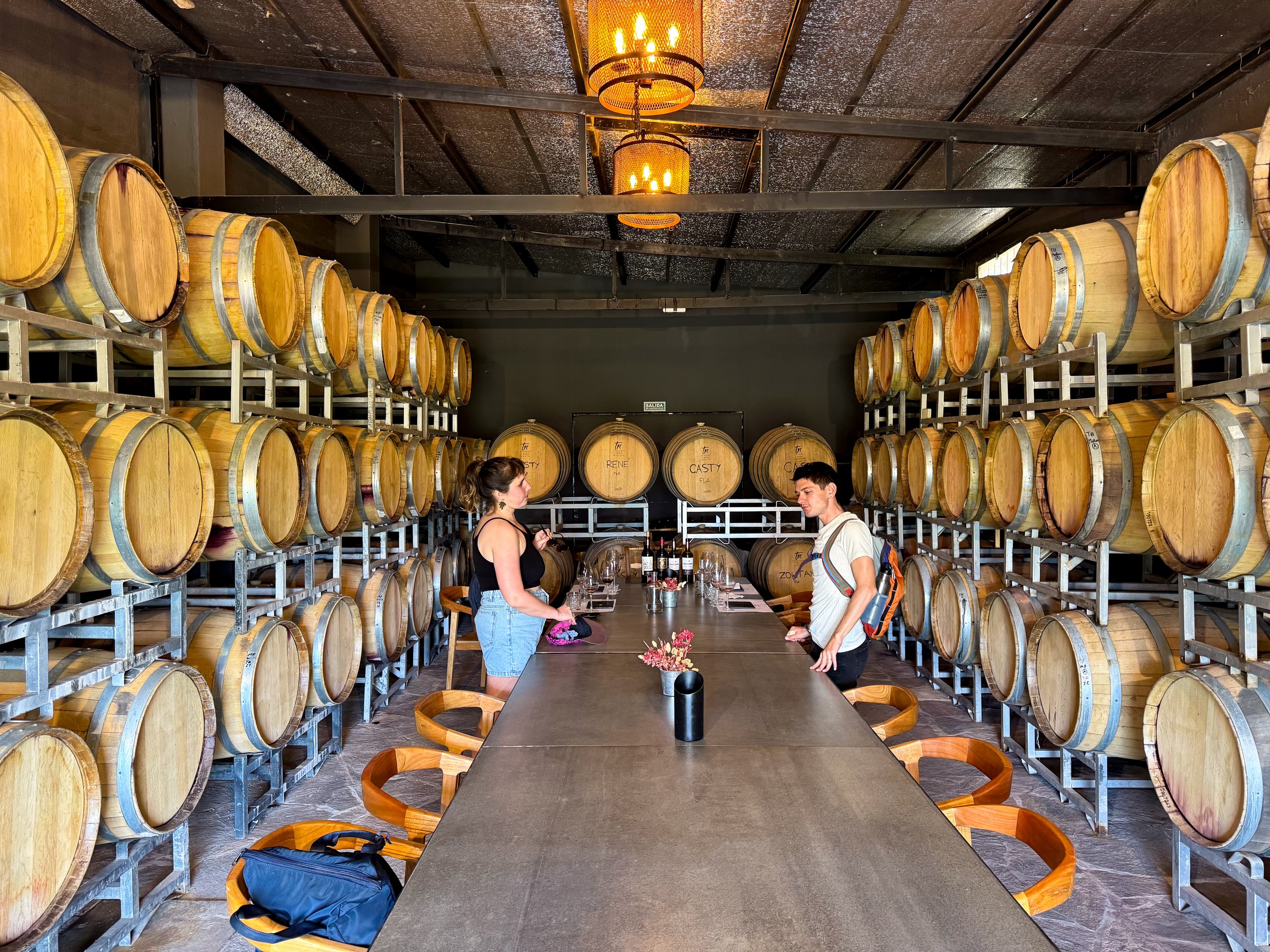
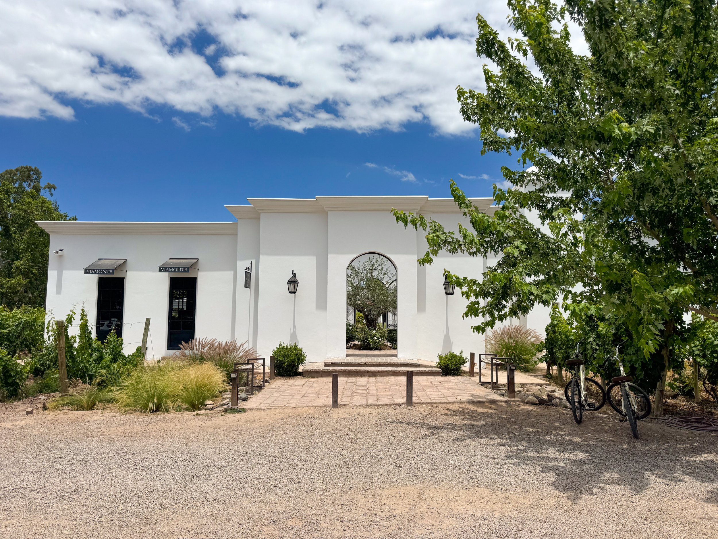
Bodega Viamonte. A very elegant vineyard with seemingly endless rows of grape vines and views of the snow covered Andes. We arrived early and ordered a glass of rosé paired with a chocolate moose pastry. The tour began with a glass of their house white, a walk through the vineyard and white brick processing facilities. We ended in their tasting room surrounded by oak barrels of aging wines. Our tasting included four Malbecs, two entry level, one reserve and grand reserve paired with a chocolate tart, tomato moose cracker and blue cheese. The vineyard is bike friendly and reservations are required.
City Winery
Bodega Las Toneles. A massive winery in the city with historic buildings housing giant concrete containers, steel tanks and stacked oak barrels of aging wine. We tasted a Merlot directly from a stainless steel tank and sampled glasses of Pinot Noir, Rosé, Sauvignon Blanc and two Malbecs. The most exciting part of the tour is the extravagant underground wine vault with painted mermaids swimming in tanks of wine. The winery has a pastel colored cafe, a Michelin stared restaurant and event venue.
Central Mendoza
The city center of Mendoza is a hub for cuisine and wine with restaurant lined streets, tree covered promenades, empanaderas, produce markets and daily happy hours.
Calle Arístides Villanueva. A tree covered street with many restaurants, bars, cafes and breweries popular with both locals and tourists, especially after 8pm. Come here to dine at one of the street patios or high-end restaurants.
Peatonal Sarmiento. A tree covered pedestrian street with cafes, wine shops, restaurants and shopping.
Mercado Central. A historic market with vendors selling wine, olives, bread, meats, cheese, seafood, empanadas, alfajores and produce.
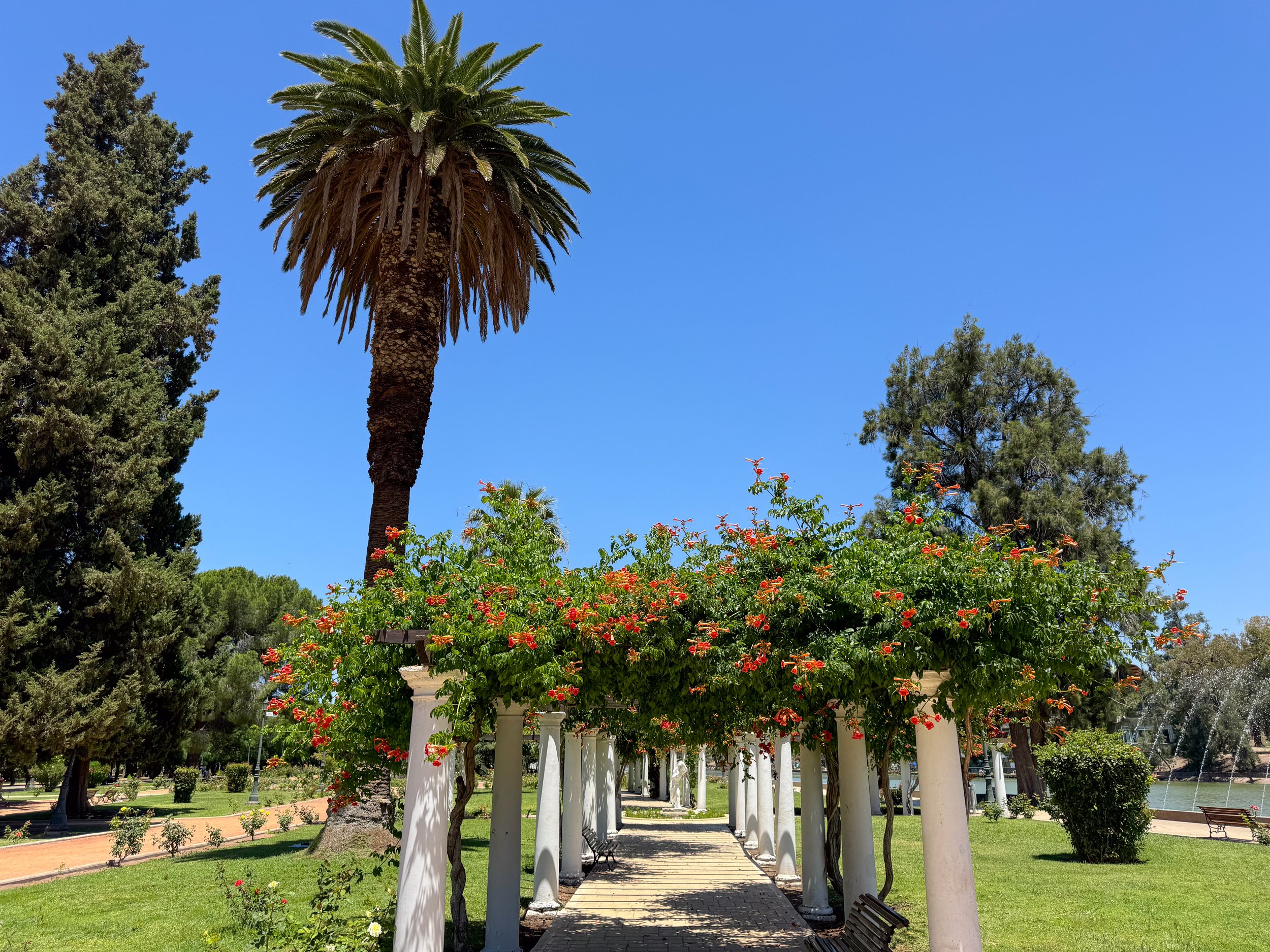
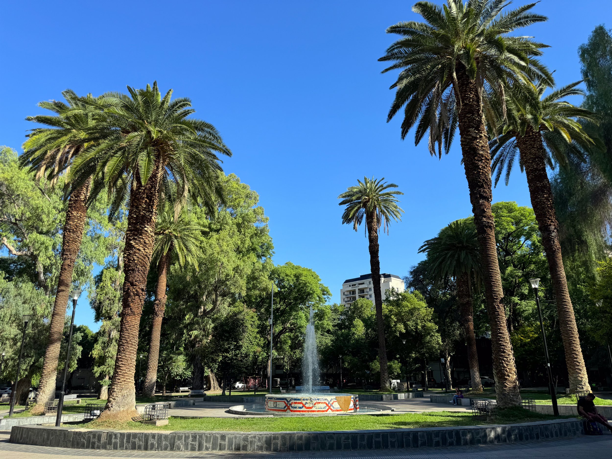
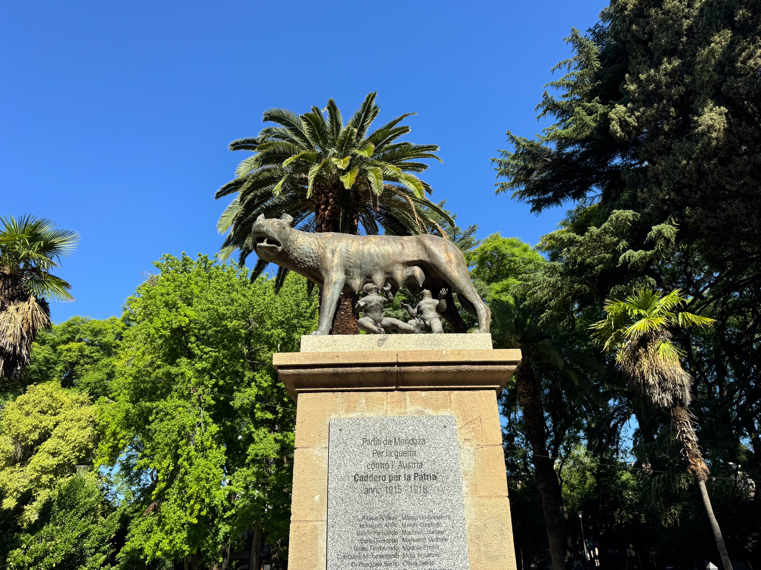
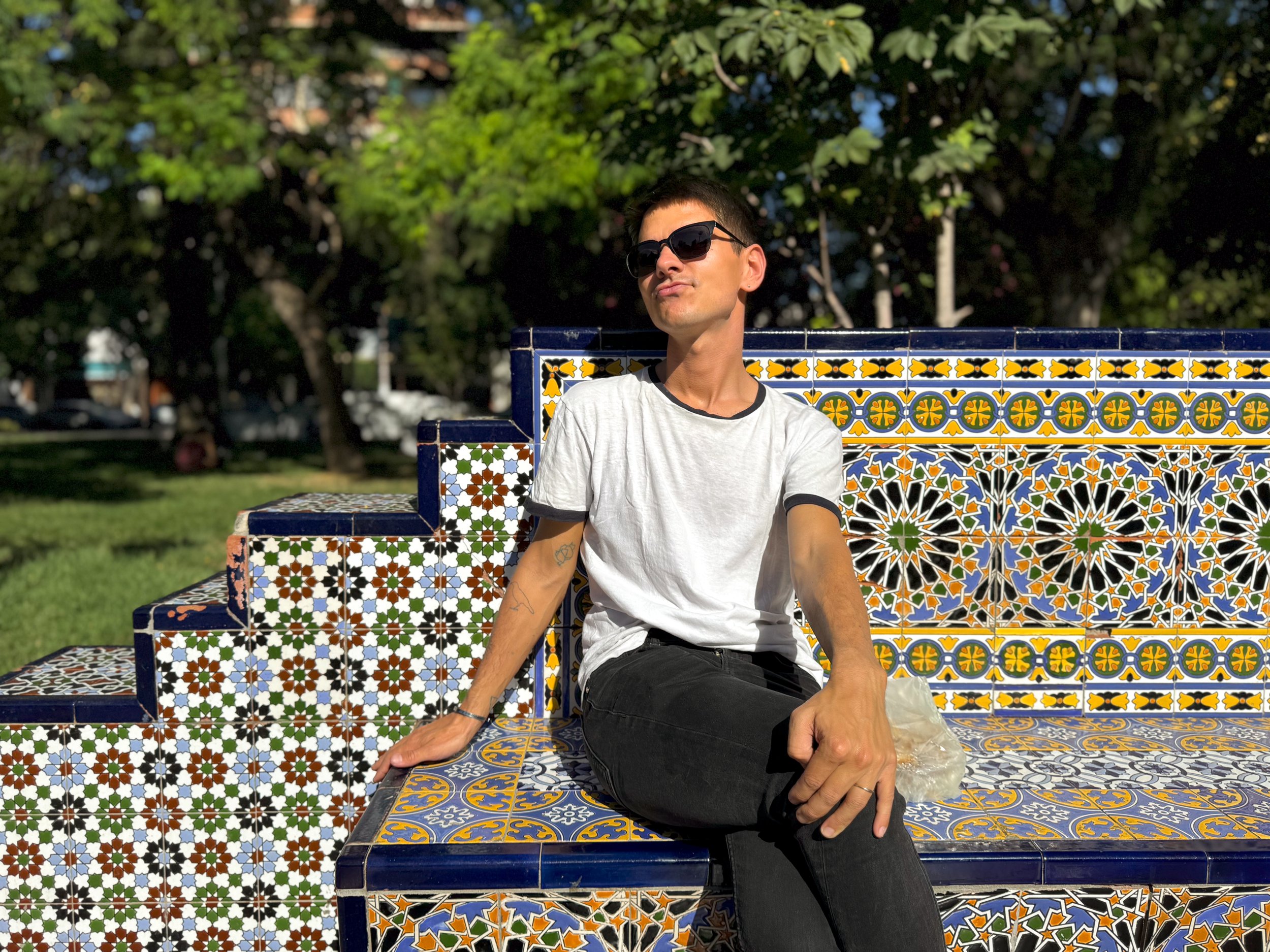
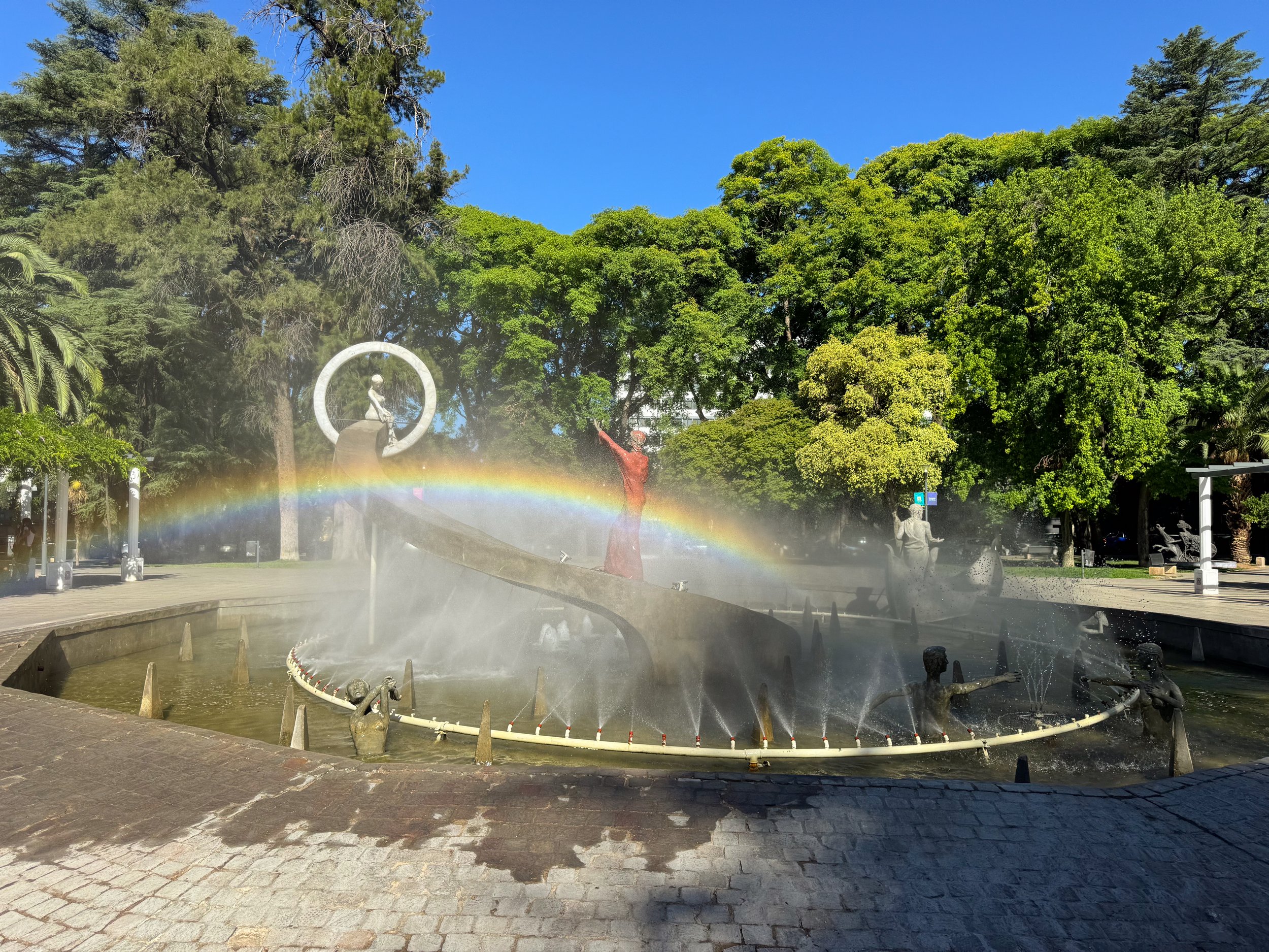
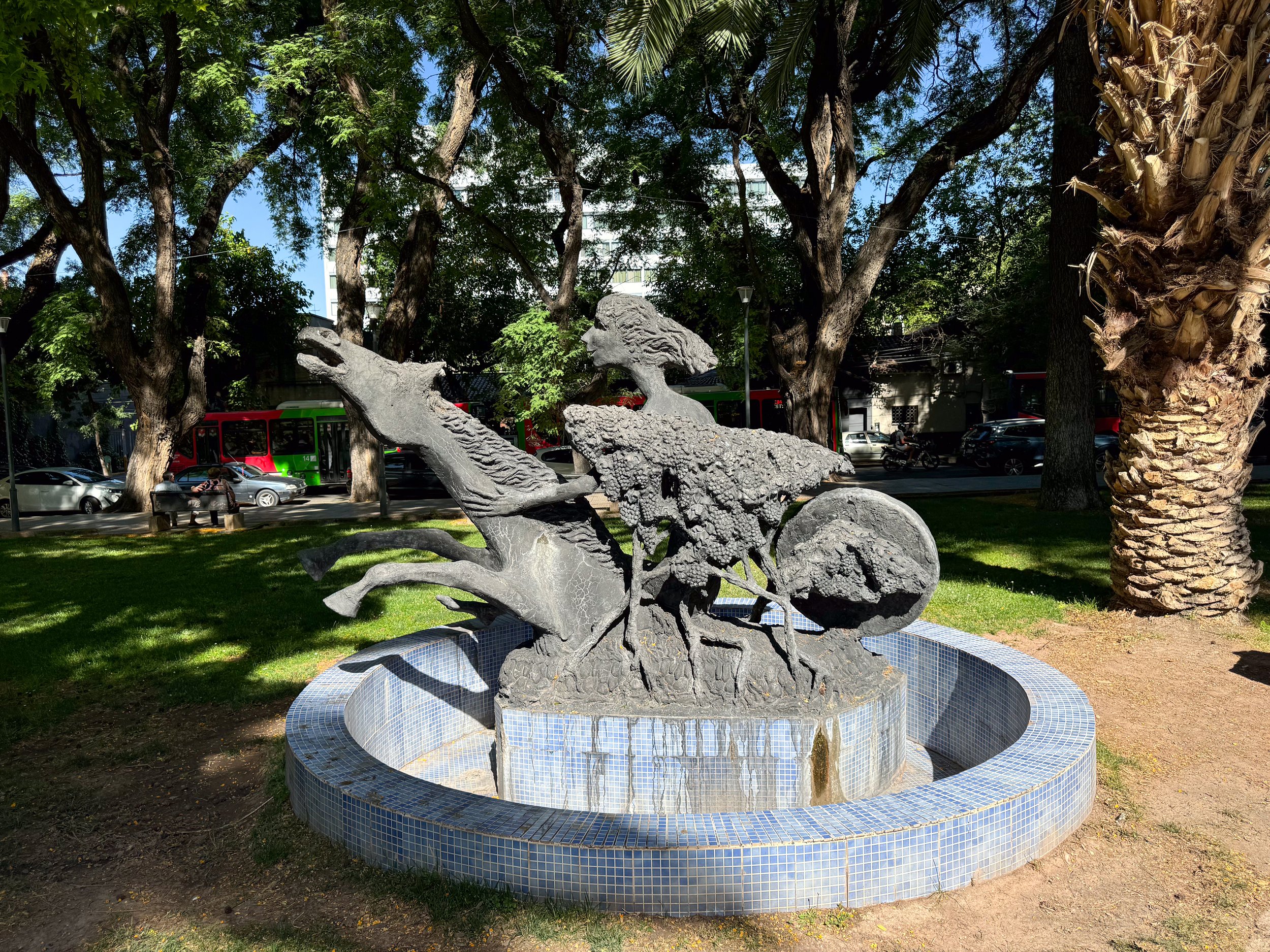
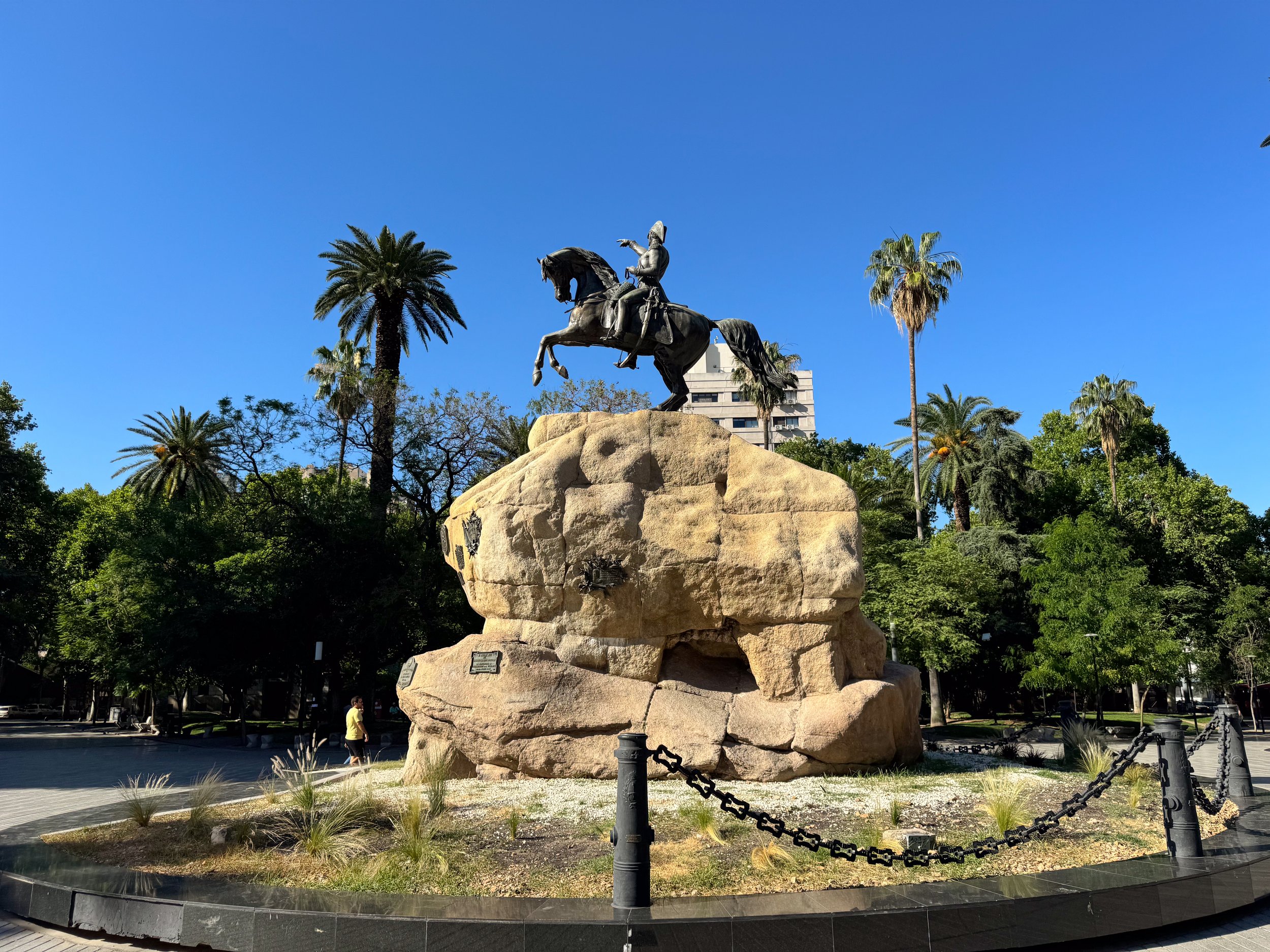
City Plazas and Parks
The city center is organized around a large plaza with four smaller squares a few streets away from its corners. They’re all easy to visit on foot and worth exploring while walking around the city center.
Plaza Independencia. A large treelined square at the center of the city with fountains, a theater and a weekend artisan market. Venders sell handcrafted items like wire metal jewelry, knitted items, leather good, ceramics, watercolor paintings, and knives.
Plaza España. A beautiful plaza with a central fountain, park benches, a monument and walkways covered in colorful and ornate Spanish tiles.
Plaza Italy. A plaza dedicated to Argentina’s Italian immigrants with a fountain at its center telling the story of Dante’s Divine Comedy, a statue of Rome’s iconic wolf, Lupa and numerous others rooted in Italian history.
Plaza Chile. A plaza dedicated to Argentina’s close relationship with neighboring Chile. The plaza has a fountain and park benches covered in mosaic tiles in the colors of Chile’s flag.
Plaza Army. A plaza dedicated to Argentina’s army with a stone monument and a bronze statue of a bronze general riding on top of it.
Parque San Martin. A large city park with a central pond, rose garden and biking trails. We picnicked here on a Saturday, walked along the trails and visited a large tented craft market and small organic food market.
Empanada Crawl
Empanadas are one of Argentina’s most popular snacks. The savory packets of dough are stylized with crimped sides and stuffed with fillings including meats, veggies or seafood. We decided to make a meal out of them and go on an empanada crawl across the city, trying as many vegetarian and pescatarian flavors as possible from multiple restaurants.
Los Inmigrantes - Sucursal Ciudad. A pizza parlor and empanadaera with several types of baked empanadas. We tried four types, the corn with cheese, shrimp with cheese, onion with cheese and spinach with onion. They had a homemade look and taste to them.
Harry’s. A chain restaurant and empanadera with a countertop display of dozens of empanadas ready to order. We visited two locations, trying the tuna, sweet corn, corn with cheese and fried shrimp with cheese. They had a homemade look and taste to them.
De un Rincón de la Boca. A pizzeria with pizza flavored empanadas on the menu. Most have meat however we tried the one veggie option, the capresse. The dough wrapped a tasty filling of tomato, mozzarella and basil.
Costumbres Argentinas. A fast food style deli with deserts, sandwiches and of course empanadas. We tried the vegan version with seasoned soy protein and another stuffed with corn, onion and cheese. They looked a little sad and tasted the most processed.
Have a Picnic!
We visited the Mercado Central and bought an assortment of goodies to create our own Picada style picnic. From the various vendors, we bought a bottle of Malbec, baked empanadas, green olives, fresh apricots, cherry tomatoes, a triangle of cheese, dried breads and alfajores. We brought our spoils to a shaded spot overlooking the lake in Parque San Martin and enjoyed for the afternoon.
What to Eat & Drink
Outside of empanadas, wine and meat, Argentina has a few more popular staples of their cuisine.
Picadas. Argentinian style charcuterie or plates of pickings “pickings” often including cheeses, pickled veggies and meats.
Rabas. Fat rings of Argentinian style fried calamari. It’s a common restaurant appetizer and snack at bars.
Milanesa. The classic Italian dish of a breaded and fried protein is popular across Mendoza. Unable to find a vegetarian version, we made our own Eggplant Milanese with a tomato and onion sauce.
Medialunas. Sweet Argentine style croissants often served at breakfast.
Alfajores. Two sugar cookies with a generous layer of dulce de lèche sandwiched in between and coated in coconut shavings or covered in chocolate.
Olives. In addition to grape vineyards, olive groves are plentiful across the region. Pickled olives, olive pate and olive oils are common snacks and ingredients on menus.
Fugazza. Argentinean style pizza made with a thin crust and fluffy dough topped with any number of toppings. Traditional places bake it in a coal or wood fired oven.
Provoleta. Grilled and melted Argentinean provolone cheese seasoned with oregano and olive oil It’s often served with bread for dipping.
Local Beer. Outside of wine, Mendoza has a small beer scene with breweries, beer gardens and local beers.
Cerveza Patagonia. An Argentinian brewery with a range of locally brewed beers. We ordered the Vera IPA, a mildly hoppy and citrusy beer, and the Lager del Sur, an easy drinking beer with a slight sweetness.
Chachingo Arístides. A craft beer garden with a menu of locally brewed beers. We tried the Blonde Ale, light and refreshing, and IPA, mild and hoppy.
Andes Origen. A local brand of beer with several varieties. It’s advertised and seen on menus across the city. We tried the Roja, a light and nutty flavor with a slight sweetness.
Where to Eat & Drink
Soberana. One of the fancier restaurants in the town in a contemporary building. We ordered the buratta, basket breads and seafood pasta to share.
Che Picadas. A restaurant serving Picadas (Argentinian style charcuterie). They provide a platter of them for free with any order of food! We ordered the classic spread for two with a Spanish tortilla, six caprese empanadas and rabas (calamari).
Zitto. A chain restaurant and bar with a 2x5 happy hour. After walking around, we cooled down and relaxed with two Aperol Spritz.
Va Vene. A cafe chain with locations across the city with alfajores, frozen pasta and coffee.
La Dolce. A house in the Maipu Valley converted into a cafe with artisan coffee and sweet breakfast dishes like medialunas, waffles and pancakes. Try the waffles covered in dulce de lèche and sliced bananas.
Safety & Good to Know
Mendoza is generally safe however petty theft, pickpocketing and snatch and grabs can happen. Keep phones and wallets in front pockets while walking around and never sitting on the table or bar when dining out.
Outside of vineyards, most places only serve wine by the bottle though there’s typically a house red and white by the glass.
When dining out, glasses of wine and occasionally bottles are cheaper than cups of coffee.
Credit and debit card is widely accepted.
Tipping is almost always done in cash. 10% is the generally accepted amount.
Many restaurants don’t open for dinner until after 8pm.
The city center is very walkable but use Ubers or taxis for longer distances.
For Next Time…
Tour the Uco Valley. A wine producing region about an hour south of Mendoza with vineyards and wine tours.
Nature Sights. Outside of visiting vineyards and drinking wine, we would return to see some of the regions natural sights including:
Parque Provincial Aconcagua. An Andean park with the tallest mountain in the Southern and Western hemispheres. On a clear day, it’s visible from Mendoza.
Lago Potrerillos. A deep blue reservoir in the foothills of the Andes Mountains with boating, hiking and watching the sunset.
Lake Titicaca
Lake Titicaca is a massive Andean lake bordering both Peru and Bolivia. It’s culturally significant for its floating village, terraced agricultural islands, colorful handmade textiles and dishes made from lake fish.
Lake Titicaca
Lake Titicaca is a massive Andean lake bordering both Peru and Bolivia. It’s culturally significant for its floating village, terraced agricultural islands, colorful handmade textiles and dishes made from lake fish. We spent three full days on the lake, exploring both the Peruvian and Bolivian shores.
The Uros Islands, Peru
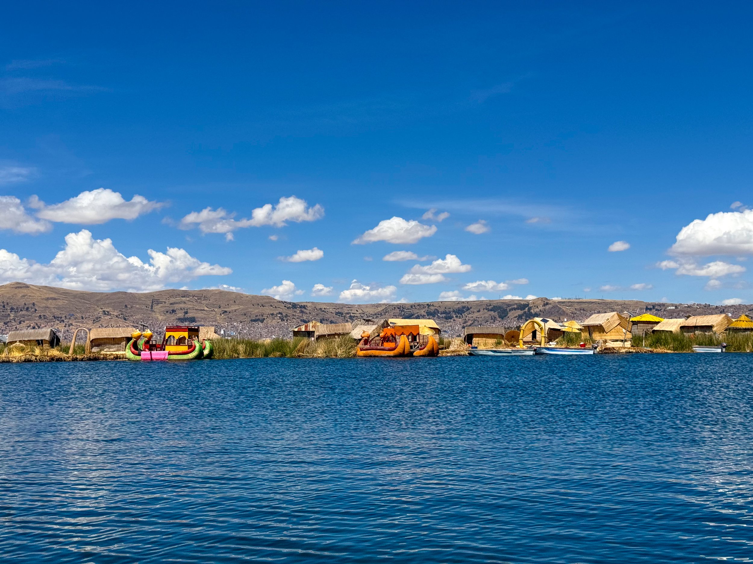
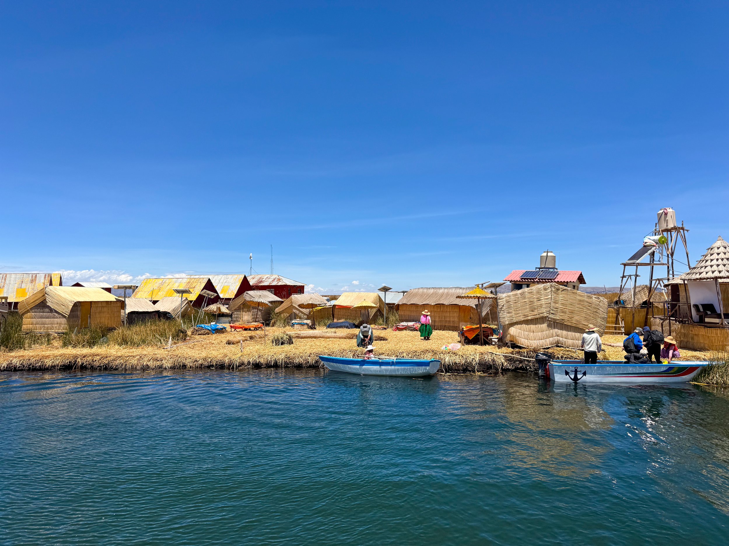
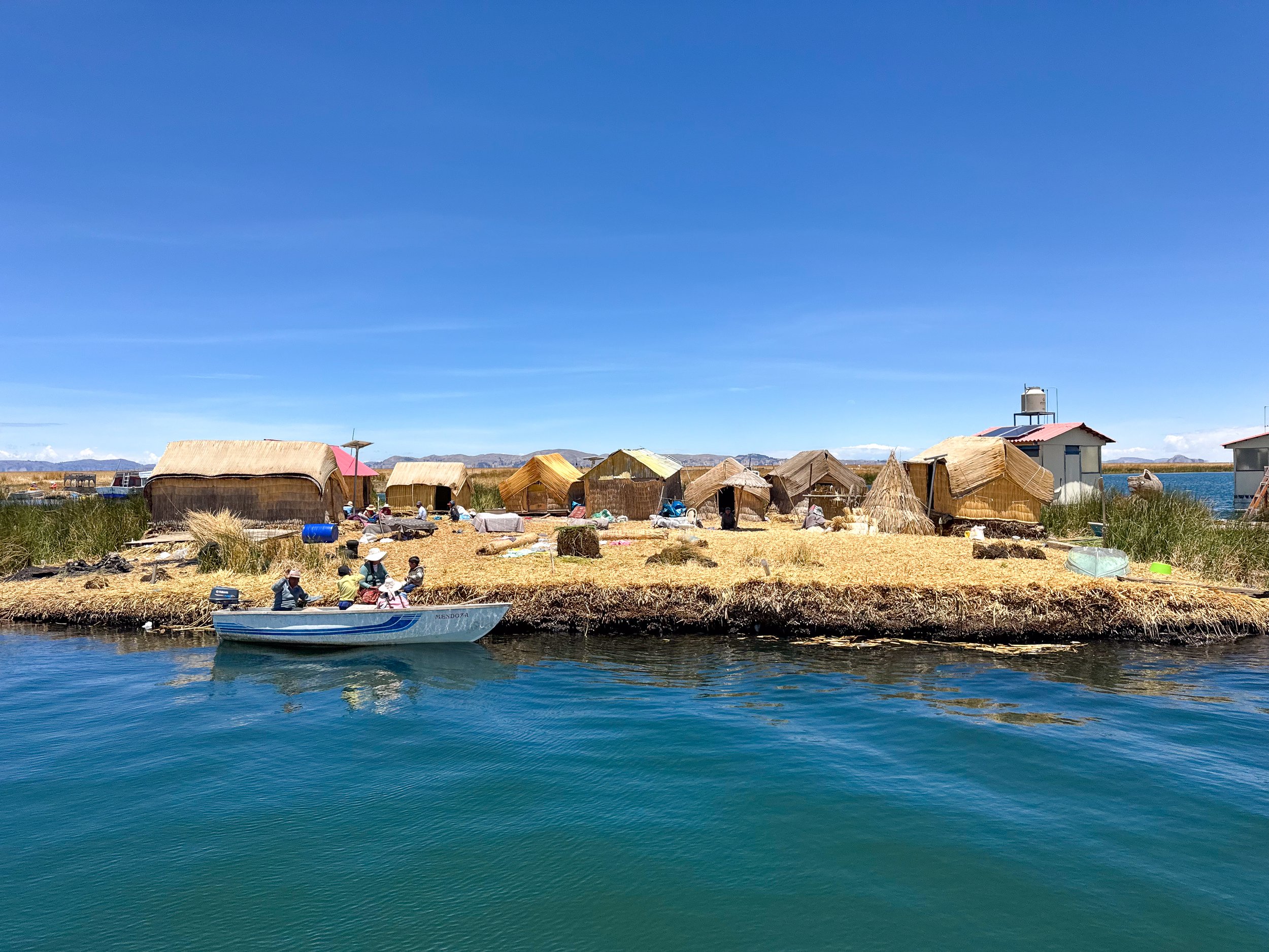
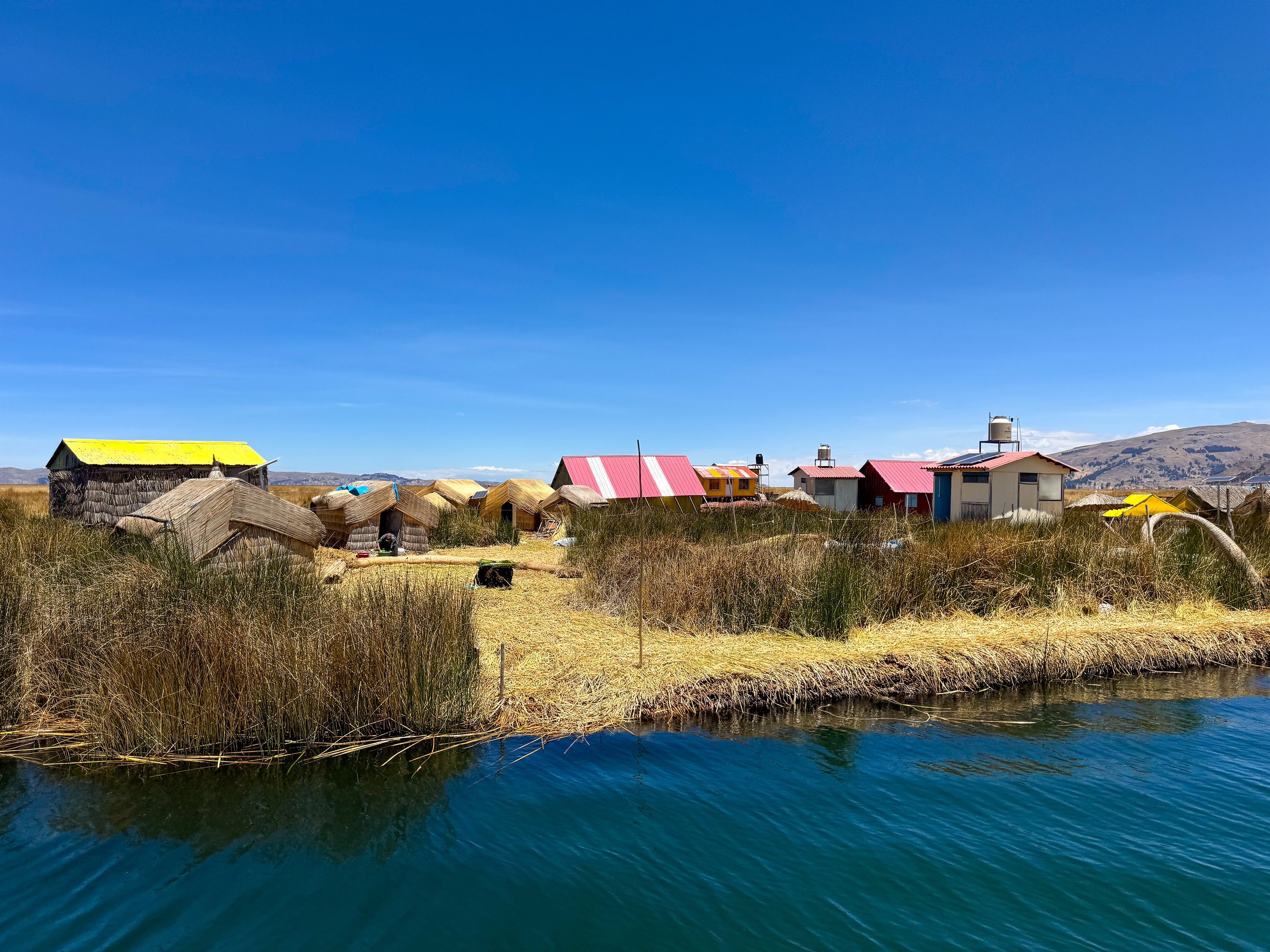
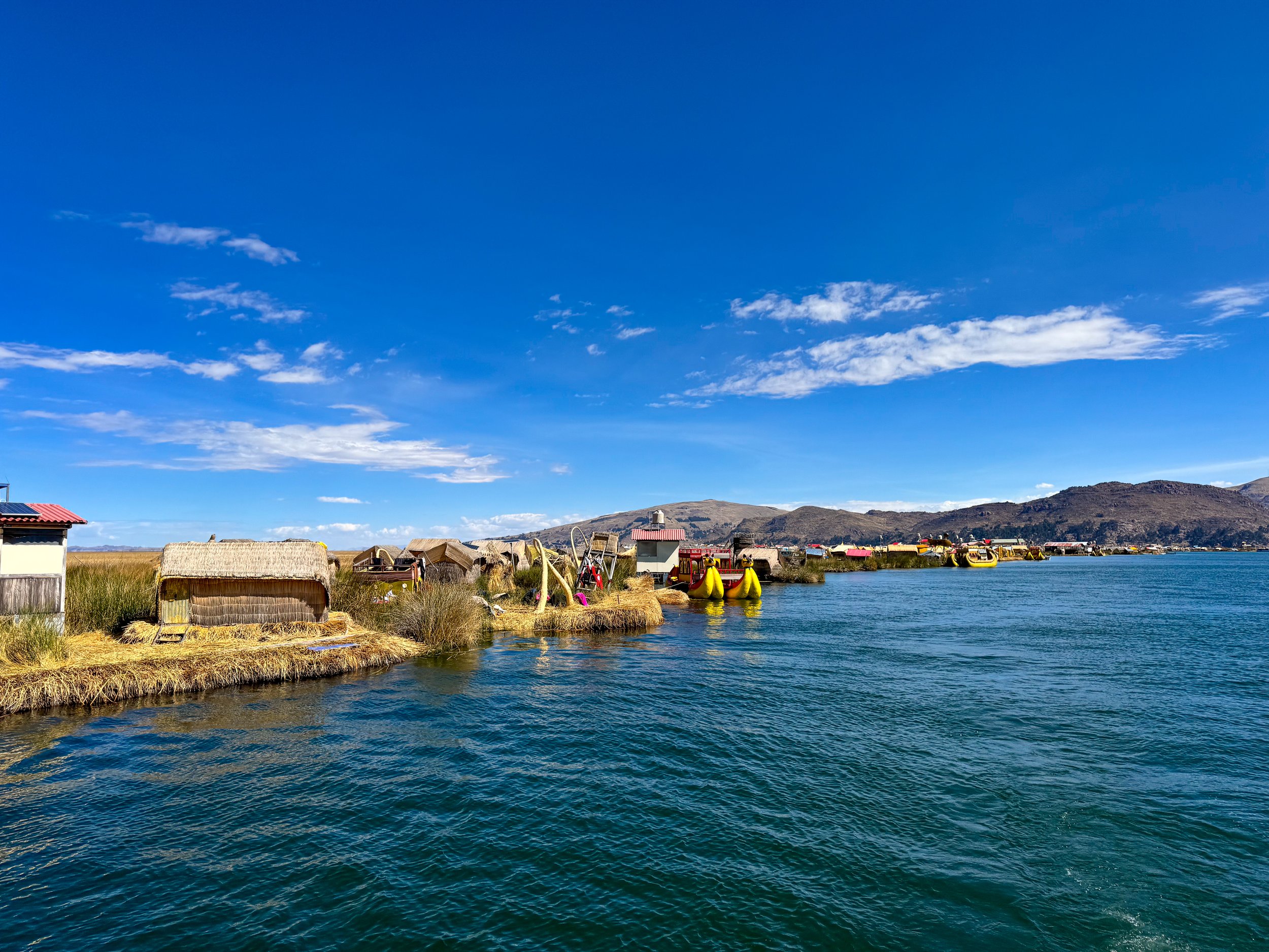
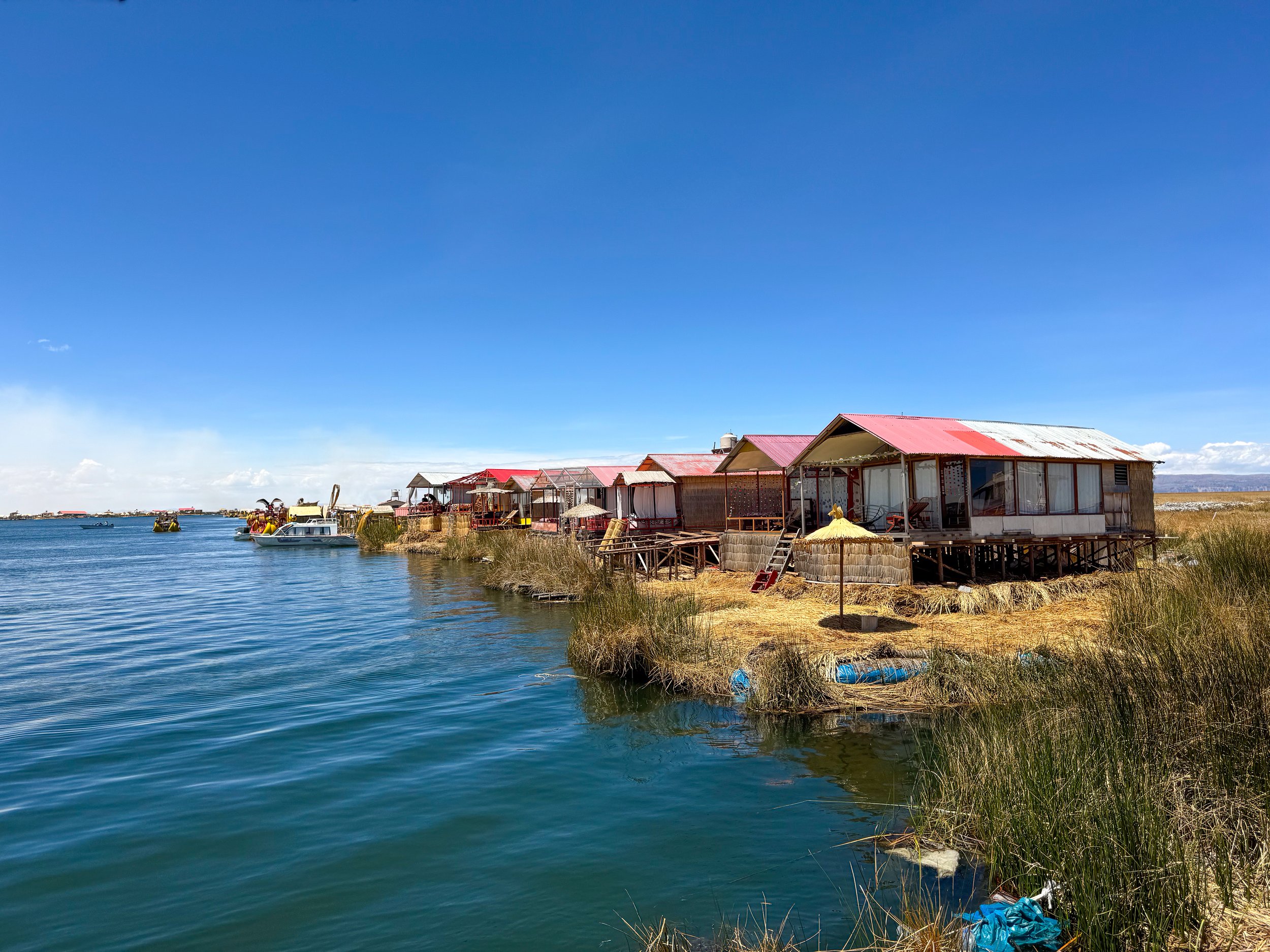
The Uros Islands are a series of floating islands on Lake Titicaca made from buoyant mud bricks and totora, a reedlike grass that grows in the shallows and marshes of the lake.
The Totora
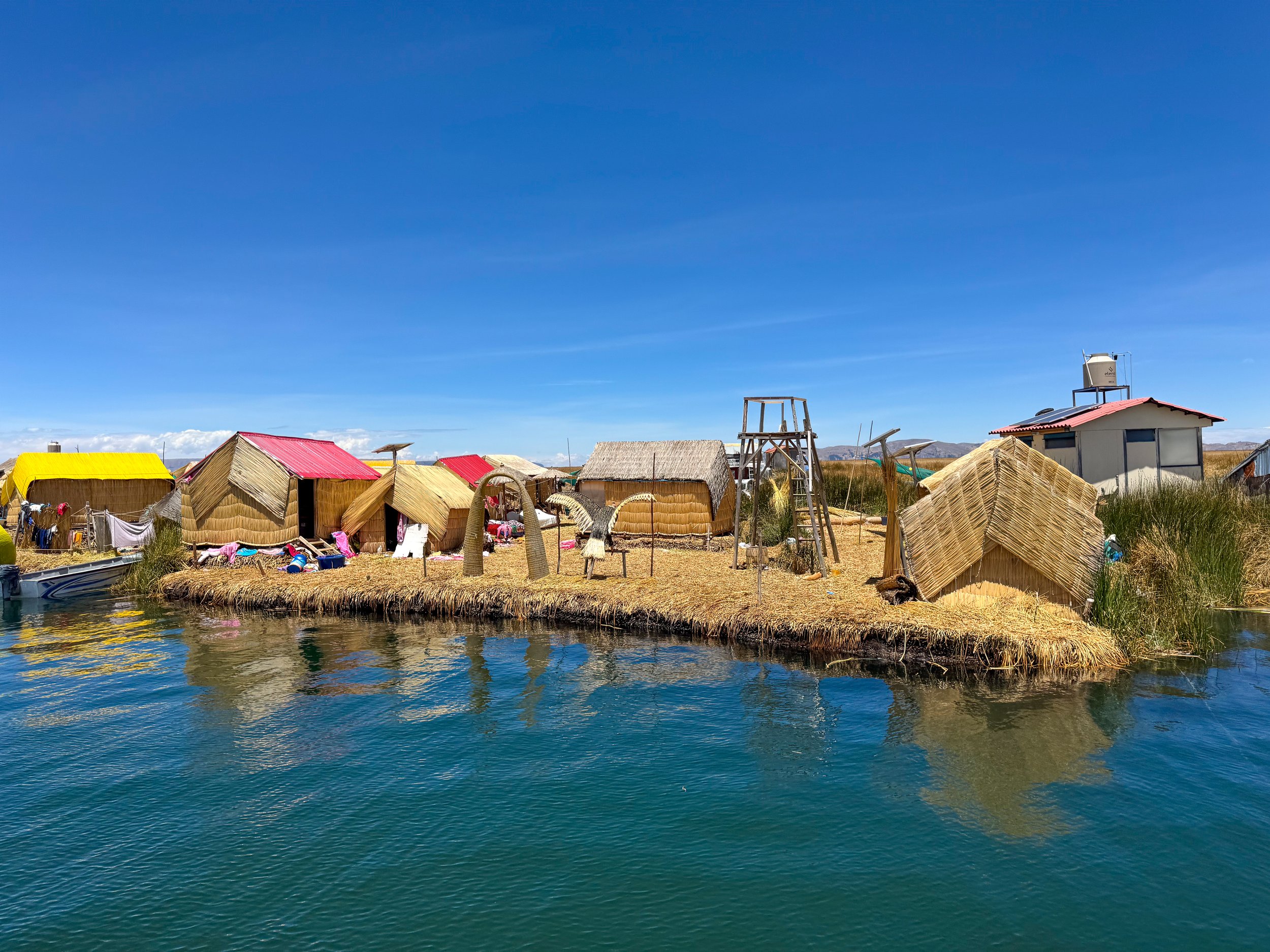
The totora is invaluable to the Uro people. It’s grown, harvested and dried then woven into blankets and bundles for use. It’s used to make everything from the floating islands themselves, to the houses people inhabit, the benches people sit on, the boats they navigate with and even hats, umbrellas and sculptures.
Everything made from the totora needs to be maintained. Each morning, we spotted boats carrying fresh cut totora to the islands. The fresh totora is layered across the surface of the islands monthly while houses, boats & sculptures are remade every two years. The islands, if maintained, can float for up to 40 years before needing to be rebuilt.
Life on the Islands
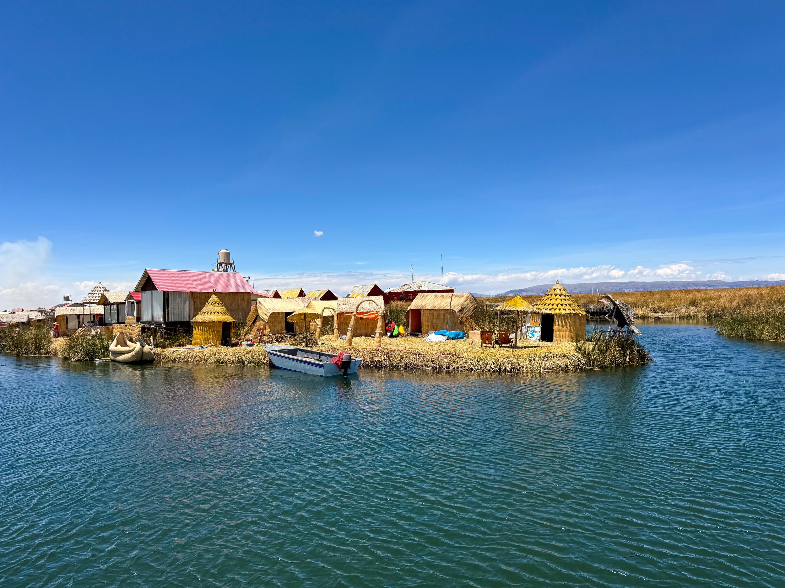
Each island houses a family with different structures used for sleeping, storage and eating. The grandparents even have a special cone shaped house that sets them apart as the elders while most others have a standard pentagon shape.
Fishing used to be the primary business for the Uro people, today it’s tourism and handicrafts. This allows them to continue their way of life and share their community with the world. They gifted us handmade necklaces, we purchased a table runner and miniature totora boat for breads and fruits.
Home Stay at Isla Jacha Challwa
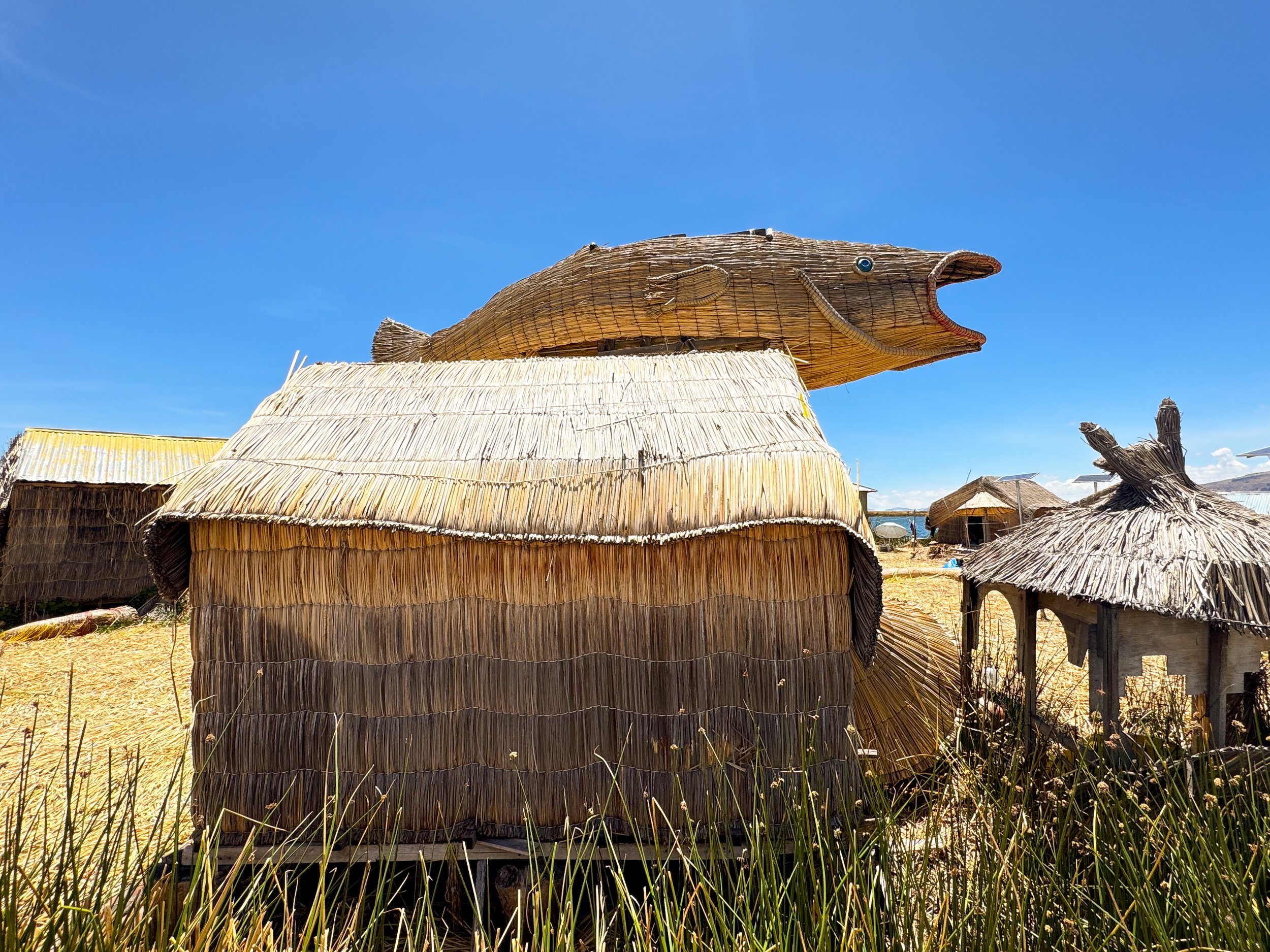
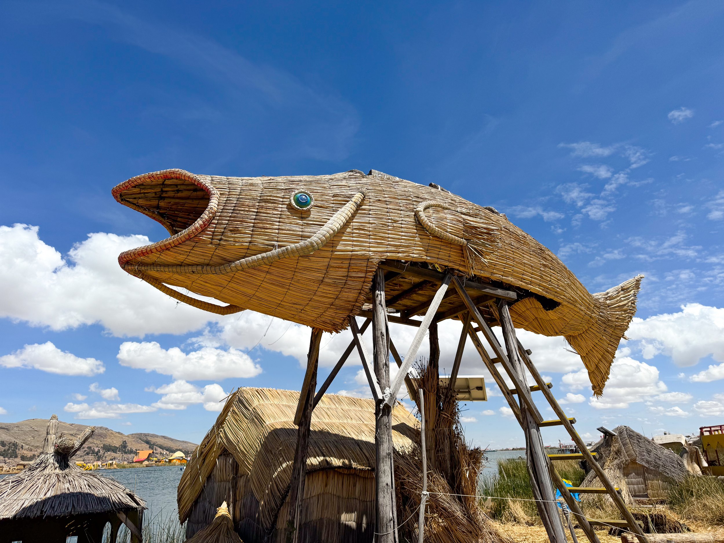
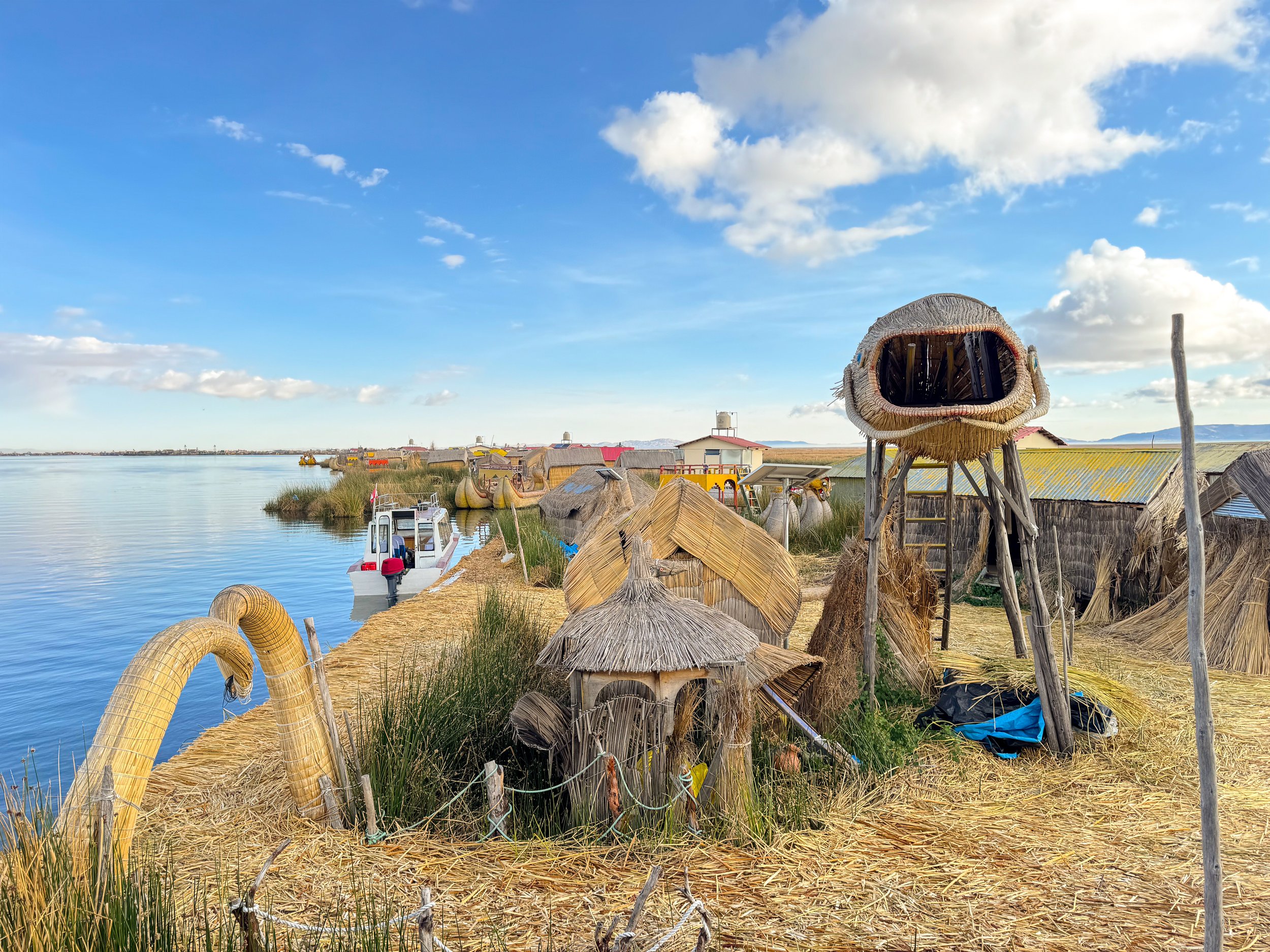
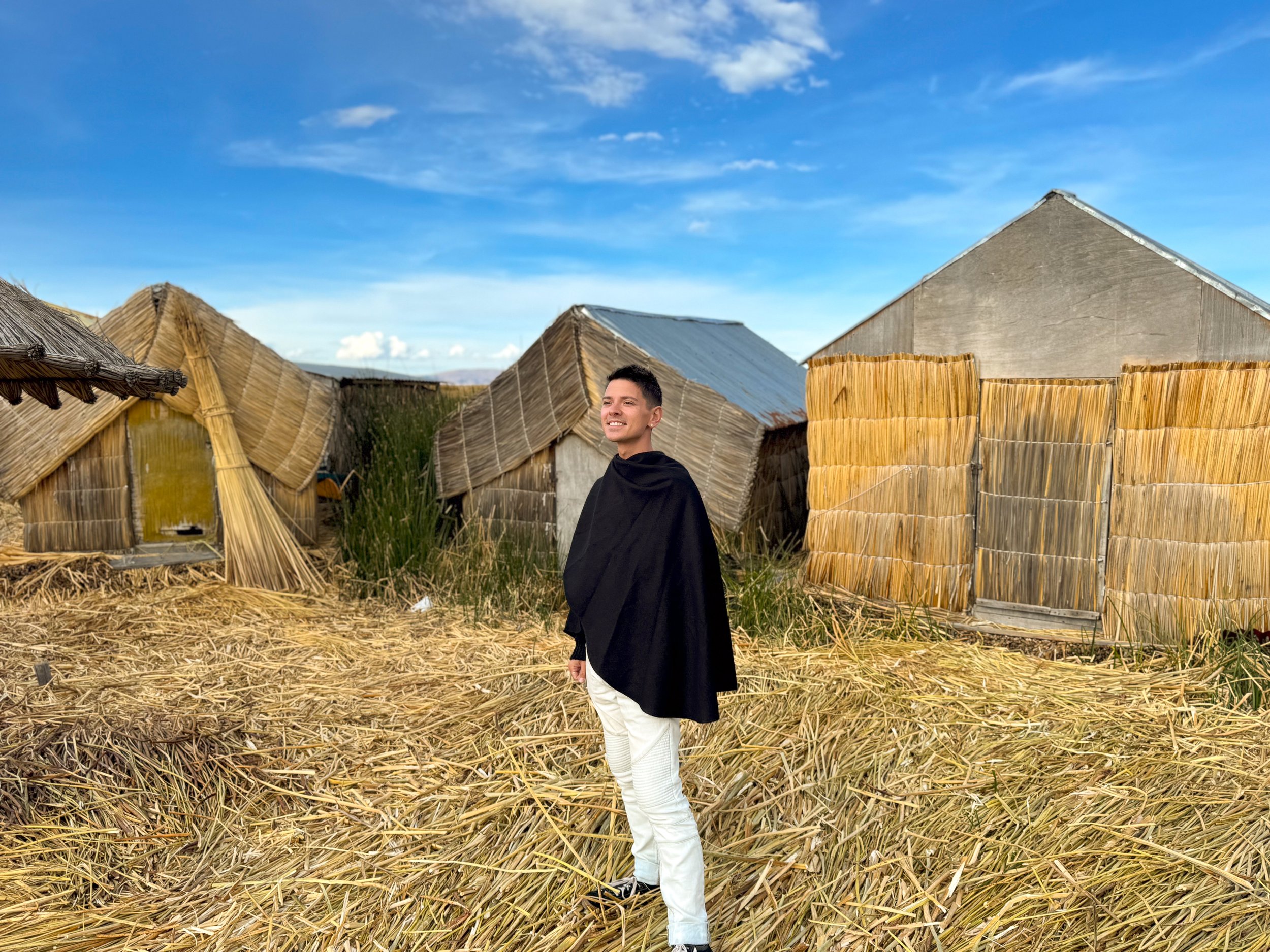
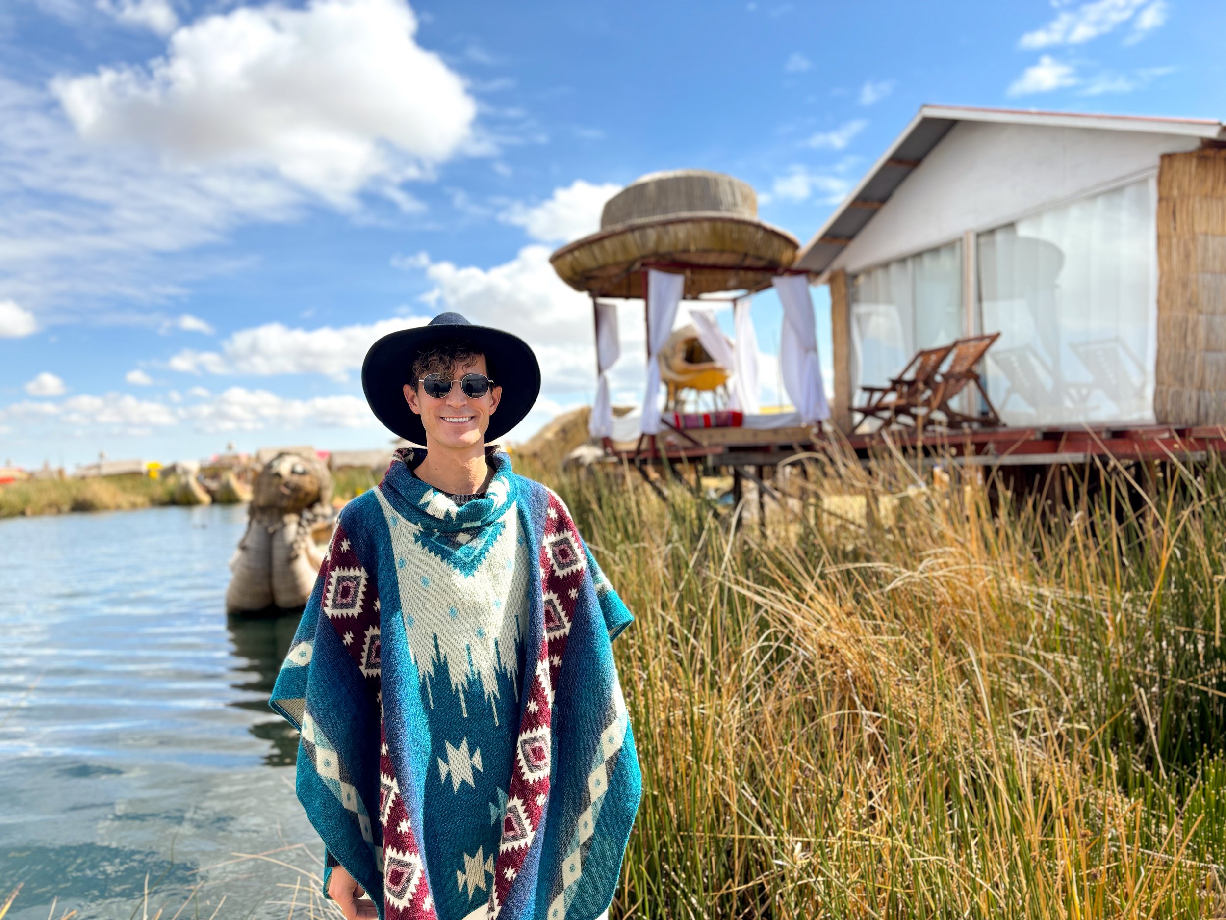
We stayed with a family while visiting the Uros Islands. They named their island, Isla Jacha Challwa, which translates to giant fish. They even built a lookout tower with a giant totora fish for its design! As we explored the island, the totora crunched beneath we our feet and the entire island rocked gently as passing boats created a small wake.
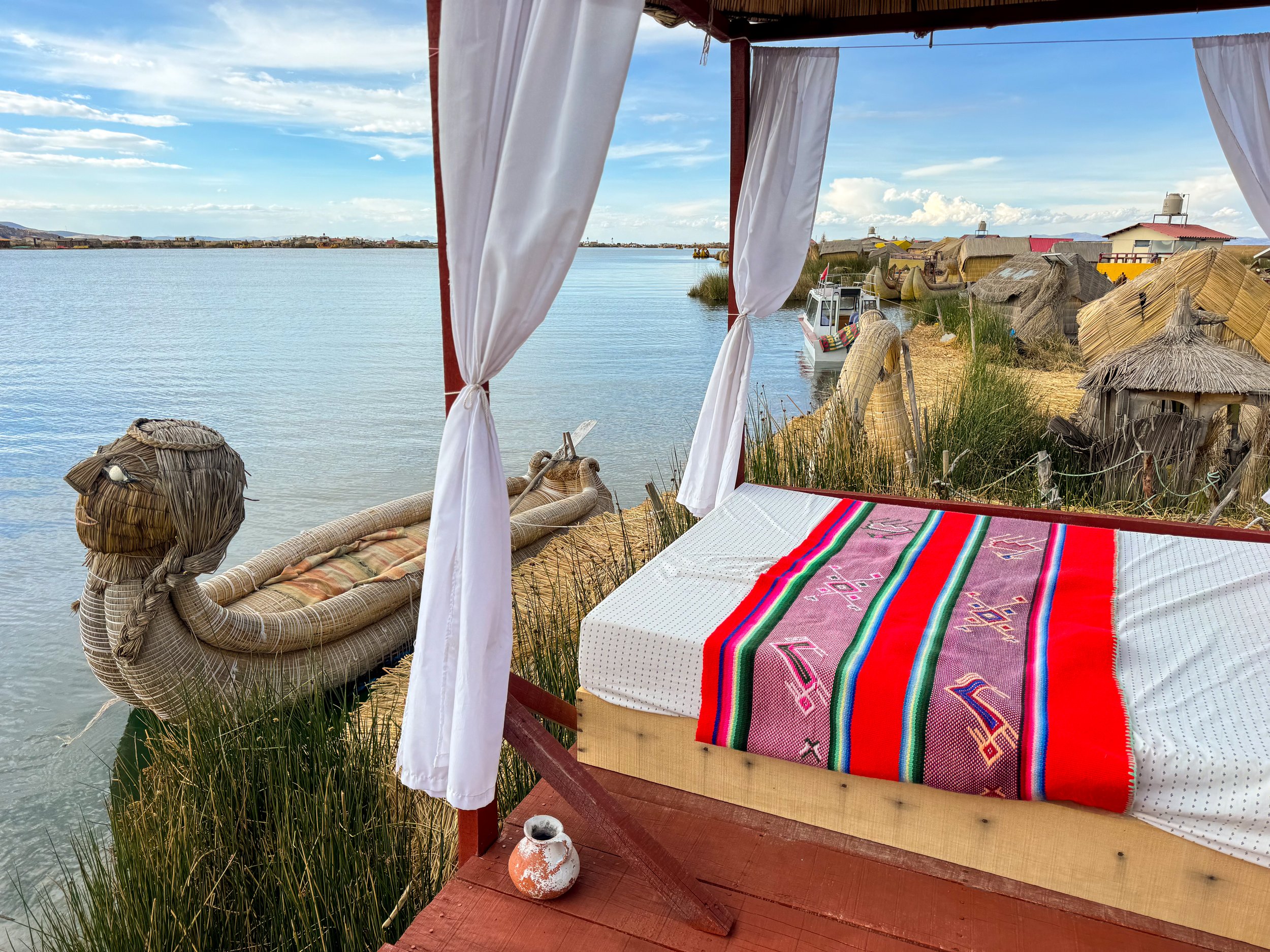
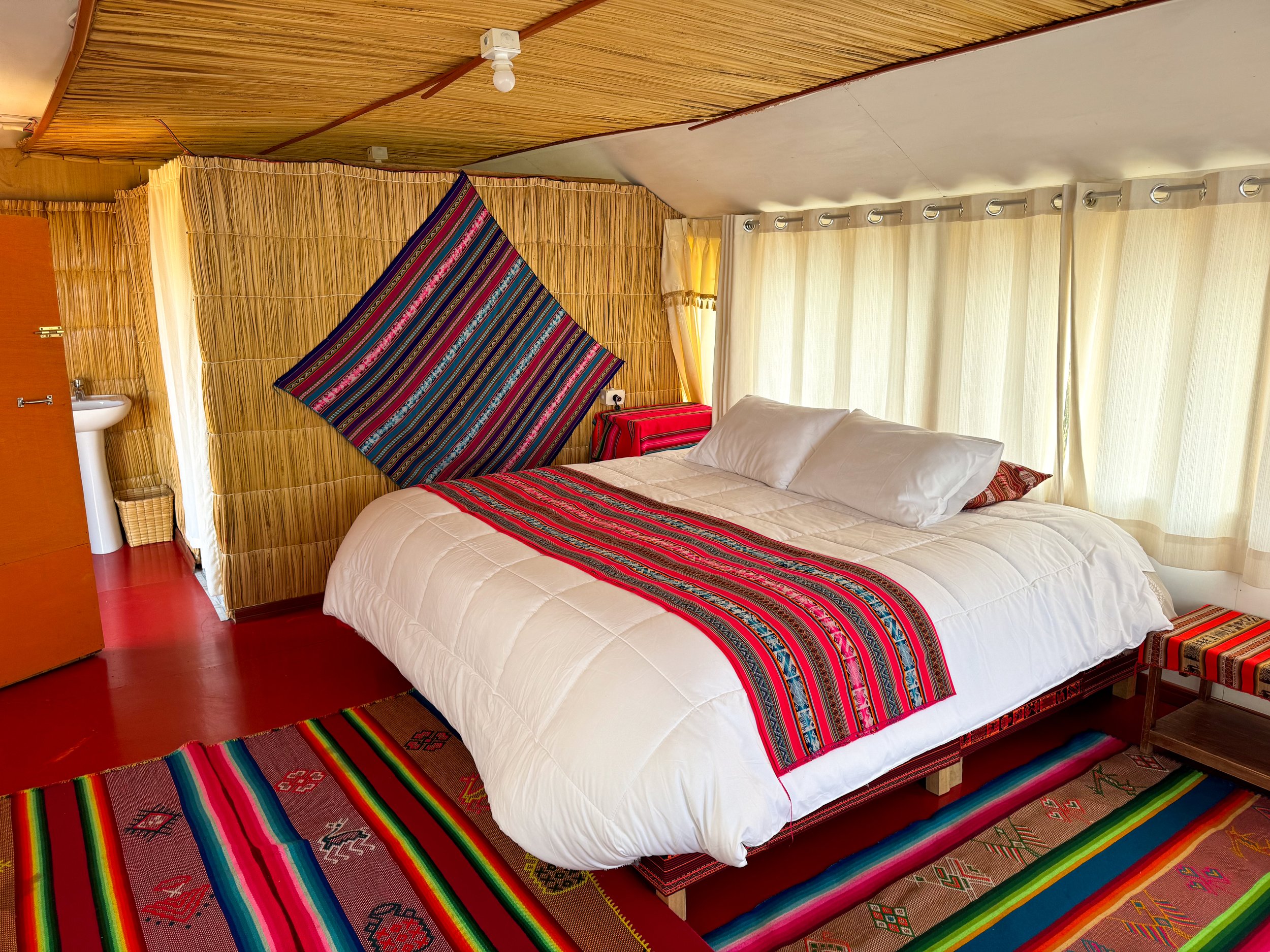
The house we stayed in was covered in the dried totora and the interior was decorated with colorful woven textiles. It had a patio that opened up to the lake with lounge chairs and an outdoor bed topped with a large woven hat for shade. We napped here and watched the sunset. Book here!
Caballitos de Totora (Totora Boats)
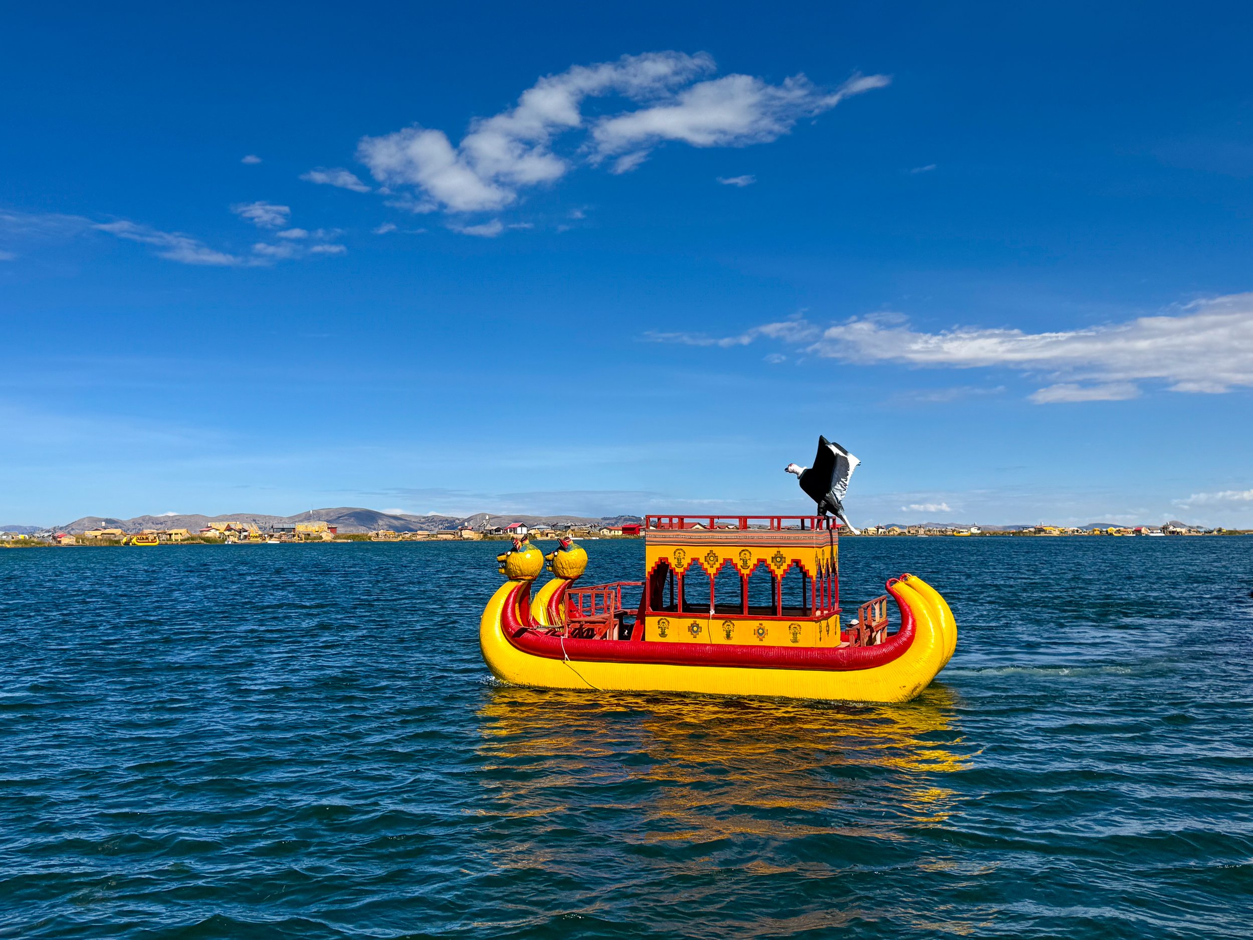
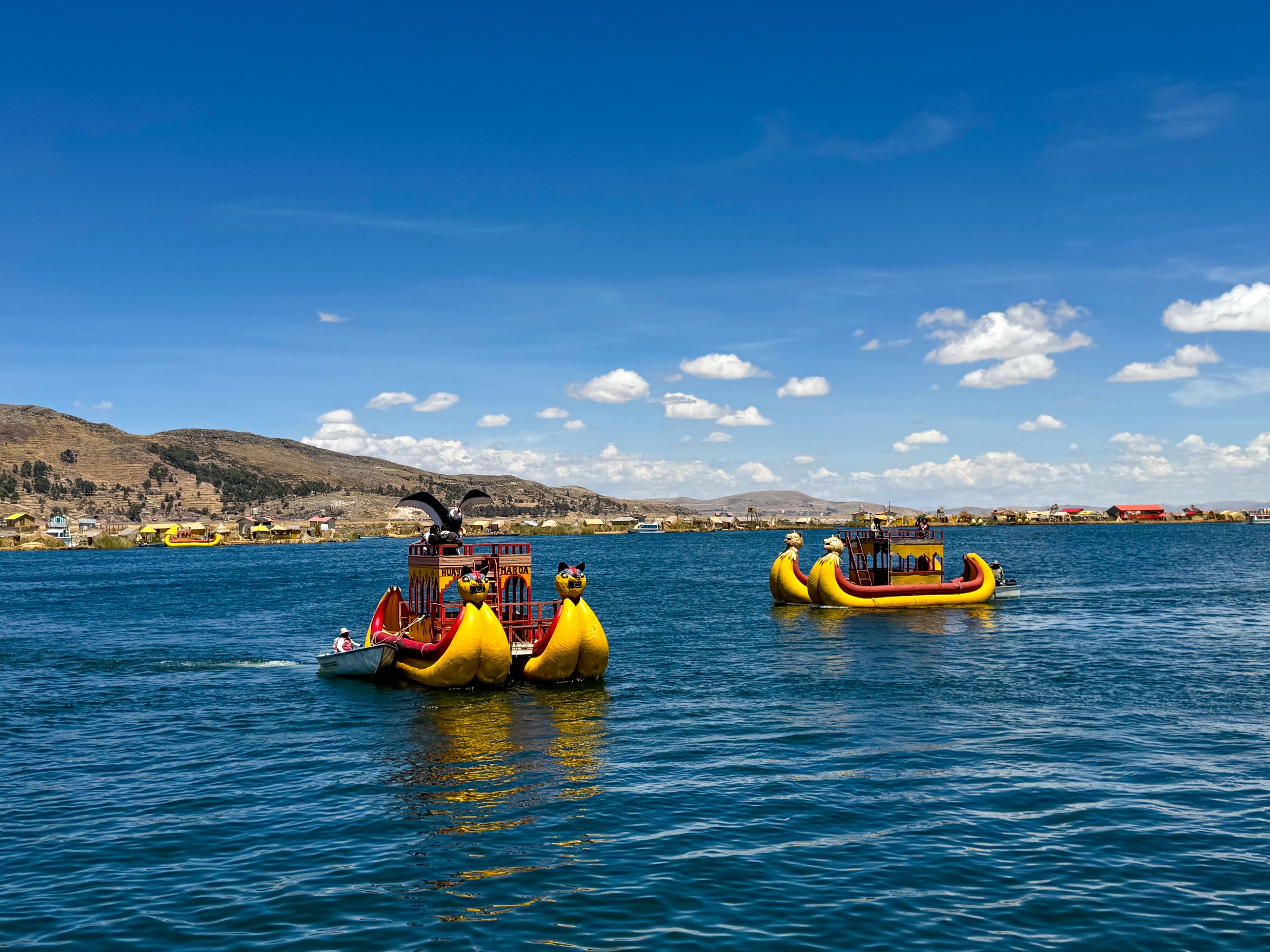
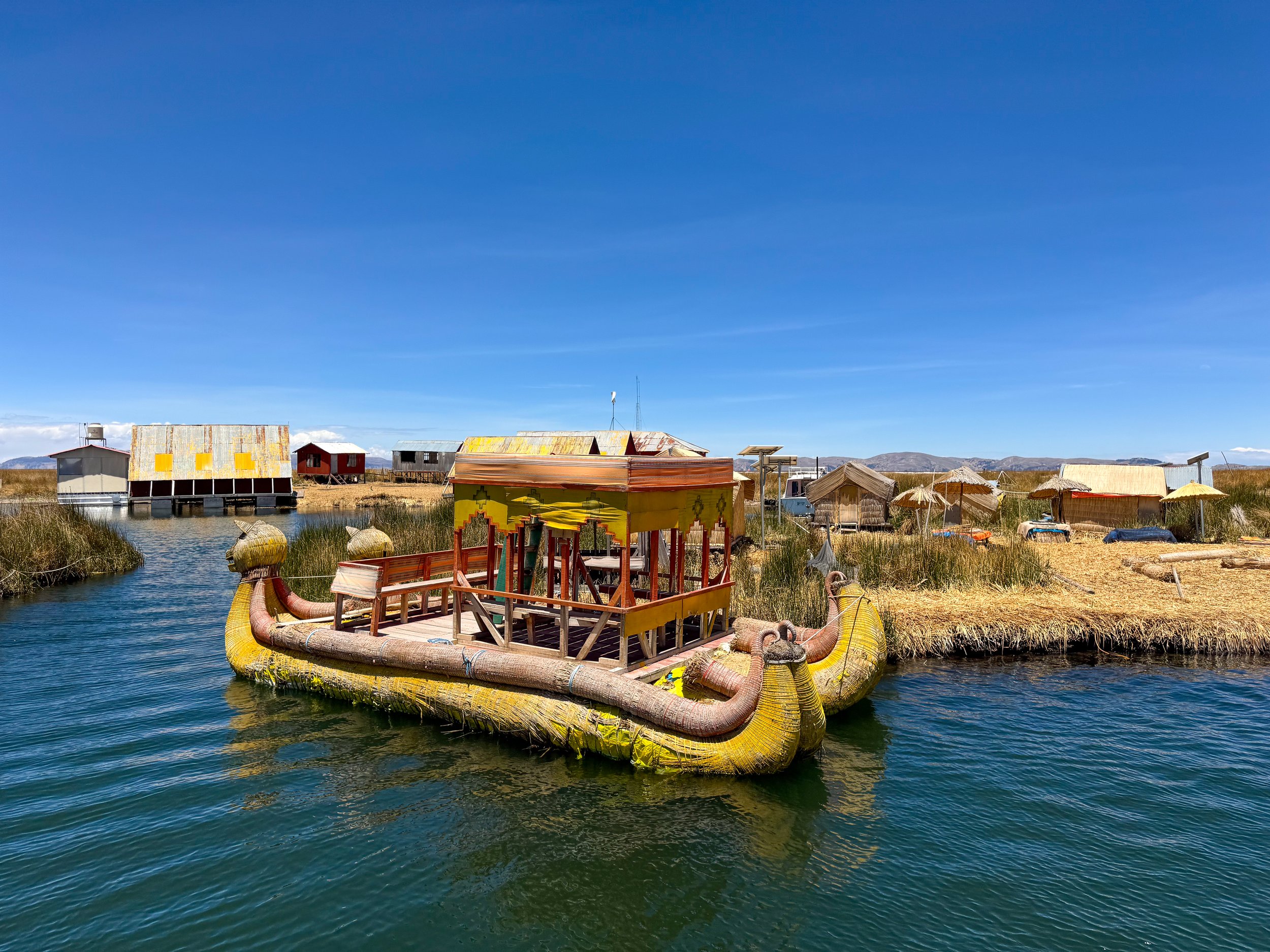
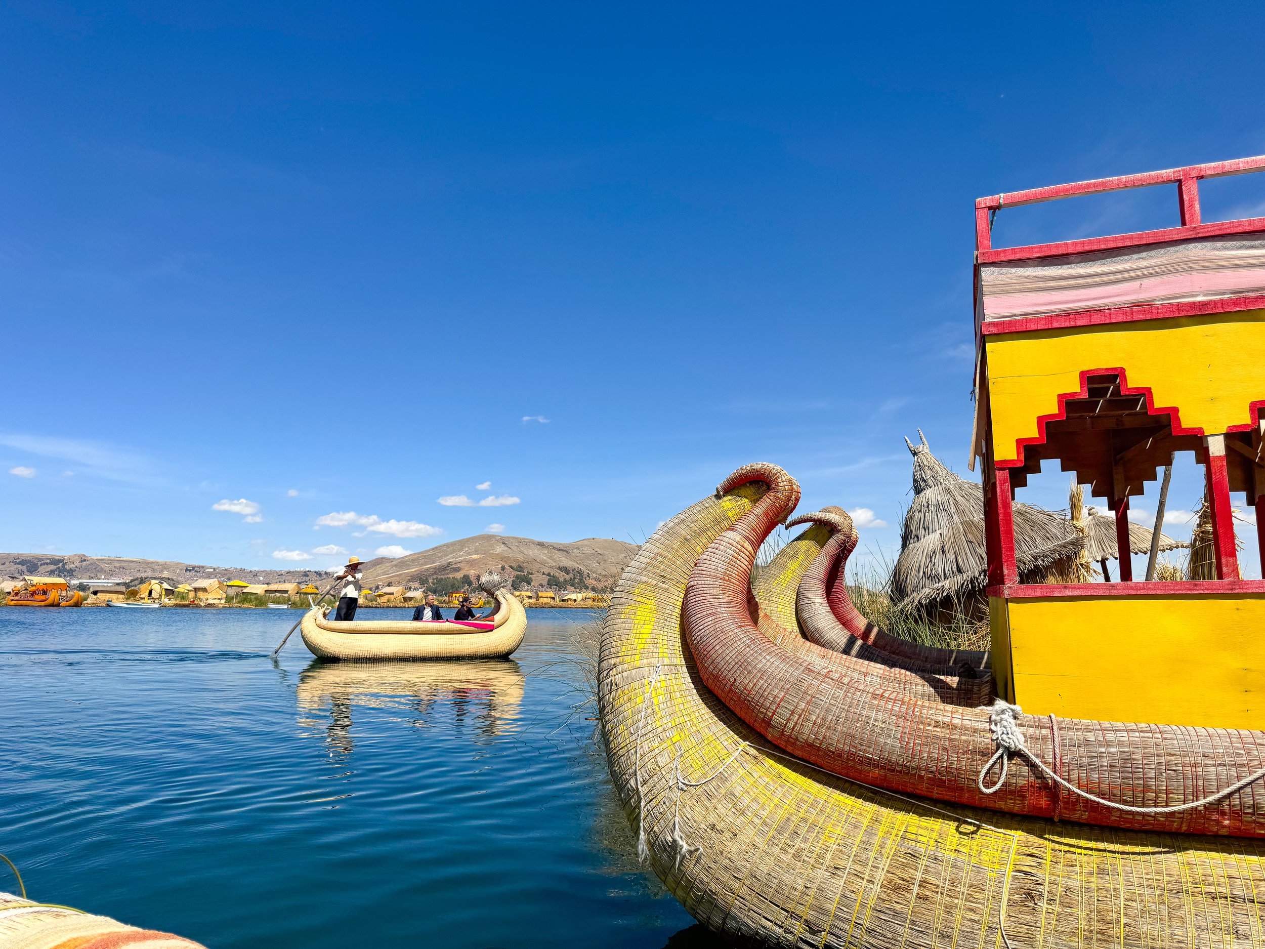
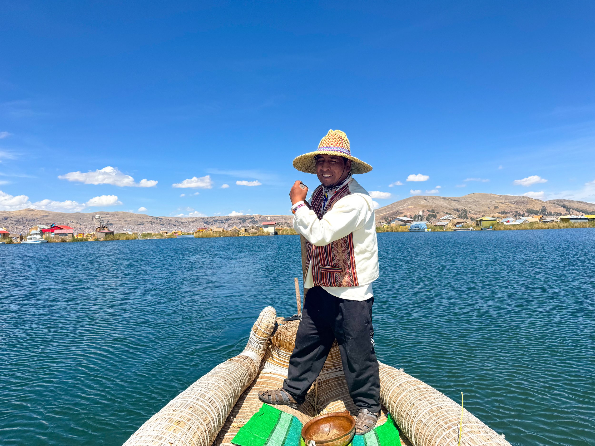
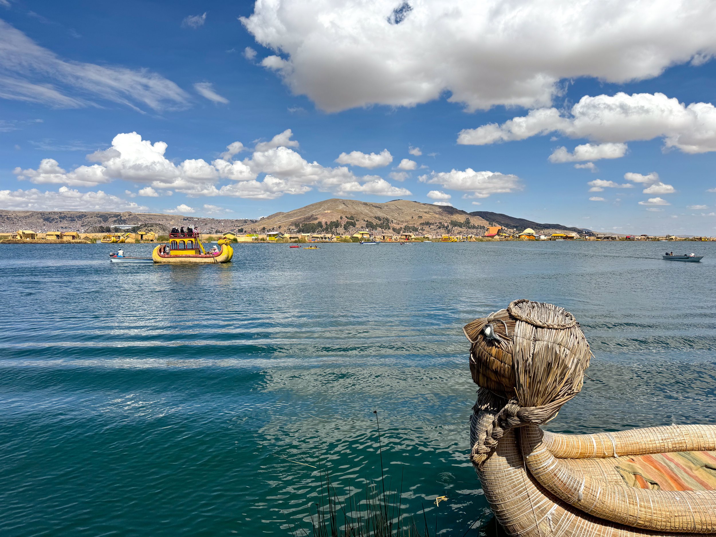
Caballitos de totora are the traditional boats used by the Uro people. Made from totora, they’re shaped into the body of a snake with the head of a puma. The larger boats are made from two smaller ones adjoined by a wooden platform. Some even have a sculpture of a condor or the sun as decoration. Many are left natural while others are painted in a yellow protective coating. The smaller boats are hand paddled while the larger ones are tugged by a motor boat.
Touring the Uros Islands
Our host took us on a tour of the islands, a sunset boat ride, net fishing and even let us attempt to paddle the boat. He shared stories of his father and grandfather, being some of the best fishermen on the lake. The matriarch caught fish and cooked meals for us including pan fried trout from the lake and soup made from our fresh catch.
On our boat tour, we slowly passed nearly every island in the community, admiring the golden color from the thatched surfaces, the colorful textiles and unique styles of the boats. The islands are very welcoming of visitors, with home stays, small restaurants serving local cuisine and tiny shops. They have their own hospital, communal place of worship and elementary school.
Restaurant Titicaca
A popular lunch spot on the Uros Islands with traditional cuisine from Lake Titicaca. Trucha (trout) is the star of the menu. It’s prepared pan fried, deep fried or as ceviche, all with sides of Peruvian potatoes and rice. We dined in a pavilion, watching boats colorful boats pass by and enjoying the lake views.
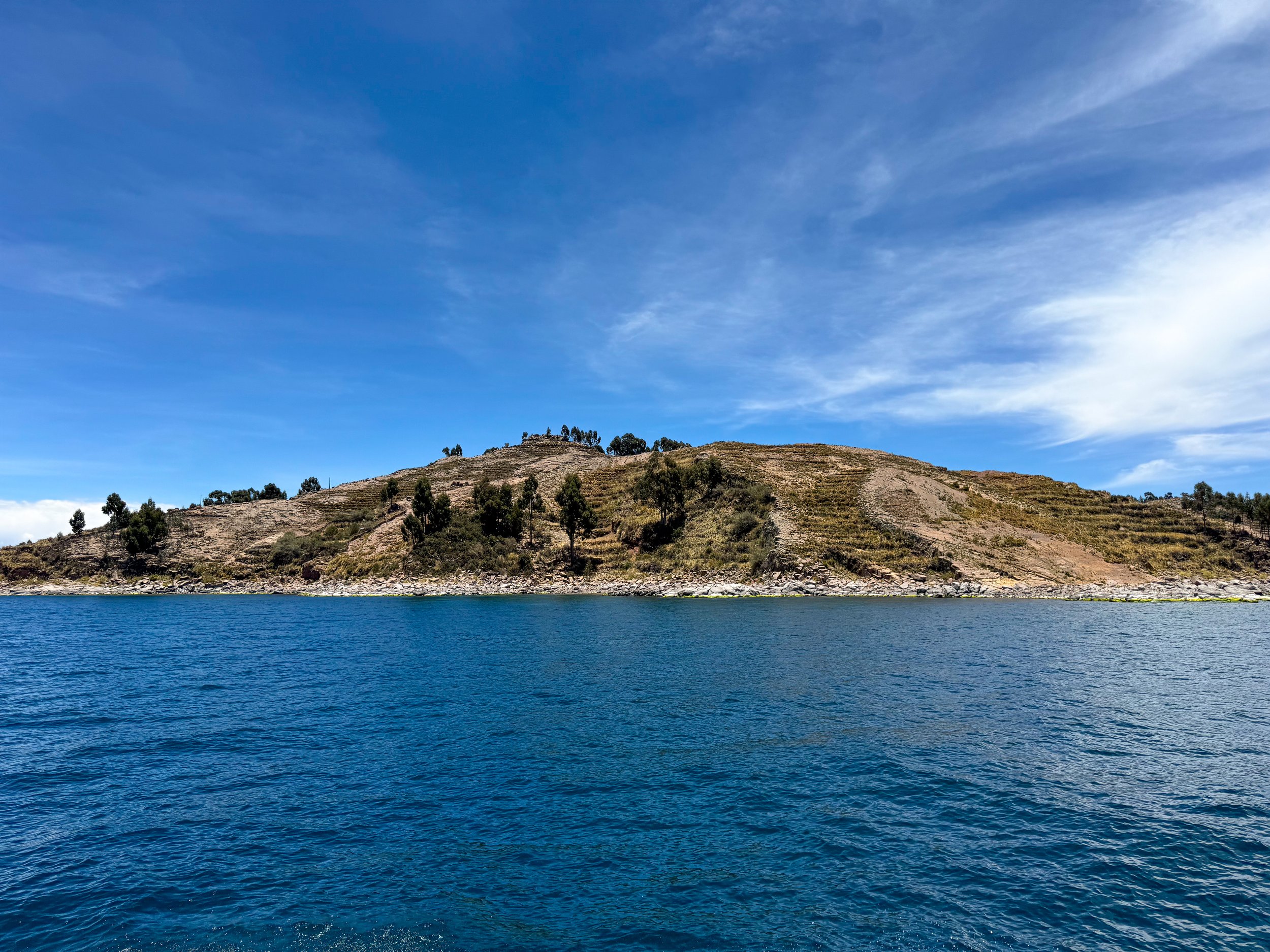
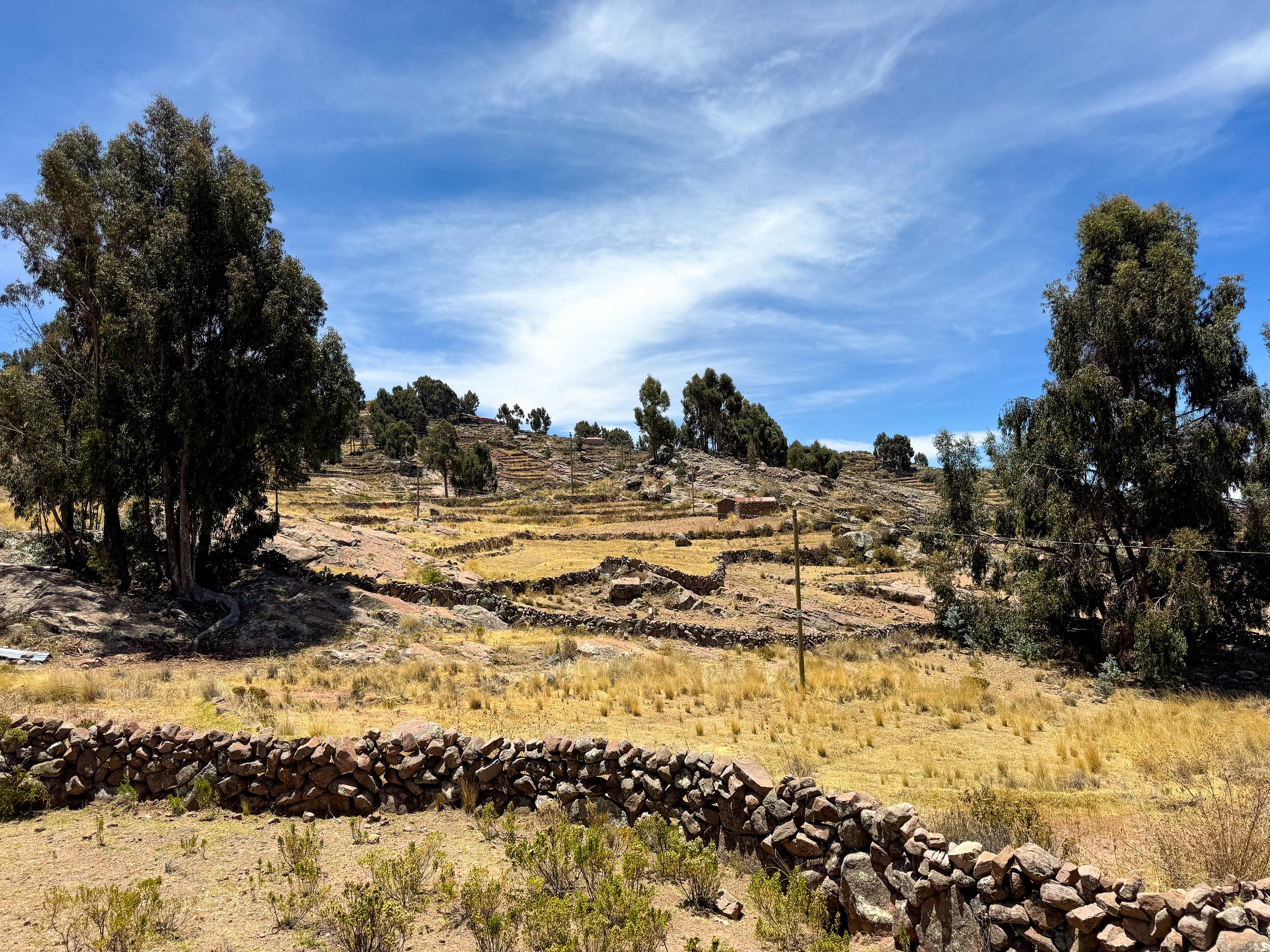
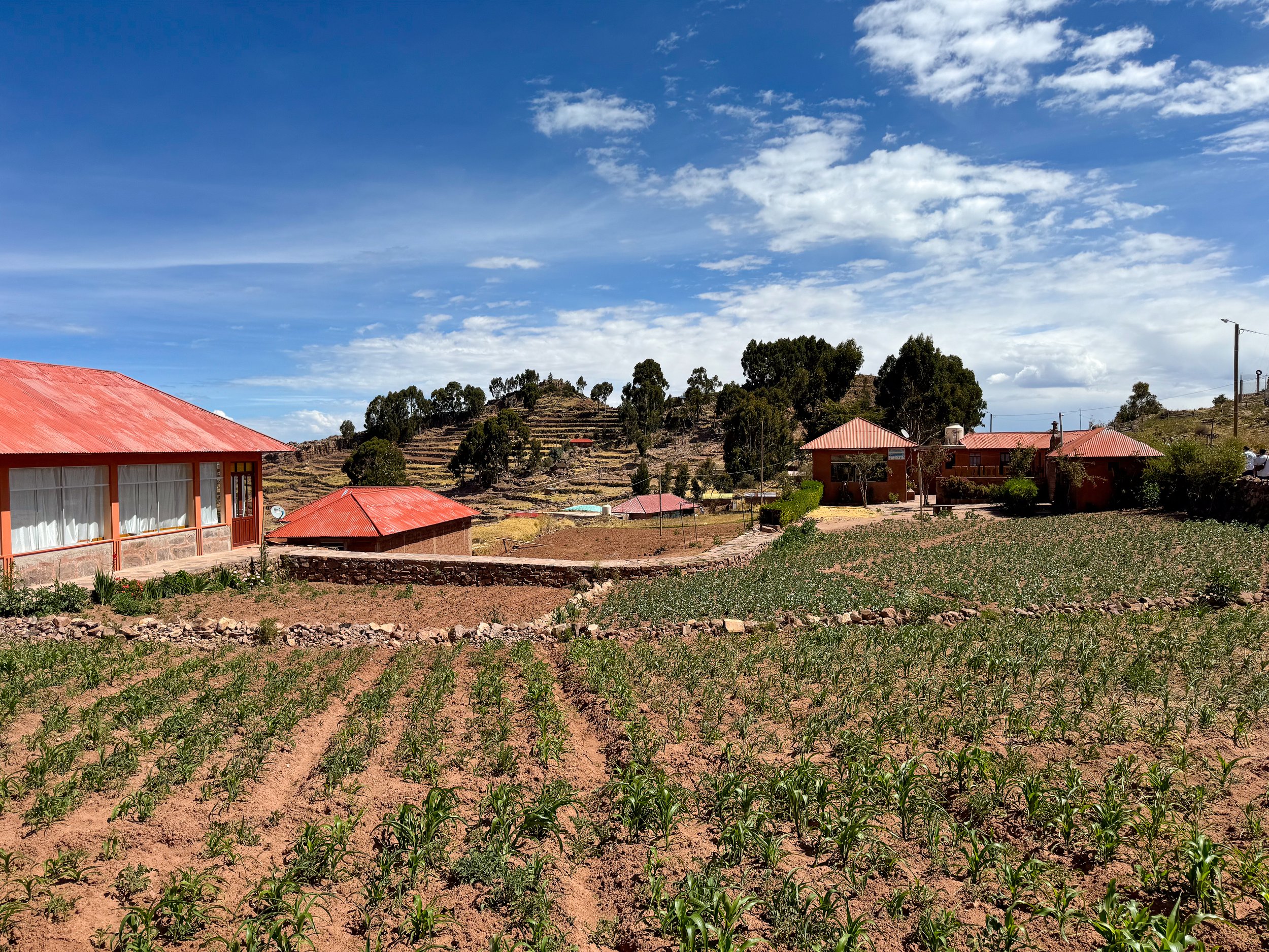
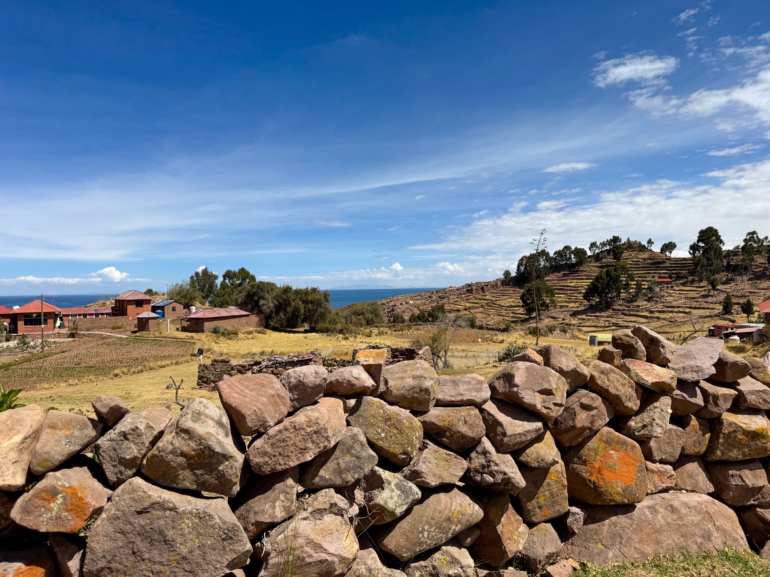
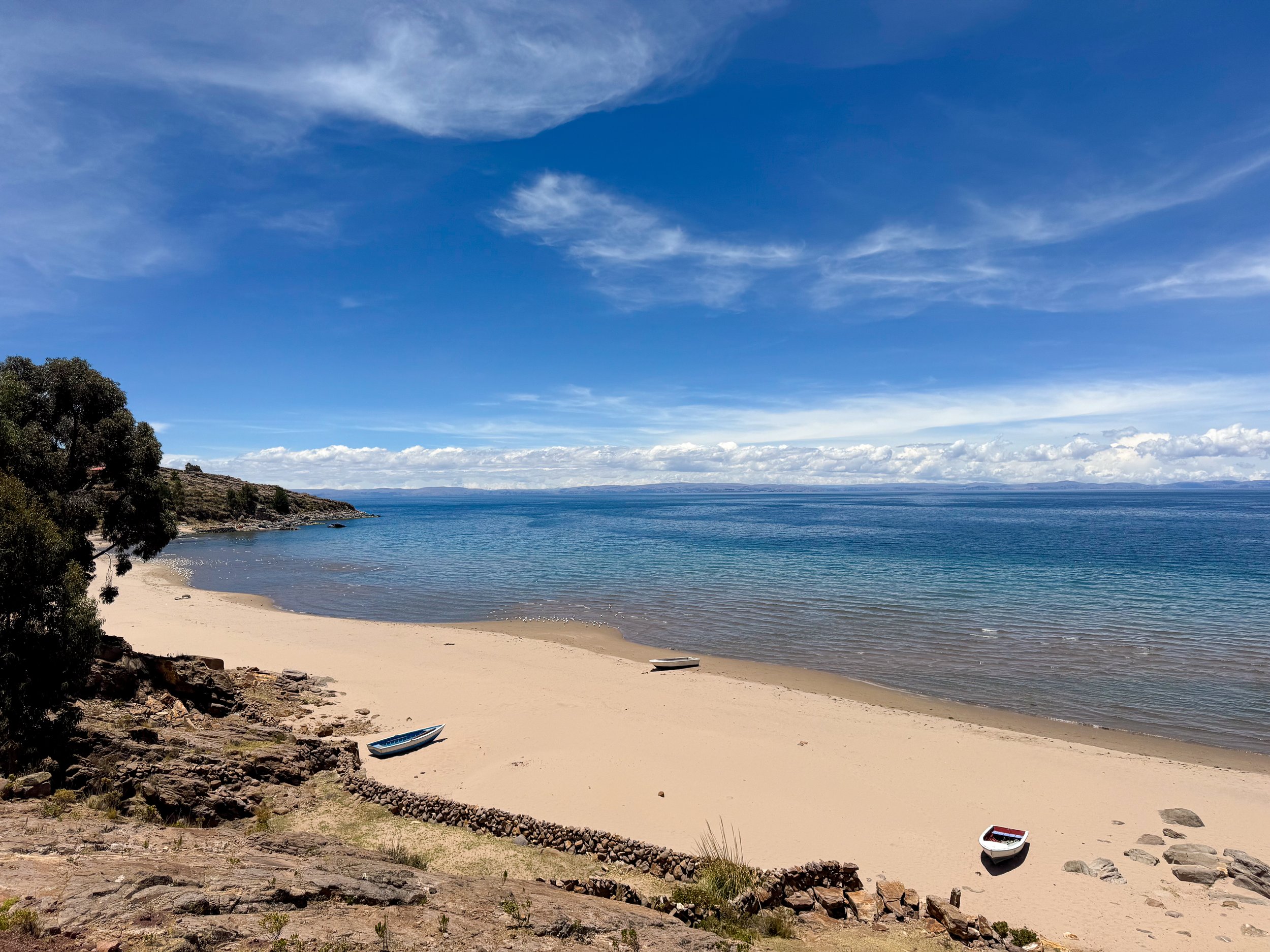
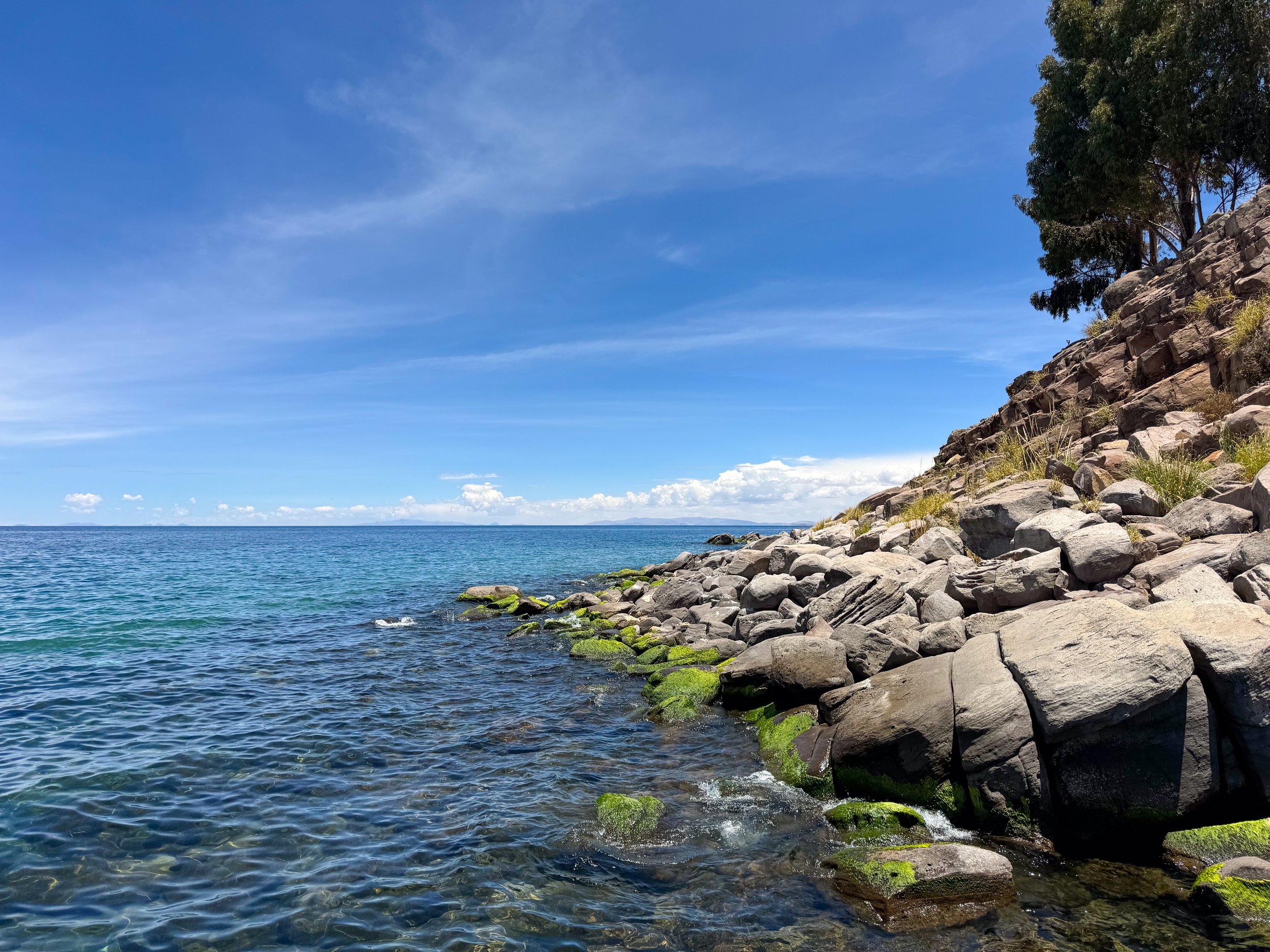
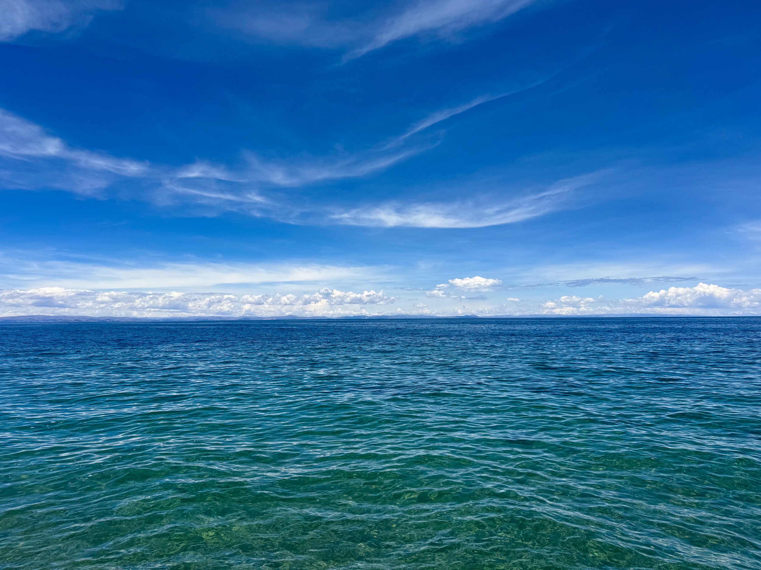
Isla Taquile, Peru
Taquile Island is an island on Lake Titicaca fully covered in agricultural terraces and internationally recognized for the cultural significance of their textiles. We took a half day tour to the island to explore its cuisine, textiles and landscape. Taquile Island is located 1 hour 30 minute by ferry from the Uros Islands with tours departing at 10am and retuning at 4pm.
The tour was simple, stopping on the island for a local lunch of pan fried trout, quinoa bread and quinoa soap. At the same time, we learned about the textiles and hats, primarily used to differentiate relationship status and mood. This was followed by a visit to an artisanal market with colorful and handmade woven items like hats, scarves, gloves, bracelets and bags.
Continuing, we walked along the island, overlooking agricultural terraces primarily used to grow potato, quinoa and corn. We passed walls of precariously stacked stones, pinkband yellow wildflowers used to make textile dyes and cliffs with views of the expansive lake.
Copacabana, Bolivia
Copacabana is a colorful Bolivian town located on the Eastern shores of Lake Titicaca. We spent an afternoon exploring the city, paddling around the lakefront and hiking to a mountaintop overlook.
While walking through town, women are seen dressed in traditional Andean attire selling fruits and veggies, friendly stray dogs run around and sleep in the streets, backpackers arrive and depart by bus regularly and cars receive blessings while being decorated with strings of flowers and bouquets.
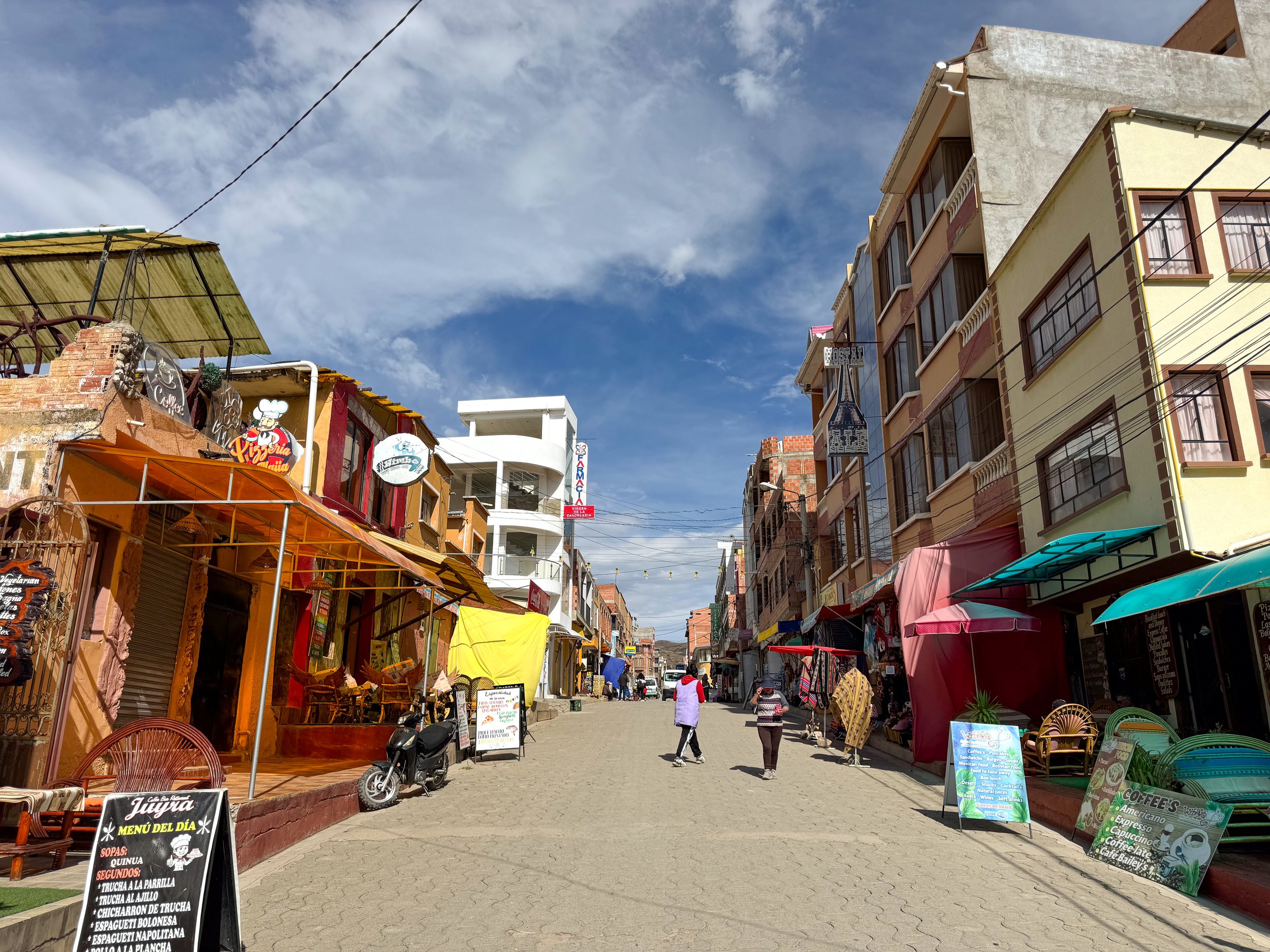
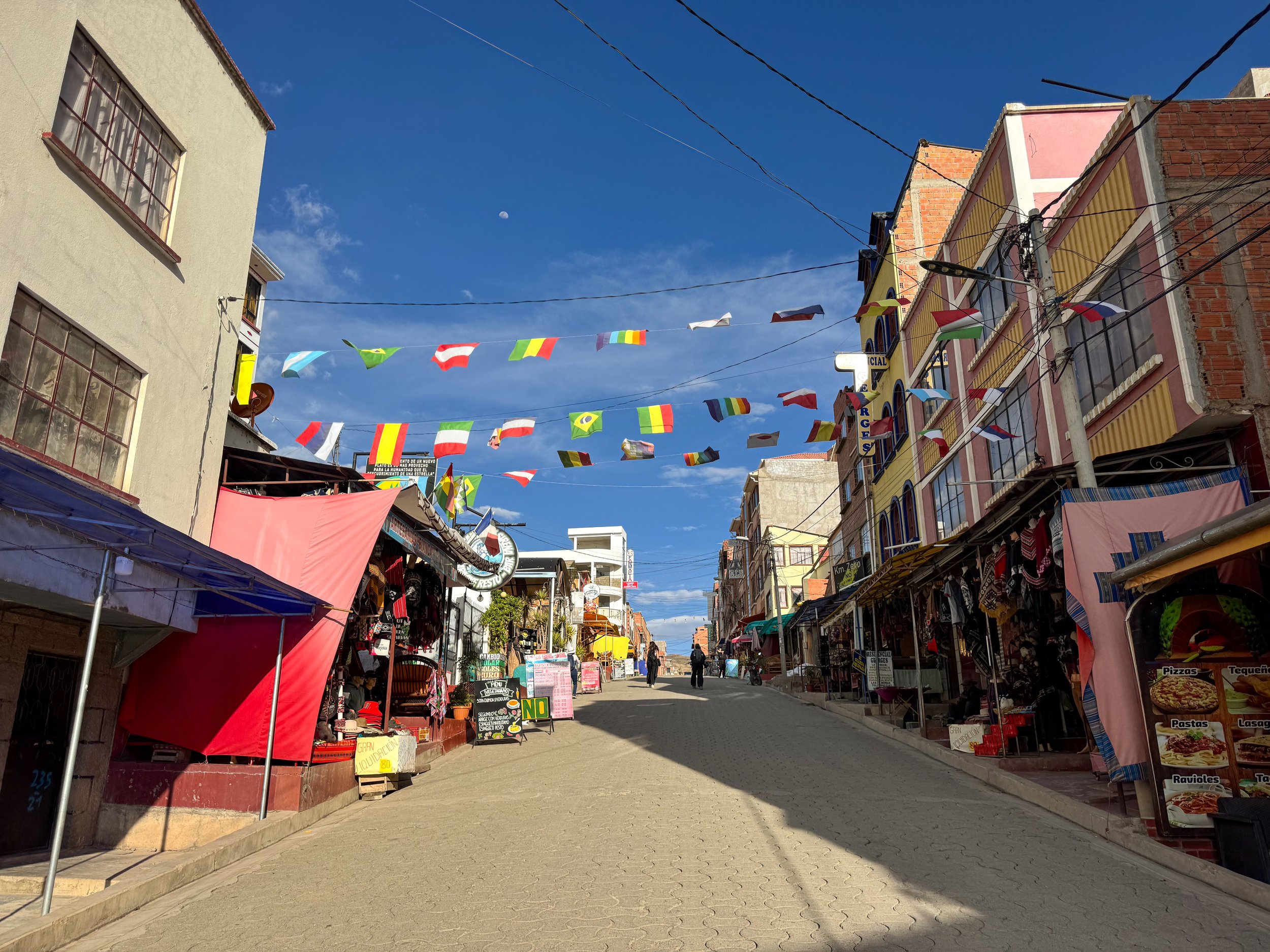
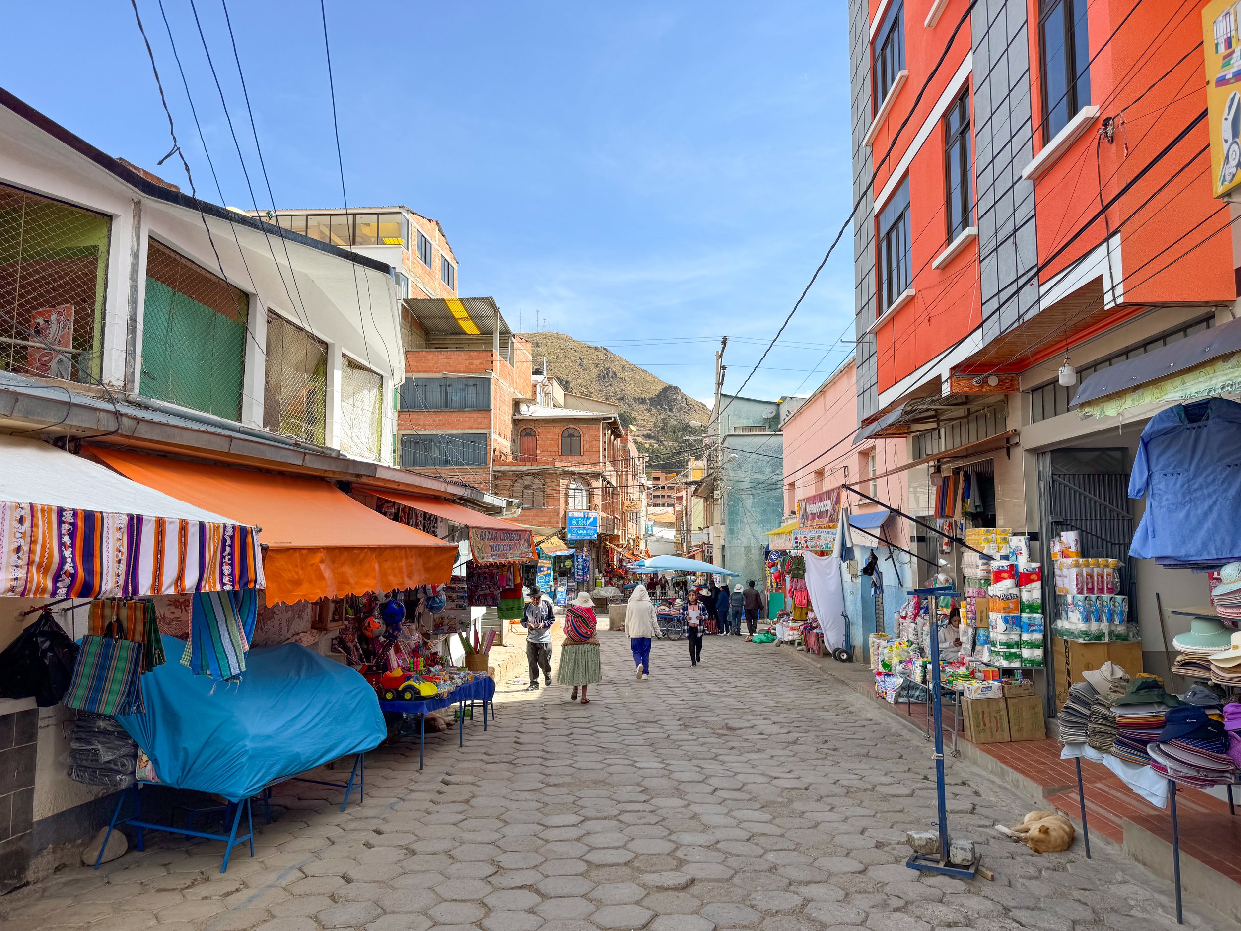
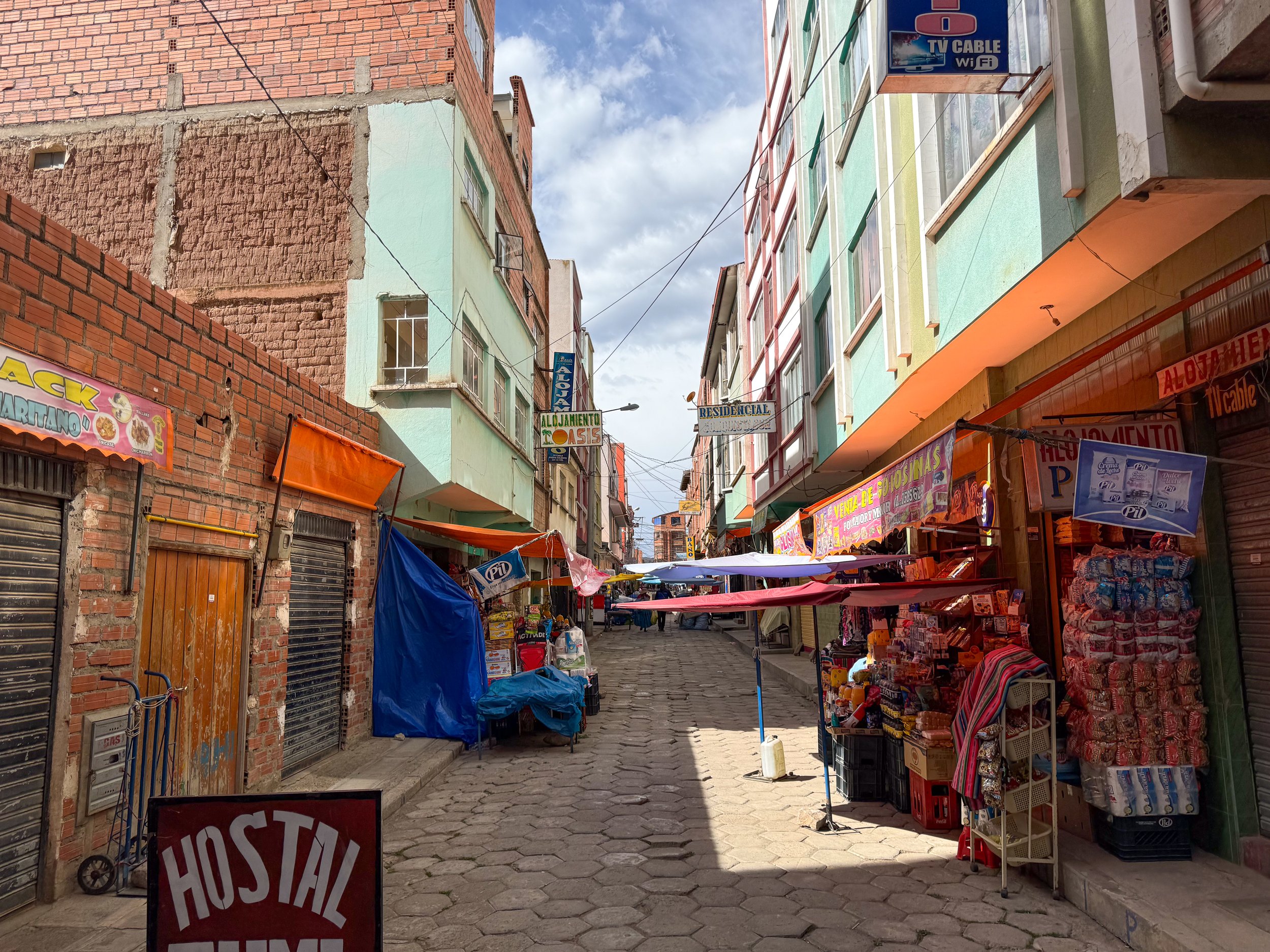
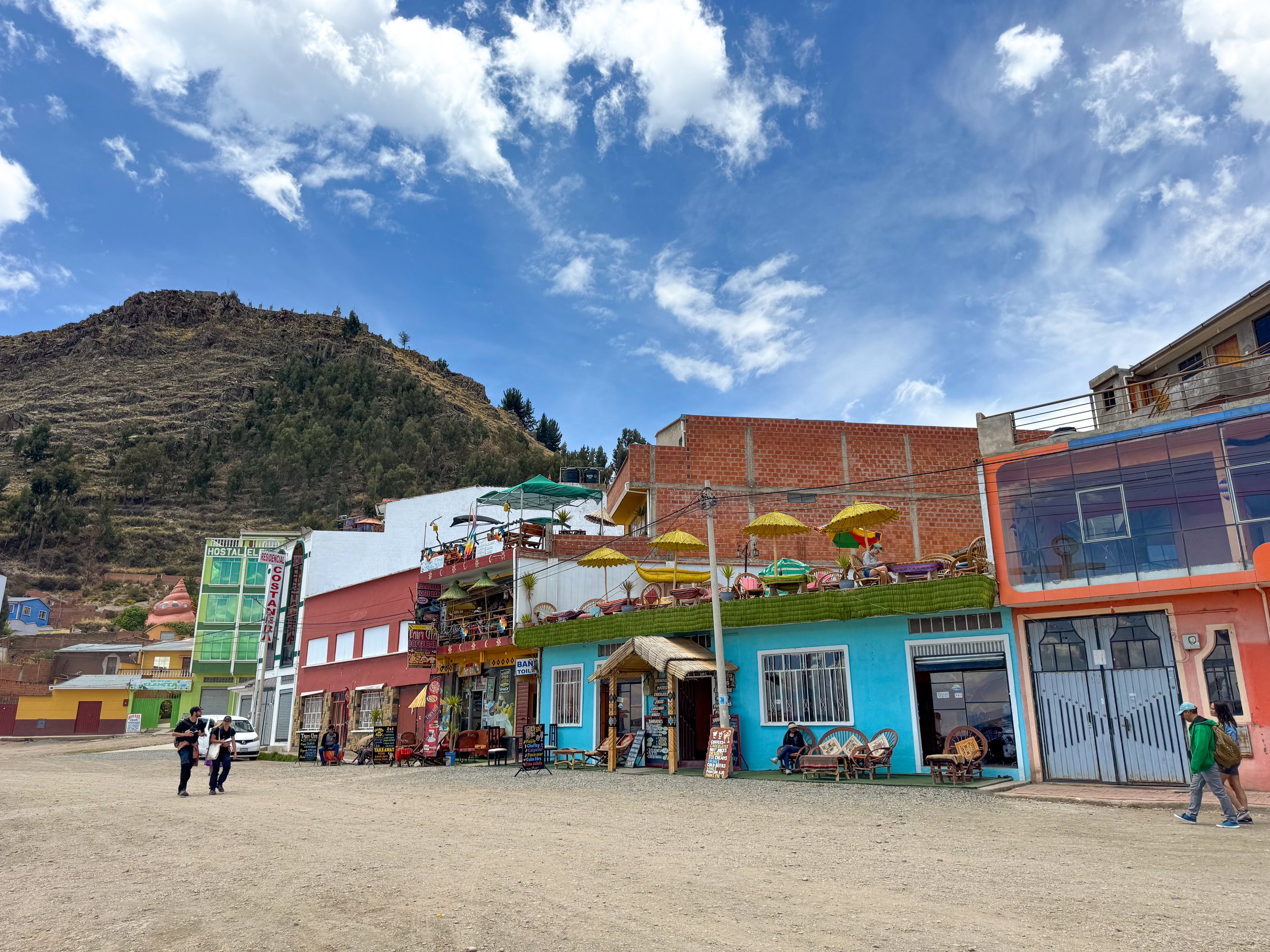
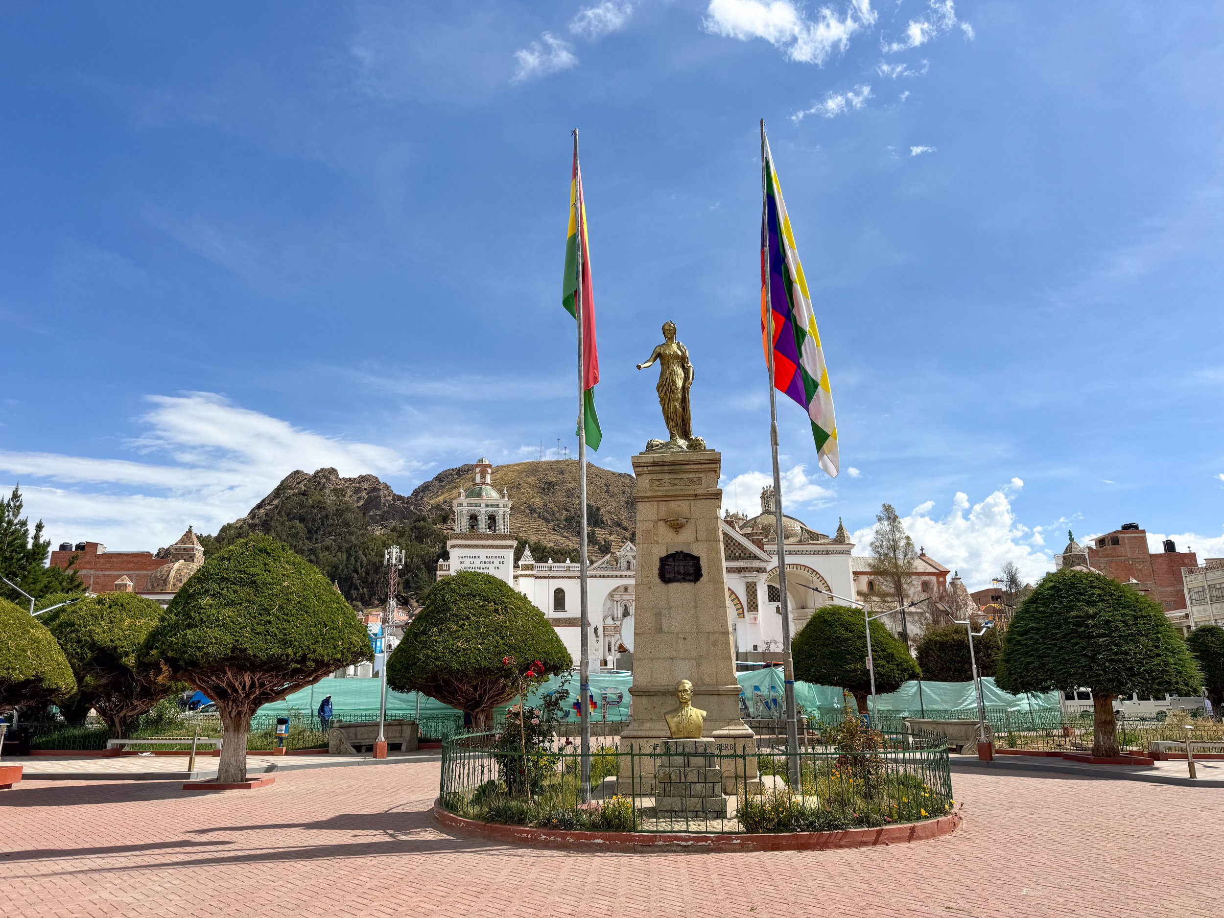
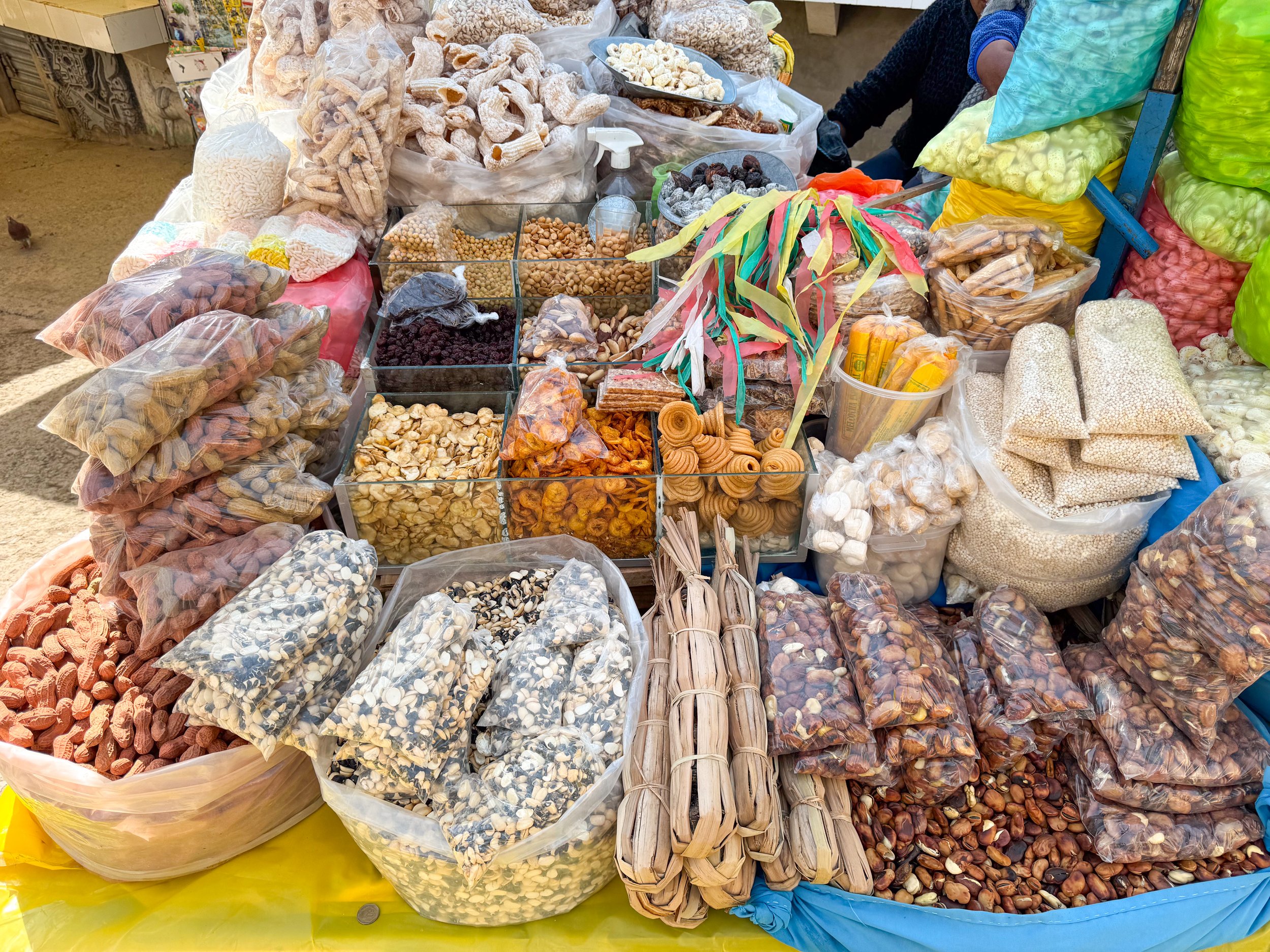
Around Town
Av. Costanera. A dirt road parallel to the city harbor with local food kiosks, hotels with lake front views, swan style paddle boats and companies selling tours to the nearby islands.
Av 6 de Augusto. The main road through Copacabana with hostels, cafes, bars, restaurants, money exchanges, tour operators and souvenir shops. Many restaurants offer 2x1 happy hours and have simple menus consisting of lake trout, pizza and pasta.
Al Paseo de Las Pasancallas. A market street with local vendors selling dry goods like peanuts, roasted beans, quinoa, puffed grains, popcorn and candies.
Copacabana Square / Plaza 2 de Febrero. The central town square with a red brick plaza and well manicured trees in front of the Basílica de la Virgen de Copacabana.
Basilica of Our Lady of Copacabana. A historic cathedral with a white painted exterior accented with Portuguese tiled moldings and bell towers.
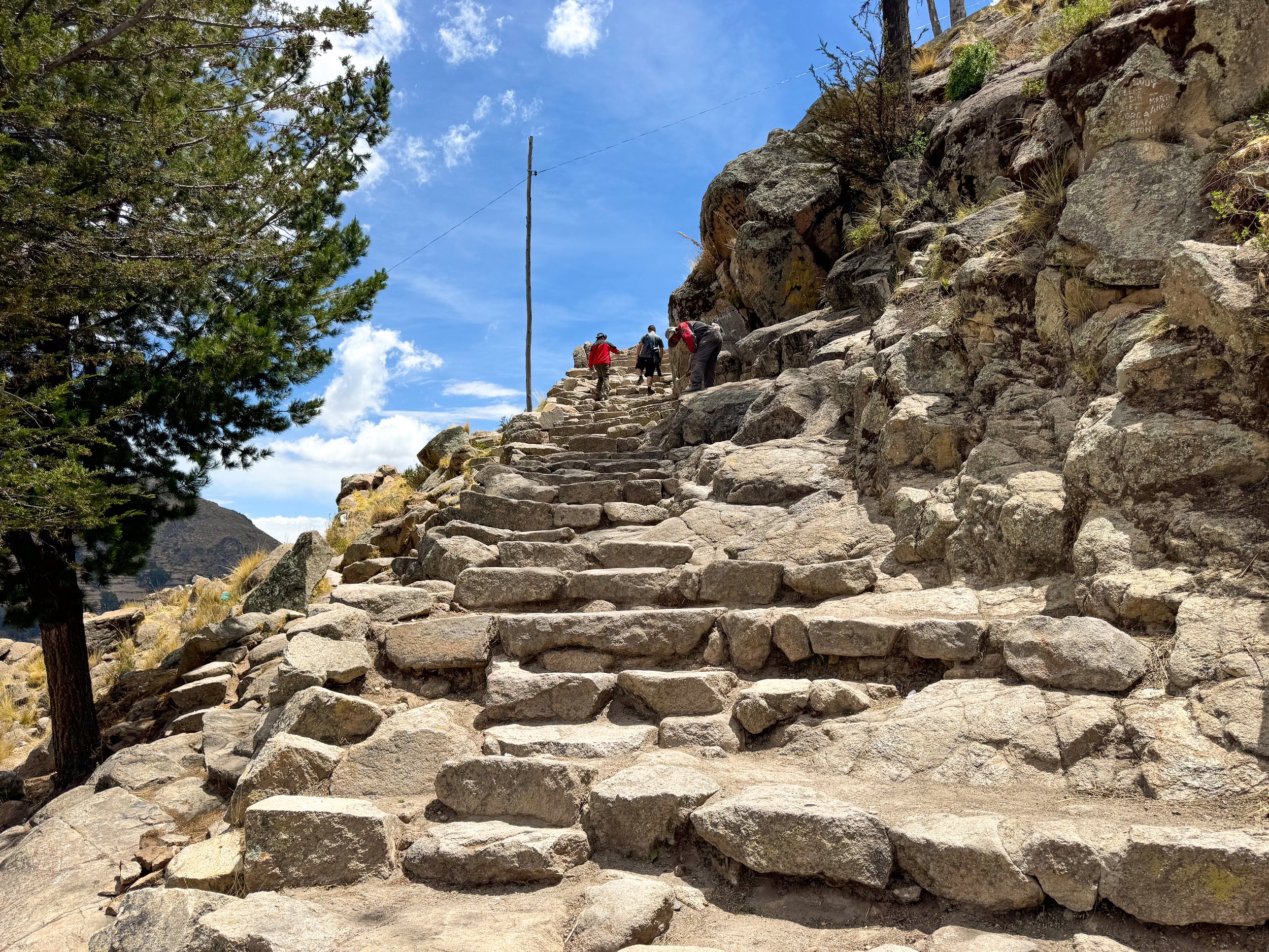
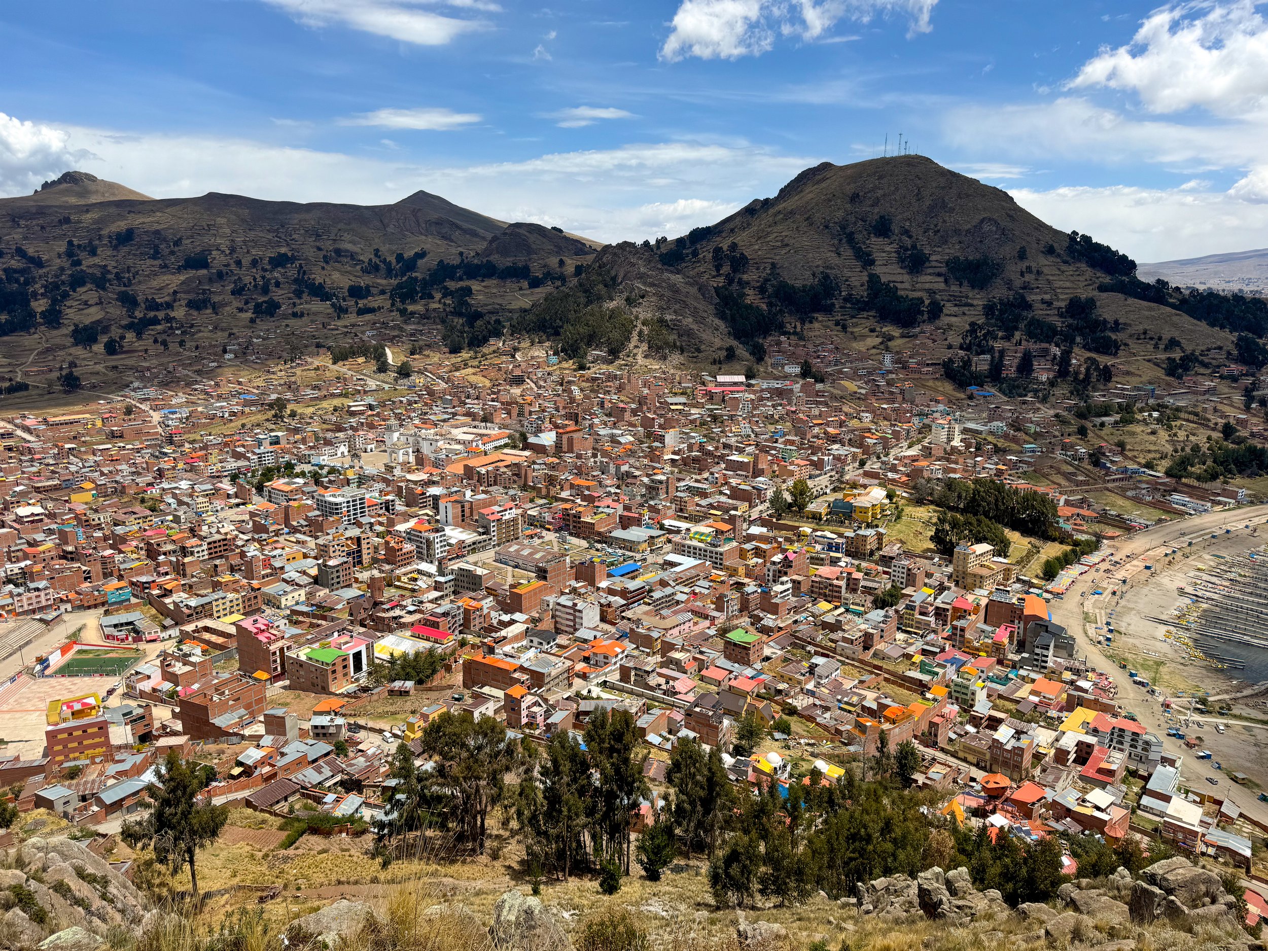
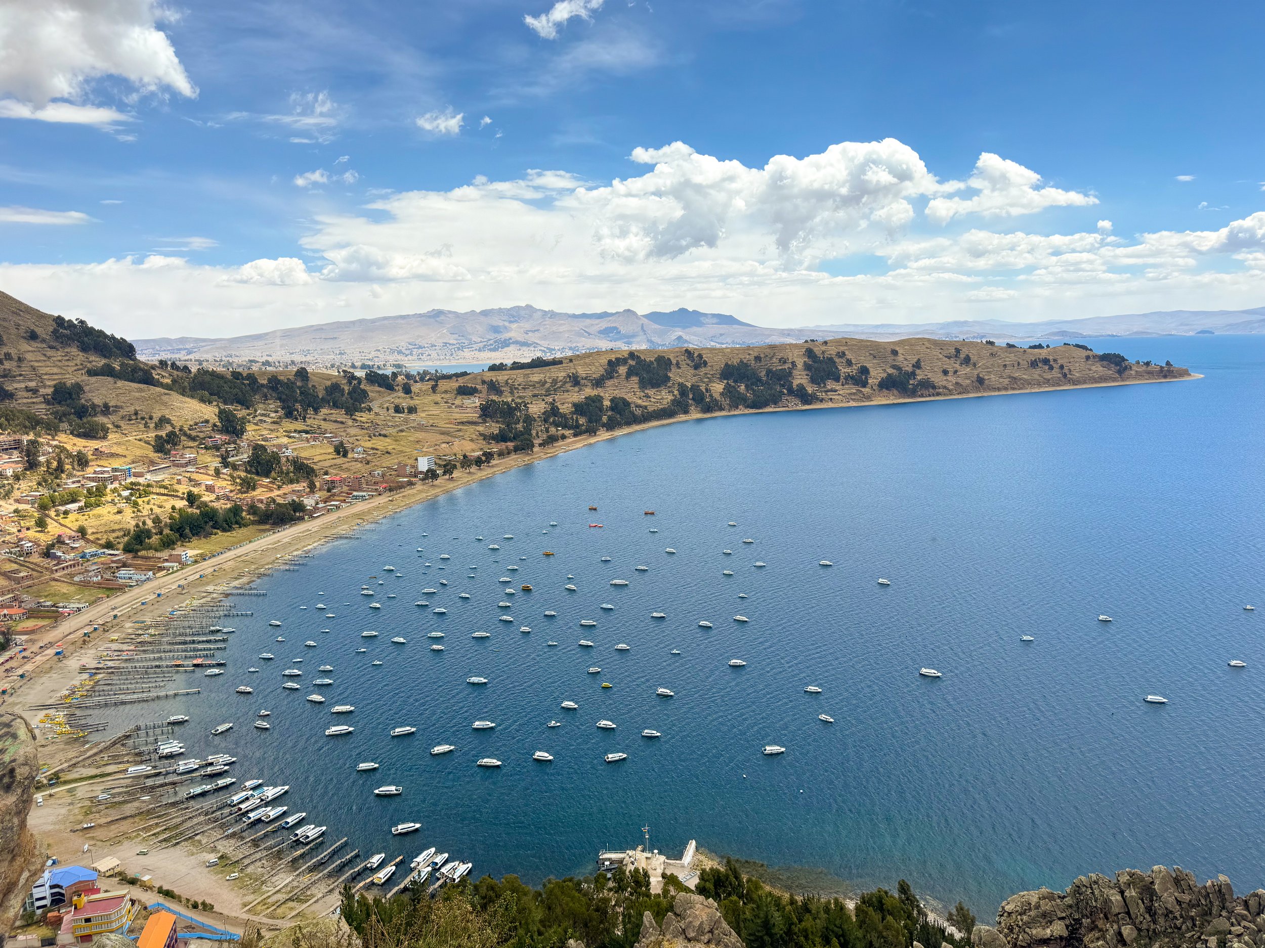
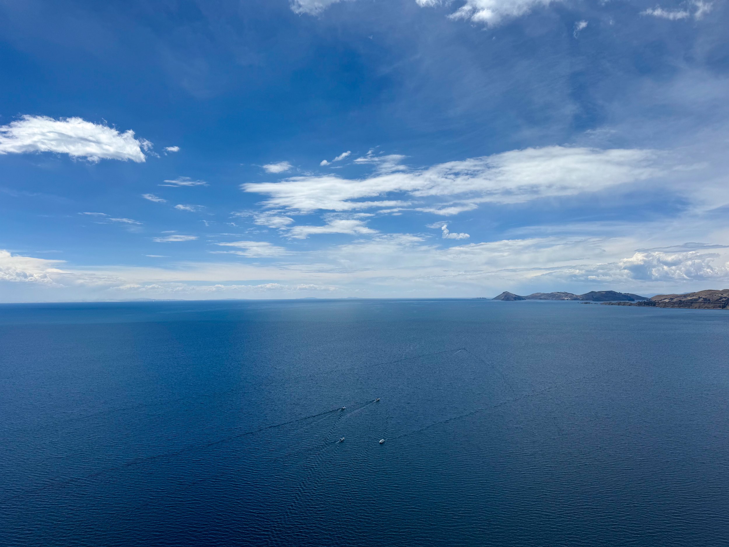
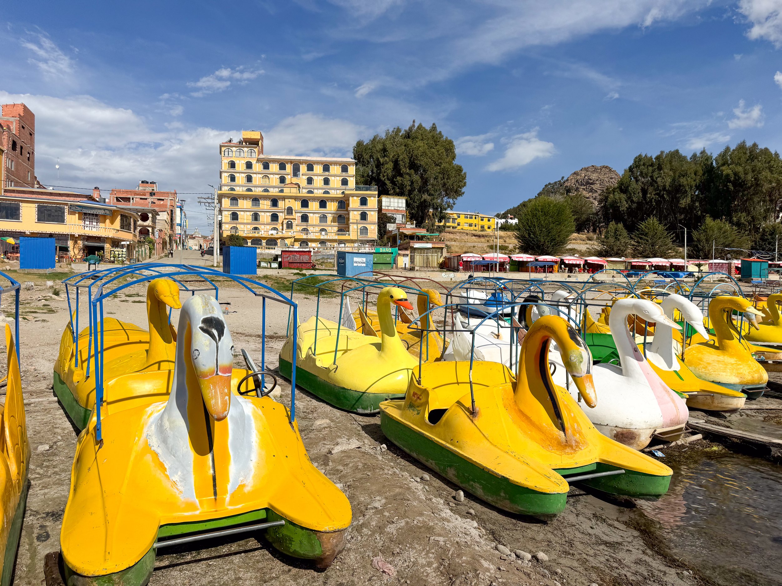
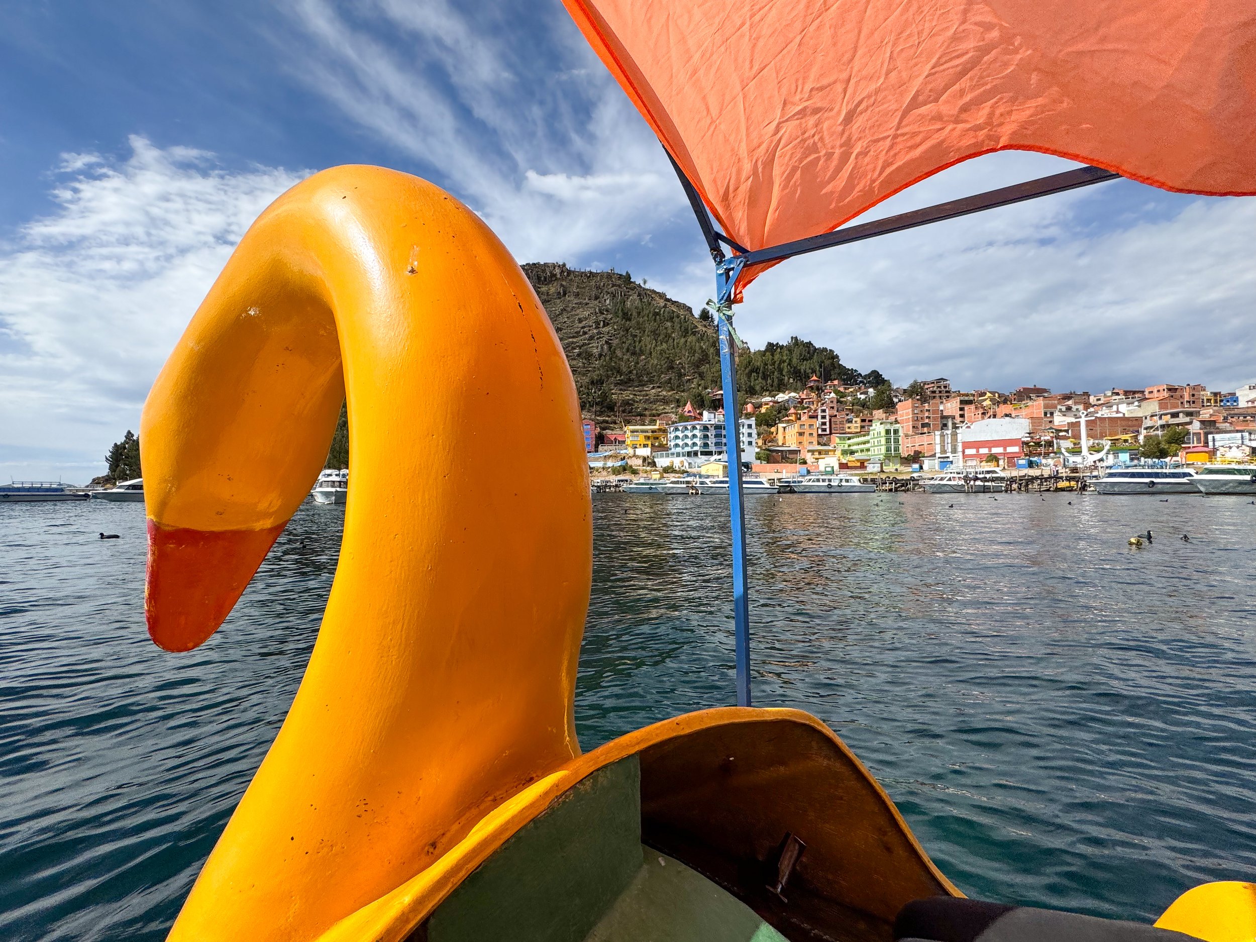
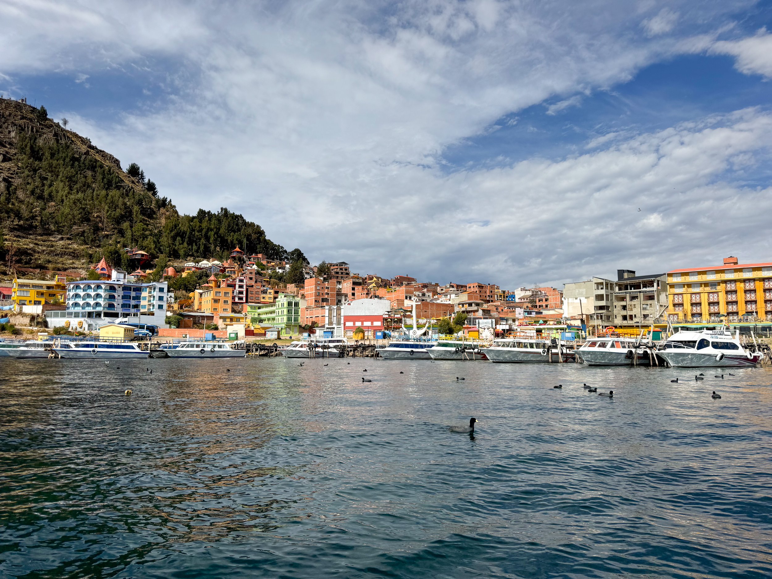
Things to Do
Hike Cerro El Calvario. A steep hike up rocky steps to a mountaintop lookout with views of Copacabana. From the summit, the clay tiled walls, colorful tin roofs and vibrantly painted facades of buildings of the city quickly blur into the countryside. Along shore, fishing boats and tour ships are moored along throughout the crescent shaped harbor while the expansive blue lake stretches far across the horizon.
Rent A Paddle Boat. Rent a yellow duck paddle boat and float around the harbor for half an hour, looking back at the colorful city and mountains as the gentle waves rock the boat from side to side.
Where to Eat, Drink & Sleep
Hostal La Cúpula. A hotel on the hill overlooking Copacabana with dome shaped buildings and flowering gardens. We came here for lunch at their restaurant, El Condor & The Eagle Cafe, a relaxing spot with a small dining room and outdoor patio with views of the city and harbor. The menu offers sandwiches and salads.
Hostal Las Olas. A one of a kind hotel with organic shell shaped architecture, tree houses, curved walls and colored glass windows on the hill overlooking Copacabana. Though we didn’t stay here, we stopped to admire the property.
Winay Marka. A restaurant and bar with a rooftop overlooking Lake Titicaca and the harbor. A relaxing atmosphere to enjoy a cocktail with Reggae vibes and natural decor like wicker furniture, Bolivian textile cushions and totora umbrellas.
Nimbo Cafe Restaurant. A family run restaurant along Av 6 de Augusto with happy hour cocktails and a large range of pizzas.
Good to Know
The Climate. The climate is cool year round with slightly warmer temperatures during the day and freezing temperatures at night. It’s dry most of the year except for the rainy season from January to March.
Getting Here. The best way to reach the Uros Islands is by traveling to city of Puno, from either Cusco or Arequipa by bus. The best way to reach Copacabana is from Puno or La Paz by bus. We took the Peru Hop bus on our journey around Lake Titicaca.
For Next Time…
Since we only spent a day exploring the city in route to La Paz, we had little time to visit the nearby Incan Islands.
Isla del Sol. A sacred island on Lake Titicaca with dozens of Incan temple ruins, a terraced landscape and numerous home stays. The Incan’s believed the sun god originated from here.
Isla del Luna. A small island with a terraced landscape and the ruins of a temple.
The Brazilian Amazon
The Brazilian Amazon is a vast rainforest covering Northern Brazil and a large area of the South American continent. It’s home to the Amazon Rainforest and River, an immense amount of biodiversity and wildlife, indigenous tribes, eco-activities, river cruises and millions of people.
Amazon Rainforest
The Brazilian Amazon is a vast rainforest covering Northern Brazil and a large area of the South American continent. It’s home to the Amazon Rainforest and River, an immense amount of biodiversity and wildlife, indigenous tribes, eco-activities, river cruises and millions of people. We spent over a week in the region, splitting our time between a multi night river boat tour and in the city of Manaus.
River Cruise
We booked a four day, three night river boat tour of the Amazon and Rio Negro from Manaus. We cruised up and down the river, stopping at various white sand beaches to swim in the piranha infested waters and with pink river dolphins. By day, our guide brought us hiking and camping in the rainforest, to cooling cold springs, on a tour of an indigenous village, fishing for piranha and searching for caiman. At night, we slept in woven hammocks stretching across the upper deck of the wooden river boat. All meals were included, including several Amazonian fish dishes and fruit juices.
Amazonian Rivers
We visited two Amazonian rivers on our tour. The mighty Amazon River, its largest tributary, The Rio Negro and the location where both rivers meet.
The Amazon River. The world’s largest river, winding 4,000 miles across South America. Its muddy brown waters are a lifeline to the Amazon Rainforest, its biodiversity and indigenous communities.
The Rio Negro. The largest tributary feeding the Amazon River named after its dark colored water. By volume, it’s one of the largest rivers in the world.
The Meeting Waters. The location where the milky brown water of The Amazon River and dark brown waters of the Rio Negro meet.
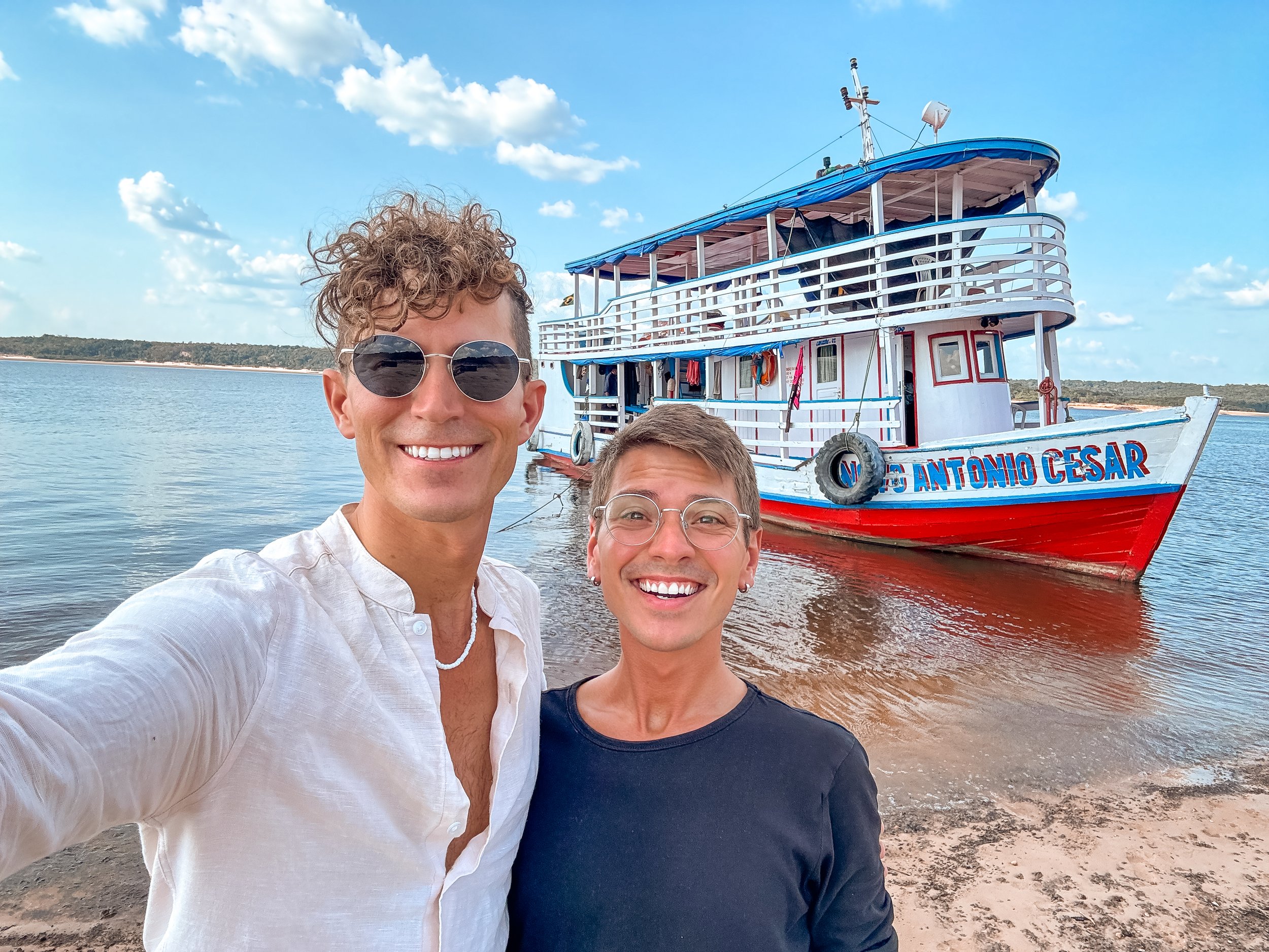
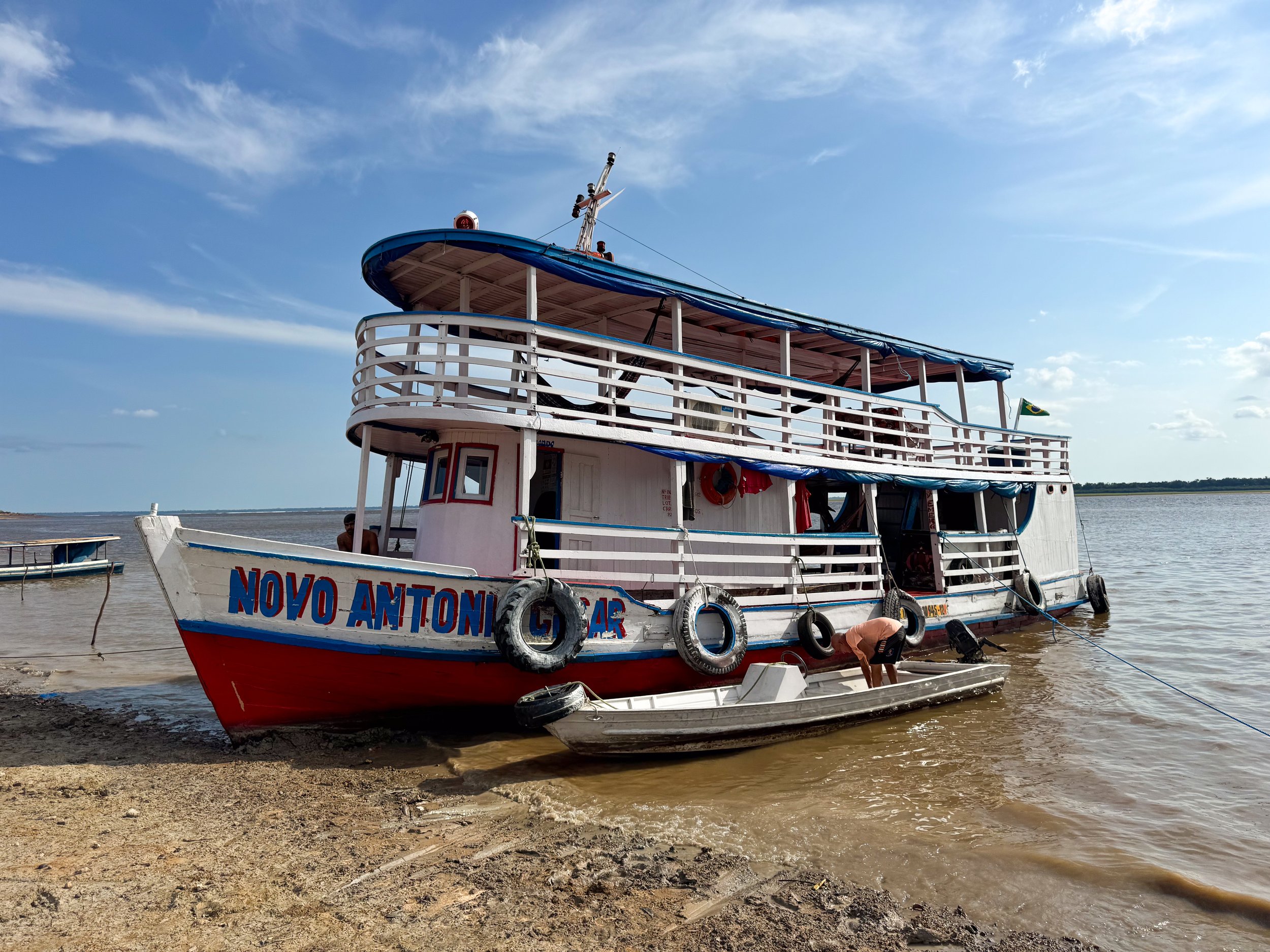
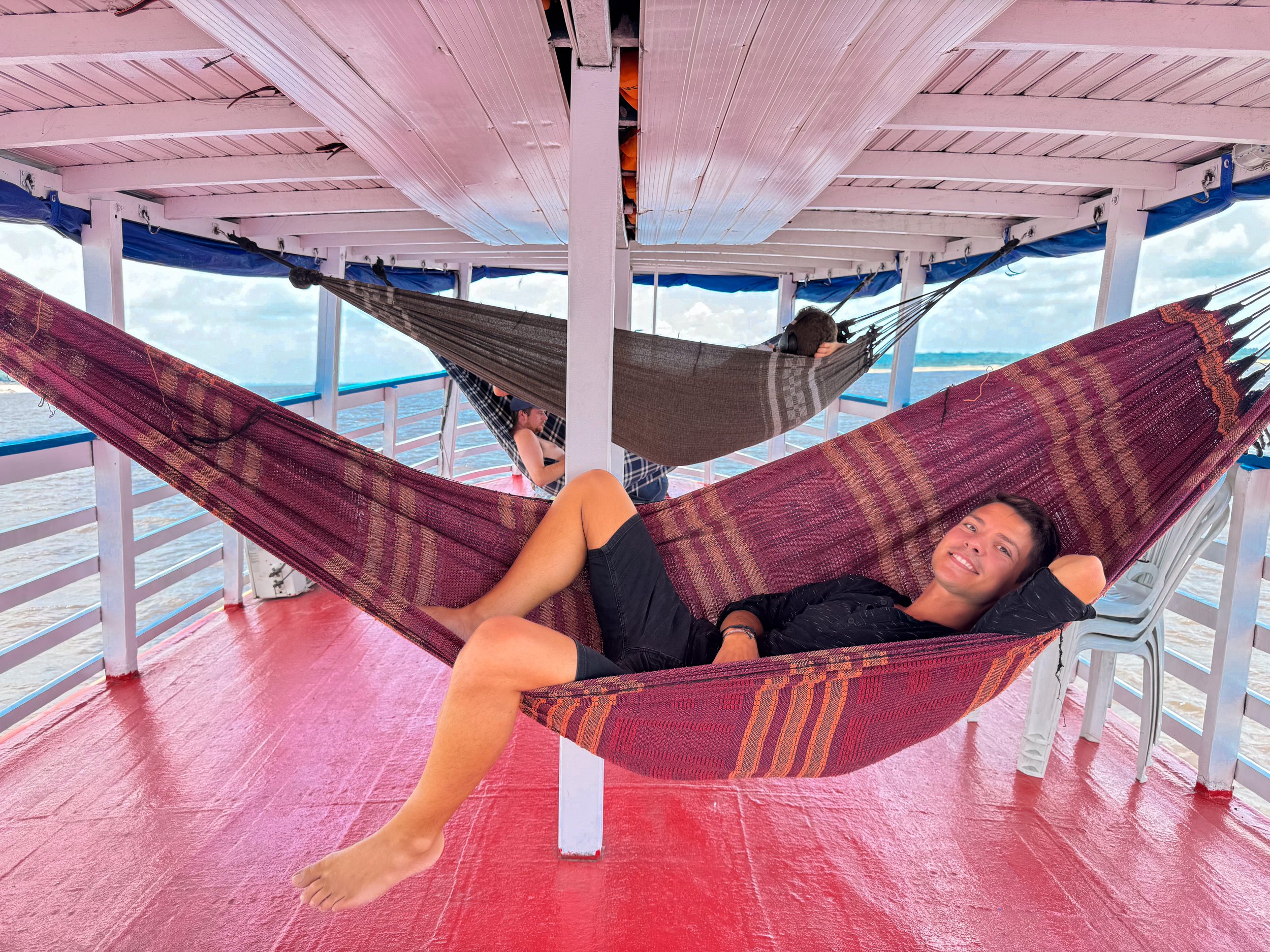
Day One
We spent our first day in the Amazon on the Rio Negro and our first night, sleeping in a hammock within the jungle.
At the Manaus Harbor, we boarded a speed boat and navigated through a storm and choppy water along the Rio Negro to reach The Meeting Waters where we floated between both rivers. We retuned to Manaus where we refueled, stocked up on groceries and ate breakfast at a floating gas station before continuing up river. From the bow of the boat, the Rio Negro stretched far over the horizon. Along its banks were surprisingly white sand beaches, dense tree lines and the occasional river boat, eventually including ours. Arriving at the boat, the crew welcomed us on board and showed us to the upper deck where we would be sleeping in hammocks for the following nights. We relaxed for the afternoon, enjoying fried pirarucu and cashew juice for lunch.
Late in the afternoon, we packed an overnight bag with our hammocks and were led ashore and into the jungle by our guide. Along the trail, he stopped to point out Amazonian fruits, medicinal plants, poisonous spiders and demonstrated how the rubber tree is processed. As night fell, we made camp under a small hut, hung our hammocks and ate fried piranha for dinner. While lying in our hammocks, the noise of the jungle kept us awake for some time. We listened to the roar of howler monkeys, chirps of crickets, croaks of frogs, squawks of birds and hum of cicadas fill the air.
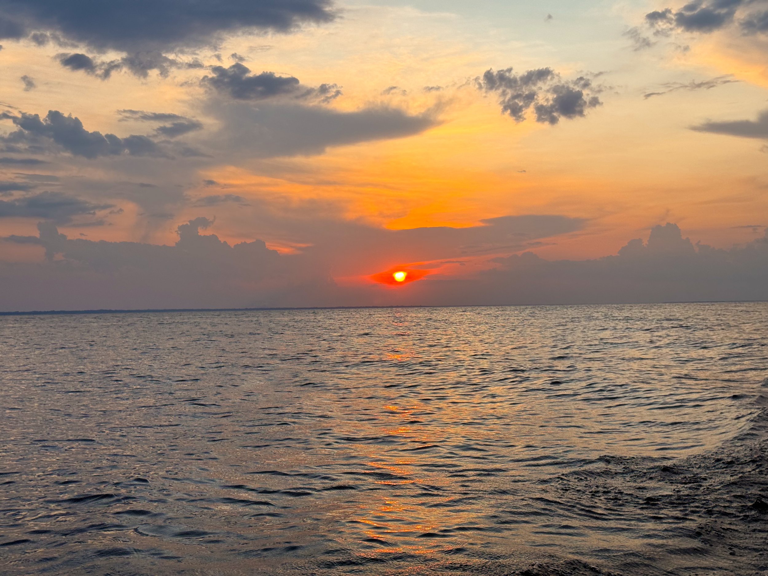
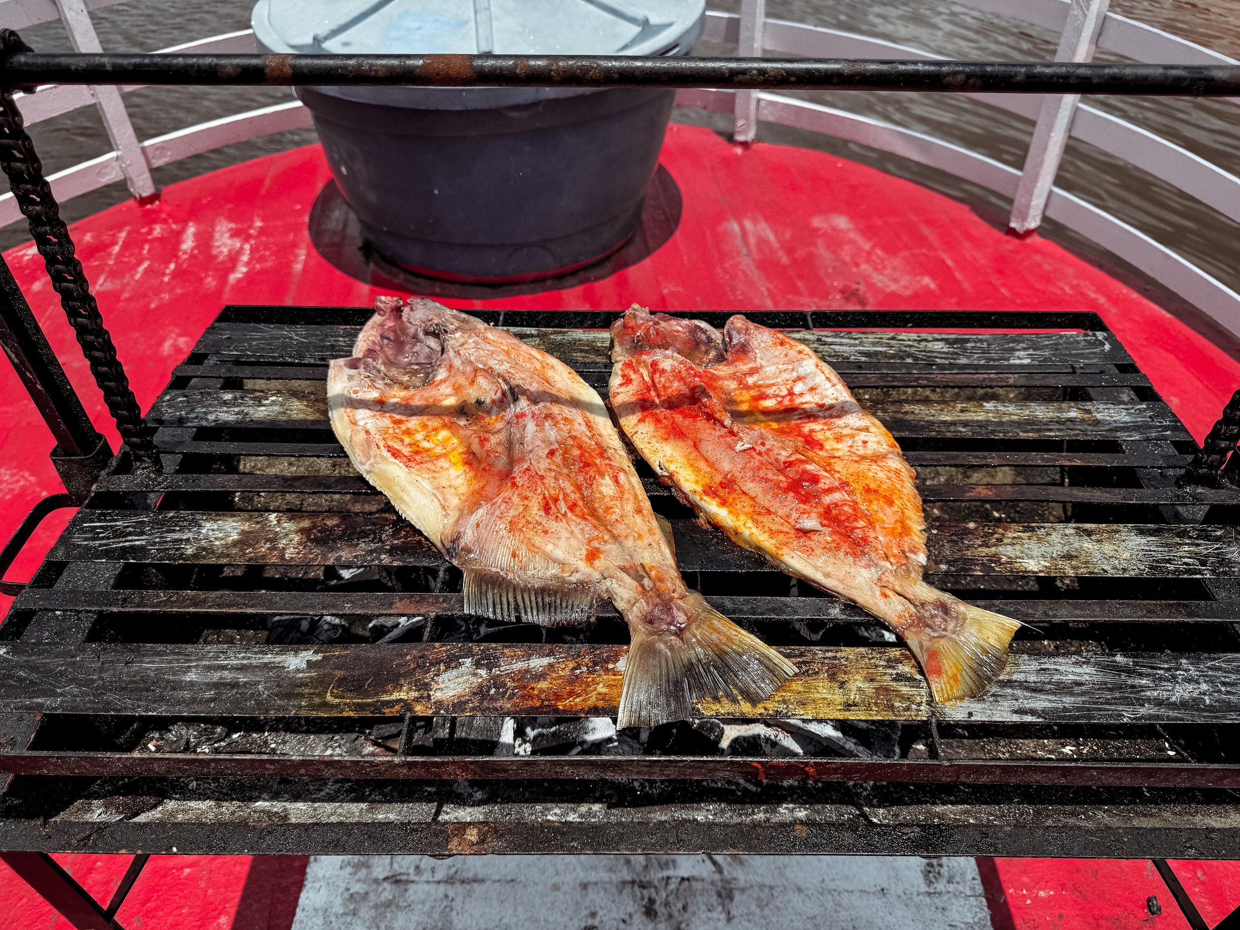
Day Two
We spent our second day in the Amazon swimming in the Rio Negro, relaxing in our hammocks and cooling off in cold stream.
After our night in the jungle, we retuned to the river boat for eggs, tropical fruits and avocado juice. While eating, we cruised down river and moored at white sand beach. We spent the morning here sunbathing on shore, spotting dolphins and swimming in the warm waters of the Rio Negro. As we swam, little fish nibbled at our toes, thankfully not a school of piranha! For lunch, the crew grilled fish, tambaqui de banda, an Amazonian staple. We spent the afternoon on board, feasting on the meal, sipping on Brazilian beer and relaxing in our hammocks.
As the late afternoon heat peaked, our guide brought us ashore to bathe in a cold stream at the base of the indigenous Tatuyo Village, which translates to “Big Snake.” In the village, we visited an indigenous friend of our guide, who invited us into his palm thatched home for coffee. At sunset, we made our way back to the boat, meeting the village Shaman along the way. He invited us back to the village the next morning for a ceremonial ritual.
After sunset and dinner, we laid in our hammocks, reminiscing on the day as the gentle waves rocked the boat and us to sleep.
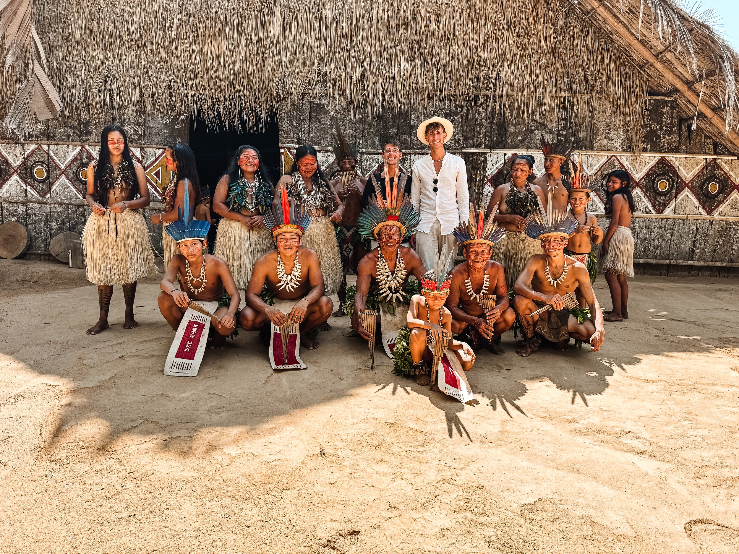
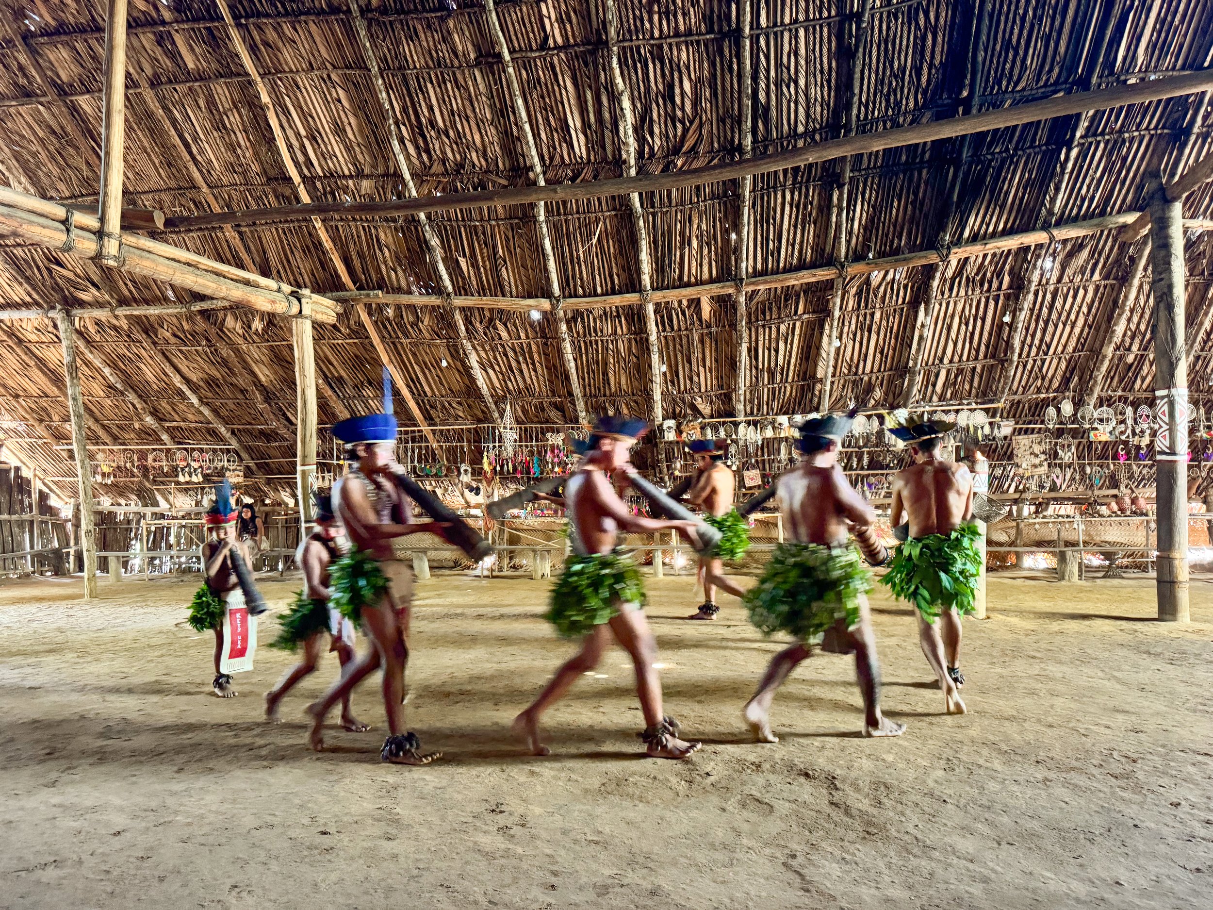
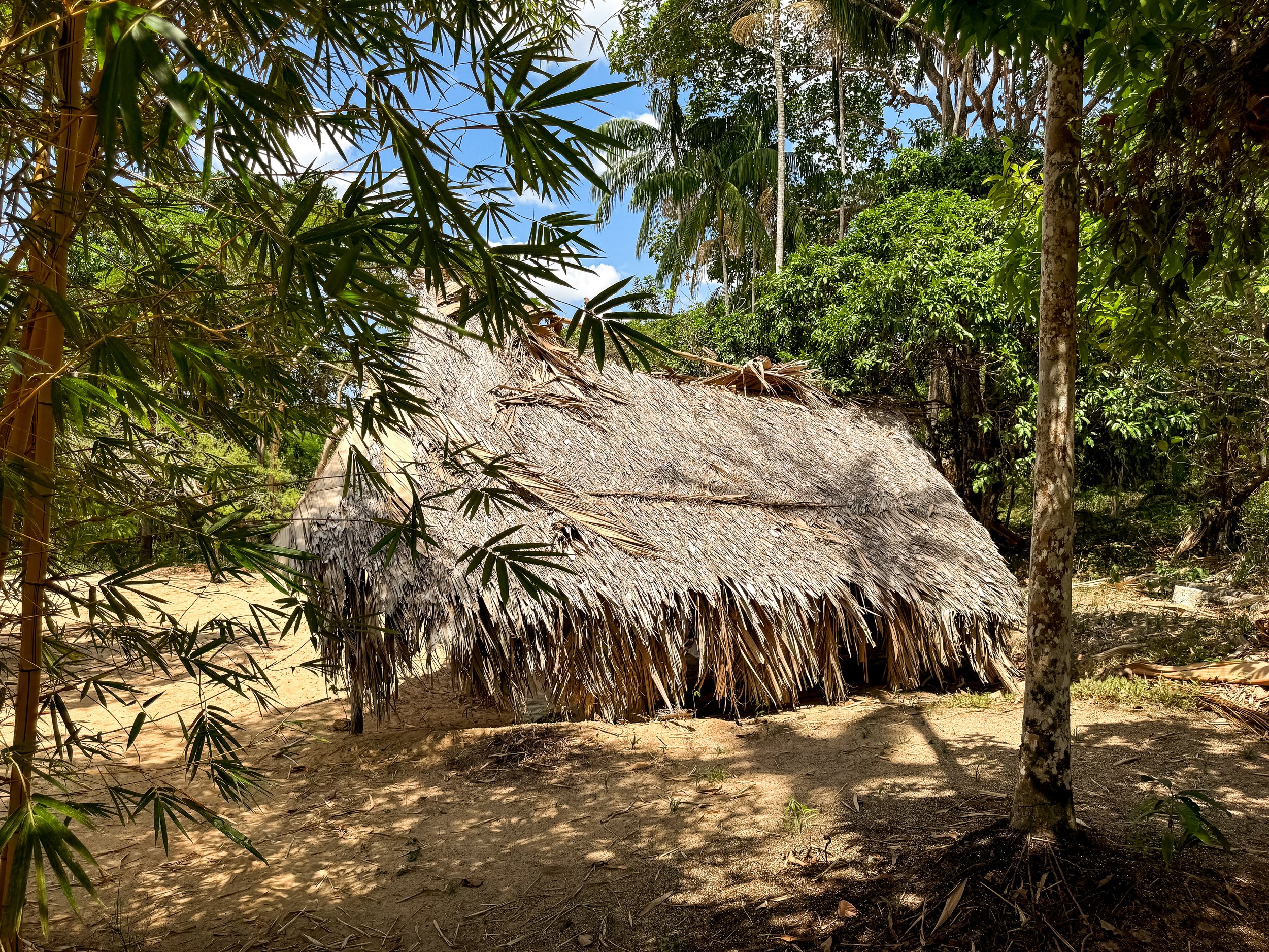
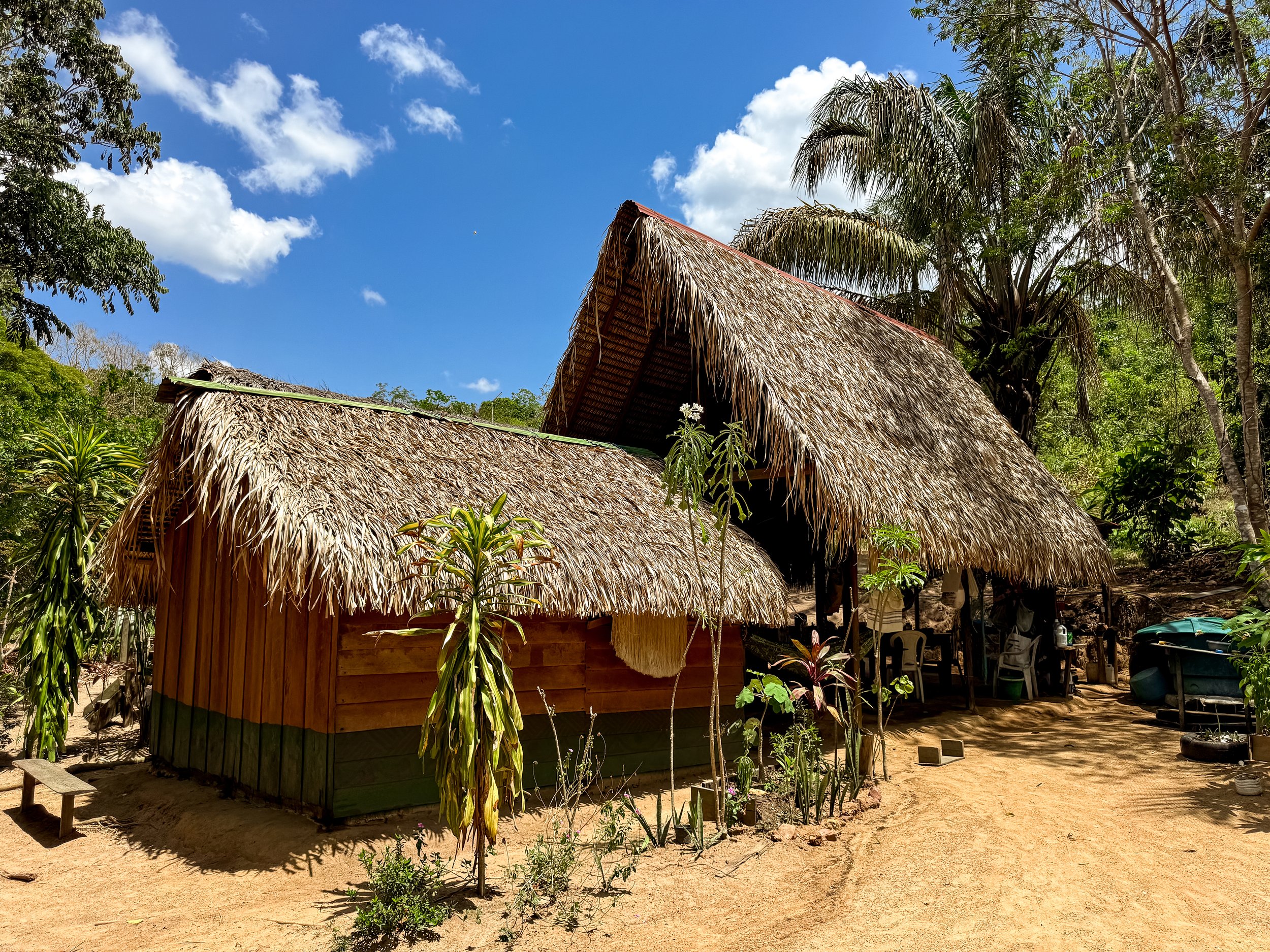
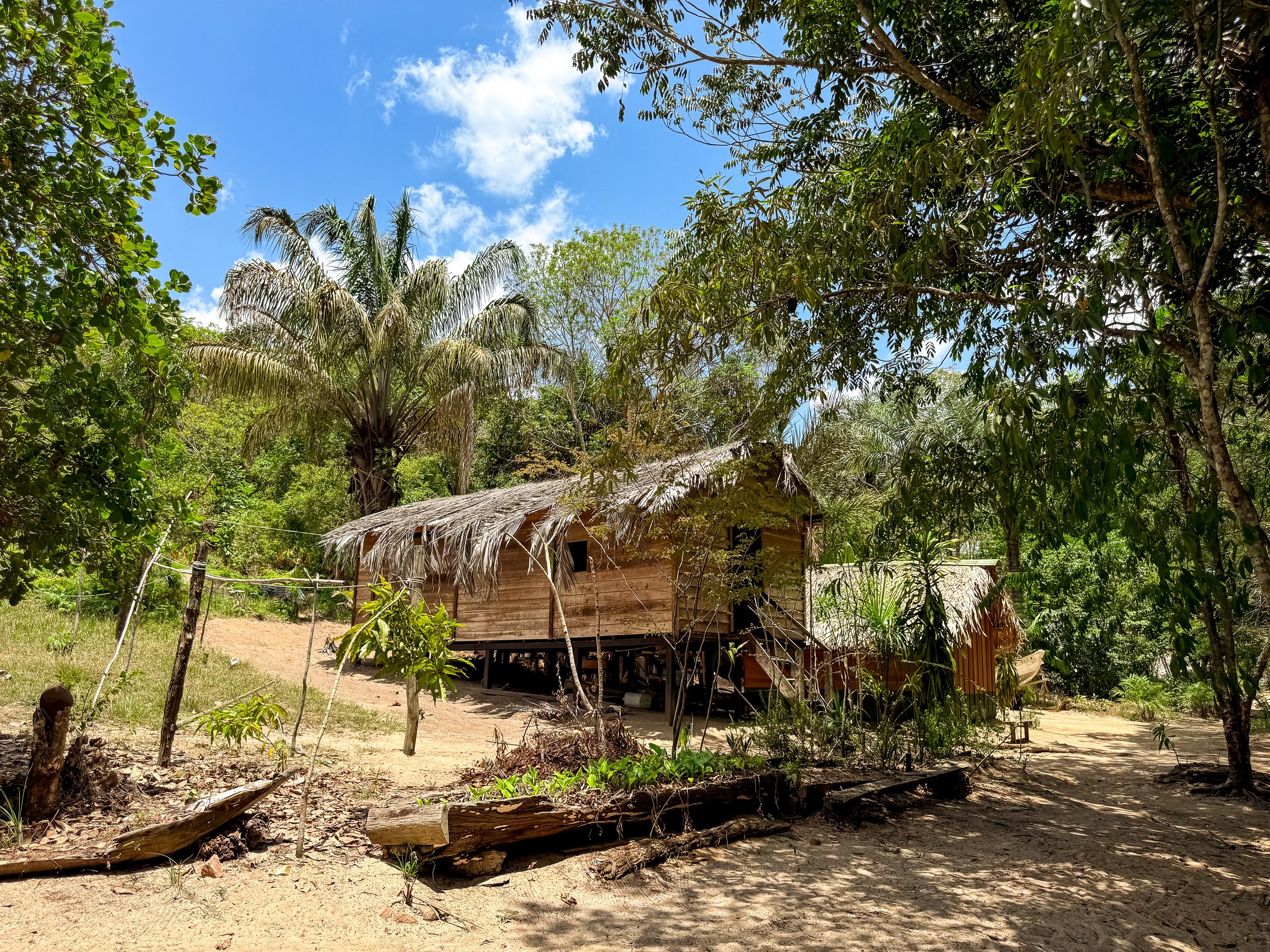
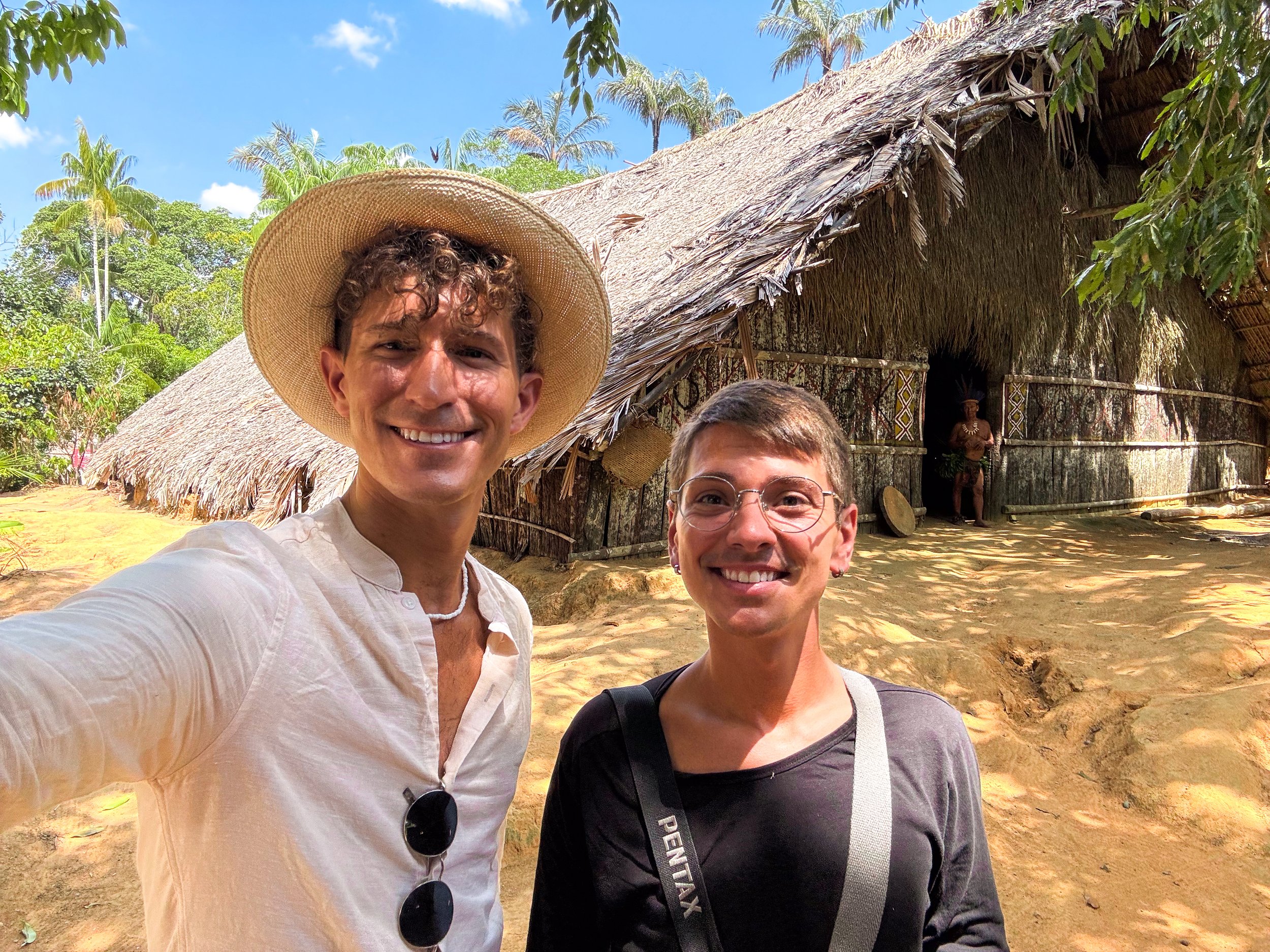
Day Three
We spent our third day in the Amazon at the indigenous village of Tatuyo for a ritual ceremony, bathing in a cold spring, fishing for piranha and spotting caiman.
As dawn broke, we woke up to warmth of the sun hitting our hammocks and met the crew downstairs for breakfast. Once we finished eating, we retuned to the Village of Tatuyo for the ceremonial ritual. The shaman and several others, dressed in ceremonial attire, greeted us at a large palm thatched pavilion with wooden walls painted in a snake like pattern. Women wore large feather earrings that covered their breasts, açaí bead necklaces and grass skirts. Men wore feather headpieces, caiman and jaguar teeth necklaces and skirts made of leaves. All of which had red painted patterns on their faces similar to the ones on the walls of the pavilion.
The shaman explained the ritual and ceremonial dances they were going to share with us. Each symbolized and important moment in a person’s life while the final dance is used for general celebrations. Led by two women, we were able to participate in the latter. Each dance was unique, involving different flute like musical instruments, songs and choreography. The group danced in circular, spiral and figure eight patterns as the smell on incense filled the pavilion.
Once the ritual ceremony had completed, we met our guide’s friend who showed us a cold spring where we bathed in the refreshingly cool water. After cooling off, we retuned to the boat for lunch and to hike along the river bank listening to macaws and howler monkeys in the jungle.
Near sunset, we cruised to a cove to fish for piranha! Using bamboo poles baited with meat, we splashed them around in the water to attract piranha. Within seconds one would bite, often tearing off the bait. Luckily our guide caught several piranha which the crew fried in farina for dinner.
After dark, we took the speedboat to look for caiman, shining a light along the shoreline looking for the glow of their eyes. The light attracted tiny fish that jumped out of the water, one landing in my lap (thankfully not a piranha). Within moments, we spotted a caiman lurking in the shallows. After a very full day, we returned to the riverboat and fell asleep of on deck in our hammocks.
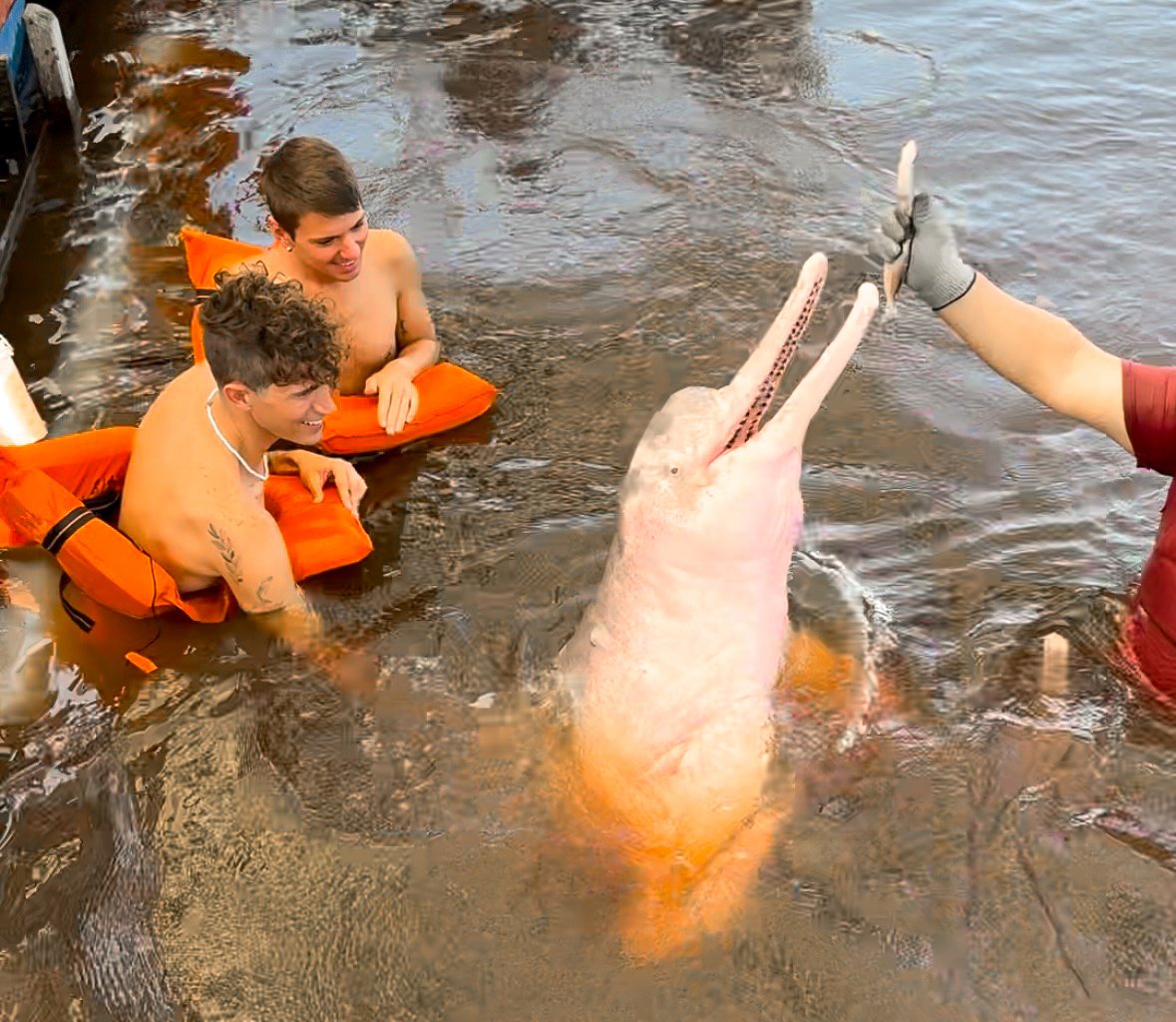
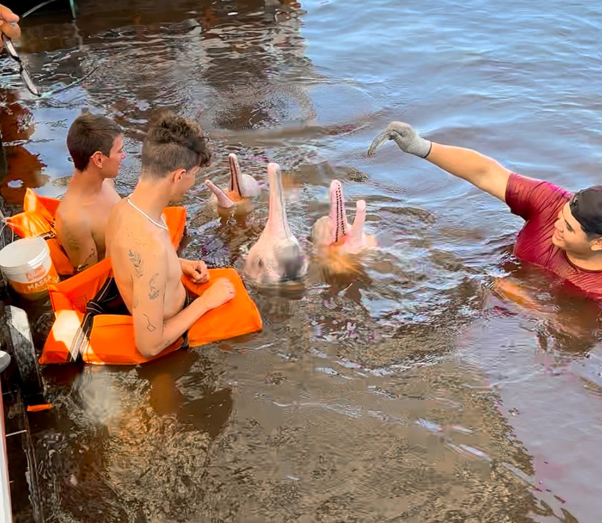

Day Four
We spent our fourth day in the Amazon swimming with pink river dolphins and relaxing at a beach before retuning to Manaus.
We woke up to breakfast with fresh fruit and tapioquinha while watching pink river dolphins swim around the boat. In a nearby cove, we watched as a handler fed the dolphins fish. Up close, we could admire them in detail. They have pink skin with grey splotches, long mouths lined with rows of nail like teeth and a wide upper fin. In the water, the dolphins swam around our legs, poked their heads up and swam off when fed. It was truly an incredible Amazonian experience!
After swimming with the dolphins, the crew began preparing lunch, tambaqui de banda. As the fish grilled, we stopped to swim at a white sand beach and enjoyed the last meal onboard the boat. After lunch, we napped in our hammocks as we cruised back to Manaus.
Good to Know:
Cell Service. As we expected, this area is very remote, there is little to no cell service or data outside of Manaus.
Mosquitos. We brought a mosquito net specifically to cover our hammock at night. In addition, we wore copious amounts of insect repellants when in the jungle.
Piranha. The carnivorous fish are generally not attracted to humans. Still, it’s best to avoid entering the water with an open wound, making sudden movements and splashing around.
Pink River Dolphins. Unlike many “dolphin encounters” the pink river dolphins are protected and remain wild. It’s regulated how many fish can be fed to them per day as not to build a dependency.
Cost. Multi night Amazon tours are not cheap. They can range from several hundred dollars well into the thousands per person.
Where to Book. We booked our tour with Amazon Amazing Tours on Get Your Guide. It was one of the more cost effective tours and well worth the experience!
Amazonian Cuisine
A huge part of our time in the Amazon was trying the cuisine! The flavors of the Amazon are as vast as the rainforest itself including tropical fruits, starchy root vegetables, fresh water river fish and even insects.
Amazonian Fruit
Açaí. The tiny Amazonian super fruit from the Açaí palm. By itself, it has a bitter blackberry like flavor. It’s often served as a sorbet with other fruits, granola and honey. Its pits are used for jewelry and decor.
Cupuaçu. A brown podlike fruit with a with seeded spongy interior. It’s often processed into a cream and added to drinks, deserts and açaí.
Tapereba. An Amazonian fruit with an orange skin and the flavor of a plum and mango but less sweet. It’s served in juices, ice cream, fresh or peeled and sautéed.
Brazil Nut. Technically not a fruit, however the nut is sold at some food carts and stands around Manaus.
Tropical Juices. Many Amazonian fruits are used to make tropical juices including avocado, cashew, maracujá and guava.
Avocado Juice. Avocado blended with milk and sugar. If you’ve never had it, it sounds strange but is tasty and mildly addicting.
Cashew Juice. Juice made from the cashew fruit, the source of the cashew nut. It has a unique, slightly acrid, sweet flavor. When underripe, it has a mango like flavor.
Maracujá Juice. The sweet sour juice from passion fruit, with seeds and all.
Guava Juice. Juice made from guava, it has a tangy plumelike flavory and creamy texture.
Other common fruits are watermelon, papaya, pineapple, mango, banana, orange and coconut.
Amazonian Fish
Tambaqui. A popular freshwater fish from the Amazonian rivers. At restaurants, halves of the fish called Tambaqui Banda, are often served grilled or fried for multiple people to share. Its ribs (yes literal ribs), called Tambaqui Costela, are served as individual portions either grilled or fried. The fish can also be prepared in a savory vegetable stew called Caldeirada de Tambaqui. We tried it all ways and it’s easily one of the most flavorful fish we’ve ever tasted!
Pirarucu. A very large freshwater fish from the Amazonian rivers. It’s a common menu item at restaurants served alone or inside various dishes. It has a tender, buttery texture and the flavor of a white fish. It’s locally known as the “Cod of the Amazon.” Filets measuring a few inches to several feet long can be bought fresh or salted from the fish market.
Red Bellied Piranha. The well known tiny carnivorous Amazonian fish with razor like teeth. They are served fried or grilled and have a tender flavor similar to any white fish. Multiple are typically served at one since each only has a few bites of meat.
Amazonian Dishes
Farinha. An Amazonian “grain” specific to the region made from ground cassava prepared in fine to large granules. It’s served as a side and topping on many dishes.
Tapioquinha. A Brazilian style crepe made from tapioca flower and filled with Amazonian fruits, eggs, cheese or meats. It’s a popular breakfast dish.
Ants. Though not common, they are a delicacy stemming from Indigenous Amazonian tribes. The two most popular are Saúva Ants and Maniwara Ants. The first is a burgundy colored leaf cutter ant with a tangy grassy flavor. The second is a larger tan ant with a sweet toasty flavor.
Vatapá. A creamy paste like strew made with coconut milk, shrimp and tomatoes. It has a savory, somewhat bitter and starchy flavor.
Tacacá. A soup made from boiled cassava broth, cassava gel, herbal jambu leaves and salted shrimp. It’s traditionally served in a calabash (a bowl made from a gourd) and sipped on using a wooden skewer to eat the jambu greens and shrimp. It’s popular in Amazonia, even on scorching hot days.
Amazonian Beverages
Guaraná Antarctica. A very popular soda made from the guaraná fruit. It has a bubbly honey like flavor.
Guaraná Baré. Manaus’s version of Guaraná Antartica. It has a similar flavor, it is less carbonated and slightly sweeter.
Guaraná Smoothie. A smoothie made with guaraná syrup and power mixed with peanuts and milks.
Caipirinha. A cocktail made with Cachaça (a Brazilian rum), muddled limes, sugar and ice. It’s commonly served at bars in its classic form or with Amazonian fruit flavors.
Manaus
Manaus is a city in the heart of the Brazilian Amazon where concrete jungle meets literal jungle. It’s an adventurous hub for Amazonian excursions including multi-night river tours, cultural experiences with indigenous tribes, rainforest hikes and swimming with pink river dolphins. The city is famed across the region for its Amazonian markets, restaurants and historic architecture dating back to the “rubber boom” of the late 1800s.
Sights
There are many sights to see around Manaus, especially in the city’s central neighborhood including historic landmarks, treelined plazas and indigenous themed murals. Across the city are nature parks, beaches and harbors overlooking the river.
El Centro. The historic neighborhood of Manaus with tree lined streets, pink stone roads, beautiful plazas, countless food carts, Amazonian restaurants and colorful Portuguese style architecture decorated with tiled facades.
Indigenous Artwork. There is indigenous themed artwork and murals across the city, some spanning the height of entire skyscrapers. The best place to admire the art is around the streets of El Centro.
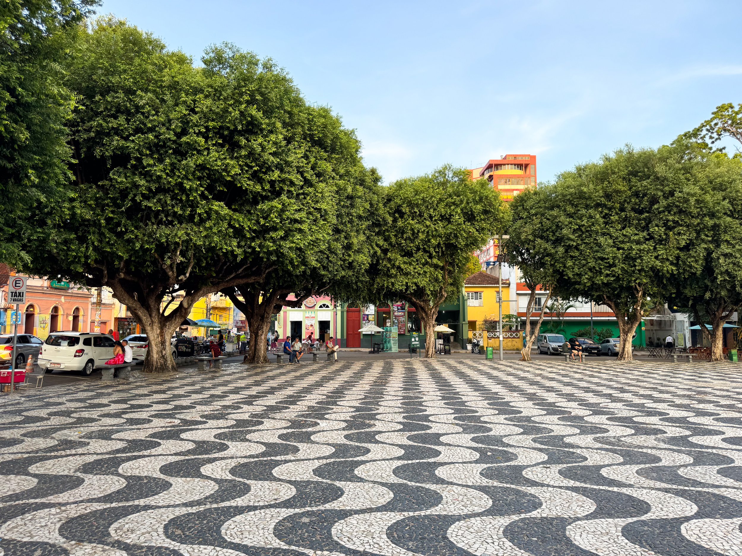
Amazon Theater. A grand and historic theater built from pink and white stones topped in with mosaic tiled dome featuring the Brazilian flag. The interior is elaborately designed with ornate details, velvet seats, warm lighting and multiple levels of opera boxes.
We visited during the Festival of the Theater of the Amazon and saw a free live performance dedicated to the women of the Amazon. The story spoke to the loss of tradition and indifference felt by many indigenous women through male control and westernization. We watched from an opera box with new friends we met in line.
Largo de Sao Sebastiao. A wavy black and white tiled plaza with a large nautical fountain at its center in front of the Amazon Theater. It’s lined with native trees home tropical birds. We saw a flock a macaws and parquets fly over, a reminder we were in the Amazon even within the city. The plaza is a hub for music and food! Surrounding restaurants serve Amazonian cuisine while vendors sell tacacá, açaí, cassava chips, popcorn and caipirinhas.
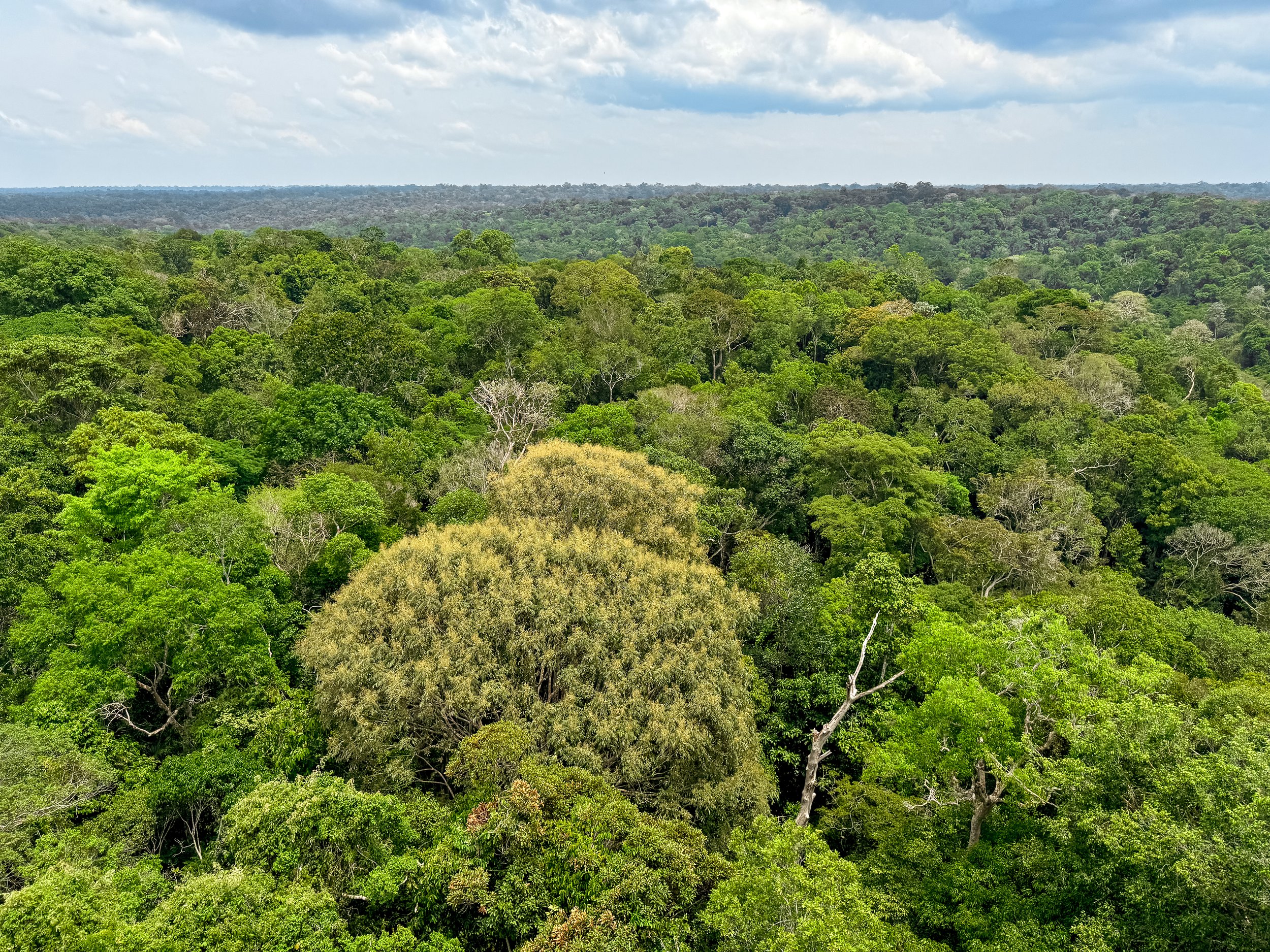
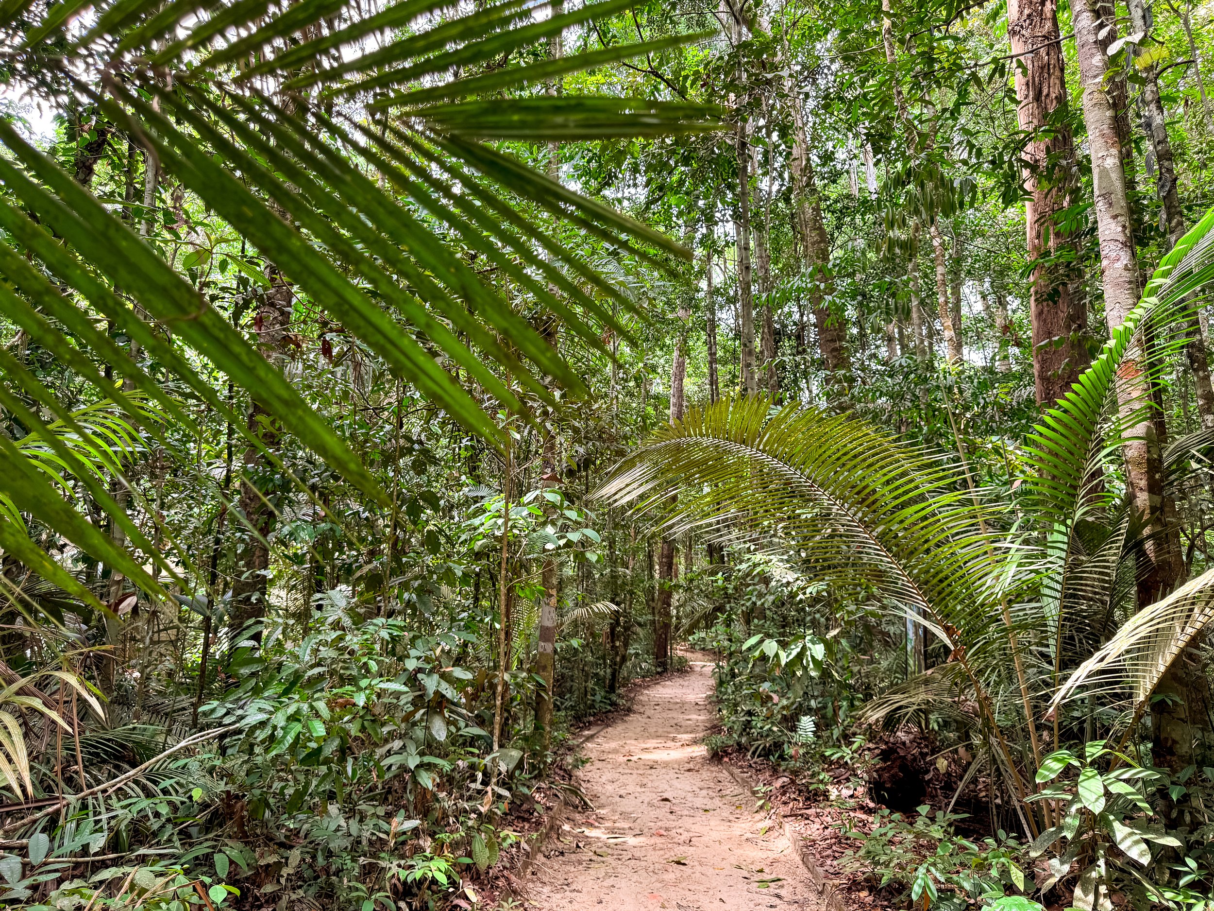
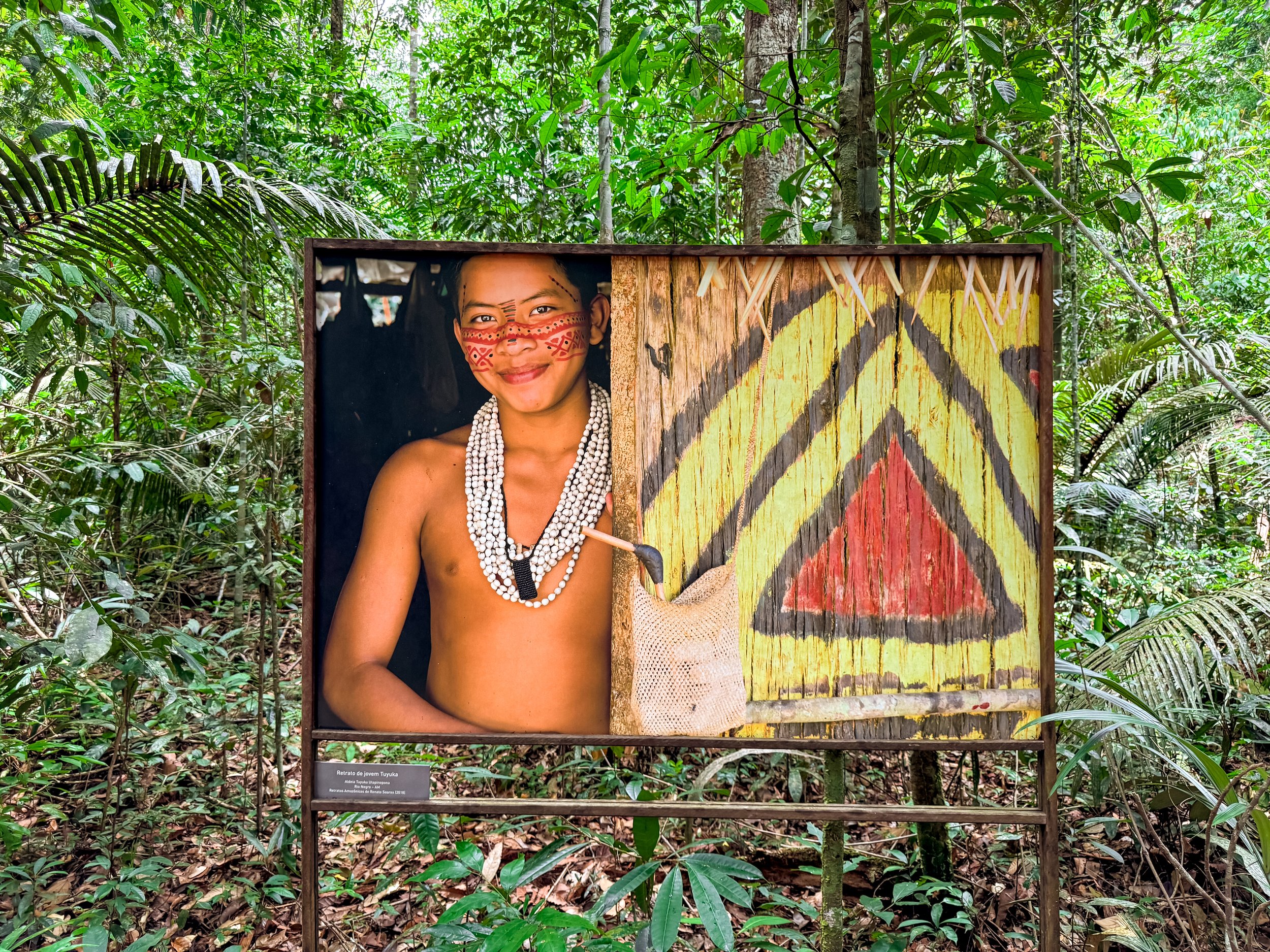


Museu da Amazonia (MUSA). A rainforest reserve at the edge of the city with nature trails through the jungle. Come here to overlook the treetop canopy and spot monkeys from the lookout tower, admire the indigenous photography lining the trails and visit exhibits and gardens with Amazonian species including palms, ferns, snakes, spiders, butterflies, cicadas and mushrooms. The park is located about 40-45min from El Centro by Uber or car. Ubers cost about $15 one way.
Parque do Mindu. A lesser maintained city park with nature trails, açaí palm trees, flocks of parquets, leaf cutter ants and many flying insects. We walked the trails while listening to the calls of birds including macaws, toucans and mocking birds. Wear plenty of insect repellant when visiting.
Praia de Ponta Negra Beach. A large sandy beach on the Rio Negro with a treelined promenade, volleyball courts, an amphitheater and Barracas, food vendors in beach tents. We bought fresh coconuts to hydrate and açaí sorbet to cool down. There is no shade on the beach however the Barracas also offer chair and umbrella rentals. People often come here to swim, however when we visited, swimming was banned due to the record drought. The beach is a 20 min Uber ride from El Centro.
Manaus Harbor. The harbor is the transport and shipping hub for Manaus and the Amazon region. Many tours and cruises leave from here. When we visited, the water level was so low due to the record drought that the Brazilian government had to begin dredging the harbor.
Mirante. A multi-floor complex and port for Amazon cruises with restaurants, cafes, bars, a lookout over the Rio Negro and indigenous themed artwork.
Where to Eat & Drink
One of the best ways to try Amazonian cuisine is by eating at local restaurants in Manaus, trying the street food and exploring the markets.
Tambaqui de Banda. A restaurant in Largo de São Sebastião that specializes in Amazon fish like the restaurant’s namesake, tambaqui. We ordered the fried tambaqui costela, barbecued pirarucu and shrimp vatapa with sides of farinha. The bar offers specialty cocktails and juices made from Amazonian fruits and Cachaça. Our favorite was the Todo de Amazon, made with açaí, capuaçu foam and guaraná grated using a dried pirarucu tongue. Stick around for happy hour for half off caipirinhas, discounted snacks and live music.
Biatuwi. A restaurant specializing in Amazonian dishes traditionally prepared by indigenous tribes. We ordered the tambaqui costela cooked in a cocoa leaf, toasted Saúva and Maniwara ants, and Aluá, a fermented pineapple drink similar to kombucha. All dishes and drinks came out in calabash bowls resting on a ring of dried açaí seeds.
Coreto dos Manaós. A restaurant at the Mercado Municipal Adolpho Lisboa with a lush shaded garden. We came here for breakfast to try Tapioquena. We ordered two, one stuffed with tacumã and banana, the other with egg and cheese.
Tacacá da Gisela. A popular soup stand specializing in Tacacá located in Largo de São Sebastião.
Açaí do Largo. An açaí stand specializing in “Creme de Cupuaçu with Açaí” located in Largo de São Sebastião.
Sorveteria Glacial - Self Service (Loja 1). A self service ice cream shop that sells by weight. Come here for exotic flavors only found in the Amazon including fruits and nuts like, Açaí, Castanha do Brazil (Brazil nut), Maracujá (passion fruit), Cupuaçu, Tapereba and Doce de Leite.
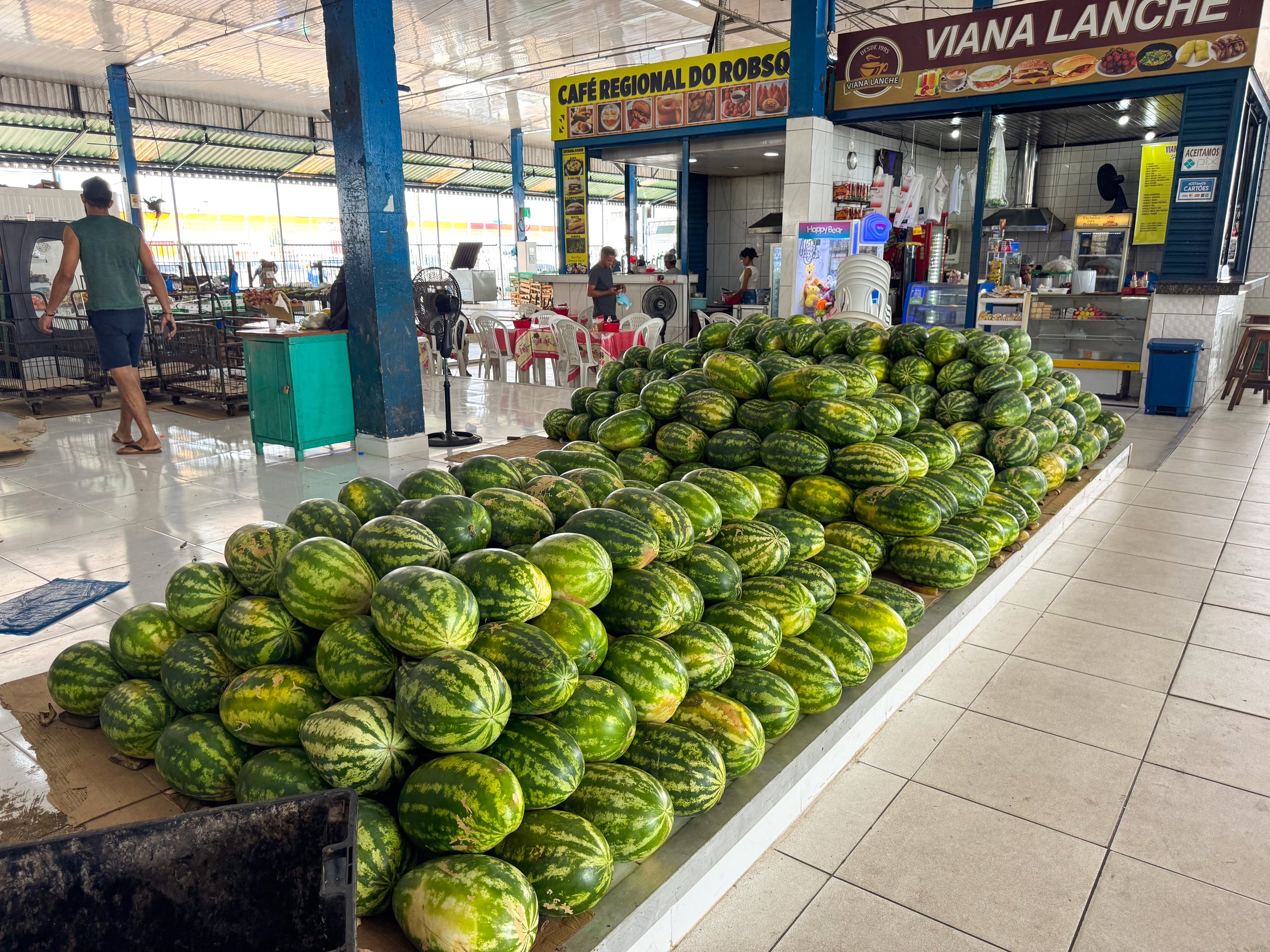
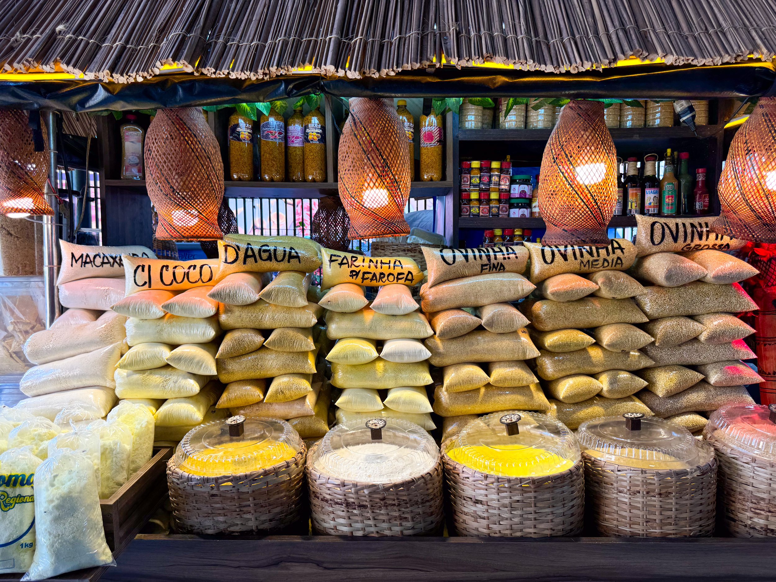
Markets
Manaus is well known across the Amazon region for its food markets, especially when it comes to Amazonian fish.
Feira Manaus Moderna. A massive and bustling food market with aisles of hundreds of vendors selling fish, meats, produce, fruit, cheese and grains. Freshly caught Amazonian fish are delivered directly from the outside pier to fish mongers sharpening knives and preparing them for consumption. Tables are covered in all manner of fish including Tambaqui, Pirarucu, Red Bellied Piranha, Peacock Bass and Spotted Catfish. Elsewhere outside the market, merchants sell fishing supplies including nets, hooks and coolers.
Feira Moderna da Banana de Manaus. A large fruit market under a shed with vendors selling bunches of plantains, crates of bananas, fresh juices, sacs of oranges, crates of mangos, piles of water melons and tables covered in papayas, pineapples and limes.
Mercado Municipal Adolpho Lisboa. A historic wrought iron market with restaurants and cafes, Amazonian crafts, meat and fish vendors and medicinal goods including oils, herbs & natural supplements.
Getting Around
By Uber. We took Ubers to get around the city. They are extremely affordable, costing $2 - $5 to get around the city and $10 to/from the airport to the city center.
On Foot. The El Centro neighborhood of the city is walkable.
Good to Know
Safety. It’s smart to be aware of your surroundings. The city has pockets of doggy areas, even around the El Centro neighborhood.
Language. Portuguese is the national language of Brazil. Very few people speak English. We got by on some basic Portuguese phrases and words combined with some Spanish and Google Translate.
LGBTQ+ We felt safe and welcomed as a gay couple in Manaus, especially in the El Centro neighborhood. We saw many queer people from across the spectrum, progress flags and even befriended another gay visiting from São Paulo.
Temperature. We visited during the dry season. Temperatures reached a peak of 102 Fahrenheit! We avoided the heat when possible and drank between 2-3 liters of water per day to stay hydrated.
Drinking Water. It’s not recommended to drink the tap water in Manaus. It should be filtered or boiled before consumption.
Wear Sunblock. During the dry season, the UV was often very high. Sunblock and umbrellas were necessary to prevent sunburns.
Insects. It’s the Amazon; there are insects and mosquitos anywhere near water and in the forest. Insect repellant and mosquito nets are necessary to reduce bites.
Vaccinations. We took malaria pills daily while visiting the Amazon as well as received the Yellow Fever vaccine prior to traveling.
Climate Change
The Amazon is directly affected by climate change through pollution, deforestation and drought. This was evident during our time in Manaus as we toured the region, spoke with locals and read recent news headlines.
Pollution Problem. Manaus has an unfortunate pollution problem. There is trash blowing around the central plaza, piling up in the streets and large amounts of waste building up in the waterways, piers and beaches. When we left for our river cruise, the Manaus Harbor looked like a landfill. Fortunately, days later when we retuned, city workers had began cleaning enough waste to fill an entire barge.
Deforestation. The signs of climate change and habitat loss were visible as we flew over the Amazon. From the air, vast regions of Amazon had been deforested, burnt down or converted to farmland. Even during our river tour, there were ash clouds rising in the distance from forest being burned for agriculture.
Record Drought. We visited during the Amazon’s worst drought on record, going back 144 years. The mighty Amazon River and its largest tributary, the Rio Negro had reached record lows. Large sand banks and islands formed in both rivers while floating houses and boats sat on the bottom of dried river beds and smaller tributaries. Even our river boat ran aground in the shallows while the city’s main beach was closed for swimming.
For Next Time…
The Rainy Season. Having visited during the during the dry season and worst recorded drought, we would love to return to the Amazon during the rainy season to see the difference in water levels and climate.
The Western Amazon. The Amazon stretches across several countries in South America. Having visiting the Brazilian and Surinamese Amazon, we have our eyes of seeing areas to the west in Bolivia, Peru, Colombia and Ecuador.
Suriname
Suriname is a country in the north east of South America with a Dutch colonial past, vast rainforest and melting pot of cultural influences. We spent over a week exploring is capital city, Paramaribo as well as the Amazon region deep within the interior of the country.
Suriname
Suriname is a country in the north east of South America with a Dutch colonial past, vast rainforest and melting pot of cultural influences. We spent over a week exploring is capital city, Paramaribo as well as the Amazon region deep within the interior of the country.
Paramaribo
Paramaribo is the Dutch Colonial capital of Suriname, also called “the wooden city” for its dutch style wooden houses and buildings. It’s home to markets, former plantations and museums. It’s the perfect starting point to venture to the interior of the country or along the coast to nature reserves and the neighboring counties.
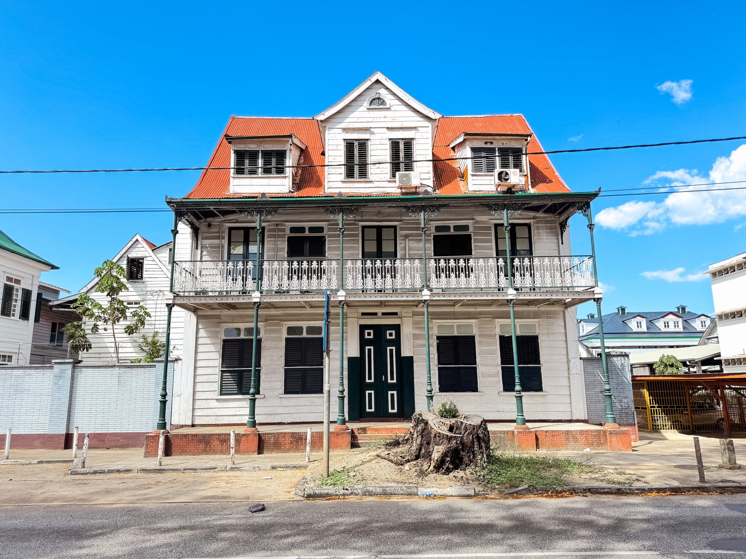
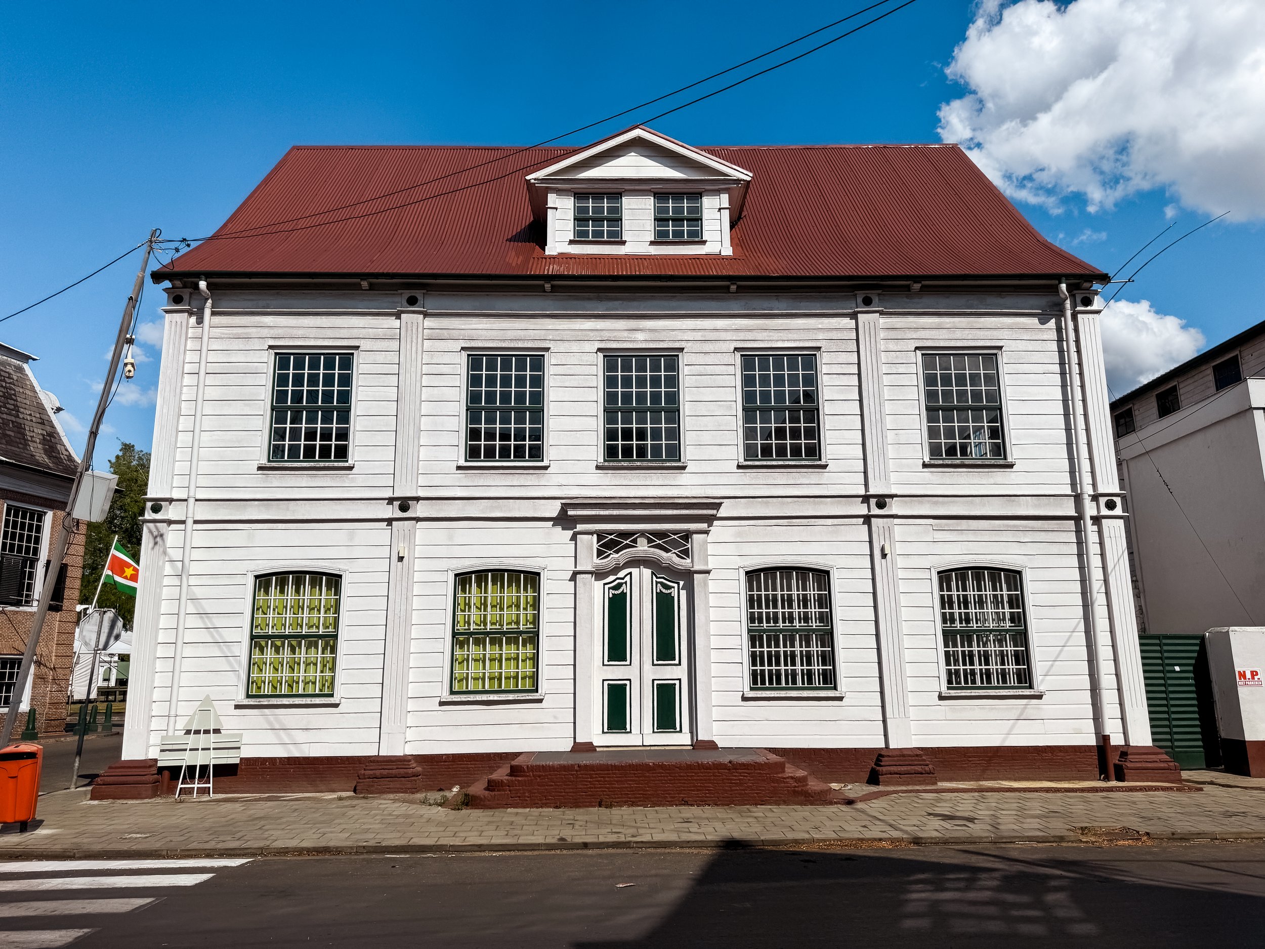
Neighborhoods & Streets
Combe. A neighborhood at the heart of Paramaribo with many historical sights, markets, restaurants & bars, hotels & hostels.
Van Sommelsdijck Street. A street with restaurants and various cuisines including Indian, Italian, Indonesian, Mediterranean and Japanese.
Jessurunstraat. A street with Dutch style houses, cafes, small inns and hostels, including the one we stayed at.
Sights
Fort Zelandia. A historic waterfront fort with a hexagonal stone wall, brick courtyard and buildings within. Outside of its walls is the old town with multiple Dutch colonial wooden houses, cannons, and tall trees.
The fort houses the Suriname Museum, with exhibits telling the history of Suriname from its colonial past to independence with artifacts from enslaved Africans, the Maroon people and Pre-Colombia cultures.
On the ground floor of the fort is, Baka Foto, a refined feeling restaurant and bar with a garden overlooking river. After touring the fort, we stopped in to sip on Borgoe, a Surinamese rum. It had the sweet spiciness of a rum and flavor of a cognac.
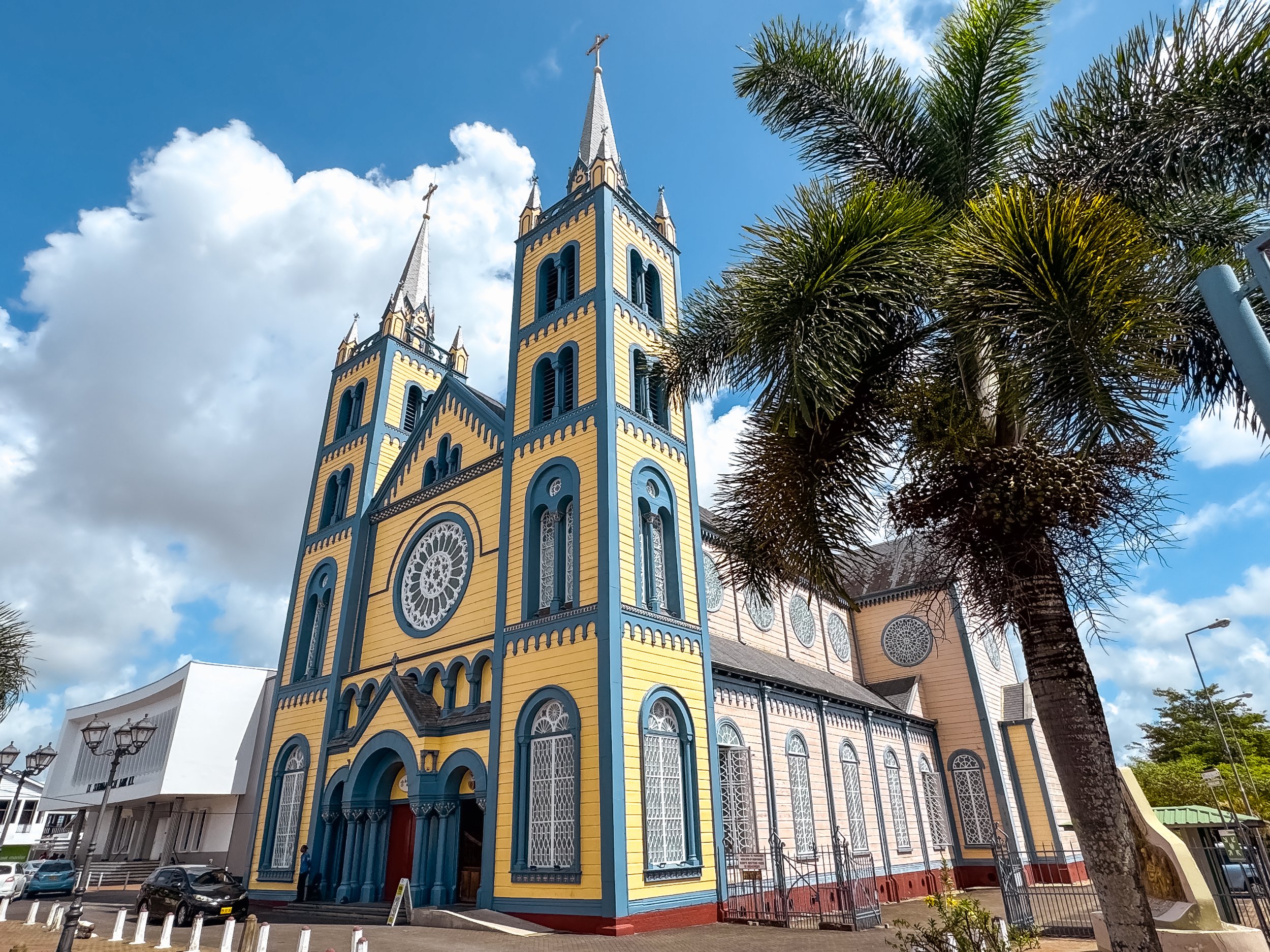
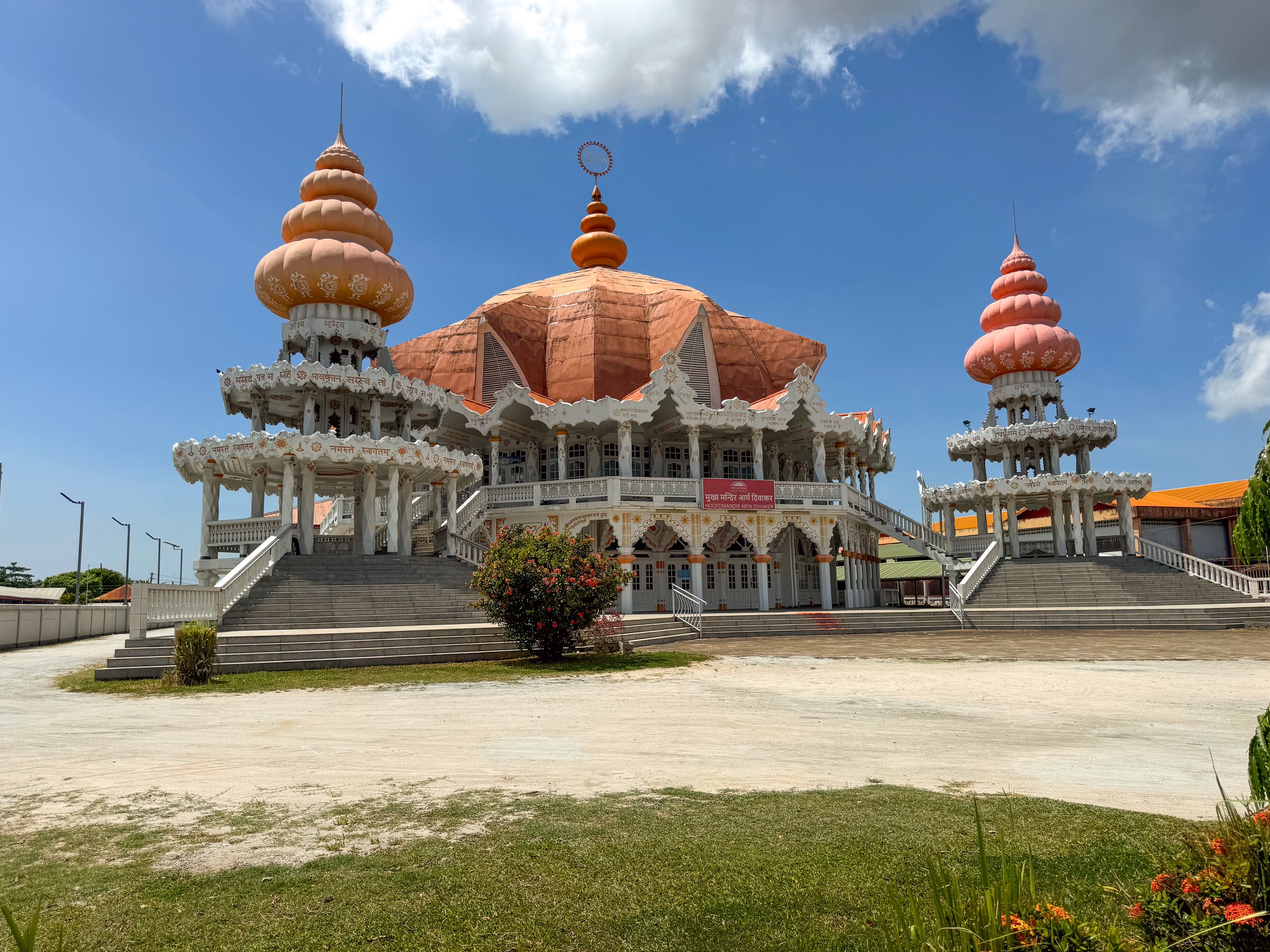
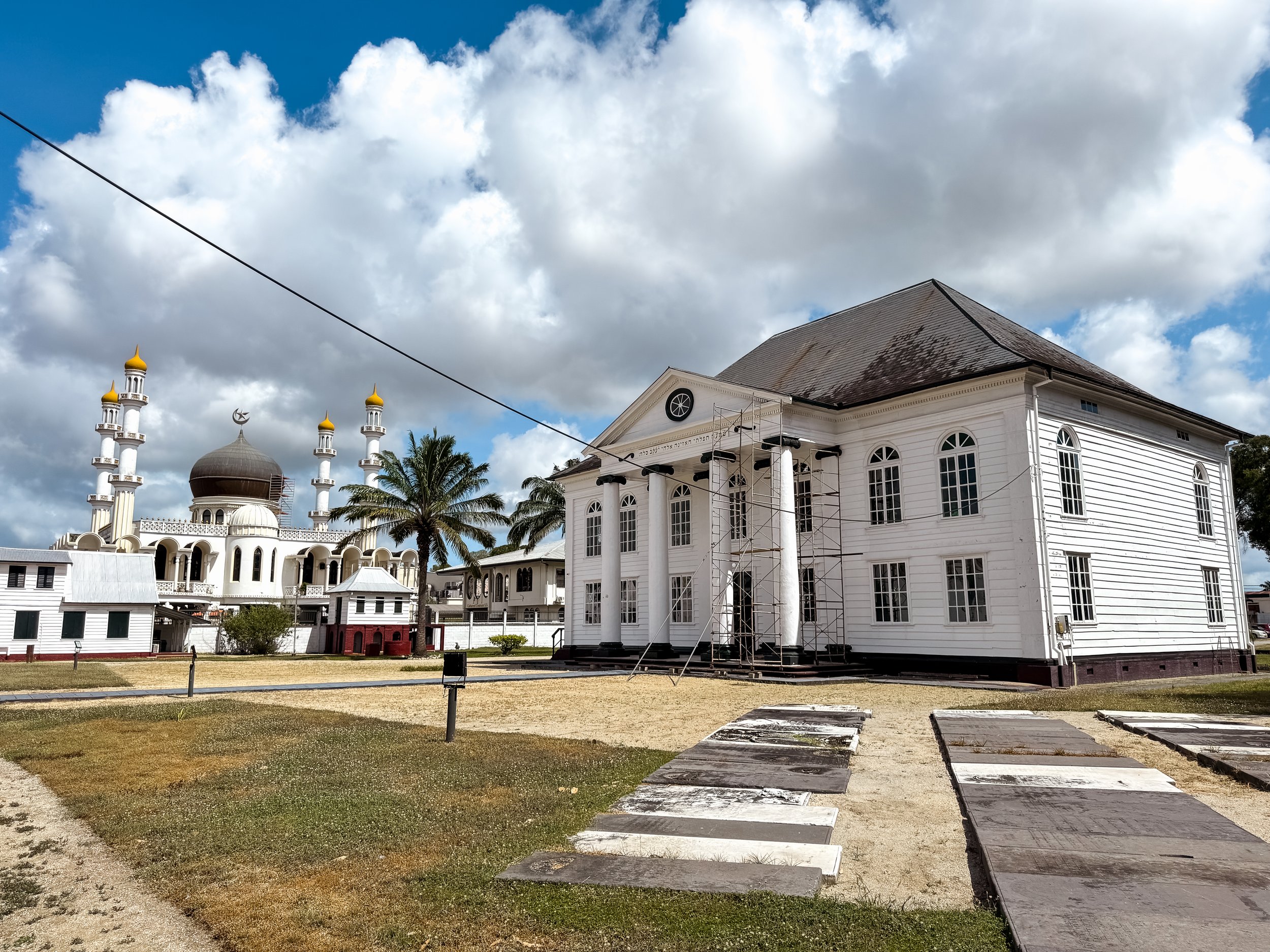


Waterkant Boulevard. A waterfront park on the Suriname River with historic Dutch colonial buildings. When we visited, the park was closed for a lengthy renovation. Even so, we got to admire the architecture characterized by its white painted wooden facades, tiled roofs, green window and door moldings and red brick foundation.
Independence Square. A gravel plaza surrounded by Suriname’s government buildings including the Presidential Palace, House of Justice, National Assembly and Ministry of Finance.
Presidential Palace. A large wooden Dutch style mansion home to Suriname’s presidency.
Palmentuin. The presidential palm garden with hundreds of towering palm trees, walkways and monuments. Come here to listen to the birds chirping and singing.
Religious Sights. Suriname is proud of its cultural diversity, a fact that is evident by their various sights of worship including churches, mosques and Hindu temples across the city.
St Peter & Paul Cathedral. A large wooden basilica with a painted blue, yellow and peach colored facade decorated in Dutch style moldings.
Arya Dewaker. A large Hindu temple with a domed temple hall and Dutch style influences like its symmetrical design and paned windows.
Mosque Keizerstraat. A large beautifully designed mosque with four minarets and a central domed hall.
Nevah Shalom Synagogue. A Dutch style wooden temple with a symmetrical design, white facade, paned windows and tall columns.
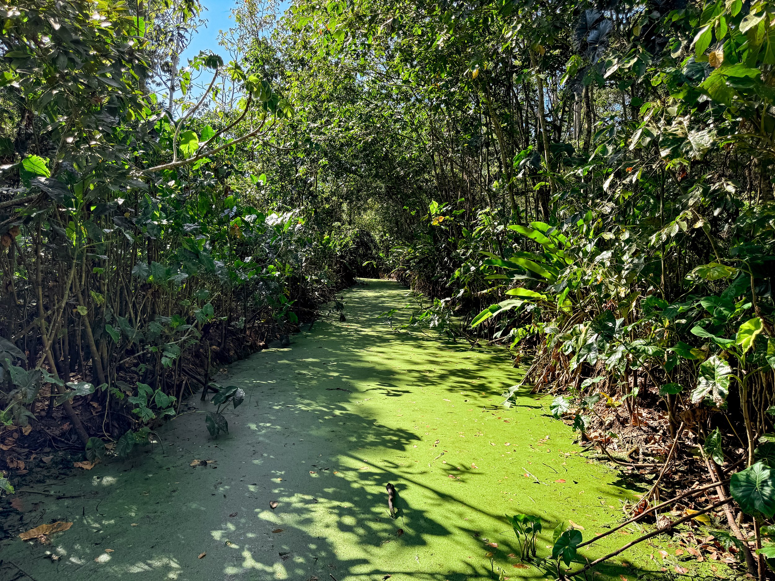
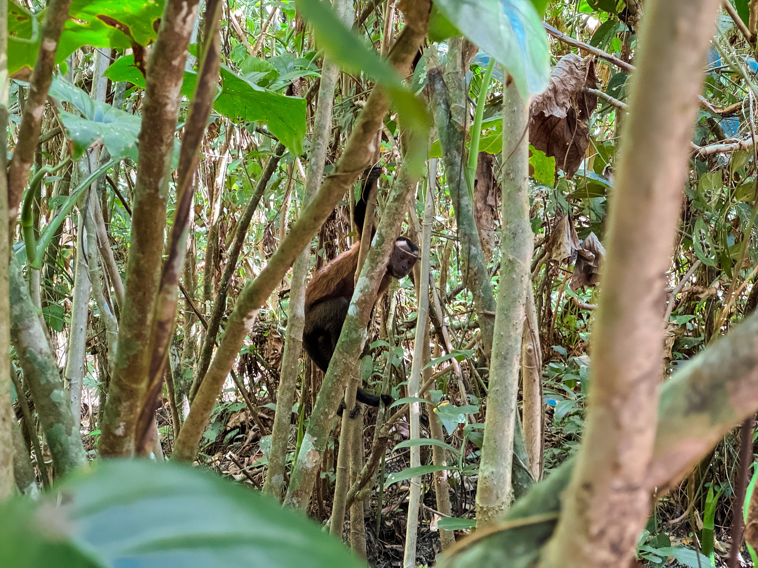
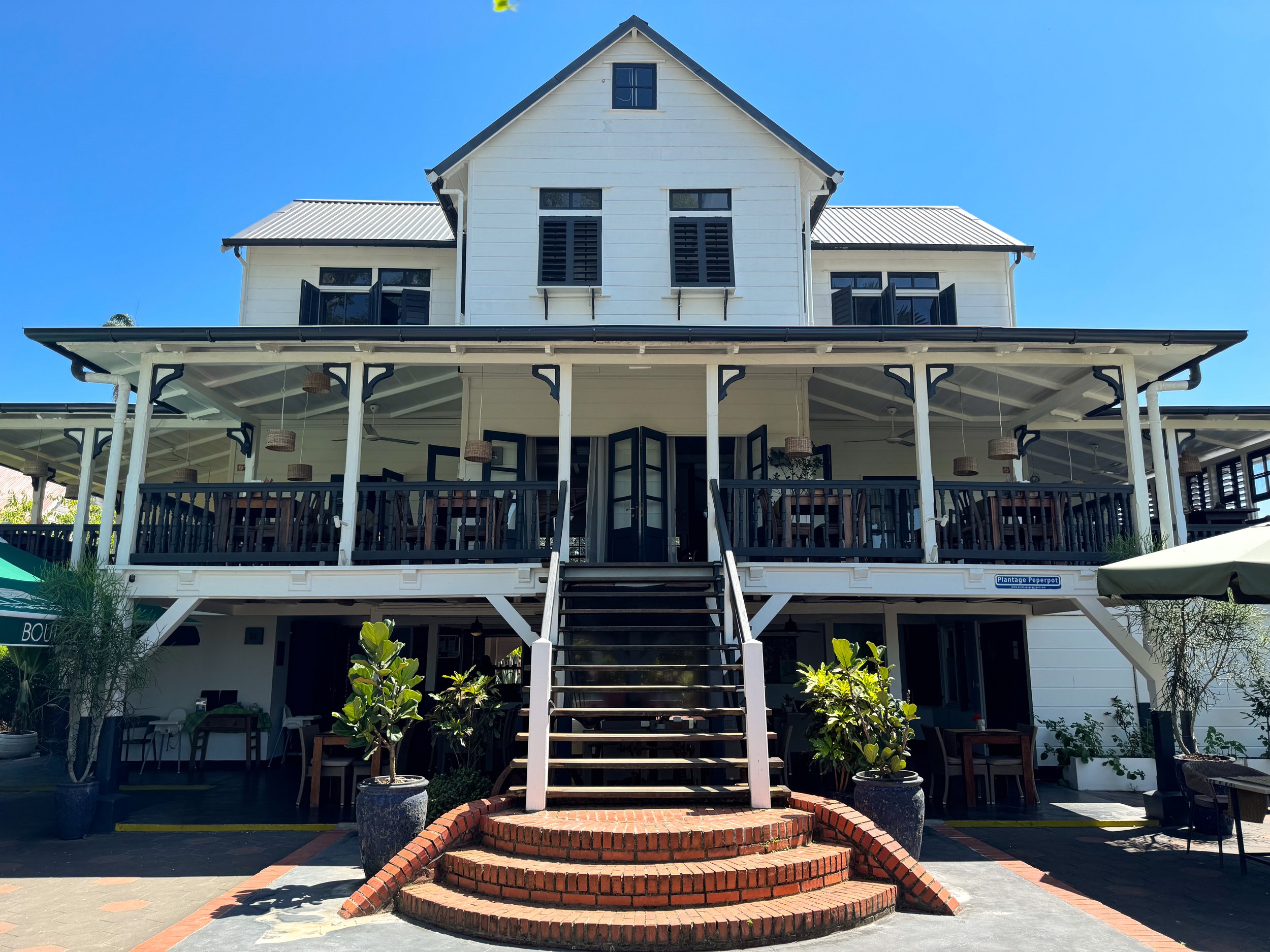
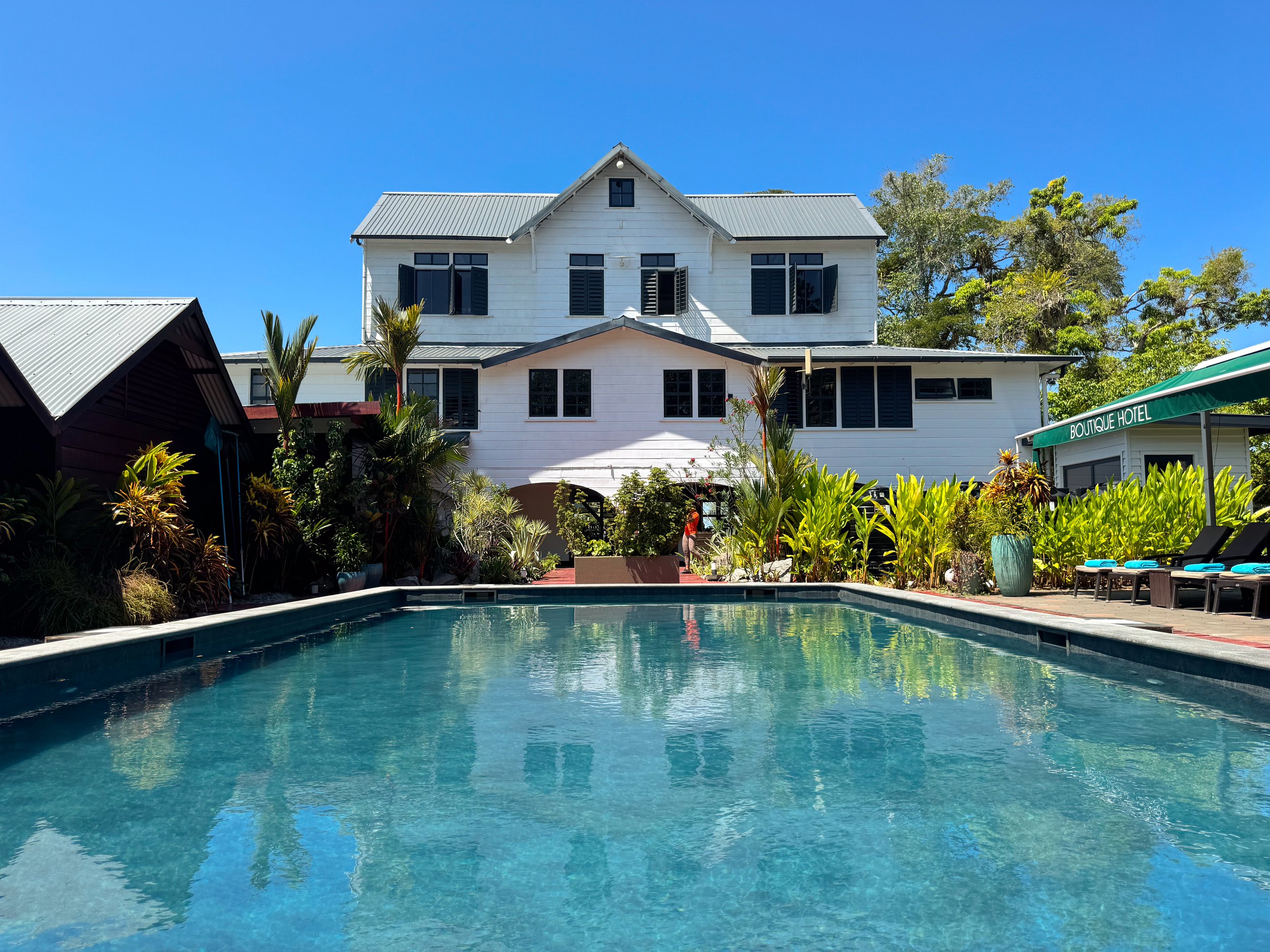
Peper Pot Nature Park. Across from Paramaribo on the other side of the Suriname River are many former sugar cane and coffee plantations, since converted into farmland, nature reserves and residential neighborhoods.
We visited Peper Pot, a nature park with lush trails and dirt roadways for walking and biking. Along the trails, we spotted families of squirrel and capuchin monkeys, rainbow lizards, yellow breasted corn birds and scarlet peacock butterflies. Pepper Pot continued to produce coffee through the mid 1990s. Since then the former Dutch colonial plantation buildings have been converted into a boutique hotel with a restaurant and pool.
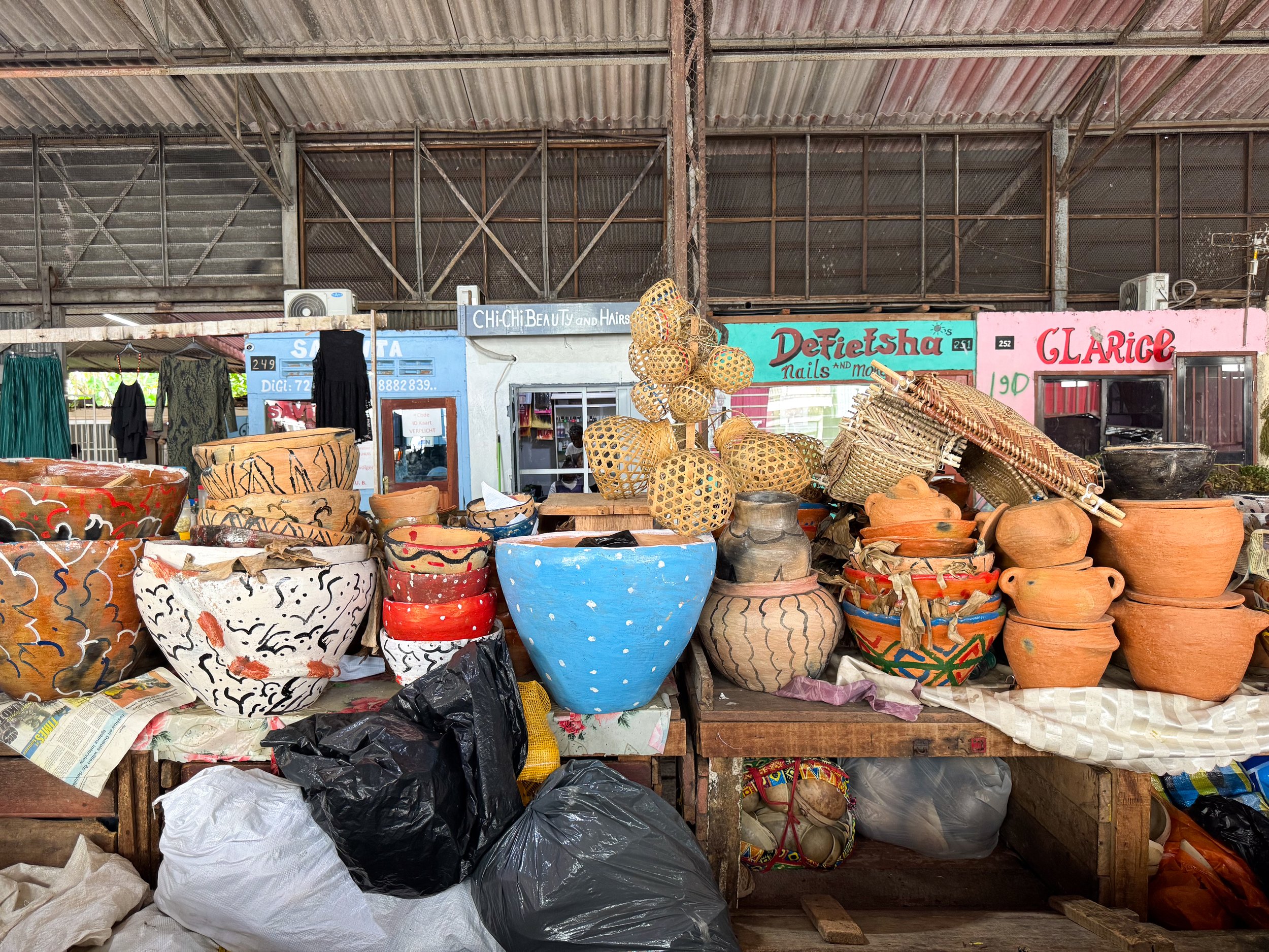
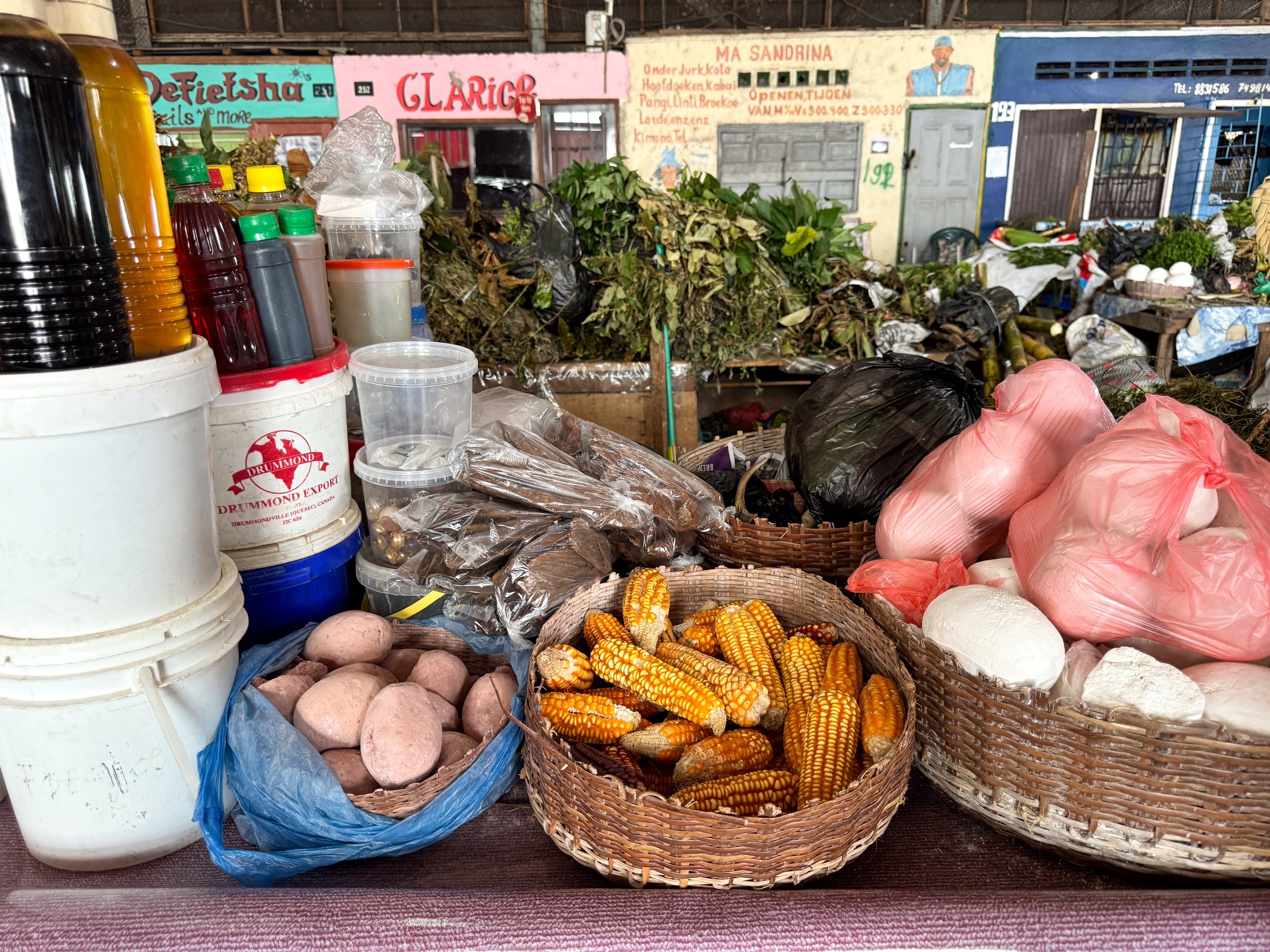




Markets
Maroon Market. A market with Maroon women selling organic and handmade items from the Surinamese Amazon. Across the tables of the dimly lit shed are jars with colorful feathers, stacked turtle shells, rams horns, large bunches of leaves used for washing with, oils for skin and hair care, pieces of bark and dried tree sap for burning as incense, wood and root used for medicinal purposes, cassava flower and spices. The women here are friendly and spoke with us about what several items were and how they’re used. Other vendors sell beautifully woven baskets, painted clay pots, bowls carved out of gourds and beaded necklaces.
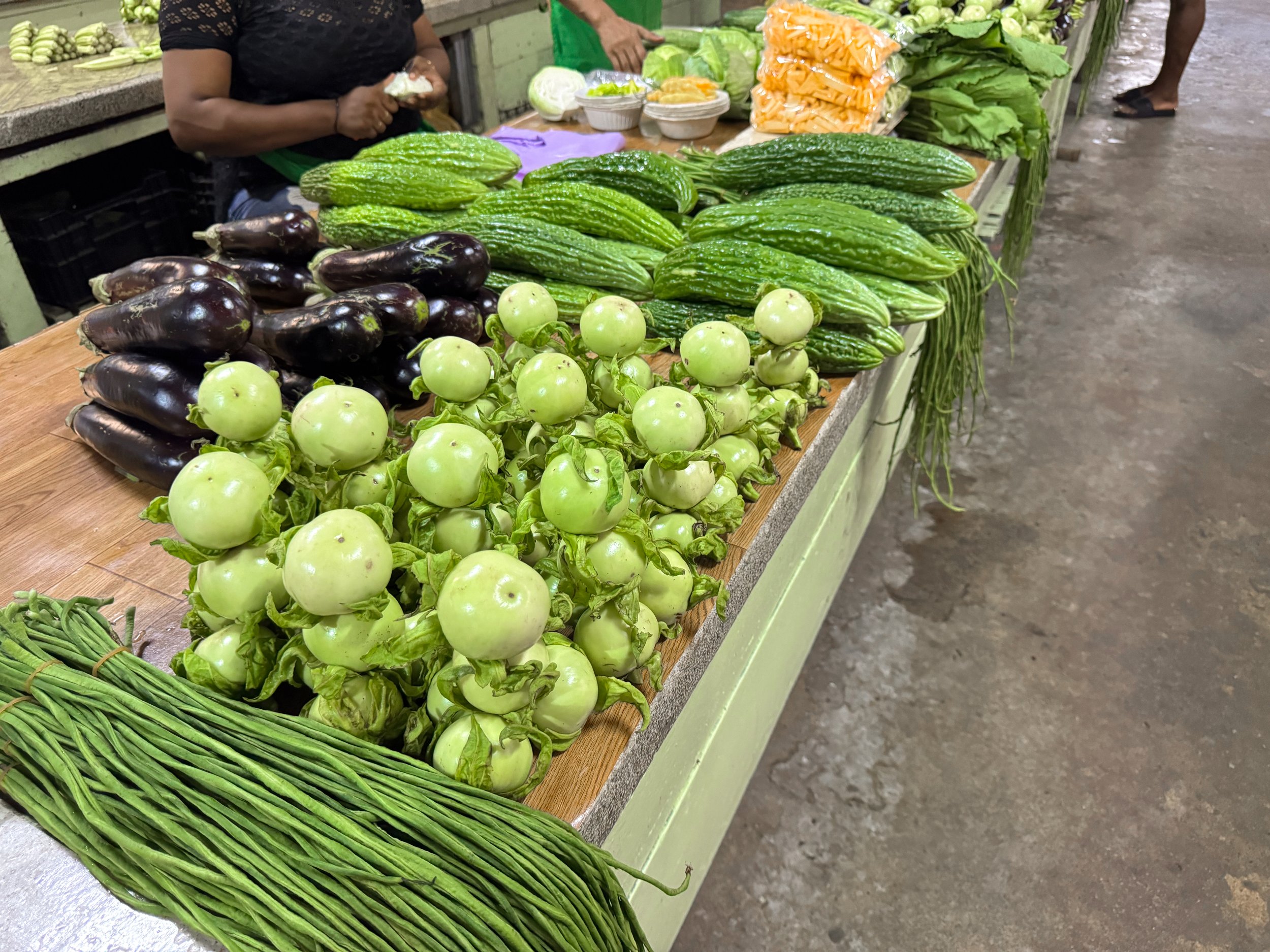
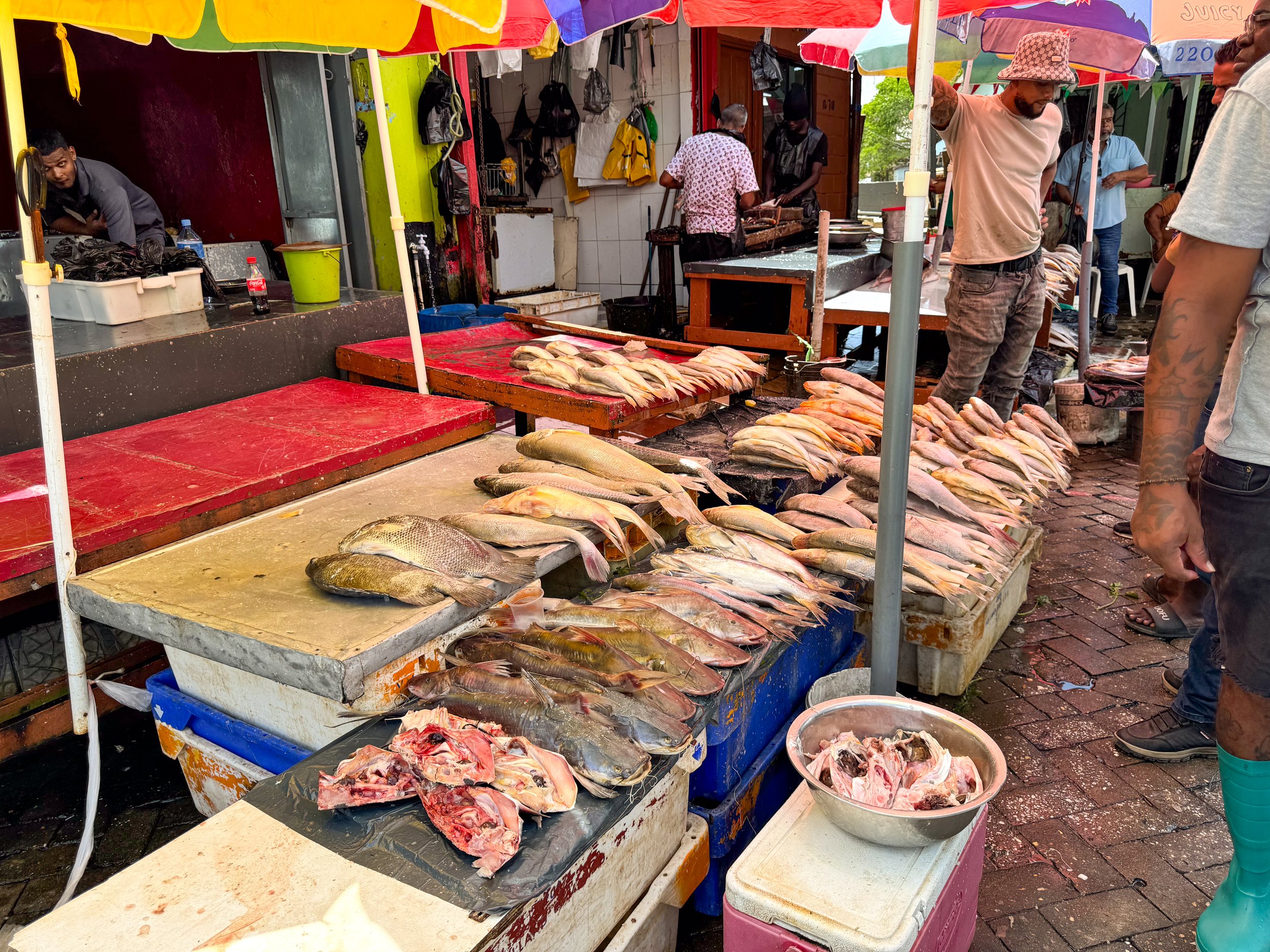
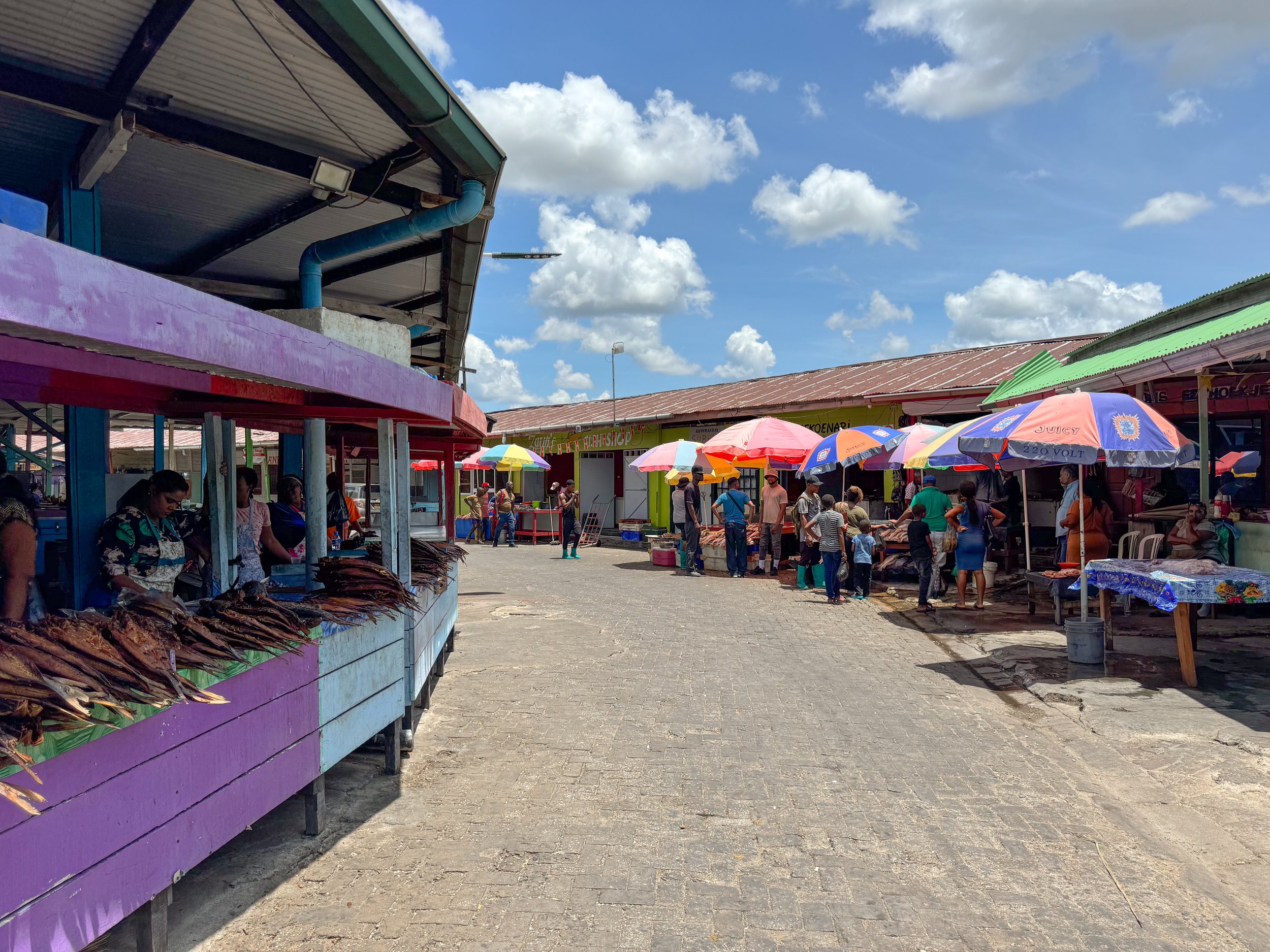
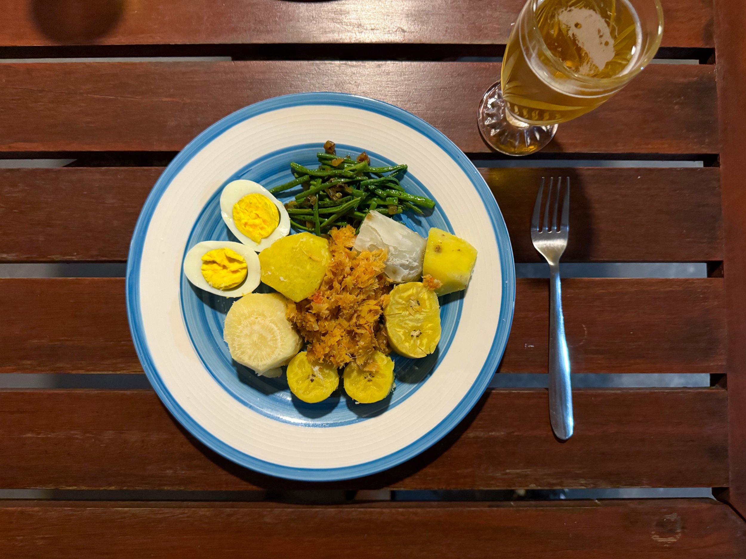
Central Market. A large market with vendors selling local produce, fish (fresh, smoked and salted), meats, live chicken, herbs, spices, oils, sauces, dried noodles, rices, cassava and plantain chips. We spent over an hour walking from table to table inspecting the exotic fruits, bunches of herbs and carefully stacked arrangements of vegetables before returning to buy groceries to prepare our own meals.
For breakfasts, we ate Amazon fruits. For one dinner, we cooked Heri Heri, Suriname’s national dish. The dish is made with an assortment of boiled vegetables including cassava, white sweet potato, potato, yellow plantain and green plantain served with fried salted cod, yardlong beans and a hard boiled egg.
Exotic Vegetables
Yardlong Beans. Very long thin strands of green bumpy beans.
Antroewa. A small round and green eggplant.
Sopropo. A bitter melon that has to be cooked. It looks like a bumpy cucumber.
White Sweet Potatoes. Small potatoes with a brown skin, white interior and sweet savory flavor.
Kaisoi. A large leafy green similar to spinach.
Exotic Fruits
Pommerak. A tasty deep pink pear shaped fruit with sweet and starchy flavor. Can bite right into it.
Rose Apple. A tiny pinkish red pear shaped fruit that tastes slightly sweet and floral. Can bite right into it.
Star Apple. A fruit similar in flavor to a lychee with the exterior of a passion fruit. Cut in half & spoon out the fruit.
Pomelo. A giant grapefruit with a light and refreshing flavor. The strands of fruit easily pull out of each slice.
Other more commonly known vegetables and fruits sold at the market are plantains, okra, turmeric, cassava, squash, oranges and watermelon.
Deserts
Boyo. A semi sweet cake with a gelatinous spongy texture made from cassava and coconut.
Fiadu. A sweet cake made with raisins, currants, almonds and citrus.
Drinks
Parbo Bier. A classic Pilsner brewed in Paramaribo.
Parbo Bier Chiller Lime. A refreshing local beer with flavors of lime and passion fruit.
Fruit Stands. There are colorful and fragrant fruit stands around the outer roads of Paramaribo. We stopped at one for a fresh coconut, mango and pineapple for breakfast.
Waka Pasi. An outdoor market along the canal behind the Palmentuin with cocktail bars, cafes, ice cream shops, souvenir stands, a tourist desk and vendors selling fried foods.
Where to Eat & Drink
Raja Ji. An Indian restaurant with a wide range of vegetarian dishes cooked in savory sauces and warm spices.
Souposo. A cafe with Surinamese soups. Try the Peanut Soup made from peanuts, plantain, spices and smoked fish. Or try the Saoto Soup, a savory vegetable soup with greens, spices, bean sprouts and ramen noodles.
Tangelo. A cafe with strong coffee, artesian pastries, fruit forward breakfast dishes and savory bites with Indian spices. Try the Aloo Gobhi Pita with spiced cauliflower, potato and chickpeas.
Sweetie Coffee Suriname. A cafe at the Waka Pasi market with shaded seating, coffee, water, beers and homemade cakes.
Coffee Mama. A cafe in a Dutch colonial house with a cozy backyard. Come here for the coffee, Surinamese, Caribbean and Brazilian snacks, breakfast and lunch dishes.
The Surinamese Amazon
With its lush jungles, flowing by rivers and immense biodiversity, Suriname resides firmly in the Amazon Basin with over 90% of its landmass covered by rainforest. We traveled into this region and spent 4 days at the Anaula Nature Reserve.
Anaula Nature Reserve
Anaula is an eco-resort on an island in the Suriname River with jungle bungalows, nature trails, natural river pools, cultural activities and prepared local dishes. We spent our time relaxing in nature, exploring the Amazon and experiencing the local culture through tours and cuisine.
Day One
Day one was all about the journey and exploring the eco resort.
Getting Here
From Paramaribo, we took a 4 hour bus ride towards the interior of the country until reaching the port of Atjoni on the Suriname River. At this point, the only method of transportation further into the country is by motorized dugout canoe.
As we waited for our captain, guides tossed our bags onto a canoe ferrying everything from luggage, bulk groceries, small appliances, large propane tanks and corrugated metal. Once on the river, we glided through the brown water and looked upon the lush tree lined banks, passing several Maroon villages, locals swimming in natural river pools and washing clothes. The captain skillfully weaved the long canoe past rocks, sand bars and oncoming boats.
Towards the end of the journey, we passed through The Jaw Jaw Rapids, a notoriously turbulent section of the river. The captain sped the boat up the rapids through a narrow passageway where we hit and bounced off a rock but were redirected by several men waiting to steer us back on course. Once successfully passing through, the others re-boarded the boat and we continued the journey, docking at Anaula after a total 1 hour and 15 min canoe ride.
Arrival at Anaula
The resort has beautiful wooden bungalows and open air amenities like a dining hall where meals are served, a lobby with wooden lounge furniture, a relaxing outdoor pool and river overlooks with hammocks.
The beautiful property is built on an island, surrounded by lush Amazonian trees and views of the rapids. We used down time to wade in the surprisingly warm shallow river pools, bird watch and stargaze upon the Milky Way. In the middle of the night a strong rainstorm provided white noise as we drifted asleep.
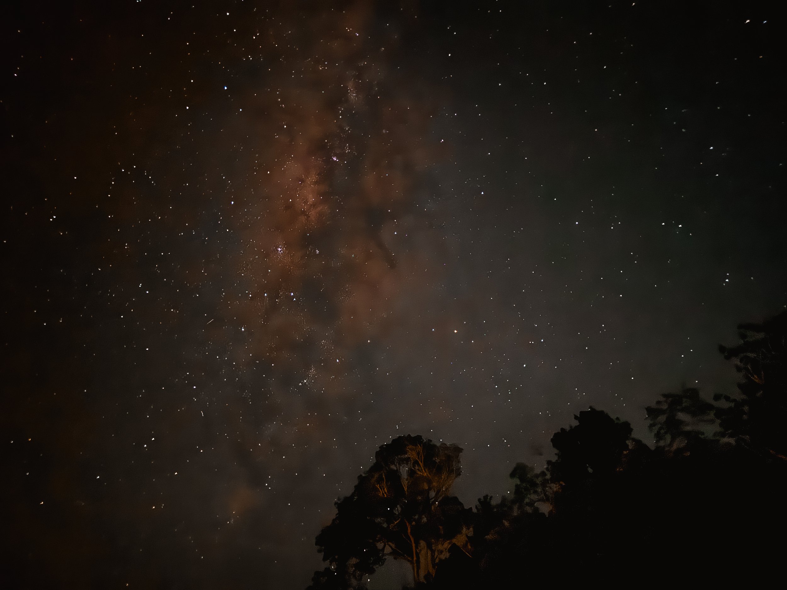
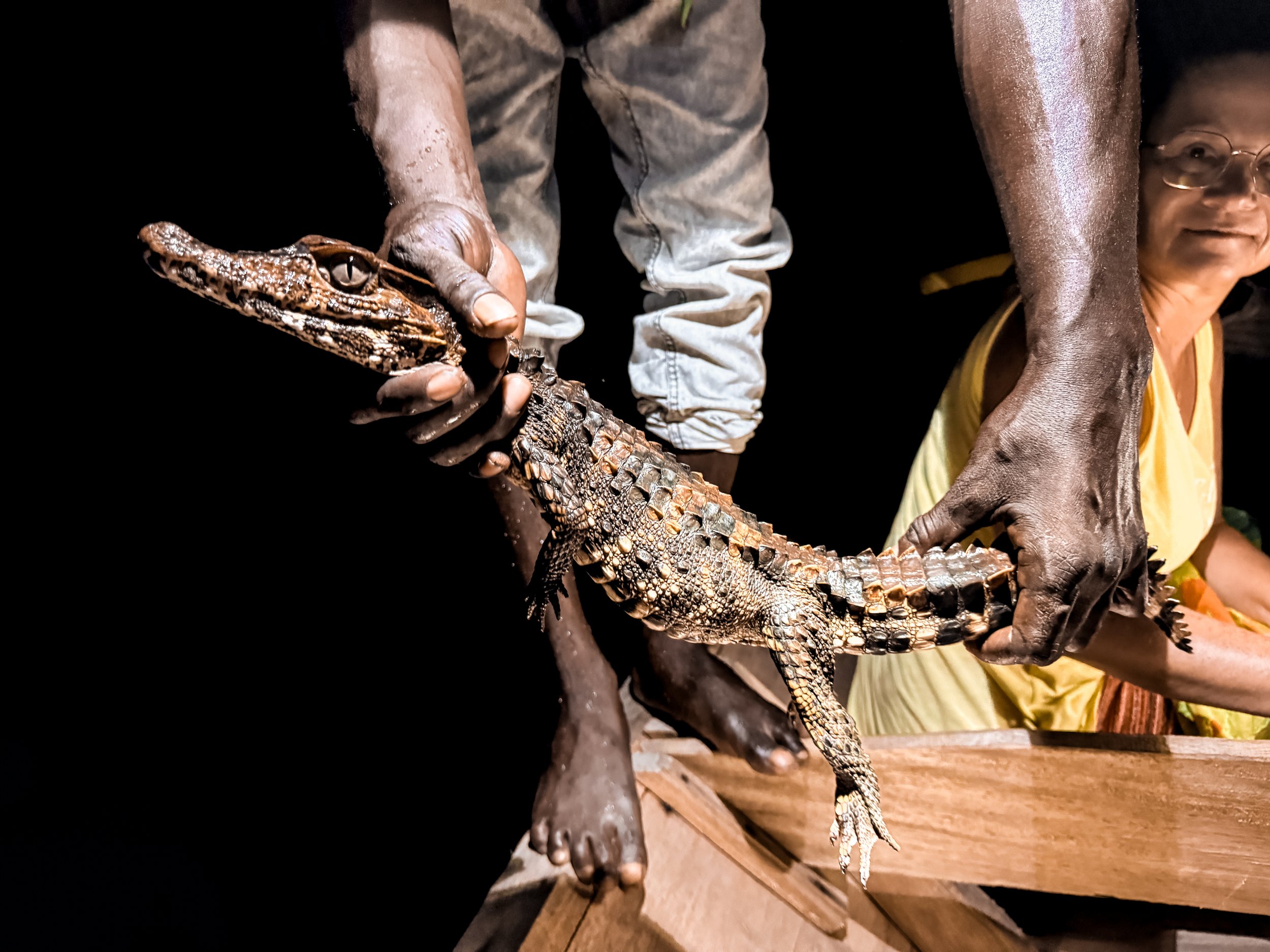
Day Two
Day two was all about exploring the island’s nature and wildlife.
Waking up in the Amazon
The noises of the rainforest, birds chirping, frogs croaking and cicadas humming all around our bungalow provided a fitting wake up call for our second day in the Amazon. At breakfast, our guide found a tarantula in the palm trees and placed it on us. The furry spider slowly crawled on our arms, applying subtle pressure as its tiny feet climbed.
Hiking the Amazon
We began our hike along the perimeter trail of the island, walking through dense primary forest with hundred year old trees and newly grown foliage. Along the way, our guide taught us Amazon survival skills including how to call for help if lost, snake warning signs and to learn from the monkeys to know what’s safe to eat.
Among the sounds of the rainforest, we heard some squeaks in the canopy and spotted a group of curious capuchin monkeys. Knowing we may have had food, the cute monkeys paid us a visit. We fed them pieces of banana which they quickly snatched from our hands while some even jumped onto our shoulder, wrapping their furry tails around our arms.
Nighttime Caiman Tour
As night fell, we took a canoe tour downriver to spot caiman under the stars. We shined a bright light towards the river bank, looking for the reflection of the caiman’s eyes. After several minutes, we caught an amber glow reflecting back. Our guide approached the small caiman and snatched it out of the water for everyone to see up close. After releasing it, we canoed further down river spotting one more, twice as large as the first, before returning back to Anaula.
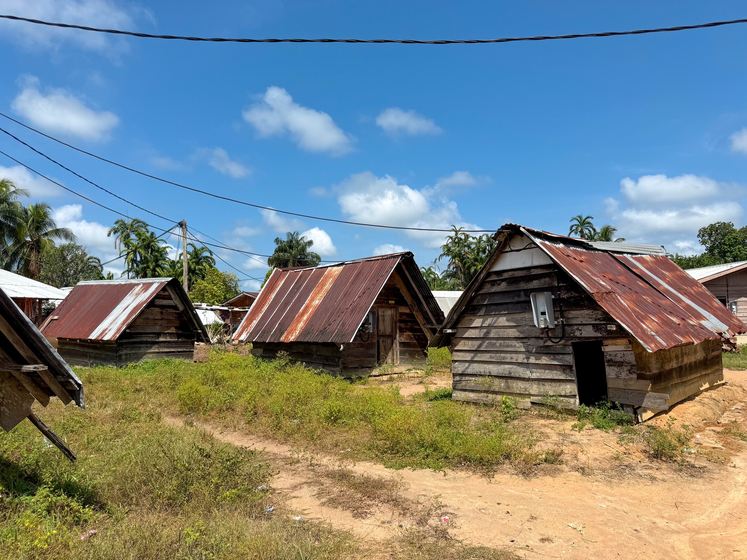
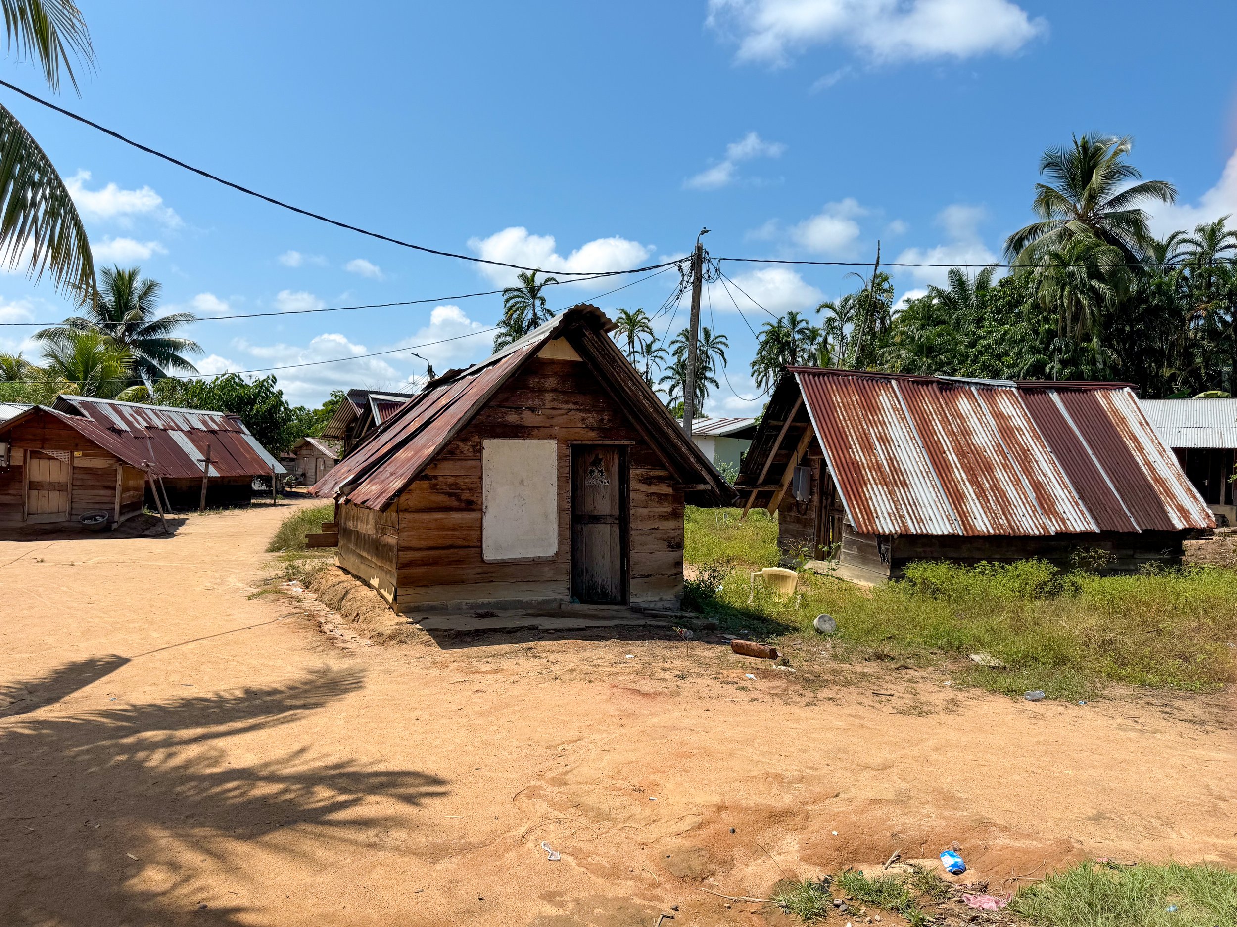
Day 3
Day three was all about the local culture and more relaxation.
The Village Walk
We visited the Village of Ladoani further up the Suriname River. The village is home to the Saamaka, 1 of the 6 Maroon people in the country. The Maroon people are the descendants of enslaved Africans brought to Suriname who have lived upriver for generations. Traveling by canoe, on foot and then by canoe again, we reached the village of nearly 3,000 people.
During our guided village walk, we learned about the village, its people, culture, language and history. The village is comprised of wooden plank houses with tin roofs and dirt pathways, a hospital, school, church and at least two mini marts. Trees producing papaya, coconut, banana, star apple, mango, cashew and breadfruit flourish here while gardens with okra and cassava grow outside of peoples’ homes.
It’s quiet during the day. The men have left to harvest crops, hunt within the jungle and fish further up river. The elders, women, children and young men remain with jobs of their own. Women harvest leaves for bathing, grind cassava to bake bread, wash laundry in the river and roast palm seeds to produce oil. Children play together, learn at school, empty rainwater from canoes and show off their pet parrots while younger men mix concrete to build foundations for new homes.
Relaxation Mode
After retuning for lunch, we spent the remainder of the afternoon napping in hammocks by the river, watching canoes navigate upstream, listening to the flow of the rapids, hum of cicadas and chirping birds. Towards the late afternoon, we migrated to the pool for a snack and a local beer.
Saamaka Performance
After dinner on our final night, we were treated to a cultural dance performance by drummers and dancers from the Ladoani Village. They performed several songs and dances that originated during the plantation era when enslaved Africans would use the performances to distract their oppressors while others escaped. Since then, the Saamaka have continued these performances but for reasons of joy and happiness.
Day 4
Day four involved a relaxing morning in nature before returning to Paramaribo.
The Last Morning At Anaula
We woke up early to listen to the birds as the sun rose followed by a nature walk where we spotted the same family as monkeys from day two. They were feasting on the fruit and nuts of a palm tree near the river. In the early afternoon, we began our scenic and exciting boat ride back to Atjoni where we boarded the bus returning to Paramaribo.
The Cuisine at Anaula
Over the four days at Anaula, we got to taste many Surinamese dishes cooked by the Maroon people as well as dishes brought to Suriname by its culturally diverse population of Indians, Indonesians and Dutch. The kitchen prepared 3 buffet meals a day, a mid afternoon snack and accommodated our pescatarian preference.
Fresh Fruit: Pomelo, watermelon, papaya & banana
Poffertjes: Tiny Dutch pancakes
Roti: Flat bread served with masala eggs, curried potatoes, pureed squash, sautéed eggplant and rice.
Pakabana: Sliced, battered and fried plantains.
Witi Fis: Fried white fish.
Salt Fish: Salted and shredded cod.
Menu Vada. A savory dough flavored with spices and shaped into a donuts.
Nasi. A mixed rice dish, influenced by Indonesian and Chinese cuisine. It can be served with vegetables or meats.
Surinamese Vegetables and Greens:
Sautéed antroewa (white eggplant) and soproro (bitter melon)
Steamed yardlong beans
Boiled white sweet potatoes & cassava
Blanched Kaisoi (a type of spinach)
Okra Soup, cooked with okra and greens
Where to Stay
In Paramaribo, we stayed in a private room at the Twenty4 Hostel. The hostel has communal areas like a reception, kitchen and back patio. They offer simple breakfasts, luggage storage, taxi services and can arrange tours across the country.
Good to Know
Language: Dutch, English, Sranan Tongo and several Maroon languages are commonly spoken.
Currency: Uses the Suriname Dollar. Cash is preferred over credit card.
Credit Cards: Visa is not accepted anywhere. Mastercard is accepted. There is typically a 5% credit card fee.
Tipping: 10% is customary
Drinking Water: Tap water is not safe for consumption unless rapidly boiled for at least one minute. Avoid ice as it’s often frozen tap water.
Climate: Paramaribo is hot and dry during September to October. Make sure to drink plenty of water.
Insects: When in the interior of the country, wear long socks and insect repellant to avoid bites, especially at night time or after the rain.
Driving: People drive on the left side of the road. Cars have their steering wheels on the right side of the car. Speed limits and milage are in km.
LGBTQ+: Though there are some restrictions one LGBTQ+ rights, October is the unofficial Pride month. We saw rainbow and progress flags at embassies, large hotels and WHO buildings.
Visas: We needed to apply for an E-Visa a minimum of 72 hours before visiting Suriname and pay a $59 fee.
Getting Around
Airport Taxi: The airport is located a little over an hour from Paramaribo. Taxis typically cost $50 one way.
On Foot: The city center near most sights is easily walkable.
For Next Time…
One thing we learned in Suriname is that 9 days is hardly enough time. Next time we return, we hope to see more of the interior, coast and even the neighboring countries of Guyana and French Guiana.
Raleighvallen. A scenic and long cascading waterfall deep in the interior.
Voltzberg Dome. A 240 meter granite dome in the middle of the interior. From what we read, it takes two days to reach but has incredible views overlooking the jungle.
Panama City
Panama is a Central American country at the crossroads of North and South America. It’s home to Caribbean beaches, Pacific marine reserves, lush rain forests, an urban metropolis, the Panama Canal and a diversity of cultural backgrounds.
Panama
Panama is a Central American country at the crossroads of North and South America. It’s home to Caribbean beaches, Pacific marine reserves, lush rain forests, an urban metropolis, the Panama Canal and a diversity of cultural backgrounds.
Panama City
Panama City is a sprawling city on the Pacific side of the country with towering skyscrapers, colonial architecture and historic ruins. It’s a starting point to reach many of the country’s nature reserves, and hub for other destinations across Central and South America.
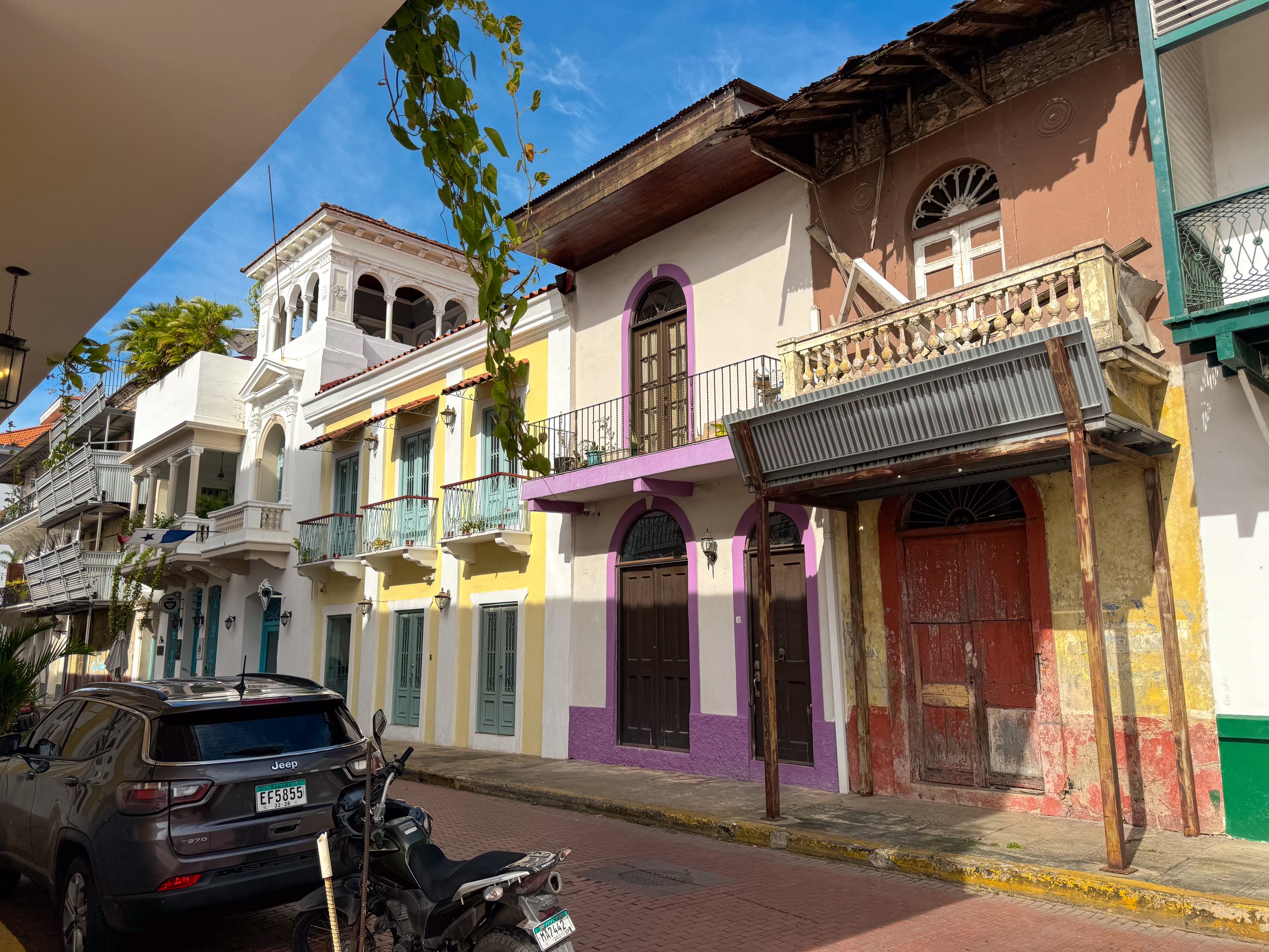
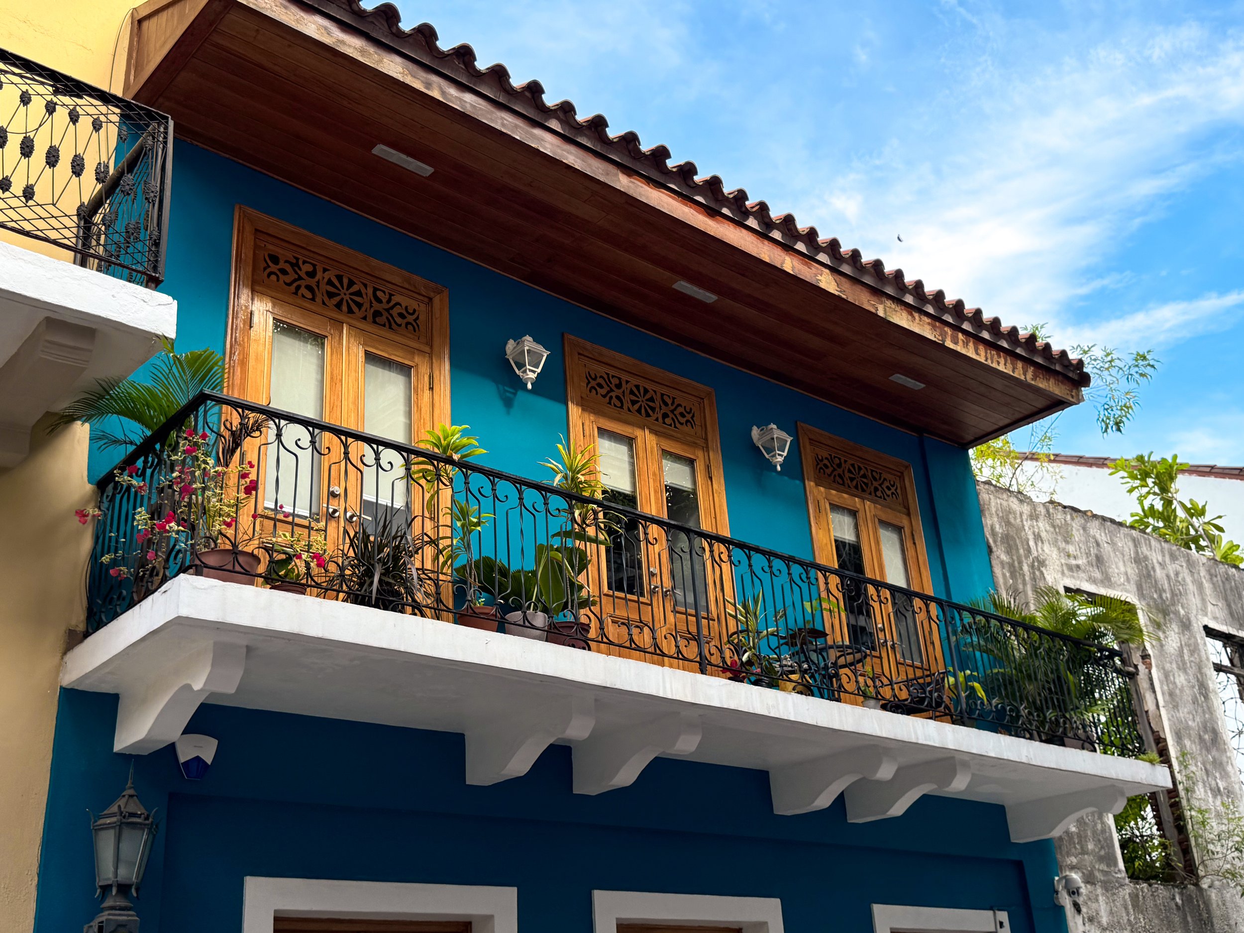
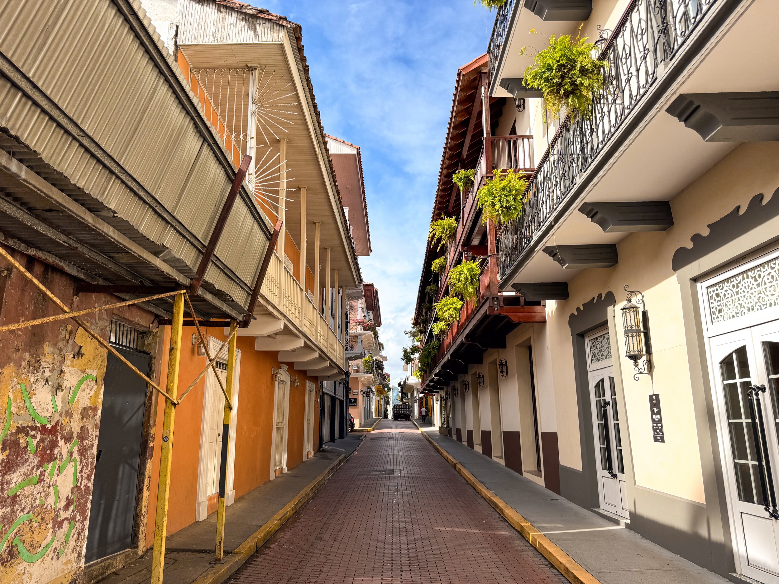
Casco Viejo
Panama City’s old town is a beautiful colonial era neighborhood built on a peninsula overlooking the Panama Bay with walled sections, seafood restaurants, rooftop bars, clothing shops, lush plazas, free museums, beautiful cathedrals and cultural sights.
Elegant Architecture
Walking down the narrow brick streets with the rails of the old street cars still visible feels like stepping through a time capsule. The elegant architecture is akin to the historic neighborhoods of Madrid with ornate facades painted in muted neutrals and pops of color, thin balconies decorated with tropical plants, warmly lit antique lanterns and clay tiled roofs. Some buildings have been well preserved while others juxtapose them as ruins now overtaken by nature.
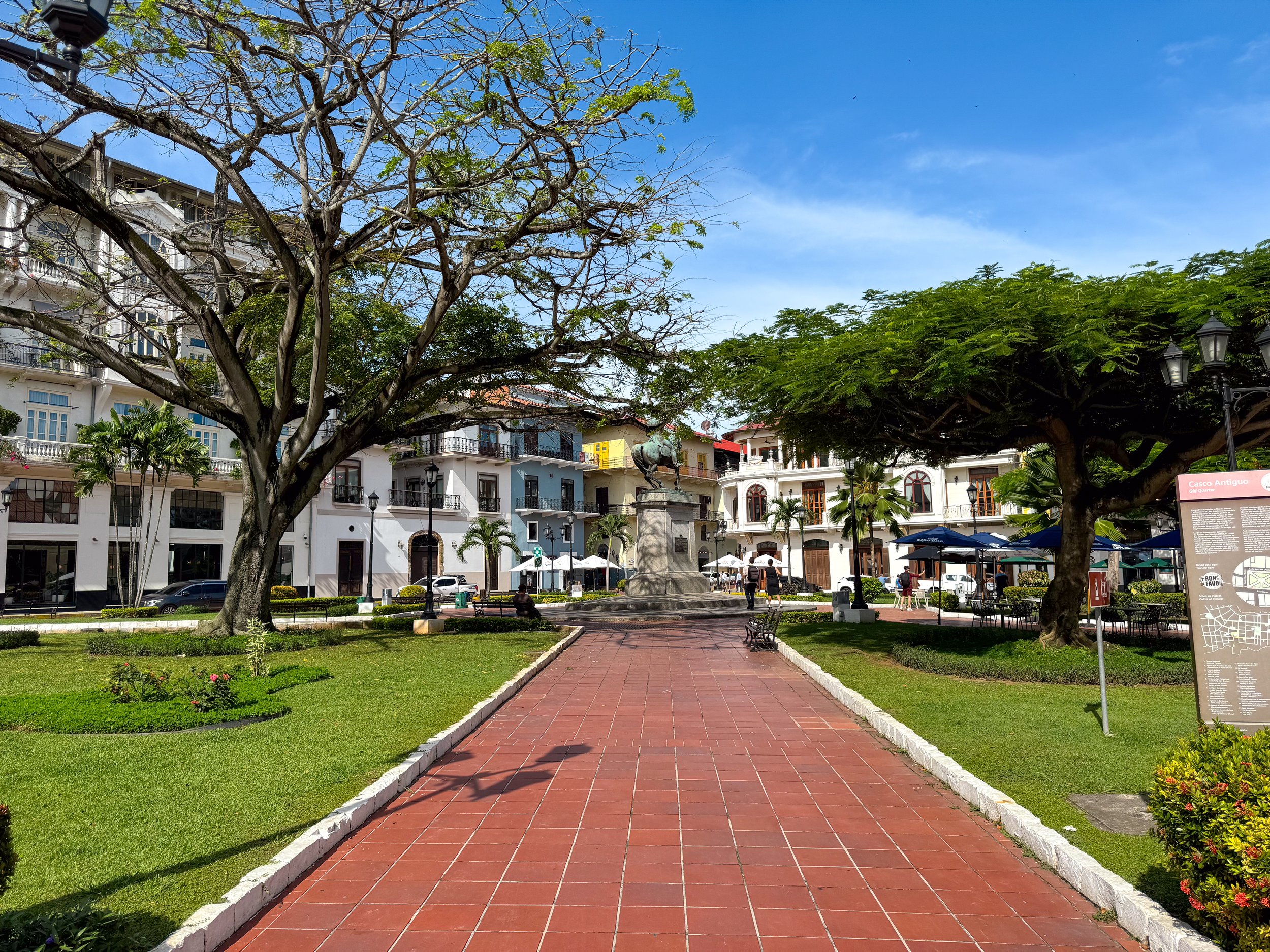
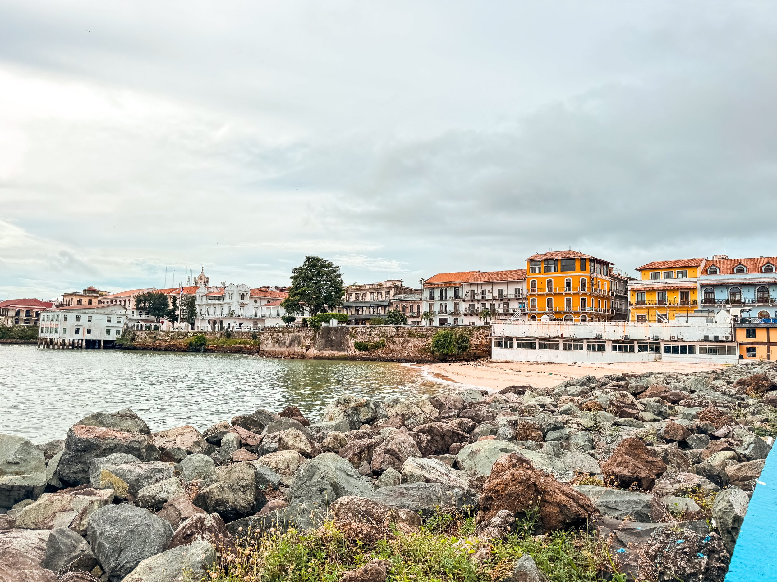
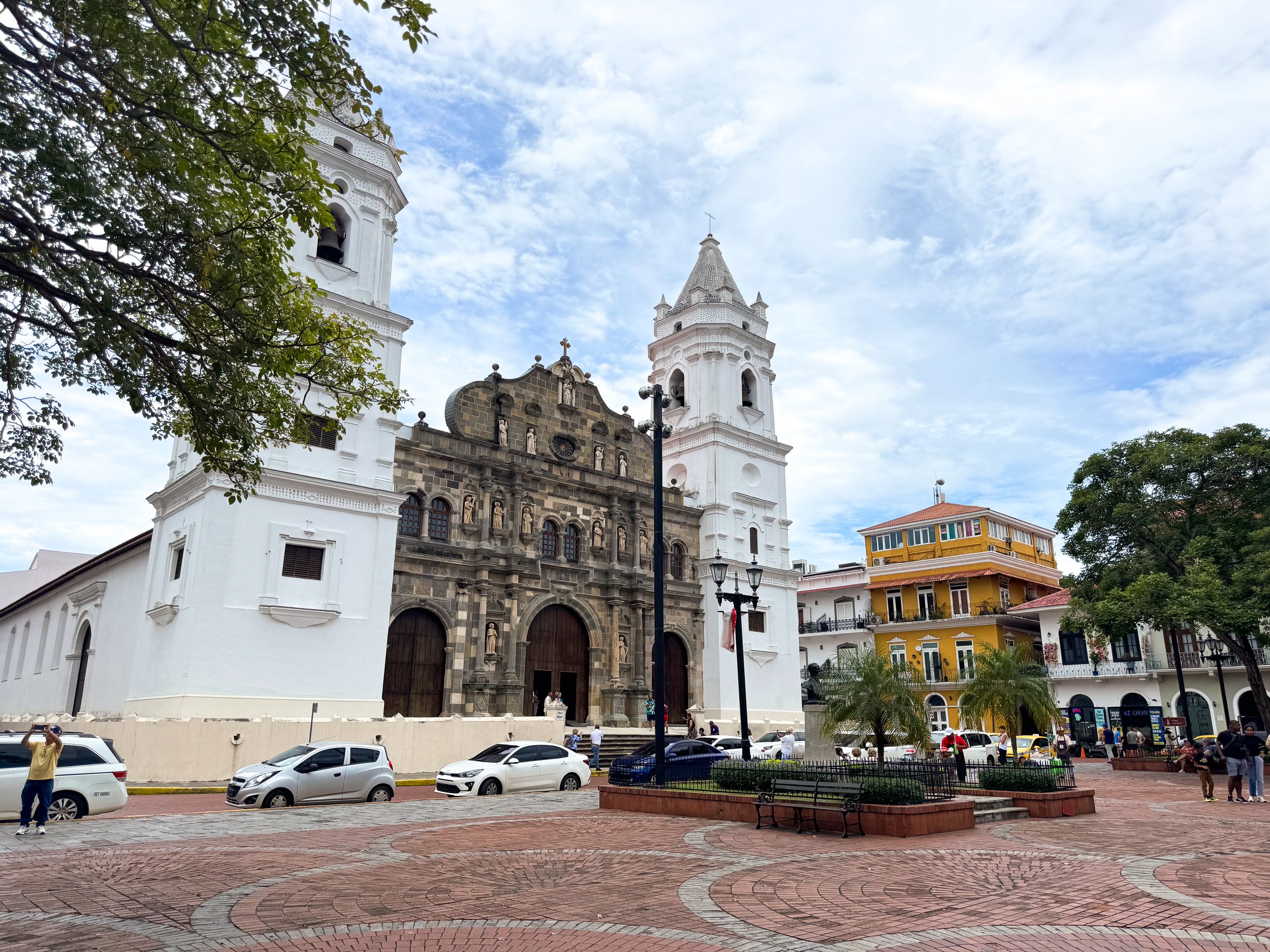
Sights
Plaza Herrera. A romantic and scenic plaza surrounded by elegant architecture, luxury hotels, boutiques and restaurants.
Plaza de la Catedral. A brick paved plaza in the center of Casco Viejo with a gazebo, trees and park benches. It’s flanked by the La Catedral de Panama, colonial architecture and museums. Artists often come here in the early morning with sketchbooks to draw the sights around the plaza.
La Catedral de Panama. The city’s main cathedral built with an ornate stone facade, large wooden door and two white bell towers.
Cintra Costera. A road and walkway several miles along the coast from the modern financial center to the old town of Casco Viejo with city views.
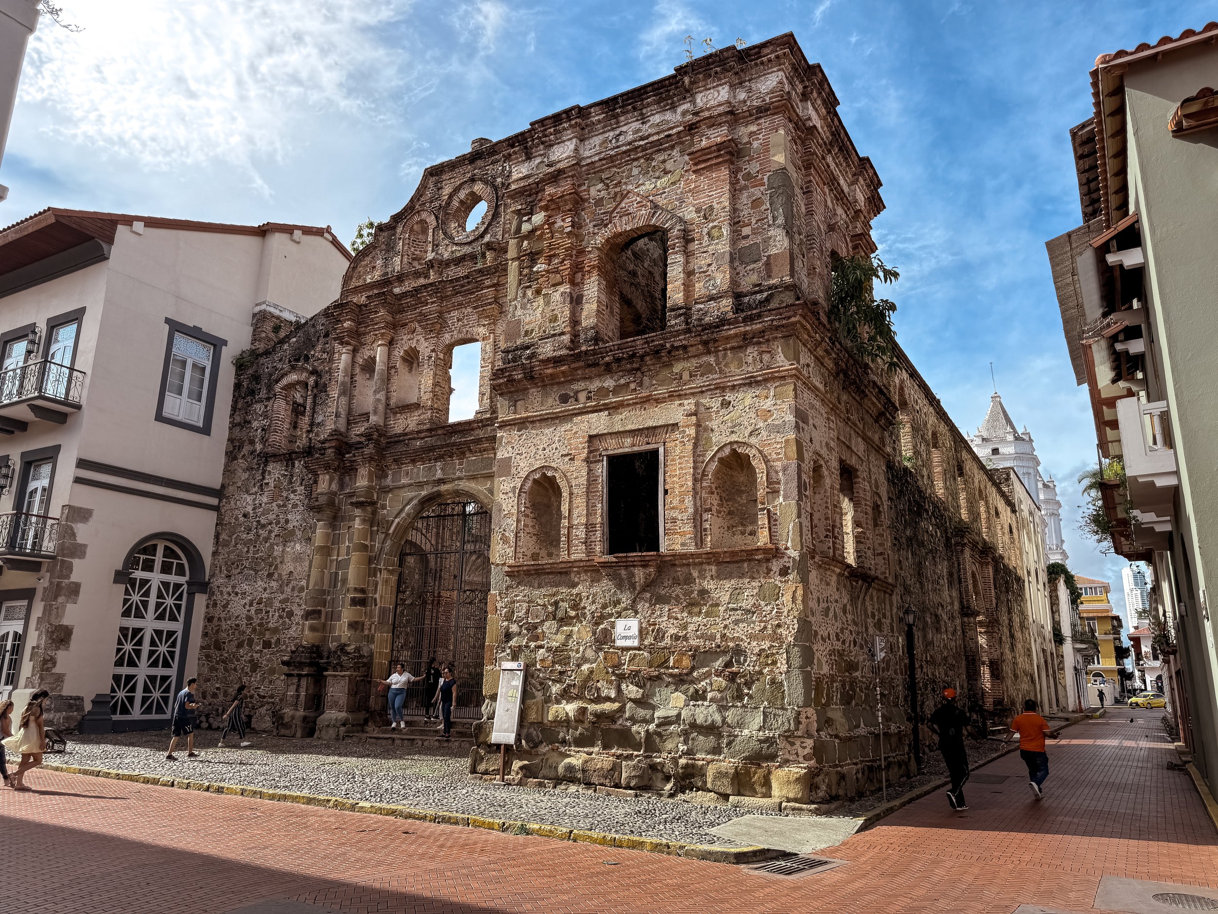
Iglesia de la Compañía de Jesús. The stone and brick ruins of a former church. All that remains is the crumbling facade, walls and interior courtyard
Convento de Santo Domingo. The crumbling brick ruins of a historic convent and church with an adjacent chapel hosing a museum of religious artifacts.
Iglesia Nuestra Señora de La Merced. A stone facade cathedral with two simplistic white bell and clocktowers. We passed by here when the bells were in full swing letting out dongs heard across the old town.
Paseo de las Bovedas. A scenic waterfront walkway along the colonial wall in Casco Viejo. There is a monument dedicated to the history of Panama, views of the modern city and a floral covered walkway with vendors selling handicrafts and souvenirs.
Corridor La Quince. An arts district outside of Casco Viejo with graffiti and murals covering the buildings & string lights draping the streets. Many of the colonial buildings are in disrepair while others have been renovated to modern standards.
Plaza Carlos V. A small garden plaza overlooking the Panama Bay dedicated to one of the first Spanish rulers of Panama credited with the idea of creating the Panama Canal. Guna women often sell their Molas and other handcrafted products from here.
Plaza Medio Baluarte. A small but photogenic plaza with colorful colonial buildings, a central fountain and an overlook along the wall. We watched as artists painted the city scenery early one morning.
Plaza Simón Bolívar. A plaza with a large monument dedicated to Simón Bolívar, the leader who lead several Central and South American countries to independence from Spain. The plaza is flanked by a cathedral and restaurants.
Amador Causeway. A palm lined road and walkway connecting three islands near the mouth of the Panama Canal. Come here to walk the scenic 3km road, watch ship waiting to enter the Panama Canal and admire views of the city skyline. Along the road are bike rentals, restrooms, overlooks and historical placards. Towards the islands are numerous restaurants, hotels, a marina and cruise terminal.
Miraflores Visitor Center. A lock system and lookout on the Panama Canal. Come watch ships pass through, learn about the canal’s history and watch a movie about it narrated by Morgan Freeman.
Good to Know: Plan your visit around when ships pass through the locks. Not knowing that ships pass through at infrequent times, the next one wasn’t for over 3 hours when we visited.
Getting Here: The visitor center is reachable by bus from Albrook Station or taxi. It can take a little over an hour to reach from Casco Viejo by bus or 20min by car.



Museums
Panama Viejo. An archeological park with the crumbling brick and stone ruins of the original colonial Panama City. The city had many houses, multiple churches, roads, a grand plaza, market, cistern, bridge and tall bell tower. It was left to ruin after a major earthquake, multiple fires and pirate attacks. Come here to climb the 116 step tower with lookouts over the ruins, modern day skyline and Pacific Ocean. The view offers a unique contrast to the bustling city surrounding it.
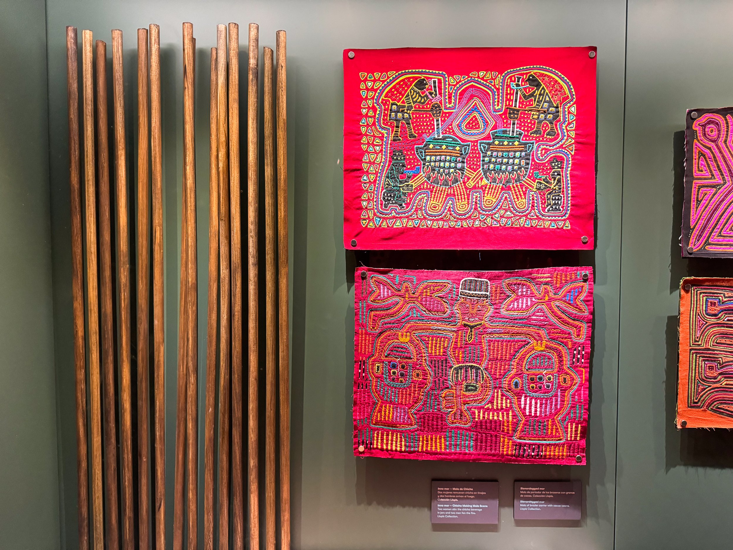
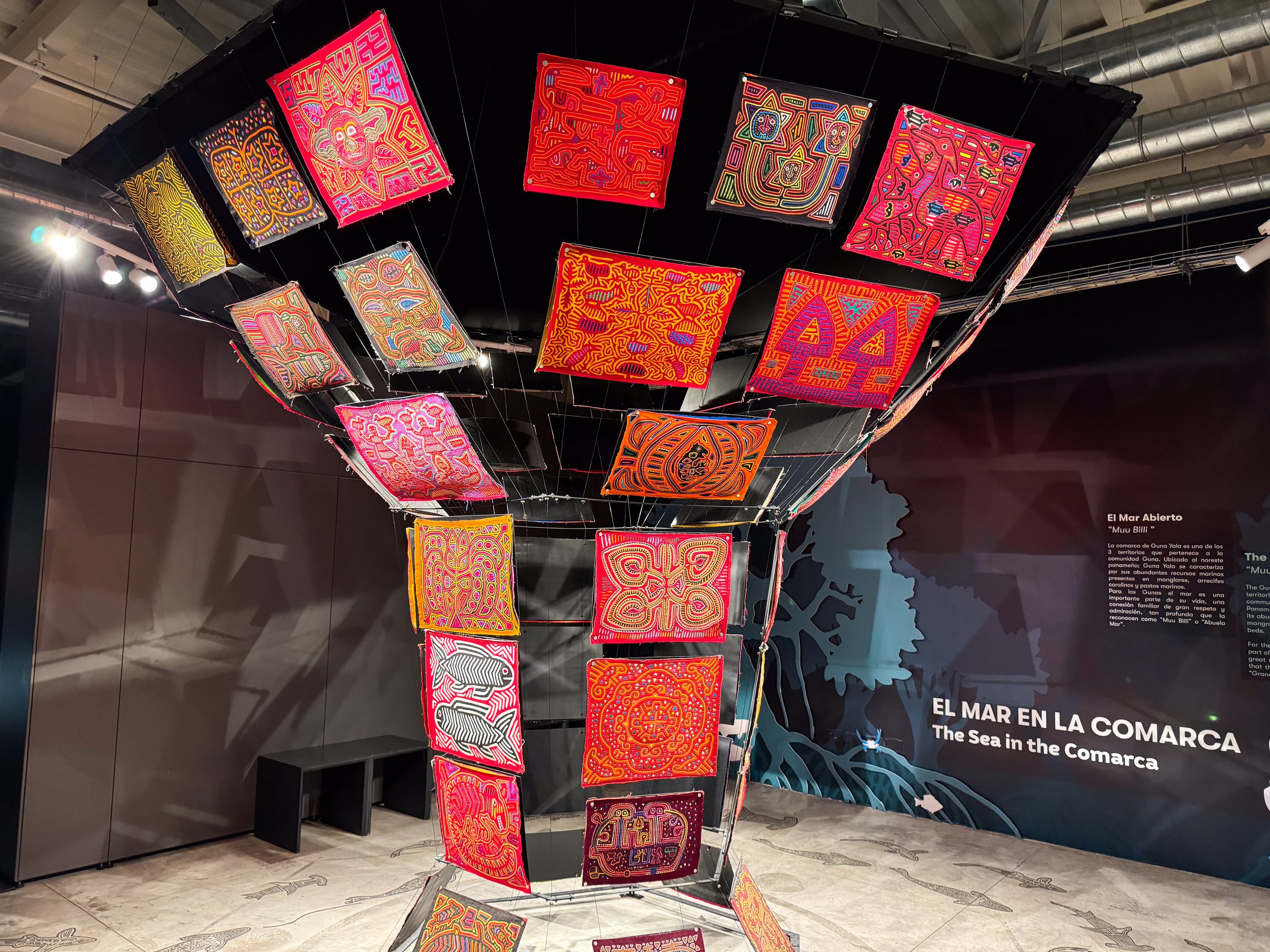
Museo de la Mola. A museum dedicated to the colorful and intricately patterned textiles made by Panama’s indigenous Guna Women. The well curated exhibit explains the cultural importance of the women and their textiles, how they’re handcrafted and the stories behind them. It also features an interactive sound and light exhibit, an origami station and a magnetic wall to add to the museum’s Mola. The museum is free to enter.
Museo de la Historia. A small history museum in Casco Viejo about the founding of Panama and its independence from Spain and Colombia, the diverse cultures that make up Panama and the history of the Panama Canal. Come to see one of Panama’s first ever flags, a constitutional manuscript, and the national anthem. It’s free to enter.
Mi Pueblito. An open air museum set up like small towns with reproductions of colonial buildings and a nature trail with reproductions of thatched structures from Panama’s indigenous tribes. When we visited, there were many food vendors set up selling local and local dishes and snacks.
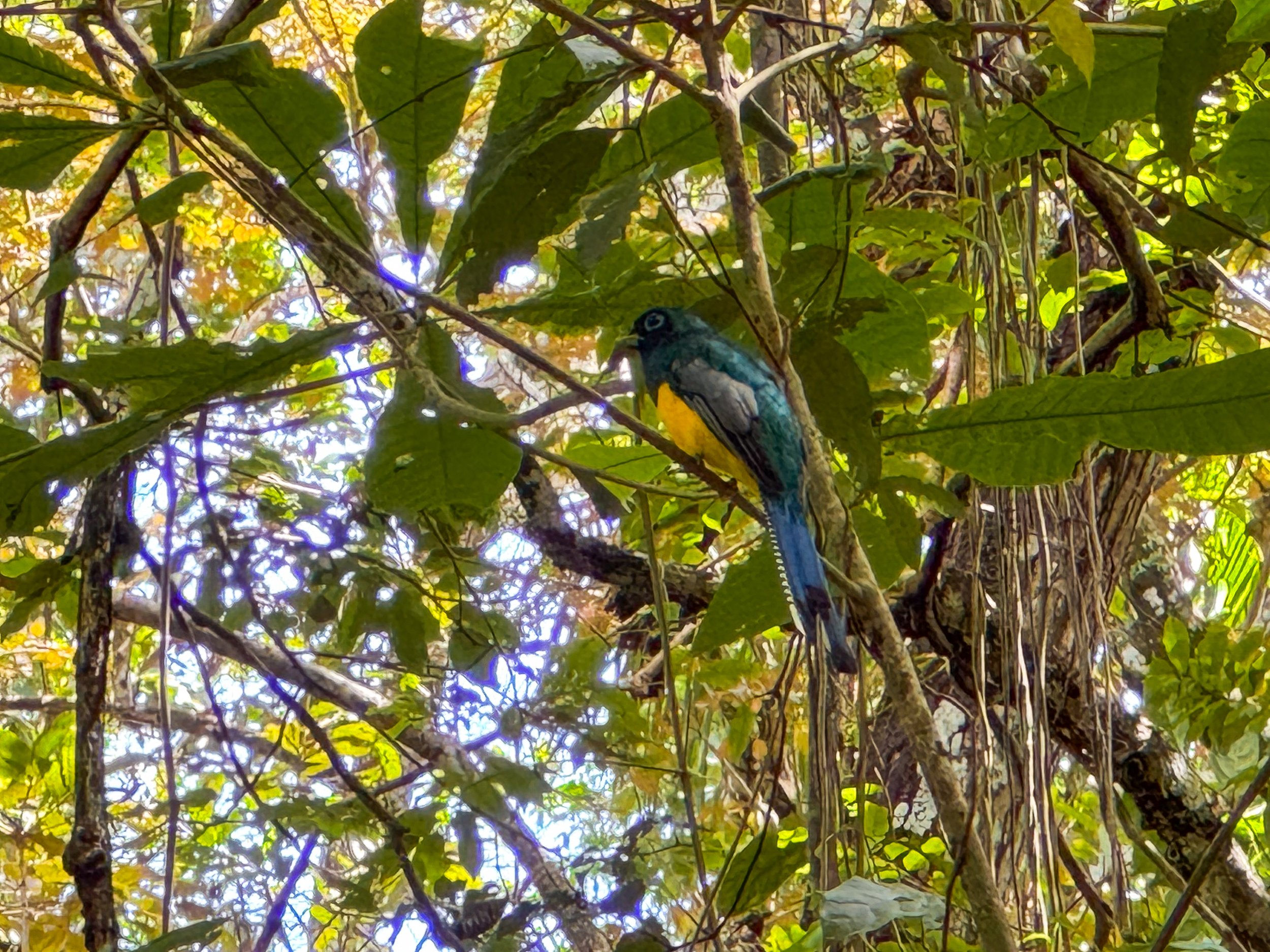
Parks
Parque Natural Metropolitano. A tropical nature park with hiking trails and scenic overlooks of Panama City’s skyline. Come here to spot monkeys, sloths, agoutis and humming birds. We spent over 3 hours walking the trails and spotting wildlife through our binoculars.
Trails
El Roble. A 0.7km trail and road leading from the visitor center to the Mono Titi trail
Camino de Mono Titi. A 1.2km trail through the forest ending with views of Panama City’s skyline.
La Cienaguita. A 1.1km trail through the lush forest leading from end of the Mono Titi trail back to the El Roble trail.
Los Caobos. A 0.8km trail branding off of the El Roble trail and ending at the Visitor Center. This trail passed through dense forest where we spotted monkeys, a sloth and agouti.
Getting Here: The park is reachable by bus one stop on the bus from Albrook Station. It can take a little over an hour to reach from Casco Viejo.
Cerro Ancon. A paved nature trail leading from Mi Pueblito to the city’s tallest natural point. Come here to overlook Casco Viejo, the city’s modern skyscrapers and ships passing through the Panama Canal.
Soberania National Park. A large national park in the center of the country located along the Panama Canal. We came here hoping to hike, spot wildlife and watch ships on the Canal.
Unfortunately after hours of trying to reach certain sights in the park via bus, on foot and Uber, we learned many of the park’s activities are run by private resorts with high ticket prices, require advance reservation or are inaccessible. Tired and a little defeated, we decided to return to Panama City and make the most of our day.
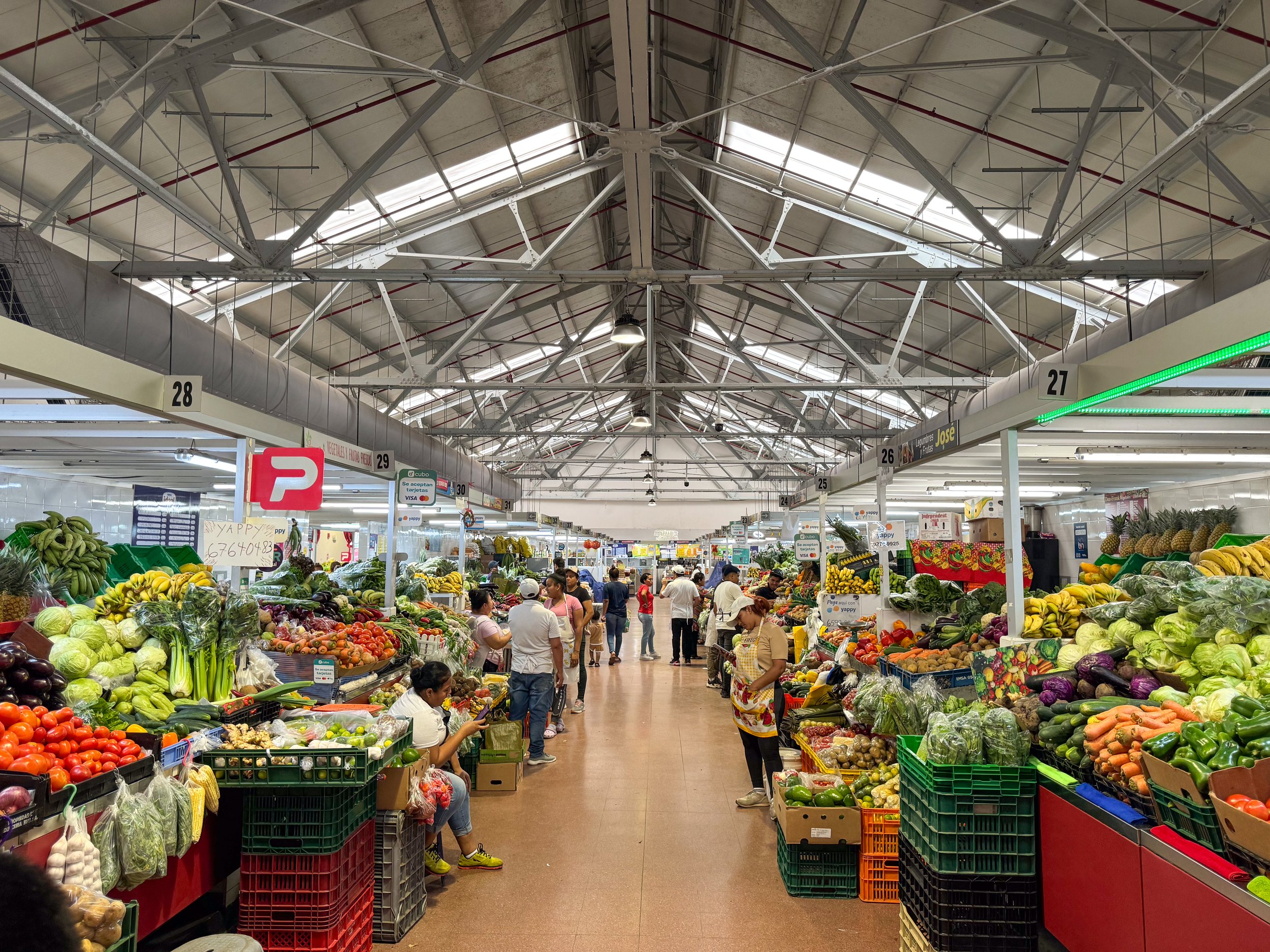
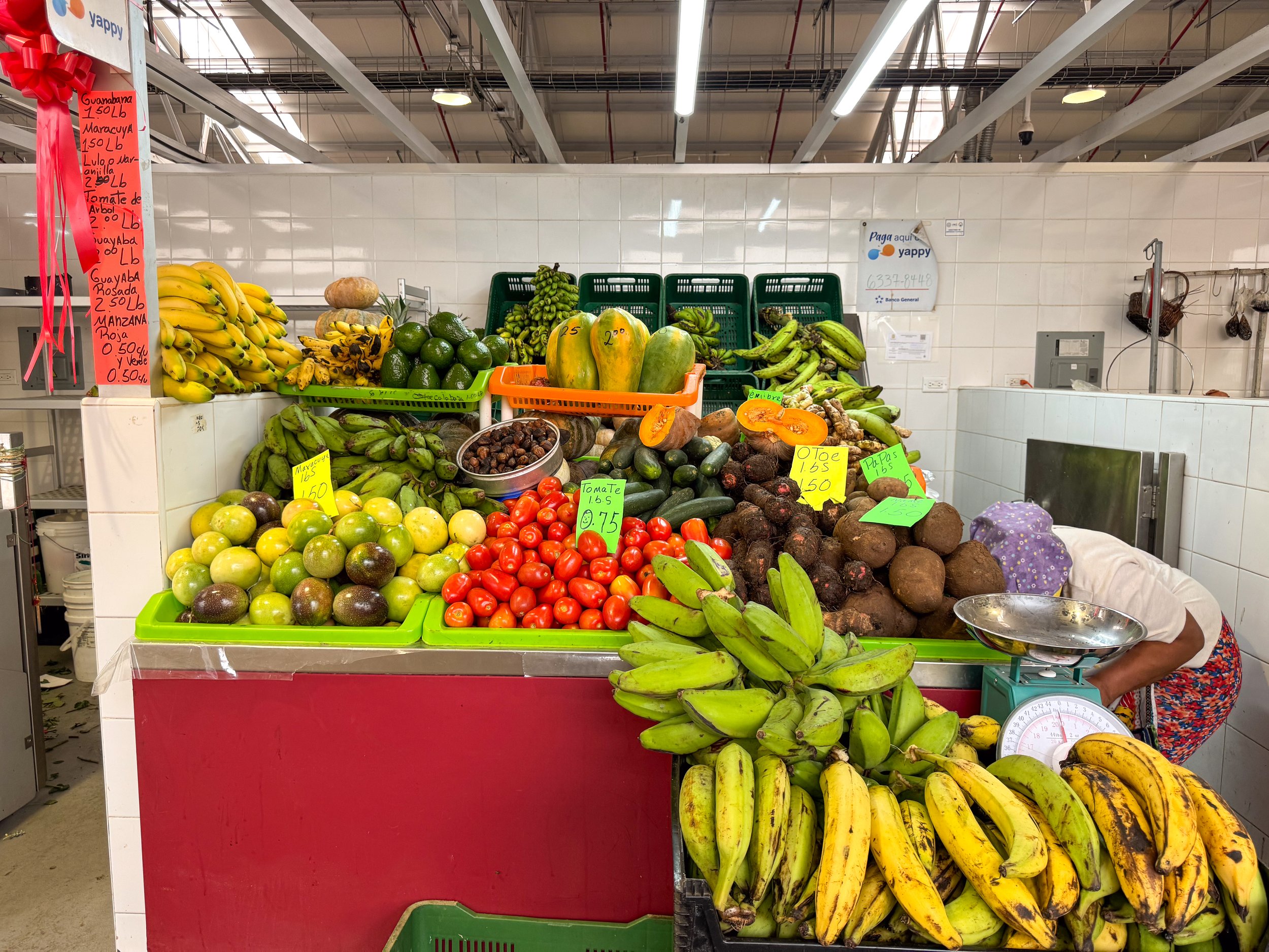
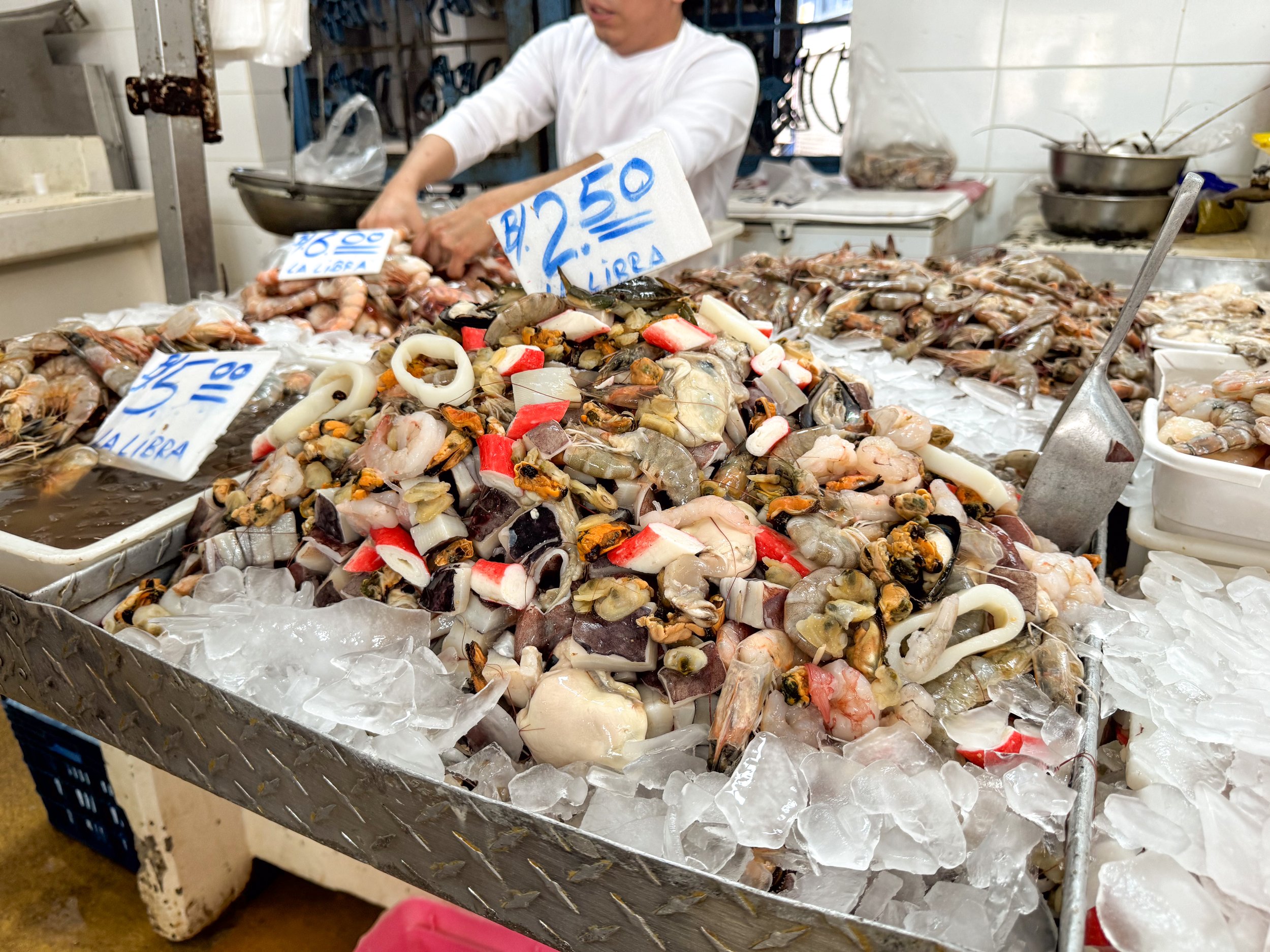
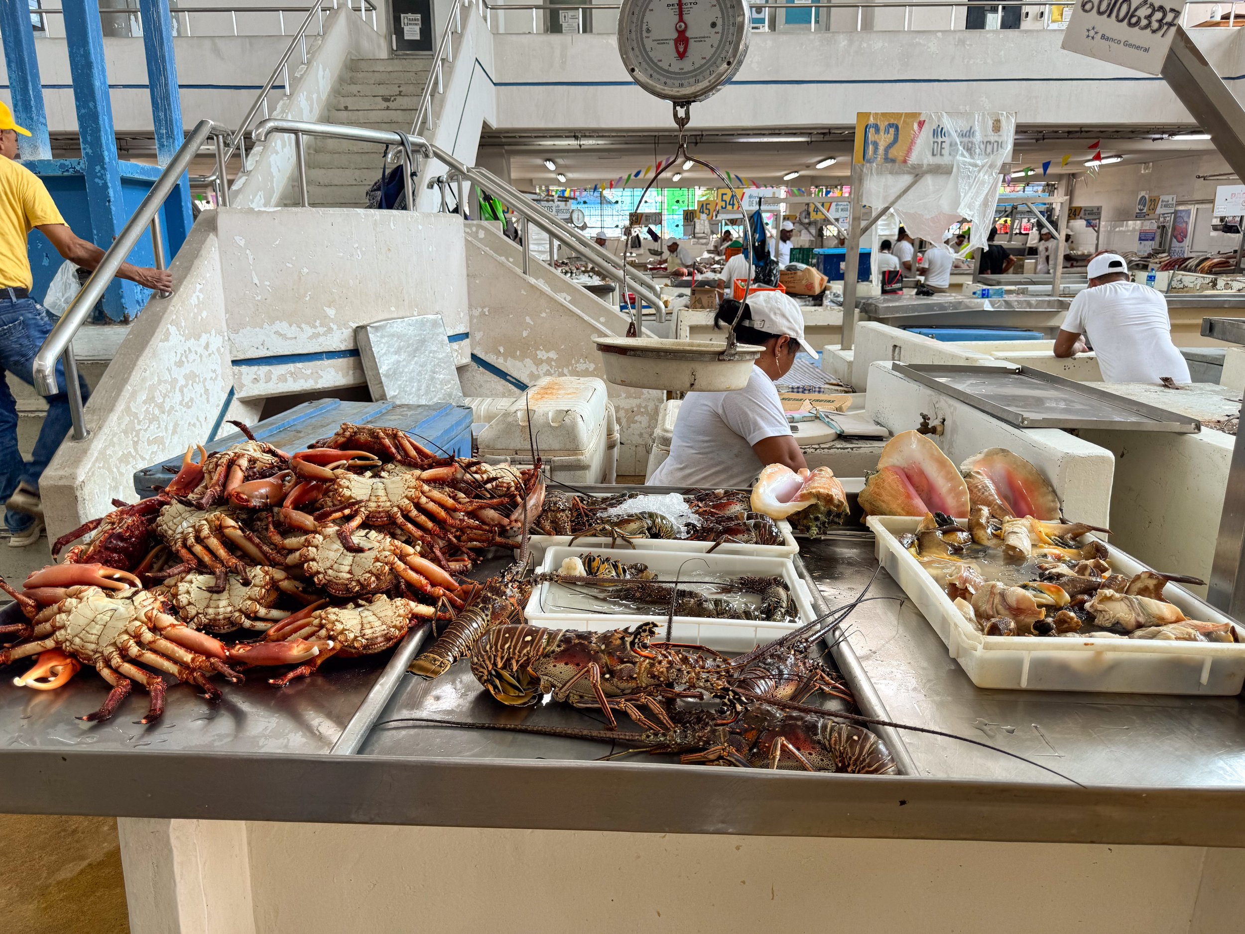
Markets
Mercado San Felipe Neri. A food market with butchers selling locally farmed meats and vendors selling locally grown produce, fruits, eggs, grains, herbs, oils and juices. We shopped for a week’s worth of groceries to cook with at our Airbnb.
Mercado de Mariscos. A seafood market with vendor selling piles of whole fish on ice, trays of shrimp, live crab and lobster, queen conch and mixed seafood. We bought a 2 lb Corvina, Panama’s favorite fish, and fried it in traditional methods. Opposite of the market is a second building with restaurants and vendors cooking up the day’s fresh catch. Here we ordered Caribbean shrimp, coconut rice and locals beers from Restaurante Allison.
Avienda Central. A pedestrian street stretching from Cinco de Mayo station to Casco Viejo with commercial shops, grocery stores, restaurants, cafes and street vendors selling produce, especially plantains stacked on tables and pineapples in the backs of trucks.
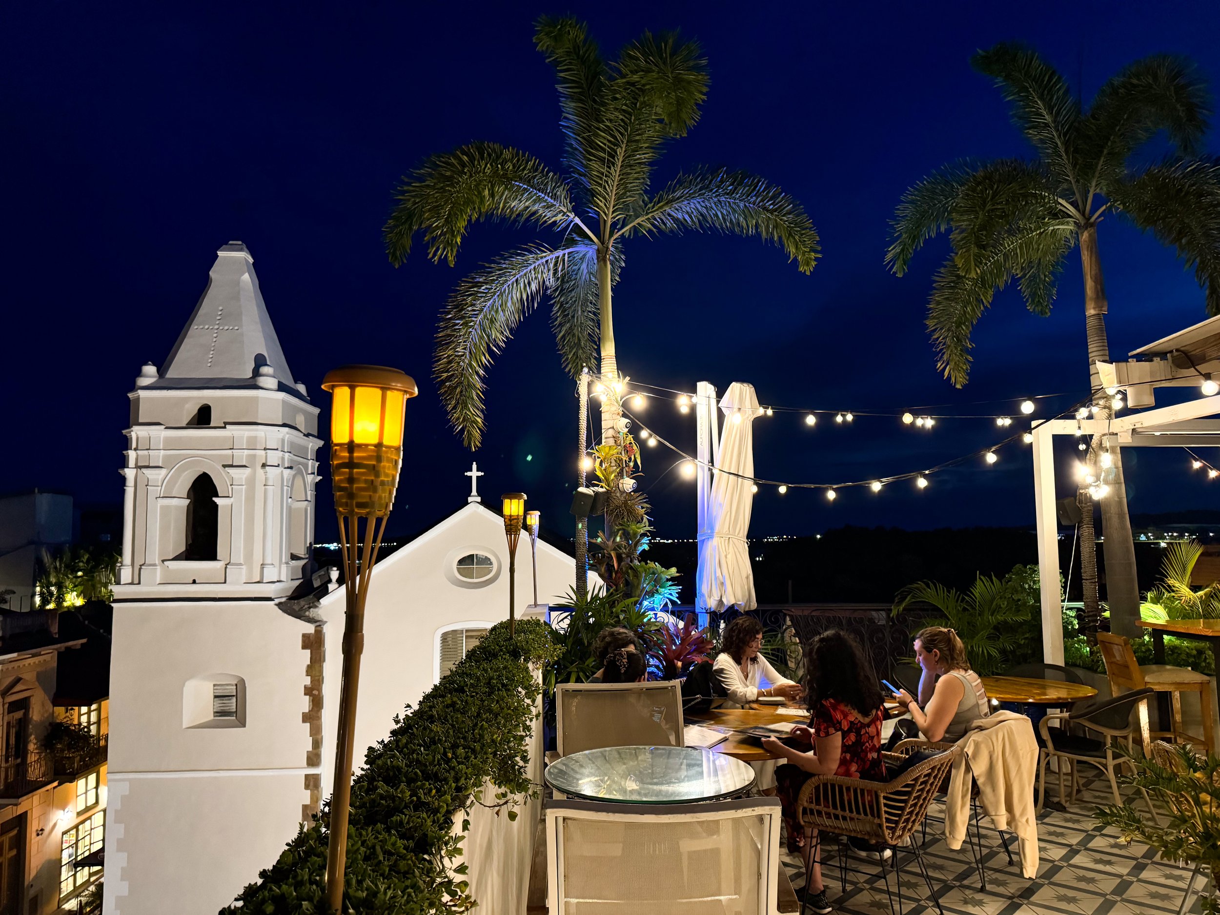
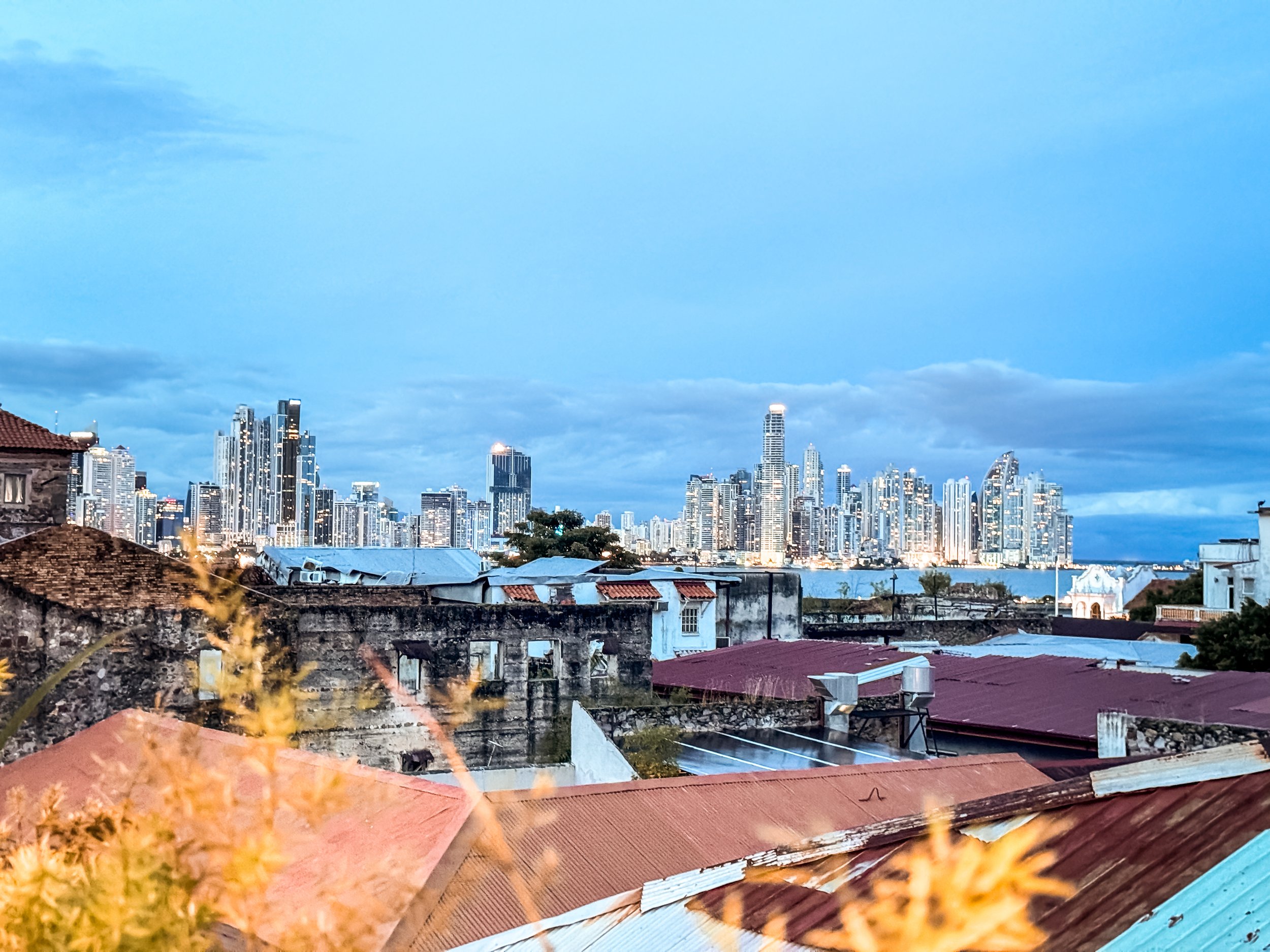
Where to Eat & Drink
Casco Mar. A restaurant along the seaside of Casco Viejo with a Spanish style tapas and paella menu. We sat outside listening to the waves and sounds of the city. To eat, we shared the plantains, passion fruit ceviche, white fish stuffed peppers, coconut flan and the most refreshing mojitos.
El Santuario. A very romantic and higher end restaurant built within the ruins of a former monetary. The interior is defined by its exposed stone walls, brick arches, high ceilings, terracotta tiled and patterned wood floors. The menu specializes in Panamanian and Spanish dishes. We shared a seafood paella with scallops, langoustine, mussels and calamari. To drink, we each ordered a glass of red sangria.
Snack Shack. A beautiful restaurant in Casco Viejo. W ordered a breakfast bowl of tropical fruits (mango, pineapple, banana and papaya) with a coconut cream sauce as well as a traditional breakfast with fried eggs, toast, potatoes and avocado. There is a Tiki Bar in the garden area at the back of the restaurant.
Café Unido Casco Viejo. An old town coffee shop and cafe with Panama grown and roasted beans.
Vista Corona Panama. A tropical rooftop restaurant and bar with palm trees, tiki torches, house music, a bar built from a VW bettle and views of the old towns rooftops and spires. We came here to relax with a cocktail after a long day of hiking and busing. Try the rum cocktails like an Old Cuban and Tobaga.
Tantalo Rooftop Bar. A rooftop bar in Casco Viejo with cocktails and local beers. We came here for sunset drinks overlooking the city’s terracotta roofs, cathedral towers and modern skyscrapers across the bay. Fittingly, we ordered a drink called, Noche en el Casco (Night in The Old Town).
Pedro Mandinga Rum Bar. A warmly lit rum bar with a wooden interior and old world charm. The bar features rums from countries across the Caribbean and Central America including Panama and their own distillations. Try a glass neat, order a flight of rums, a classic cocktail or
VIP. A boutique and juice bar connected to Monos con Arte. Order a fresh Pepa Fria (cold coconut) to enjoy while walking around the old town.
Where to Shop
Casco Viejo is a very fashionable place with well dressed locals and tourists, boutiques and clothing shops selling Panama hats, linen clothes, colorful outfits and items made with tropical patterns and natural materials.
Boho Shack. A resort style street wear boutique with patterned shirts, shorts and pants. We bought a palm embroidered linen shirt! We’ve also visited their location in Cartagena where the brand is based.
Bellezas de Panama. A shop selling Panama hats, hand woven Molas and various souvenirs. We found this location to have the best selection and most affordable authentic Panama hats. The typical price is $40-$45 but the shop owner sold ours to us for $30.
Mansion Herrera Clothing Shop. A boutique clothing shop with elegant linen clothes and custom Panama Hats.
Lu Maca Coffee Shop & Store. A cafe and clothing store with tropical shirts, accessories and a small selection of Panama Hats.


The San Blas Islands
The San Blas Islands are a series of many low lying islands and shills on the Caribbean side of the country. They are a tropical paradise for beach hopping, snorkeling and learning about the Guna Yana indigenous community.
The Guna Yana Indigenous People. The region is an autonomous zone in Panama home to and managed by the Guna Yana. While here, it’s common to see islands covered in palm reed and thatched houses, women wearing traditional Molas and fishermen paddling between islands in dugout canoes.
Touring the Islands. We voyaged into the sea passing palm covered islands, looking back to see views of Panama’s mountains as the spray of the sea misted across our faces.
Private Island. After a scenic boat ride, we arrived at a beautiful private island covered in palm trees and surrounded by sandy shores with vibrant blue water and patches of seagrass.
Sand Bar. Two hours later, our guides brought us to a shallow sand bar with crystal clear water, star fish and a small coral reef to snorkel above.
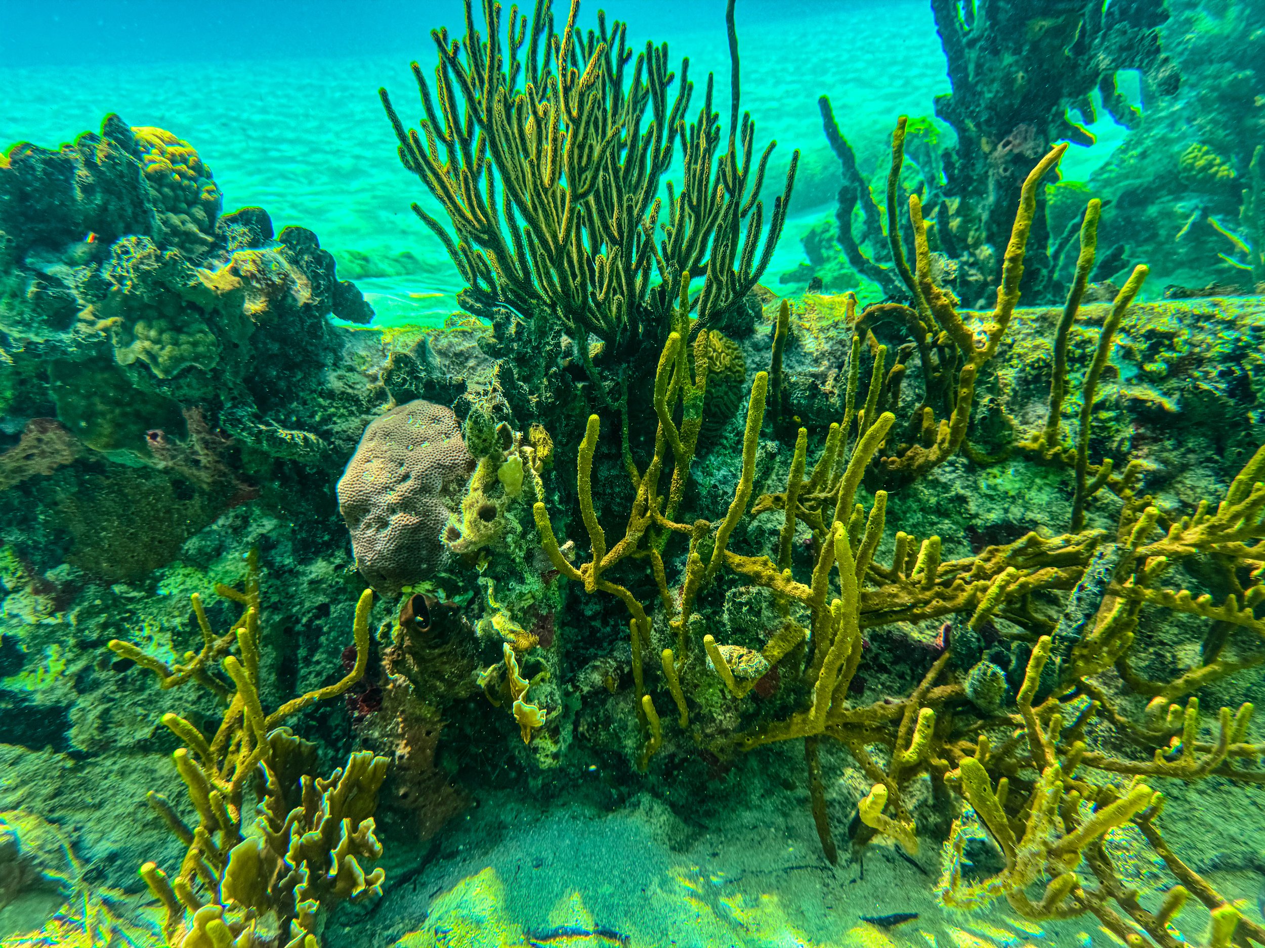
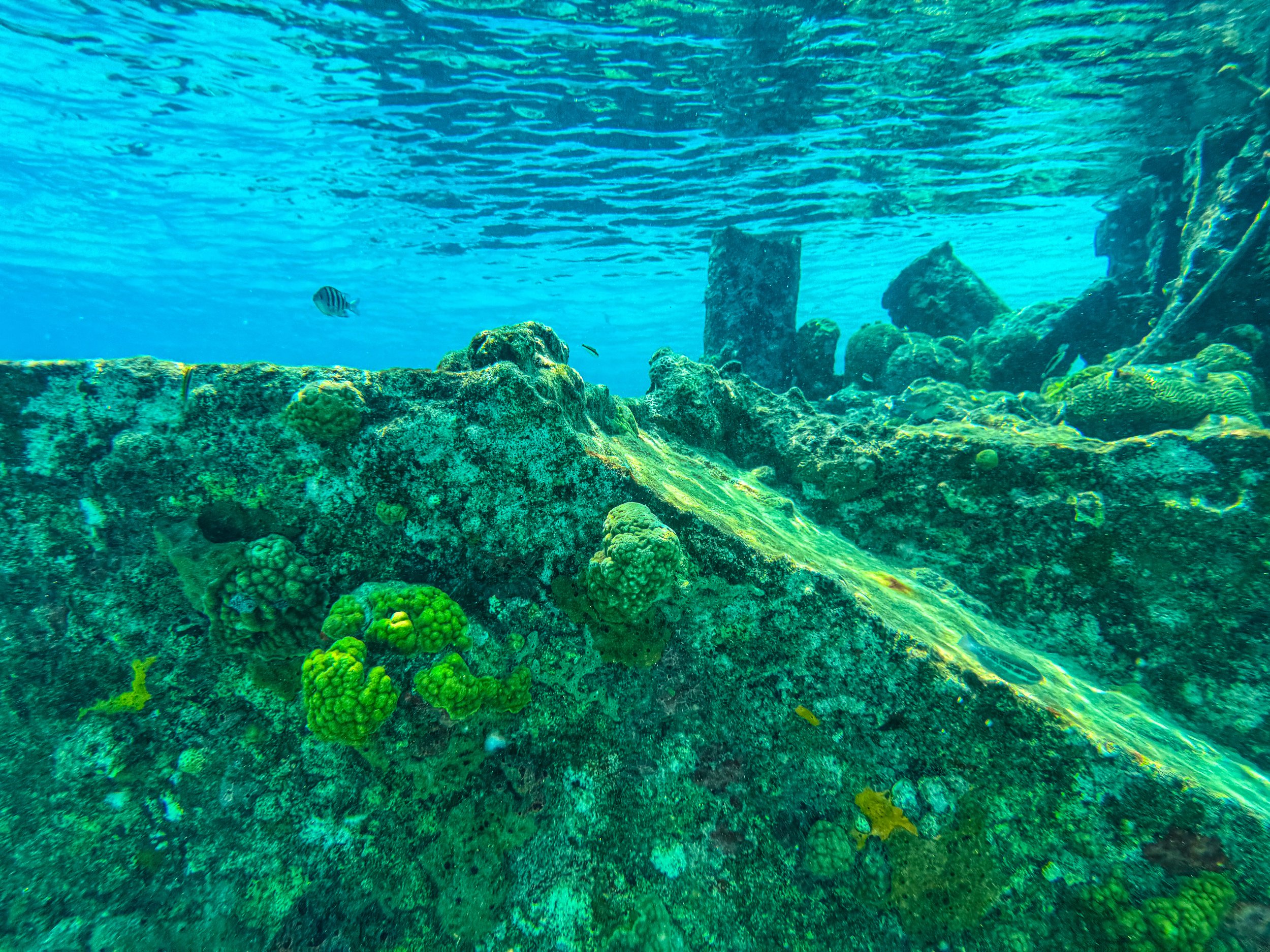
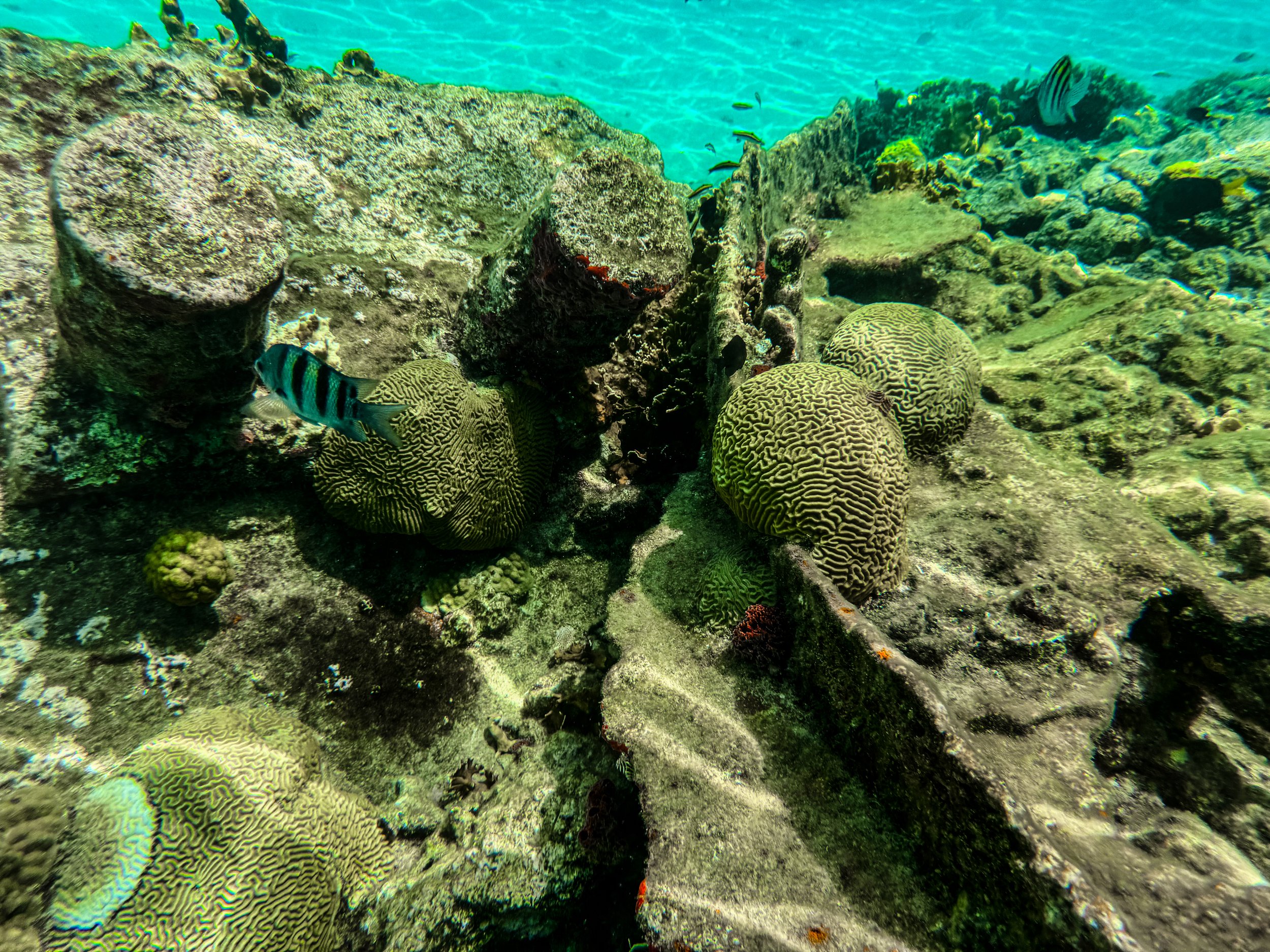
Dog Island. In the early afternoon, we arrived a an island with a sunken ship taken over by a thriving reef with all types of colorful corals and tropical fish. On shore, we were each served a whole fried corvina fish with patacones, fresh fruit and a local beer.
Isla Diablo. Towards the late afternoon, we visited one more island for beach time and tropical drinks before returning to Panama City.
Getting Here: We booked a tour with Panama San Blas Tours through Viator. Our guide picked us up at 5:15am and drove us 3 hours across the country through verdant forest and hilly terrain to reach the Caribbean coast and San Blas Islands. The last 30min of the drive are nauseating and extremely curvy with steep hills. Overall, the full day tour was incredibly memorable, very relaxing and well organized.
Taboga Island
The City of Taboga. Taboga is a colorful town built into the lush hillside of the island with laidback vibes, beaches and hiking trails. Here, locals drive around on golf carts and say hola (hello) or buenas (short for good day) as they pass by. The narrow streets and alleyways are lined with flowering trees and bushes with many light boxes housing statues of the Virgin Mary.
Playa La Restinga. A clean sandy beach that bridges Taboga and Morro Islands with views of the ship dotted harbor and Panama City skyline in the distance. The shore is covered in pink and white sea shells seen as decor on houses across the island. There are vendors selling beachwear, serving piña coladas in pineapples, preparing fried seafood and renting umbrellas, lounges and boats.
Sendero de Tres Cruzas. Following the winding walkways up the hillside, we reached the trail head. The trail leads deep into nature so much so that you forget about that a sprawling metropolis is still nearby. As we hiked through the humid forest, we heard the sounds of breaking of branches, the falling of fruit, bussing insects and squawking birds. Along the way, we spotted tarantula, numerous neon green and black poison tree frogs, large iridescent blue butterflies, skittish lizards and spiraling vortexes of vultures.
Cerro El Vigía. Sendero de Tres Cruzes leads to an uphill but easy to walk road to the island’s summit, Cerro El Vigía. From the summit, the town of Taboga is dwarfed by the panoramic views of the lush island, hundreds of ships anchored in the bay and city beyond.
Getting Here: Visiting Taboga is an easy day trip from Panama City. We took the Taboga Express Ferry from the Amador Causeway. Along the 30min boat ride, the ferry passes dozens of anchored freighters and ships from all over the world waiting to enter the Panama Canal.
What to Eat & Drink
Cuisine
Ceviche. White fish cured in lime juice with peppers, red onion and cilantro. It’s one of the most poplar dishes seen at restaurants across Panama.
Corvina. A white fish popular in Panama. It’s often grilled or fried whole.
Paella. A pan rice dish cooked in a pan with broth, spices, veggies, and meat. It’s also called One Pot on the Caribbean side of the country.
Patacones. Twice fried and smashed plantain.
Rice & Beans. The classic Central American dish made from the two ingredients with spices.
Hojaldra. Fried dough often served at breakfast.
National Beers
Balboa. A semi nutty bear similar to a Modelo.
Panamá. A light beer similar to a Bud Light.
San Felipe. A pretty standard and easy drinking lager.
Where to Stay
La Manzana. A large mixed use building with modern apartment rentals, artist studios and a co-working space. It’s a quick 10 minute walk through the arts district to Casco Viejo. We stayed in well equipped and designed a studio here during our time in Panama City. Book here on Airbnb.
Getting Around
By Metro. Panama City has a very modern and efficient metro system with two lines crossing town. We took the metro from the airport to just outside of Casco Viejo neighborhood.
By MetroBus. Buses are the most economical way to navigate the Panama City though inefficient. Expect to wait a minimum of 30 to 45 minutes for most lines.
Albrook Station. Panama’s Central Terminal for the metro and buses. City buses from here are generally efficient and affordable. There are routes from here to destinations across Panama.
Tarjeta Recargable Para Metro y Metrobus. Buy a re-loadable card at any metro station for $2. Fares cost around $0.25 to $0.50 for both metro and metrobus.
Yellow Cabs. Taxis are all over the city. Drivers looking for fares will often tap their horn looking for passengers as they drive around the city.
Uber. A secure alternative to taxis. Fares cost $1-$10 to get around the city depending on distance and time of day or $20-$30 to/from the airport.
On Foot. Casco Viejo is very walkable. Any further distances will require public transit or an Uber.
Panama Stop Over
We booked our flights with Copa Airlines taking advantage of their stopover program when transiting through Panama City. The airline paid for our flight to Panama City in route to your our destination. Stopovers can last anywhere from a minimum of 24 hours to a maximum of 7 days. We stayed the full 7 days. This saved us hundreds of dollars on flights and allowed us to visit a county that’s been on our list for years!
Good To Know
Currency: Panama uses the Panama Balboa and US dollar interchangeably. They are valued equally.
Toilets: Like many places in Central and South America, the plumbing can’t handle toilet paper. If there is a bin next to a toilet, that’s where it’s intended to go.
Language: Spanish and English are widely spoken by most people, restaurant menus and most museums have descriptions in both languages.
Ticket Prices: The costs for foreign tourists at most sights and museums are about 20-30% higher.
Tipping: 10-15% is standard for tipping
Safety: We found Panama to be a very safe country. People are friendly & helpful. There is a strong tourist police and military presence throughout Panama City, especially the old town, likely due to the president’s residence being here.
Tourism: We did not come across a single American tourist. Many people visiting came from across Panama and other country’s in South America.
LGBTQ: Panama is a very welcoming country to the LGBTQ community. We saw many other gay couples, travelers and tour operators.
For Next Time…
We loved our time in Panama and with Copa Airline’s Stopover Program, we will certainly be returning. When we do, we hope to visit more areas along the Pacific and Caribbean coasts.
Coiba National Park. A bio reserve with beaches, reefs and rainforest. Come to hike the rainforest, snorkel with marine life, swim with whale sharks, surf pacific waves, spot tropical birds, monkeys and sloths.
Bocas del Toro Archipelago. A chain of 300 plus Caribbean islands with beaches, coral reefs and surfing spots. It’s hub for Afro-Caribbean cultures with calypso, reggae and soca music and cuisine made from seafood cooked in coconuts and seasoned with spices. Popular islands to visit are Colon, the Bastimentos and Carenero.
Key West, Florida
Key West is a tropical island at the end of the Florida Keys where roosters roam free, flip flops are worn as dress shoes and beach vibes rule above all else. The key is home to many restaurants, bars, boutique hotels, historic sights, colorful wooden houses and waters dotted with sailboats.
Key West
Key West is a tropical island at the end of the Florida Keys where roosters roam free, flip flops are worn as dress shoes and beach vibes rule above all else. The key is home to many restaurants, bars, boutique hotels, historic sights, colorful wooden houses and waters dotted with sailboats.

The Overseas Highway
The Overseas Highway is scenic stretch of road crossing the ocean and connecting the Florida Keys with mainland Florida. We made a day trip of our drive on the highway, stopping at multiple keys along the way.
Tiki Bar at Postcard Inn. A hotel bar on Islamorada credited with inventing the Rum Runner cocktail. We stopped for a drink to find the restaurant under renovation.
Robbie’s. We ordered a Rum Runner here and stopped to hand feed the tarpon swimming around the restaurant’s dock. For $5, we bought a bucket of fish and dangled them over the edge of the dock. Soon after, a tarpon jumped from the water snatching the fish directly from our hands.
Keys Fisheries. A restaurant on Islamorada with all manner of fresh caught seafood. We stopped here for their famous lobster ruebens.
Sea Turtle Hospital. A sanctuary to rehabilitate rescued sea turtles on Marathon Key. Tour the facility and its tanks of sea turtles. I visited here on a trip to the keys years ago.
7 Mile Bridge. A stretch of the overseas highway crossing 7 miles of open ocean. Stop at the 7 Mile Bridge Vista to walk onto the pedestrian bridge and overlook and the blue tropical seas. We spotted manatees swimming here.
Bahia Honda State Park. We stopped here for some afternoon sun and beach time. We lounged in the shallow waters of Loggerhead and Sandspur beaches.
Big Pine Key. One of the last keys before reaching Key West. We kept an eye out for the Key Deer, an endangered species of tiny deer native to the island.
The Conch Republic
Key West, also called The Conch Republic, is truly an island paradise! While here, eat fried conch fritters and conch ceviche from one of the islands many restaurants, buy a conch shell from a souvenir shop and spot Conch Republic flags flying from local’s homes.
Sights
Duval Street. A famed and historic street stretching a mile across the key with seafood restaurants, cocktail bars, Cuban cafes, art galleries and souvenir shops.The north end is the most touristy while the south end is quieter and more local.
The Old Town. A historic area with colorful wooden house located at the north end of Duval street.
Southern Most Point Buoy. A striped concrete buoy and monument marking the southern most point in the continental US only 90 miles from Cuba.
Bahamas Village. A neighborhood in the south side of the key settled by immigrants from the Bahamas. Come to see the colorful houses and tropical gardens.
The Hemingway Museum. The former residence of American writer Ernest Hemingway. Tour his home and writing studio where he wrote many of his iconic novels and short stories. Walk through the grounds lush gardens and pet Hemingway’s cats.
Key West Lighthouse. A short white lighthouse with a spiral stair case leading to the crown with panoramic views of the key. The light house keeper’s house is a small museum dedicated the history of Key West.
Fort Zachary Taylor Beach. A park with a coral beach, short nature trails and a civil war era fort. Come here to swim and sunbathe, walk the nature trails and explore the cannon lined red brick and black cement fortress. The beach has a snack & beverage hut renting umbrellas & lounges. Wear beach shoes to avoid the jagged coral lining the beach. Along the shore is a shaded park with picnic tables and grills.
Higgs Beach. A small but sandy beach between two piers for snorkeling, swimming and swimming. I came here several years ago on a previous trip to Key West.
Mallory Square. No night in Key West would be complete without joining hundreds of people and watching the sunset from Mallory Square during the daily sunset festival. Arrive early with a drink in hand as the day ends and the night begins.
Truman Waterfront Farmers Market. A Thursday afternoon market with vendors selling boozy popsicles, empanadas, samosas, honey, breads, cheeses, vegetables and tropical fruits like dragon fruit, pineapple, papaya, star fruit, lychee & star fruit.
Where to Eat and Drink
Key West is where “it’s 5 o’clock somewhere” and “island time” meet. There are many restaurants with laid back vibes and bars serving tropical cocktails.
Tiki Bar. A cocktail bar with classic tiki drinks like the Mai Tai, Jungle Bird, Zombie and Hurricane. There is live music nightly, a shop selling tiki mugs and hidden tiki bar in the back.
Eaton Street Seafood Market. A seafood market and restaurant serving the day’s fresh catch. We came for conch ceviche, stone crab claws and beers from Islamorada Brewing.
Schooner Wharf Bar. Come here for the shrimp! They source their shrimp from Key West’s last shrimping boat docked in front of the restaurant. We devoured the coconut shrimp and drunken shrimp, a peel and eat shrimp boiled in beer and spices!
Speakeasy Inn and Rum Bar. An inn with several rooms and a rum bar with one of the largest collections of rum in the US. Sip on rum neat the at bar chatting with locals and other vacationers or sit on their porch overlooking Duval Street while enjoying a Painkiller.
Hemingway Social Club. A cocktail bar attached to the Hemingway Rum Distillery. Come here for cocktails like a Hemingway Daiquiri made with their house run while listening to the live music.
Cafelito. A cafe with a walk up window selling iced Cuban coffees and Cuban pastries like the guava and cheese turn over.
Sally Frog’s. A bar near Malloy Square with cocktails and local beers like the Crazy Lady Honey Blonde Ale brewed at The Waterfront Brewery.
Cuban Coffee Queen. A small coffee shack by the harbor selling cups of Cuban coffee.
Cocomelon. A juice bar and cafe selling ice cold fresh coconuts. Come here to sip coconut water from the tropical fruit while relaxing in their patio.
Kermit’s Key Lime Shop. Come for the key lime pie! They sell it by the slice, whole and frozen on a stick.
Dry Tortugas National Park
60 miles from Key West are the Dry Tortugas, a national park with several low lying islands, protected marine and avian reserves, a massive civil war fortress, a light house and a campground.
Fort Jefferson. An hexagonal three level civil war fort rising from the sea. The historic red brick fort is surrounded by a mote with a large interior court yard and the ruins of many military structures.
We spent time exploring the 3 levels of the fort. The ground level houses many of the forts supportive facilities like a bakery, cistern and the barracks. The second level was dedicated to the prisoner’s cells and the hospital. The third level is overgrown with trails leading along the wall past cannons and to the fort’s lighthouse.
Outside of the fort is a mote and wall designed to protect the main fort from the sea. Walk along it to admire its historic outer walls, look out towards the sea and spot tropical fish.
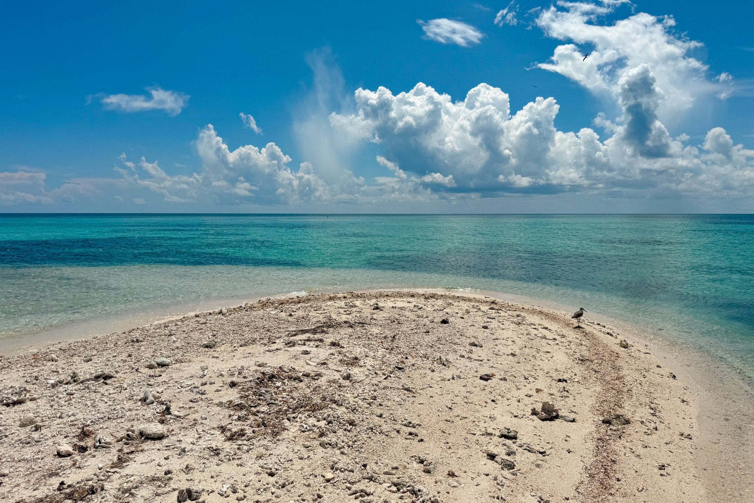
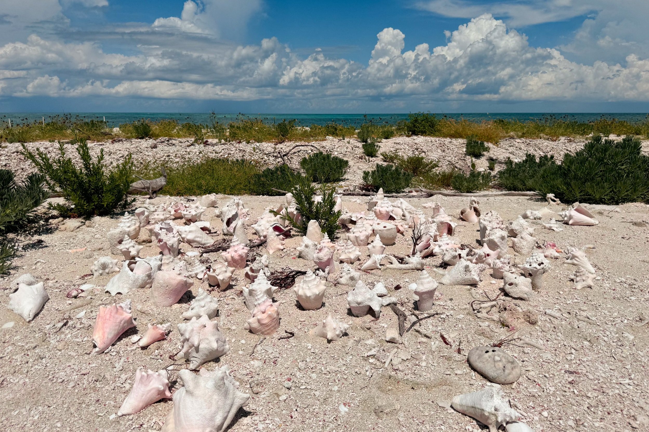

Beaches. Outside of the fort, there are two coral beaches to swim at with warm and shallow water. The South Beach was the calmest and clearest for swimming and snorkeling. There is some sea grass, fragments of broken coral throughout the bay. The North Beach was a little choppier with less visibility for snorkeling.
Snorkeling. Along the wall of the South Beach, we spotted smaller tropical fish, some living coral, sea anemones, pink jelly fish and the carcus of a giant spiny lobsters.
Land Bridge. Walk the tidal land bridge towards the avian reserve of Long Key. The shallow stretch of sand it covered in conch shells, sand dollars and broken coral. Come here to spot pelicans and sand pipers.
Loggerhead Lighthouse. A black and white lighthouse visible on the horizon from Fort Jefferson on Loggerhead Key, nearly two miles away.
Camping. There’s something special about camping on a desert island in the middle of the sea! I camped here overnight on my last trip to Key West and the Dry Tortugas between some of the islands only few trees and bushes.
Yankee Freedom. The main company ferrying between Key West and the Dry Tortugas. The ticket includes transit, a tour of the fort, snorkel equipment, breakfast and lunch, cocktails for purchase.
Getting Here. It takes 2 hours 30min to reach the Dry Tortugas from Key West with 4 hours on the island. Book in August and September for $50 off an order of 2 tickets. Book here!
Where to Stay
We stayed at the Speakeasy Inn & Rum Bar! The boutique inn on the south end of Duval Street has two floors of newly renovated rooms and is stumbling distance away from their rum bar. Our stay included free parking, a welcome cocktail and discounted drinks!
Getting Around
Key west is very walkable, especially along the mile long stretch of Duval Street. Even so, there are many rentals offering bikes, scooter and golf cart.
Bikes $10 / day
Scooters $35 / day
Golf carts $100 / day
The Conch Train. A multi car trolly that rides around the city passing most of the sights with a narrated guide.
Good to Know
Locals leave during the month of September to vacation elsewhere. As a result, some restaurants and bars are closed. However, as this is the slow season, many hotels offer deals making the island more affordable to visit.
For Next Time…
We loved our time visiting Key West! We hope to return for more rum cocktails, sunset views and the tropical atmosphere. Outside of Key West, we would love to spend a few nights exploring the other keys more.
Eastern Puerto Rico
Puerto Rico is known as La Isla del Encanto, which translates to The Island of Enchantment. The island is home to some of the most natural landscapes.
La Isla del Encanto
Puerto Rico is known as La Isla del Encanto, which translates to The Island of Enchantment. The island is home to some of the most natural landscapes and wildlife; including Caribbean beaches, bioluminescent bays, rainforests and waterfalls. Going East from San Juan, we’ve hiked to the peak of El Yunque, kayaked though mangrove forests in Las Croabas and snorkeled with sea turtles in Culebra.
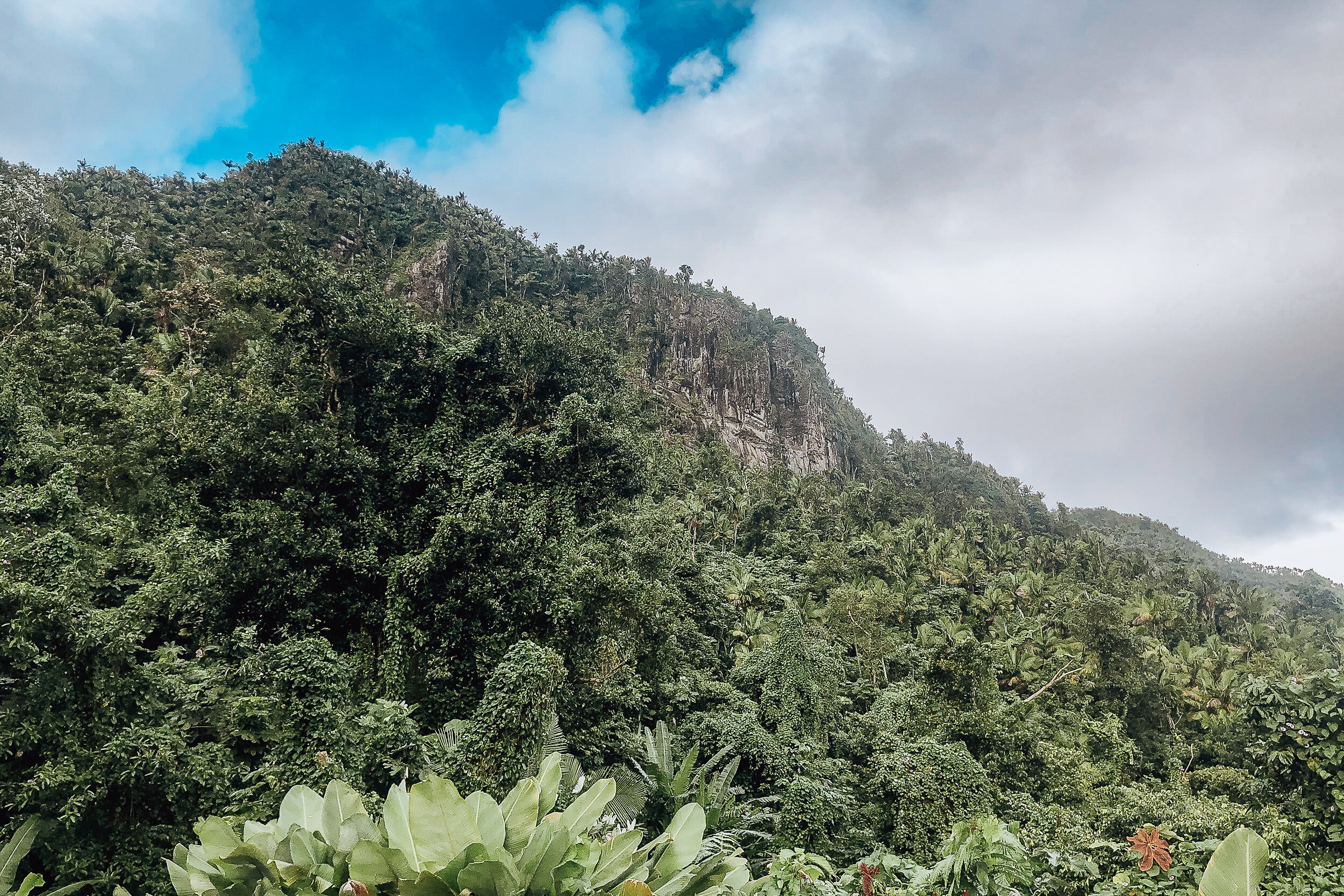
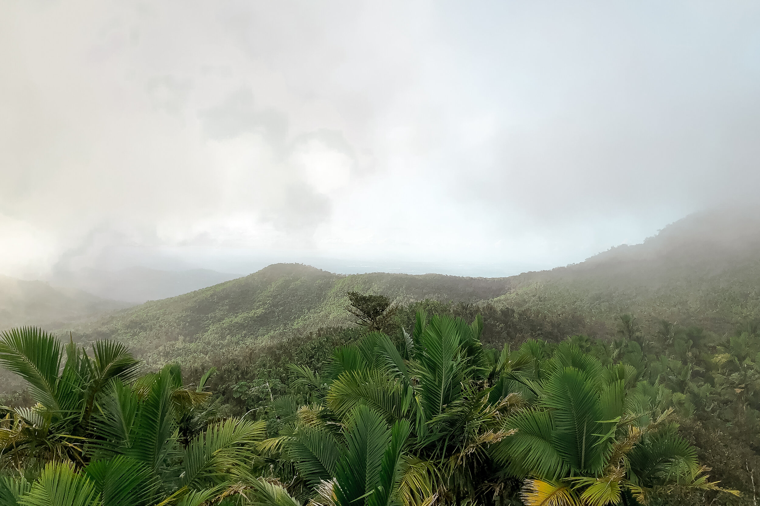
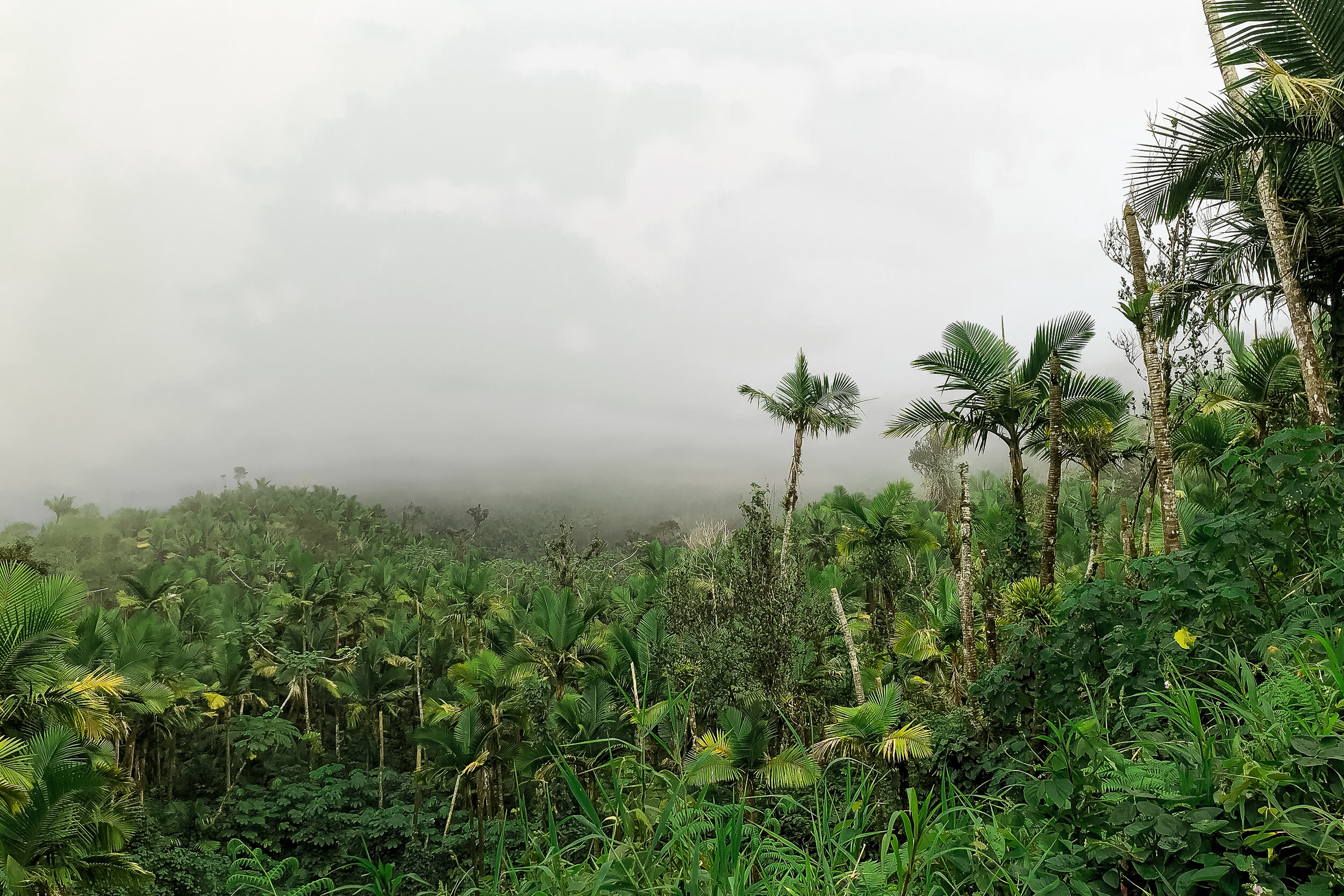
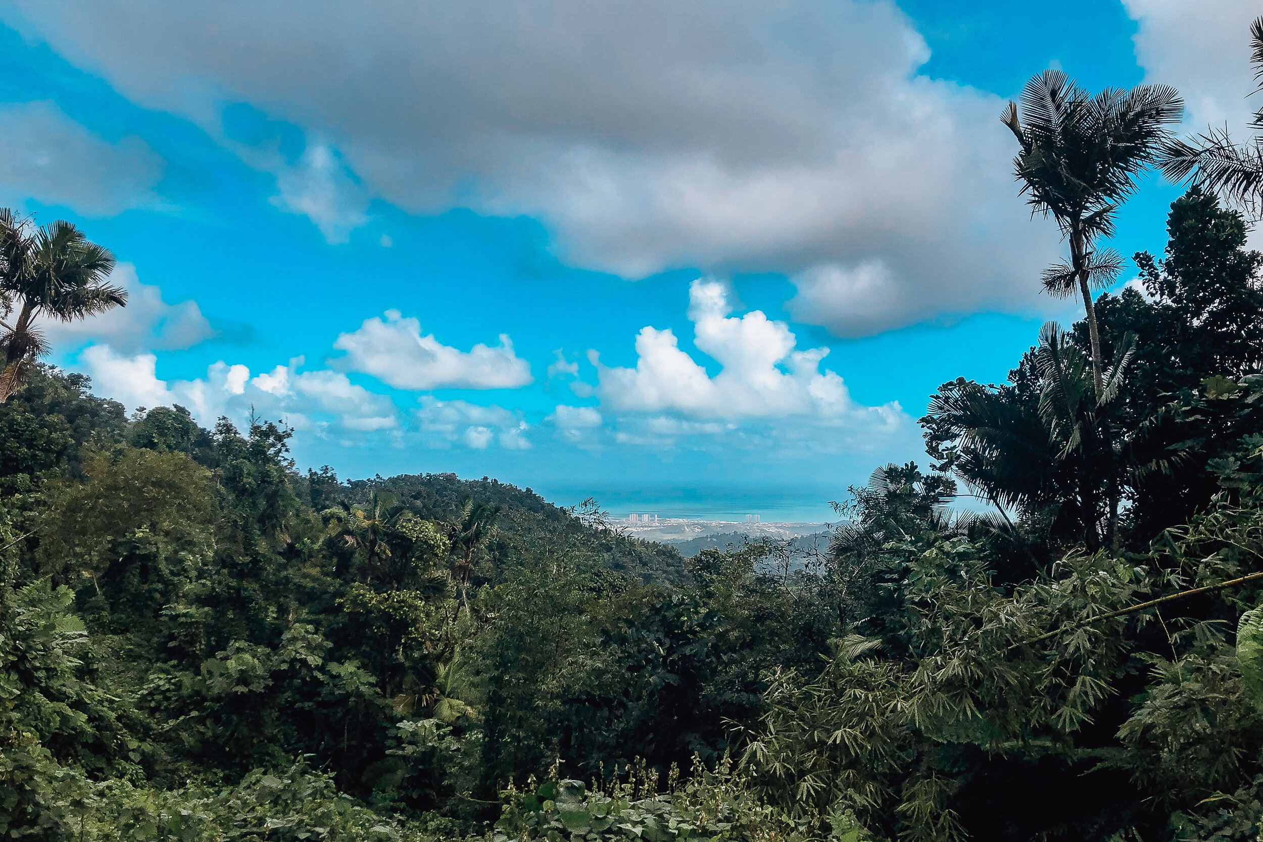
El Yunque National Forest
El Yunque is Puerto Rico’s only rainforest. The landscape is full of lush tropical vegetation, waterfalls with natural pools, hiking trails, lookout towers, tree snails and frogs. Here are a list of sights and trails in consecutive order past El Portal Visitor Center.


La Coca Waterfall. An 85ft roadside waterfall shortly after entering El Yunque.
Yokahú Tower. An observation tower less than 1km past La Coca Waterfall.
Juan Diego Falls. Down the road from Yokahú Tower is series of waterfalls with natural pools for swimming. The falls are reachable via a short trail from the road.
Sierra Palm Picnic Area. The only restaurant in El Yunque with great lunch options and refreshing drinks.
Mt Britton Trail. A thin paved and stone laid trail though the rainforest leading to Torre Mt Britton. It takes about 45 minutes from the trailhead to reach the peak.
Torre Mt Britton. An observation tower at El Yunque’s second highest peak with cool breezes, rolling clouds and sweeping views of the Caribbean and Atlantic coasts.
Mt Britton Spur Trail. Connects the Mt Britton Trail to El Yunque Trail just before the trail to Torre Mt Britton.
El Yunque Trail. The rainforest’s longest trail leading to El Yunque’s highest peak.
El Yunque Peak. Often within the clouds, the peak is surrounded by a forest of foliage with stunted growth due to the heavy rain, wind and erosion. There is also an abandoned medical building and series of antenna.
Degree 18 Juice. Come here for a healthy pick-me-up after hiking in El Yunque. Located in the town of Palmer at the base of the mountain, they offer smoothies, vegan burgers and hammocks to relax in.
Good to Knows:
Bring water and snacks.
Wear hiking shoes with good treads, the rocks are slippery.
The temperature gets colder the higher in altitude you hike.
Expect it to rain, bring a raincoat or umbrella and change of clothes.
Rent a car. There are no Ubers or Taxis allowed into the park. The drive is 1 hour from San Juan.
Arrive early, parking spots fill up quickly. Rangers will ticket you for parking in undesignated spots.
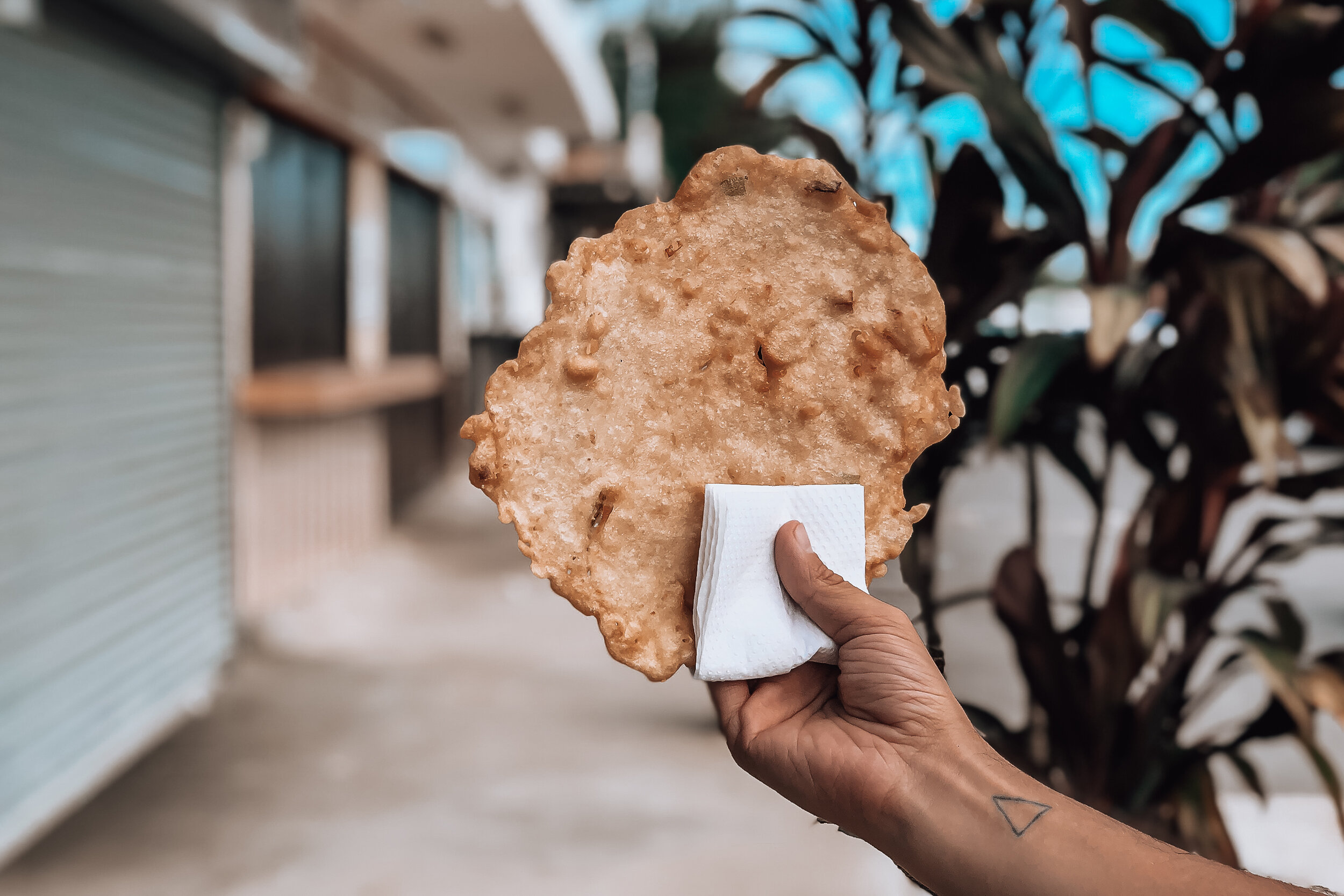
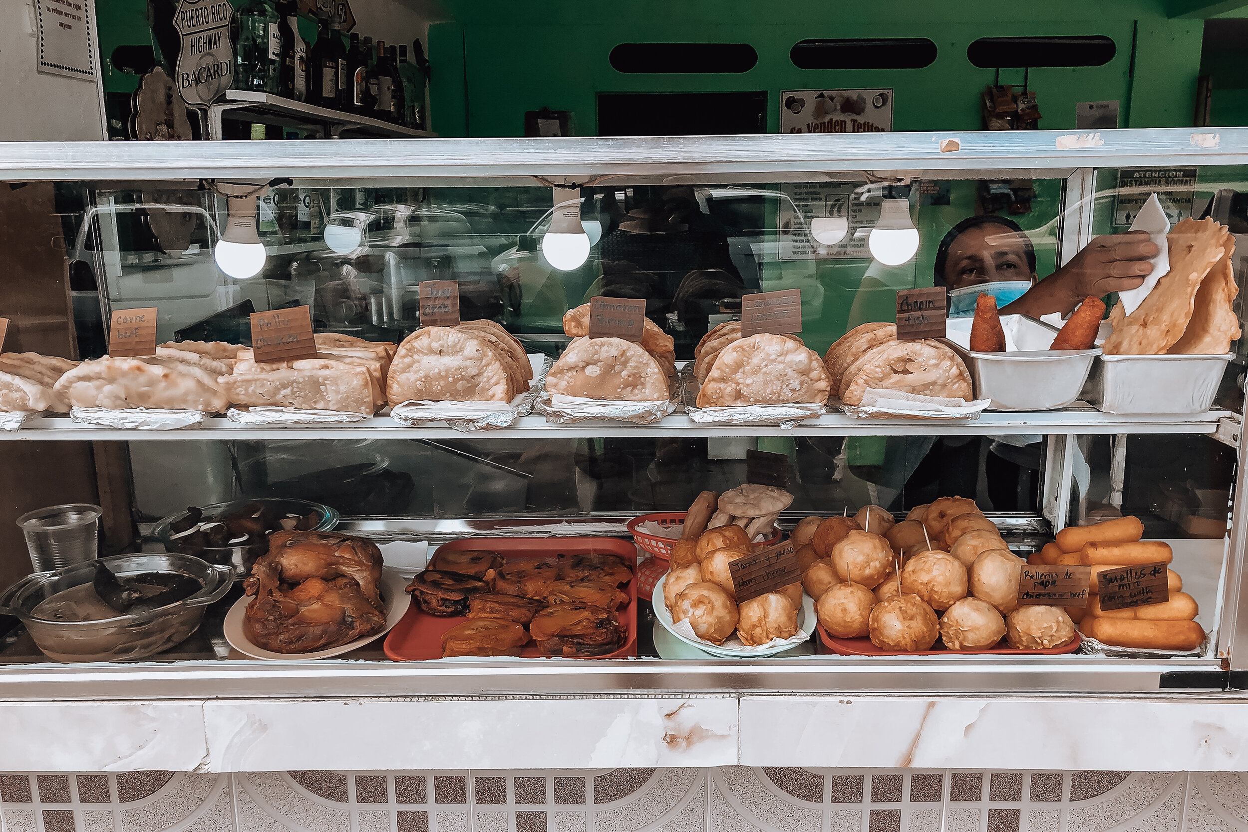
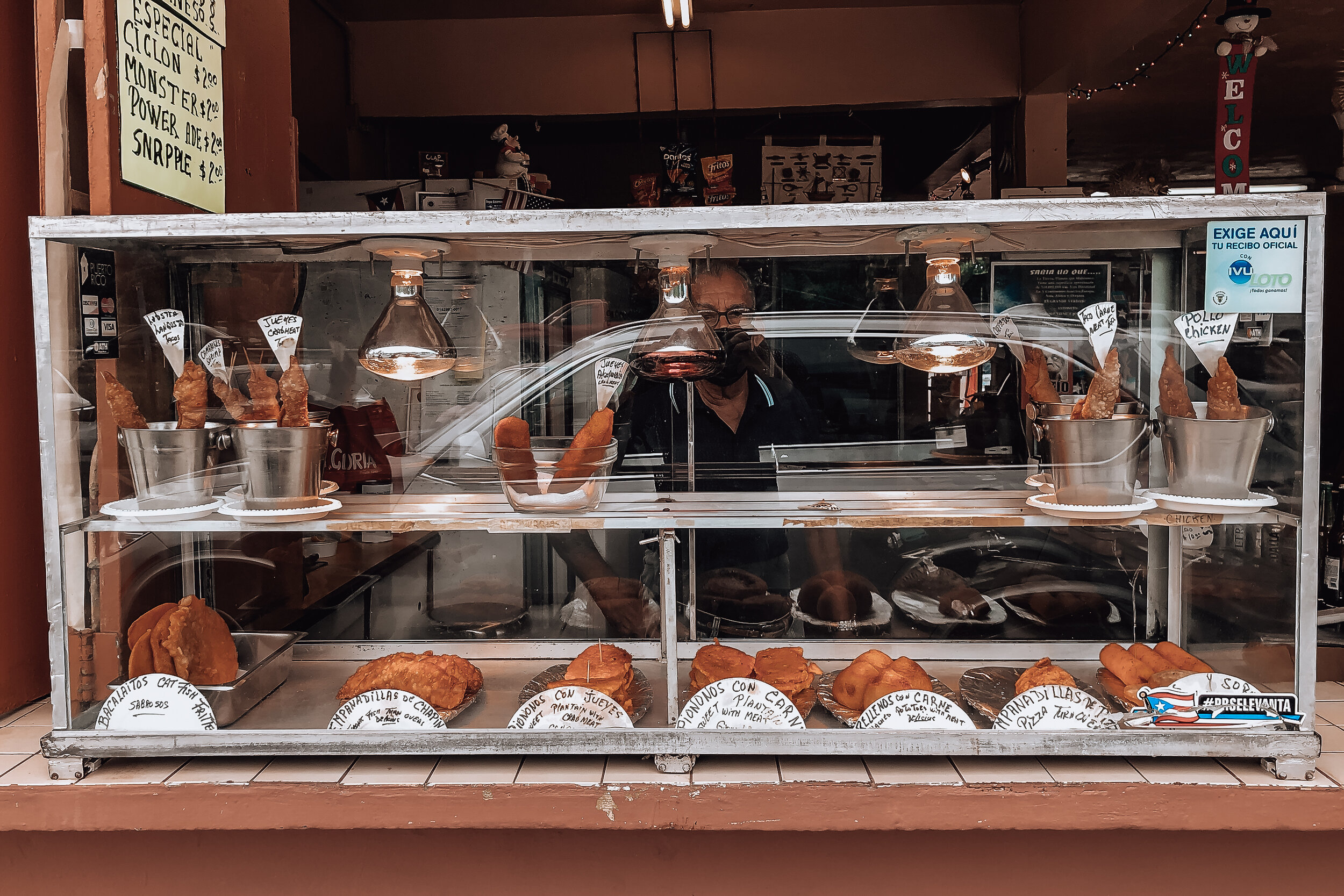
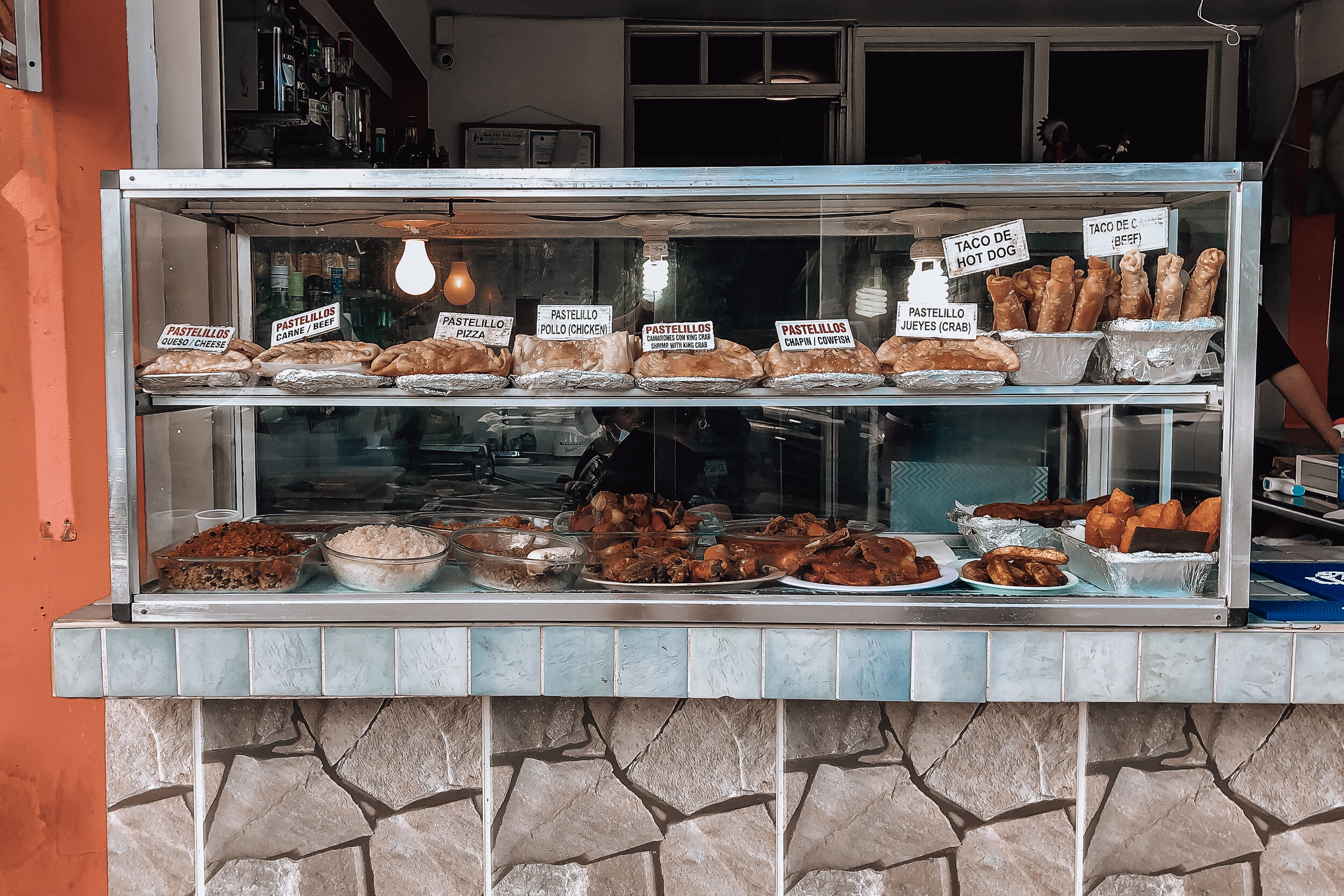

Luquillo
Nearby El Yunque is the town of Luquillo, known for the Luquillo Kiosks. Located along the highway, there are 60 street-side stalls and restaurants selling Puerto Rican street food and classic Caribbean dishes. These are some of our favorites to try:
Whole Red Snapper (Chillo). The whole fish is typically fried until crispy from head to tail. The meat is tender and easily pulls away from the bones while the fins and tails break off like “chips.”
Caribbean Lobster. Also known as a spiny lobster, it lacks the large claws of a Maine lobster but is filled with much more meat.
Mofongo. Fried green plantains that are mashed in a wooden mortar and pestle with oil, garlic and salt. Many restaurants make Stuffed Mofongo with seafood, vegetables or meat.
Carrucho. The meat of the queen conch. It’s often served raw as ceviche or salad either alone or with an arepa.
Salmorejo. A mixture of tomato and land crab meat strewed together.
Empanadillas. Similar to empanadas but slightly flakier with rolled edges.
Alcapurrias. A fritter made from green plantain and cassava molded with a leaf and fried. They’re typically filled with annatto oil and a meat.
Bacalaítos. Large flat round cod and batter fried fritters.
Kiosks to Visit
Kiosko #7 de Sonia & Peyin + Kiosco Mi Favorito #49 & #52 + El Castillo del Mar Kiosco #54. Visit any of these kiosks for Puerto Rican street food like empanadillas, alcapurrias, bacalaítos and seafood salad in an arepa.
La Parrilla Bar & Grill (Kiosko 2). For locally caught seafood & Caribbean lobsters.
Terruño Comida Artesanal (Kiosko #20). For classic dishes like mofongo, carrucho, coconut rice and plantains.
Relle Na’o (Kiosko 40). For vegan options and build your own mofongo.
Mojito Lab (Kiosko 42). For extra large mojitos & cocktails.
Beaches
After the Kiosks, head to one of the beaches. Luquillo Beach (Playa Balneario) is a swimmable palm lined beach behind the kiosks with more food stalls selling empanadas and Pina Coladas served in hallowed out pineapples. Parking costs $5. Playa Azul, is the other main beach in Luquillo for swimming, snorkeling, paddle boarding, kite surfing, and kayaking.
Las Croabas
Las Croabas is the furthest northeastern part of Puerto Rico. It’s a popular place for marine activities, exploring nature, relaxing on the beaches and kayaking to the bioluminescent bay.
Laguna Grande (Bioluminescent Bay)
Kayaking through the mangrove forests at night to reach the bioluminescent bay is one of our favorite things to do in Puerto Rico! In the lagoon, you can run your hands through the water, let it run down your arms and splash around. Movement causes the dinoflagellates (bioluminescent plankton) in the water to glow a bright blue color.
Book a Tour. You need to book a tour to visit Laguna Grande. There are a dozen companies offering nightly tours from Parque Las Croabas. Most offer two tour times, one at twilight and one hours after sunset. The biggest difference between the twilight tour and nighttime tour is how much of the mangrove forest you can see while kayaking to the lagoon. Tours cost around $50/person and last 1h 30min. We’ve booked through Island Kayaking Adventure and Kayaking Puerto Rico.
Good to Know:
Visit on a sunny day, the dinoflagellates are more active at night.
Avoid going when the moon is full, the dinoflagellates are difficult to see. If you do, tour guides will bring tarps to cover the kayaks to block out the light.
Don’t bring your phone for pictures, they can’t capture the bioluminescence.
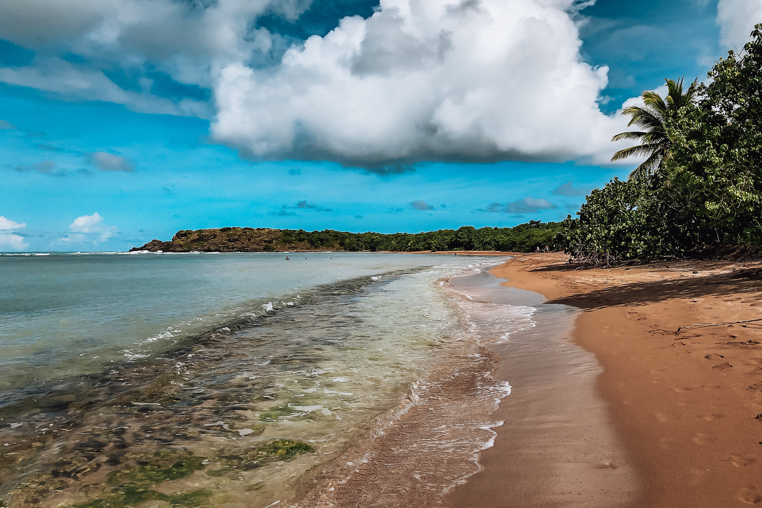
Visit the Beaches
Seven Seas Beach. This is the main beach in Las Croabas. It’s great for swimming, snorkeling and renting kayaks or stand up paddles. The beach has a sandy shore with a rocky ledge several feet into the water. The beach is divided by a mobile home park. The east side is narrow but long and great for walking. The west side is larger with pavilions available for rent and a nature trail leading to Playa Escondida and Playa Colora.
Playa La Matita. A semi secluded beach east of Seven Seas Beach. It’s a great destination to kayak to, look for conch shells or hike to La Zanja from.
Playa Escondida. This long golden sand beach has calm and shallow waters perfect for lounging in. The shore is lined with sea grape trees offering shaded nooks to relax under. The beach is popular with all groups of people, especially the LGBTQ+ community. It’s one of those beautiful and welcoming places you’ll want to stay at all day!
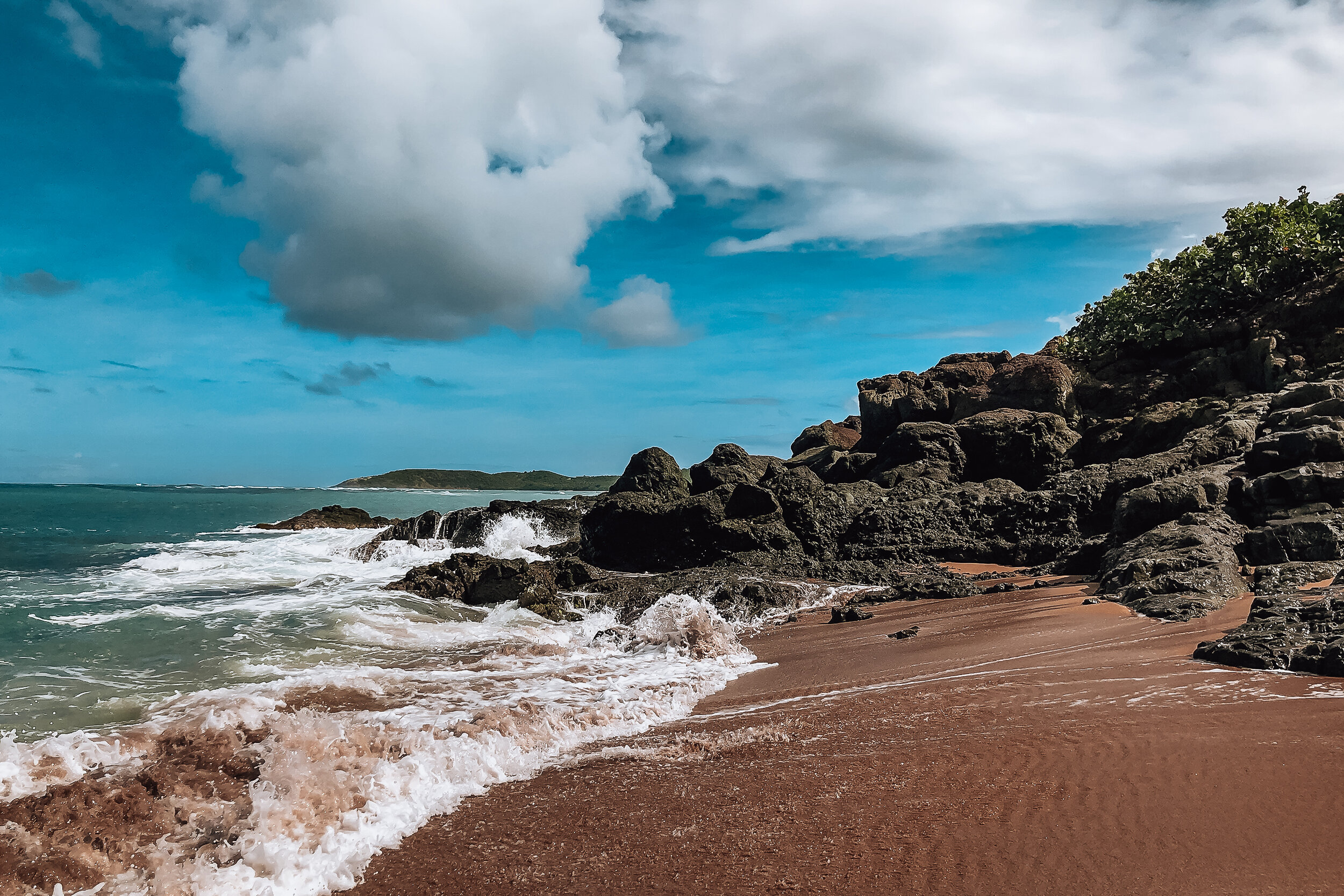

Playa Colora. A semi secluded beach great for sunbathing and enjoying nature. The waves are large and the undertow is strong making it un-safe for swimming. Though not an official nude beach, people come here to sunbathe naked near the rock formations to the right.
Getting to Escondida & Colora. Both beaches are accessible through a nature trail at the west end of Seven Seas Beach. It’s an easy walk that takes about 30 minutes. The trail forks after about 5 minutes, take a right and continue walking. This trails leads directly to Playa Escondida. Halfway through the trail is a short path that leads to Playa Colora.
Pro-tip: Please take your trash with you and don’t pile it up at the trail heads.
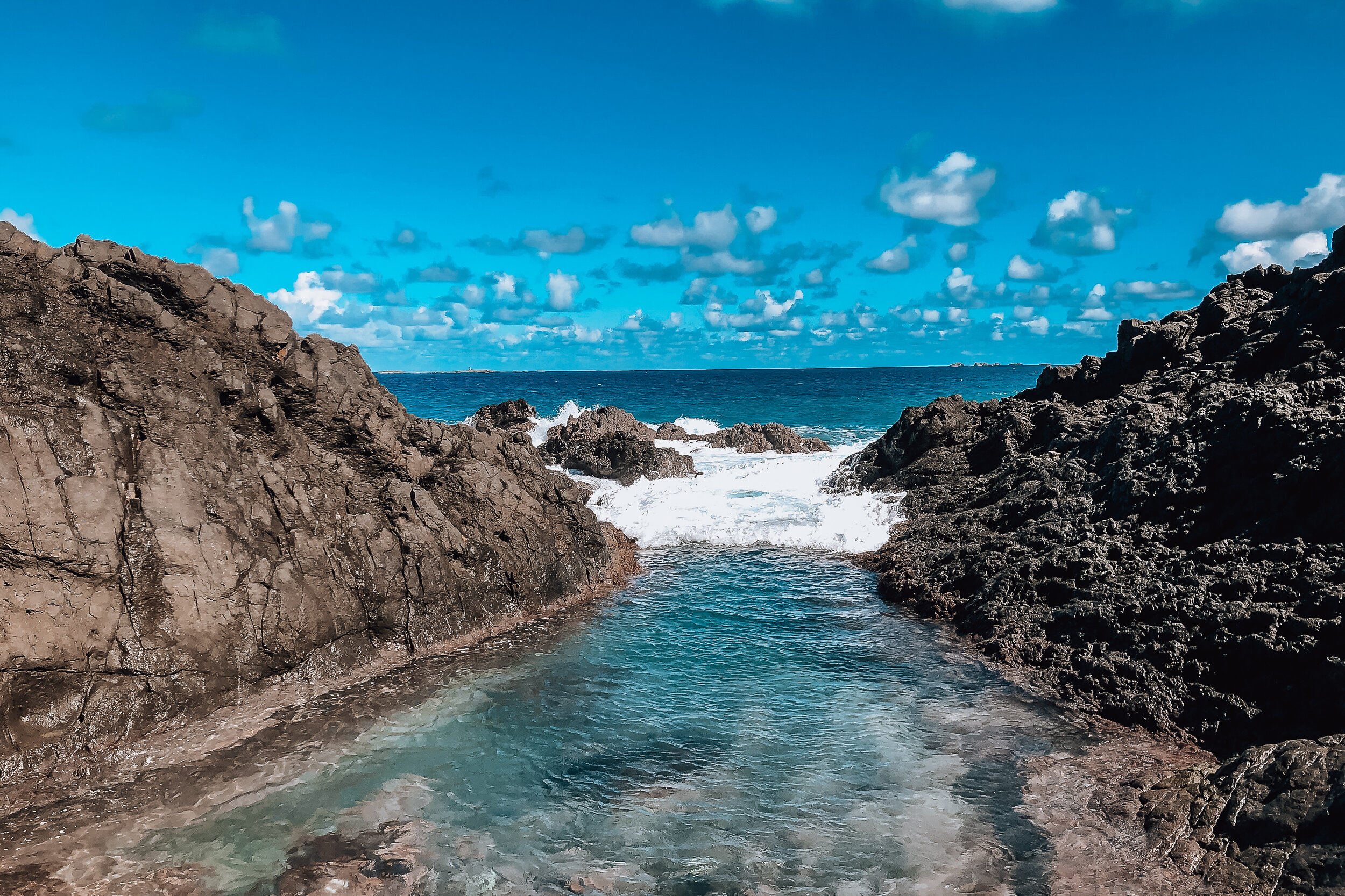
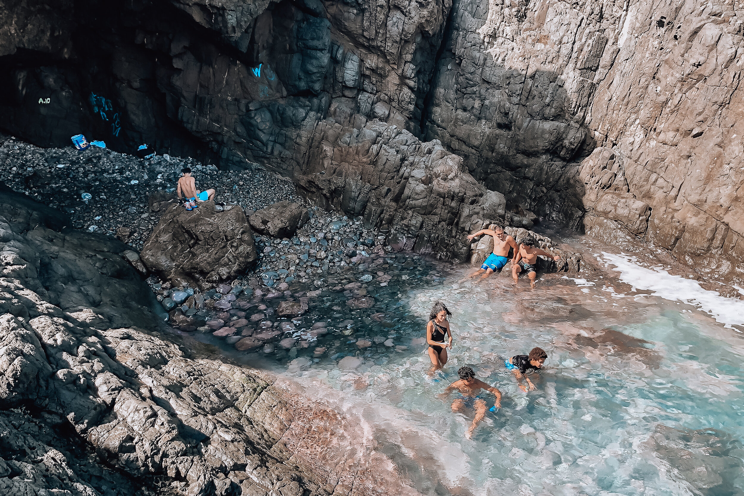
La Zanja
La Zanja is a natural tench-like wave pool nestled along a cliffside and protected from ferocious Atlantic waves by large jagged rock formations. The pool itself is a secluded and unreal place to swim and listen to the ocean.
Getting to La Zanja. Walk down Seven Seas Beach, past Playa La Matita until it looks like you can go no further. From here there will be a trail leading into the tree-line. The trail forks at multiple points but all lead to a road. Take the road ending at a stoney beach. At the stoney beach, walk to the left until you see a trail leading up the hill and along the cliffside. This trail will lead you to La Zanja. From start to finish, it takes about 1 hour to reach.
Safety
Bring water shoes & wear shoes with good soles while hiking on the rocks.
Be very careful on the rocks and of waves
Be mindful of the current within La Zanja.
Restaurants
El Pescador. Located in Parque Las Croabas, this is one of our favorite places to dine at for seafood and Puerto Rican dishes. Come here for a pan fried red snapper, the stuffed mofongo, creole crab salad, jumbo shrimp and anything with conch.
Las Vistas Cafe. A hidden gem and easily the best brunch spot in the area. The restaurant is located on the roof of a house with surrounding views of Las Croabas. Everything is handmade and takes a little longer but is well worth the wait. Try the fresh fruit salad and juices, strong coffee and brunch dishes like the French toast with bananas and coconut or eggs Florentine on a arepa.
La Estacion. A former gas station turned into an open air jungle themed restaurant offering grilled and smoked meats and seafood specials.
Getting Around Las Croabas
Getting around Las Croabas can be difficult without a car. There are no Ubers and are very few taxis. If you need one, call this number to be transferred to a driver: 939-644-2817
Culebra
Culebra is a tiny island half way between Las Croabas and the US Virgin Islands. Things move a little slower here making it a great place to relax and appreciate life. The island has a small town with great restaurants, is home to multiple nature reserves and a variety of beaches.
Getting to Culebra
By Ferry. Take the Por Ferry in Ceiba, about 1 hour from San Juan. The best way to get here is by Uber or Taxi. Either cost between $60 and $100. The ferry operates on a strict schedule. You need to buy tickets at least 1 week in advance, especially if traveling on a weekend. Round trip tickets cost approximately $12. The ferry ride lasts about 45min. The ferry also operates between Ceiba and Vieques
By Air. This is the quickest way to visit Culebra. Book flights on a puddle jumper through Cape Air or Seaborne Airlines. Flights take less than 30min and can cost between $200 and $300 round trip. Due to cost, we’ve opted for the ferry but plan to splurge on flights one time for the experience of it. Both of these airlines also operate on islands across the Caribbean.
Getting Around Culebra
By Golf Cart or Jeep. Renting a vehicle is expensive but is worth the price if you’re only visiting for a couple of days. There are two rental companies on the island, Jerry’s Jeep Rental and Carlos Jeep Rental. If you plan to rent a vehicle, call ahead and book it at least 1 week in advance. Golf carts cost $80/day. Jeeps cost $120/day.
By Bike. There are no official bike rentals on the island however after asking around, we were given the numbers of locals that have bikes to rent. Call Mitzy at Culebra Concierge 787-742-3000.
On Foot. Though Culebra is a small island, getting around on foot outside of the town is difficult but not impossible. Many people are friendly enough to stop and give you a ride. Carry a flashlight when walking at night.
Things to Do
Swing from the Bridge. Swing from the rope tied to the bridge into the canal. Use the metal rod stored alongside the bridge to to retrieve the rope. Wear water shoes to protect your feet from the mussels.
Watch a Caribbean Sunset. Many of the western beaches like Tamarindo, Punta Soldado or Carlos Rosario are peaceful places to watch the sunset below the Caribbean. Equally, Sunset Grill on the hill is another spot. Make a reservation and come early.
Go Snorkeling. Our favorite time to go is around 10am or an hour before sunset. The sealife seems to be more active during these hours. The best beaches to spot sea turtles, eagle rays, conch and coral are Tamarindo, Carlos Rosario and Playa De Cascajo. Rent snorkel gear from Blue Water or Culebra Divers. Both are located next to the ferry terminal. Use reef safe sunscreen like Sunbum when snorkeling.
Visit the Beaches
Culebra has many great beaches all worth visiting for different reasons. There are white sand beaches, rocky beaches, remote beaches, unofficial nude beaches, beaches to snorkel at and beaches to look for conch shells.
Flamenco Beach. This beach has powdery white sand and blue turquoise waters perfect for swimming. It’s famous for its graffitied tanks. There are plenty of amenities: parking, umbrella/chair rentals, a campground and small kiosks with food & drinks.
Parking Fee $10
Umbrella/Chair Rental $5 each
Campground Fee $20/day
Zoni Beach. This beach is just as beautiful as Flamenco, easy to get to get to and not usually that busy. Outside of free parking, there are no amenities.
Playa Melones & Sardinas. Located about 20min on foot from downtown and easy to reach. These stone covered beaches are calm places to swim and snorkel. There is not much living coral near shore however we saw divers a couple hundred feet out.
Playa Tamarindo. A long stone covered beach amazing for snorkeling! There is a mix of living and dead coral and fields of sea grass. We’ve spotted sea turtles and eagle rays here multiple times!
Playa Carlos Rosario. A semi-remote beach equally great for snorkeling and sunsets. A trail from the parking lot at Flamenco leads here. We were warned to stay on the trail due to landmines left behind from military activity during the 1950s.
Playa Punta Soldado. A rocky beach great for finding conch shells. You’ll find a lot of fragments and occasionally a whole shell. Supposedly a good spot to snorkel though we’ve never tried here.
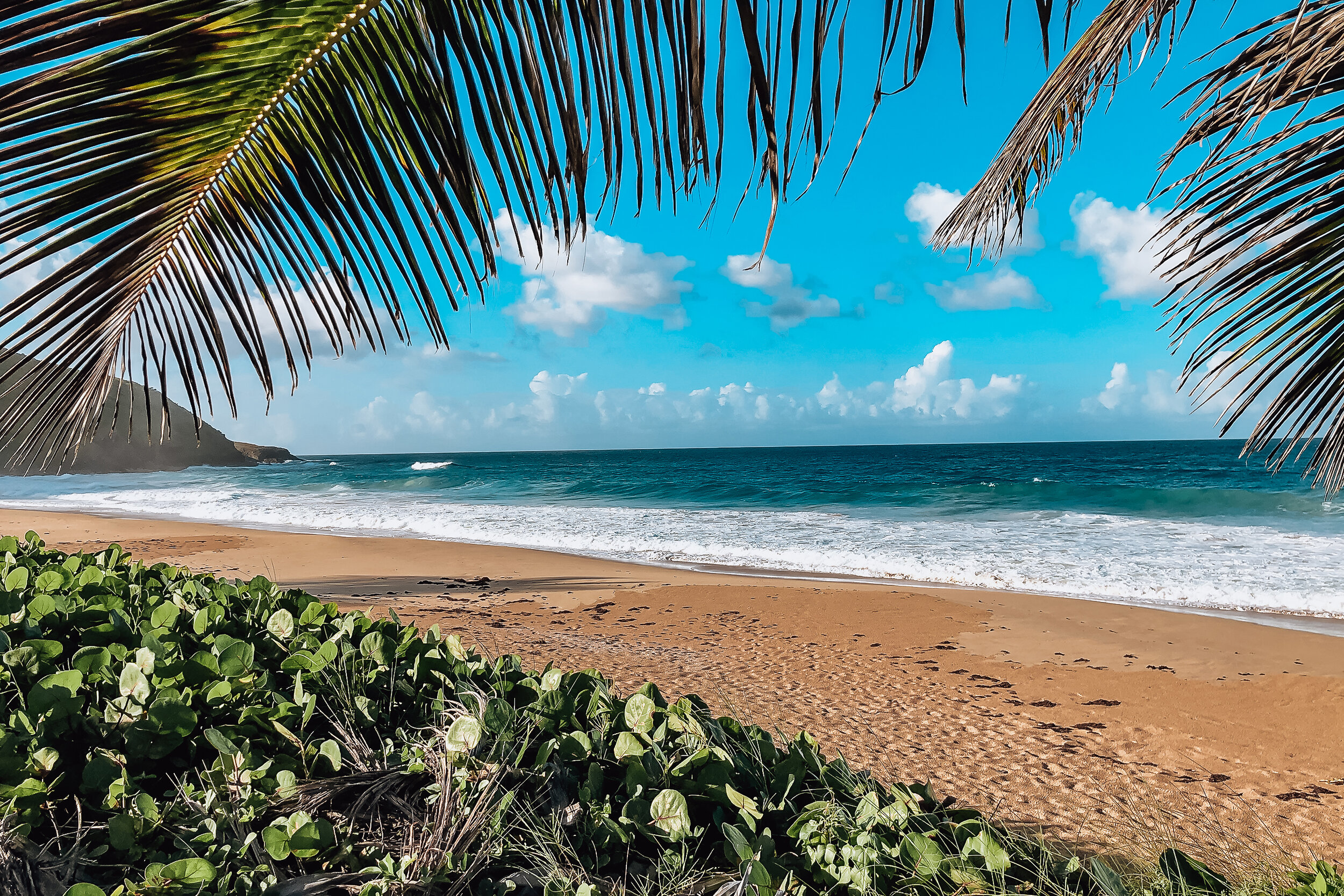
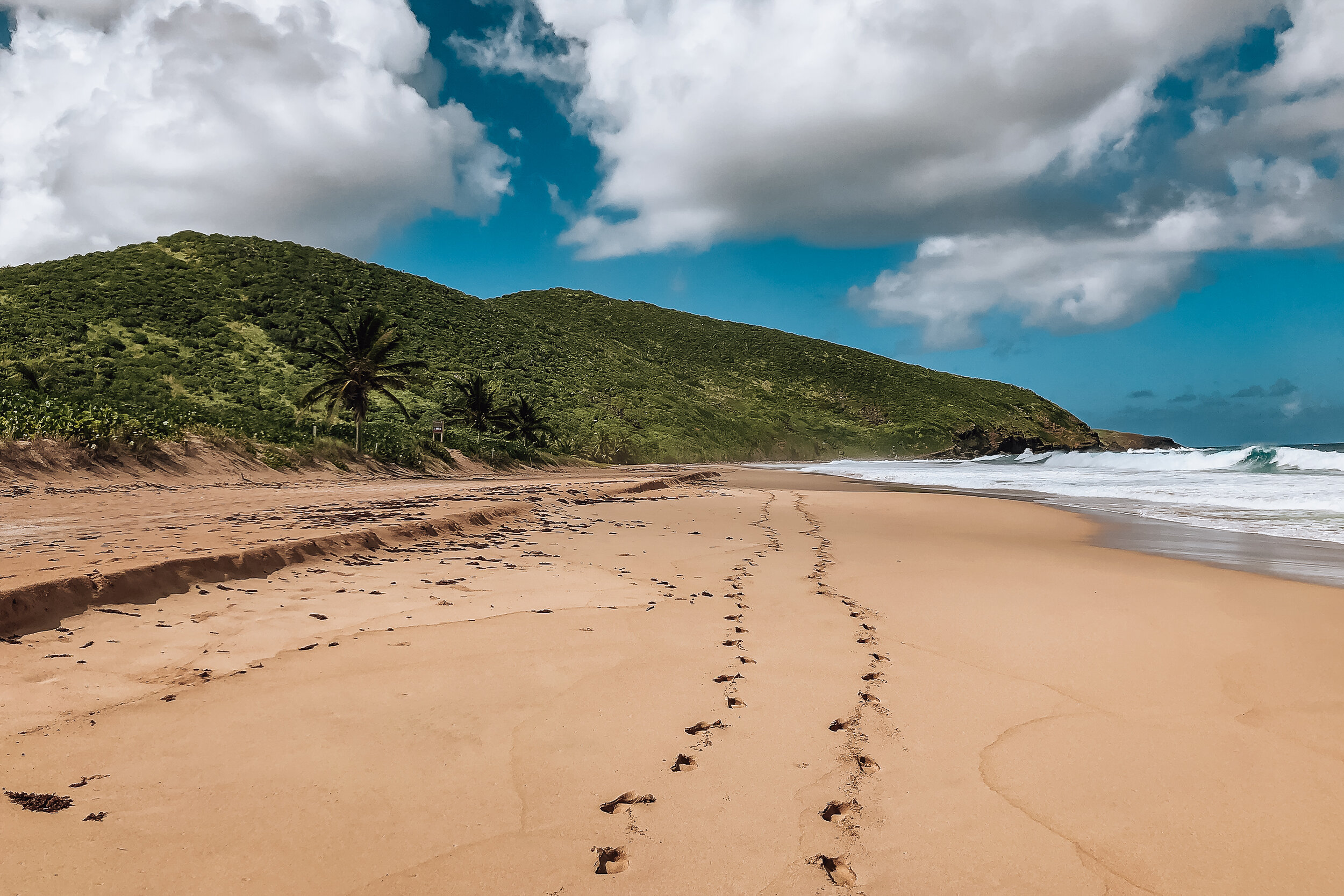
Playa Resaca. This beach is as much about the journey as it is the destination. After a rigorous hike, you’ll reach a vast beach that you’ll likely have to yourself the entire day. The only swimmable area is the shallows at the far east end of the beach. Because it’s so remote, it’s the perfect place to get naked ;)
Getting Here:
Follow a paved road up the hill past the airport. There will be a parking lot at the top. Walk through the waist high grass behind the sign to locate the trail.
The further you descend, the more rigorous the trail gets. You’ll have to walk over boulders and duck under tree branches. We recommend wearing pants, hiking shoes and bringing a stick to knock away spider webs and thorny plants.
The trail ends at a mangrove forest just before the beach. There will be pink and orange ribbons, nautical debris and water bottles strung along the trees guiding you through it. Follow these markers, even if you think you’re on the path, or you will get lost!
The final stretch leads through a thicket of beach grape trees ending at a lone palm tree overlooking the beach. From the parking lot, it should take you 45min to reach Playa Resaca. Plan to leave the beach at least 1 hour before sunset.
Restaurants
Black Flamingo Coffee. Our favorite breakfast spot on the island. Come here for their coffee, homemade sourdough toast and breakfast tacos.
Culebra Coffee. A coffee shop selling mango and acai bowls, egg dishes and baked goods.
Dinghy Dock. A lively place to eat directly on the water. It’s open late, serves classic Puerto Rican dishes and has great cocktails. Ask to feed the tarpon!
Mamacitas. A restaurant, bar and hotel along the canal. We’ve dined, drank and stayed here! It has a very social atmosphere.
Restaurant Carscoles. Easily the best seafood restaurant in town serving Caribbean lobster, whole fried fish, carrucho and more. Have the tres leches for dessert.
El Eden. A homestyle restaurant with a nautical interior and wine bar.
Hotel Kokomo. The perfect go-to for an inexpensive meal or quick lunch, especially while waiting for the ferry. We’ve ordered fish sandwiches and empanadas.
Pancafe Bakery. A nice spot to go for sweets, baked goods and morning coffee.
Lococina. Come for the drinks, harbor views and chill vibes.
Good to Know:
Most places accept credit cards however it’s good to have cash. There’s an ATM in town near the ferry terminal.
Make reservations at places you want to eat. Service ends early and places can book up.
Be patient, people and businesses move slower here.
Grocery Stores
There are two grocery stores on the island. Colmado Carniceria Milka, located in town and Colmado Costa del Sol, located next to the airport. Both offer all the basics and necessities of any grocery store. They’re also good spots to buy snacks and drinks for the beach.
For Next Time…
Rainforest Zipline Park. Located in El Yunque, this park offers zipline tours through the rainforest’s lush canopy.
Las Paylas Waterfall. Nearby El Yunque and on private property is a natural river rock slide. An older gentleman who owns the property charges $5 admission. There are no official hours so you have to chance it if visiting. We tried but were turned away.
Visit The Icacos Islands. The Icacos are a key of many small islands with diverse sea-life, species of birds, coral reefs, beaches and marine activities. We booked a tour previously but it was canceled due to high winds.
Fly to Culebra & Camp at Flamenco Beach. We want to experience flying into Culebra. To offset the cost, we’re planning to camp at Flamenco Beach.
Visit Isla Culebrita. An island and nature reserve across from Zoni Beach. It has 6 beaches, tide pools, coral reefs, sea turtles and the ruins of an old light house.
Vieques. Spend a week exploring Puerto Rico’s other major island to see the bio-bays and black sand beach.
Coastal Bali
Bali’s coast is famed for its relaxing seaside neighborhoods, black sand beaches, water temples and marine activities.
Welcome to Bali
Bali is an Indonesian Island known for its rich culture and surreal nature with near endless things to do, see and try. During our two week trip, we ventured to various areas around the island: exploring the relaxed seaside neighborhood of Canggu, the tropical palm covered Gili Islands and the cliffside Bukit Peninsula. Read our guide on Ubud for more to do in Bali.
Canggu
Canggu is a trendy and relaxing place to soak up tropical vibes, overcome jet lag, meet other travelers and get a better idea of what to do and see around Bali. It is a great entry point to spend your first couple of days on the Island. The neighborhood has a chill vibe with many surfers and digital nomads vacationing. There are cute shops, vegan cafes, black sand beaches and lush rice fields. Spend a good amount of time on the beach, day or night but also explore the streets extending deeper into Canggu. There are a ton of great restaurants, cafes and bars to stumble upon.
Getting Around
The fastest way to get around is by scooter but Canggu can easily be explored on foot.
Scooters range from 50-70K Rp per day (less than $5 USD) or 600K Rp per month ($43 USD)
For safety and to avoid a fine, always wear a helmet while riding a scooter
Carry a flashlight at night when walking along the roads. There are not many streetlights making it difficult to see and be seen.
Roads are often narrow and congested during rush hour.
Perpendicular from the shore are 3 main streets extending deep into Canggu. Also wander the side streets and pathways.
Beaches
Batu Bolong & Canggu Beaches. Easily the most popular and beautiful beaches in Canggu. There are plenty of restaurants, bars and beach clubs to find a lounge for the afternoon, watch the sunset, meet other travelers and enjoy the tropical vibes. Both beaches are known for their beginner and intermediate surf spots with many any beachfront businesses renting surf boards and offering lessons.
Echo Beach. Black sand beach with a seaside temple and a small cliff lined with cafes, barbecue restaurants and surf rentals.
Berawa Beach. A smaller and quieter beach away from the larger clubs with beach shacks, fisherman boats, rentable lounges and surf lessons.
Good to Know
Canggu, like many places in Bali have black sand due to the volcanic soil of the island.
The beaches are easily walkable with numerous surf snacks, beach clubs, restaurants and cafes to rent lounges, watch the sunset and enjoy a meal.
There are friendly stray dogs roaming around the island, you’ll often encounter several playing and looking for food along the beaches.
Beach Clubs
Beach clubs are a very popular way to enjoy the Balinese beaches. They can range from small oceanfront shacks offering lounges and drinks to large open air buildings with infinity pools, live music and several bars. They make for a great place to relax during the afternoon heat, enjoy the sunset or party at night.
La Brisa. A beachside, mostly outdoor and open air restaurant that felt like walking through a tropical treehouse. The food and drinks here are delicious and the vibe was relaxing even during the busier hour of service. Like many places in Canggu, the sunset here was spectacular.
The Lawn. A casual beachside restaurant known for its faux lawn, infinity pool, cocktails and food.
Finn’s Beachclub. A large, high-end and popular beach club recognized by it’s giant bamboo and thatched building. Finn’s is home to several pools, restaurants and bars often playing live music. You pay 750K+ Rp ($53USD) to enter which reserves your lounge or table and can be redeemed for food and drinks.


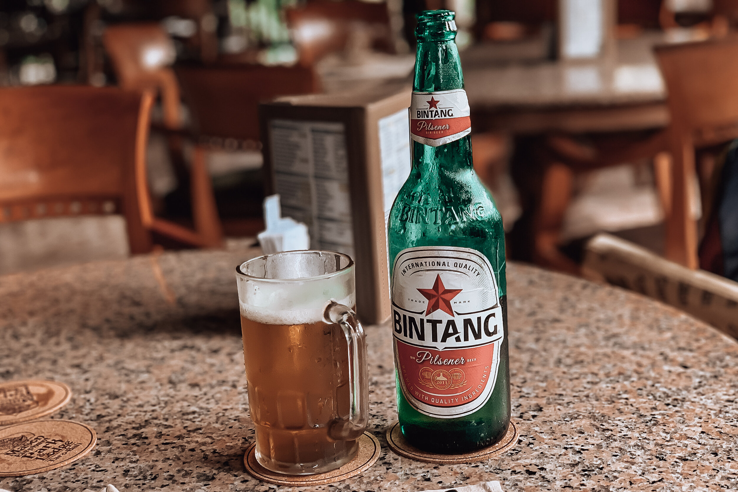
Food, Restaurants & Cafes
Canggu is known for its food scene. There are endless options to try traditional Balinese food, locally grown fruits, vegan meals and Australian inspired “brekkie.”
Warungs are restaurants serving a buffet of dishes and plates of fresh made, inexpensive and traditional Balinese cuisine.
Bali Bowls or smoothie bowls are mixtures of puréed frozen fruits often decorated in fresh fruit, grains and flowers. They’re a healthy, filling and refreshing way to start the day. Almost every cafe offers their own versions.
Bintang is Bali’s regional beer. It’s very light and sold almost everywhere for 15K Rp or $1.
Shady Shack. Located across from a rice field in an outdoor patio covered in tropical trees and plants. The menu is full of all kinds of colorful and creative vegan dishes. This is the perfect spot to come for Bali bowls and to drink kombucha through a papaya stem straw.
Gypsy Kitchen. A great restaurant at any time of day but especially during breakfast for their delicious egg dishes and flavorful coffee.
Mocca. An open air cafe with Bali bowls, fresh coconuts, and vegan dishes made with jackfruit and tempe.
Temples & Offerings
The Balinese are very spiritual people, mostly practicing Hinduism. Their temples are easily recognized across the island and important places for families to gather.
The Balinese leave daily offerings in front of their homes and business. These offerings are usually small, leaf woven baskets containing flowers, burning incense, cookies, candies and money. Out of respect, make sure not to step on them.
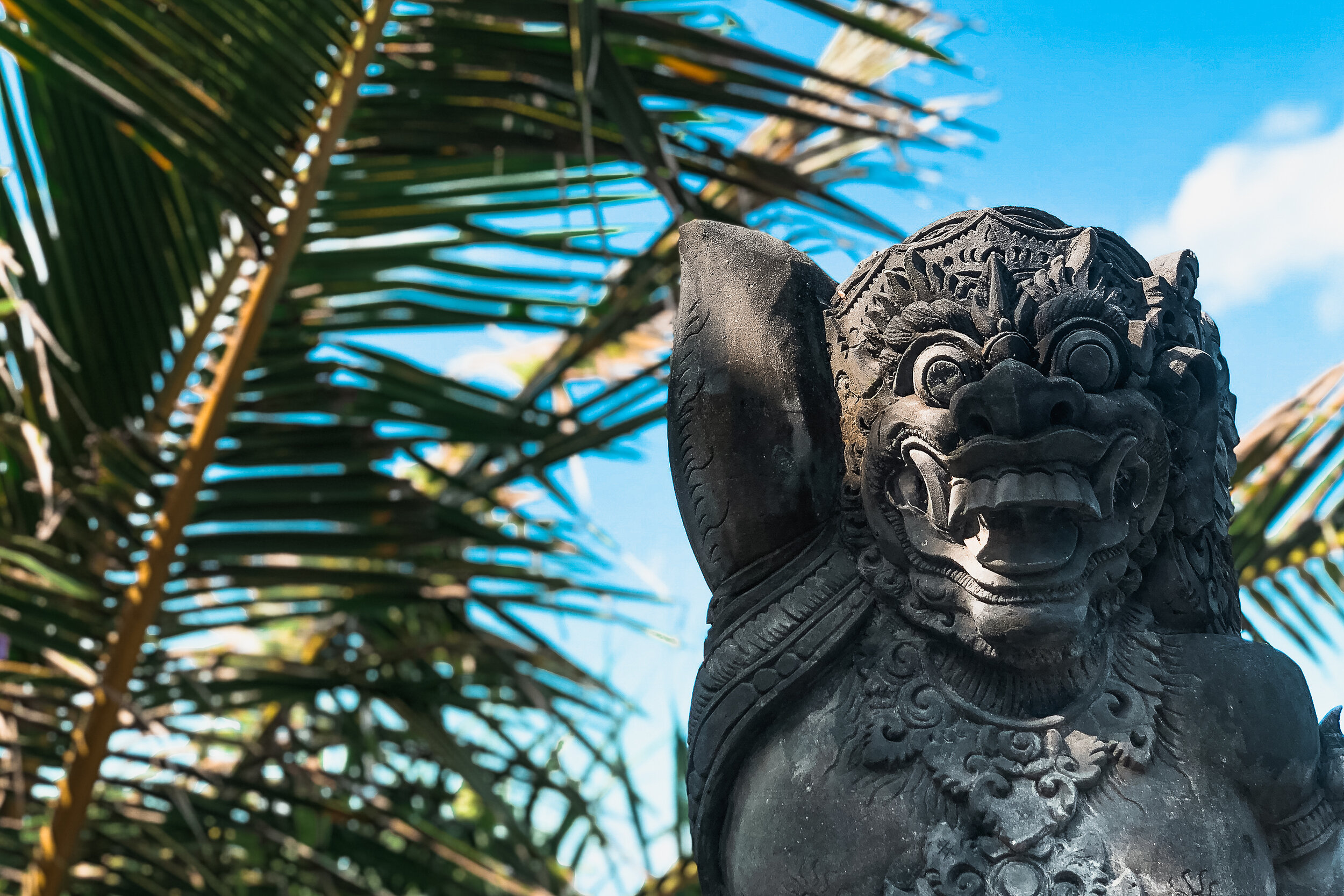
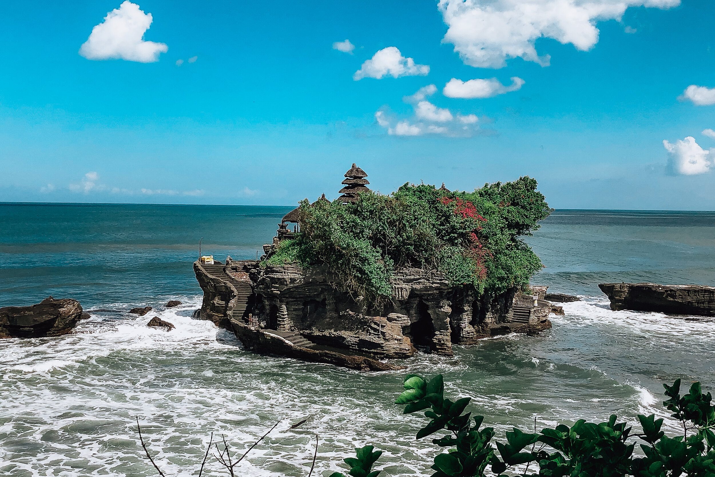
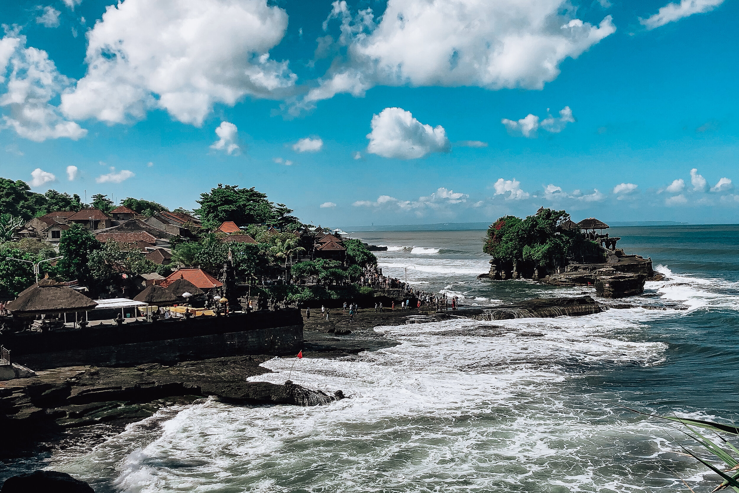
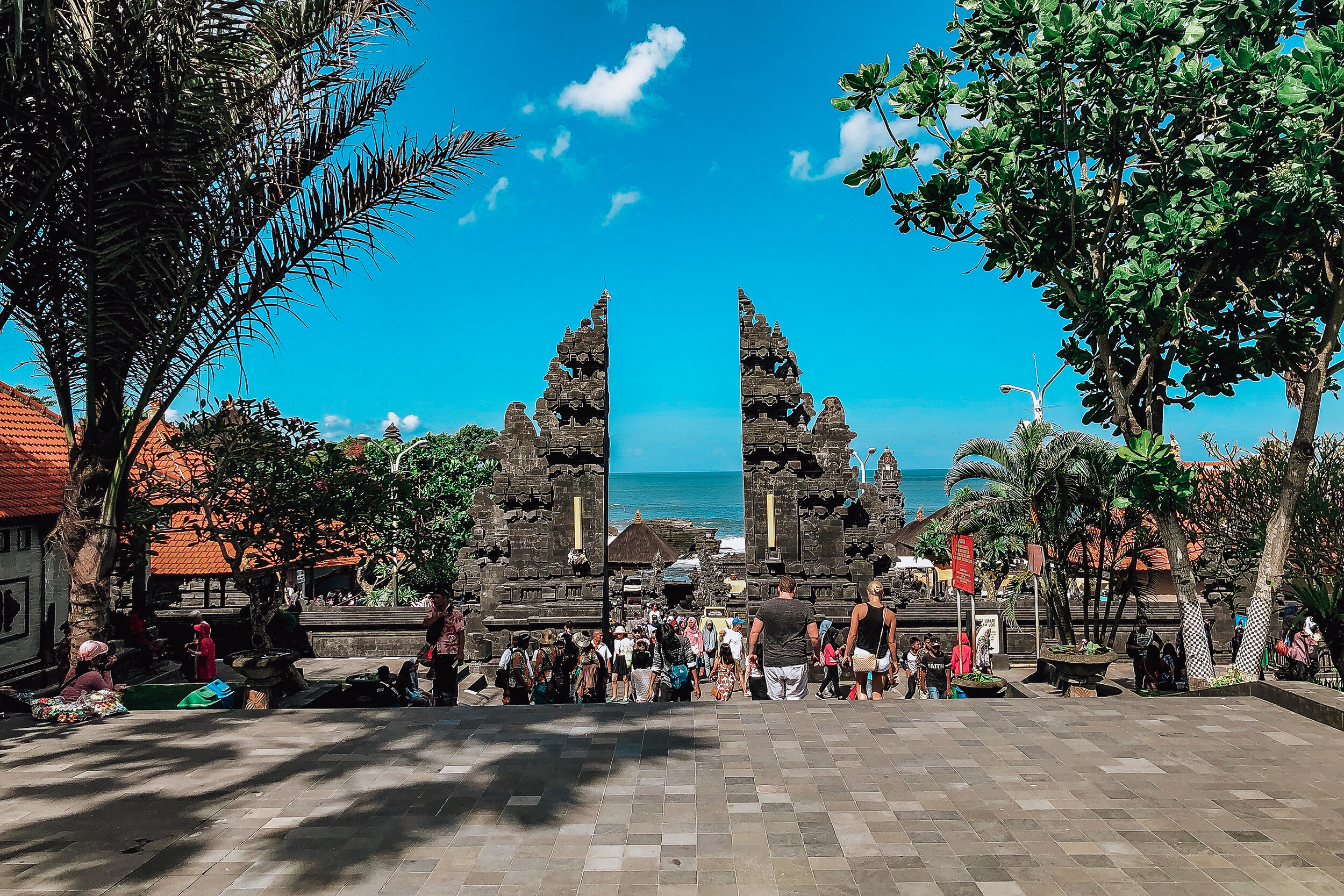
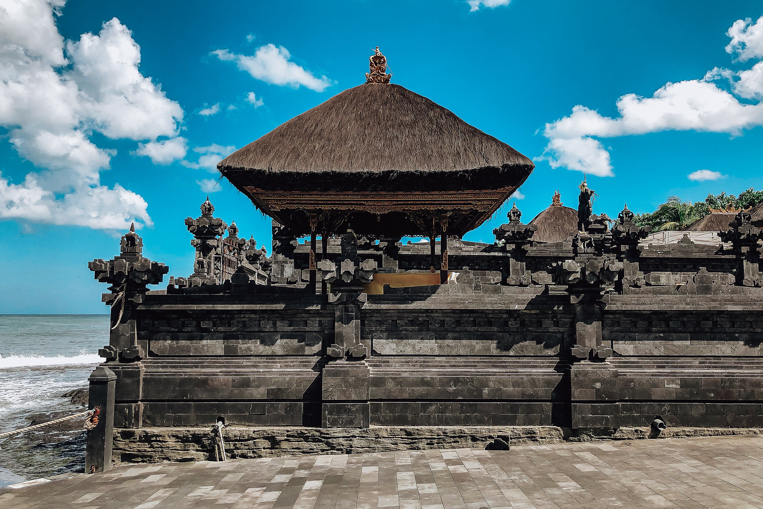
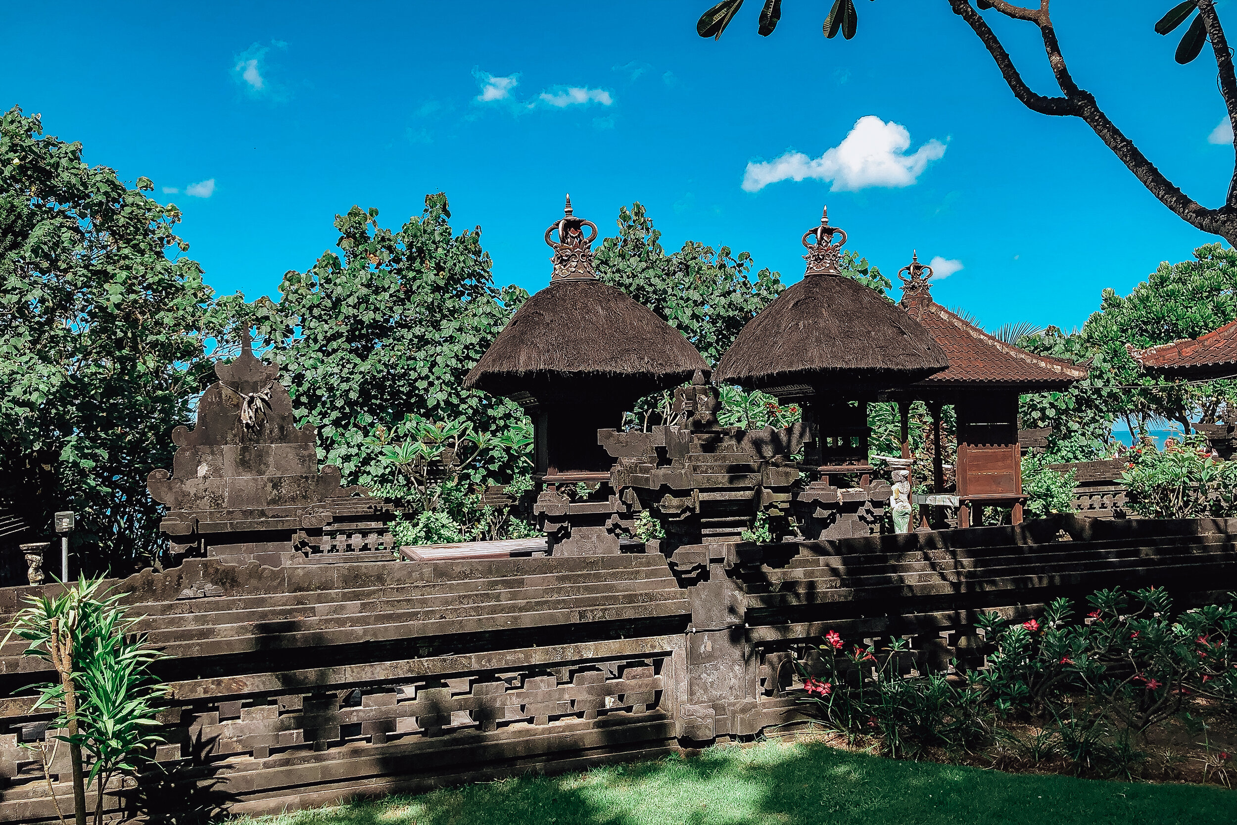
Tanah Lot Temple
A short taxi ride from Canggu is Tanah Lot Temple. It holds a special importance to the Balinese as its 1 of 7 ocean temples built to protect Bali from evil sea spirits. The temple is perched on a rock formation only accessible during low tide. Non-Balinese are not allowed to enter but can view from the nearby cliffs and outcrops below. Nearby is are temple gates and a number of food stalls to buy young coconuts and klepon, a green rice ball with palm sugar inside and a coconut shaved exterior.
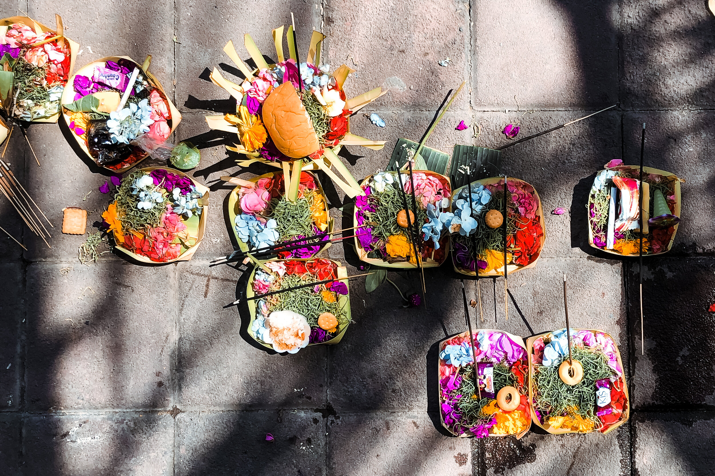
Markets
Love Anchor Canggu. An expansive indoor market with booths and vendors selling locally made home goods and crafts. You’ll often be offered a “special price.” Play along, haggle and never accept the first price. We picked up a pillow case and macrame plant holder for our apartment back in NYC.
Gypsy Market at La Laguna. A Sunday afternoon and evening market with live music, performers and vendors selling organic produce, cooked foods and hand made goods at La Laguna restaurant.
Old Man’s Market. Located in Old Man’s, a beer garden on Batu Bolong Beach, on the last Saturday of every month. The market hosts a mix of farmers, artisans, locals and expats all selling unique, sustainable and creative goods. If you’re not here while the market happens, the beer garden is a nice spot to grab a drink, watch the sunset or meet other travelers.
Things to Do
Take a Surf Lesson. The best surf lessons can be found by walking the beach. Many instructors and businesses have signs offering board rentals for 50K Rp ($3.50 USD) or 400K Rp ($28 USD) for a 2h lesson.
Get a Massage. Various types of massages are offered throughout Canggu and Bali in general for an affordable cost. Look for signs outside of businesses offering 60min or signature massage. It’s not uncommon to find one for 50-150K Rp ($3 - $11 USD)
Join a Beach Cleanup. At times, the currents bring in tons of plastic waste floating in the ocean. Join a beach cleanup or simply do your part to pick up any plastic you see.
Seminyak
Neighboring Canggu, this dense area is known for its expat community, street-food, international restaurants, high-end beach clubs, pockets of LGBTQ nightlife and white sandy beaches. We spent most of our time nearby in Canggu but ventured into this neighborhood as we walked down the shoreline and in-land for a floating brunch.
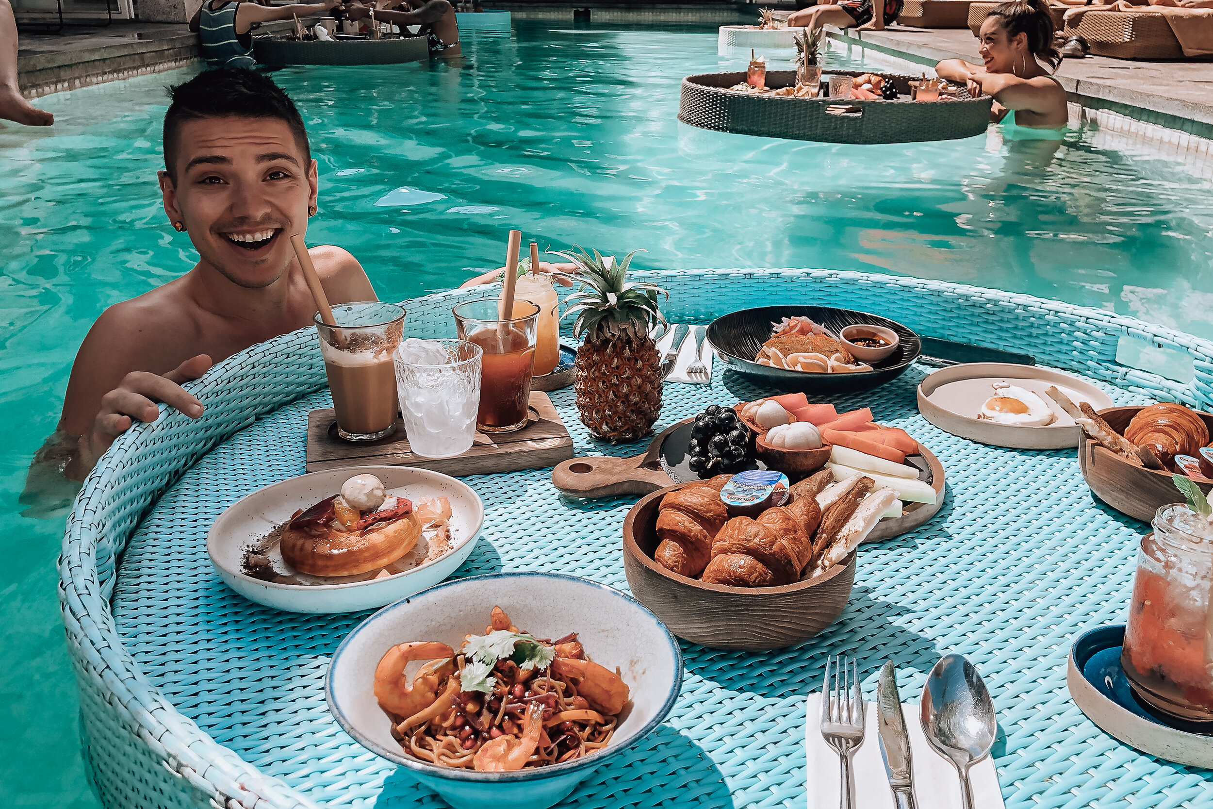
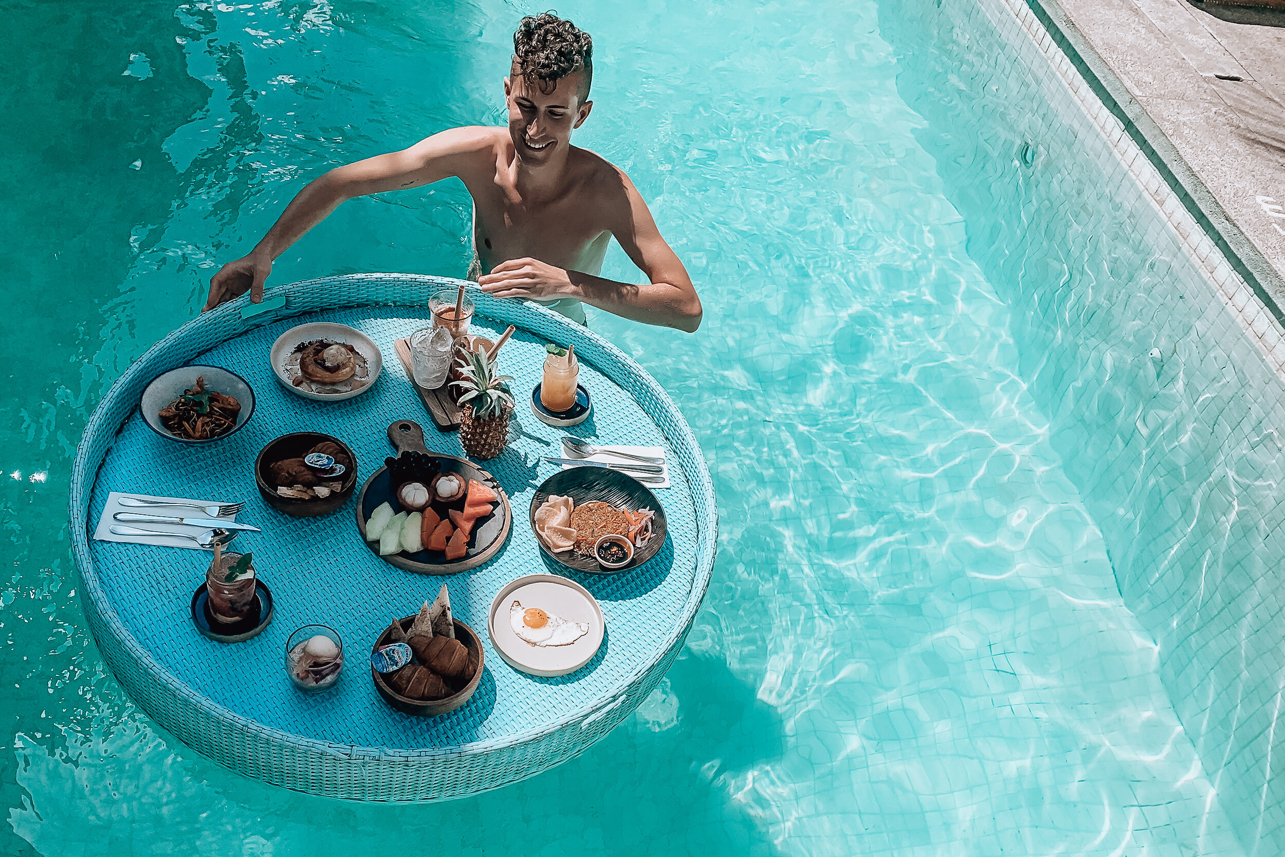
Floating Brunch
Making time for a floating brunch is a must do in Bali. It’s a poolside meal artfully presented in a floating basket. We visited Cabina, a restaurant with a turquoise pool, cacti & palm trees and comfy lounges surrounded by pink painted walls. Spending all afternoon here, we shared a tropical meal complete with fresh fruits & juices, fluffy pancakes and various Balinese bites.
Seminyak & Double Six Beaches
The shoreline walk from Canggu to Seminyak takes about 30 minutes, depending on how many beachside stops you make. The main beach, Seminyak Beach, is a long stretch of mostly white powdery sand with surfing, large beach clubs and resorts. Past Seminyak Beach is Double Six Beach, a popular tourist beach with inexpensive food, drinks, chair, lounge and surf rentals.
Gili Islands
The Gili Islands are a series of three tiny islands off the coast of Lombok. We spent 4 days exploring the Gilis, bicycling through the palm groves, snorkeling in the ocean, watching for sea turtles and relaxing on the beach.
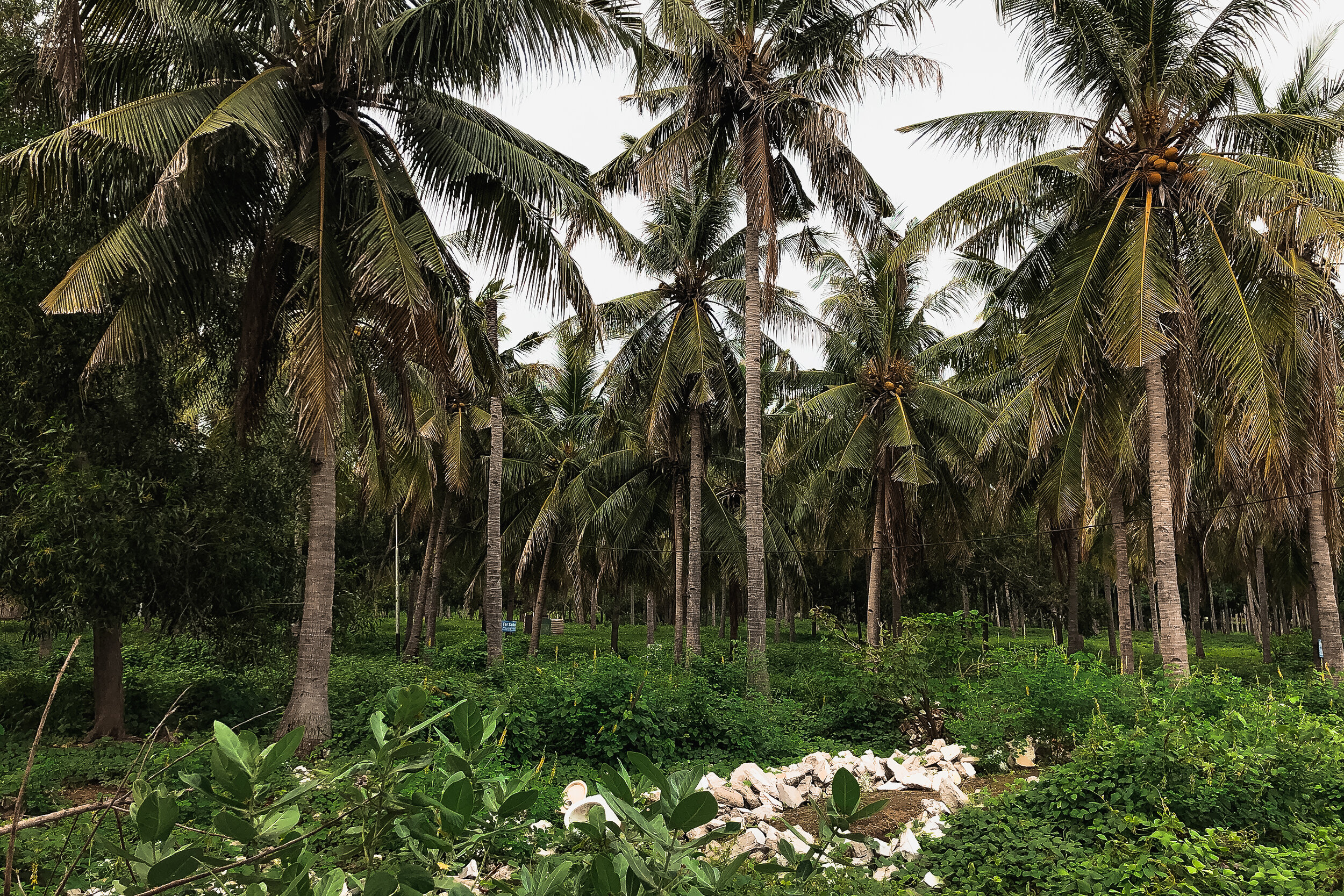
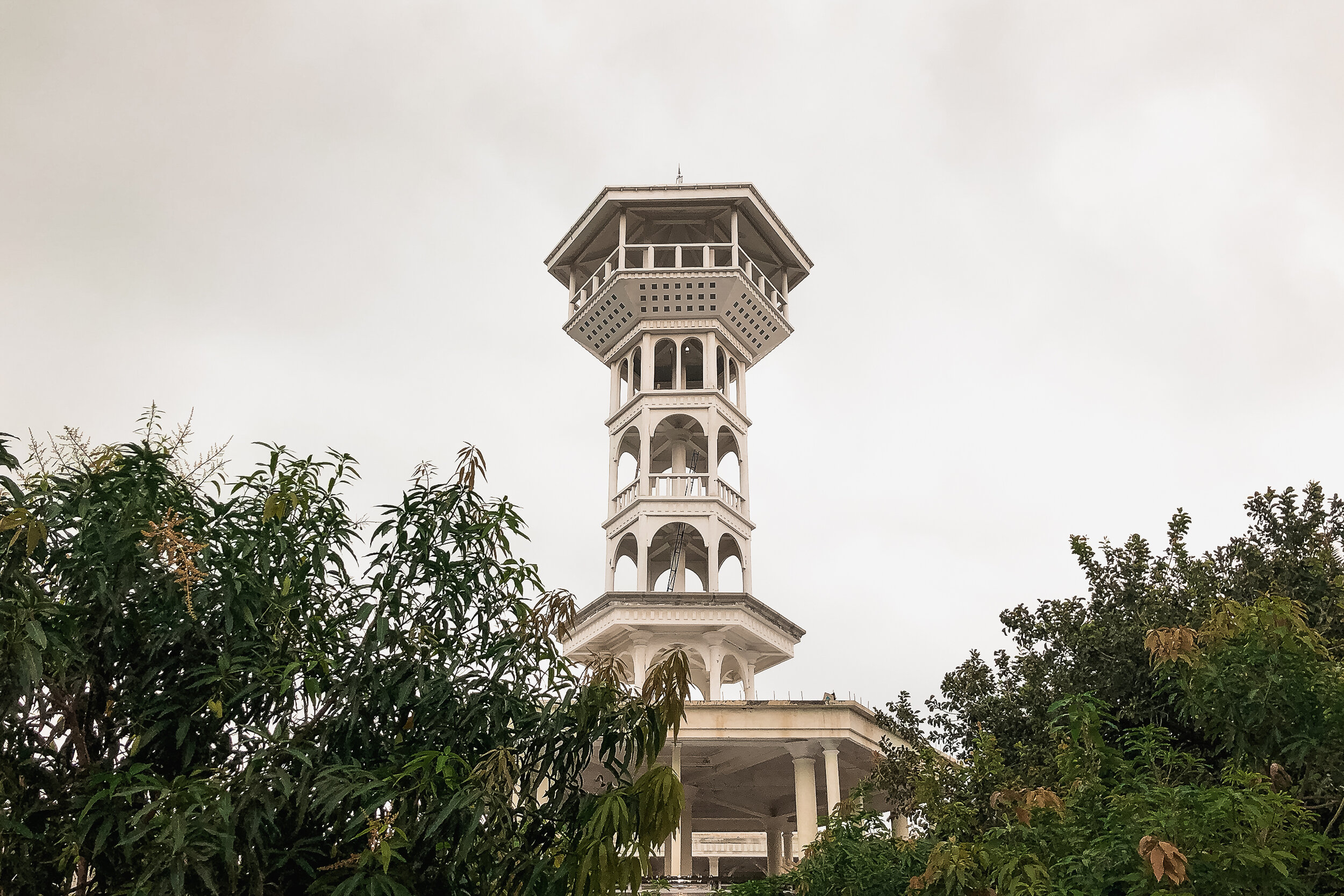
Gili Trawangan. Also known as Gili T, this island is the largest of the three Gilis. It’s the island where we stayed while visiting. It is the most lively and popular place to stay with a large number of restaurants, bars and places to stay around the perimeter of the island. The interior of the island is covered in palm groves and the homes of local families.
Gili Air. Located just across from Lombok, Gili Air has uninterrupted views of Mt. Rinjani. Similar to Gili T but smaller in size, it is known for its dining, nightlife, marine activities and ocean swings.
Gili Meno. Located in-between Gili T and Gil Air, it is the smallest, quietest and most relaxing of the three islands.
Getting Here
Take a speed boat. This is the fastest, safest and most hassle-free way to get between Bali and the Gili Islands. There are a number of departure points along the East side of Bali. Most speed boat companies can arrange transportation to bring you to the departure point from any location in Bali. We booked roundtrip tickets through Blue Water Express. Including luggage, transportation from Ubud and to our later accommodation in Bali, we paid 1.1m Rp each ($78 USD). Depending on your departure location, the speed boats can take anywhere from 2-4 hours.
Getting Around
Rent a Bike. The Gilis are very small. Though they’re easily walkable, the best way to get around is on a bicycle. You can ride around the perimeter of the largest island in less than an hour or cross its center in 15 minutes. Most accommodations rent bikes for around 50K rp per day ($3.50 USD)
Island Hopping. Public boats ferry between each island’s main harbors at infrequent times between 9am and 4pm. Each trip takes about 30min and costs 25-50K Rp ($1.75 - $3.50 USD) Fast boats take about 15min and cost 85K - 100K Rp ($6 - $7 USD)
Gili T Beaches
The island is essentially one giant beach paradise! Based on location, here’s our breakdown to exploring the different corners of the island.
East & South East. The sandiest beaches and shallowest waters for swimming and sunbathing. Closest to the restaurants and bars of the main street.
North East. Also known as Turtle Point, this is the best place to spot sea turtles. The shallow warm waters are home to sea grass where sea turtles feed. To spot them, rent a standup paddle or kayak and quietly wait in the water. The best time to go is before the snorkel tours show up at 10am. Eventually a sea turtle will poke its head above the water for air or even swim within feet of you.
North. Most beaches here are private for members of the resorts and hotels.
North West. There are several restaurants with smaller crowds than the on the Eastside of the island.
West. Nice restaurants to watch the sunsets and see Bali’s silhouette. The water is wavier due to the currents in the strait between Bali and Lombok.
Southwest. The best spot to watch the sunset over the Indian Ocean. A lot of diving tours frequent the waters on this side of the island to spot manta rays and sharks.
South. Mostly dead coral lining the beaches.
Coral Reefs
We had read about the stunning coral reefs home to all manner of sea-life. Unfortunately, many of the coral reefs have suffered extreme bleaching due to rising sea temperatures in the shallow waters. During our snorkel tour, we only saw the occasional sign of life among the black and grey decaying coral reefs covering the ocean floor. This was evident on shore, especially along the west half of Gili T. Vast stretches of the beaches were covered in piles of dead coral that had washed up.
To protect yourself and the living coral, bring water shoes and coral safe sunblock.
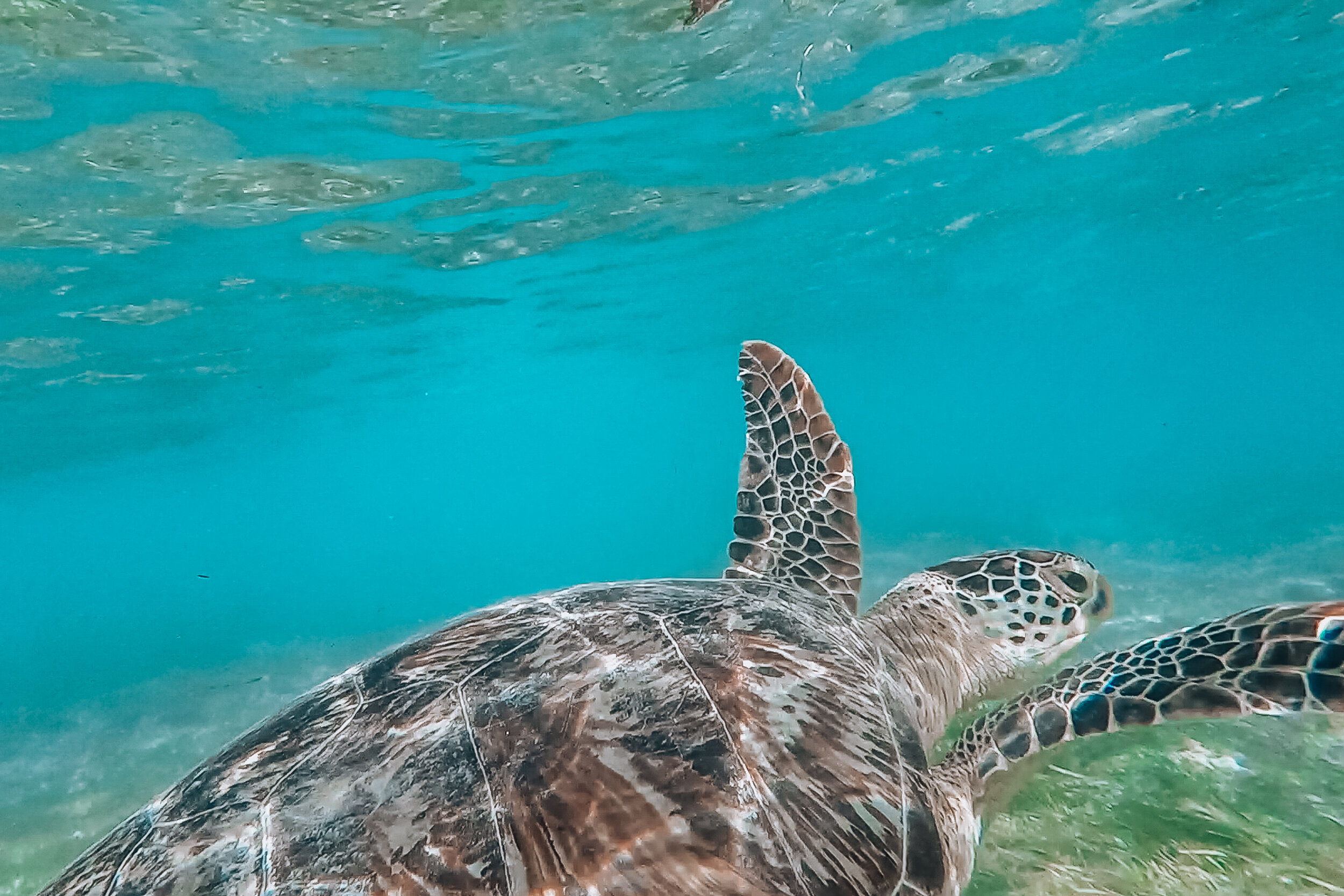
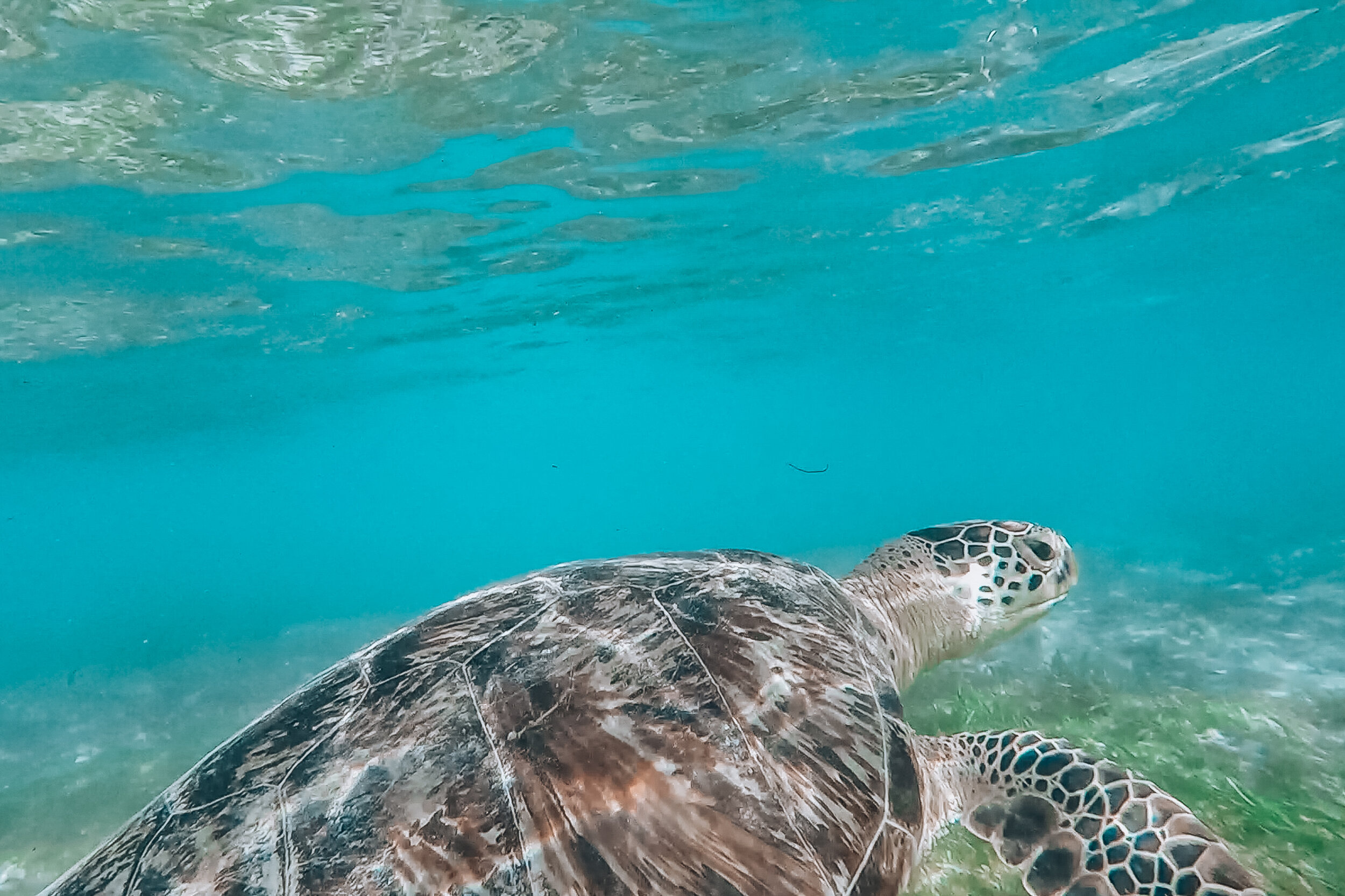
Things to Do
Go on a snorkeling tour! Many restaurants, dive school and guides along the main-street on Gili T will offer inexpensive snorkel tours around the Gili Islands. We only paid 50K Rp for a 4 hour snorkel tour ($3.50 USD)
On our tour, we snorkeled around the coast go Gili Meno where we saw the bleached reefs and an artificial reef called The Nest. The Nest is an underwater sculpture of human figures standing in a circle. After snorkeling here, we moved to an area on the other side of Gili Air with many species of fish. It was incredible snorkeling several feet below the surface with the fish swimming in all directions around us.
After snorkeling, we jumped and dove off the roof of the tour boat before stopping in Gili Air for lunch on the beach. It was a great experience and opportunity to meet travelers from around the world. We met some Brits on “holiday” and a group of siblings from Spain, one of which visited us later that winter in NYC.
Acrylic Kayaking. Rent an acrylic kayak and paddle around Turtle Point. Pro tip, select the kayak with minimal scratches on the bottom. The more scratches, the less you’ll actually be able to see though it.
Stand Up Paddle. Rent a stand up paddle and explore the strait between Gili T and Gili M. The water is usually calm making it easy to balance. This was another fun way to spot sea turtles.
Watch the Sunset. There are a number of beach clubs, restaurants and hotels with lounges, ocean swings and patios on the west and southwest sides of the island to watch the sunset.
Get a Bamboo Tattoo. A bamboo tattoo is simply a hand poked tattoo. There are a number of tattoo studios offering traditional bamboo tattoos across Gili T. We visited NoA The Master of the Bamboo Tattoo. Devin got a geometric elephant tattooed on his inner arm and I got a wave on my ankle. The process was sanitary and clean. We watched the artist clean all of his tools and present us with the an unopened package containing the needles he used for our tattoos. It’s worth it for the authentic experience!
Take a Cooking Class. One of the best meals we had on Gili T was the one we cooked ourselves at the Sweet & Spicy Gili Cooking School on the beach in front of Egoiste Restaurant. During the 2 hour cooking class we cooked multiple Indonesian staple dishes including:
Fried tempe and tofu in homemade peanut sauce
Mie goreng (spicy fried noodles and veggies),
Pepes ikan (fish cooked in a banana leaf)
Klepon (green colored rice balls filled with palm sugar)
Food & Drink
In addition to the traditional Indonesian dishes above, here are a couple of “foodie” things to know:
Look out for street carts selling grilled corn and satay skewers cooked over coconut husks.
Most restaurants are along the perimeter of the island.
The East Side has many local style restaurants and bars
The West Side has many beach club style restaurants and bars
If you’re visiting just before or during the celebration of Ramadan, there will not be any alcohol sales on the island.
Bukit Peninsula
The Bukit Peninsula is the southern most point in Bali. It’s known for its swimmable and surfable cliffside beaches, beach clubs and grilled seafood. We stayed here during our last few nights in Bali.
Getting Around
Plan for extra time. The peninsula is very hilly making it difficult to get around. There are only two main roads with smaller roads branching off causing frequent congestion.
Hire a taxi driver. Most drivers will offer to exclusively bring you around the peninsula. The advantage to this is that they’ll wait for you after dropping you off, be on call to pick you up and make great recommendations for things to do, sights to see and places to eat. Pro-tip: Download WhatsApp to keep in touch, negotiate pricing and never pay all at once. Daily drivers usually cost $250K Rp ($18 USD)
Rent a Scooter. Like throughout the rest of Bali, you can get around on a scooter. The only difference in the peninsula is that most places charge a 10-15K Rp parking fee (about $1 USD)
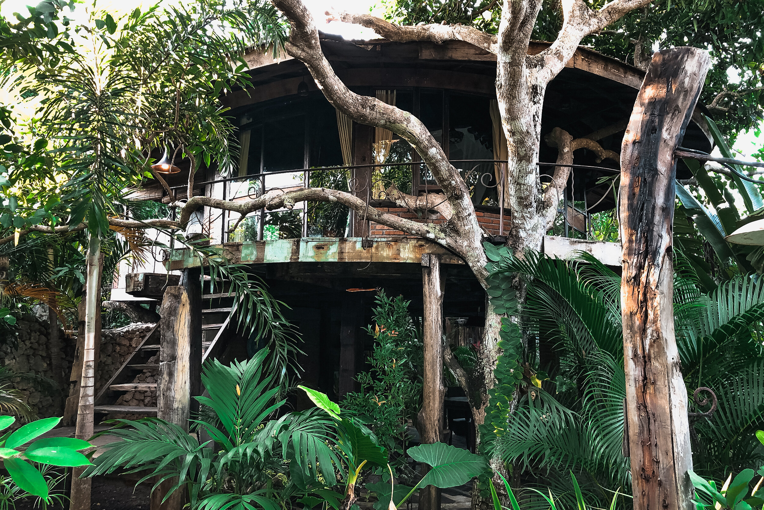
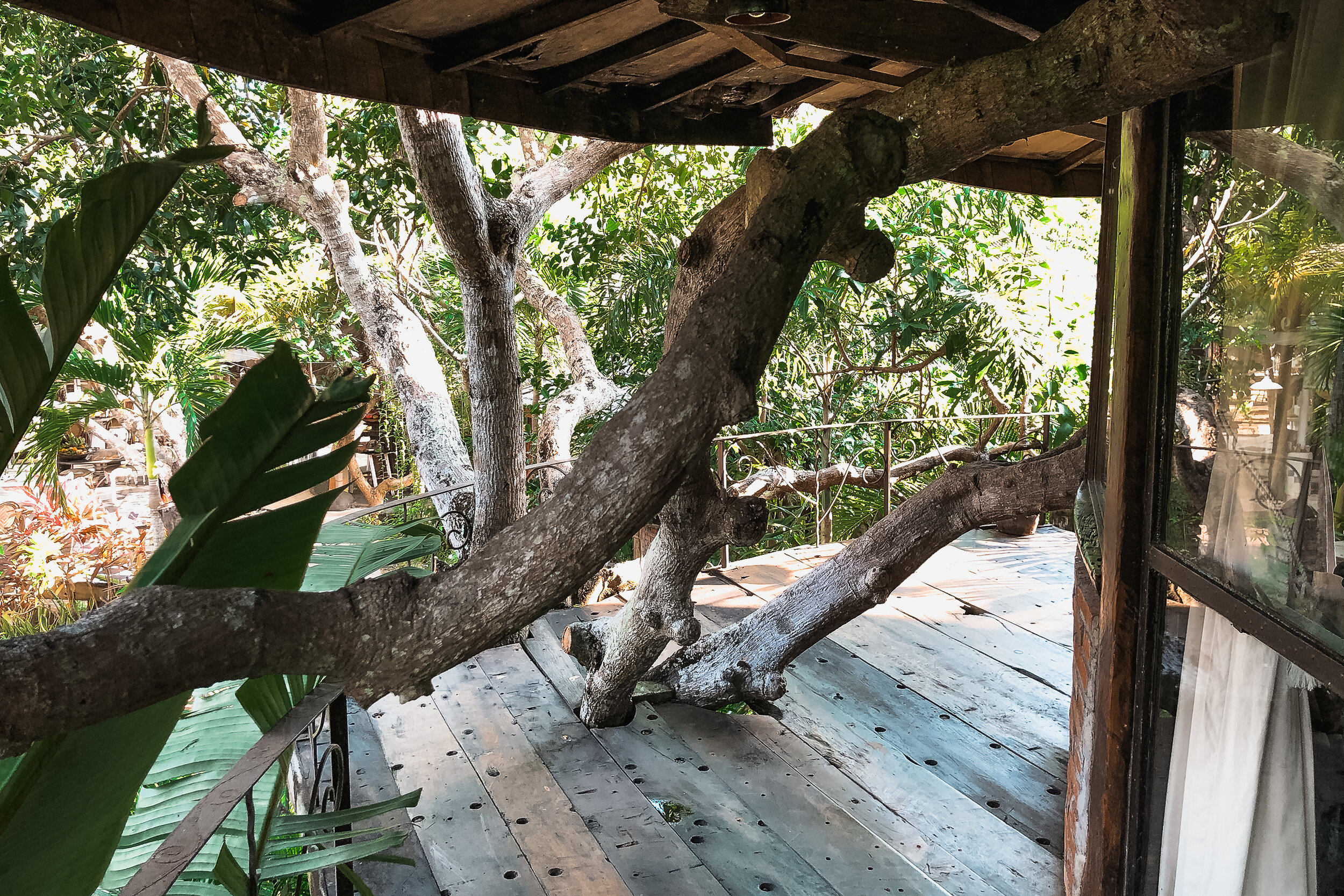
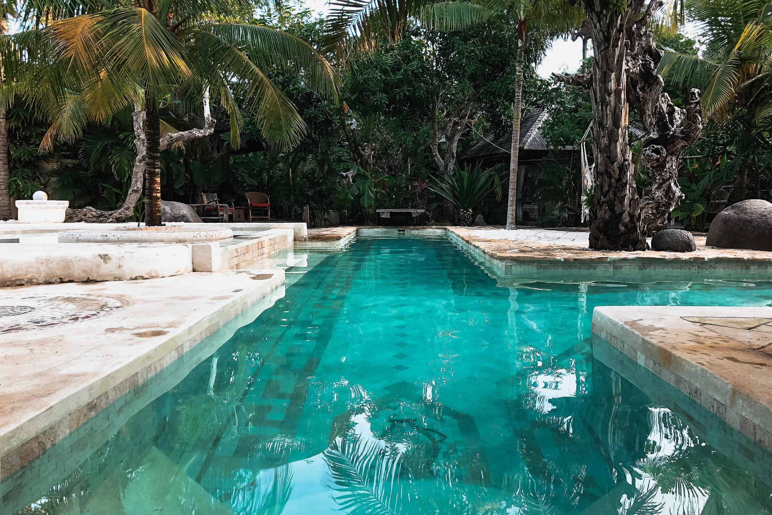
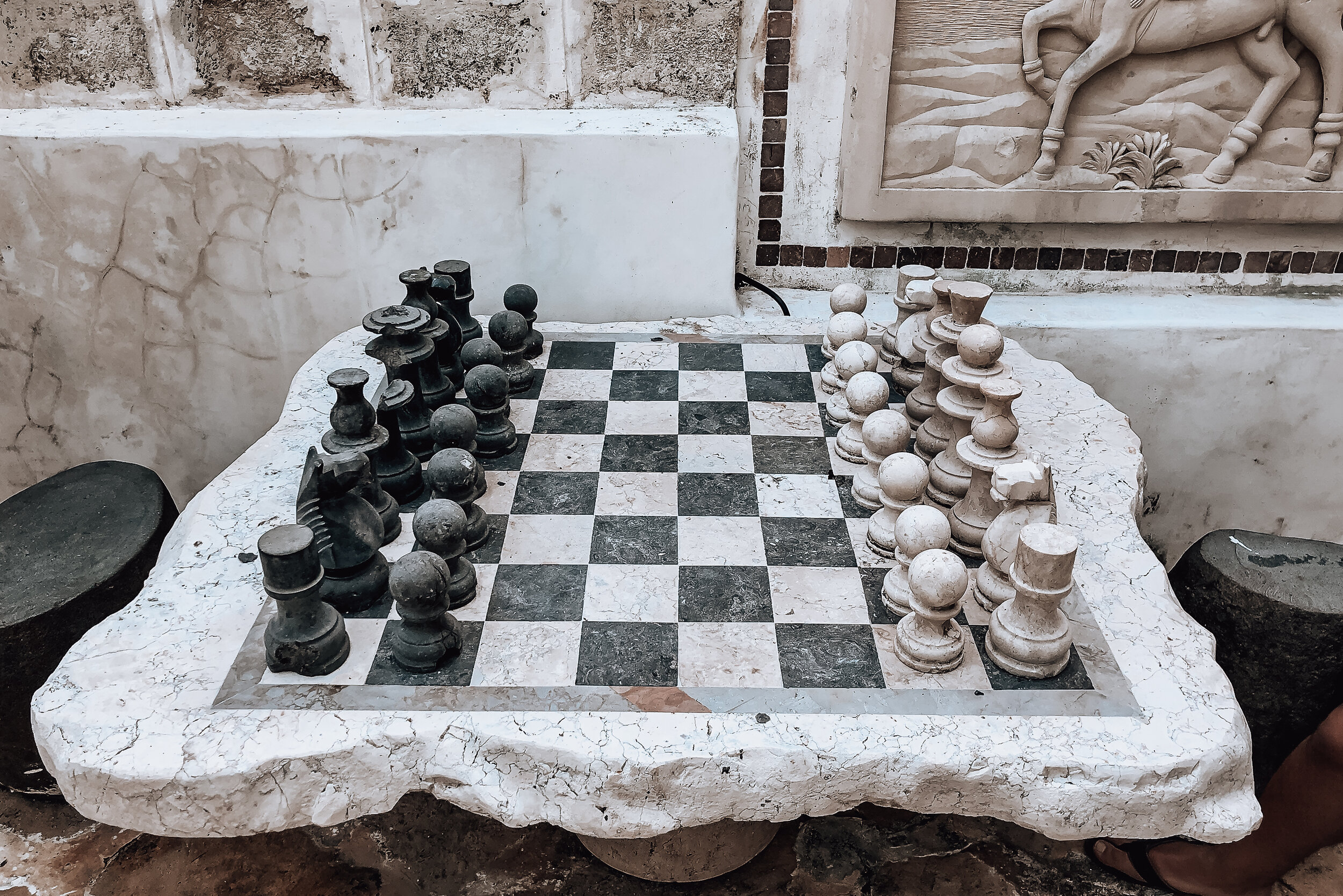
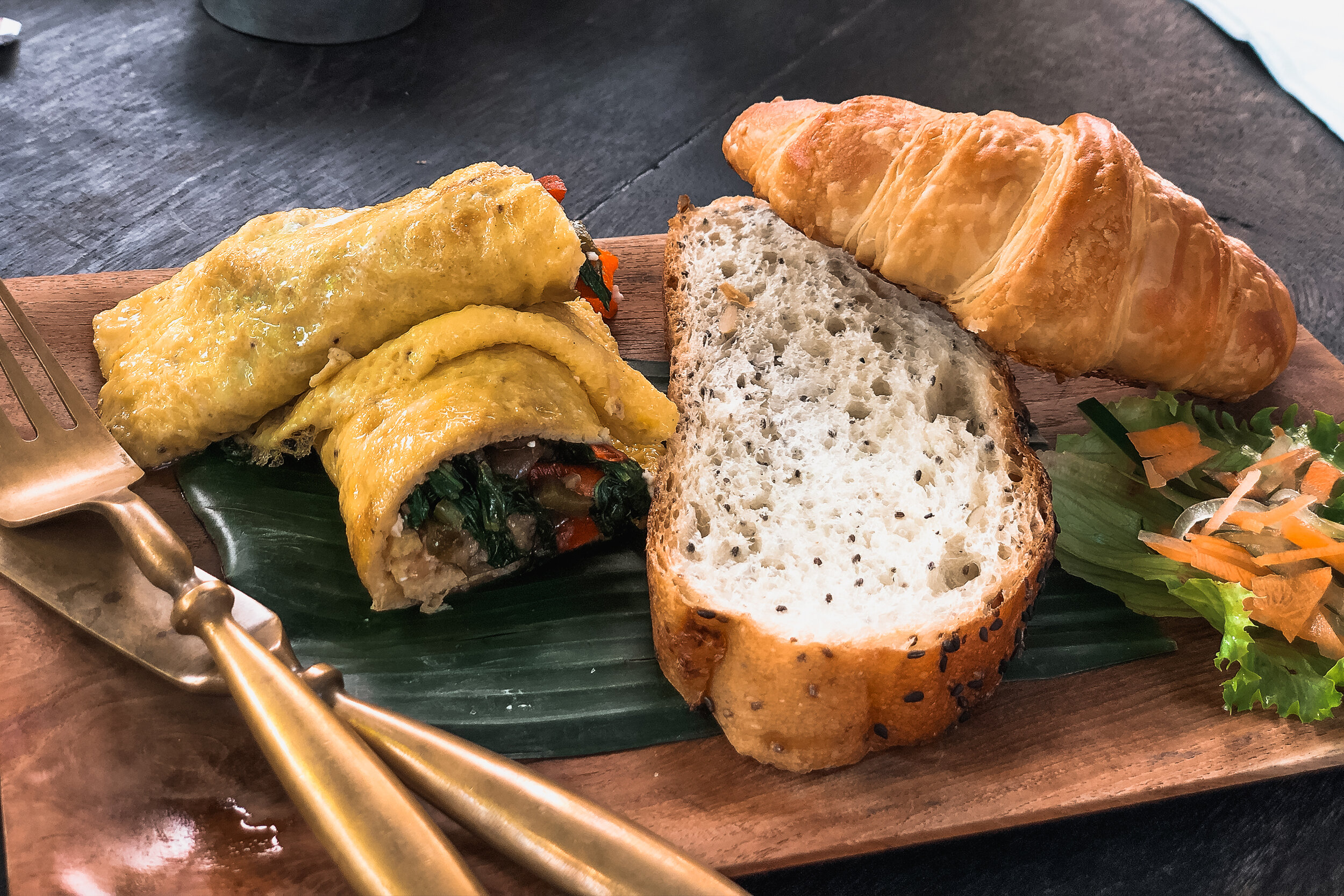
Where to Stay
We stayed in a jungle tree house at an estate called The Alchemist, a relaxing and adventurous end to our stay in Bali. The property had a restaurant and bakery serving a mix of traditional Balinese and French cuisine which made for delicious breakfasts with tropical fruits, fresh croissants and poached eggs. The back of the property had a stunning lap pool, large stone chess set and a few cottages for other guests and the owners.
Things to Do
Have Bali High Tea. Visit the Orchid Tea Lounge late one morning for Bali High Tea. The tea room is a modern greenhouse decorated with hundreds of blooming orchids. The tea service was especially cute with all the cakes and treats either wrapped in or served on banana leafs.
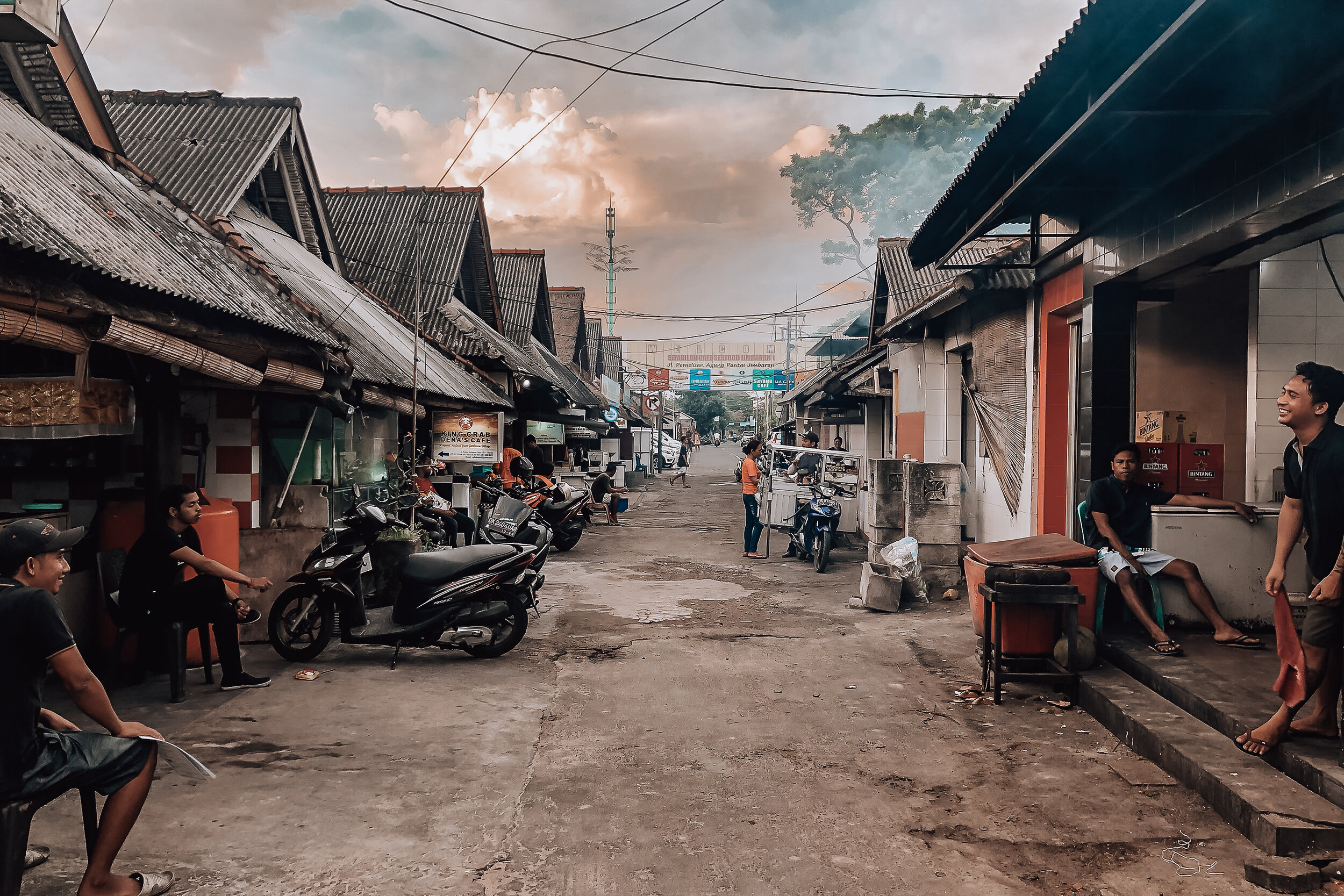
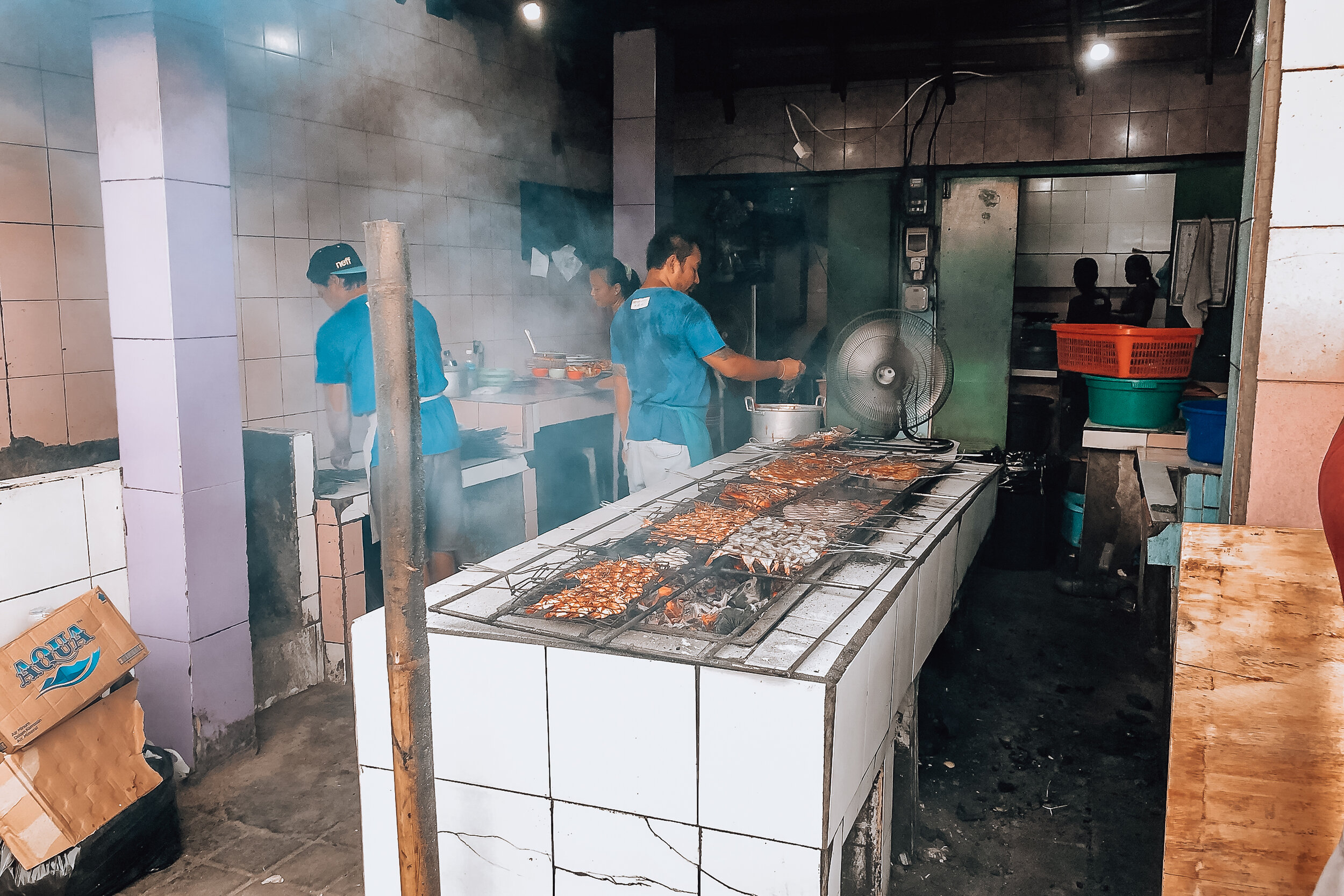
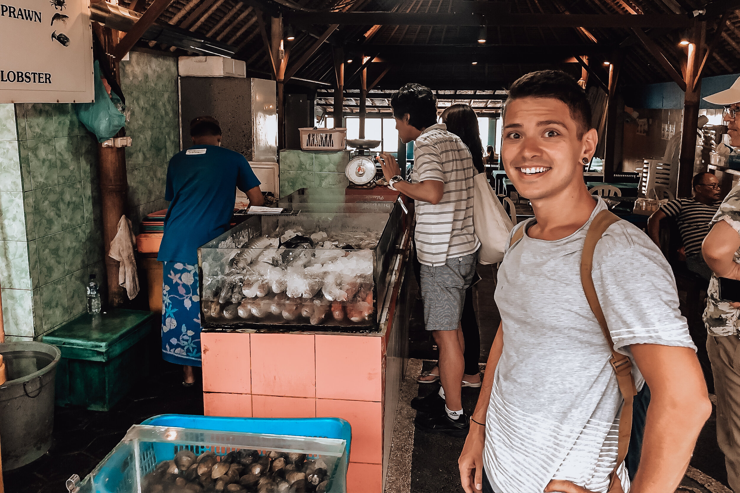
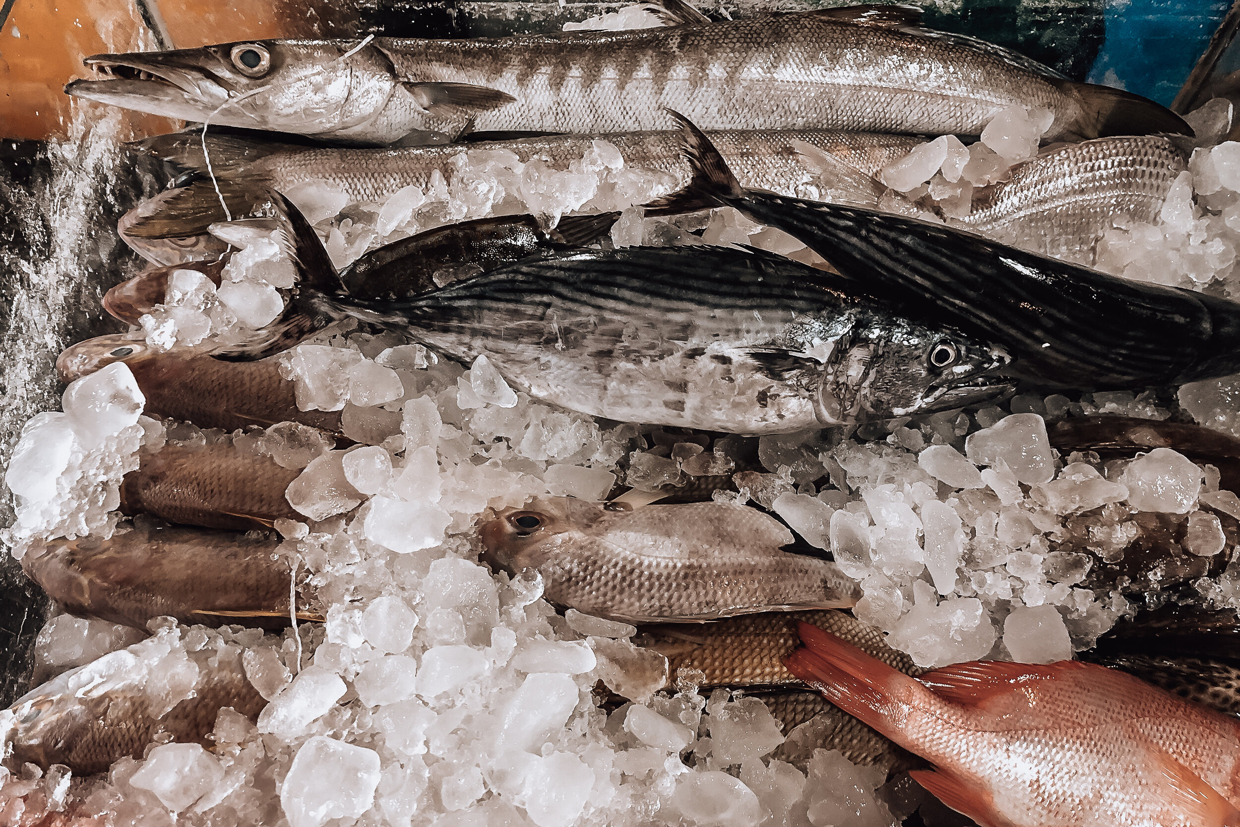
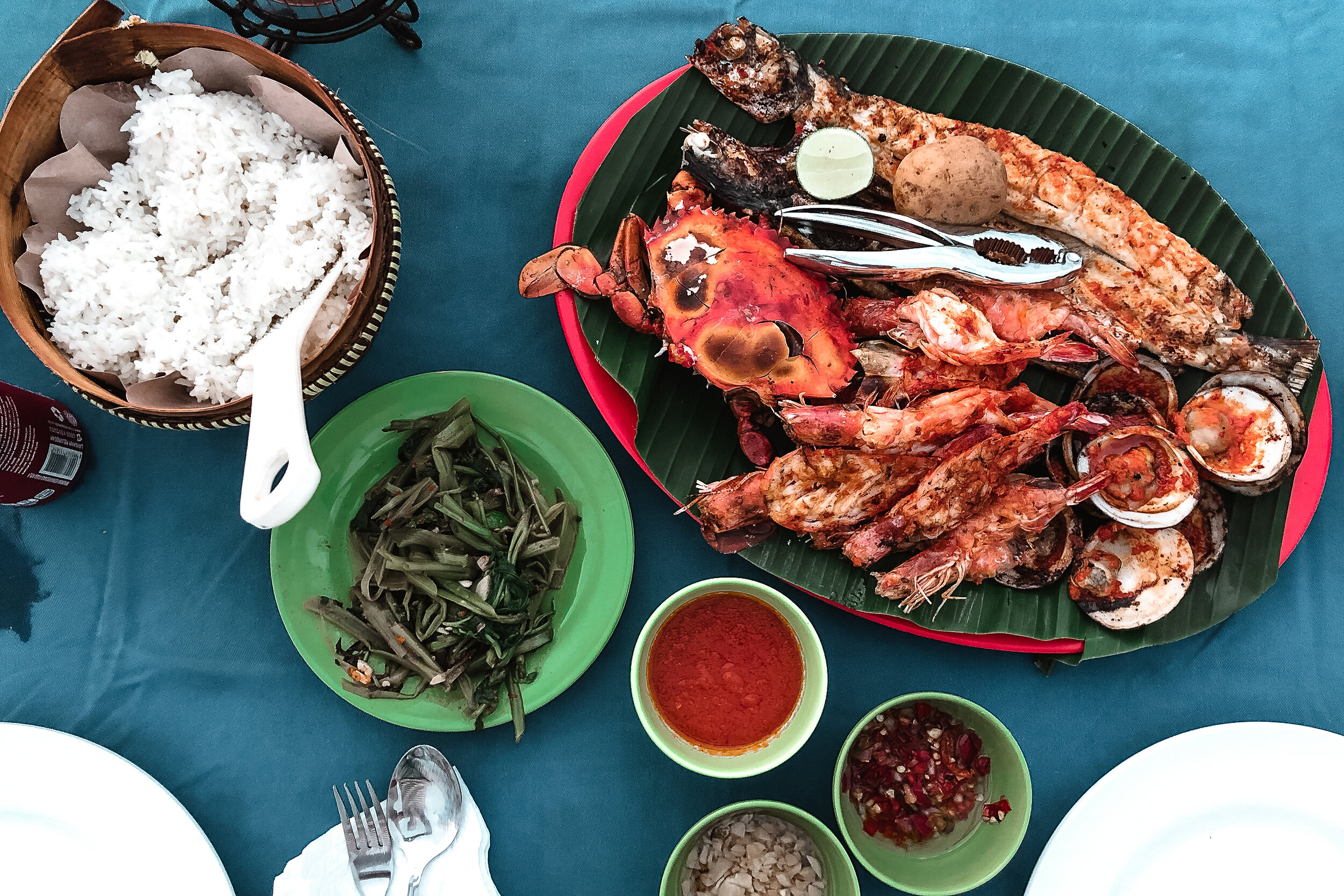
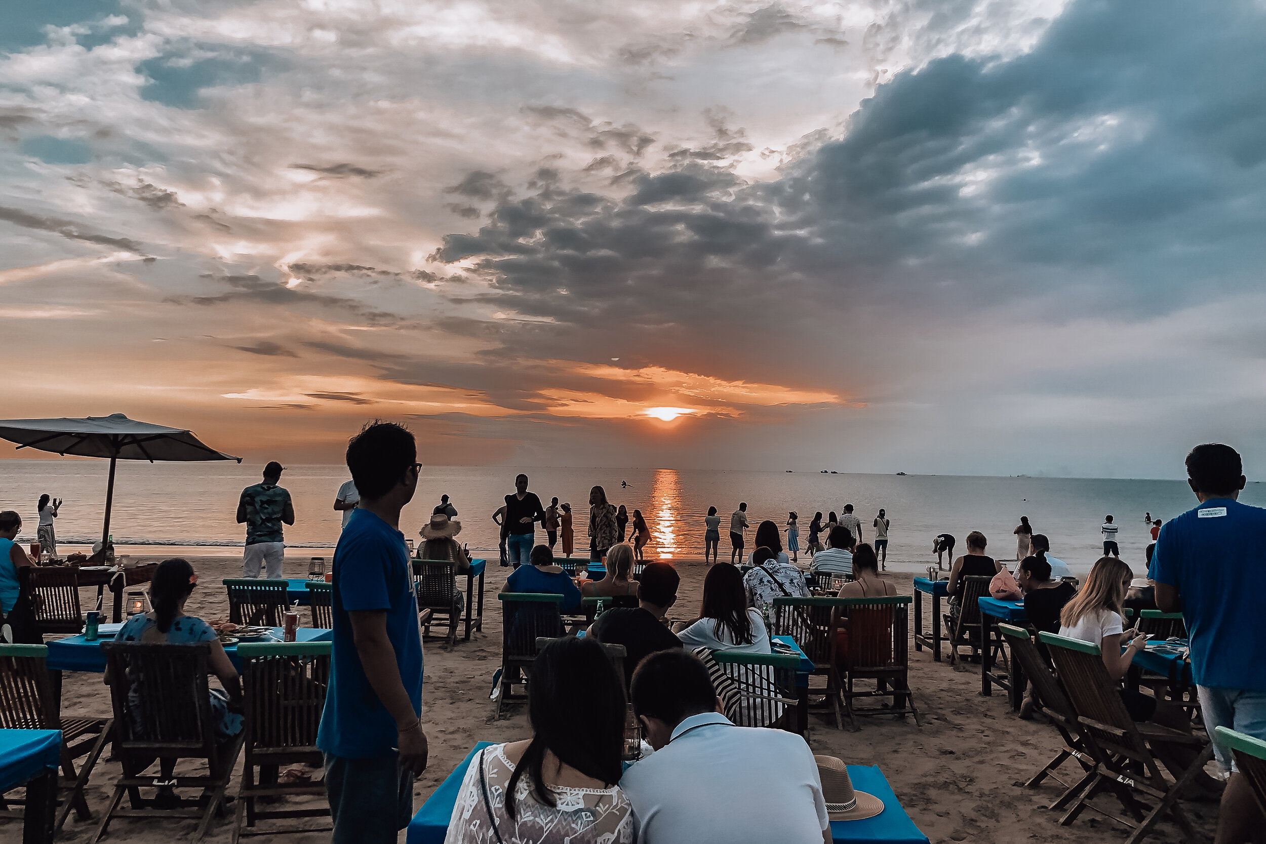
Eat Jimbaran Seafood. Jimbaran Beach is home to a finishing village lined with restaurants and sheds grilling all kinds of freshly caught and live seafood. The seafood is cooked over large grills burning coconut husks and fanned by the chefs. The selection is vast and ranges between vendors. We shared a platter of whole crab, prawn, barracuda and oysters plated on a banana leaf.
The best options are towards the south end. The seafood is cheaper, you can dine directly on the beach and the vibes are much better. We ate here during our last night in Bali, watching the sunset one last time over the Indian Ocean while being serenaded by an international mariachi band that could sing songs in your language based on your nationality. Avoid the higher-end restaurants towards the north, they’re tourist traps.
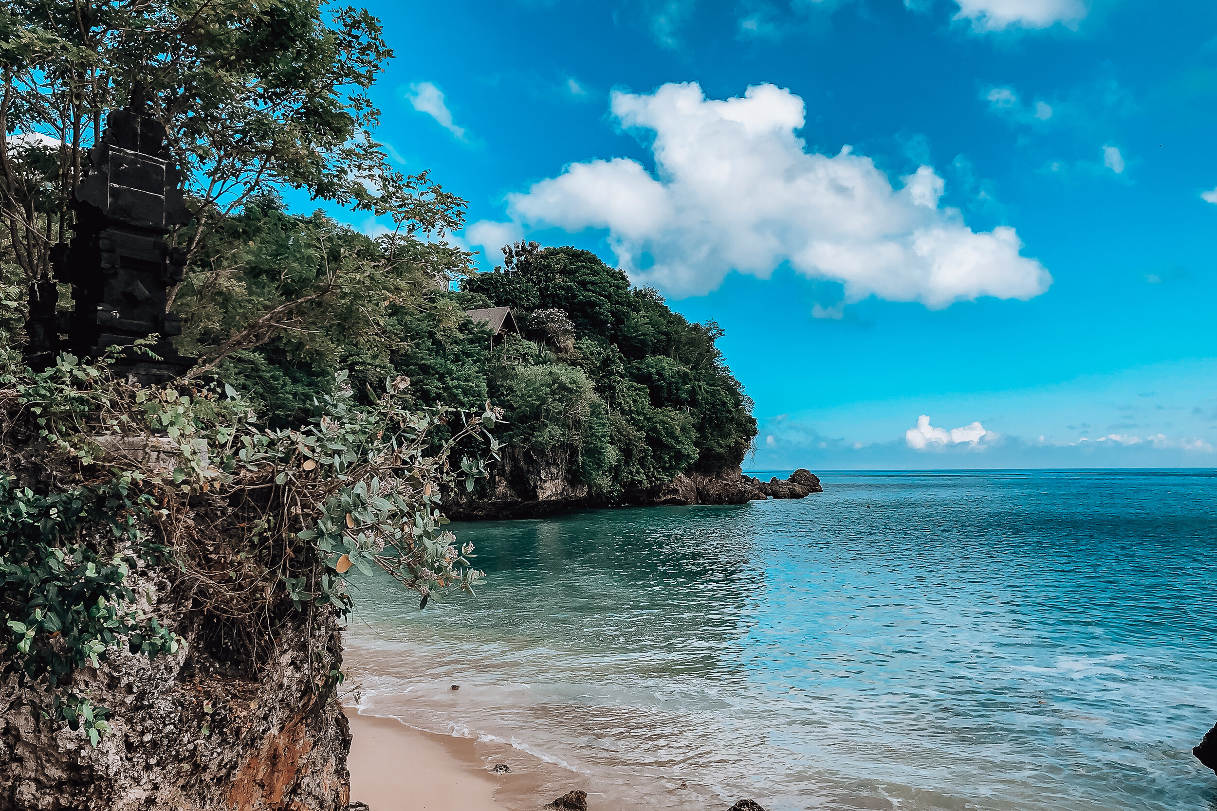
Padang Padang Beach. We visited a lot of beaches in Bali but this was one of our favorites! The small beach is nestled in a cove with protection from ocean currents making it easily swimmable.
It’s accessible via a set of stairs built within the crevice of the cliff above. There is an entrance fee of 10K Rp (less than $1 USD) Watch out for monkeys on steps and near the tree line along the beach. Like in the monkey forest, they’re mischievous and will try to snatch your belongings.
The beach is great for sunbathing with little shade, though you can rent an umbrella for 100K Rp ($7 USD). There are a number of warungs to grab a meal and vendors selling fresh coconuts to drink out of. Afterwards, they’ll chop them open for you to eat the meat from.
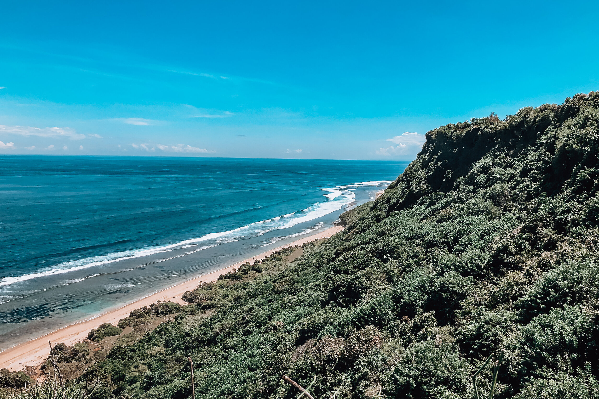
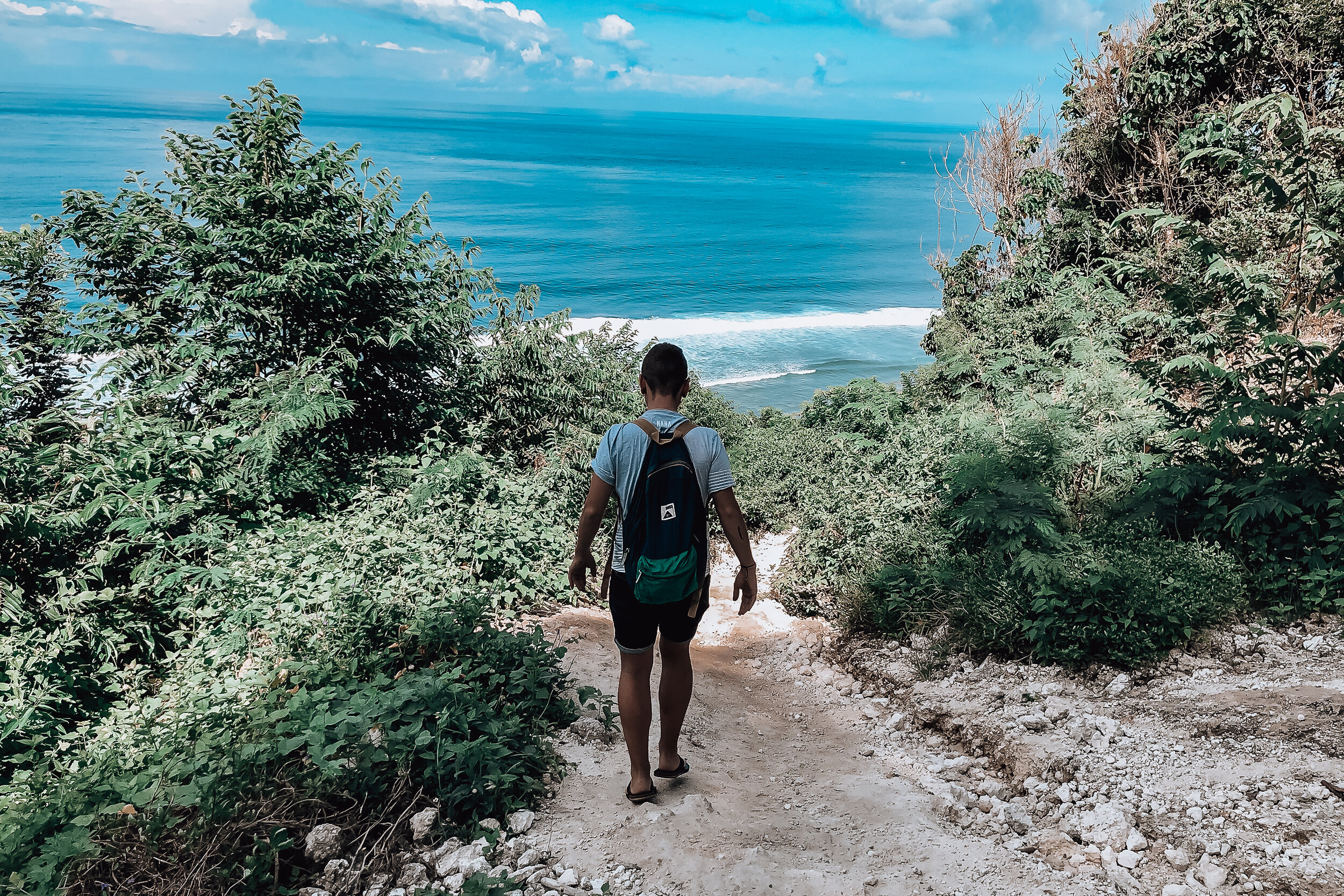
Nyang Nyang Beach
This remote beach takes a little effort to reach. If you enjoy hiking followed by a reward, this is the perfect spot for you! The beach is divided into 2 sections, the East and West sides. There is also a nearby paragliding camp offering flights from above the beaches.
East Side. The sandy beach and shallow waters are perfect for swimming and lounging in. There are also a couple of warungs selling beverages, snacks and offering a shaded retreat from the sun. The most notable sight on the beach is the graffitied remains of a washed up shipwreck. The beach is accessible via a lush cliffside trail behind the Villa Plenilunino. There are a number of warungs along the trail to stop for a meal and drink. Once you reach the bottom, you’ll have to pass through a grassy field with a heard of grazing cows before reaching the beach. It’s best to avoid getting close to or startling them.
West Side. This beach is perfect if you want total seclusion. There are no warungs, so bring your own food and water. The sandy shoreline transitions to bedrock at the water. This combined with the waves and currents make it dangerous for swimming. Though the seclusion and sound of crashing waves makes this beach feel like your own personal desert island. The beach is accessible via a steep gravel roadway just beyond the parking lot adjacent to Nyang Nyang Warung.
Before You Go. Plan the section you want to visit. Both sides are separated by a 500ft stretch of jagged rocks covered in large crabs beneath an unstable the cliff. It’s dangerous and near impossible to cross. You do not want to get stuck here when the high tide comes in. Bring a bag to collect plastic. Due to the beach’s southern most point, the ocean currents often litter the shoreline in plastic waste.
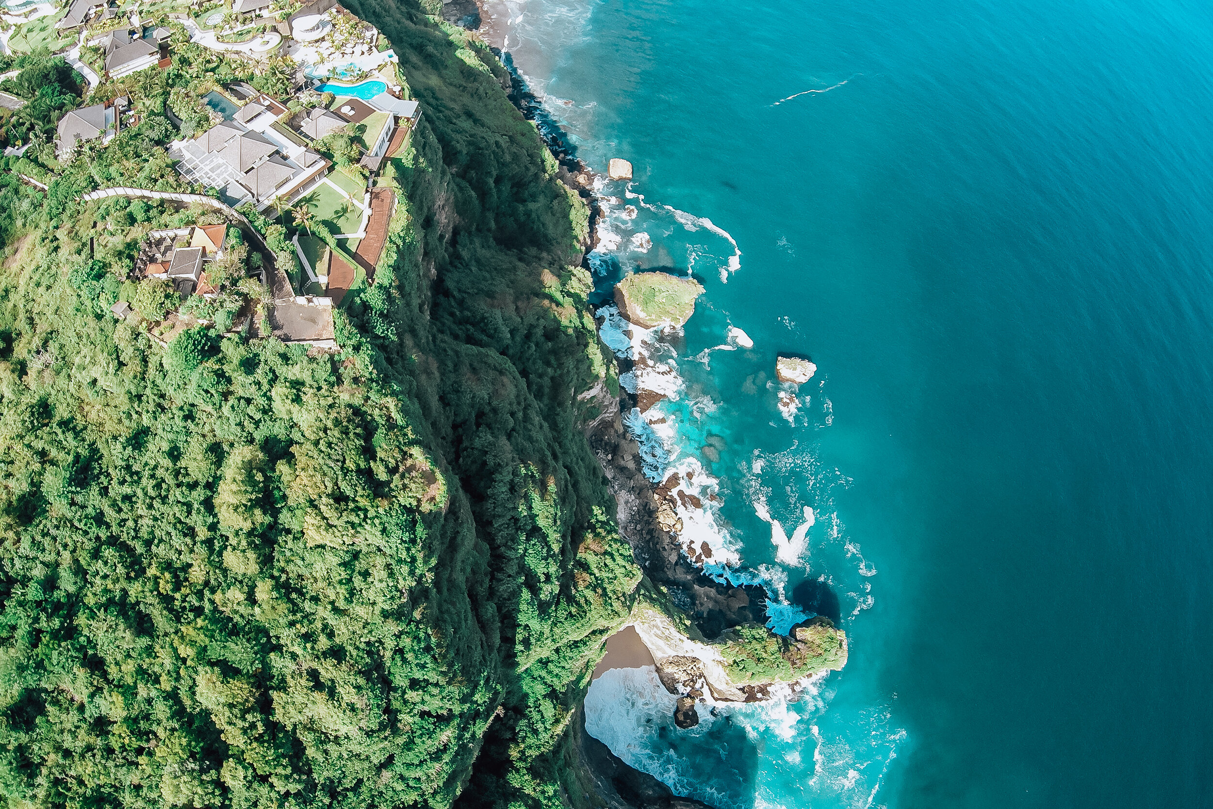
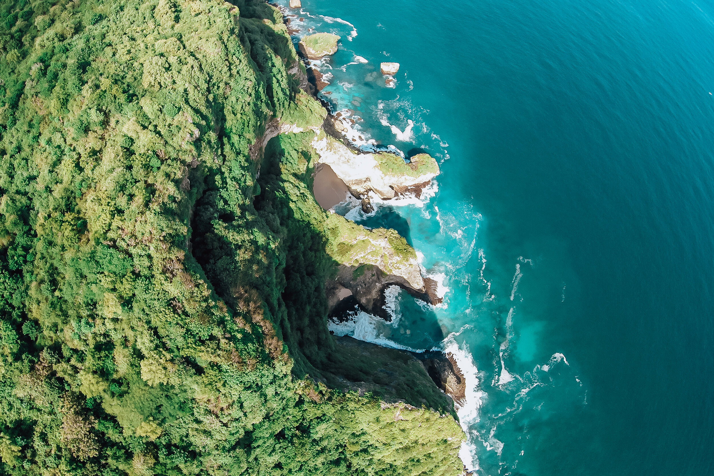
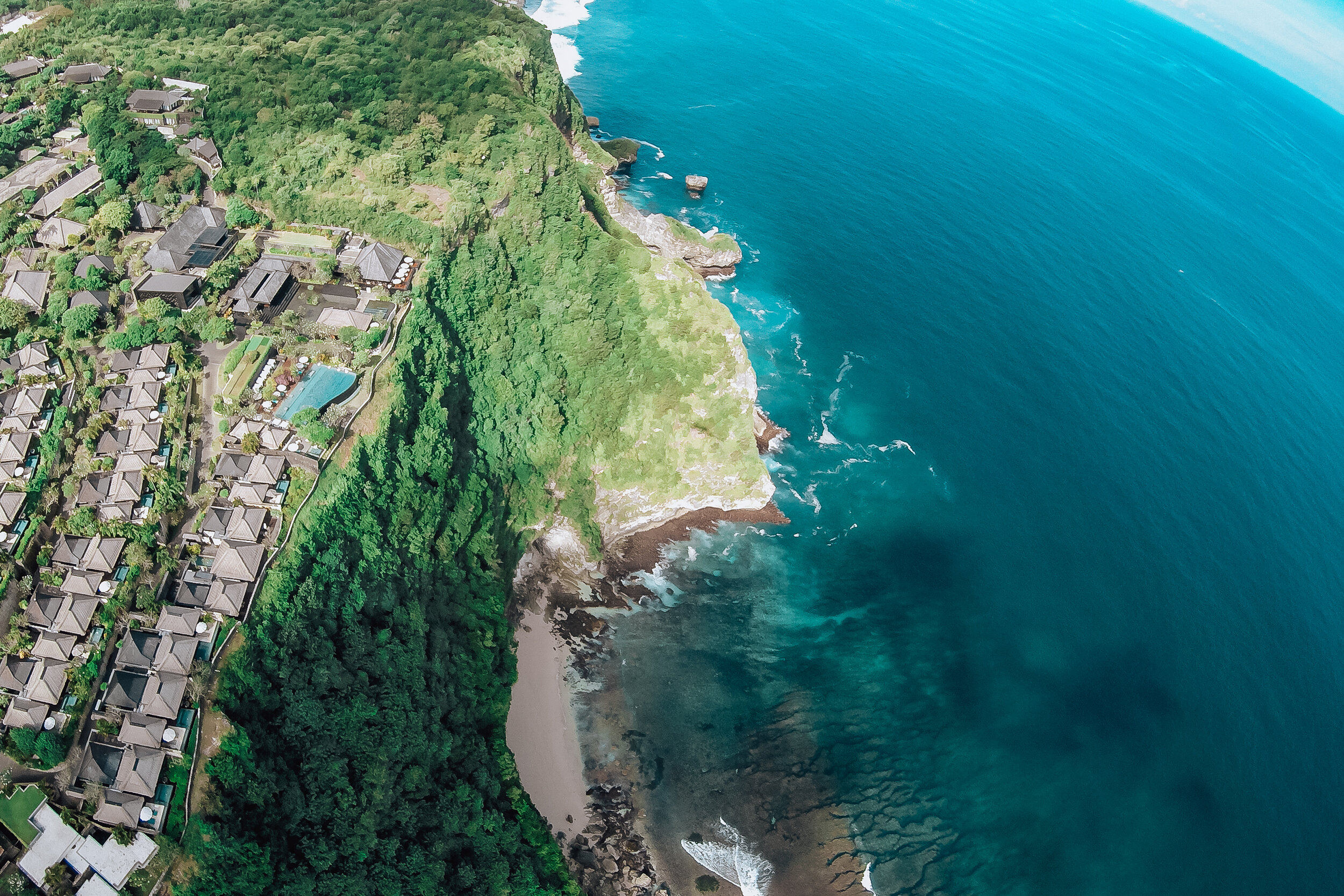
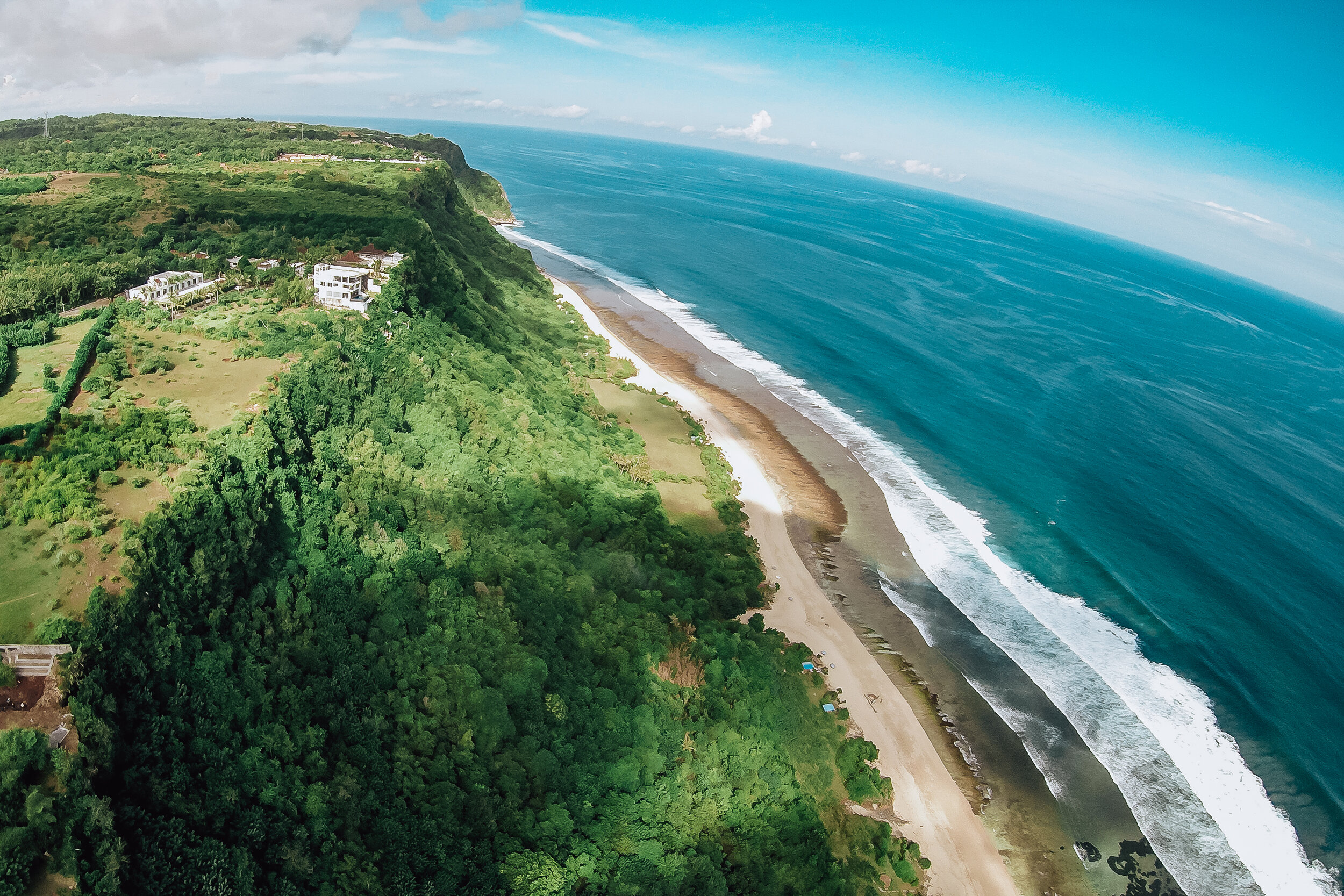
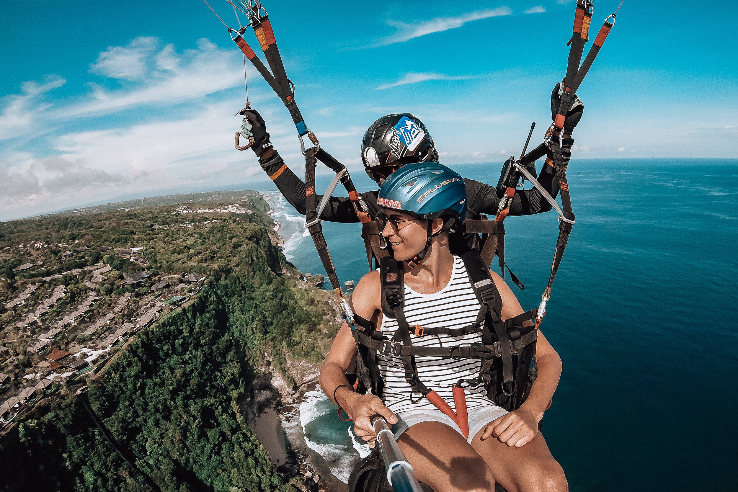
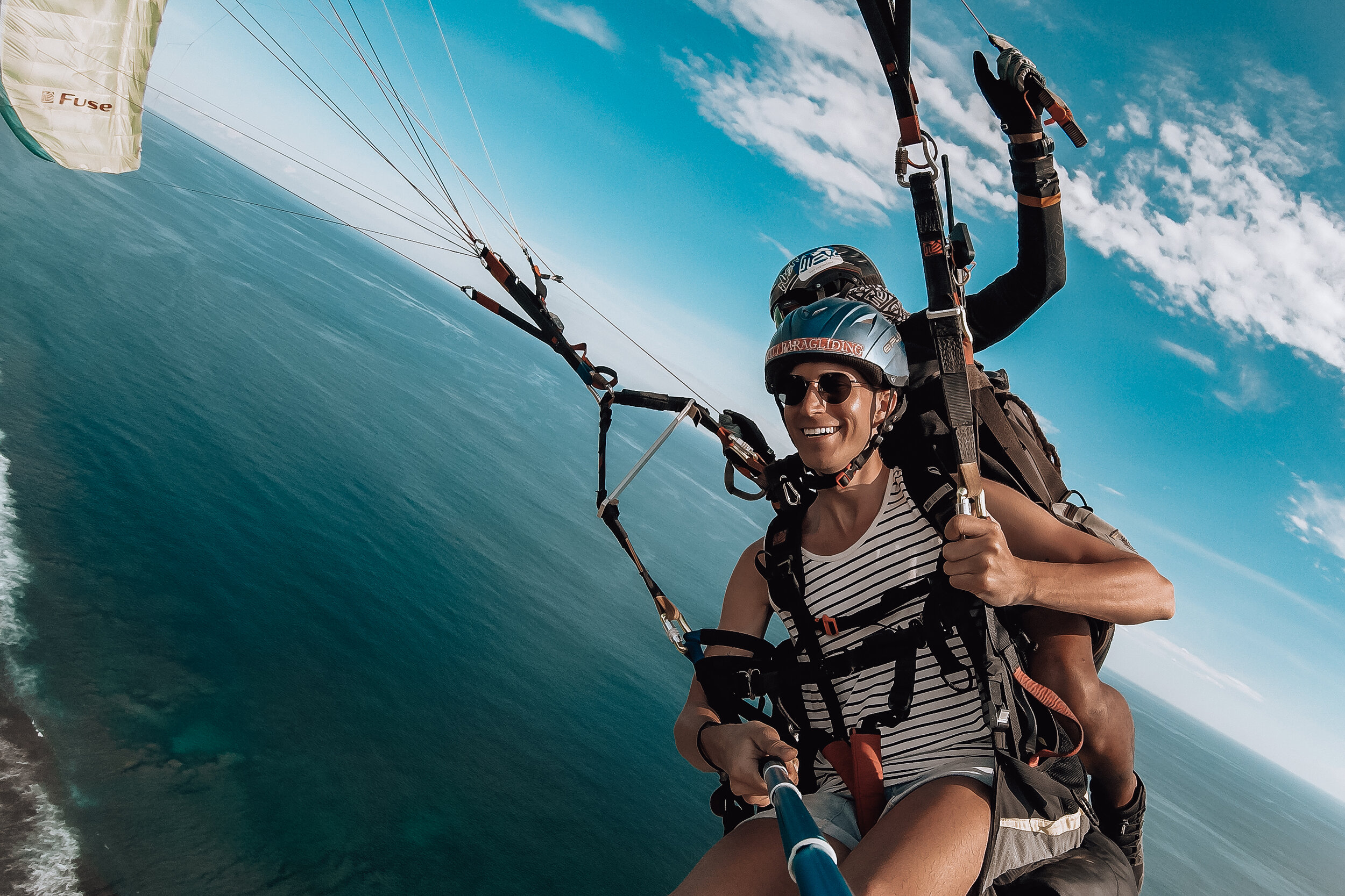
Nyang Nyang Paragliding. The southern winds hitting Nyang Nyang’s cliff make it an ideal spot for paragliding. We took a 20 minute tandem flight that soared several hundred feet above the coast. If the conditions are right, the pilot will perform some aerobatics such as spiraling and spinning the parachute. The cost is 900K Rp ($63.50) including go-pro photos and videos. Be ready to go as soon as you arrive. It was a little terrifying but within minutes, we were strapped in and lifted into the air. Opposite of this, you may have to wait if the winds are too weak.
Good to Know
Currency & Pricing
You can easily be a millionaire in Bali. 1,000,000 Rp converts to about $71 USD.
Money is qualified in the thousands. Many restaurants and businesses will drop the extra zeros on menus and price tags. For instance something costing 56,000 Rp may be listed as 56.
Carry a lot of smaller bills (5K, 10k and 20K) with you for donations and small fees.
Tipping is usually included in the bill under service. Anything extra is not expected.
Many beach clubs have entrance fees to reserve a table which is given back as a credit for food and drinks.
When exchanging cash or cards, use both hands out of respect.
Safety & Awareness
Bali is generally a safe place to travel too.
The biggest dangers in Bali are traffic and natural disasters.
You need to be alert and careful if driving a scooter or crossing a road.
Bali is a volcanic island and prone to earthquakes. The safest thing to do if one happens is to move to an open area. If you’re in a building, move to the center of a street. If you’re hiking or under palm trees, move to a clearing to avoid falling rocks and coconuts. Always cover your head.
After an earthquake, it’s best to leave the beaches and stay alert for tsunami warnings.
Move to higher ground if a tsunami warning is issued. Most areas have coastal evacuation routes.
Be aware of currents and waves while in the water. Most beaches will post warnings.
Language & Phrases
Bahasa Indonesian is the official language in Bali however many people know English.
People will often introduce themselves and bow their head when meeting you. You should reciprocate the response and gesture.
Common greetings we heard, especially from strangers or passersby are:
Hi. Where are you going?
Hi. Where are you from?
These greetings are often said to start conversation.
Common phrases:
Sukseme = Thank You
Sama Sama = You’re Welcome
Selamat Pagi = Good Morning
Selamat Siang = Good Afternoon
Selamat Sore = Good Evening
LGBTQ+
Bali and The Gilis are very LGBTQ+ friendly compared to the rest of Indonesia where being gay is punishable under the nation’s strict laws. Though it’s best to be cautious you likely will not run into any trouble, especially in the more westernized neighborhoods such as Canggu or Seminyak. The latter is home to pockets of LGBTQ+ nightlife and businesses.
If we had more time…
Like we said earlier on, there are near endless things to do and see in Bali. This guide should attest to that ;) Bali is definitely one of those destinations that you’ll want to return too! When we do, these are a number of the things we’re planing to seek out.
Nusa Islands
Full day tour visiting Manta Bay to snorkel and swim with the Manta Rays.
Hiked to Kelingking Beach on Nusa Penida. The beach is famous for its T-rex shaped peninsula and beach during low tide.
Cliff Diving on Nusa Ceningan and Nusa Lembongan
West Bali
Roadtrip - Drive west and explore the coastal and jungle towns
West Bali Park - A largely untouched wildlife refuge and jungle.
The Gilis
Spent more time exploring Gili Air and Gili Meno
Taken a 3 day scuba certification class at one of the diving schools then explored the further out reefs
Bukit Peninsula
Explored more cliffside beaches: Suluban, Balangan and Green Bowl.
Visited Uluwatu Temple, one of Bali’s most sacred. Perched on the island’s southern most cliff, It’s believed the Hindu gods, Brahma, Vishnu, and Shiva become here.
Ubud, Bali
Ubud is the adventurous & cultural heart of Bali. Come for the lush landscape, expansive rice terraces & temples.
Ubud
Ubud is the heart of Bali. It’s a place for all kinds adventurous activities and cultural experiences. The area is defined by its lush jungle landscape, expansive rice terraces and Hindu temples. We spent several days here and could have easily spent weeks exploring and discovering places to visit and see.
Eco Tourism
People in Ubud are physically and spiritually connected to nature. They care for their environment, eat, build and farm sustainably. This couldn’t have been any truer than at the eco-community where we stayed, New Earth Haven. Our accommodation was an eco-dome made from bamboo, canvas and thatched palm leaves. The dome was surrounded by rice fields and elevated from the ground. Separately, it had an outdoor shower and compositing toilet.
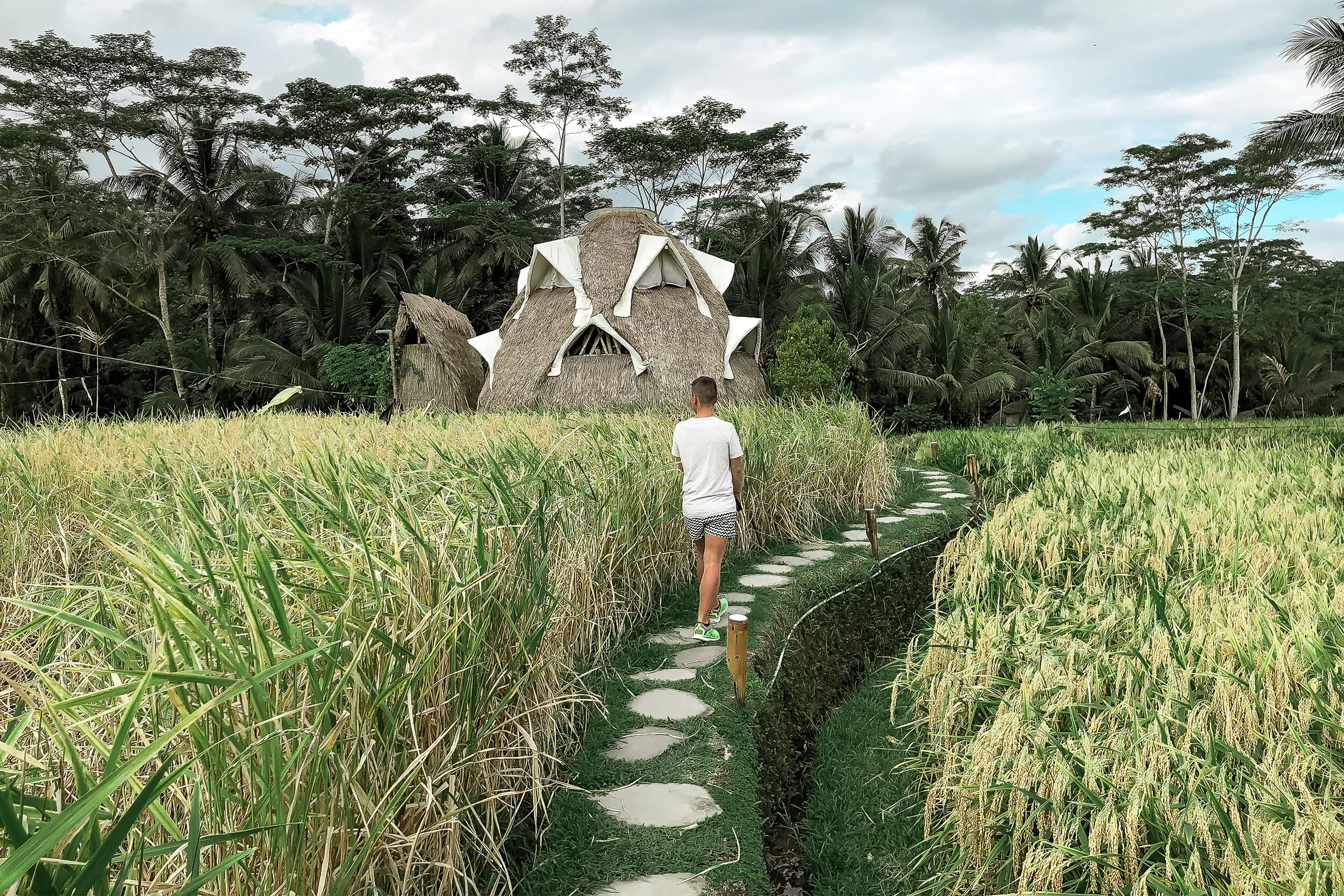
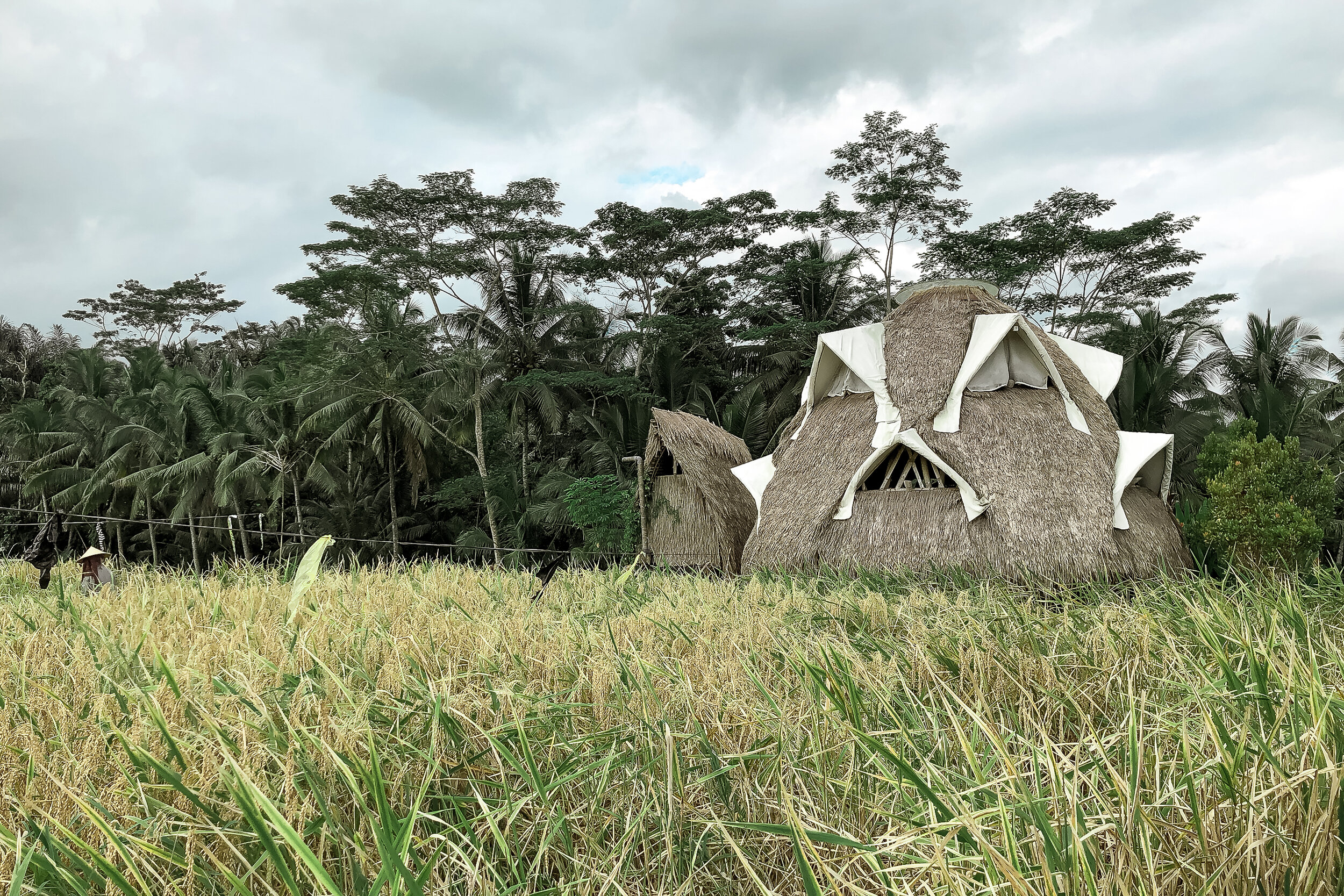
During our stay, we would often wake up to the farmers harvesting rice and herding baby ducks through the harvested plots resulting in natural fertilization. Across the rice fields was Akasha Restaurant. A larger open air bamboo framed restaurant focused on sustainability, vegan cuisine and hosting nightly events and festivals. We enjoyed most of our early morning and late night meals here.
From eco-domes to tree houses or hostels and villas in the rice patties, there are plenty of unique and sustainable places to stay in Ubud.
Getting Around:
Many accommodations in Ubud will help arrange transportation for you, especially to and from other areas of the island. Ubud and the surrounding area is vast and hilly making scooters and taxis the easiest way to get around. We often took Bluebird Taxi, known for its metered service, flat fees and street-side taxi stands.
Things to Do:
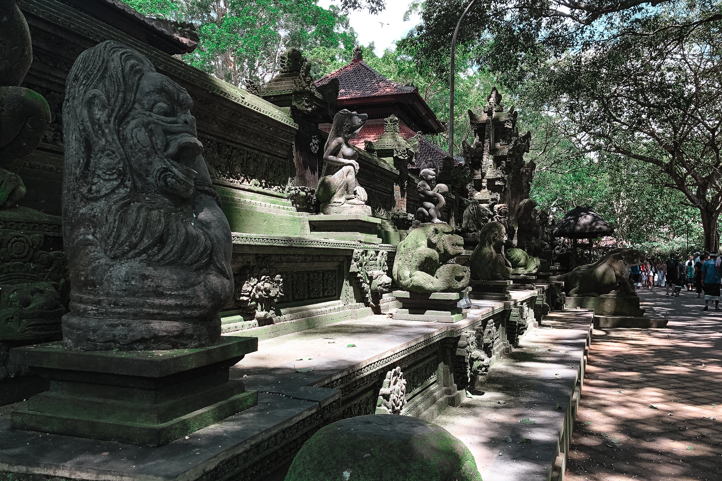
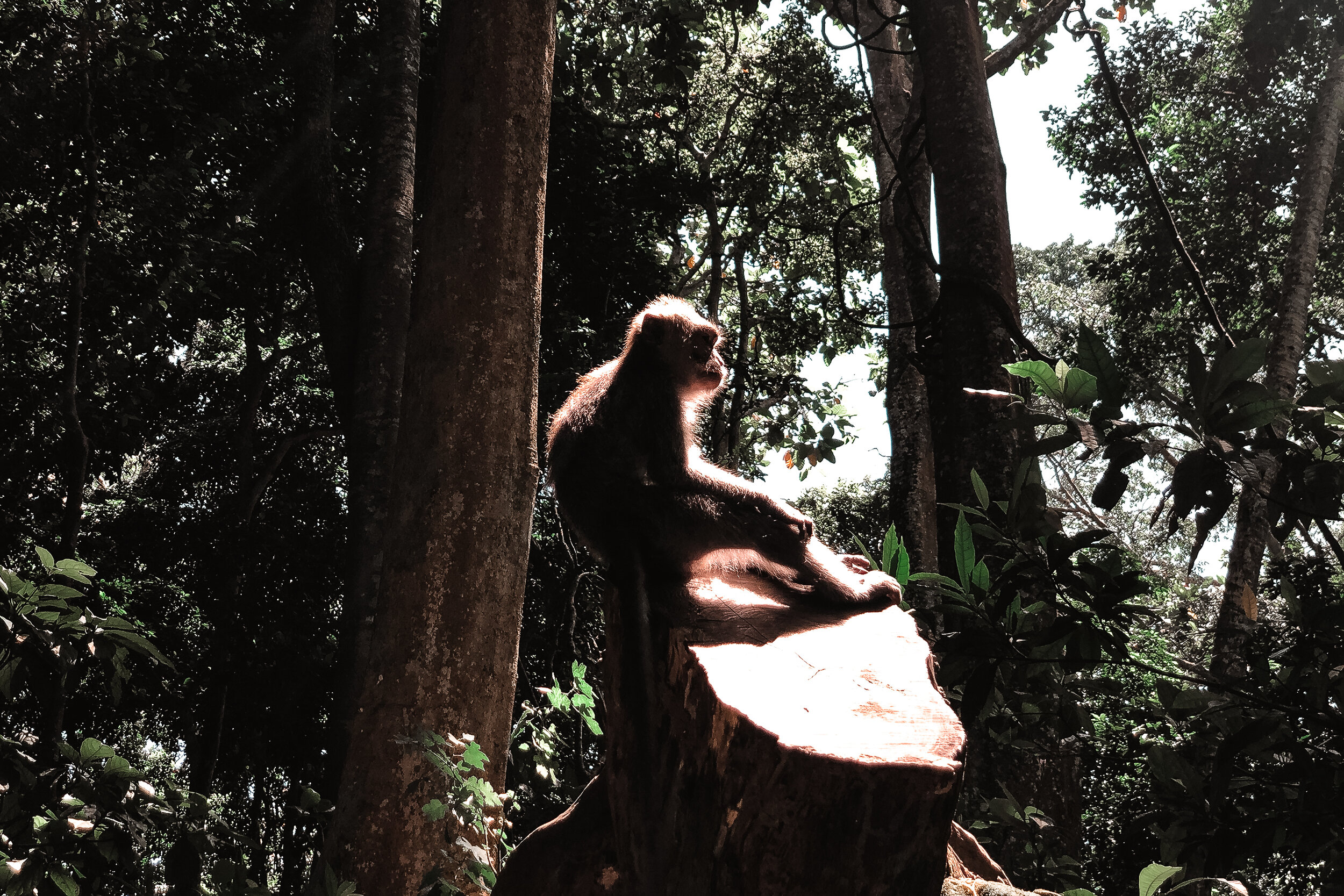
Sacred Monkey Forest:
The forest is covered in massive trees with dangling aerial roots, multiple ancient temples and acts as a sanctuary for hundreds of monkeys. The monkeys are everywhere, climbing in the trees, running across pathways, sitting on benches and making the temples their home. They are playful, mischievous and protective. If you’re not paying attention, one may try and take your phone, bag or hat. We saw this happen! You can truly get an up-close experience with them.
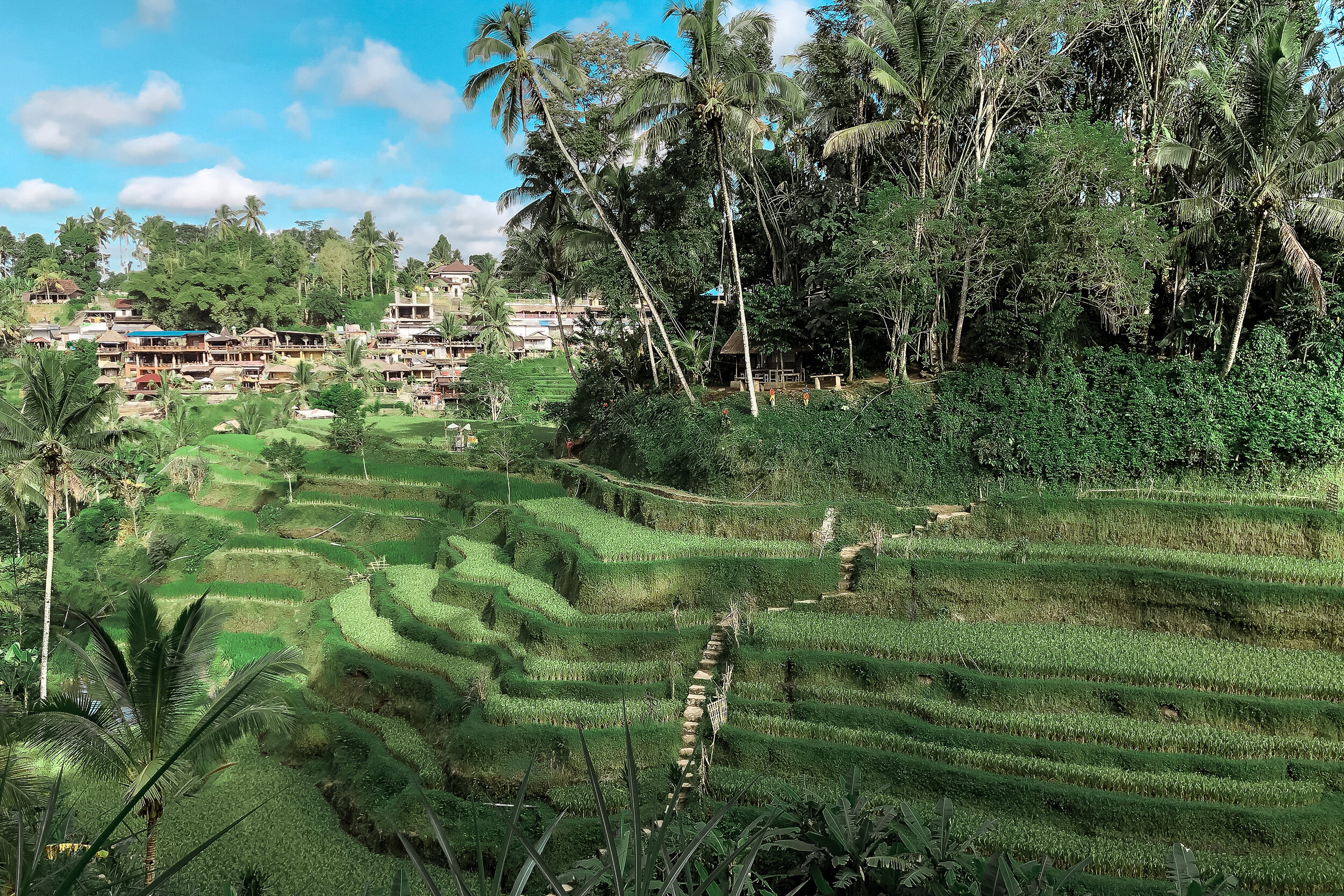
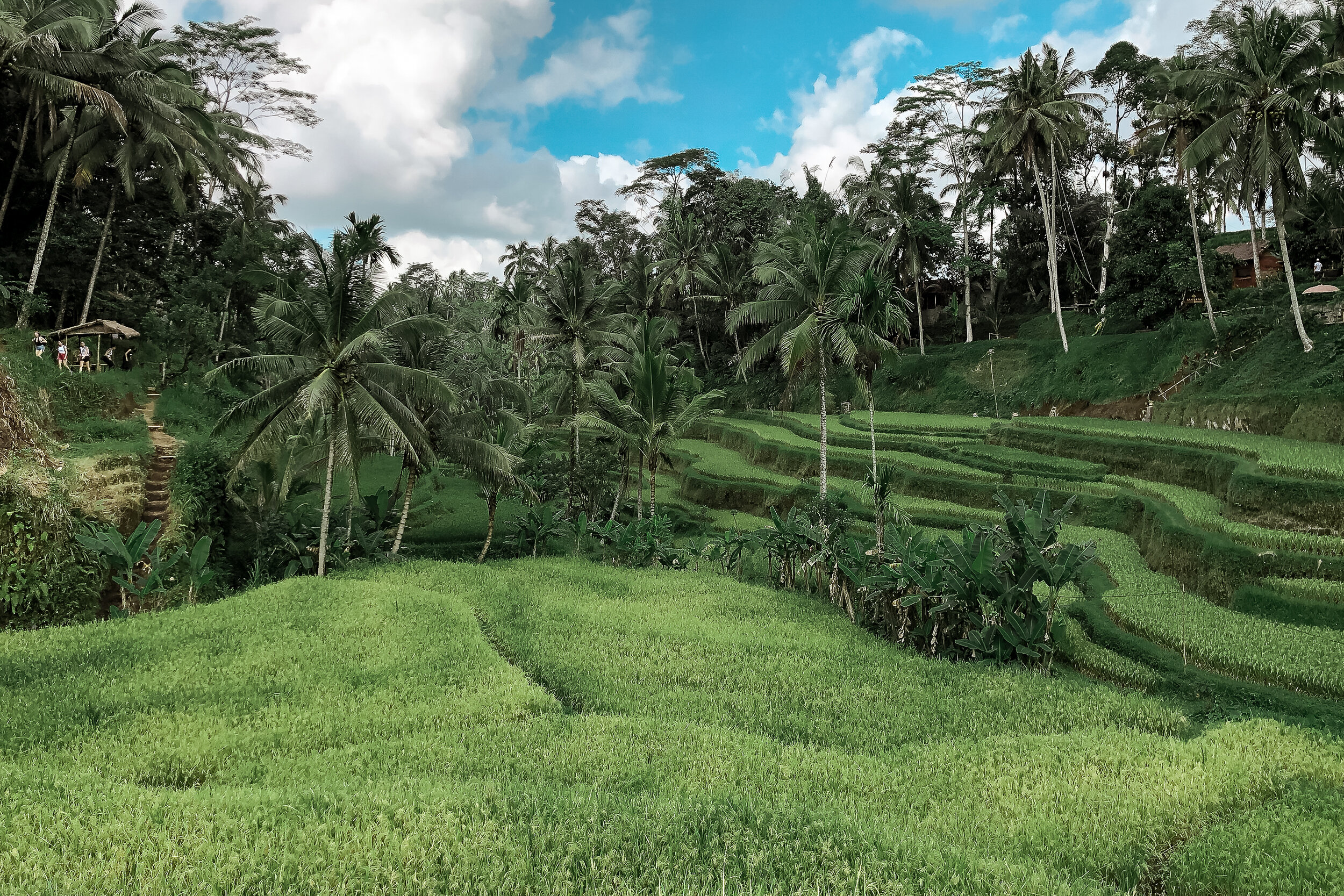
Tegalalang Rice Terraces
The lush, expansive hillside rice terraces were one of our favorite sights to explore in Ubud. We got here at 7am, hours before they filled up with larger numbers of tourists. We stayed until the early afternoon weaving through the vertical expanses and hiking to the furthest corners. At the entrance, there is a hillside village with restaurants, warungs, cafes and hostels overlooking the terraces. Throughout them are zip-lines, jungle swings and farmers stationed at various points who will ask for a small donation to help support their livelihood and maintain the walkways. Its best to donate 5K Rp each time (less than 50 cents).
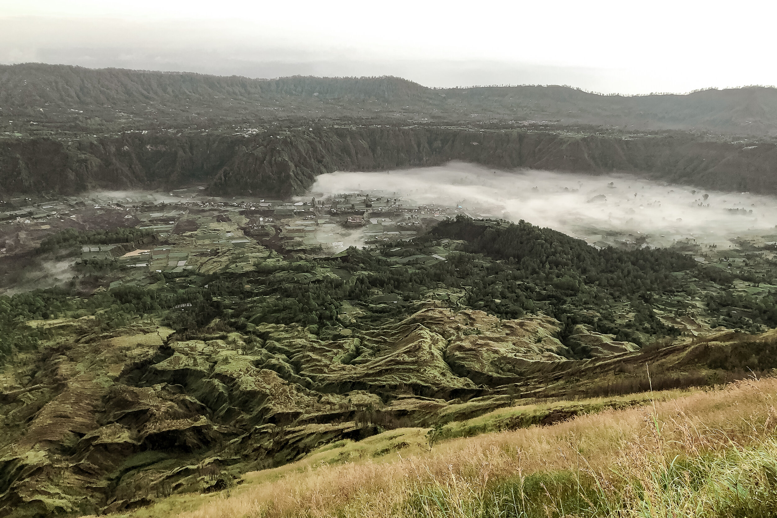
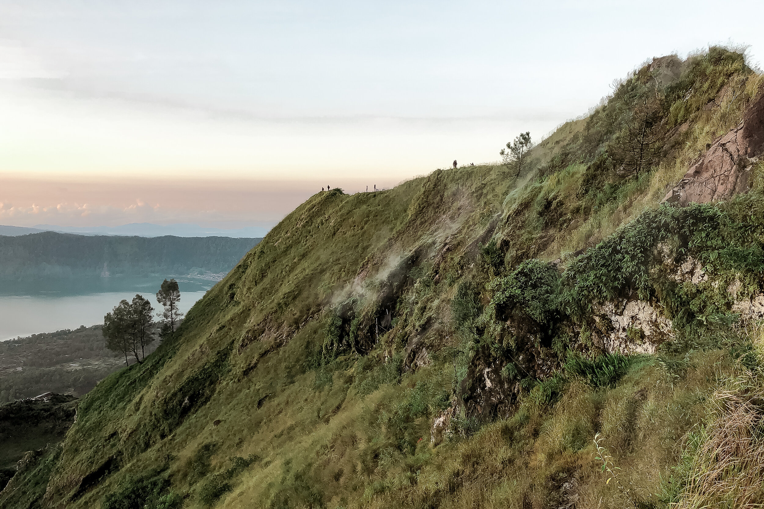
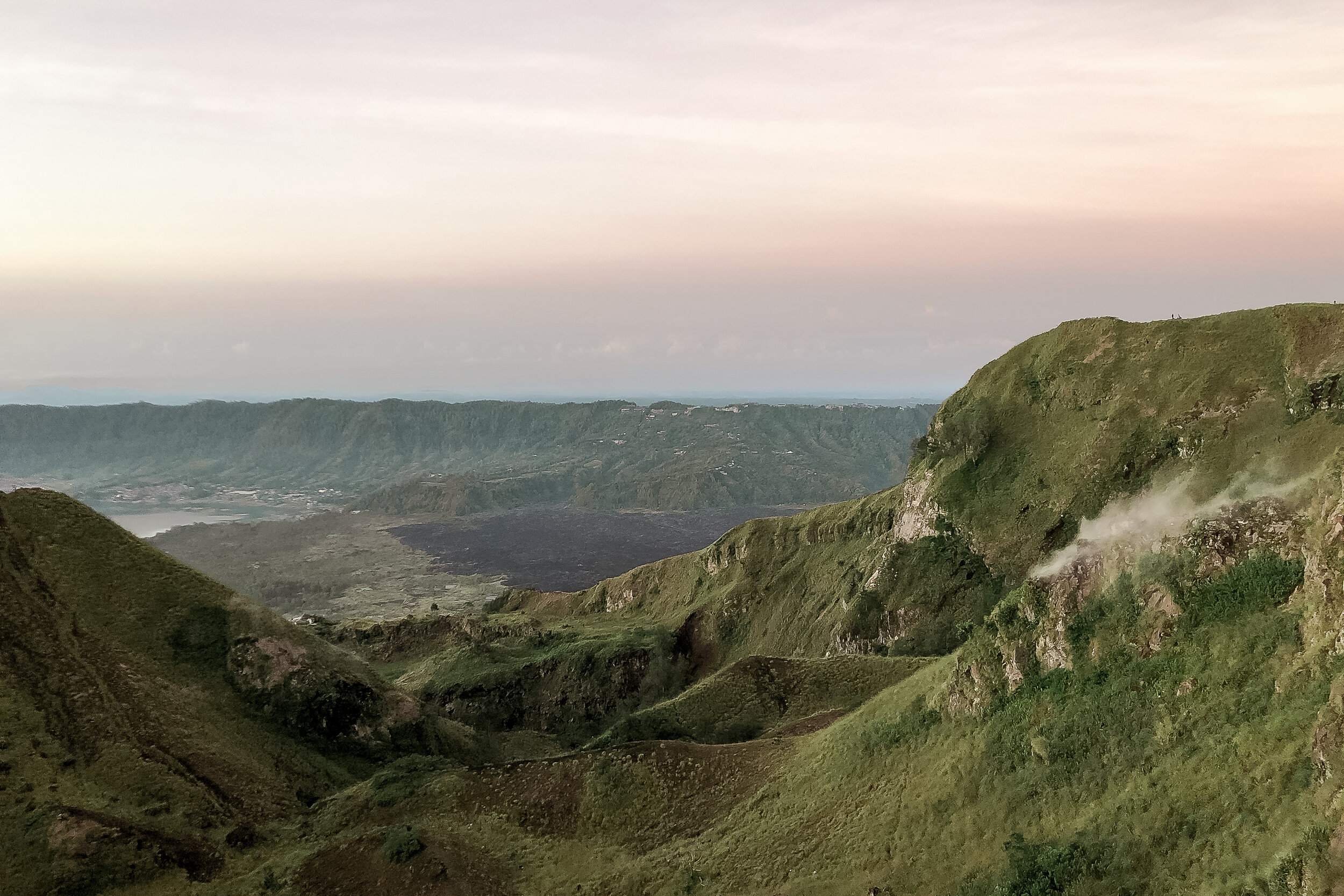
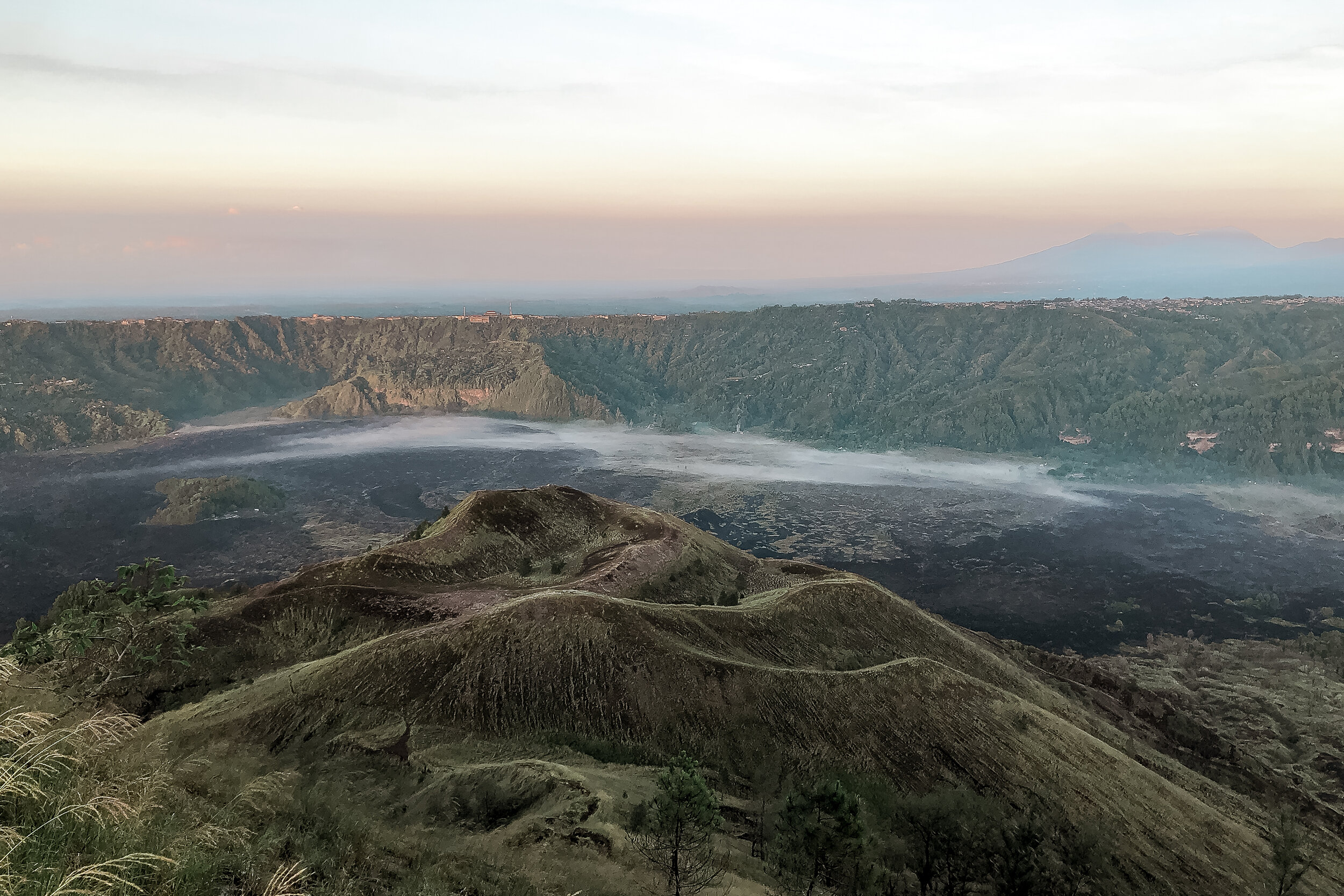
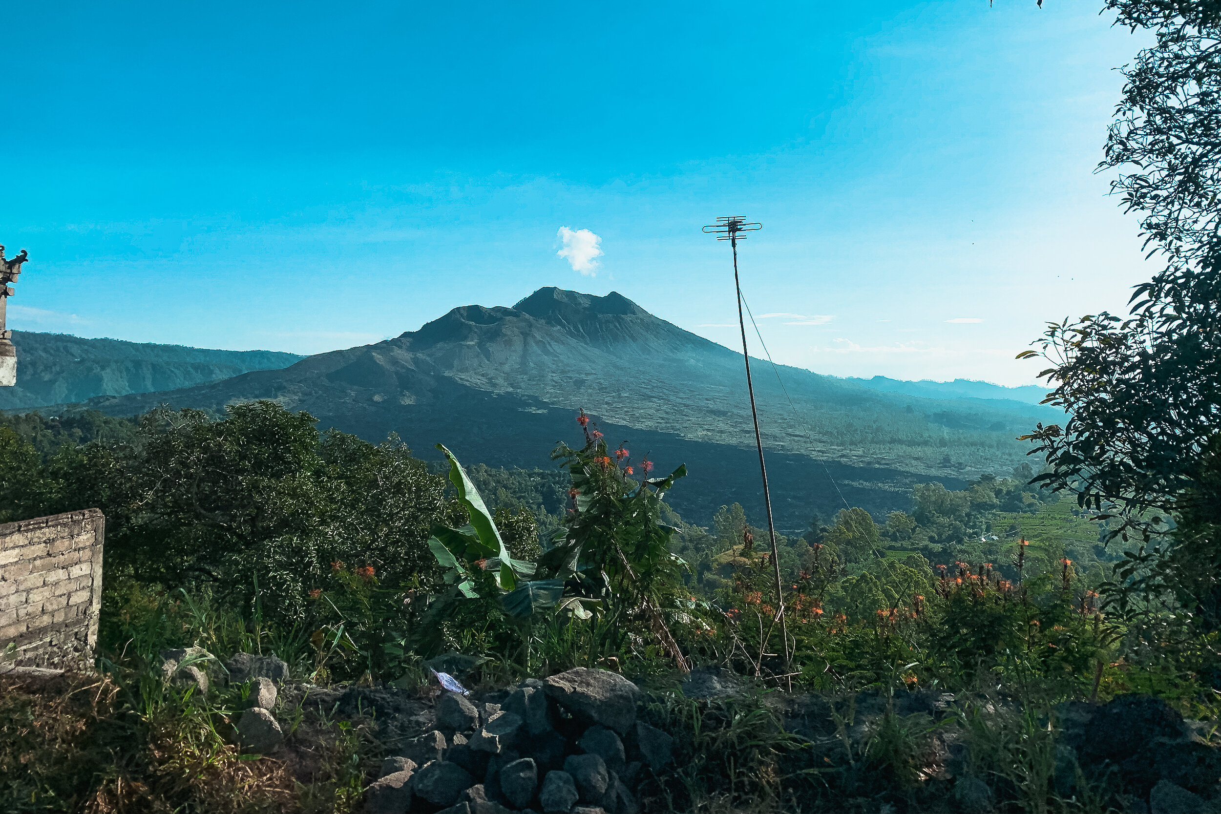
Sunrise Hike to Mt. Batur
Mt. Batur is Bali’s second highest peak and still an active volcano. One of the most adventurous things you can do on the island is hike to its summit and watch the sunrise. Wake up just after midnight and drive to the basecamp of Mt. Batur at Toya Bungkah. There will be hundreds of guides available for hire. Guides generally cost around 500K - 700K Rp for two people ($35-$50 USD)
From the summit, you can see the entire island of Bali and the nearby island of Lombok. There will also be vendors selling hot chocolate, coffee, water and various snacks. As Mt. Batur is still an active volcano, guides will often bring eggs to hard boil in the steam vents. Try one if you can, there’s something special about food cooked by a volcano!
What to Prepare:
Wear good shoes for traction. The pathways are covered in loose stones gravel.
Wear layers. It is colder the higher you hike in elevation but easy to overheat.
Bring a flashlight to see, though this isn’t always needed after your eyes adjust to the darkness (plus you can see the stars)
Bring water, you will get dehydrated as you climb.
Claiming some bragging rights, we were the first visitors to reach the volcano’s summit that morning. A first for our guide, Cynthia, even after years of near daily treks up Mt. Batur.
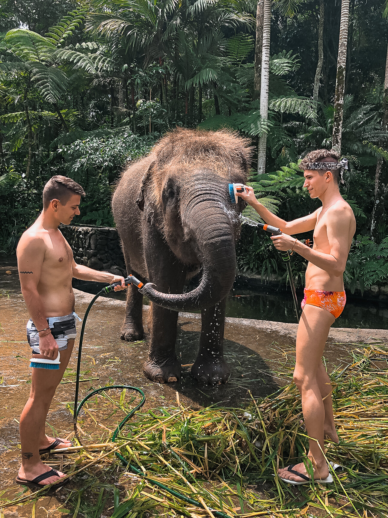
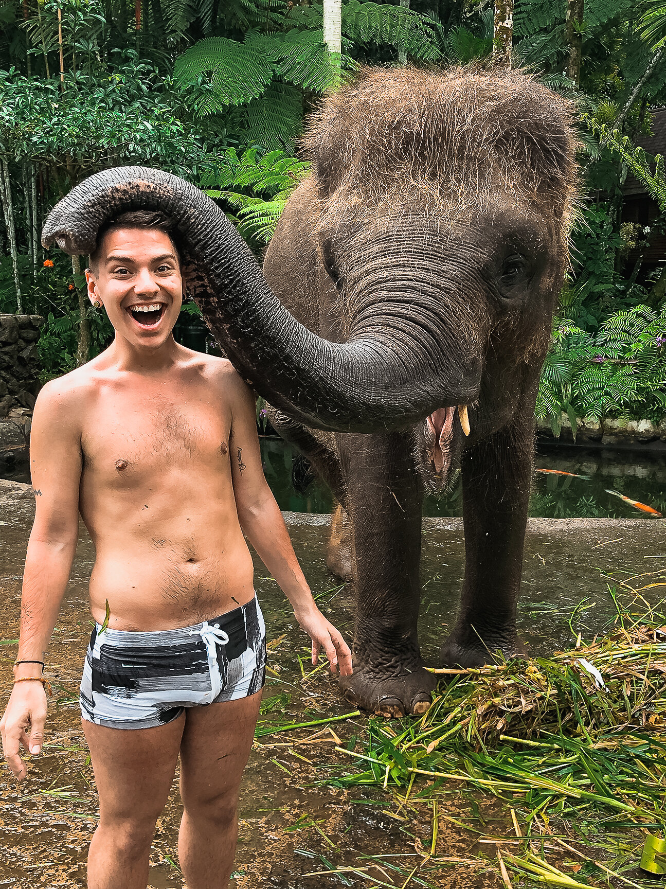
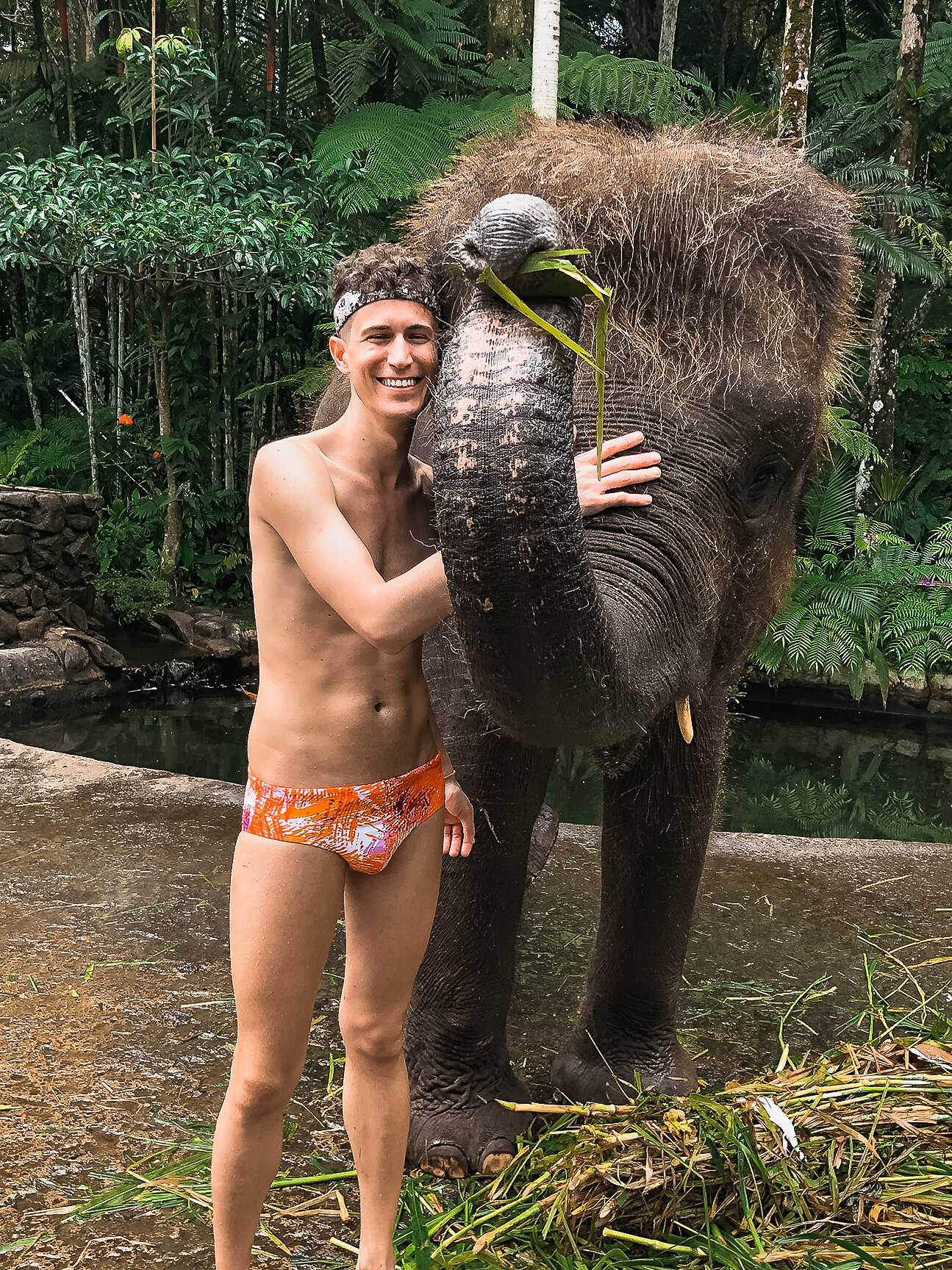
Mason Adventures Elephant Park
We came here to meet, feed and bathe an elephant! After entering the park, you can buy small baskets of produce for 50K Rp ($3.50 USD) to feed the elephants. It’s the cutest feeling as the use their trunks to take the food from your hands! After feeding, we met Risky, the elephant we scrubbed and bathed from trunk to tail. By the end of the experience, we felt like we had made a new friend but also needed a shower ourselves.
Many other visitors came to ride an elephant, something we didn’t ethically agree with and would discourage others from doing. Otherwise, the elephants seemed to be treated humanely, well fed and given space to roam.
Elephants are highly intelligent, creative and social animals. They can even use their trunks to paint. The park has a museum with elephant paintings on display and available for purchase. Needless to say, we now have a painting made by an adolescent elephant named Jegeg hanging in our bedroom.
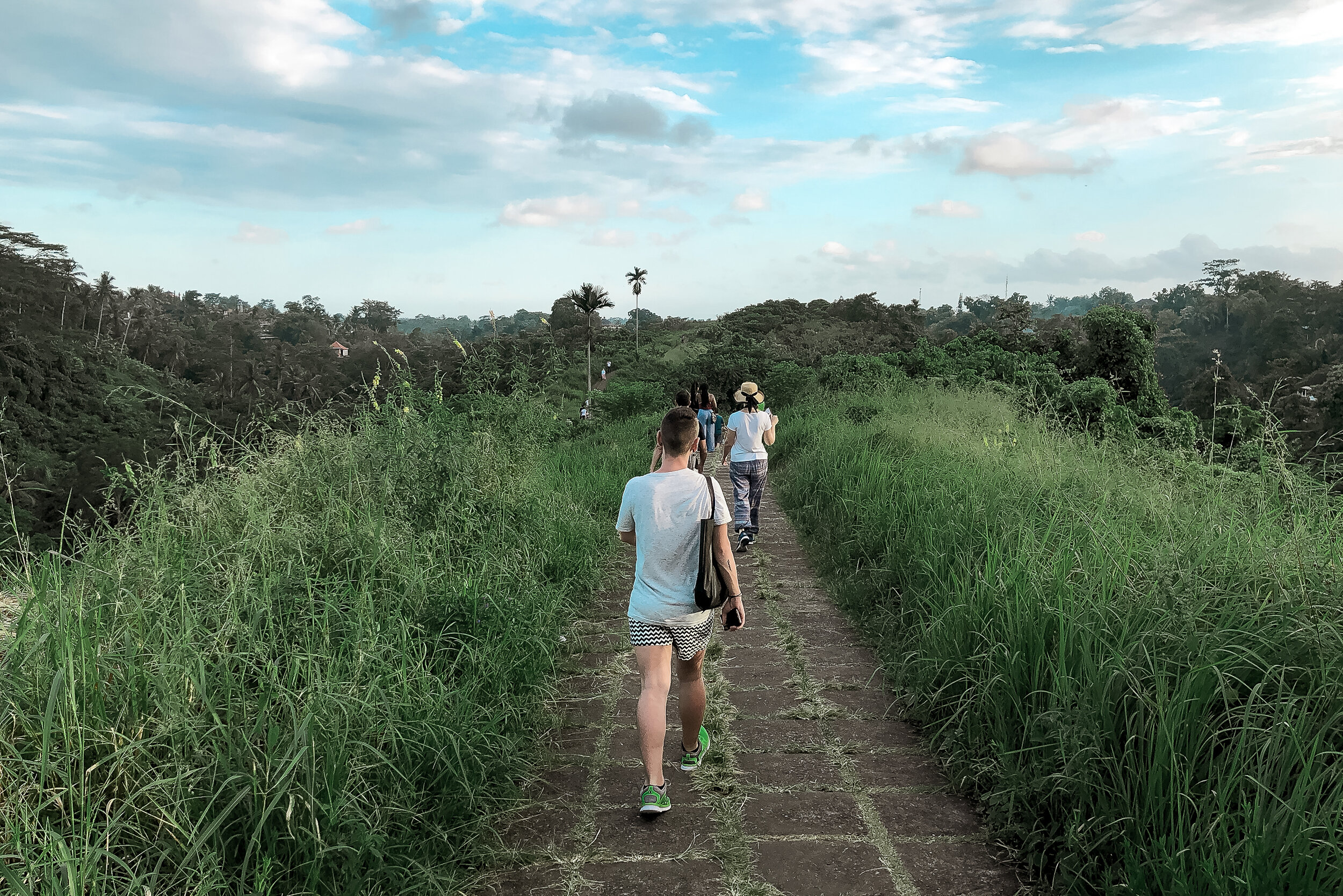
Campuhan Ridge Walk
The walk is an easy, scenic and lush 2km pathway on top of the Campuhan Ridge. To avoid the sun, we walked the path about two hours before sunset ending during golden hour. Enter on the north side, where there are a number of businesses selling fruit, water, Bintangs and massages. End on the south side at the breathtaking ancient Pura Gunung Lebah temple. From there you can walk down Jl Raya Ubud to the city center for dinner.
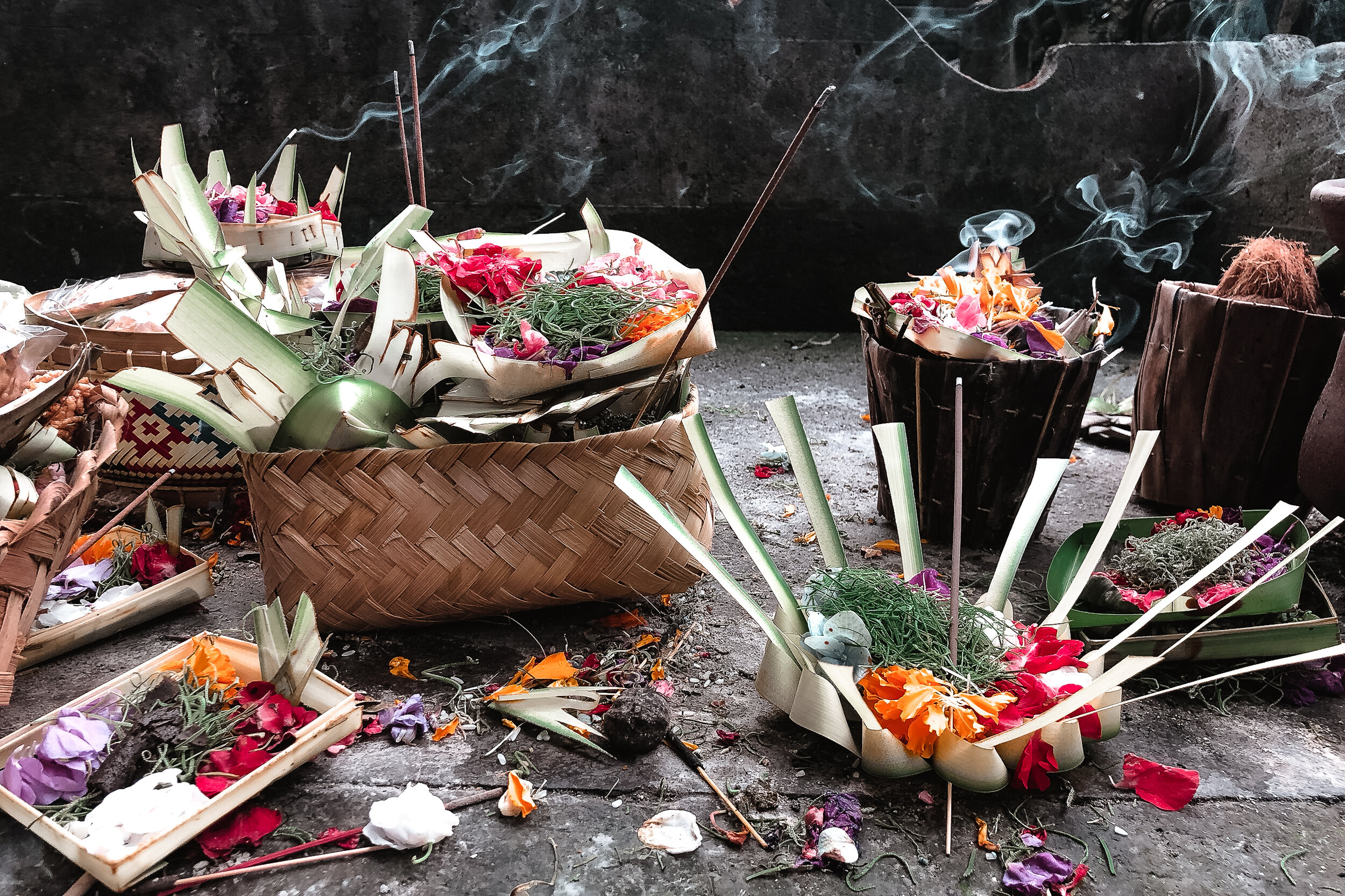
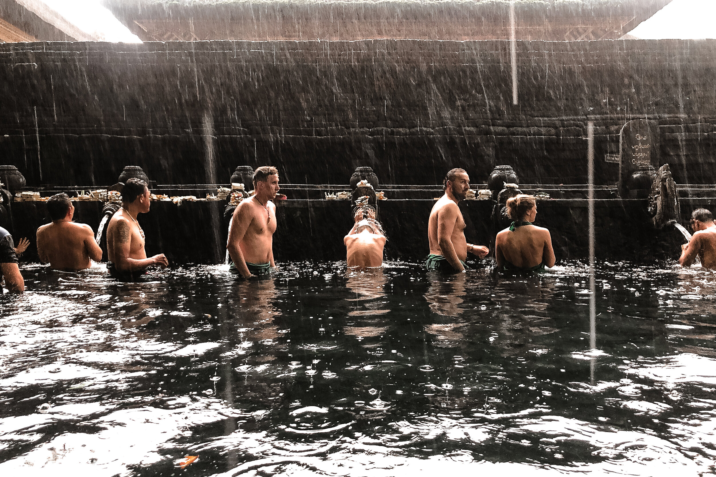
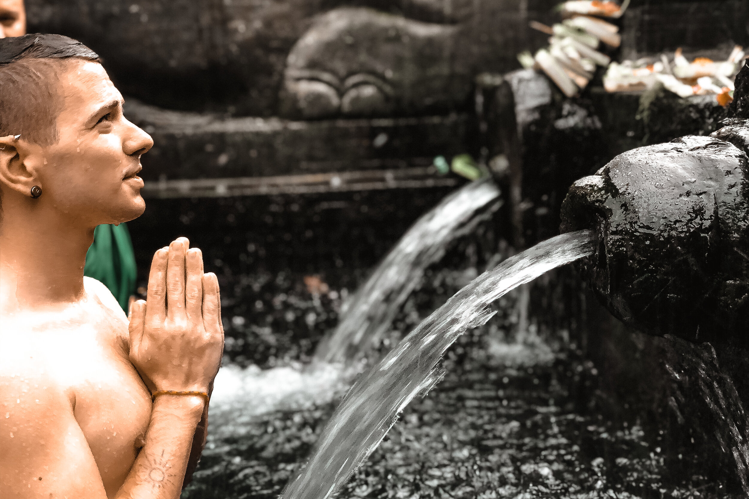
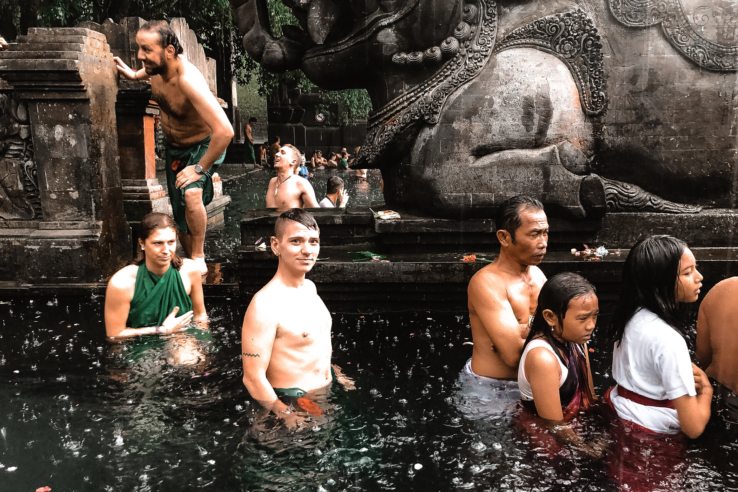
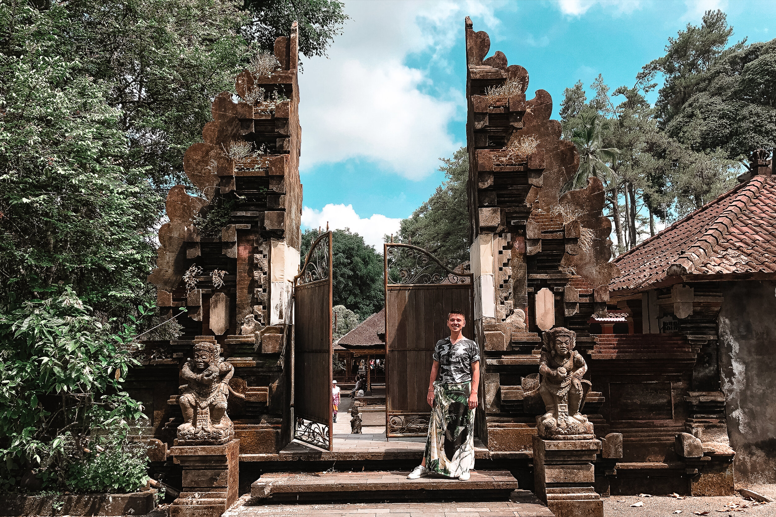
Tirta Empul - Water Temple
A 15th century temple known for its fountains and baths fed by a natural spring. It has a special importance to the Balinese for its purifying and healing waters. The best way to properly use them is to pay a temple guide for a handmade offering and ask them to explain the ritual process and meaning behind it. It’s well worth the experience to step out of your comfort zone, experience and reflect on whatever you’re thankful for.
We visited Bali during the dry season. Coincidentally, while visiting the water temple, a storm rolled in and lasted for the rest of the afternoon. It was the only time it rained during our two week trip.
What to Bring
A Sarong. Like with many temples across Bali, you need a sarong to cover up with before entering. They’re available to rent at Tirta Empul if you don’t have one.
A towel. To dry off with after cleansing in the waters
A lock. To secure your belongings in the lockers.
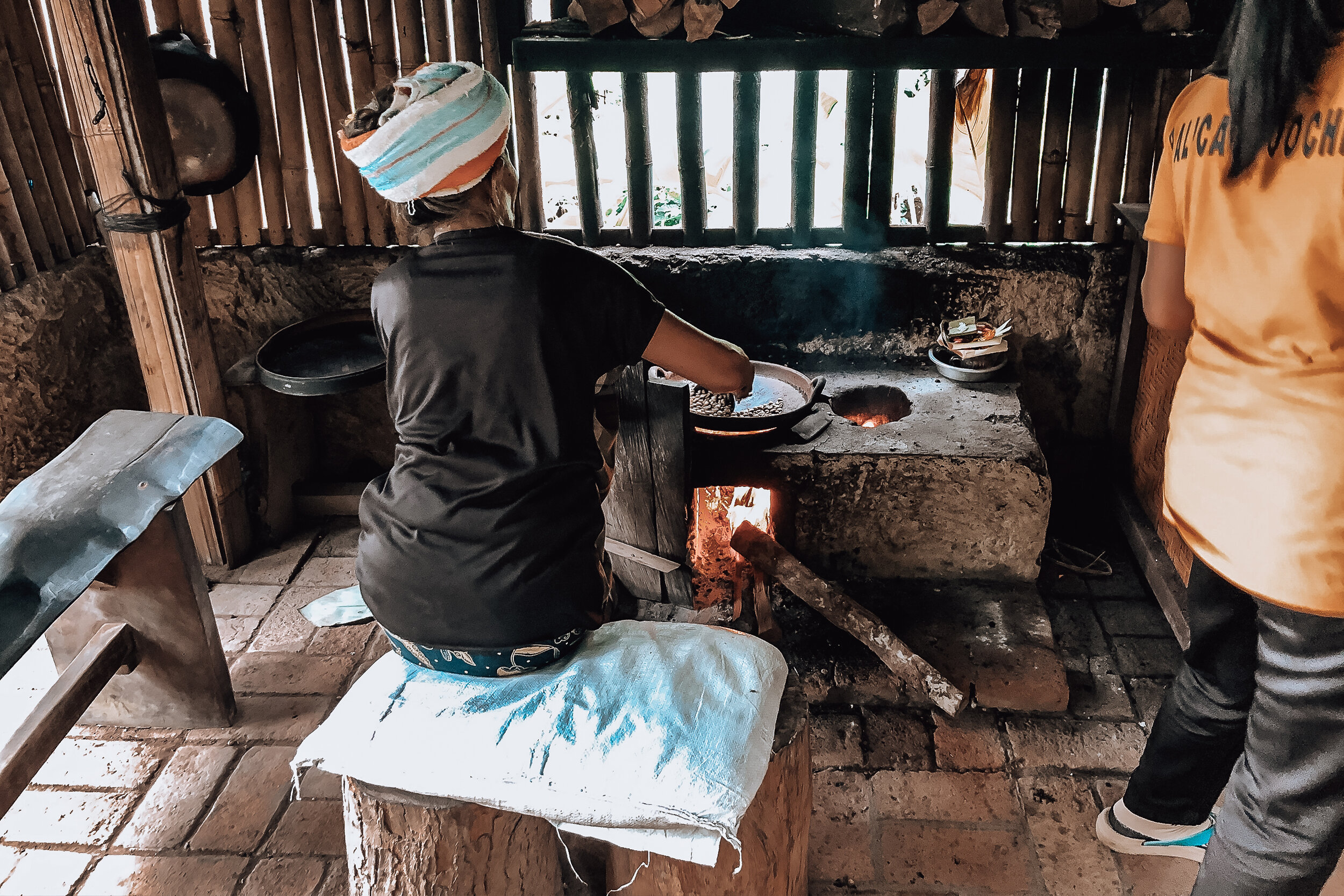
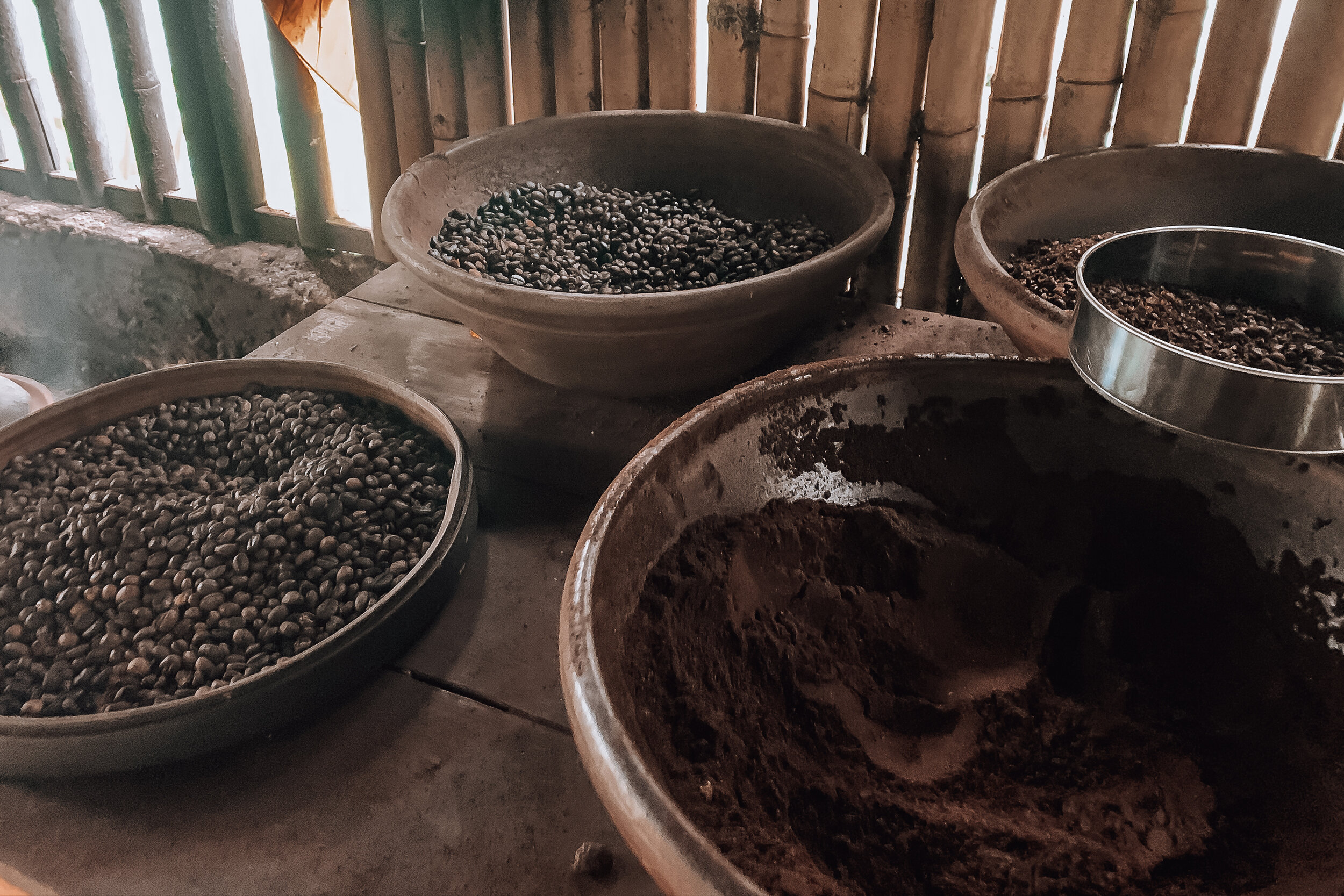
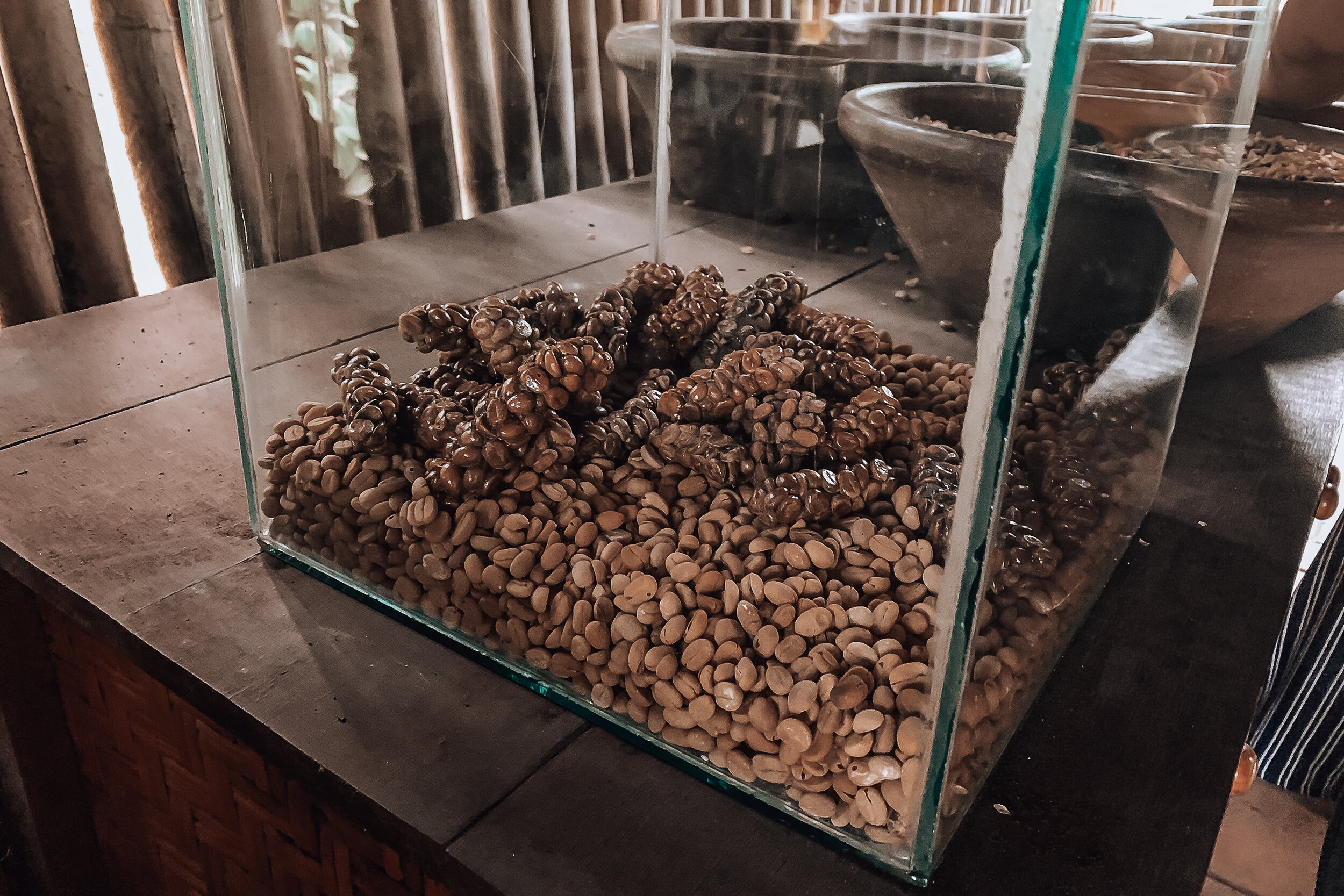
Satria Coffee Plantation
Famous for Luwak Coffee. If you’re unfamiliar, the coffee beans go through quite the process before becoming coffee. The fruits containing the beans are eaten by civets, a nocturnal cat-like mammal. The civets then digest fruit and poop out the beans. The beans are collected and roasted in small batches before being ground and turned into coffee. It’s an unappealing process but does result in a rich, mellow and flavorful brew worth trying at least once.
Museums
There are a number of museums showcasing Balinese art, artifacts, carvings and architecture throughout Ubud. The museums themselves are as much about the grounds and their temples as they are the artwork and artifacts within.
The three most important ones are:
Agung Rai Museum of Art (ARMA)
Museum Puri Lukisan
Neka Art Museum
We visited ARMA during the mid afternoon and were surprised to find the museum mostly to ourselves. We spent a few hours touring the galleries, walking through the grounds and talking with a few artists currently carving sculptures and painting in the gardens.
Restaurants
In Ubud, we learned that it’s customary to remove your shoes before entering most restaurants and business. You’ll often be cued by a row of shoes outside the business before entering. If you’re unsure, do it anyway. Other than Akasha Restaurant nearby our eco-dome and a few street meals, here are a few places we came to eat and drink:
Mudra
A really cute cafe nearby the Monkey Forest offering the most stunning Bali bowls on the island.
Hujan Locale
Slightly higher-end contemporary Indonesian cuisine with colorful and flavorful dishes as well as artisan cocktails. We shared a few appetizers end enjoyed the prawn and crispy whole fish as mains.

Jungle Fish
The best way to describe this place is a beach club in the middle of the jungle. The restaurant has an infinity pool overlooking the lush rainforest and multiple levels. The pool bar offers a selection of small plates and 2 for 1 drinks. We sampled every cocktail on the menu falling in love one wrapped in banana leafs.
Good to Know
Currency & Pricing
You can easily be a millionaire in Bali. 1,000,000 Rp converts to about $71 USD.
Money is qualified in the thousands. Many restaurants and businesses will drop the extra zeros on menus and price tags. For instance something costing 56,000 Rp may be listed as 56.
Carry a lot of smaller bills (5K, 10k and 20K) with you for donations and small fees.
Tipping is usually included in the bill under service. Anything extra is not expected.
When exchanging cash or cards, use both hands out of respect.
Safety & Awareness
Bali is generally a safe place to travel too.
The biggest dangers in Bali are traffic and natural disasters.
You need to be alert and careful if driving a scooter or crossing a road.
Bali is a volcanic island and prone to earthquakes. The safest thing to do if one happens is to move to an open area. If you’re in a building, move to the center of a street. If you’re hiking or under palm trees, move to a clearing to avoid falling rocks and coconuts. Always cover your head.
Language & Phrases
Bahasa Indonesian is the official language in Bali however many people know English.
People will often introduce themselves and bow their head when meeting you. You should reciprocate the response and gesture.
Common phrases:
Sukseme = Thank You
Sama Sama = You’re Welcome
Selamat Pagi = Good Morning
Selamat Siang = Good Afternoon
Selamat Sore = Good Evening
If we had more time…
Ubud was one of our favorite places in Bali, so much so we dedicated a full guide to it! Though we spent nearly a week here, there is still so much more left to experience. Here are a few of the things we plan to do when we return. Read our Coastal Bali Guide for more things to do and see around the island!
Pura Ulun Danu Bratan. Canoe between the floating water temples on Lake Bratan
Pura Taman Saraswati. A palace water temple surrounded by a large lily ponds where the traditional Balinese Legong dance is performed.
Goa Gajah. A 9th century cave temple with extensive carvings. You enter through the mouth of a demon.
Chase Waterfalls. The two main ones in Ubud are Tegenungan & Tibumana Waterfalls.
Canopying. The Tree Top Adventure Park offers courses canopying and zip lining through the tropical jungle.
Arctic Adventure in Tromsø
Tromsø is a hub for Arctic adventures. The surrounding nature & city is a warm & welcoming winter wonderland.
Tromsø, Norway
Tromsø is a breathtaking city in Northern Norway, located about 200 miles north of the Arctic Circle. Our entire stay in Tromsø felt like we were living in a snow globe. The city and surrounding nature is truly a winter wonderland that felt warm and vibrant even during the darkest and coldest time of the year. During our stay, we saw the Northern Lights, snowshoed up a mountain overlooking a fjord, fed reindeer and learned about the indigenous Sami culture.
Gateway to the Arctic
Tromsø is considered to be the gateway to the Arctic. Its proximity to the Norwegian Sea and temperate climate for its position so far north have made it an ideal spot for Arctic explorers and expeditions throughout history. Its location under the Aurora Oval makes it a prime place to view the Northern Lights.
Polar Night & The Midnight Sun
For two months, from late November through late January, the sun does not rise above the horizon. During this time of the the year, known as Polar Night, nearly all hours of the day are dark. For a few short hours during the morning, the sky brightens up enough to feel like an extended dawn. The addition of snow makes the landscape feel even brighter as it reflects more natural light.
The opposite is true from late May through late July. During this time of the year, known as the Midnight Sun, the sun never sets below the horizon. It stays bright for all hours of the day however when the sun reaches closest to the horizon, the sky lights up with beautiful colors seen during sunset and sunrise.
The Northern Lights
One of the most popular things to do in Tromsø is watch for the Northern Lights. The city sits directly under the Aurora Oval, the ovular path the Northern Lights appear above Earth’s northern magnetic pole. As a result, if the conditions are right, the Aurora can be seen dancing and swaying above Tromsø during the evening. The best time of the year to see the Aurora in Tromsø is from late September through early April. We visited from late November through early December.




Northern Lights Safari
Though the Aurora can be seen above the city, the best way to see it is by traveling outside of Tromsø to escape from the light pollution. We managed to see the lights above the city one night during our stay but truly got to experience them during a “Northern Lights Safari” with a local guide. Local guides will take you outside the city to a nearby Fjord or as far away as Finland and Sweden to give you the best chance possible of seeing the lights. There are dozens of experienced guides and tour companies offering safaris to chase the Aurora. We booked with a company called Enjoy the Arctic.
We chose them over other companies because they offered smaller tours with a maximum of 8 people. It made for a more intimate and personal night as we waited for the Aurora to appear. We drove an hour outside the city to a fjord called Grøtfjorden where we were able to watch the Aurora dance across the sky nearly the whole evening. We even spotted a few meteors. Our guide helped us take photos, built a fire to keep us warm and provided us with warm drinks and veggie dogs to eat.
Aurora Spotting Tips
It needs to be very dark. Let your eyes adjust.
Keep flashlights pointed down or used red lights.
It needs to be a clear evening, preferably no clouds or haze.
Use an app called Norway Lights to watch the Aurora forecast. It told us what our chances were of seeing the Aurora based on our location and the time of night:
The human eye has a difficult time taking in enough light at night to recognize the Aurora’s true colors like cameras do. With your naked eye, it will appear mostly pale green or dark purple with the occasional flair of neon. Regardless of the intensity of its color, the Aurora is truly a sight to be see.
Any DSLR camera will be able to photograph the Aurora. Our DSLR settings were:
Camera (Nikon D300S)
50mm Lens
Aperture (F1.8)
ISO (1250)
Sutter Speed (2.5)
If you don’t have a DSLR but have an iPhone, you can buy a photography app called Northern Lights. It adjusts your phone’s camera to better photograph the Aurora.
Alway use a tripod to take photos. Your hands will be too shaky to take a clear image.
Dress in warm layers! It is going to be very cold and windy.
Sami Culture & Reindeer
The Sami People are a semi-nomadic nation spread throughout Scandinavia with a tradition based in reindeer herding. For thousands of years, they have established a livelihood using the reindeer for meat, fur and transportation. While in Tromsø, we booked an experience with Tromsø Arctic Reindeer, operated by a tour company and family of Sami people to promote their culture, share their stories and offer close experiences with their herd of reindeer.

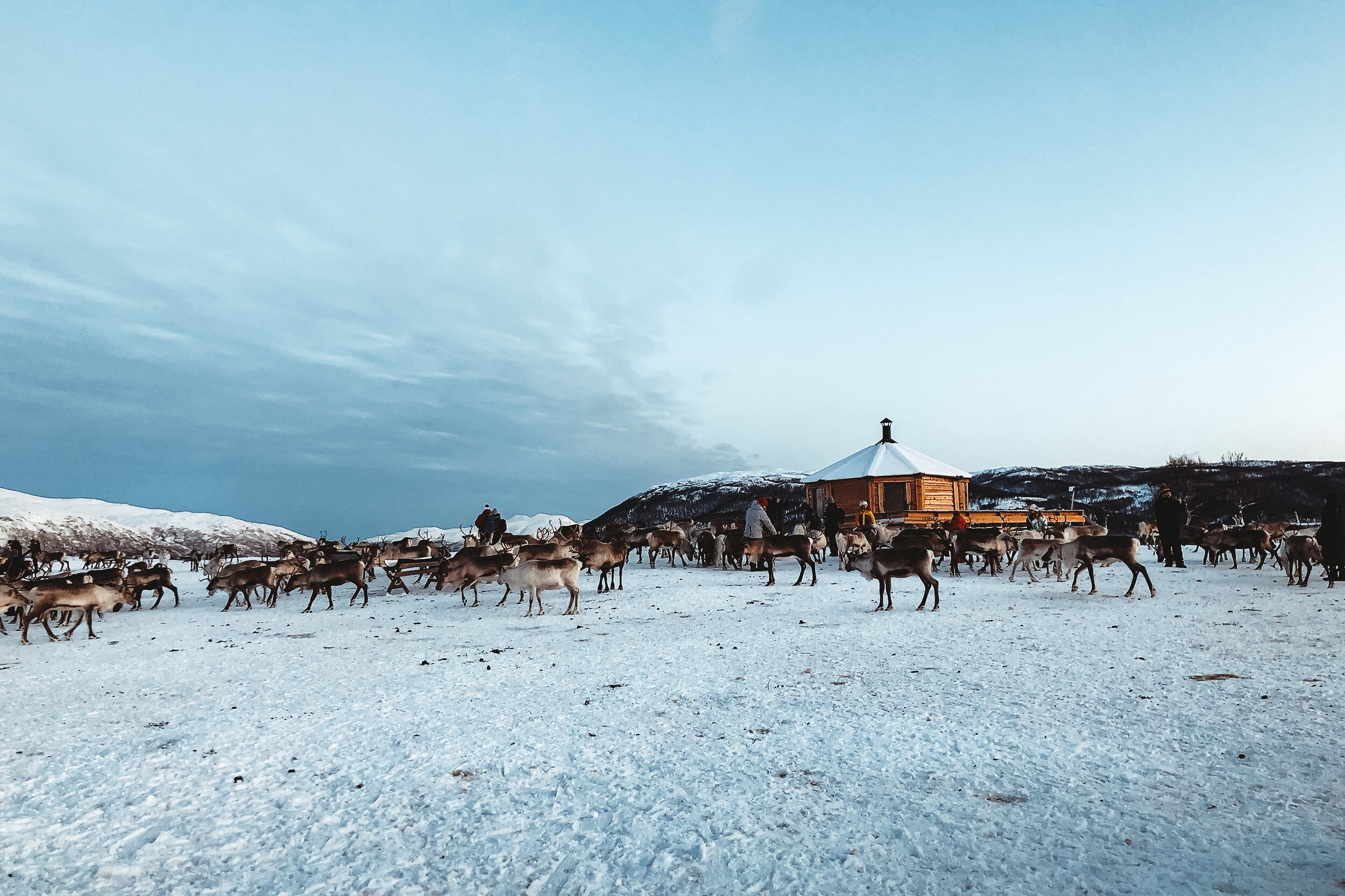
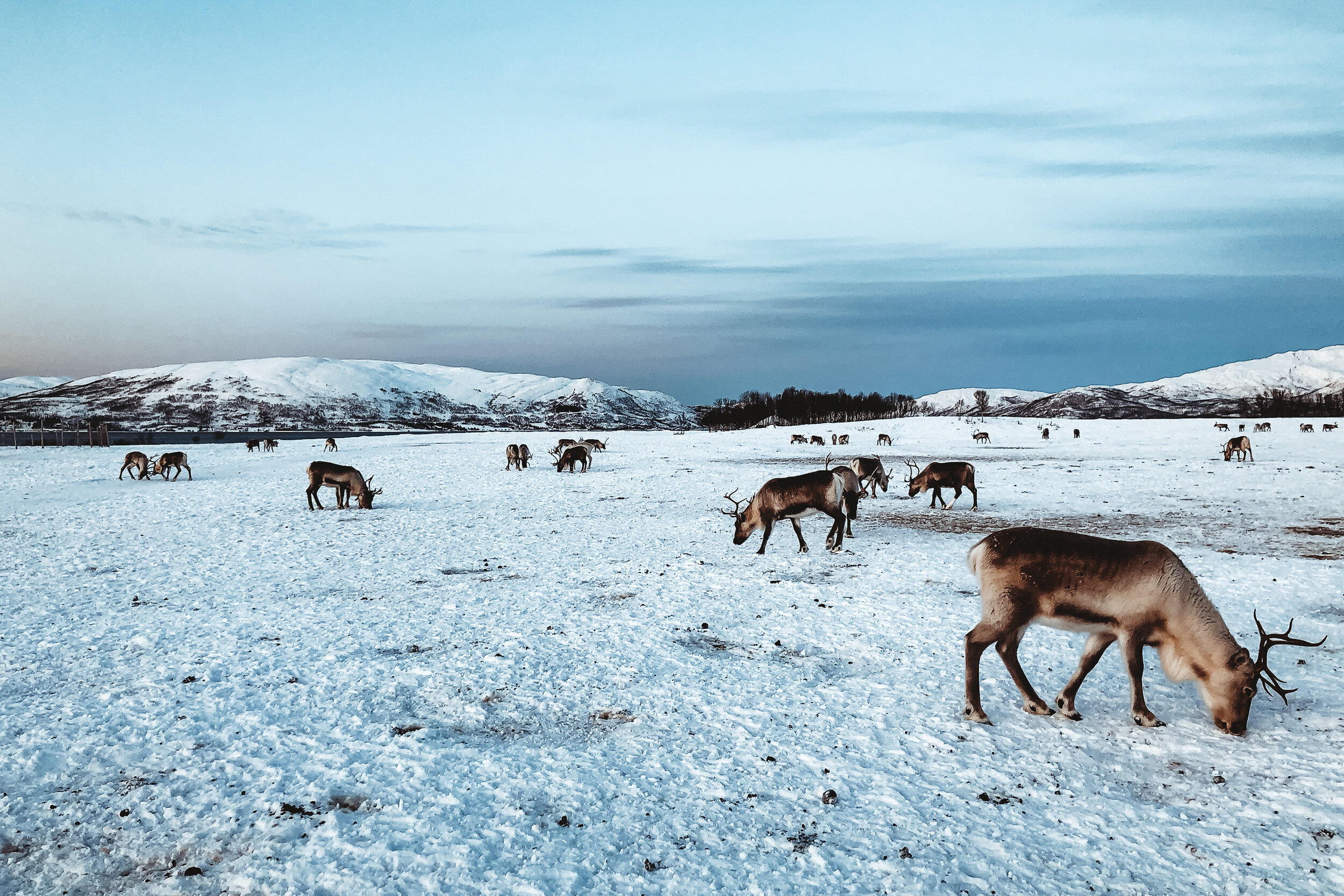

Sled Ride
To make it better, we then took a 30 minute sled ride. Guided by two Sami people, the reindeer slowly escorted us around their pasture. We were a little apprehensive about a sled ride at first but we quickly realized how well treated the animals were. They went at their own pace and didn’t seem tired or overworked in the slightest. The family genuinely showed care and love for the reindeer that they’ve herded for generations.
Reindeer Feeding
After our sled ride, we were able to feed them buckets of food (no, not the glitter and oats you toss outside for Santa’s reindeer) but hearty pellets of grain. They typically graze on the grass beneath the snow but once the snow is too packed down for them to break through they feed on pellets or relocate to a new field. The reindeer, still wild animals, were very excited for the food. They were gentle however at times one would nudge you for attention then burry their face into the bucket. It was amazing getting to be so up close and personal with these animals. Everyone, from children to their grandparents, had a memorable time interacting with the reindeer.
Sami Culture
After feeding them we went inside one of the tents where the family’s mother greeted us with hot coffee and cookies around a wood burning stove. We spent time here warming up before heading to a communal tent for dinner. Many people enjoyed the reindeer stew however we stuck to the vegetarian option. After dinner, we moved to a different tent, called a lavvu, known for communal gatherings and ceremonies. We sat around a log fire listening to the camp owner and multiple reindeer herders talk about their life and the Sami Culture.
They explained the purpose of the traditional clothing and items they carry, many of which were handmade from reindeer. They sung songs, called a joik, which is a traditional form of music sung to someone or something of importance in their lives. The eldest herder told us how he sings for the reindeer and to scare away predators. It was truly a one of a kind and educational experience getting to hear stories from the Sami people and feed their herd.
Snowshoeing & Fjord Tour
While in Tromsø, we wanted to take advantage of the incredible landscape and scenery of Northern Norway. The snow-covered mountain peaks and dramatic fjords were top of mind. We booked a snowshoeing excursion with another local guide company called Northern Horizon. They provided us with transport, an experienced guide, snowshoes, poles and a meal during our trip.
The Assent
Our guide took us and three others to a small town along the Norwegian Sea called Tromvik. The drive from Tromsø took a little over an hour and passed through, Grøtfjorden, the same fjord we watched the Northern Lights from. It was a beautifully scenic drive with remarkable fjord views.
From there, we drove further into the hillside before parking and ascending the mountain. We spent about 2 hours snow-shoeing the side of the mountain during the brightest hours of the morning before reaching one of its peaks. From the peak, we could look directly across the fjord at a salmon farm and straight out towards the Norwegian Sea.
Prepare for the Weather
The hike wasn’t too difficult but it definitely helped having an experienced guide leading the way, watching out for icy crevices and incoming weather. The climate would change frequently. At times, the temperature would drop several degrees or a blizzard would roll in. This was especially true, the higher we climbed in elevation.
Norwegian Salmon
The decent down the mountain side took about 30 minutes. By the time we reached the car, it was nearly dark again. On our way back to Tromsø we stopped in a town called Kvaløysletta to visit Eide Handel AS, a grocery store with a deli counter displaying all types of Norwegian Salmon. They offered dozens of samples, which we tried, before buying a packaged smoked filet to bring home.
Sights & Museums
The Arctic Cathedral. Tromsø’s most recognized site is an Arctic architectural beauty. The modern cathedral, built in 1965, is inspired by the serene arctic landscape surrounding it. The 11 triangles that form its shape are reminiscent of snowy mountain peaks. The pews inside are made from local pine and cushioned in reindeer leather.
Tromsøbura. The 1km bridge connecting the island of Tromsøya, where most of Tromsø is located, to the adjacent island. The bridge has a pedestrian path which can be walked across in 15 minutes.
Fjellheisen (Tromsø Cable Car) Atop of the mountain across from the island of Tromsøya is an incredible lookout that offers views of the entire city and beyond. This is where we saw the Aurora on our first night. The view is accessible via a cable car or a series of 1,300 mountainside stairs. We took the cable car, however if you opt for the stairs and its snowy, make sure to wear spikes on your boots to prevent slipping and falling.
Storgata. The downtown Main Street lined with many restaurants, hotels, bars, cafes and shops.
Waterfront Warft. The city center and harbor surrounded by many contemporary buildings.
Skansen. A historic neighborhood located near Tromsøbura on Tromsøya with old painted wooden buildings from the 1850s.
Polaria. A poler aquarium designed to evoke the fractured ice floes seen throughout the Arctic waterways. Each shard of the building is stacked up against one another forming a giantess slanted mass.
The Science Center of Northern Norway. A planetarium with footage of the Aurora captured during a two year period. If we hadn’t seen the Northern Lights, this would have been the best alternative.
Lake Prestvannet. Fairly central on the island, the lake is surrounded by a number of hiking and cross country skiing trails.
Our Favorite Restaurants, Cafes & Bars
Fiskekompaniet. A higher end restaurant specializing in Norwegian seafood, this is where we had one of the best meals during our trip. We started with a creamy fish soup. It was served in a bowl with a delicate pile of smoked salmon and white fish. The server then poured a kettle of creamy broth over the fish filling the bowl. I enjoyed a crusted filet of cod with a side of potatoes and dill. Devin went for a Norwegian staple, Lutefisk. For desert, we shared a plate of cocoa and coffee ice cream.
Dragoy. Located along the waterfront warft. Dragoy is a deli counter that sells and cooks up fresh seafood. We shared cold water prawns with artesian mayonnaise on a large slice of sourdough bread. They’re also known for their fish and chips.
Bardus Bistro. Located inside an old yellow wooden house, this charming restaurant offers a small menu of traditional Norwegian dishes.
Bardus Bar. Located next door to Bardus Bistro, this bar offers the best cocktails in town. It’s great spot to stop before or after dinner next door.
Olhallen. This is the city’s oldest pub and brewery with a selection of nearly 50 different selections of beer.
Raketten. A historic outdoor kiosk offering hot chocolate, mulled wine, reindeer and veggie sausage. Next to the kiosk is a patio with seating and a warm log fire.
Smørtorget. A cafe offering pastries and open face sandwiches. It’s a great spot to have breakfast before setting out on an excursion.
FRØ. An inventive cafe, they make healthy sandwiches from thin waffles and also known for their pistachio cream buns.
Norwegian Food & Drink
Lutefisk. Air-dried white fish that goes through a several day process involving soaking in water and lye to rehydrate the fish. As the fish rehydrates, it looses a portion of its protein becoming slightly gelatinous. The fish is then cooked and served with potatoes and multiple condiments and sides including peas, pickled veggies, brown cheese, melted butter and mustard.
Norwegian Salmon. Caught and farmed in the fjords of Norway, Salmon is prepared and served in many ways. The most common styled is smoked though it is also often fried, boiled or served raw.
Pickled Veggies. Almost every meal we enjoyed was topped with pickled veggies. Carrot, fennel, beed, cucumber and onion were quite common. They added extra flavor and color to each dish.
Lefse. Traditional Norwegian flatbread made with potatoes, flour, butter, and milk.
Buns. A pastry that ranges from sweet rolls, to swirls or knots.
Mulled Wine. Hot spiced wine was very popular. The Norwegian way of making it is by adding a spoon full of chopped nuts and raisins before serving.
Getting Around
Getting to Tromsø. To fly into Tromsø, you’ll likely need to transfer in Oslo. Booking directly through Norwegian Airlines is usually the most convenient and affordable option. Tromsø is about a 2 hour flight from Oslo.
To/From Tromsø Airport. Use Flybussen, the airport express bus. It routinely travels in a loop from the airport to multiple hotels in central Tromsø. It costs roughly $18 for a round trip ticket.
Getting Around Tromsø. The city and surrounding area is walkable, though a bit hilly and icy during the winter. The main street, Storgata, has heated sidewalks that keep snow and ice from freezing. Outside of this, it’s best to be cautious while walking on the snow and ice. We had a few slips ourselves but were layered in enough clothing to keep us from bruising. We noticed that many people wore spikes on their boots for extra traction. Just remember to take them off before entering indoors. One of the cutest things we saw were mother’s pushing their children in strollers with sleds instead of wheels.
Taxi. Taxi’s can be pricy but are convenient when trying to get around outside the Main Street. The two main taxi companies are Tromsø Taxi and Din Taxi. Uber is not yet an option here. This is a general breakdown of cost:
Around Town: $10 - $15 (From downtown to the cable car)
Across Town: $16 - $35 (From the airport to downtown)
Outside of Town: $36 - $60 (From Tromsø to a nearby town)
Getting Outside of Town. Renting a car is the best option to get between Tromsø and anywhere else outside the city. Nearly all excursions will include transportation to and from.
What to Wear
If you’re visiting in the wintertime like we did, you need to dress warm. It is the Arctic after all. You’ll need a base layer, mid layer and outer layer. Tuck your base and mid layers into each other to better hold in heat and prevent wind from getting under your clothes. In addition to layers, we also used thermal toe and hand warmers while we were snowshoeing and watching for the Northern Lights.
Base Layer
Thermal underwear
Thermal long sleeve shirt
Wool socks
Wool gloves
Mid Layer
Jeans or pants
A cute Norwegian sweater (you can buy one in town)
A lightweight quilted jacket (down or down alternative)
More socks (you’ll need to double up)
Outer Layer
Snow pants (mainly for extended periods outdoors)
Winter coat (you’ll want something that will break the wind and truly keep you warm)
More gloves (you’ll need to double up)
A warm scarf and hat
Boots (bring strap on spikes or cleats)
If we had more time…
Vulkana Spa Boat. This boat has a saltwater hot tub, sauna, steam bath and zen lounge with a fireplace. The crew also provides dinner and facilitates cold water plunges in the harbor.
Husky Experience. The are various companies that multiple types of Husky experiences. Some experiences include husky mushing, dog sledding and even cuddling with the cute puppies. Experiences can vary from short 30 minute trips, to hour long excursions and overnight stays watching for the Northern Lights.
company we looking into is Aurora Husky Trekking
Whale Spotting / Fjord Tour. Orcas and Humpbacks are frequently seen in the winter months from November - February while hunting for herring. There is a number tour companies offering boat trips through the fjords and sometimes into the Norwegian Sea. Two of the companies we looked into are Wild Seas and Pukka Travels Rib Boats.
Wild Seas specialized in protecting, researching and observing the whales. They’re an ethical company that will take you on a full day tour using special equipment to listen for whales and observe from a healthy distance.
Pukka Travels offers multiple fjord tours where you can go sightseeing, whale watching and arctic fishing.
Southwest Roadtrip
The Southwest is a playground of incredible rock formations, other worldly deserts and endless highways.
The Southwest
The Southwest is a playground of incredible rock formations, other worldly deserts and endless highways. The region overlaps several states, includes many Native American reservations and is home to some of the country’s most cherished National Parks.
Road Trip
There’s something so freeing and spontaneous about road trips: listening to good music, driving with the windows down, stopping at roadside attractions and drive through meals. With Devin and his brother, Desmond, we booked a one way flight from NY to LA, rented a car once we landed and made the rest up as we went. For about 10 days, we drove though Southern California, into Nevada, Utah and all across Arizona. I even used this trip as an opportunity to roll out the retro vibes with my polaroid camera and fanny pack.
Southern California
Los Angeles
After landing in LA, we drove to where Route 66 meets the Pacific Ocean, Santa Monica, a fitting start to our road trip. We spent the evening walking the pier, listening to the electronic violinists perform and watching the ocean tide roll in. For dinner, we ate at The Lobster, a staple seafood destination overlooking the pier. Here we treated ourselves to some West Coast seafood while drinking a couple rounds of Pacifico before calling it a night.
Randy’s Donuts
The next morning, on our way out of the city, we stoped at the original Randy’s Donuts in Inglewood for breakfast. Randy’s is a landmark donut shop easily recognized by the massive donut resting on top of the bakery. It’s been featured in video games, movies, tv shows and referenced across Hollywood. We ordered a half dozen classic glazed donuts and coffee. Randy’s took it a step further and gifted us another box of artisanal donuts including: fruit loops glazed, apple fritter, sprinkled, blueberry iced and devil’s food. They hardly survived the first day of driving.
Cabazon Dinosaurs
Located just off the highway in Cabazon, CA, these dinosaurs captured our attention and imagination. This roadside attraction, considered to be one of the greatest, features two giant dinos: A pinkish brachiosaurus named Dinny the Dinosaur and a green t-rex named Mr. Rex. We reveled at, walked under, around and even climbed inside both of them.
Palm Springs Wind Mills
We didn’t make it to Palm Springs but along our way to Joshua Tree, we passed a wind farm with thousands of spinning windmills. They’re hard to miss and mesmerizing to watch as you drive by.
Joshua Tree National Park
The park is famous for its namesake, the Joshua Tree. The tree itself is a multi-armed, spike leaved, desert growing plant. They are a fragile and enduring symbol the the Mojave Desert where the park resides, thriving in harsh conditions with little water and persistent sunlight. In addition to the Joshua Tree, the park is home to many species of cacti, nocturnal animals and smoothed rock formations.
Hiking Trails
There are miles of designated trails to hike throughout Joshua Tree. After entering the park through the west entrance, we drove a little ways and began hiking. I still can’t figure out what trail we hiked but I think it was a combination of several. We spent hours hiking through a forest of Joshua Trees, along some large rock formations and through an area with a wash where we saw a few desert tortoises.
Willow’s Hole Trail
During our second day in the park, we hiked to Willow’s Hole. Considered to be one of the more difficult hikes in the park, we began late in the afternoon and ended at sunset to avoid the heat. The hike is mostly flat, stretches over 7 miles round trip and takes about 4 hours at a normal pace. This trail offers a variety of the entire Joshua Tree landscape ending at a desert oasis surrounded by willow trees.
The hike starts off through a flat terrain surrounded by large rock formations, Joshua Trees and all other kinds of cacti and fauna. Along this part of the trail we saw countless whitetail and jackrabbits. The second half of the trail, leading to Willow’s Hole winds through a canyon of incredible cliffs and washes.
The closer we got towards Willow’s Hole, the wetter the path got. We had to climb over large boulders in order to avoid some the larger pools and streams of water. Near one of the pools, we noticed paw prints from a coyote. We eventually made it to the oasis, it was a serene and peaceful spot to stop and relax before making our way back. The hike back was just as beautiful as the way in, we enjoyed the golden glow of the sunset across the terrain before watching the sky show off its colors.


Maps & Park Pass
Pick up a map from one of visitor centers when buying your park pass. The park pass costs $25 per car and is valid for 7 days. Ask a park ranger where to hike. They often give great recommendations based on what you want to do or see. Click here for a map and list of trails.
Set up a free account with All Trails. Their platform offers detailed info on all of the parks routes from info curated by other hikers.
What to Bring
Water
Food/Snacks
Sunblock/A Hat
Flashlight
A Map
Other Sights
Skull Rock. One of the many rounded rock formations in the park. As the name notes, this one is famous for its skull shape.
Pinto Basin Road. This main road winds from the north to south end of the park and takes about an hour to drive. Most Joshua Trees are located in the High Mojave Desert to the north while the Colorado Desert to the south is known for its its cacti patches.
Pinto Basin. A vast swatch of cacti covered desert surrounded by mountains. It’s easily viewed from the Pinto Basin Road.
Chola Cactus Garden. Located midway along Pinto Basin road is this incredible cactus garden filled with Chola cacti. Watch your step along the trail and don’t touch them.
Ocotillo Patch. Located near the south end of Pinto Basin road is an extensive patch of Ocotillo Cacti. These massive cacti grow several feet high and gracefully sway in the wind.
Night Sky. The High Mojave Desert is located far enough from any major cities making light pollution very minimal and offering incredible night sky views.
Where to Stay
There’s no shortage of places to stay around Joshua Tree. The park itself has a few campgrounds. There are many quaint desert resorts, motels and unique Airbnbs outside of the park. We stayed in an Airbnb Airstream about 20 minutes from the park’s west entrance. It
Salvation Mountain
Salvation Mountain is a massive art piece located in the California Desert started by Leonard Knight in the mid 80s. The site is inspired by the scriptural passages with the simple message, “god is love.” Love, in our opinion is the true theme of this place. The mountain is covered in colorful and peaceful imagery of waterfalls, flowers and the yellow brick road centered around the most prominent word, love, situated above a giant heart. The structure is built from a mixture of hay, packed clay and layers of paint. All materials used have either been donated or salvaged.

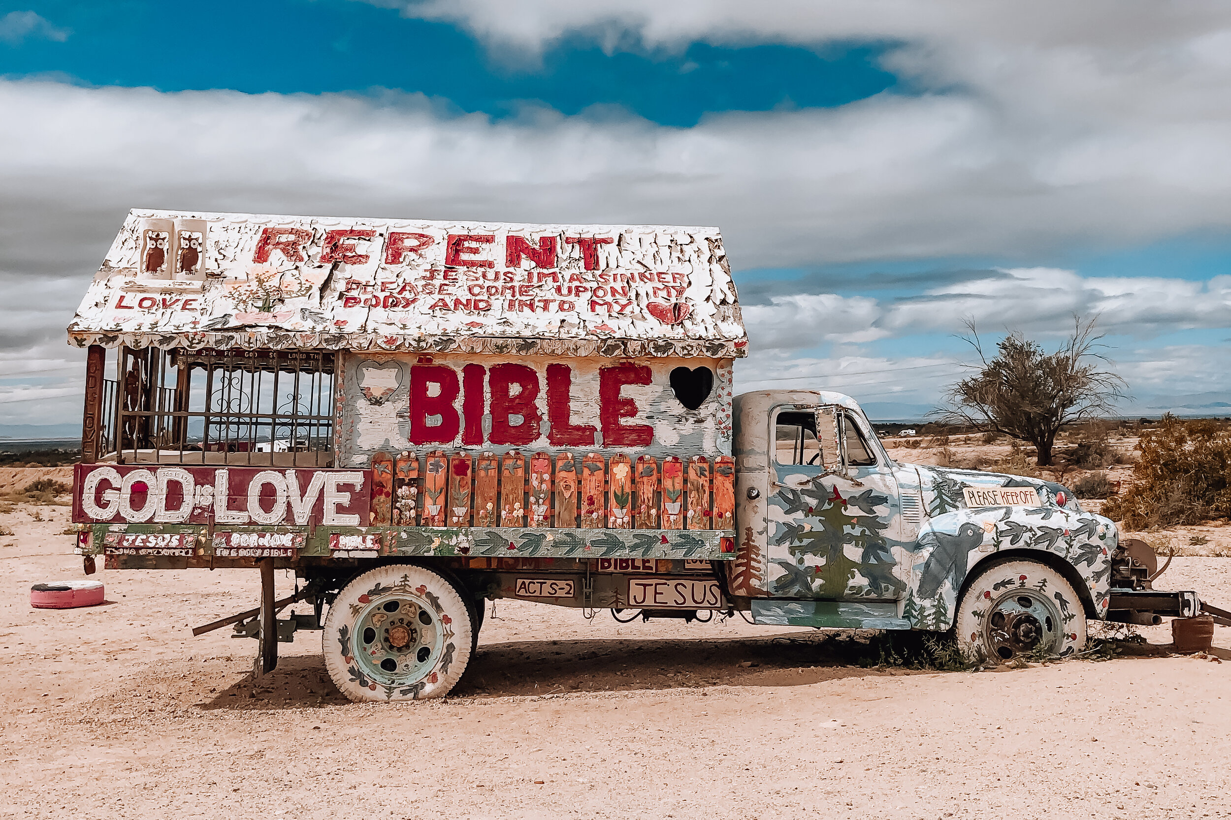
While visiting, we met Ron, the preservationist of Salvation Mountain. He’s leads the repairs and preservation of the massive art piece in line with the artist’s original vision. Ron has been living onsite for several years and mentioned having repaired the entire landmark, area by area, at least twice over since beginning his work here. He reminded us that the desert is a very harsh environment. Something as exposed to the elements as Salvation Mountain requires a massive amount of patience and care.
While we visited, the monument was off limits and only available for viewing. A storm had swept through the area a few days prior causing damage to one of the faces and interior rooms. Ron estimated it might take 6 months to a year to fully repair. Though damaged, this place will never loose its heart. Even from a distance, visiting this place felt special.
Slab City & East Jesus
Located just beyond Salvation Mountain are two off the grid alternative living communities, Slab City and East Jesus. We spent hours wandering, observing and talking with some of the locals to get a better perspective on the places they call home. If you visit Salvation Mountain, you need to come here with an open mind. There is no where else quite like it.
Slab City. This community gets its name from the remnants of concrete slabs left behind after the demolition of a military training camp. The slabs are home to RVs, permanent trailers, make shift buildings and piles of debris. Many of the folks who live here have come to live off the grid while others are here as a result of poverty. There is no electricity, running water, waste management or government. Despite that, there is a certain since of community with its own library, golf course, clubs and music venues.
East Jesus. A sustainable and habitable art installation focused on creative re-use. The experimental community is built from discarded materials and salvaged waste. It’s inhabited by artists, musicians, writers and other creatives.
Salton Sea & Bombay Beach
Our route to Salvation Mountain lead us along a road with countless washes depositing agricultural runoff into the Salton Sea. Curious, we stopped at a state park and walked up to the sea’s edge, only to notice the decomposing remains of fish and dried clay leading up to the shoreline. Further down the road, we drove through the town of Bombay Beach, a once thriving seaside community catering to celebrities, retirees and vacationers during the mid century. The town, now mostly forgotten is a place stunted in its growth but still inhabited by a number of families and artists. We passed a man painting television screens on the street, two children seamlessly sweeping dirt for leisure and a woman sitting alone on a chair in the middle of an empty lot. Many homes have been left behind due to the toxicity of the sea and damage caused by the salinity in the air. A sobering place, the town and the sea has an incredible history that should’t be overlooked or looked down upon.
Northern Arizona
The Grand Canyon
The Grand Canyon is revered as one of the greatest natural sights on earth. Its size at 1 mile deep and up to 18 miles wide, reveals millions of years of layered sediments and colorful rock. After leaving Southern California and heading for Arizona we decided we had to visit. By the time we reached Flagstaff, it had began snowing. As we ascended further into the mountains, the snow turned into a blizzard. Once we reached the South Rim of the Grand Canyon, it was a white out. As we overlooked the canyon, all we could do was laugh, barely able to see a thing. One day, we’ll be back.
Horseshoe Bend
Horseshoe Bend is a 1000 ft steep bend of the the Colorado River in the shape of a horseshoe. It’s an incredibly breathtaking sight and truly awe inspiring. We spent the late afternoon wandering the rim and admiring its beauty. It completely made up for not being able to see the Grand Canyon the day before. Located just off the highway outside of Paige, AZ and accessible by a 1.5 mile hike to the rim. The overlook is open daily from sunrise to sunset for an admission of $10 per car.
Lake Powell & Navajo Canyon
Lake Powell is a manmade lake created by the Glenn Canyon Dam with over 2000 miles of shoreline. We decided to rent a boat for the afternoon from Antelope Point Marina to explore Navajo Canyon. Navajo Canyon is 16 miles long with massive orange and brown cliffs ranging in height on all sides. The canyon is pretty wide but narrows in areas with tiny offshoots speckled throughout. We slowly and carefully explored one of these before pulling out and boating to the end of the Canyon.


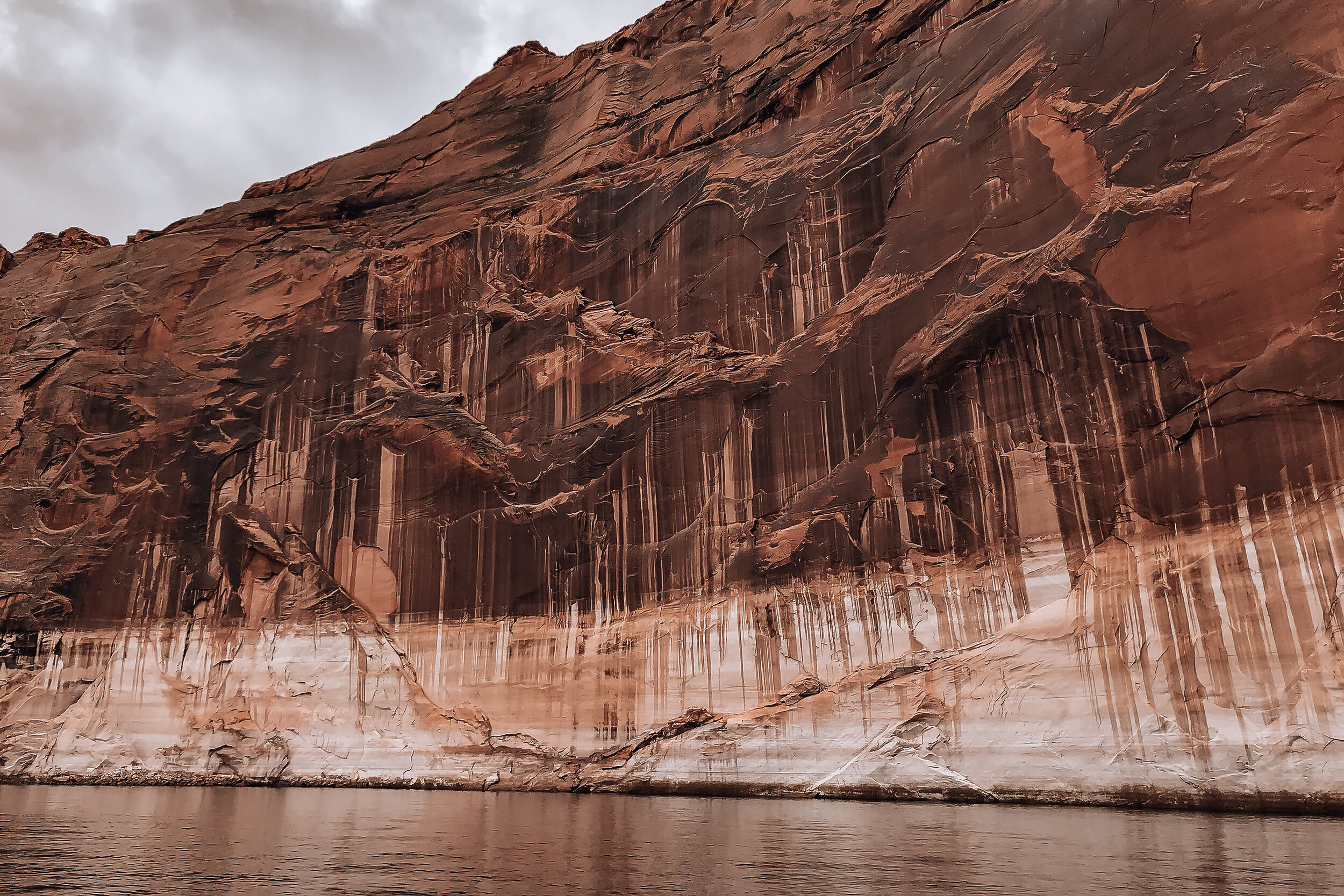
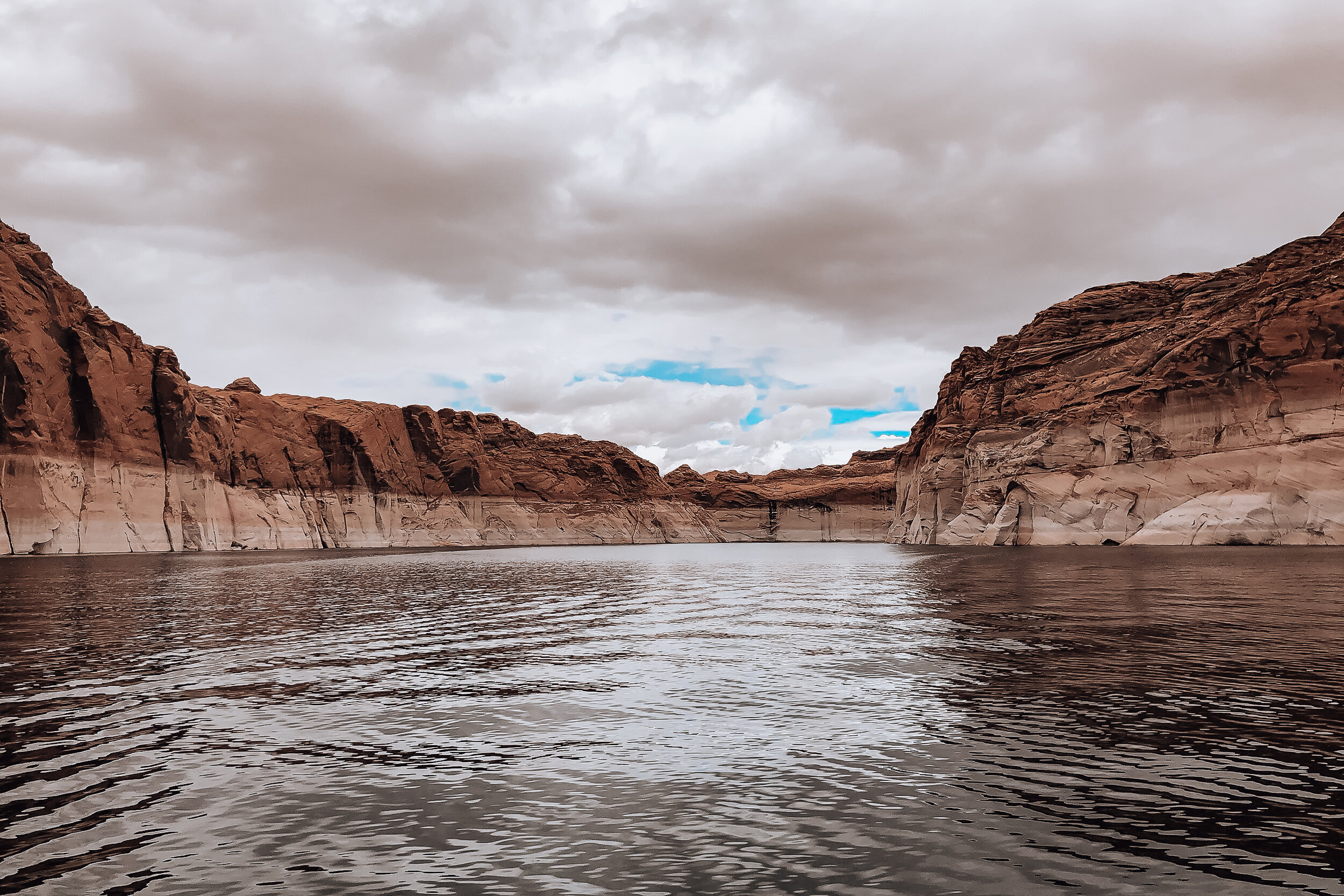
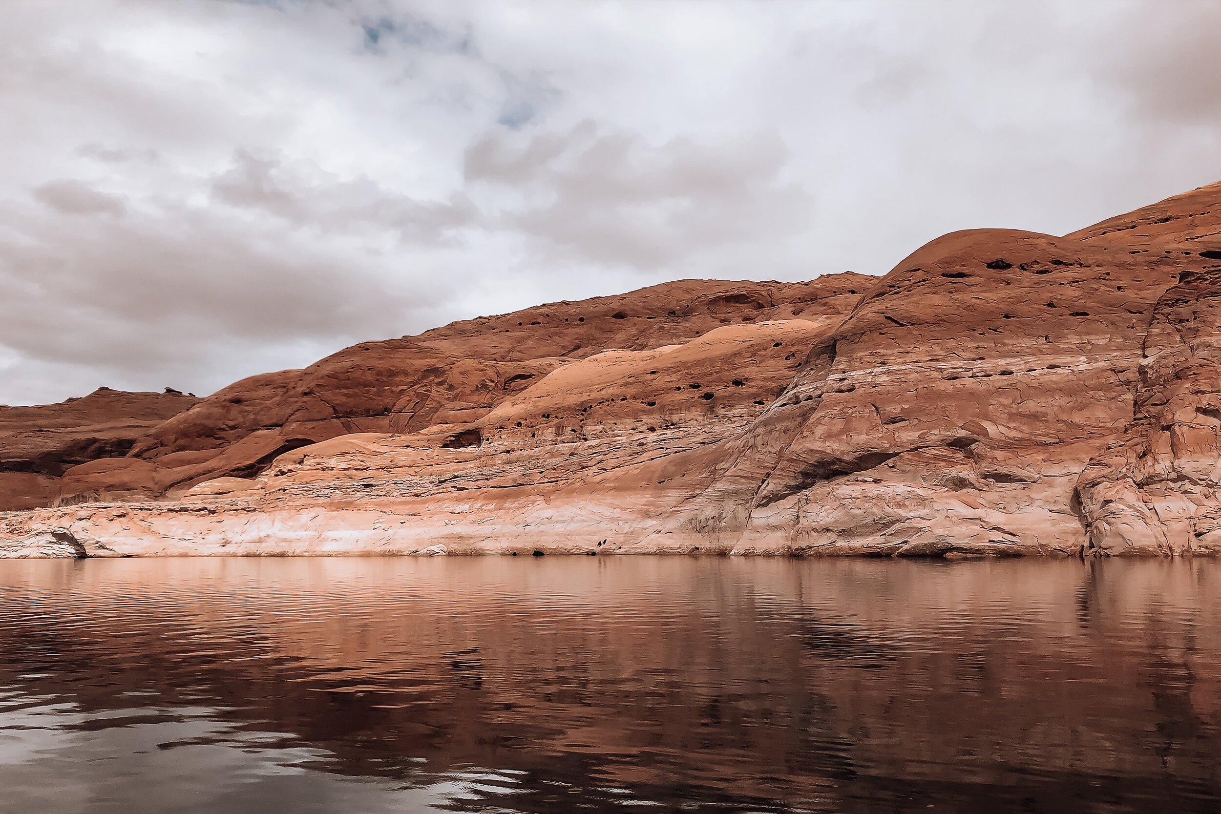
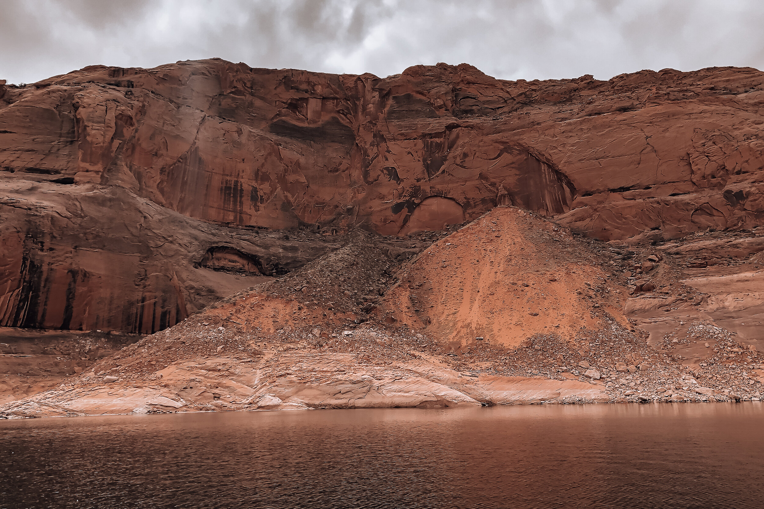
Navajo Cliff Dwellings
On the way to Monument Valley we took a detour to visit the Navajo National Monument and overlook the Betatakin Cliff Dwellings. At its peak nearly 800 years ago, it was home to hundreds of people and contained over 120 sandstone structures, many of which still survive today. It can be viewed at the end of a short hike from the Navajo National Monument Visitor Center
Antelope Canyon. A picturesque, narrow and winding sandstone canyon. It can only accessed via a Navajo tour guide.
Vermilion Cliffs. A sweeping wave of orange and golden shades of sandstone
Tower Butte. A towering 5000ft sandstone butte in the middle of Glen Canyon. There are helicopter companies offering rides to the top of the butte overlooking the sounding landscape
Utah
Monument Valley
Monument Valley offers views of the most quintessential western scenery and landscapes. The valley is made up of massive crumbling rock formations known as buttes. The buttes were formed millions of years ago by tectonic activity and erosion forming the structures visible today.
As we drove towards Monument Valley, we could see some buttes rising above the horizon and the clouds becoming a tinted orange color. We learned this is due to red dust particles in the clouds as well as the reflection of the soil.
The valley resides on the boarder of Utah and Arizona within the Navajo Nation. When we visited, the park had just closed due to the outbreak of Covid-19. However, many of the buttes and mesas are visible from roadside overlooks. Within the park is a loop of road that drives through the center of the three most famous buttes: West Mitten Butte, East Mitten Butte and Merrick Butte.
Staying in Monument Valley, with a host on Airbnb, we were still able to hike around the valley outside of the park. Our host directed us to the nearby Sentinel Mesa which had a trail leading to its plateau. Lead by a local dog, we hiked and climbed our way to the top. The path was a bit ambiguous the steeper we hiked but we eventually found our way. Once we reached its plateau, we saw what I would say is the highlight of our trip. We stood overlooking the valley with picturesque views of the entire landscape.

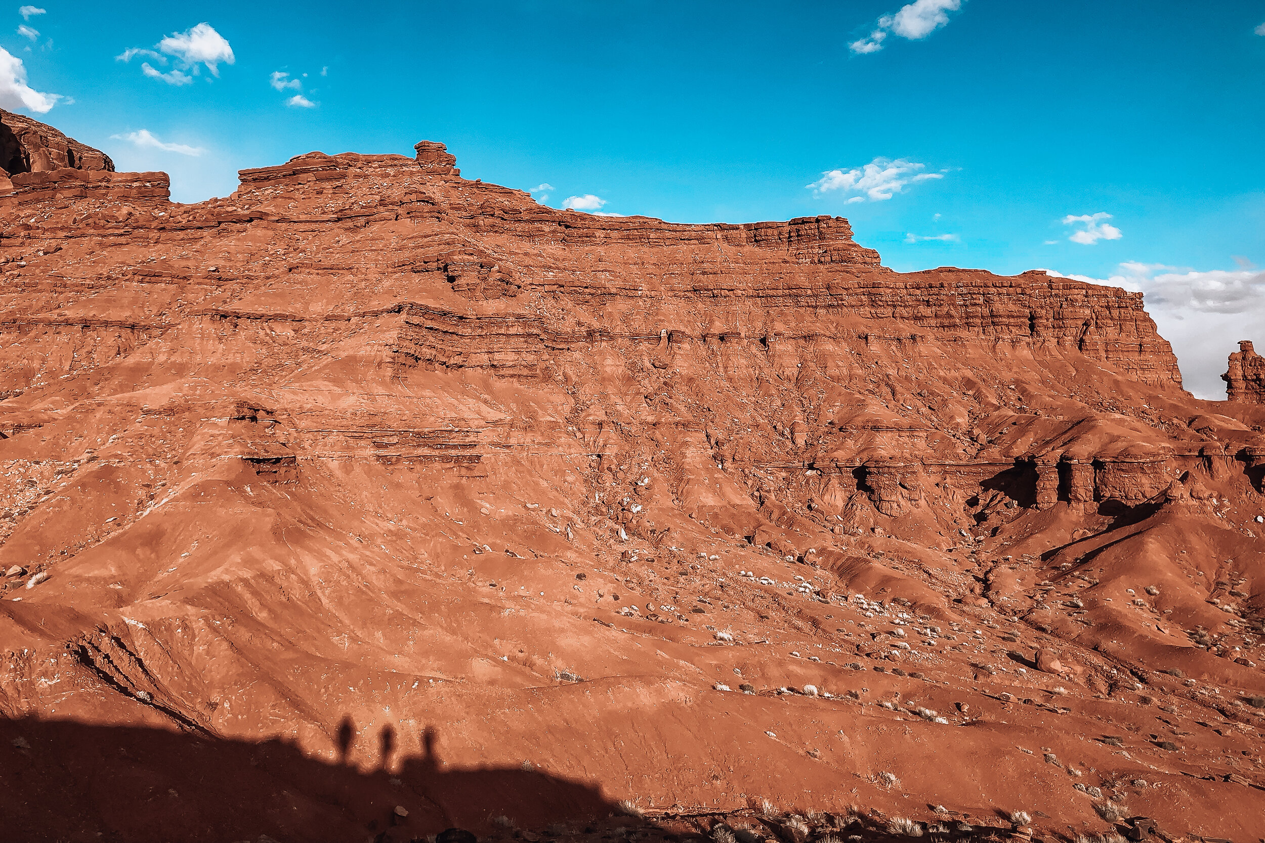
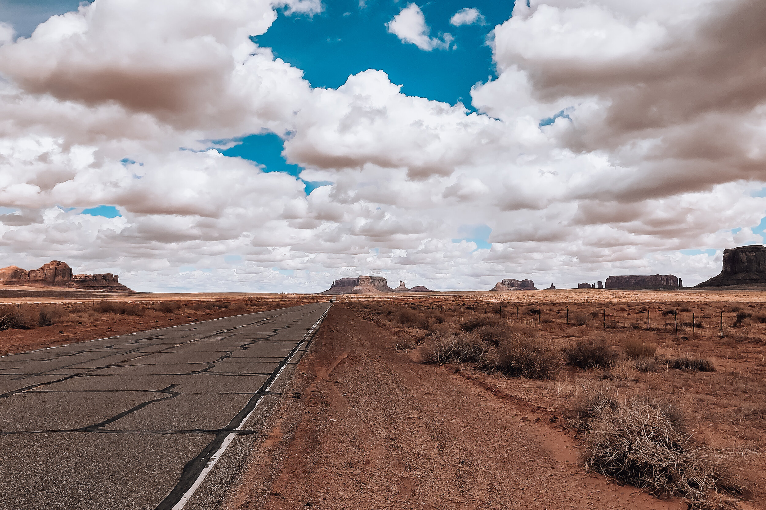
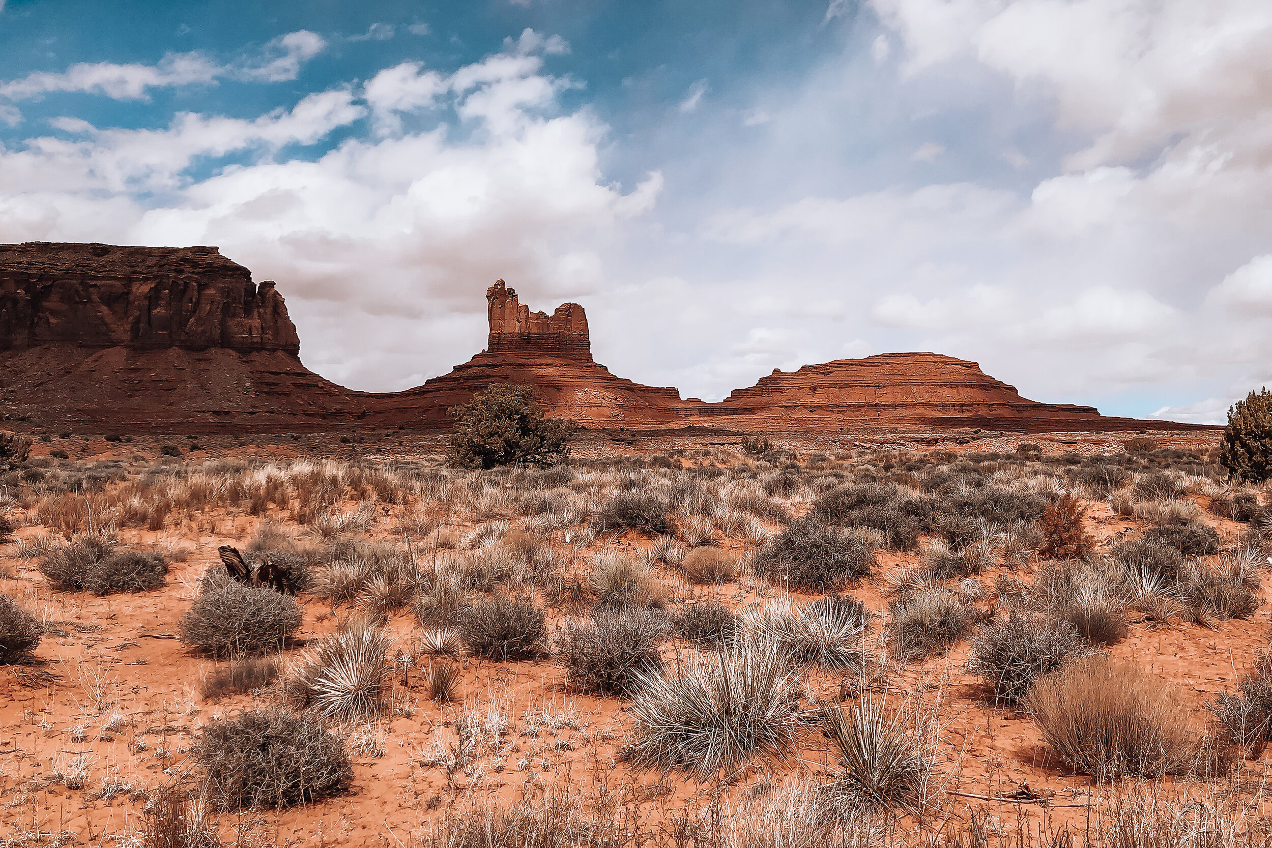

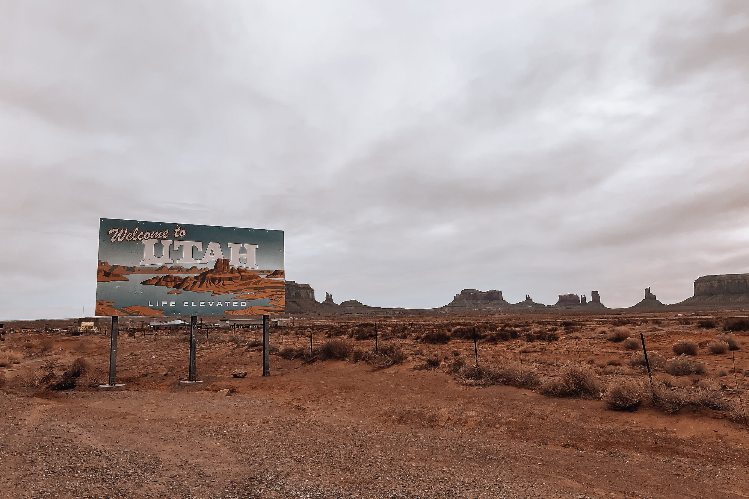
Hogan
Staying within the valley was an unforgettable experience. We spent the night in a Hogan, a traditional Navajo home. The Hogan is a domed structure built from cedar trees and covered in sand and clay offering a level on insulation from the heat and cold. The interior was rustic and cozy with multiple beds and a wood burning stove. The one we stayed in was built in 1934 and has been maintained ever since. Today, most Navajo People live in modern homes but keep a Hogan on their property for guests and ceremonial purposes.
Forest Gump Hill
Many movies and Hollywood scenes have been filmed in Monument Valley. One of the most notable, non-westerns, is a scene from Forrest Gump. Along the stretch of road through the valley is Forest Gump Hill. This is the spot Tom Hank’s character stopped running after 4 years crossing the country.
Mexican Hat
Mexican Hat is a rock formation named after A large flat rock, precariously balanced on top of a small vertical base protruding from the hillside. You can hike around the base and climb up to the underside of the “hat.” From here, there are beautiful views of the green and orange hillside carved out by the San Juan River.
Valley of the Gods
Near Monument Valley and Mexican Hat is another area famous for its rock formations, buttes and mesas. It is a smaller scale version of Monument Valley with grand views and hiking trails.
Navajo Frybread
One of the staple foods we ate was Navajo Frybread. It is a flat piece of dough fried in oil. We had it served two ways. The first way was as a taco, covered in bean, tomato, lettuce, onion and cheese. The second way was lightly covered in a sugary syrup. Devin being a baker, bought a 5lb bag of Navajo Frybread to bring home.
Central Arizona
One thing we learned across our road trip is that Arizona is massive. The climate and landscape changes from desert to mountain, cacti to pine forests and snowy to scorching heat. On our way to the southern side of the state we visited a number of roadside sights and national parks.
Holbrook, AZ
Midway through the state is the town of Holbrook. This town is famous for its roadside Americana charm and western history. Located off old Route 66, the downtown stretch is lined with old buildings surviving from the wild west, retro roadsigns and its famous tee pee themed hotel. The town is nearby the Petrified Forest National Park and has its share of rock shops and attention grabbing roadside dinosaurs.
Wigwam Motel
We stayed the night in Holbrook at the Wigwam Motel. This is the famous concrete and steel formed tee pee motel lined with vintage cars and a retro neon road sign. The motel has 15 tee pees, each acting as their own guest room. The stay was incredibly cute and felt like we had transported to a different era.
Petrified Forest National Park
The Petrified Forest is a National Park covering a flat area of desert that was once home to an ancient rainforest. Preserved under the soil and exposed due to erosion are the remains of fossilized trees from the forest that existed over 200 million years ago. Some of the trees are so well preserved that you can count the rings and feel the grain of the bark.
Located about an hour from west of Holbrook, we drove through the Petrified Forest. We stopped to explore the Blue Mesa, an area of the park eroded by rain revealing colorful bands of blue, purple, grey and red soil as well as the petrified wood. We drove around the exterior loop, wandered its interior then walked through the Blue Mesa trail. Throughout all areas are massive logs and fragments of the trees laying across the ground. It was crazy to think that we were walking across land where the dinosaurs roamed and a forest thrived over 200 million years ago.
Barringer Meteor Crater
Midway through the state is a giant meteor crater formed over 50,000 years ago and measuring nearly a mile across and over 500ft deep. The crater is accessible to view through the park’s visitor center and has two decks that overlook the crater from its rim. Within the visitor center are a large number of meteorites on display as well as small fragments of it for sale.
Meteor City
Further down the highway is the abandoned roadside attraction of Meteor City. It was started in the late 30s as a gas station, grocery store and souvenir stand along the old Route 66. It’s an eerie spot to walk around and watch trains pass by.
Southern Arizona
Saguaro National Park
Located within in the Sonoran Desert outside of Tucson is Saguaro National Park, home to the Saguaro Cactus. The Saguaro is the classic symbol of the Southwest with its tall waxy green trunk and multiple arms. The park is divided into two separate districts located on opposite sides of Tucson. The Tucson Mountain District is to the West and the Rincon Mountain District to the East. We visited the east park and easily spent the whole day here.
Throughout the day we drove around the park’s loop surrounding the Cactus Forest, stopping to explore multiple hiking trails. The hike through the Cactus Forest was our favorite. It took us through a desert terrain densely populated with mature saguaros. There was one main trail through the forest any many offshoots which made it easy to get lost while exploring. Luckily, we knew the forest was surrounded by road so we weren’t too worried about loosing our way. Though so close to civilization, it truly felt like the wild west. We even spotted a diamond back rattle snake slithering across our path.
Tucson’s Barrio Viejo
A historic neighborhood with old adobe buildings, all painted vibrant colors and landscaped with desert cacti. Barrio Viejo is one of Tucson’s first neighborhoods, influenced by Mexican American heritage. It is a stunning area to explore and imagine living in.
Getting Around
For a road trip, you need a car and at least a half tank of gas at all times. Not owning one ourselves, we rented. Throughout the trip, we drove nearly 3000 miles, more than I’ve driven in the past 6 years combined. Once we began driving, the miles seemed to pass by. However, while driving long distances, it always took longer to get somewhere than expected. We found it best to allow extra time for roadside stops, detours and traffic. For our first road trip, we consider it a success. We can’t wait to revisit the southwestern highways and visit many of the other sights the region has to offer.
If we had more time…
If we had at least two more weeks to aimlessly drive throughout the Southwest, I can guarantee there is so much more we would have stopped to see and do. Below is a short list of some of those places:
Spent more time in LA
Drove up the Pacific Coast Highway in California
Visited Sequoia and Death Valley National Parks
Stuck around the Grand Canyon and hiked
Visited some of the sights we missed in Paige, AZ
Stayed the night in Sedona, AZ
Spent time in Albuquerque and Santa Fe New Mexico
Tried to track down the lightening rod project in New Mexico
Visited the West District at Saguaro
Crossed the boarder into Mexico an afternoon


